Get Lost Mountaineering
You are here: Scotland » 08 Cairngorms and Buchan » North East of Lecht Road
Mona Gowan
Mona Gowan from Glenfenzie on A939
Start/Finish
Parking area by the bridge 200 m S of Glenfenzie on the A939 Tomintoul to Ballater road at about NJ 312 027.
Distance/Time
10 km Approx 3½ hours
Peaks
Mona Gowan, 749 m, NJ 336 058. OS sheet 37.
Introduction
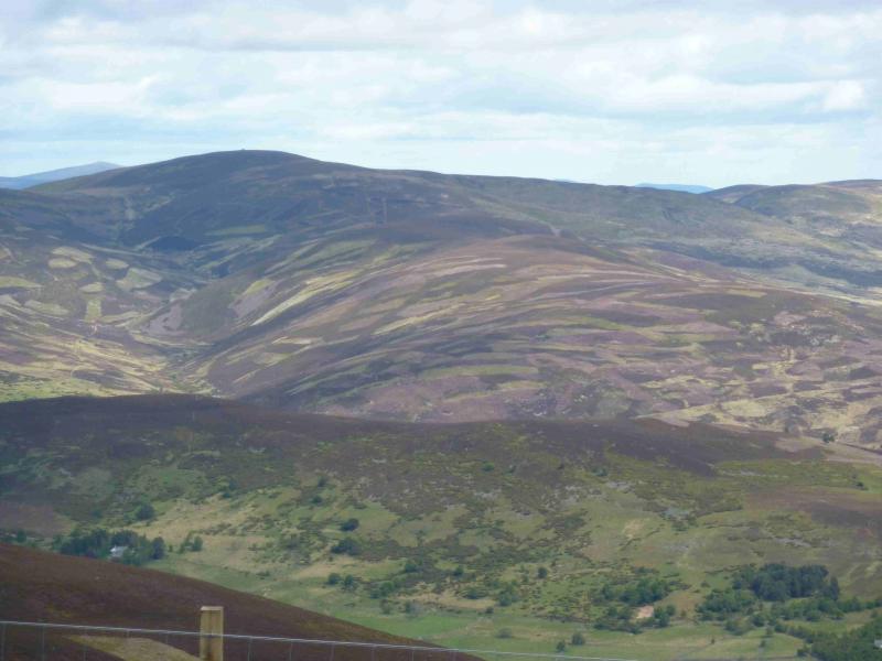
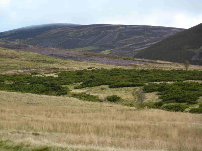
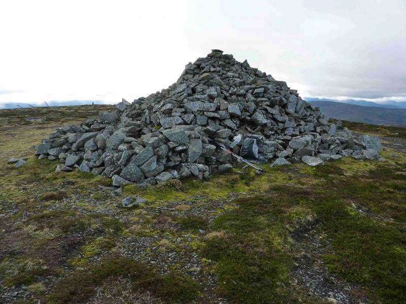
An easily ascended peak with fine moor land views and, on clear days, views to Lochnagar and Ben Avon. Mona Gowan’s summit has a large jubilee cairn. Its ascent can be combined with Morven to the E and is the subject of another walk.
Route
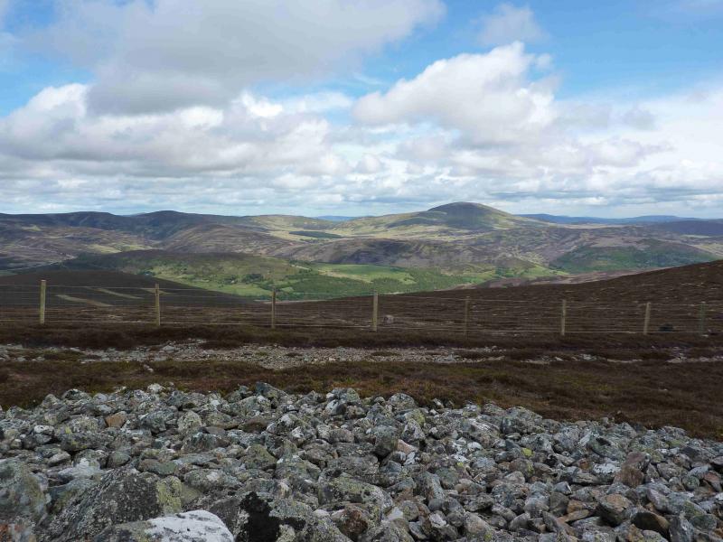
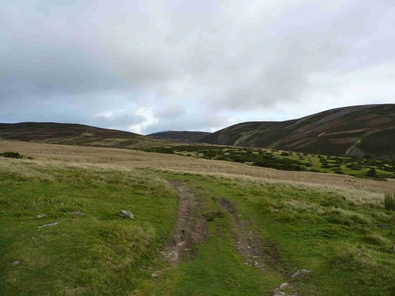
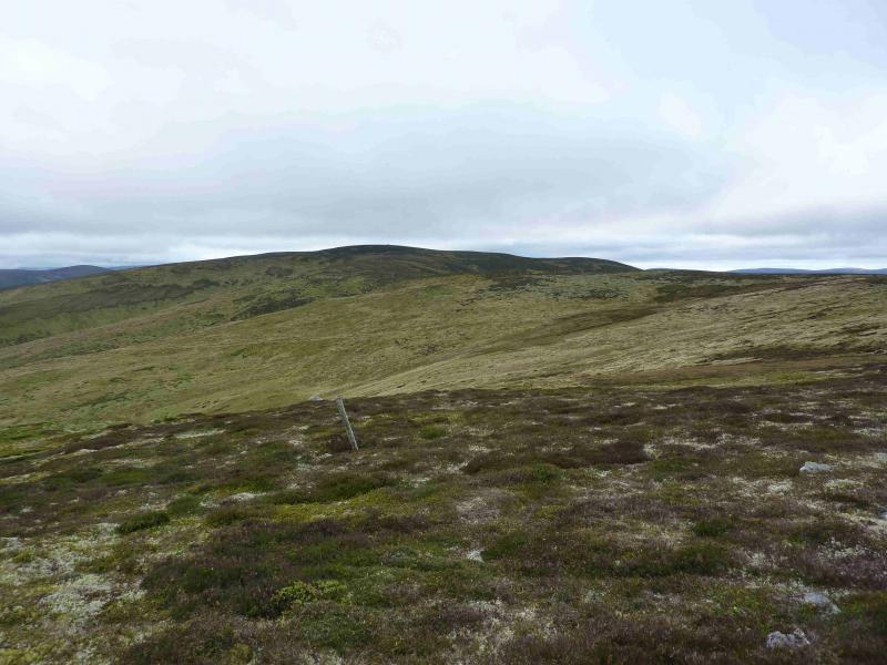
(1) Walk N up the road, past Glenfenzie, to a track which starts at NJ 312 037 and first heads SE then N and is a bit boggy and indistinct in places. Follow the track to the W shoulder of Scraulac then head E to the Scraulac cairn. Now head E over mainly level ground, boggy in places, to the cairn on top of Cairnagour Hill. Descend E on a narrow path through the heather then ascend E to the large jubilee cairn on Mona Gowan, 749 m.
(2) Descend the broad S ridge which has a track on its W side to join the main track at about NJ 332 045. Follow this back to Glenfenzie. On this date, the burn flowing down the S of Scraulac had mink traps across it.
Notes
(a) This walk took place on 14th November, 2009.
(b) An easier approach, although parking is not easy, is from Fleuchats to the N at about NJ 335 090 where a good path then track can be followed almost to the summit.
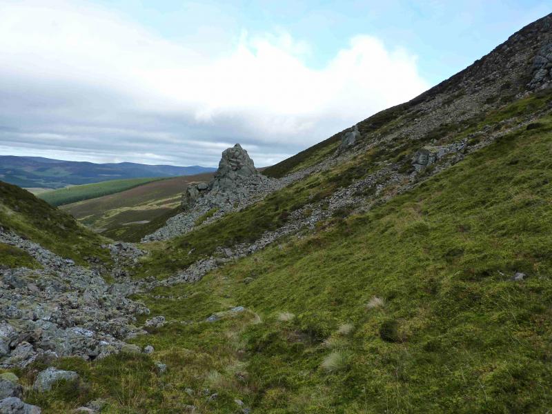
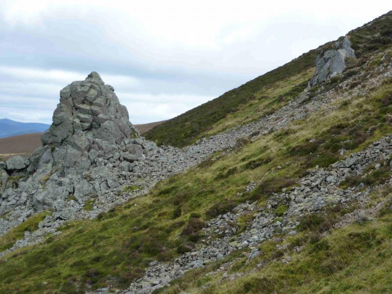
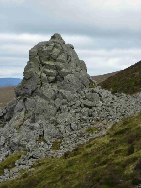
(c) Not far to the E of Mona Gowan is a gap known as the Slacks of Glencarvie. These are worth the short detour. To reach them descend the broad E ridge, following some old fence posts to reach a gap aligned N to S. This is the Slacks of Glencarvie and there is quite a prominent “stack” at the northern end which can be climbed easily on its E side. Return over Mona Gowan or contour around to join its S ridge S of the summit.
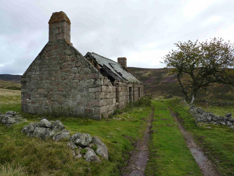
Photos - Hover over photo for caption. Click on to enlarge. Click on again to reduce.