Get Lost Mountaineering
You are here: Scotland » 08 Cairngorms and Buchan » West of Lairig Ghru
Mullach Clach a' Bhlair & Meall Dubhag
Mullach Clach a' Bhlair & Meall Dubhag from Achean in Glen Feshie
Start/Finish
Car park about 1 km N of Achlean on E side of Glen Feshie. Achlean is on a minor road signposted from the B970 just N of Feshiebridge. From Aviemore, drive to Inverdruie (on the Cairngorm road) then turn right on to the B970.
Distance/Time
20 km. Approx 7 hours.
Peaks
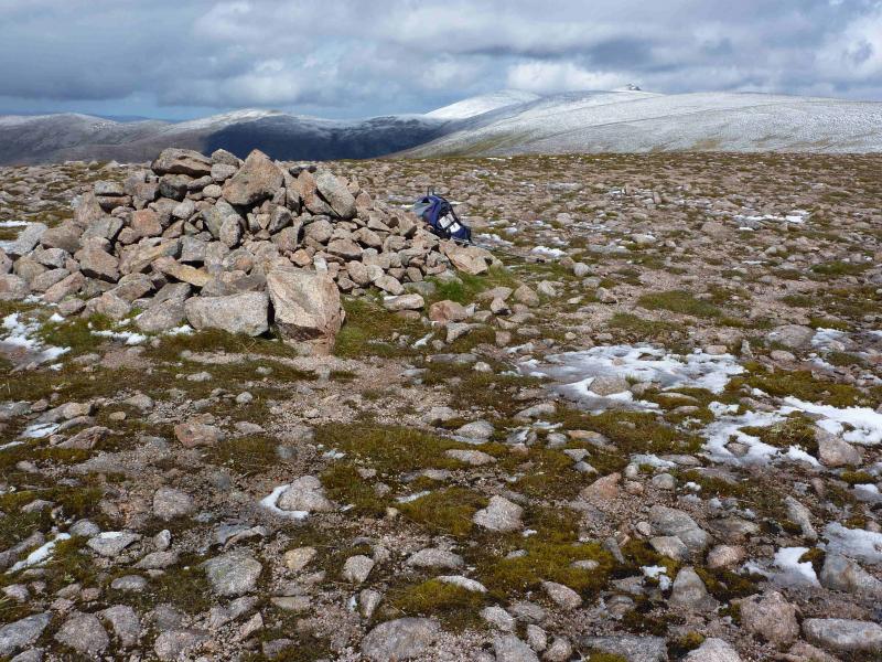
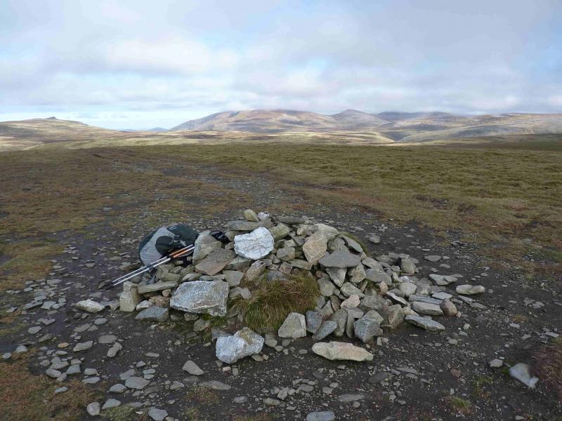
Mullach Clach a' Bhlair, 1019 m, NN 882 927.
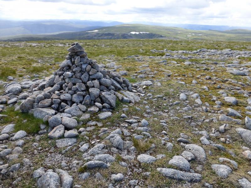
Meall Dubhag, 998 m, NN 880 955. OS sheet 35 or 43.
Introduction
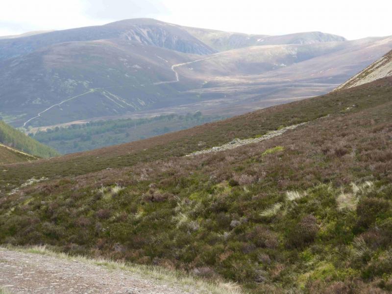
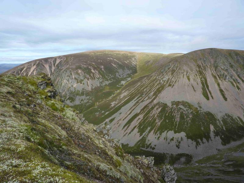
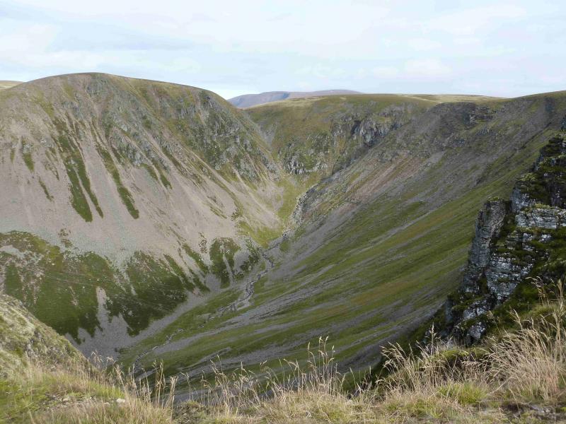
On a clear day this walk gives excellent views to Braeriach, The Angel's Peak and Cairn Toul. Navigation and terrain are relatively easy in summer but in winter this is a walk for the experienced and competent winter mountaineer only. It should be noted that some guide books involve a double crossing of the River Feshie. This is no longer possible as the upper bridge was washed away on 3rd September, 2009 and had not been replaced by 20/5/11 nor do there seem to be any plans to replace it.
Route
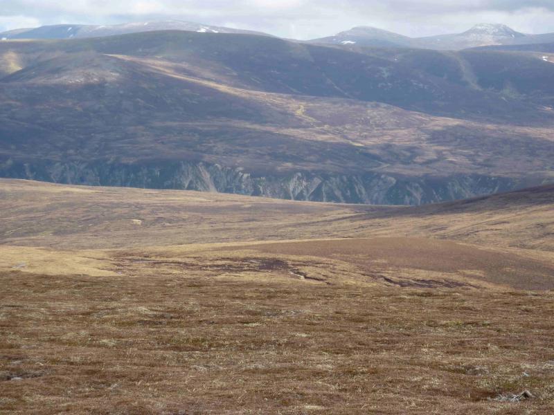
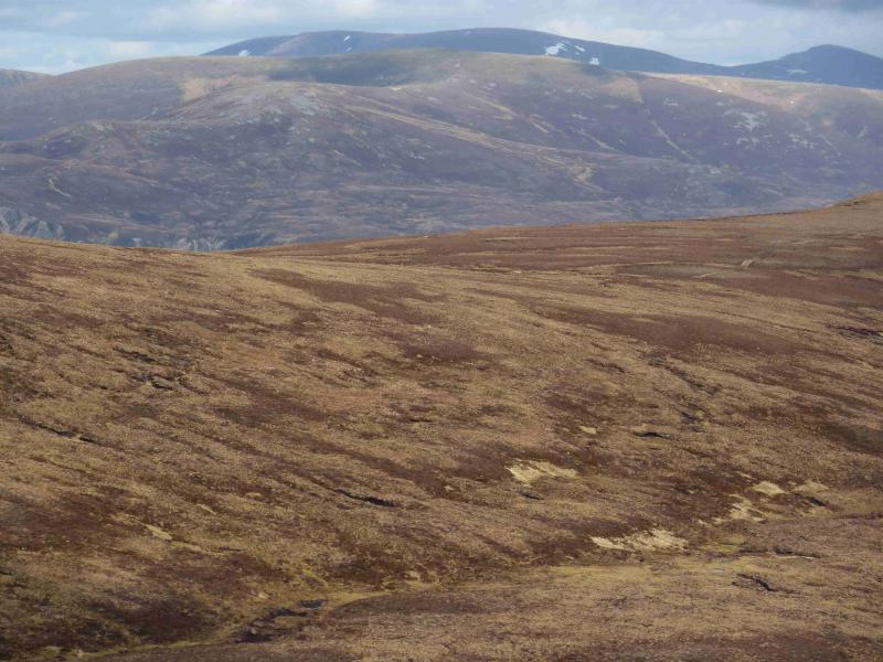
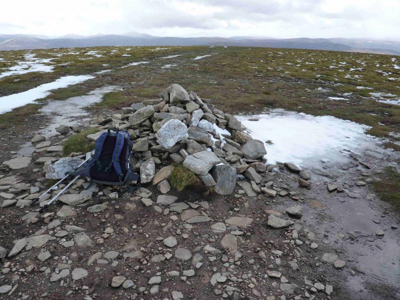
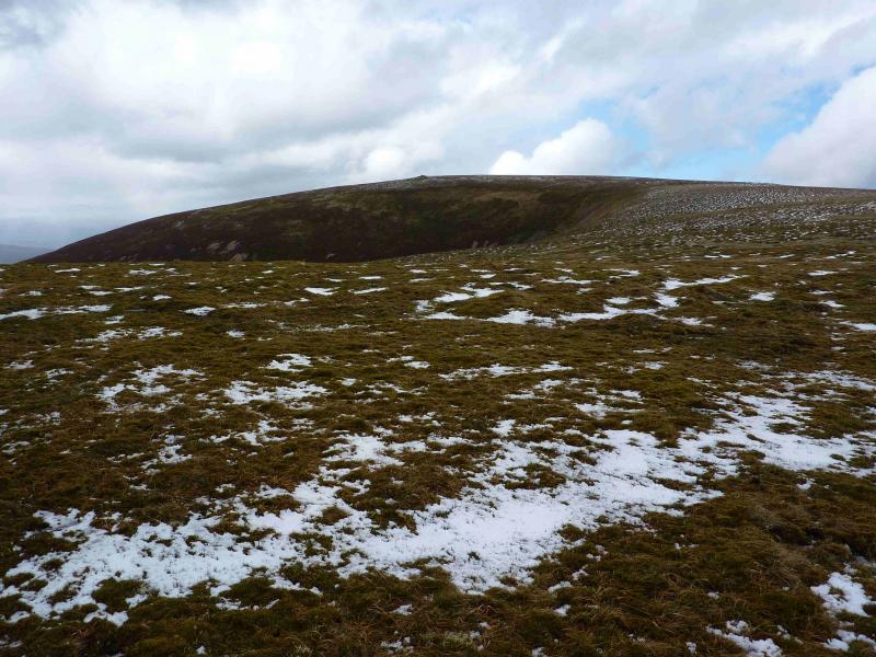
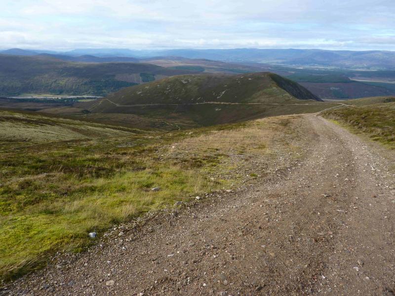
(1) From the car park, continue to the old farm at Achlean which is passed by a path on its left, E. Continue and pass through a gate but do not head across the grassy area towards the bridge. Instead, continue along the E side of the river on a good, but narrow, path which follows the edge of the upper bank. This is followed alongside, and slightly into, a wood before reaching a gravel track. Turn right here and follow the track, which becomes grassy, until a track comes up from the river (from the washed away bridge to be precise). This point is on a broad grassy meadow just after the last trees. Follow this track uphill. An obvious burn is not that far away to the right. It soon becomes a good gravel track which leads up on to the Moine Mhor to reach a junction with the main track across the plateau. Turn right and follow the track S/SW/S/SE for about 600 m then head S up very easy grassy slopes to reach the medium summit cairn of Mullach Clach a' Bhlair, 1019 m.
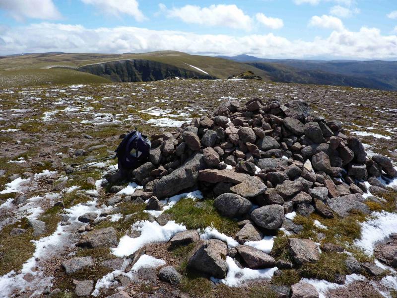
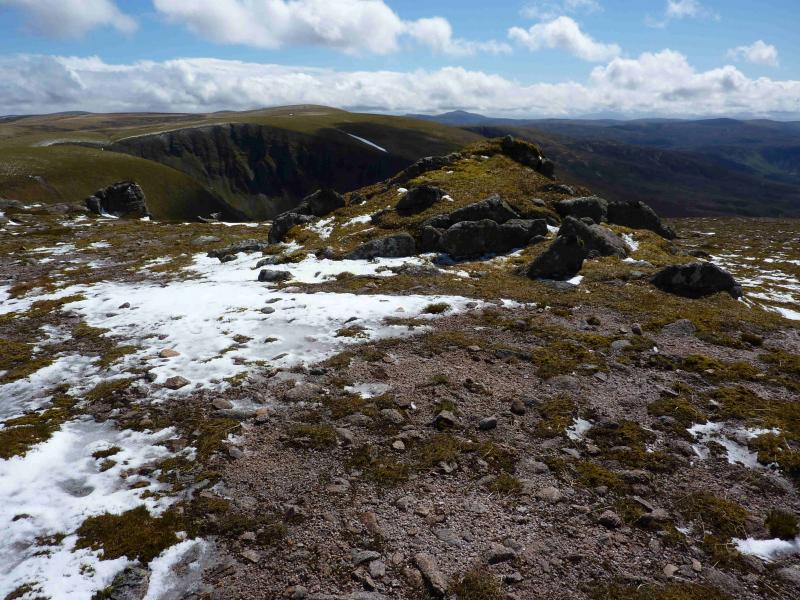
(2) Retrace to the track junction and turn right, NE. Follow the track for a short distance before leaving it and going roughly N to follow the edge of the plateau, above cliffs in places. There is a path most of the way which crosses a few hollows in which the streams may contain more wate rthan expected on a plateau. However, there are usually no difficulties in crossing them. After the second stream, head N then NW to the medium summit cairn of Meall Dubhag, 998 m, which has a natural mound close by at similar altitude.
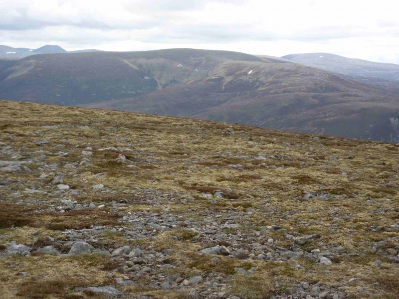
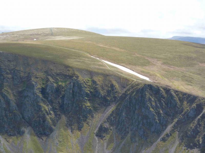
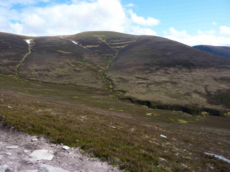
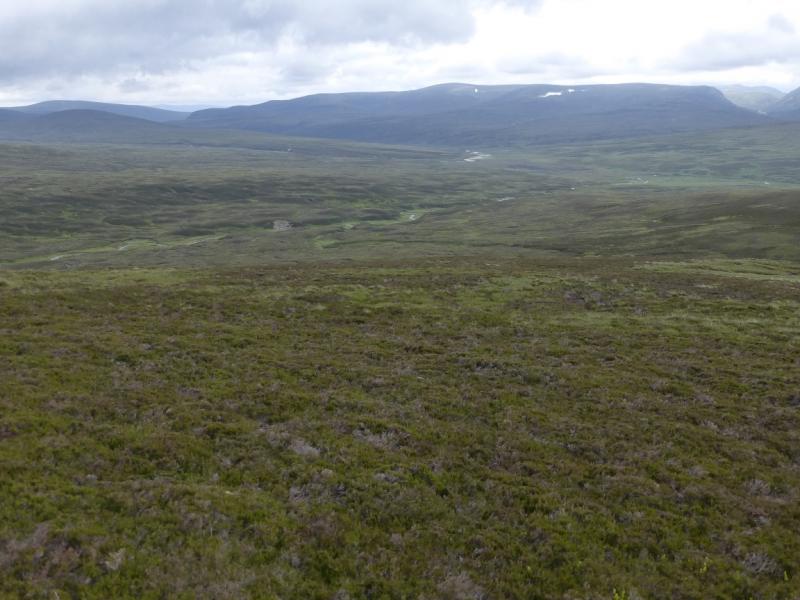
(3) Descend the gentle slopes E then ascend NE to reach the path on the SW shoulder of Carn Ban Mor and follow this down to the road just N of Achlean, passing through a wood just before reaching the glen. Continue N along the road back to the car park.
Notes
(a) This walk took place on 20th May, 2011.
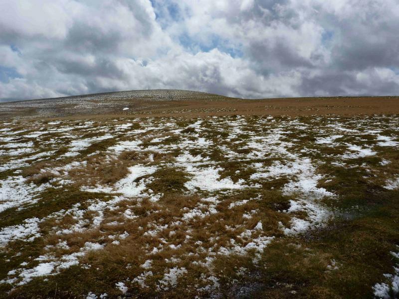
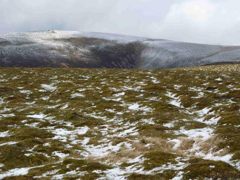
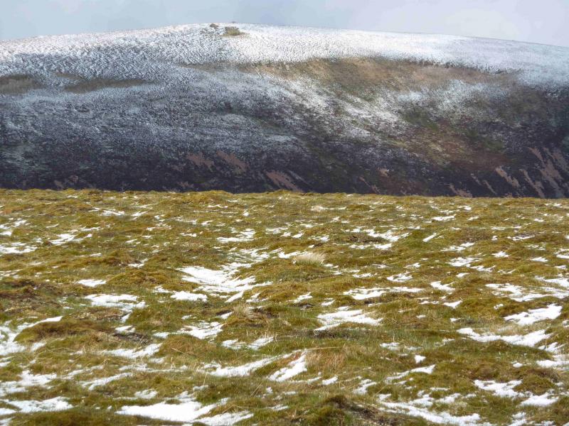
Photos - Hover over photo for caption. Click on to enlarge. Click on again to reduce.