Get Lost Mountaineering
You are here: Scotland » 01 South of Oban to Stirling and Fife » Loch Earn to Loch Tay
Ben Chonzie from Glen Lednock
Ben Chonzie from Glen Lednock
Start/Finish
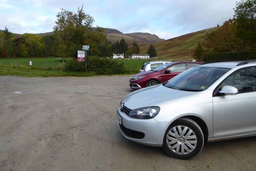
Minor roadup Glen Lednock just before bridge near Invergeldie NN 743 273, up the minor road from Comrie on A85 road from Crieff to Lochearnhead.
Distance/Time
12 km Approx 4 hours
Peaks
Ben Chonzie, 931 m, NN 773 308. OS Sheet 51.
Introduction
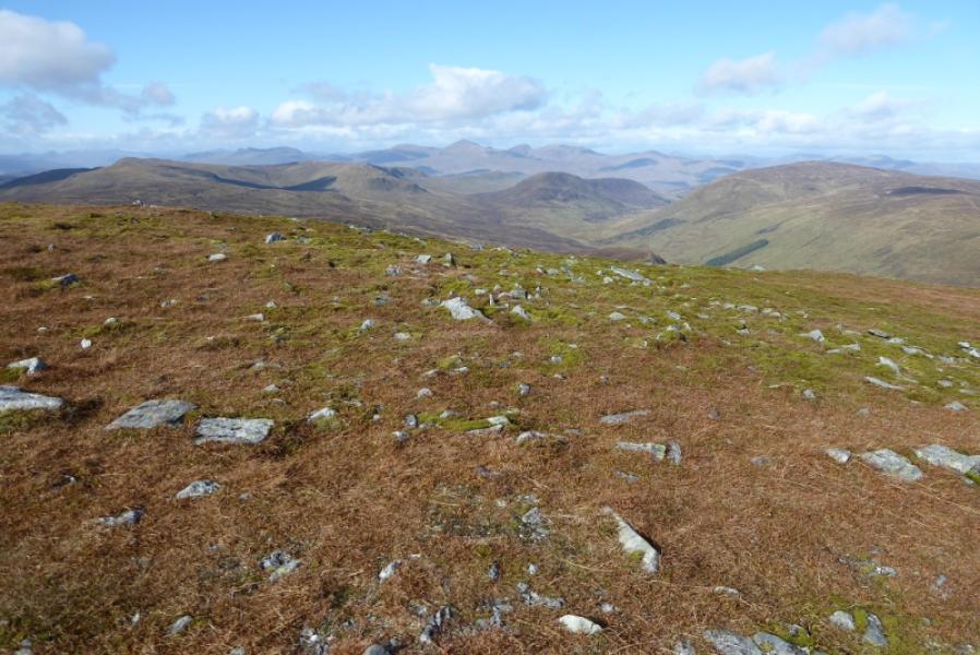
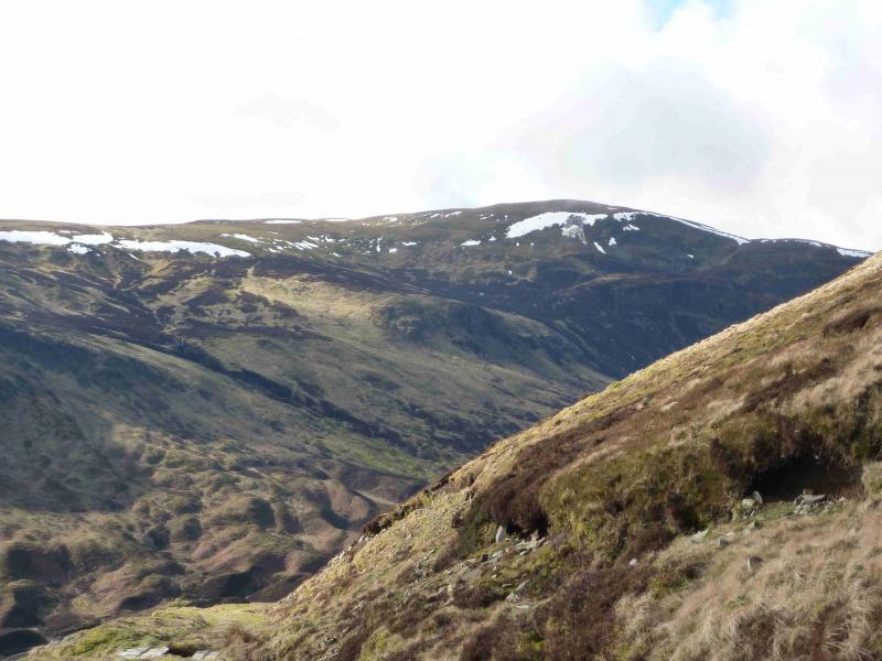
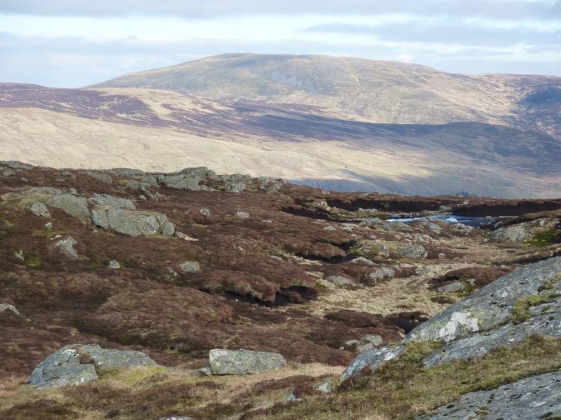
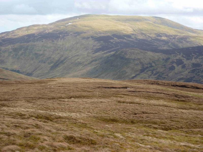
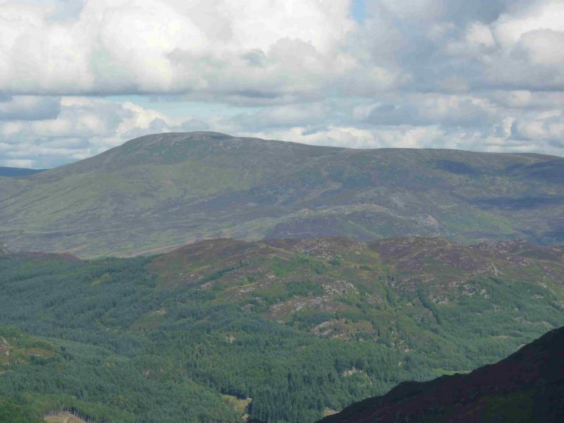
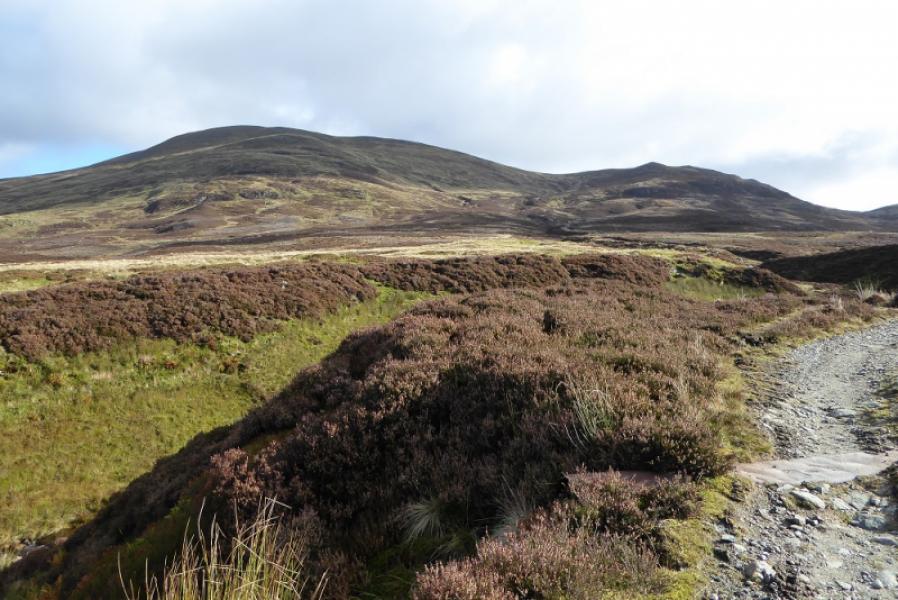
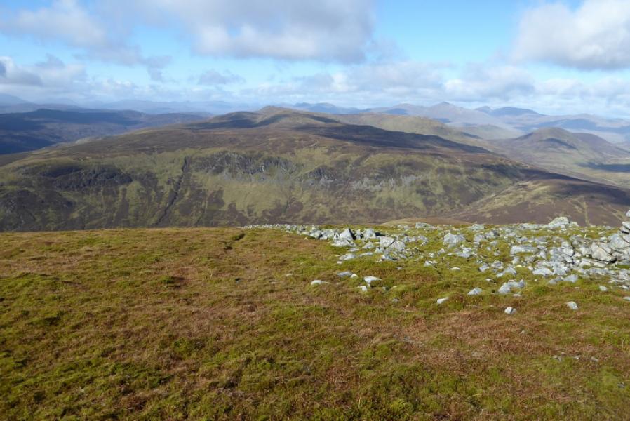
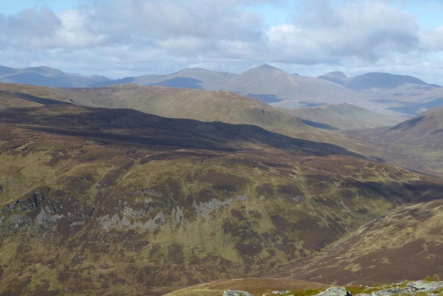
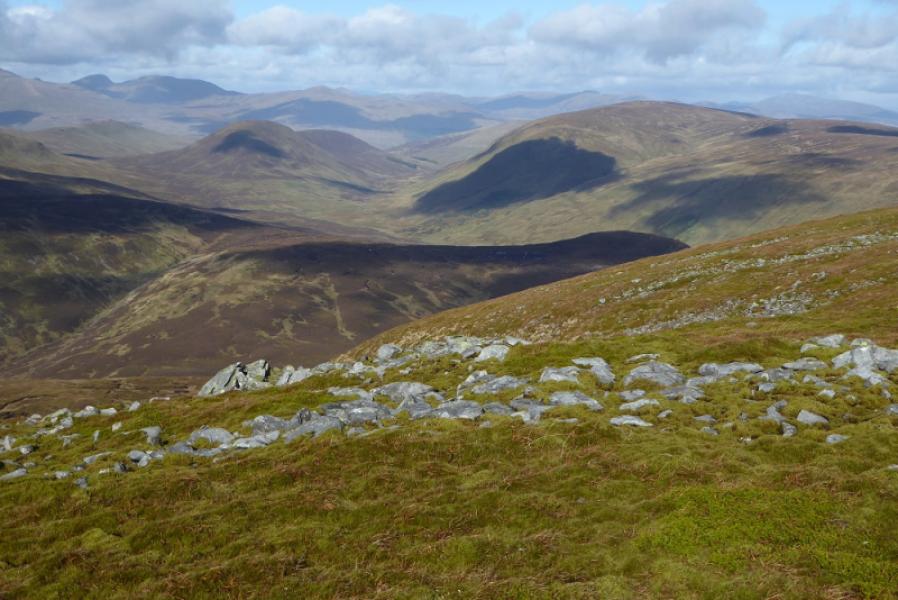
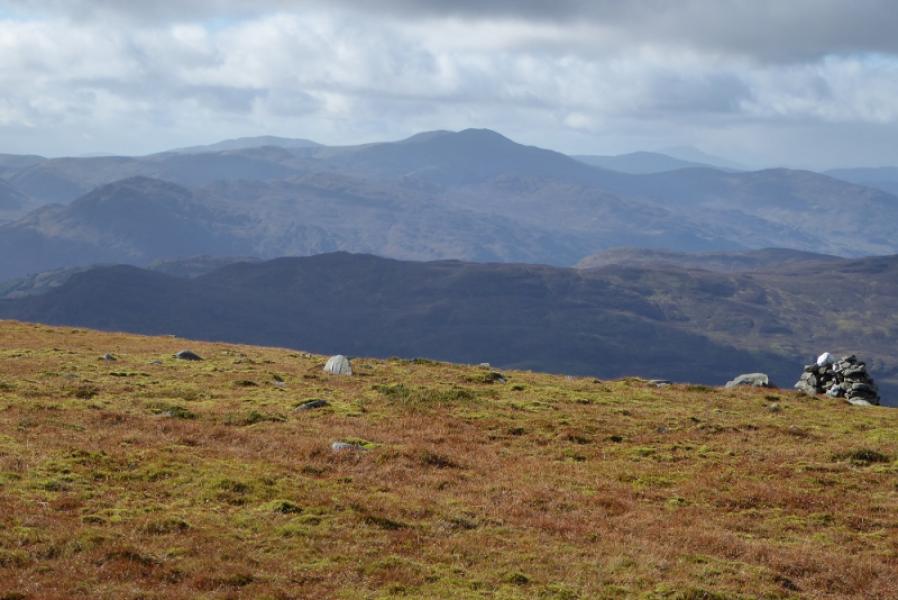
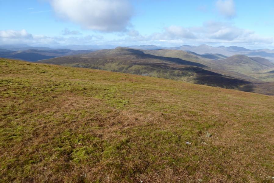
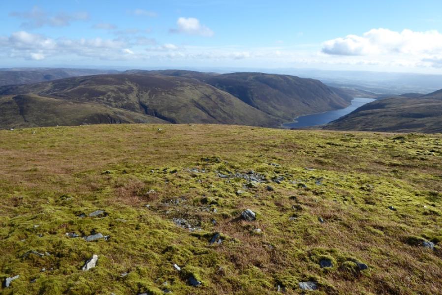
This is a very easy Munro to ascend. Even in poor visibility, there should be no problems with navigation. There are at least 4 variations on the route from Glen Lednock. In clear weather, there are views to Auchnafree Hill, Creag Uchdag, Creagan na Beinne, Ben Lawers, Schiehallion, Ben Vorlich, Ben More and Stob Binnein.
Route
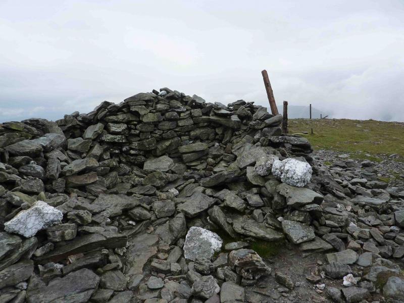
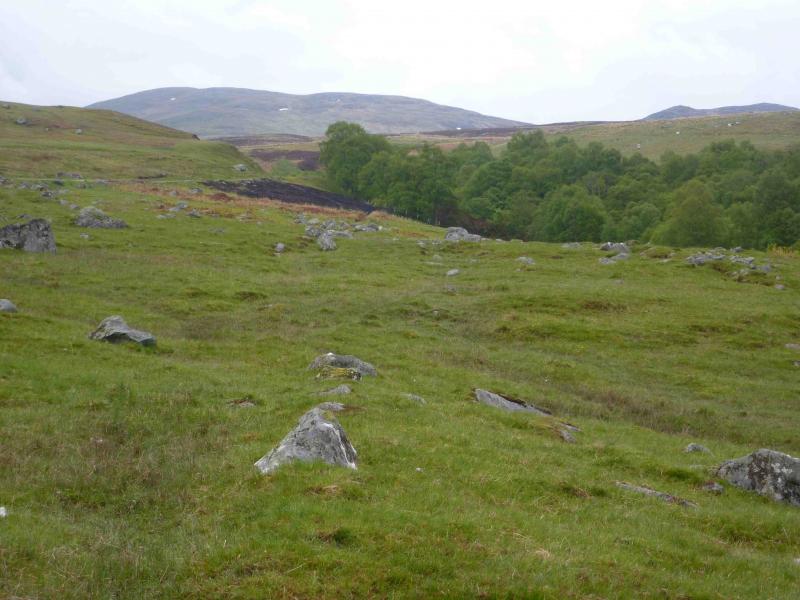
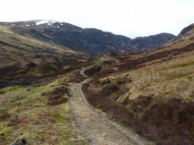
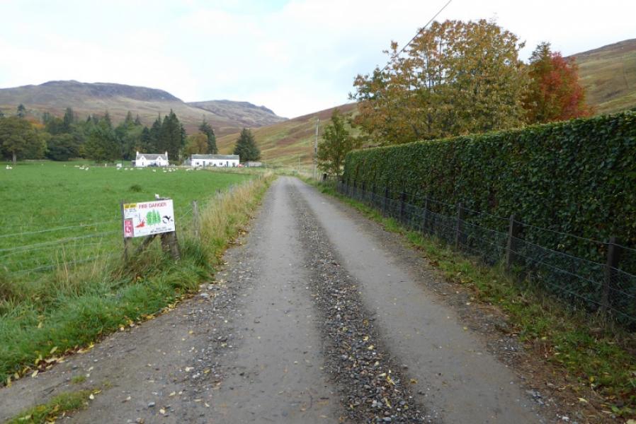
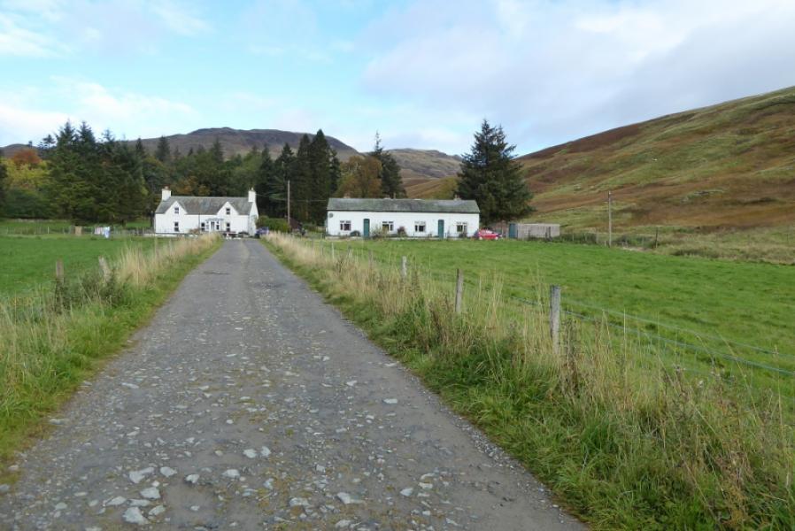
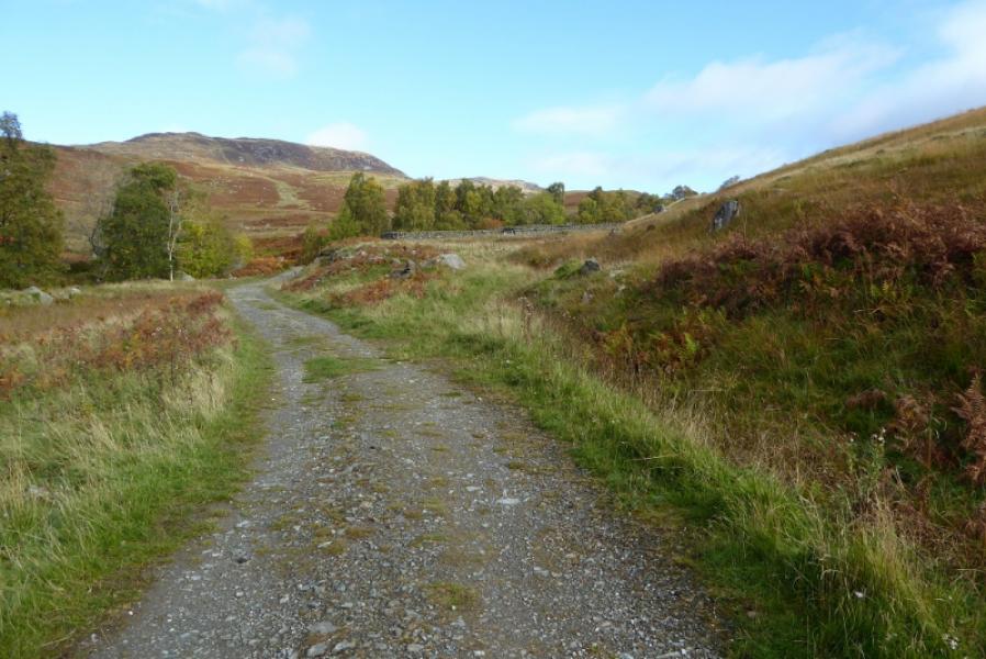
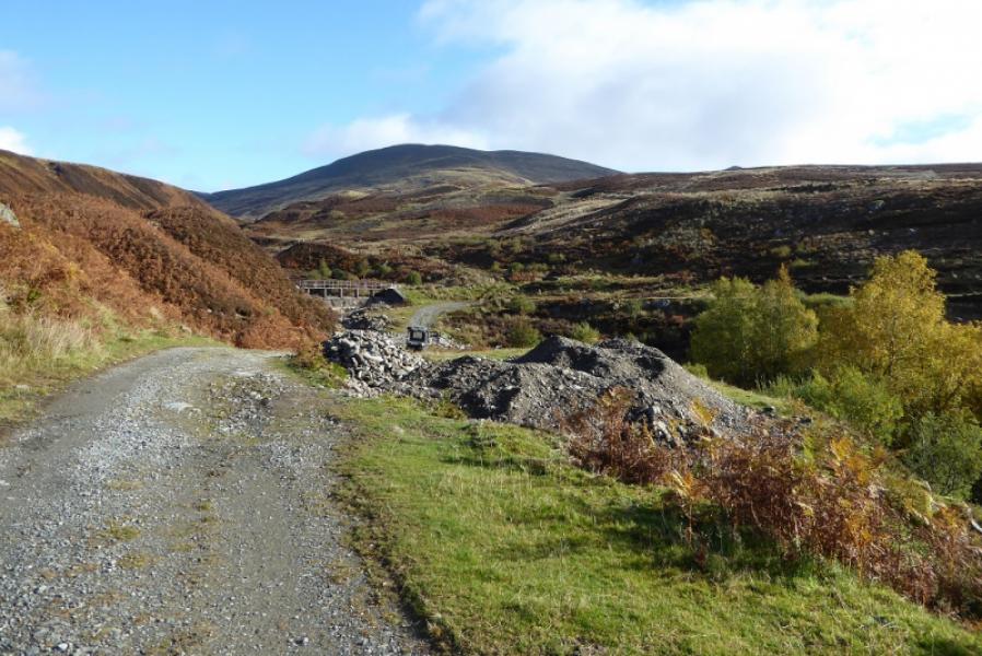
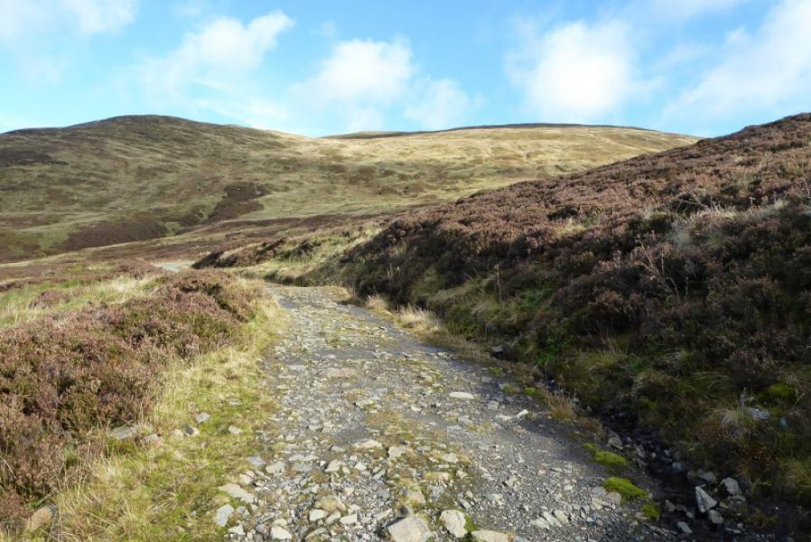
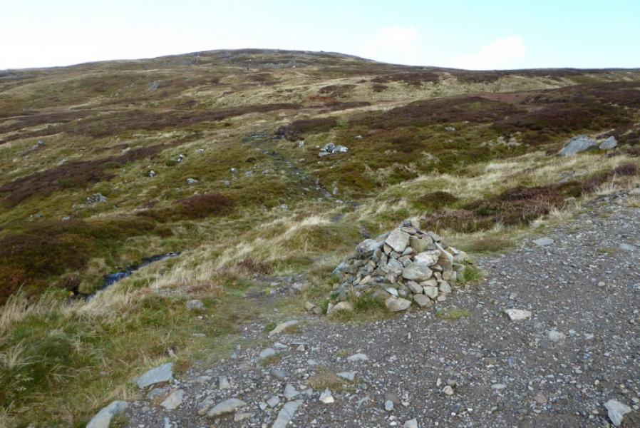
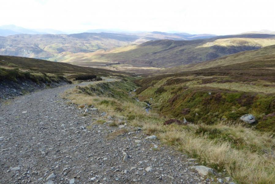
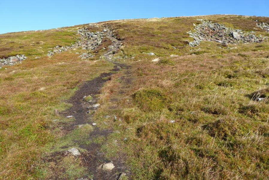
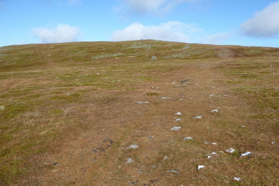
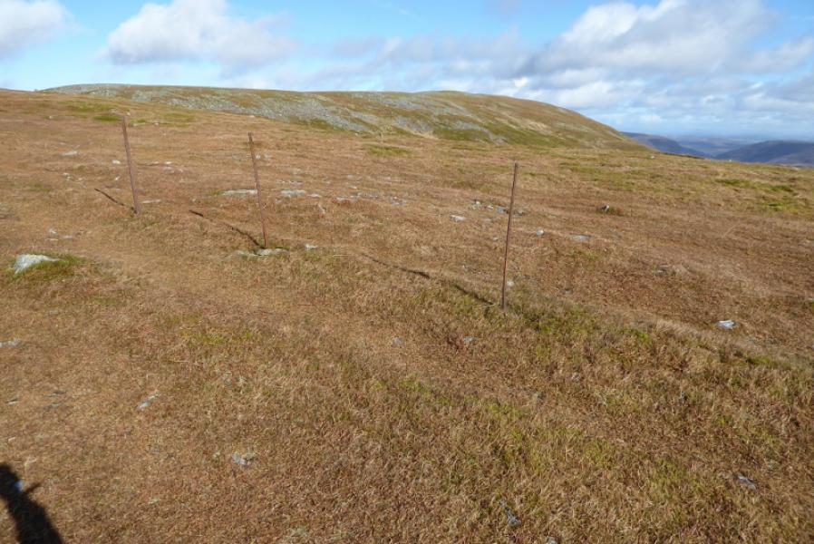
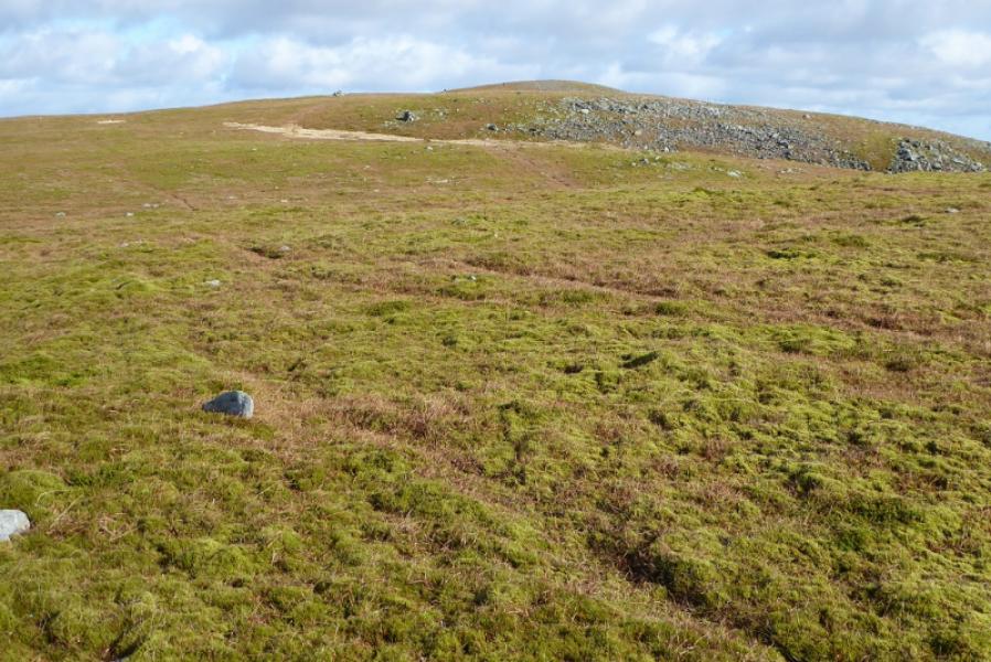
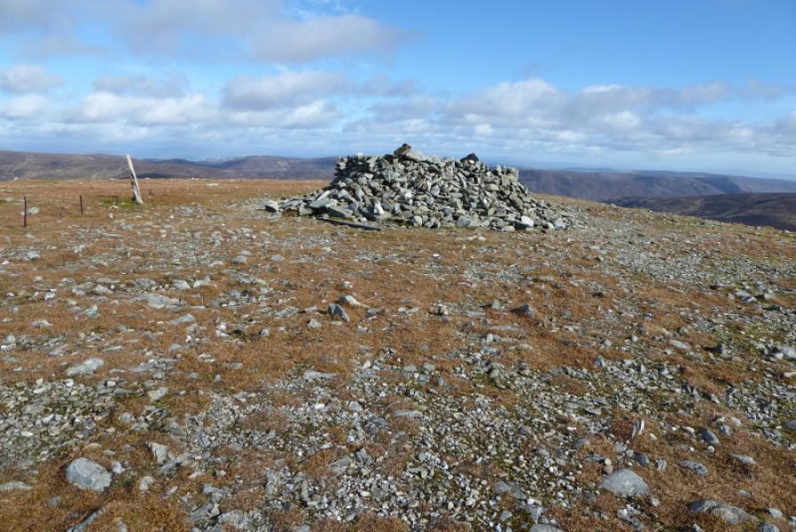
(1) Follow the obvious track N which starts about 50 m before the bridge and heads towards a small group of houses. When a small dam is reached, the track turns E. Continue on the track to reach a junction, shown on the map, at NN 775 290. Go straight on, ignoring the left turn, but note that about 30 m down this track* on the left, across a stream, is a path going NE towards the SW ridge of Ben Chonzie. About 5 m up this path is a small cairn followed by what appears to be a grouse butt – both of these are visible from the main track. This path may be used in descent. Continuing on the main track, which is gradually winding its way towards the SSE ridge of Ben Chonzie, there is a small cairn on a right hand bend which marks the start of a path. This is the the most popular ascent route. The cairn is where the track swings away from the burn and the path soon crosses this burn with little difficulty. Further up the track, there is another right hand bend with a cairn marking the start of a path. Both these paths cut off a large corner compared to going to the end of the gravel track. Beyond here, the track is a green strip of grass but soon splits. Either go straight on to reach an old fence which can be followed left, NW, or take the left fork then the right fork to cut a corner and join the old fence further along on a distinct track. This track soon becomes a path and climbs roughly NW, still following the fence, on a broad, mainly grassy ridge. On a minor top, with a low cairn, the fence turns NE and dips slightly. In thick weather, this could be mistaken for the summit. Continue NE still following the fence. There is now a line of widely spaced grouse butts, which look like cairns, about 50 m to the left, NW, of the fence. Soon after, reach the very large summit shelter cairn of Ben Chonzie, 931 m, at a junction of fences.
(2) Return by any of the routes described above or follow a path on the left, SE, of the grouse butts which gradually diverges from the fence and goes down the SW ridge to join the other track* mentioned above. Turn left on this track and, in 30 m, join the main track to return to the start. The path, although narrow, is easily followed down to the track.
Notes
(a) This walk took place on 29thMay, 2010, 5th October, 2018, and twice before some years earlier.
Photos - Hover over photo for caption. Click on to enlarge. Click on again to reduce.


 from Ben Chonzie.JPG)