Get Lost Mountaineering
You are here: Scotland » 08 Cairngorms and Buchan » Eastern Cairngorms to Lecht Road
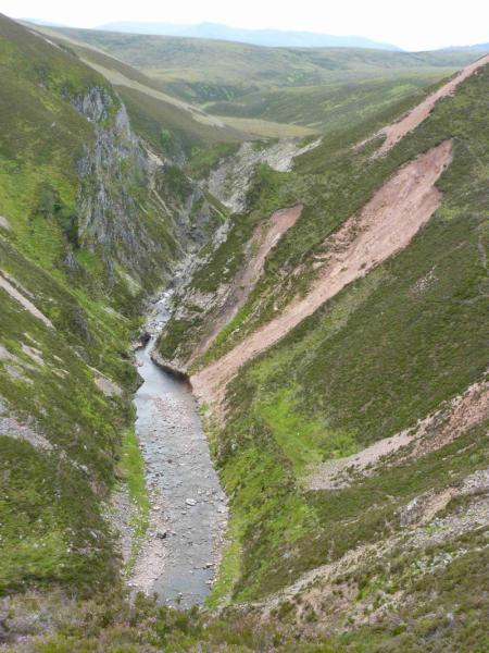
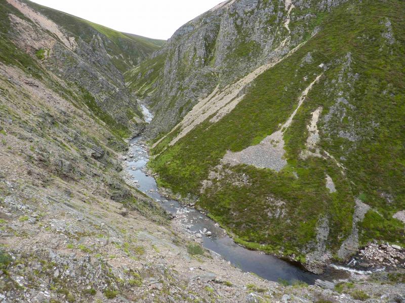
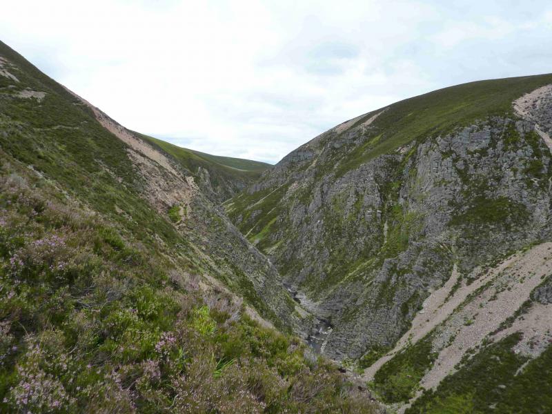
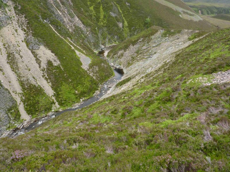
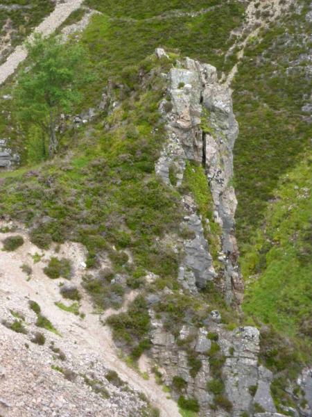
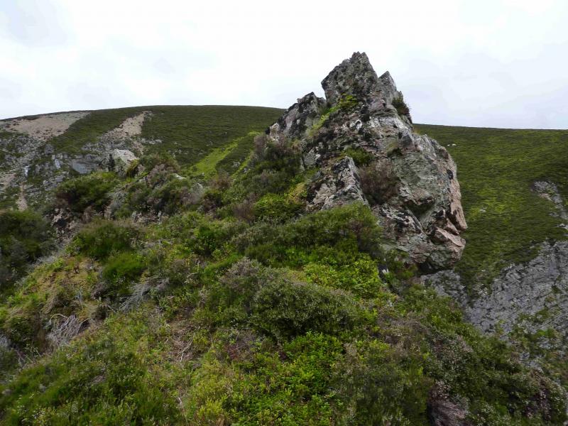
The Castle from Dorback
The Castle from Dorback
Start/Finish
End of public road just before entrance to Dorback Lodge where there is very limited parking on the verge. This road leaves the minor road from Nethy Bridge, to the A939 near Corriechullie, about 5 km from Nethy Bridge. The only helpful sign in Nethy Bridge is for the Lazy Duck Hostel which lies off the same minor road well before the Dorback turning. Do not park in the turning area at the end of the road.
Distance/Time
17 km Approx 5 - 6 hours
Peaks
None. The Castle is at approximately NO 122 107. OS sheet 36.
Introduction
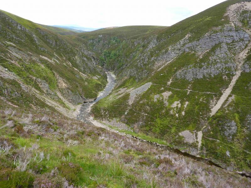
The Castle is a steep sided ravine on the Water of Caiplich which downstream becomes the Water of Ailnack before joining the River Avon at Delnabo just to the N of Tomintoul. On the western side there are some short ribs on one of which there is a pinnacle which may have given rise to the name. Once the track is left, the walking is on a faint path which roughly contours over to the feature. As one gets closer, more “paths” appear, some of which slope and have heather stems lying across them making for awkward walking especially in the wet. It takes about 2 hours each way but allow time to explore a bit. In a dry spell, it is not too difficult to drop down to the burn from the southern end of The Castle. In wet weather, the burn may be spectacular in spate.
Route
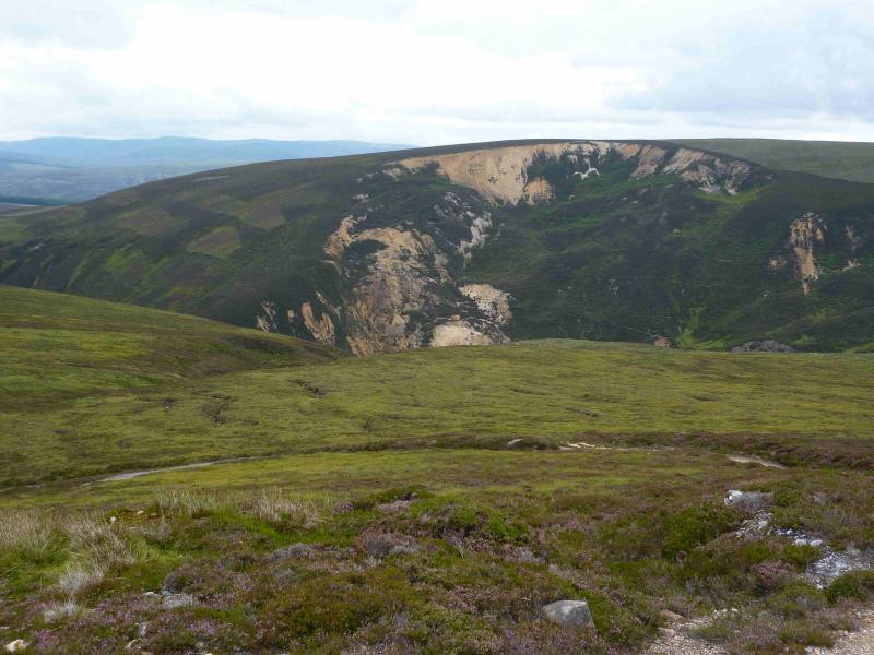
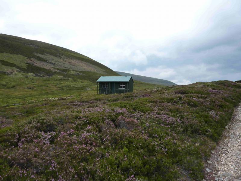
(1) From the end of the public road, continue forward on the obvious track. Soon pass the old lodge, now boarded up then pass the occupied kennels. Continue on the main track, ignoring all branches to soon be walking on the left of the Dorback Burn. Continue forward walking past Geal Charn on the right, W. The track goes further than shown on the map. Eventually, it passes a large green wooden shed shown on the map at NO 123 128. To the E, a large brown scar can be seen on the hill side. Continue on the track which now swings around to the west with a succession of bends as it climbs up Geal Charn Beag. When a straight section is reached with what looks like a cairn 50 m further on the left (it is actually the wall of a grouse butt), leave the track on the last bend and look for a faint path heading roughly S towards the castle. This path is not seen until the bank of the path is ascended; there was a small cairn here on 1/8/11. Follow the path, on mixed ground as it contours towards the castle. As one gets close to The Castle, parts of the path slope with heather stems across them. It is very easy to slip on these, especially in the wet. Numerous “paths”, probably animal tracks appear as one gets closer. It is relatively easy, heather permitting, to reach the southern end of The Castle at about NO 122 105 above the U bend in the burn.
(2) Return by the same route.
Notes
(a) This walk took place on 1st August, 2011.
(b) It is also possible to reach The Castle from the Queen's View car park in Tomintoul by cycling or walking up the good track/road by the River Avon, crossing the river to take the track to Wester Gauling and following the track to the NW side of Cnap Chaochan Aitinn (which could easily be ascended from here). From here, walk over Carn na Ruabraich but do not attempt a direct descent W into The Castle as it is almost vertical. Instead, head SW to the Water of Caiplich before it enters the ravine. This route has not been checked out.
Photos - Hover over photo for caption. Click on to enlarge. Click on again to reduce.