Get Lost Mountaineering
You are here: Scotland » 09 Glen Roy to the Monadh Liath and Strathspey » Glen Roy & Creag Meagaidh
Beinn a' Chaorainn & Beinn Teallach
Beinn a' Chaorainn & Beinn Teallach from Roughburn
Start/Finish
Roughburn which is less than 0.5 miles E of the Laggan Dam on the A86 Spean Bridge to Newtonmore Road. The Laggan Dam is about 6 miles E of Roy Bridge. Roughburn is essentially two holiday cottages which are labelled. Just after, the road crosses a river and immediately on the left is a gate with some rough parking. Do not obstruct the gate.
Distance/Time
15 km About 6 – 7 hours
Peaks
Beinn a' Chaorainn S Top, 1049 m, NN 386 845.
Beinn a' Chaorainn Central Top, 1049 m, NN 386 851.
Beinn a' Chaorainn N Top, 1043 m, NN 383 857.
Beinn Teallach, 915 m, NN 361 859. OS sheet 34.
Introduction
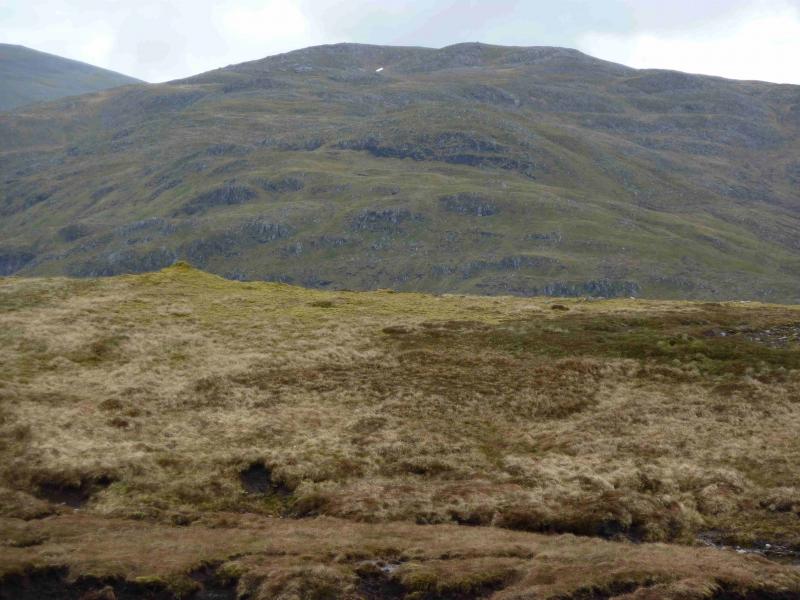
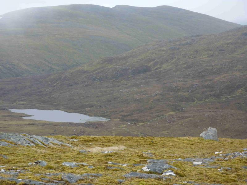
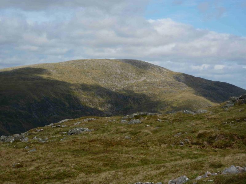
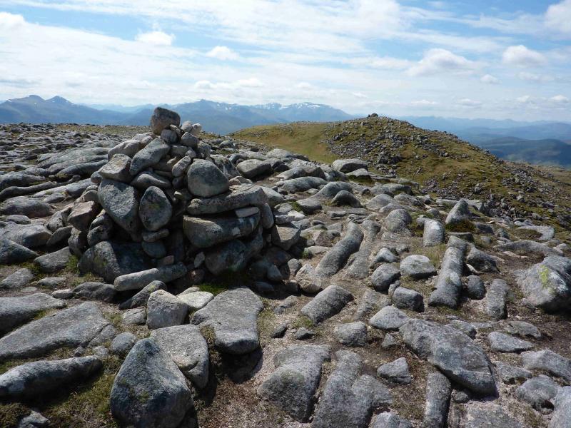
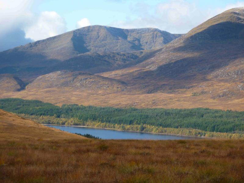
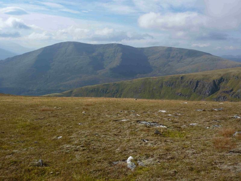
This walk gives good views of the Glen Roy Hills, Loch Lochy Munros and the mountains south east of Glen Spean including Beinn a' Chlachair, the Beinn Eibhinn range, Chno Dearg range and the Easians but the closest views are of Creag Meagaidh just to the east. Surprisingly for a Munro, much of the route is pathless although on reasonably good terrain. Navigation will need care in mist especially on Beinn a' Chaorainn which has steep sides to its E. Although the OS gives two tops on Beinn a' Chaorainn the same height, the SMC has designated the Central top as the highest from “observation on the ground” and this seems to be correct. It should be noted that the SMC description of the ascent of Beinn a' Chaorainn in the 2006 Munros guidebook is now incorrect. The firebreak referred to no longer exists as the trees have engulfed it.
Route
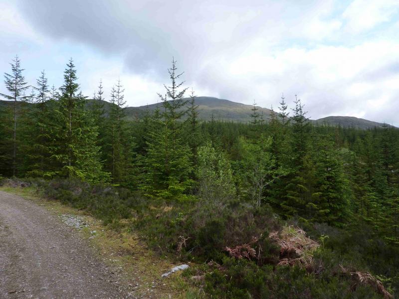
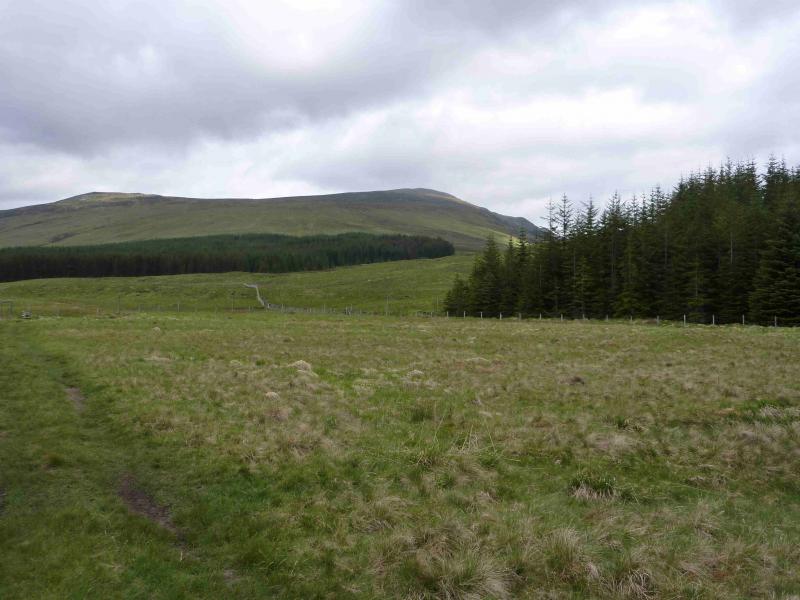
(1) Walk up the track from Roughburn. When it meets another track, go left and walk to the edge of the forest. There is now no firebreak to go through as in SMC guide. Once on the edge of the forest, go N then NE and ascend the easy grassy slopes of Meall Clachaig. There is a faint path here and there. If in doubt, keep on the left of the crest. Continue over a flatter section then climb NE up easy grassy/stony slopes, with only a faint path, to reach the medium cairn of Beinn a' Chaorainn, S Top, 1049 m.
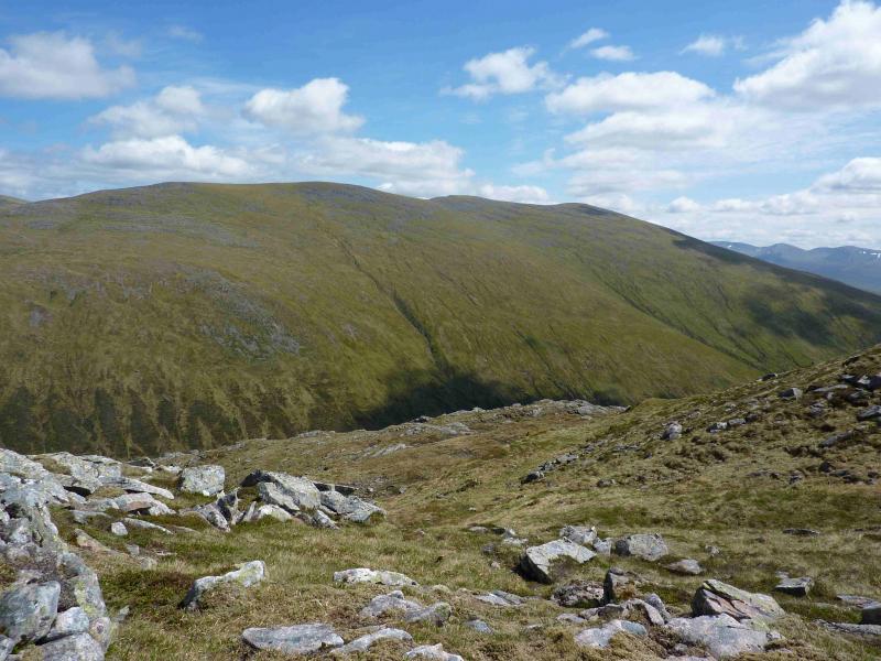
(2) Descend N down easy slopes with a steep drop on the right, E, then ascend easily to the medium cairn of Beinn a' Chaorainn, Central Top, 1049 m, which is the official summit.
(3) Descend N down easy slopes with a steep drop on the right, E, then ascend easily to the small cairn of Beinn a' Chaorainn, N Top, 1043 m.
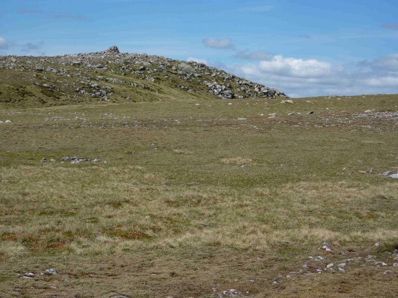
(4) From the cairn, descend easy grassy/stony slopes N then W to reach the wide bealach where there is a small cairn which is shown on the map at NN 371 868. Ascend due W from here to reach the crest of the N ridge of Beinn Teallach and follow this up, on a reasonably distinct path, to reach a medium cairn which is not the summit. The true summit lies about 100 m further across a shallow dip to the W and there is a large cairn which marks the summit of Beinn Teallach, 915 m.
(5) Descend S, initially past a shelter cairn, aiming for the corner of the forest above the Allt a' Chaorainn. There is a faint path here and there. Lower down, the rough track in the glen is joined which can be followed back into the forest and back to Roughburn. The Allt a' Chaorainn has to be crossed and this is normally straightforward but in wet conditions, it may be necessary to adjust the descent route so that it may be crossed higher up the glen.
Notes
(a) This walk took place on 26th July, 1994, 30th July, 2001 and 1st June, 2012.
(b) A pleasant alternative to retracing the outward forest track to Roughburn is to follow the way mark posts (green tops) which start at the entrance to the forest and follow the burn back to the road. This path would be boggy in wet weather. About 50 m into the forest, the path splits. The right fork, back to the burn is the correct route. The left fork is exceptionally boggy. The way mark posts go all the way to the road and are about 100 m apart.
Photos - Hover over photo for caption. Click on to enlarge. Click on again to reduce.