Get Lost Mountaineering
You are here: Scotland » 09 Glen Roy to the Monadh Liath and Strathspey » Monadhliath & Corrieyairack
Carn a' Chuilinn
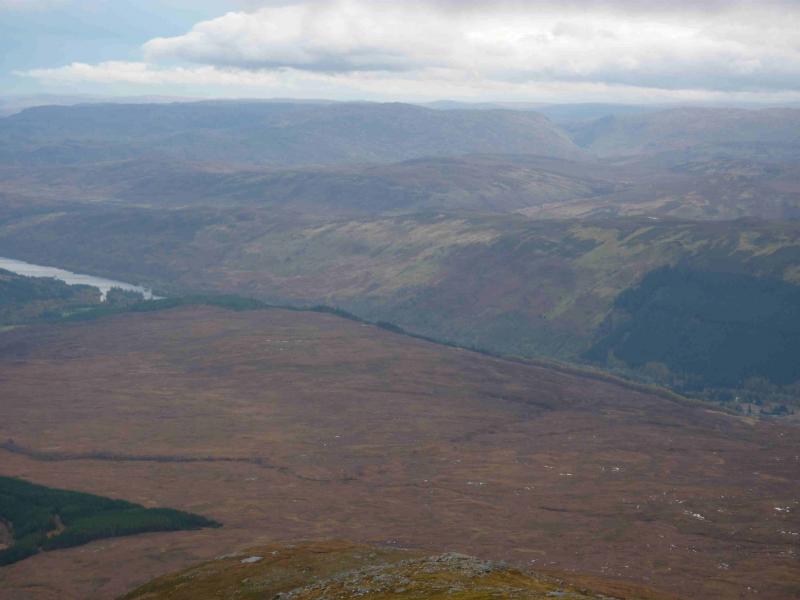
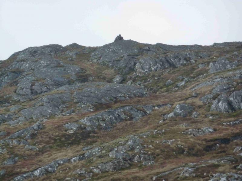
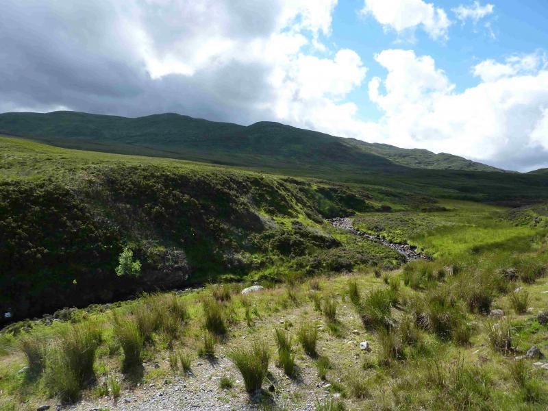
Carn a' Chuilinn from the B862 east of Fort Augustus
Start/Finish
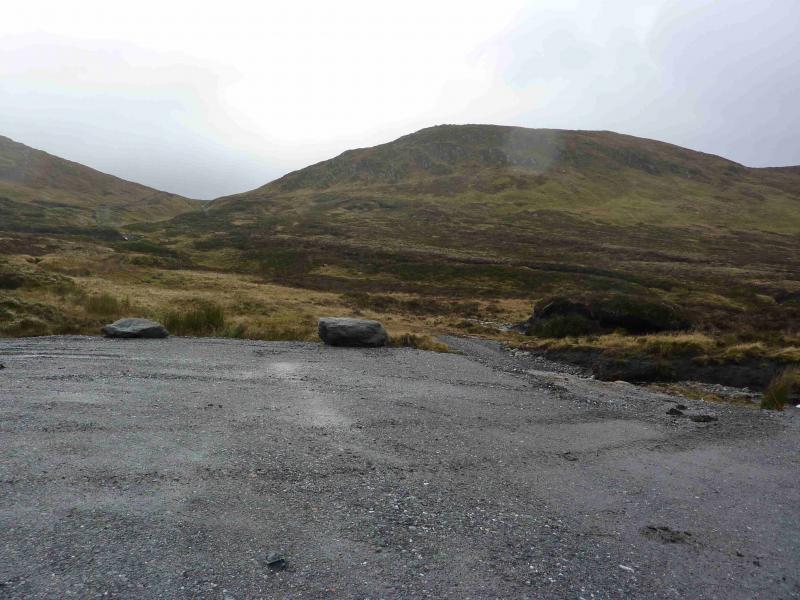
2.2 miles up the B862 (Foyers Road) from Fort Augustus is a cattle grid. Park as close to this as possible. There is a small layby (for one car only) about 100 m back towards Fort Augustus.
Distance/Time
20 km Approx 6 hours
Peaks
Carn a' Chuilinn, 816 m, NH 416 033. OS sheet 34.
Introduction
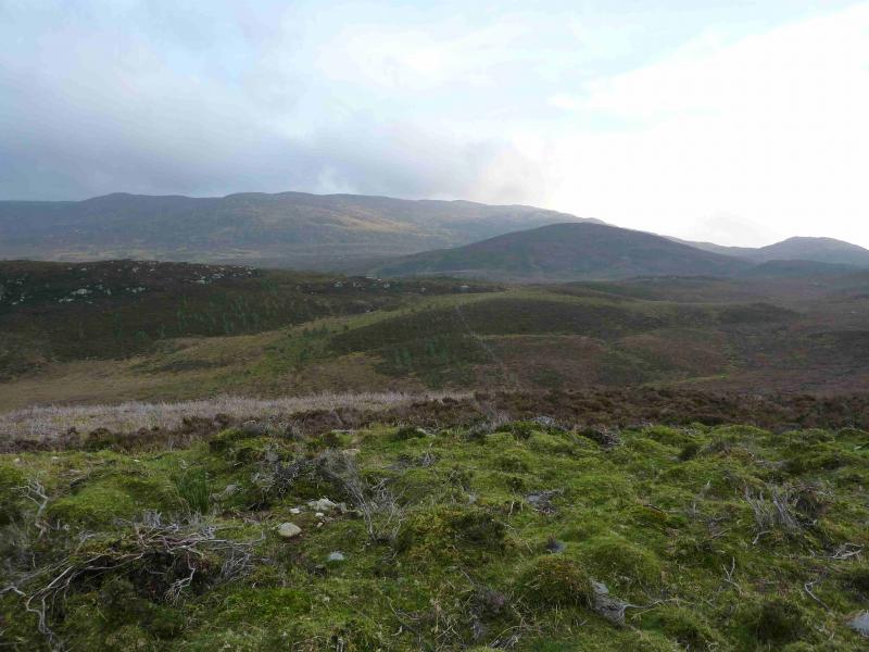
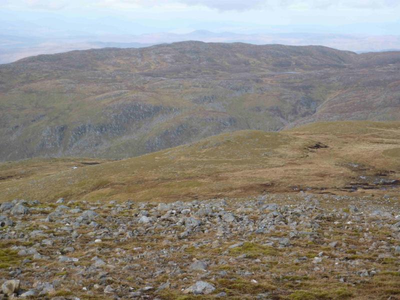
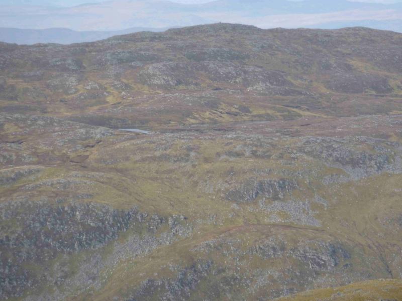
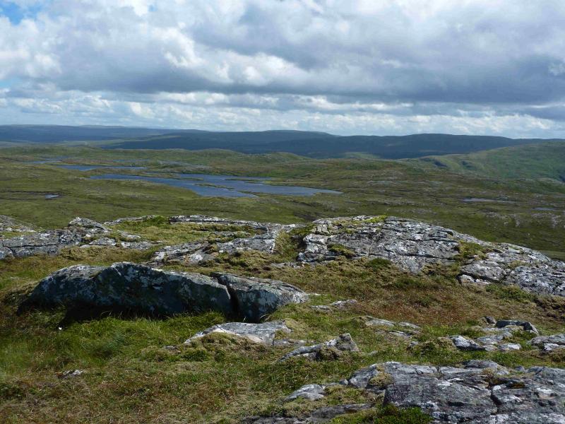
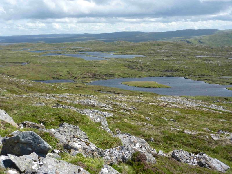
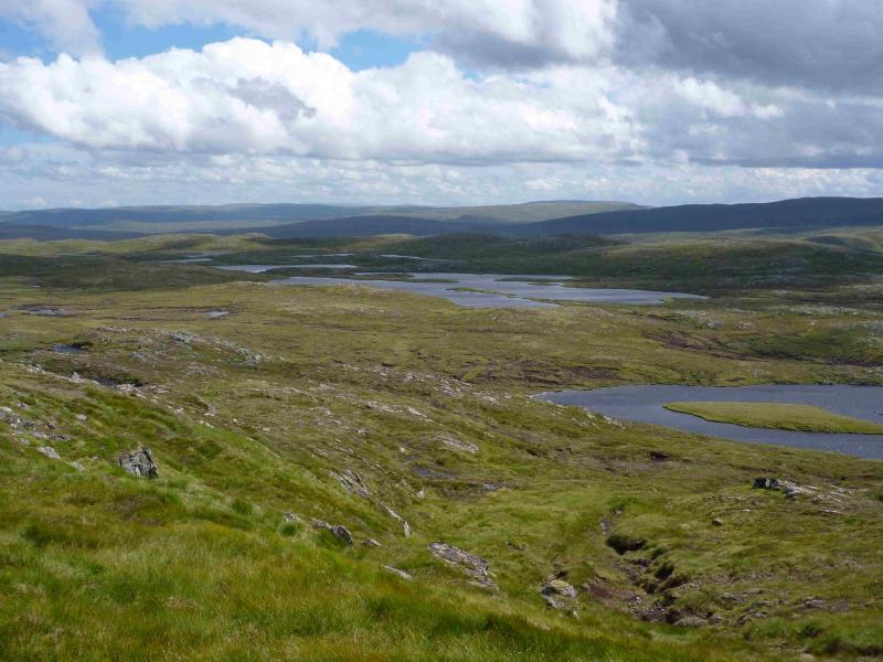
This route gives mixed walking, from good tracks/roads to rough moorland. In good weather, there are fine views to Loch Ness, Ben Tee, Corrieyairack Hill and other moorland hills. To the east of the summit is a multitude of lochans. On 24/10/11, major construction work was in progress regarding a hydro-electric scheme. Access is not allowed through the main compound near the road and is discouraged, but seemingly tolerated, on the main access track to the hill. Once construction is finished, it might be possible to cycle in from the B862 for some considerable distance if the Glendoe estate allow it. The area around this hill is stalked from mid-August to about the 20th October (excluding Sundays).
Route
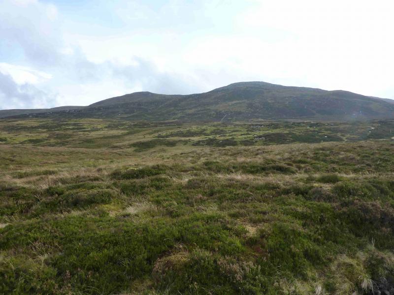
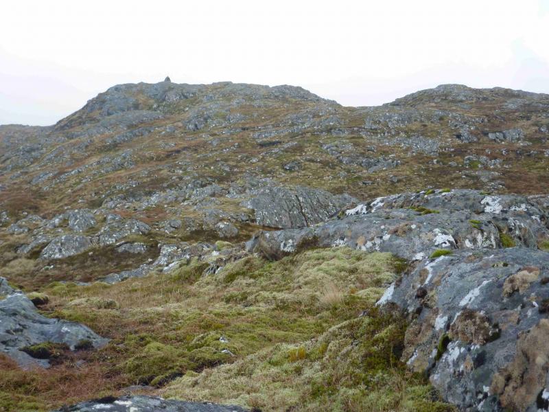
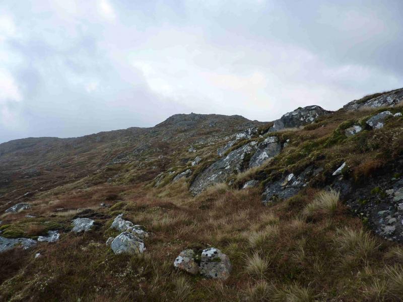
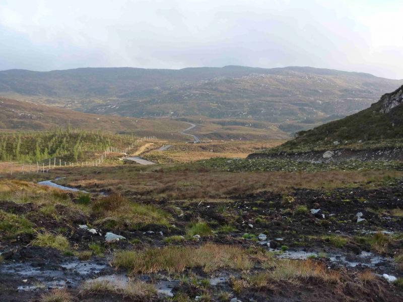
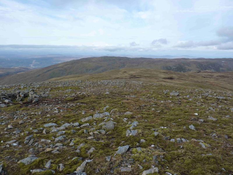
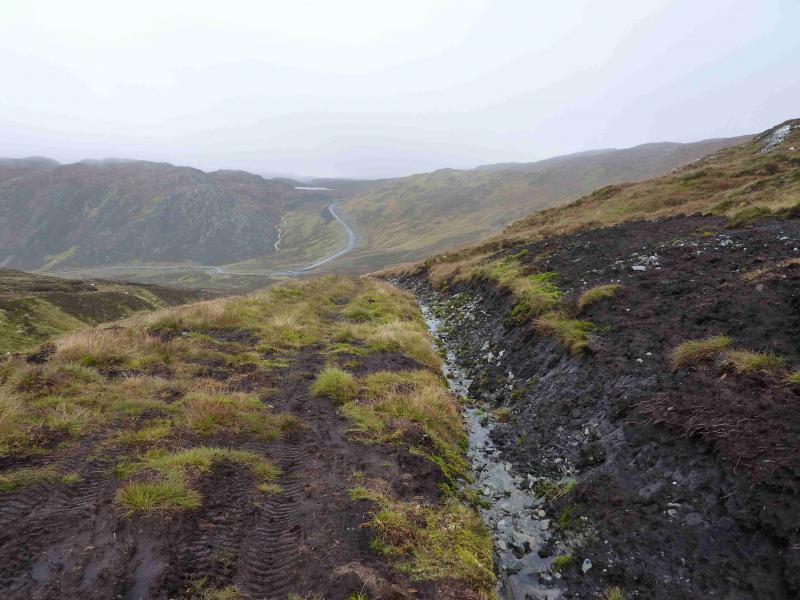
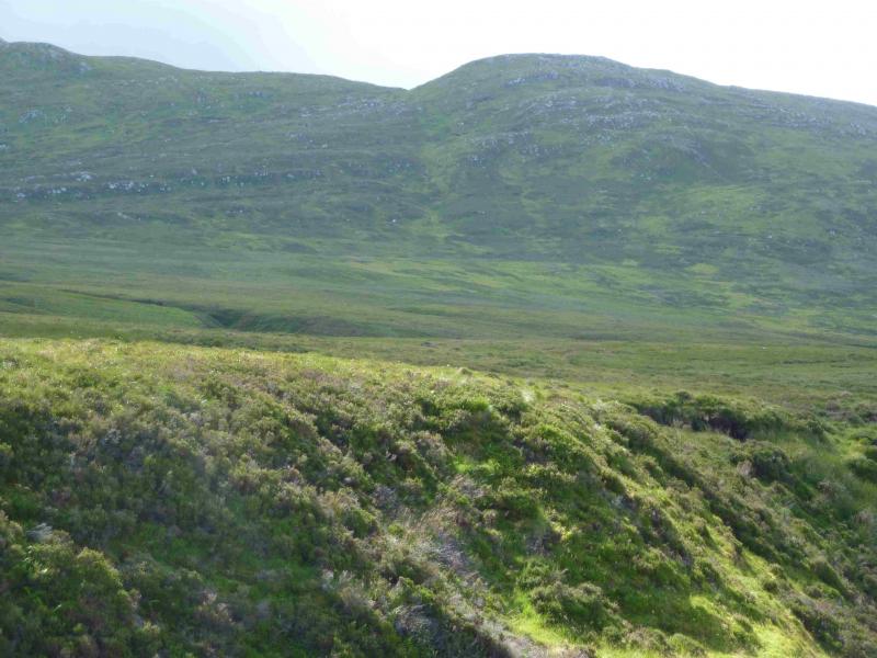
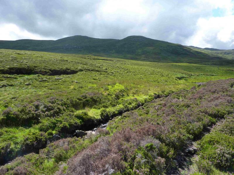
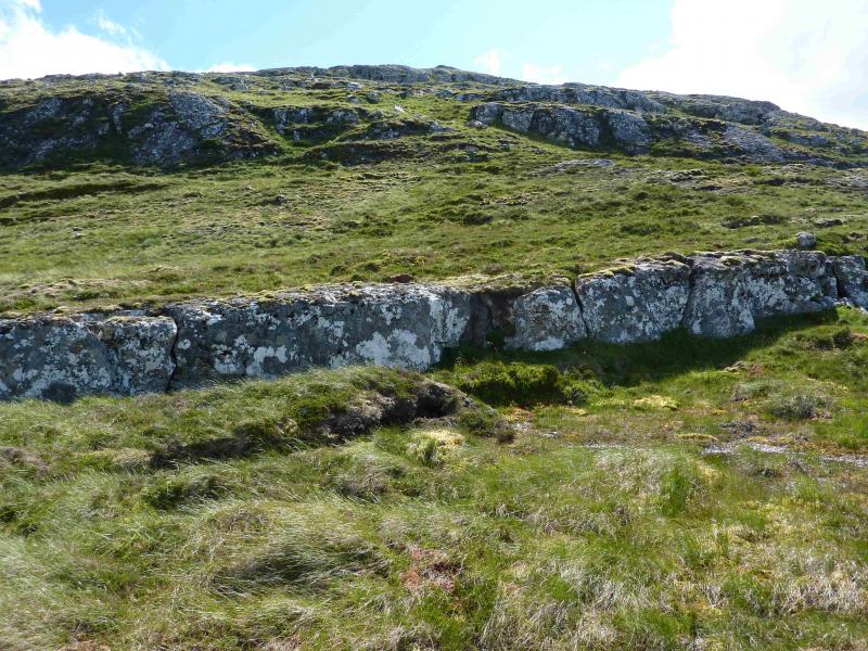
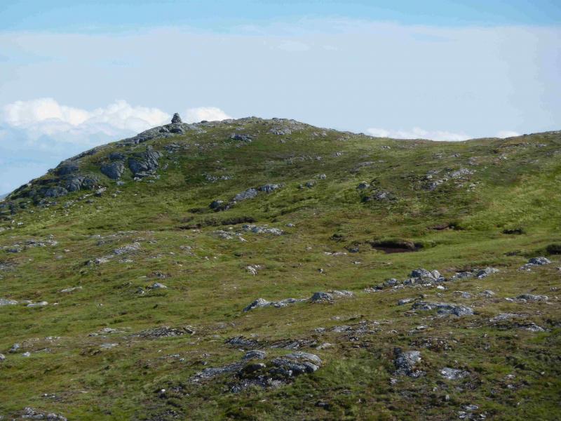
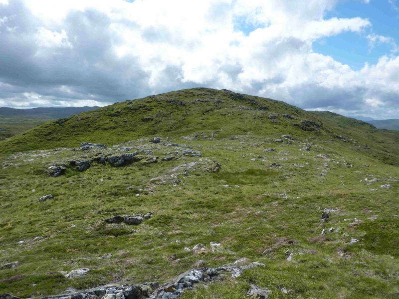
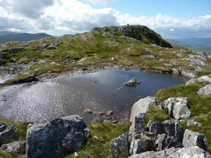
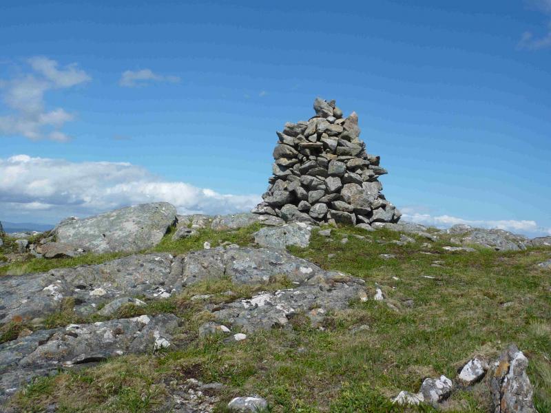
(1) Just above the cattle grid, is a small, makeshift “gate”. Go through this. Turn left for about 10 m then follow a grassy route running parallel to a fence on the right. Further along, the route improves and is easier to walk. Soon a small wood is reached with a burn before it. Do not cross the burn here – its banks are steep. Instead, walk upstream, following the edge of the wood to its end then cross more easily. The main track should now be visible with a fence barring the way. There is no need to negotiate the fence, just follow it for about 50 m to its end and walk on to the track. Turn left and follow the track to reach a small lochan which has a low earth dam (not very obvious) at its N end. Soon after, the track swings left then right again and heads roughly S for about 2 km before crossing a bridge and swinging ESE. Just over a km along this section, a good track forks off to the right – this will be used in descent. A little further there is a green hut. At the bridge referred to above, do not cross, but go right and follow a stalker's path on the W bank of the burn. There is also a muddy track further to the right initially. After about a km, the path deteriorates but can still be followed alongside the burn. The cairn well visible on the walk in is not the summit which is almost at the SW end of the summit ridge. At any suitable point, strike off, roughly S, over rough moorland, aiming for the crest of Carn a' Chuilinn. Higher up, the going improves. Once on the crest, a faint path leads SW over undulating ground to reach the tall cairn which marks the summit of Carn a' Chuilinn, 816 m.
(2) Continue SW along the ridge to the next top then descend an ill-defined ridge, roughly WNW, to reach a good wide track. Turn right on to this and follow it, with some undulations, back to the main track then retrace the outward route to the start.
Notes
(a) This walk took place on 31st July, 2001, 24th October, 2011, and 2nd August, 2013.
(b) It is possible to use the descent track for the ascent as well leaving it to ascend the ill-defined NW ridge or going further, and higher, until one has a shorter climb to the summit.
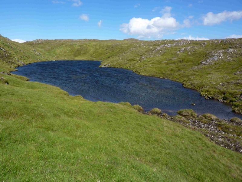
(c) An alternative and easier route to the summit uses the hydro construction track. Go past the turn off for the stalker's path and continue for about another 2.5 km to a sharp left hand bend at about NH 436 052. To the right of this bend is a large “car park” from which a rough ATV track runs approximately SW up the e side of the burn. This track is very boggy in places but the boggy sections are easily avoided. When the track levels off, stay with it until it swings left then ascend easy grassy slopes on the right to gain the crest of Carn a' Chuillin. Follow the crest roughly SSW, with some undulation. There is a faint path along some of the crest which leads to the distinctive summit cairn. The lochans shown on the map which lie E of the crest can be a very useful guide in mist. One can return the same way or use one of the routes described above.
Photos - Hover over photo for caption. Click on to enlarge. Click on again to reduce.