Get Lost Mountaineering
You are here: Scotland » 09 Glen Roy to the Monadh Liath and Strathspey » Aviemore to Inverness
Carn na h-Easgain
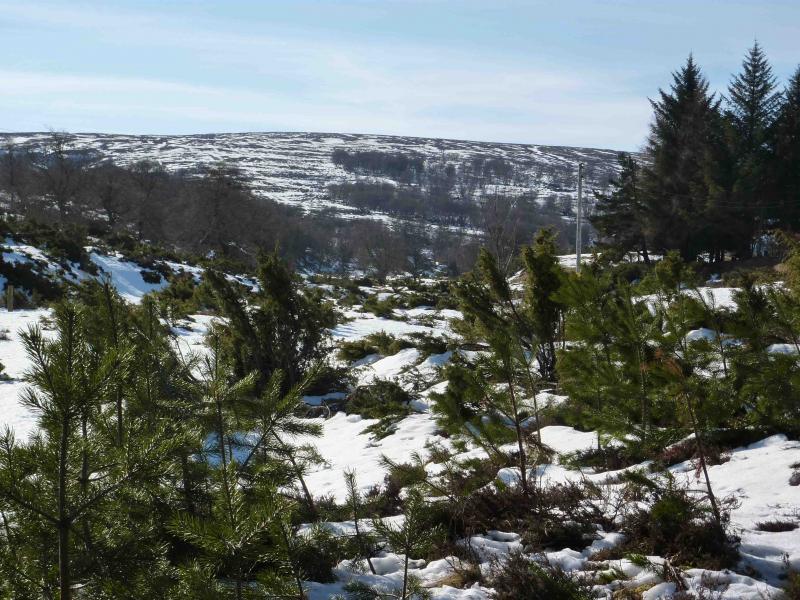
Carn na h-Easgain from Dalmagarry viaduct.
Start/Finish
Layby at the viaduct opposite Dalmagarry on A9 about 3 km N of Tomatin at NN 787 321. Drive N up the A9 from Aviemore. About 3 km past Tomatin, look for the “hidden” lay by on the left, just after the right turn to Ruthven, next to a viaduct almost opposite Dalmagarry and about 2 km before Loch Moy. There is another viaduct, more visible from the road about 30 m past this lay by.
Distance/Time
13 km Approx 3½ hours
Peaks
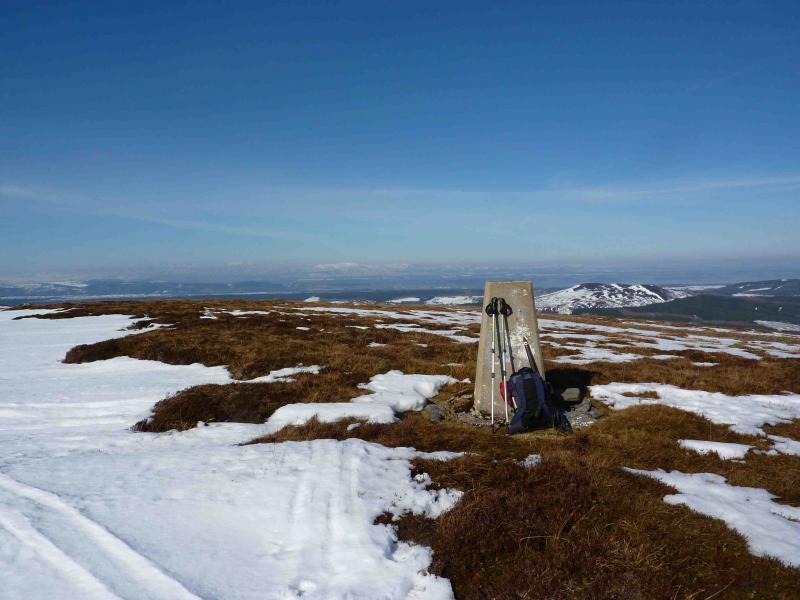
Carn na h-Easgain, 618 m, NH 744 320. OS sheet 27.
Introduction
This is a very easy walk to navigate as there is a good track all of the way to this Graham. In fine weather, there are good views of the Moray Firth, Cromarty Firth, Ben Wyvis and beyond. You could safely practice your night navigation here!
Route
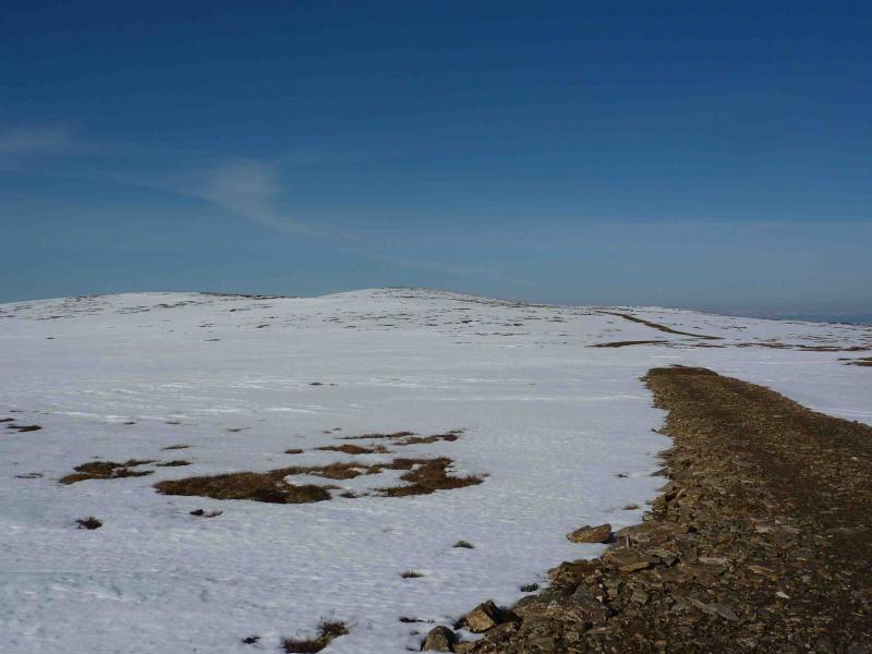
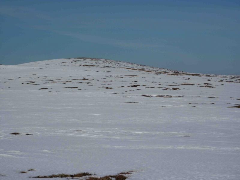
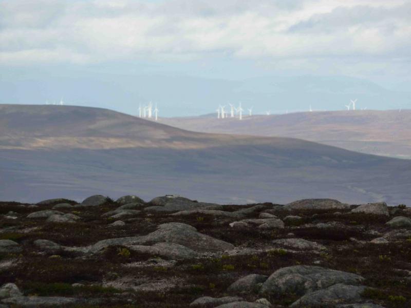
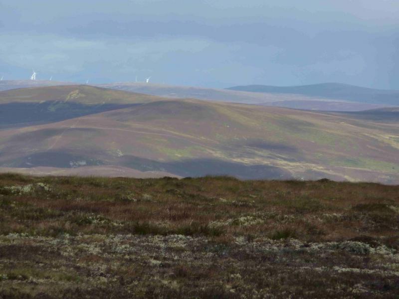
(1) Follow the track that goes through the arch of the viaduct. Go right at the first fork. The track then follows the S bank of the Allt a’ Chuill. After about 2 km, the track climbs a narrow grassy ridge between 2 tree lined burns to reach a large wooden shed (not shown on map). The track then continues further than shown on the map towards a high point before which there is an equally good track (not shown on the map) which branches off to the right (NW) and should be followed almost to the summit. A wind farm has been built below this track on its SW side. The track goes across the E flank of Carn na h-Easgain. When a track (not shown on the map) joins from the NE, go left over a little culvet for about 10 m to the summit trig point of Carn na h-Easgain, 618 m. Looking NE across Loch Moy with the plantation behind it, you can see the almost flat summit plateau of Carn nan Tri-tighearnan.
(2) Return by same route or take the track which branches NE at the summit and follow it down to Lynemore and the white cottages visible for most of the descent. The track becomes a road at the cottages and joins the A9 from where it is about a 40 minutes walk back to the start. There is a cycle track on the E side of the road
Notes
(a) This walk took place on 6th November, 2009 and 8th March, 2010.
Photos - Hover over photo for caption. Click on to enlarge. Click on again to reduce.