Get Lost Mountaineering
You are here: Scotland » 09 Glen Roy to the Monadh Liath and Strathspey » Monadhliath & Corrieyairack
Carn na Saobhaidhe
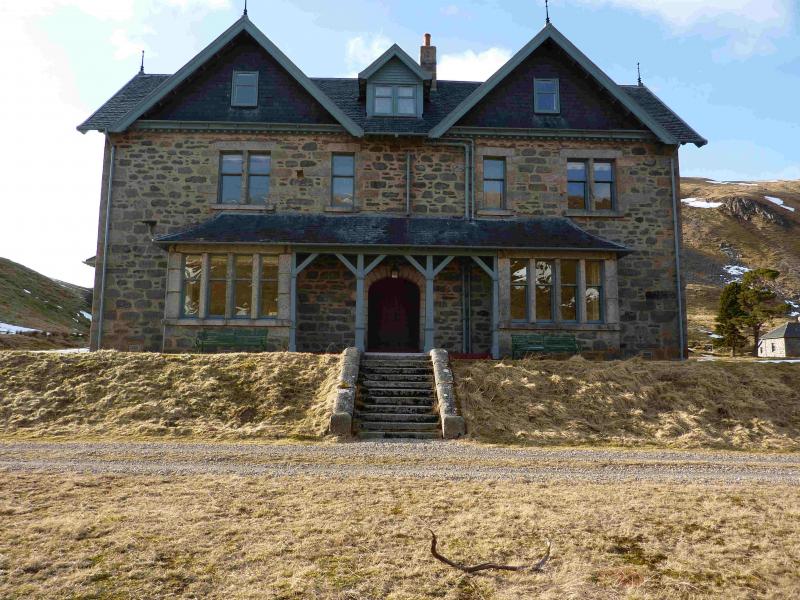
Carn na Saobhaidhe from Coignafern Old Lodge
Start/Finish
Car park on the leftjust before Coignafern Old Lodge. This is reached from the S by turning left off the A 9 just after Sloched summit and following the minor road (old A9) across the Findhorn Bridge then turning left (signposted Coignafern 10). Follow this narrow road down the lovely Strath Dearn to the car park. If coming from the N, turn off at Tomatin and follow the old A9 past the distillery and through the village to the Coignafern turning.
Distance/Time
27 km Approx 8 hours (longer under snow)
Peaks
Carn na Saobhaidhe, 811 m, NH 600 145. OS sheet 35.
Introduction
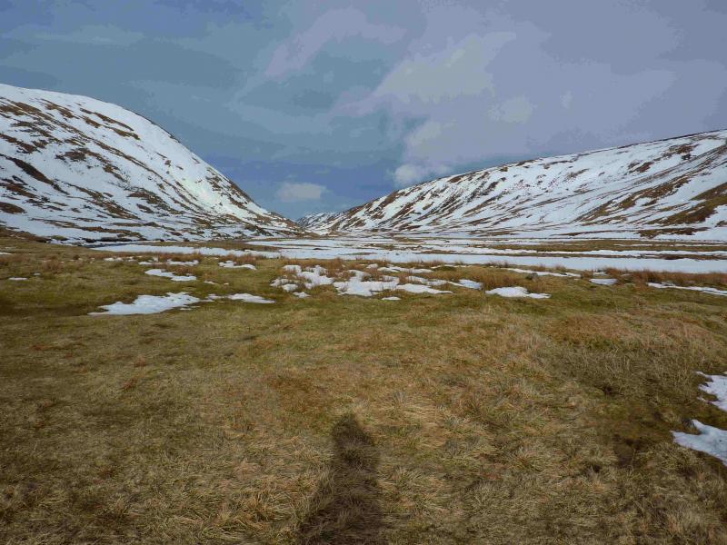
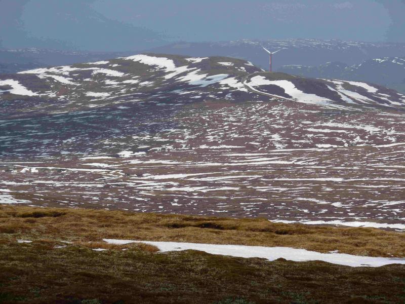
In clear weather this is a very easy walk to navigate as there is a good track most of the way to this Corbett. The views are not spectacular but, on a clear day, the Monadliath Munros, Cairngorms and Glen Affric Hills are visible in the distance. The hill itself is just the largest mound amongst many others and would be difficult to find in mist. The walk up Strathdearn, along side the River Findhorn is lovely. This is an unspoilt glacial glen with steep sides. A bicycle could be used as far as Dalbeg but the track is bumpy with gravel in places. In winter, access to this hill can be made difficult, if not impossible, by very deep snow drifts.
Route
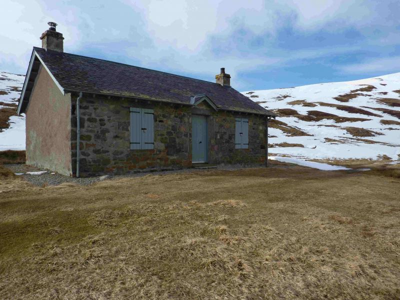
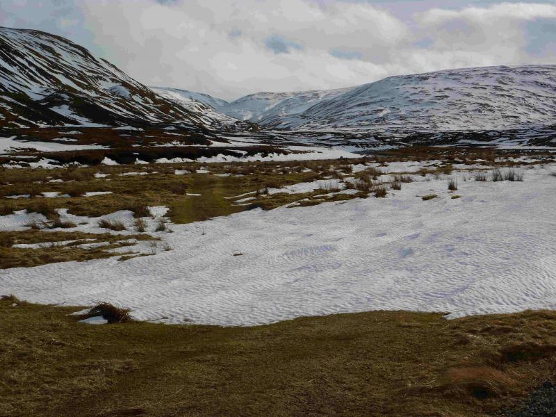
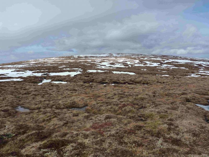
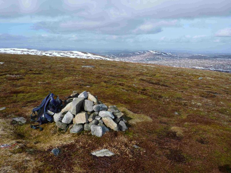
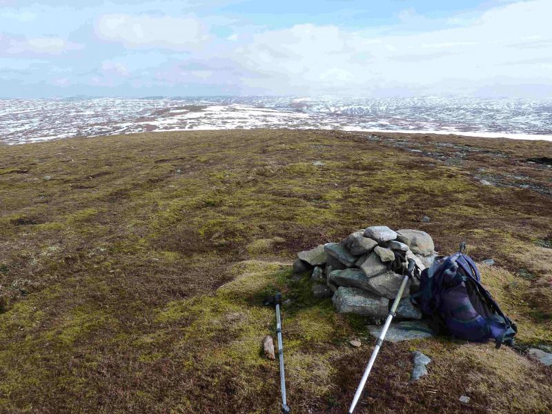
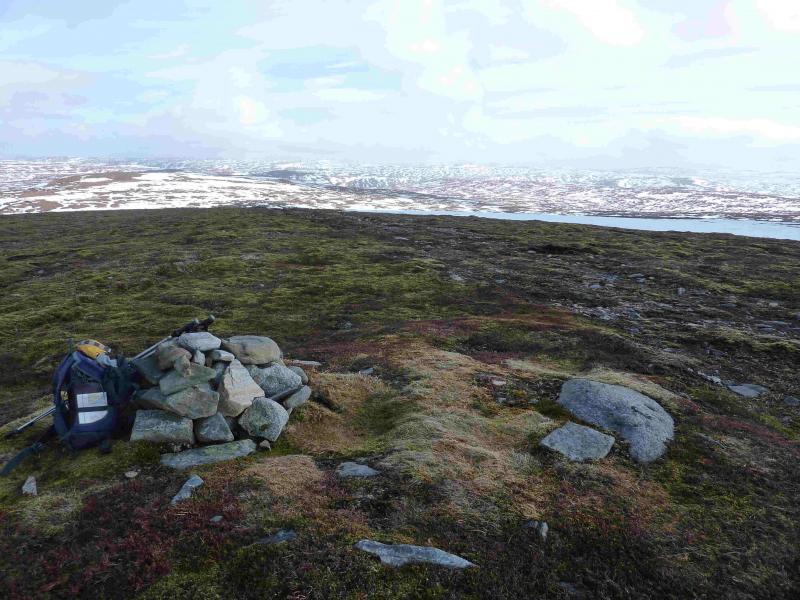
(1) From the car park, continue on the track up the glen past the other Coignafern Lodge to reach the lonely, but still used, cottage at Dalbeg after about 7 km. Continue past the cottage, for about 200 m, to reach the bridge across the Allt Creagach, a tributary of the Findhorn. Do not cross the bridge but continue up the track on its N bank. After about 2 km, the burn divides. Cross the bridge just after the confluence and follow the good track on the N bank of the Allt Odhar. After about 1 km, this track becomes grassy then peters out. From about this point, Carn na Saobhaidhe can be seen to the NW with a prominent grassy shoulder/ridge to its S. Either strike directly up gentle but wet, tussocky and peaty slopes or continue W along the Allt Odhar to the bealach above its source then strike N uphill on gentle but wet, tussocky and peaty slopes. The summit area is flat, wet and grassy with a small cairn on its NE side which is probably the summit of Carn na Saobhaidhe, 811 m, but it is very hard to judge where exactly the highest point is. A line of old fence posts runs roughly S – N about 200 m W of the cairn and these might aid navigation from the S bealach above the source of the Allt Odhar. The cairn is at the spot height shown on the 1982 map and sits almost on a new track (easily obliterated by snow) which may be a continuation of one which comes from Dunmaglass to the N.
(2) Return by same route.
Notes
(a) This walk took place on 4th May, 2002 and 22nd March, 2011.
Photos - Hover over photo for caption. Click on to enlarge. Click on again to reduce.