Get Lost Mountaineering
You are here: Scotland » 09 Glen Roy to the Monadh Liath and Strathspey » Glen Roy & Creag Meagaidh
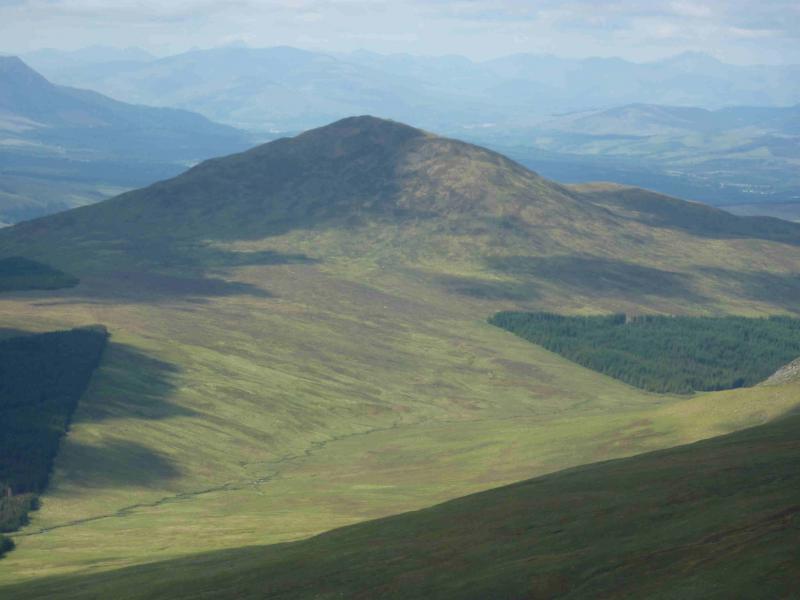
Creag Dubh, East of Glen Roy
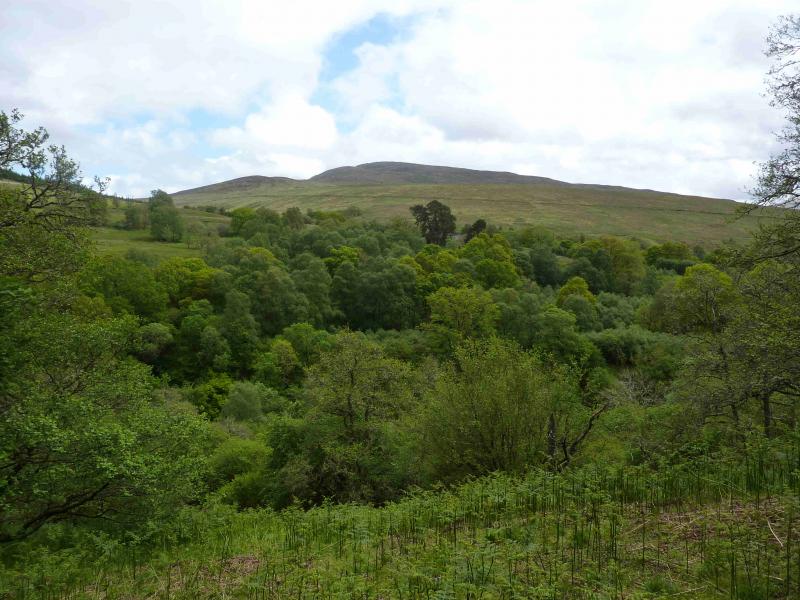
Creag Dubh from Bohenie (E side of Glen Roy)
Start/Finish
Bohenie at the end of the minor road N from Roy Bridge at NN 322 824.
Distance/Time
7 km Approx 5 hours
Peaks
Creag Dubh, 658 m, NN 322 824. OS sheet 34.
Introduction
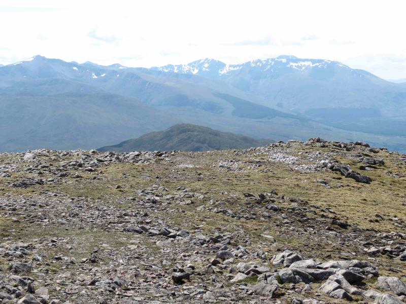
On a clear day, this is an excellent view point for the Grey Corries range and hills to their E. Parking is very limited at Bohenie which is about 2½ km from Roy Bridge. It may be necessary to park further back up the road or even in Roy Bridge and walk or cycle to Bohenie.
Route
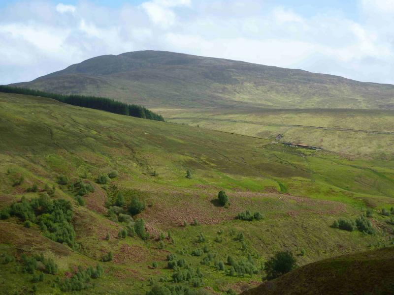
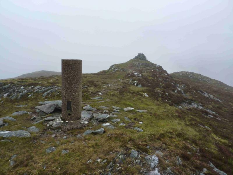
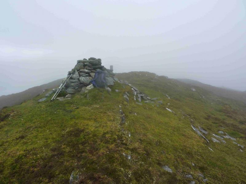
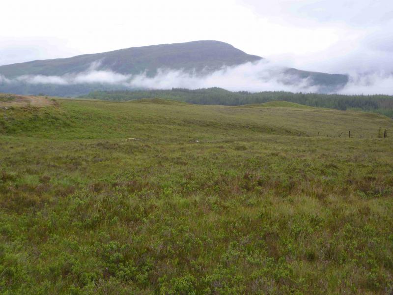
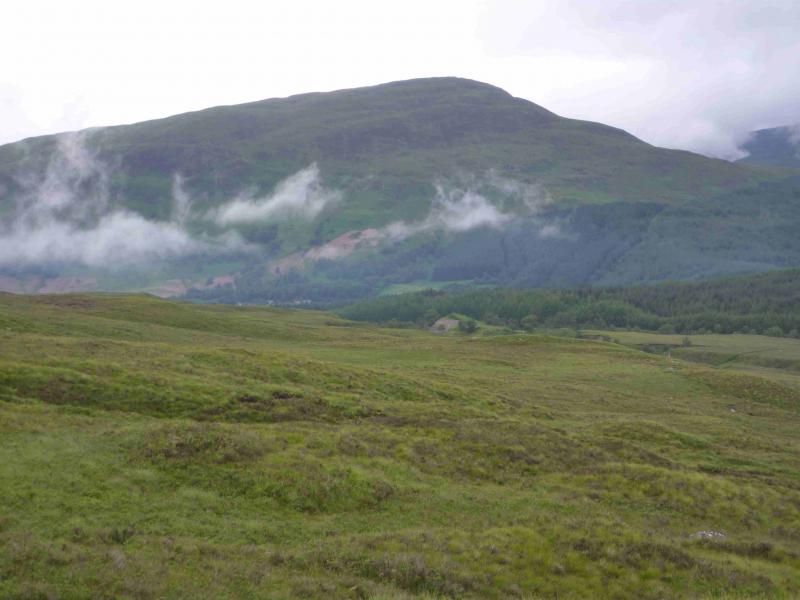
(1) Cross to the N side of the bridge at the end of the tarmac road and follow a faint path, into a wood, up the left (N) bank of the stream which is soon crossed by a “stone slab bridge”. Continue up on the S bank, close to the fence, to the edge of the forest. Do not cross the stile as the next one is broken. Instead go through a gate (care, electric fence). There is a faint path which initially follows a fence uphill but the going can be boggy. After about 1 km, a better path is reached which contours around lower SW slopes of Creag Dubh. This can be followed to a gate in a fence. Beyond this is an ATV track which winds uphill before petering out at the head of a burn, with a low peaty bank to its E, in a gentle sloping hollow grassy area W of the summit. Head roughly E, with the odd faint path here and there to reach the summit trig point and the medium cairn which is the summit of Creag Dubh, 658 m.
(2) Return by the same route taking care to locate the ATV track. In mist, this can be difficult to locate as there are several similar hollows but it is the first “deep” hollow after at least two (depending on route) shallow ones. The lie of the land can easily lead one too far to the S towards Glen Spean. Try to avoid the flattish area just above the forest, around NN 302 825 as it is very slow going with overgrown heather and deep watery holes.
Notes
(a) This walk took place on 21st September, 2009 and 1st June, 2011.
Photos - Hover over photo for caption. Click on to enlarge. Click on again to reduce.