Get Lost Mountaineering
You are here: Scotland » 09 Glen Roy to the Monadh Liath and Strathspey » Monadhliath & Corrieyairack
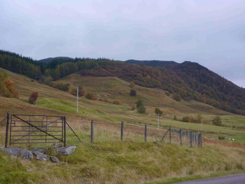
Creag Ruadh, Laggan
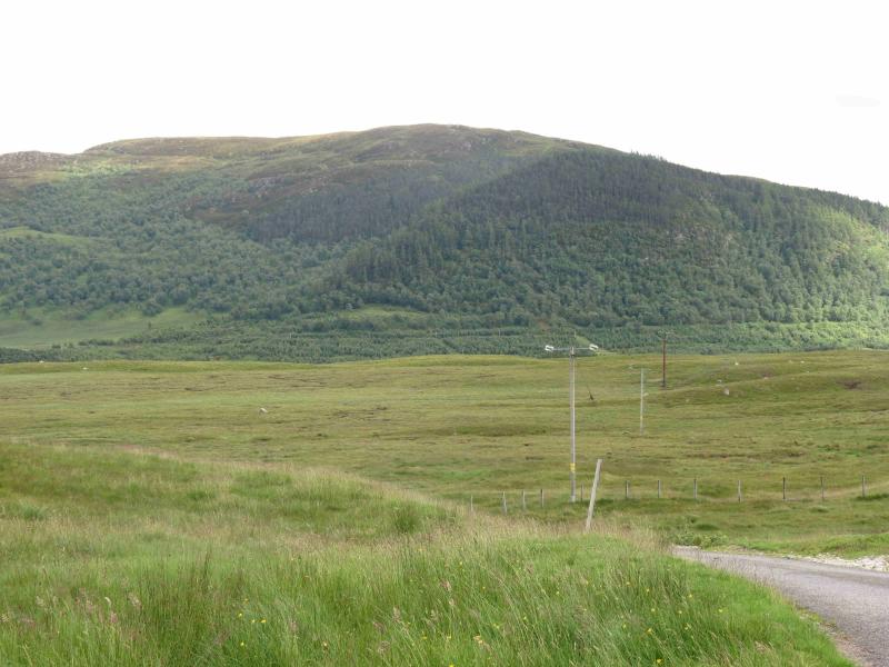
Creag Ruadh, Laggan from near Sherrabeg
Start/Finish
On the S side of the unnamed loch E of the Spey Dam which is about 3 miles down the Garva Bridge road runs east from Laggan Bridge on the A86 Spean Bridge to Newtonmore road. Parking is on the good grassy verge just before the bridge before Sherrabeg which is the only house on the S side of this loch. Please do not park in passing places. There is additional verge parking further back east if needed.
Distance/Time
6 km About 3 hours
Peaks
Creag Ruadh, 622 m, NN 558 914. OS sheet 35.
Introduction
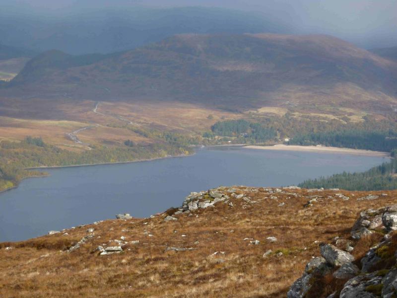
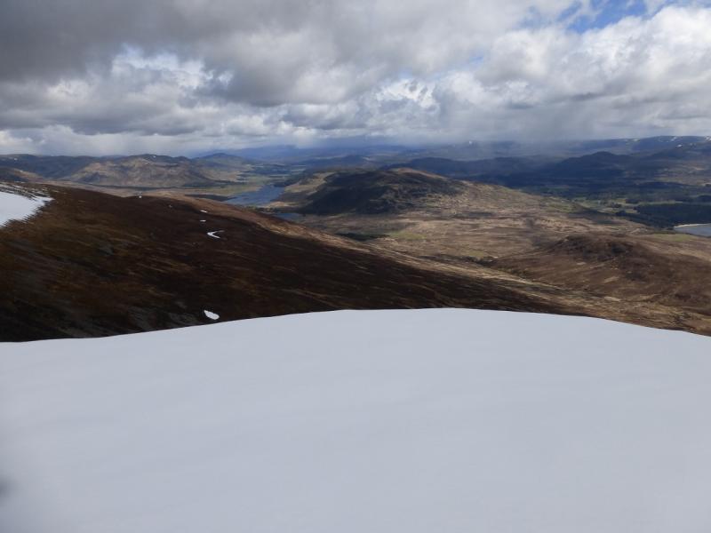
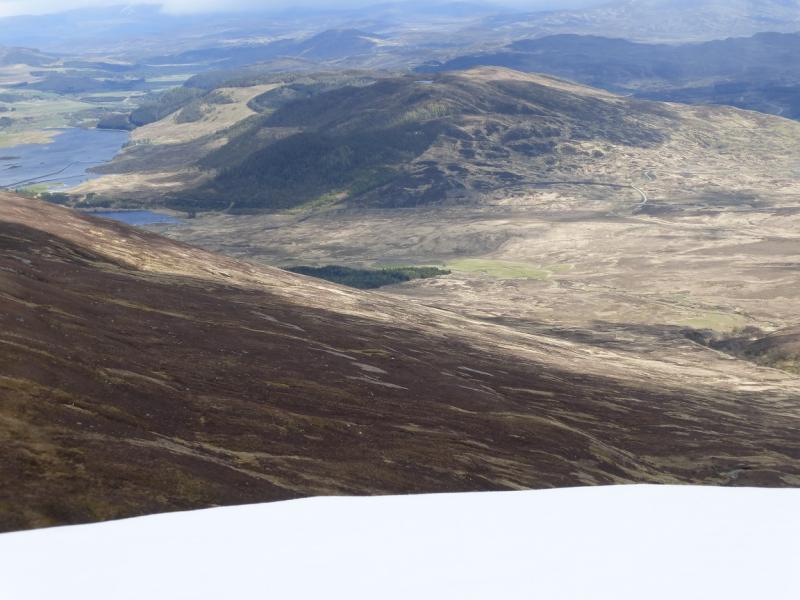
This is a moorland hill which sits between the A86 Newtonmore to Spena Bridge road and the Laggan to Garva Bridge road. Despite its modest height, it is an excellent viewpoint for the surrounding hills including Creag Meagaidh, Geal Charn, Meall nan Eagan, The Fara and the hills around Loch Laggan. This makes it worth saving for a good, clear day. In mist, the route is still easy to follow using old fence posts. Note that two high (2 m) and locked deer gates and a deer fence have to be climbed over.
Route
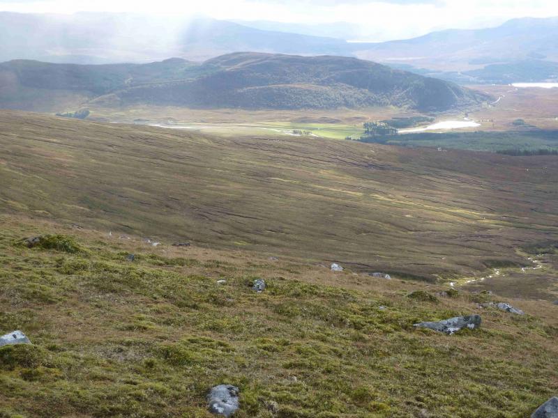
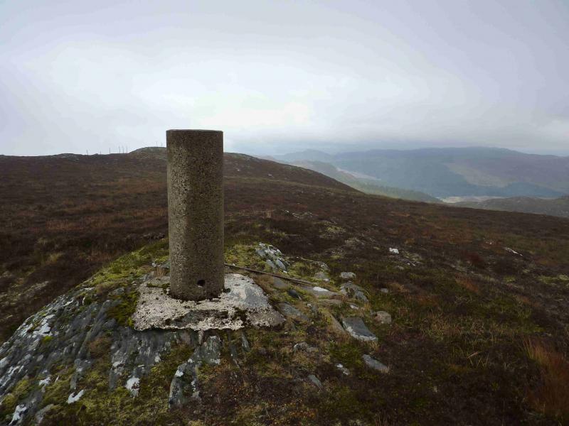
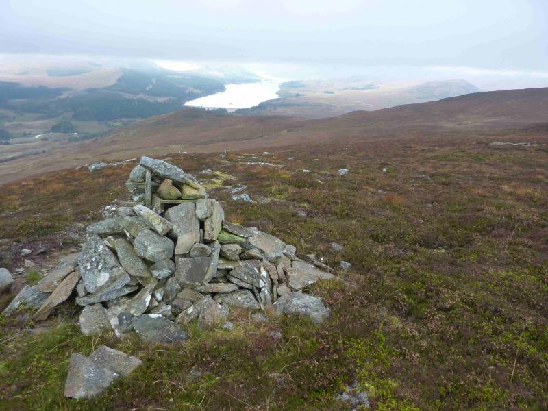
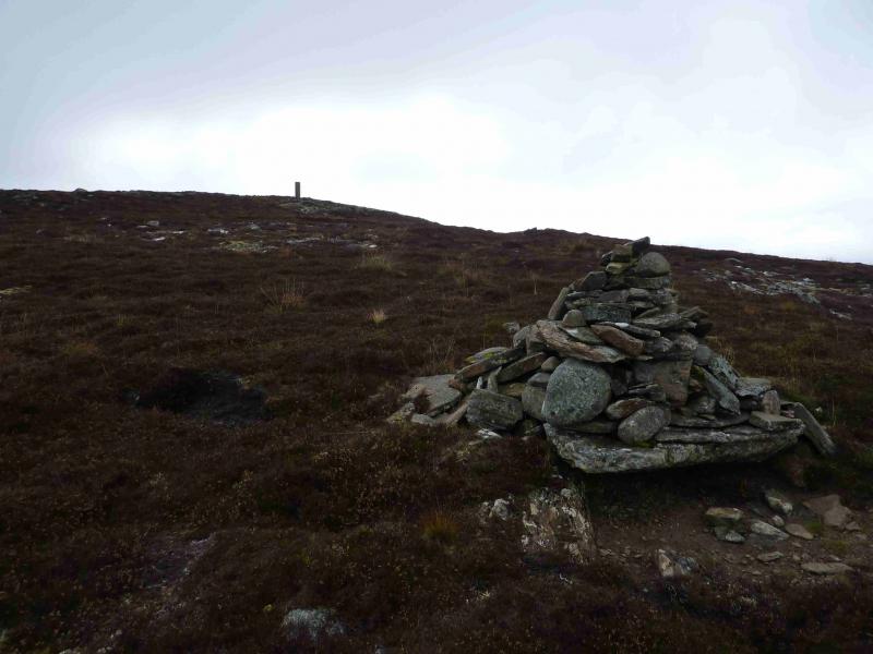
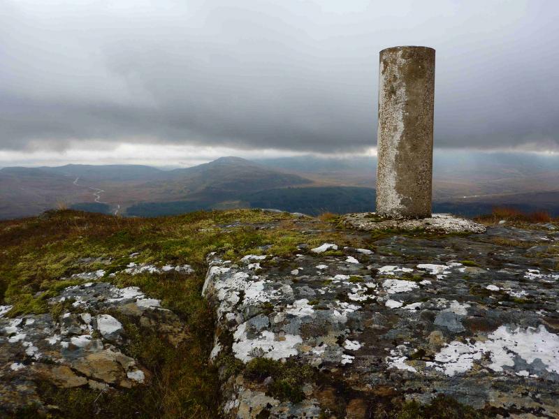
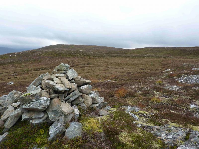
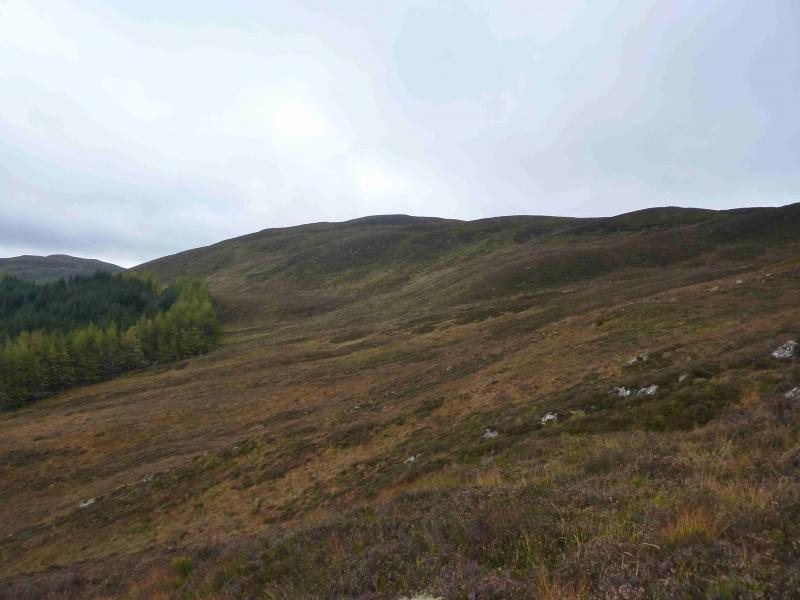
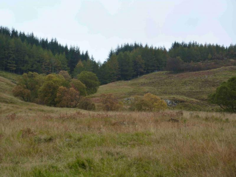
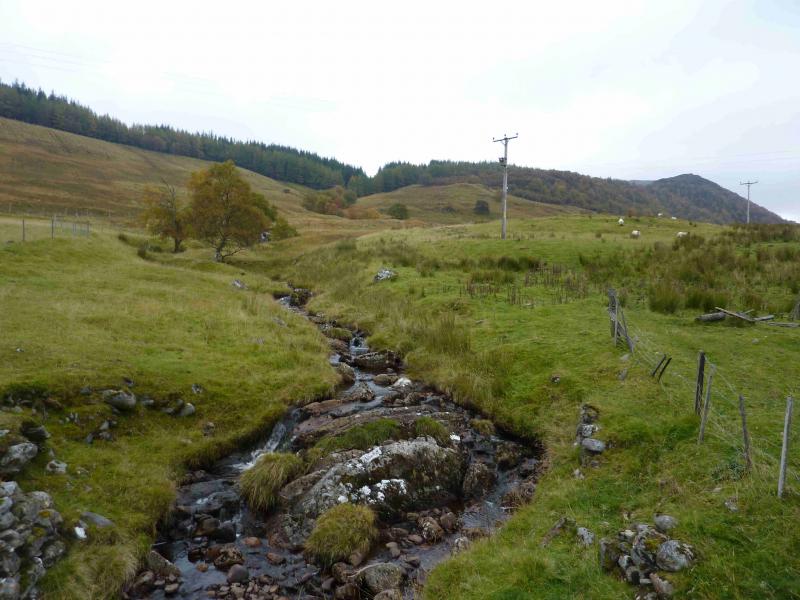
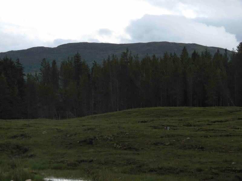
(1) Cross the bridge just E of Sherrabeg and walk up the ATV track on the right, W, side of the burn. This leads to the first gate which has to be climbed over. Continue on the track, with a boggy section, to the second gate on the edge of the plantation and climb over this. The track soon becomes a path alongside the edge of the plantation. The odd boggy section is easily avoided. The path gradually diverges away from the edge of the plantation and meets another deer fence coming from the edge of the plantation. Follow this fence up to its highest point. To visit Loch na Lairige, continue along the fence, descending slightly for about 200 m; the fence passes within about 5 m of the loch. From the highest point of the fence, a cairn should be visible about 30 m to the right, N. A line of old fence posts leads from the cairn to the deer fence which has to be climbed over. On the other side, the line of old fence posts continues and passes close to another cairn, higher than the first one and usually visible from the deer fence even in poor visibility. The line of old fence posts continues, with a few changes of directions, until it passes about 10 m N of the trig point which marks the summit of Creag Ruadh, 622 m. A cairn lies about 50 m SW of the summit from where there are better views of Loch Laggan.
(2) Return by the same route using the fence posts as a guide in mist. It is possible to walk down the NE ridge instead of following the path by the deer fence towards the forest. However, this ridge is quite rough to walk compared to the outward path.
Notes
(a) This walk took place on 28th July, 2007, and 11th October, 2012.
Photos - Hover over photo for caption. Click on to enlarge. Click on again to reduce.
 from top of Dirc Mhor.JPG)