Get Lost Mountaineering
You are here: Scotland » 09 Glen Roy to the Monadh Liath and Strathspey » Aviemore to Inverness
Geal Charn Mor
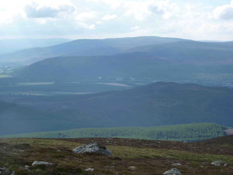
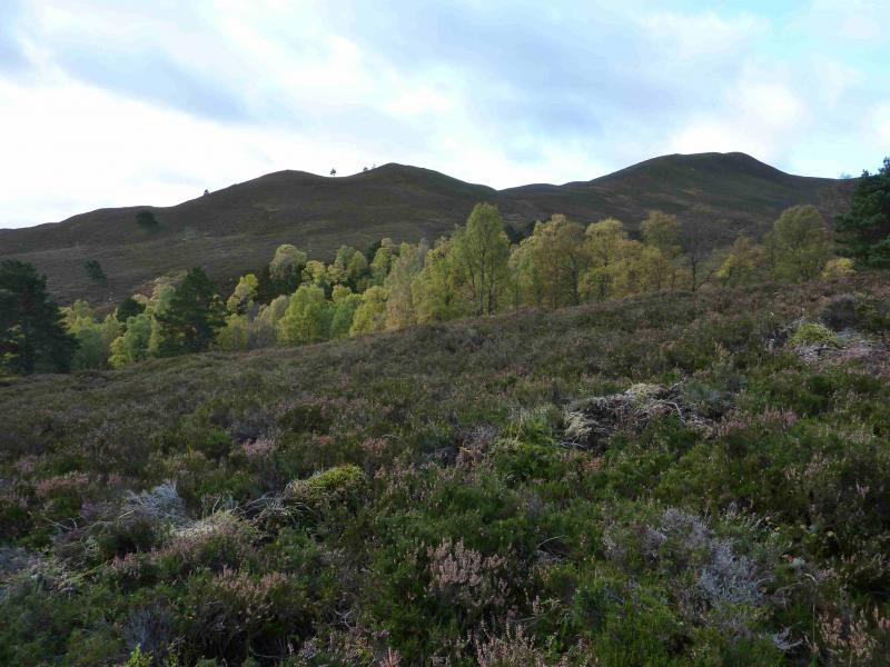
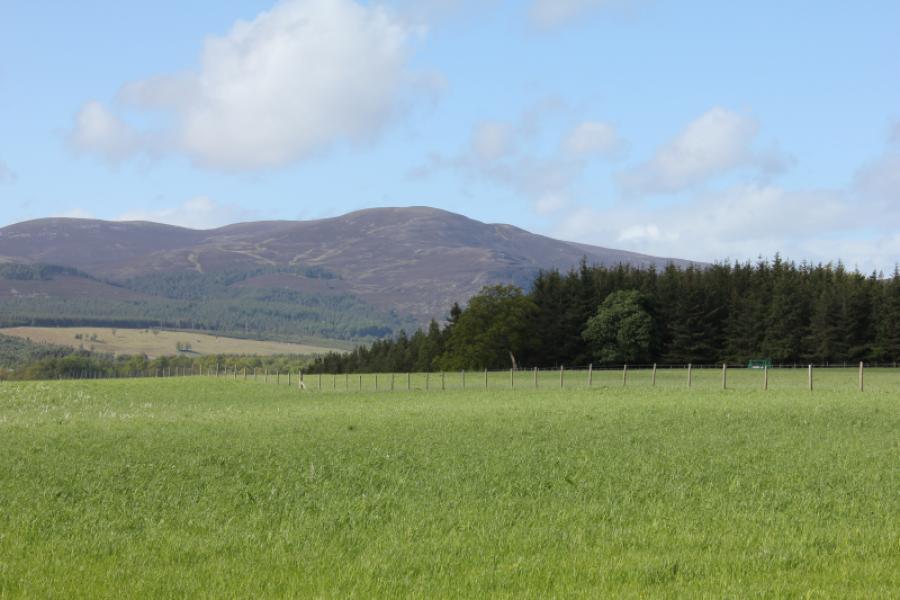
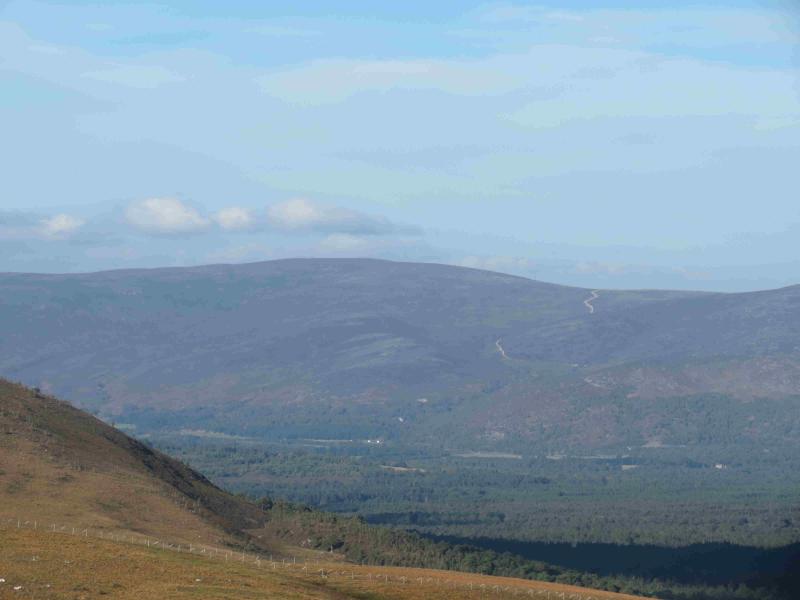
Geal Charn Mor from Lynwilg near Aviemore
Start/Finish
Lynwilg just off the A9 (signposted) about 50 m after the Aviemore turning if coming from the S. If coming from Aviemore, join the A9 to the south of Aviemore but turn right, N, on to the A9 then immediately turn off left. If coming from the N on the A9, go past the first Aviemore turning and turn right for Lynwilg just before the S turning for Aviemore. Once turned off, follow the minor road across the old stone bridge then left up a tarmac road as far as a locked gate just after the road forks. There is a parking space for several cars just before the gate. If returning down the S ridge, park just before the bridge.
Distance/Time
10 km Approx 3 hours
Peaks
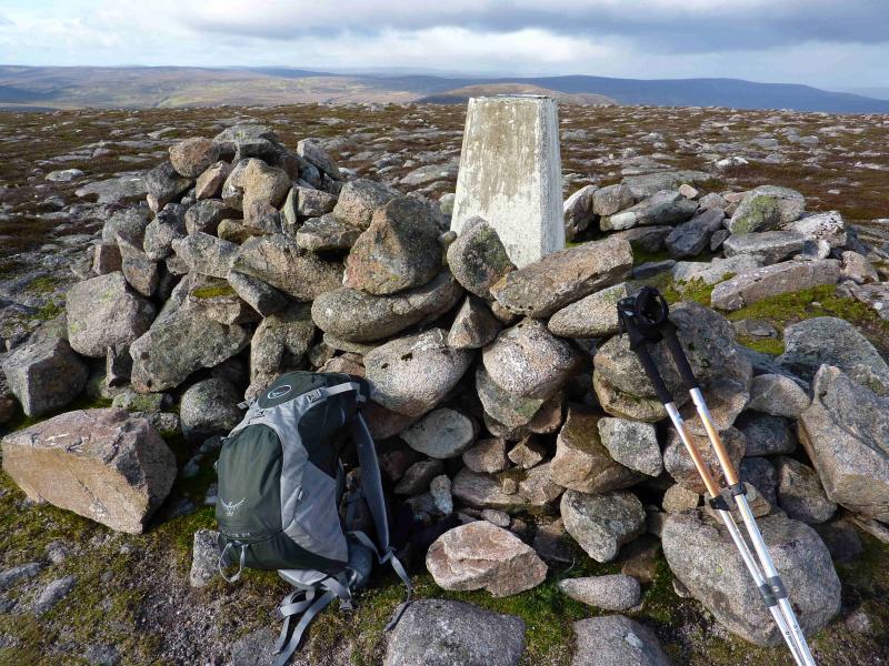
Geal Charn Mor, 824 m, NH 836 123. OS sheet 35.
Introduction
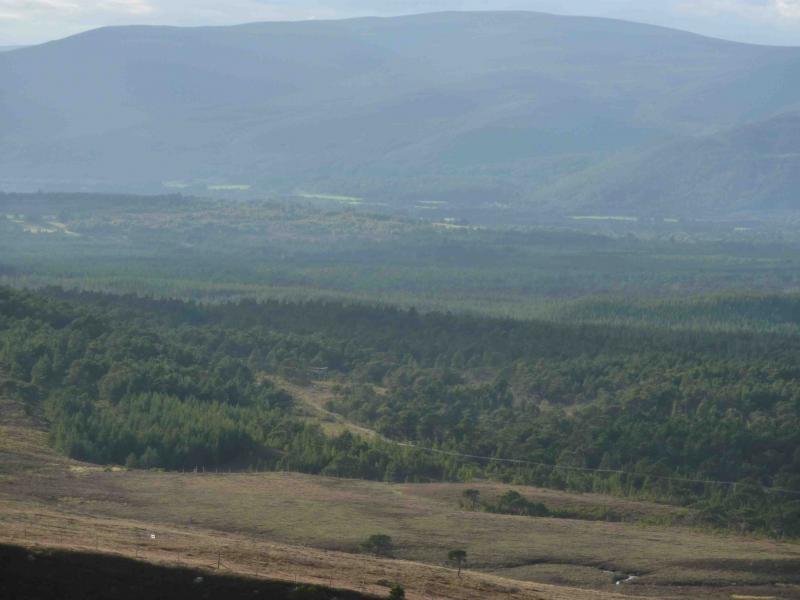
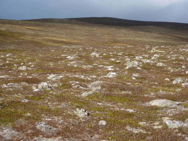
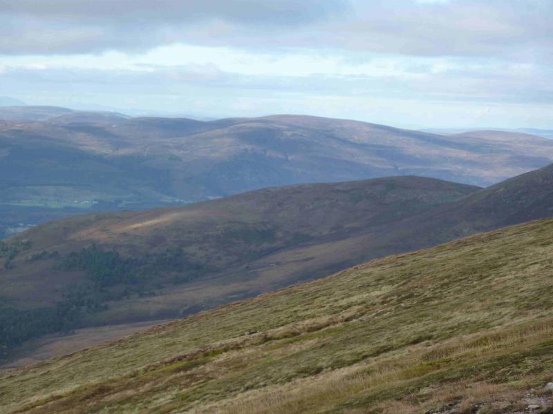
This is a fairly easy walk to navigate as there is a good track almost all the way on this Corbett. In fine weather, there are good views of the Cairngorms and Monadliath Munros. The hill is itself is shy and retiring and the summit is not visible until almost reached. The hill can be seen well from the top of the Cairngorm road and other high points to the E. This walk could be used to practice your night navigation on. Applying Naismith’s rule to the time to climb this hill gives an ascent time of about 2 h 15 min but, because the going is so easy, many reach the summit in little more than 1 h 30 min.
Route
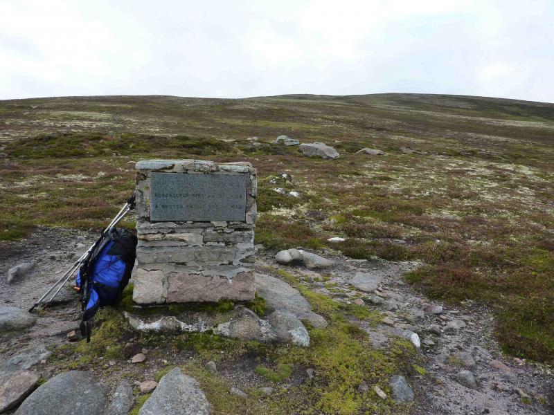
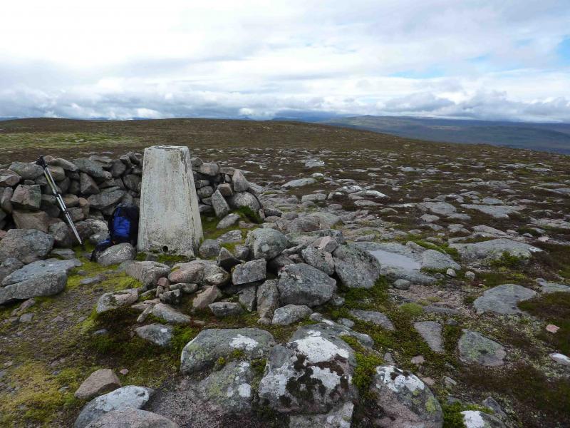
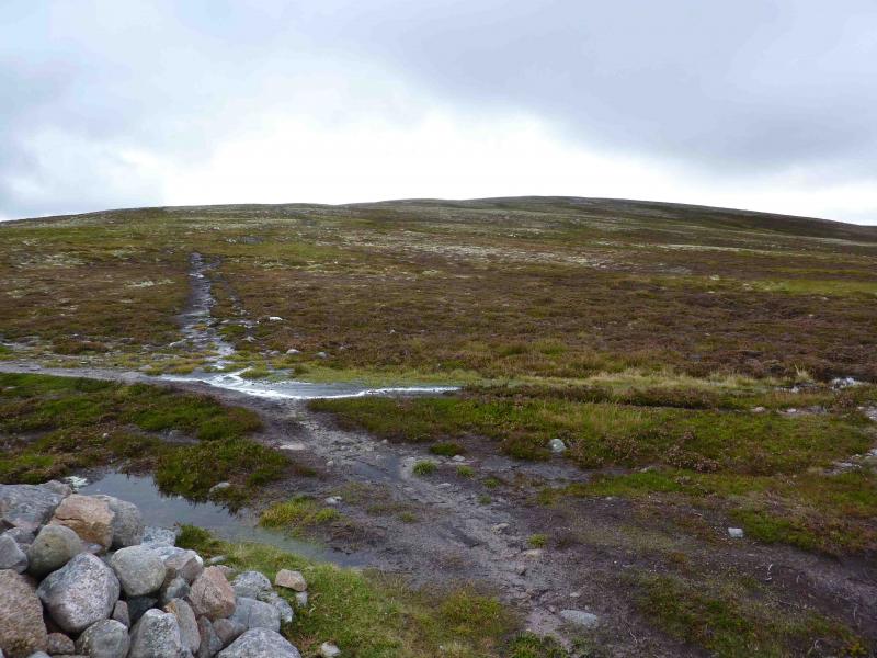
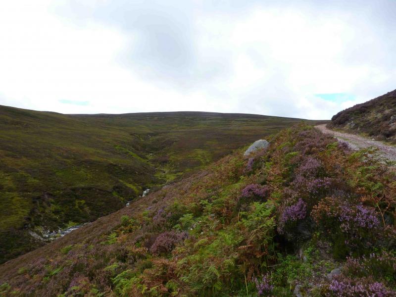
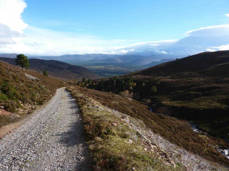
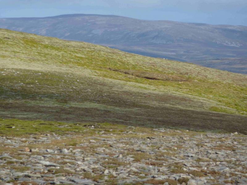
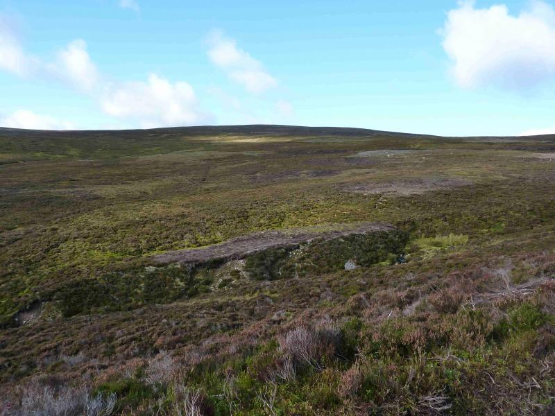
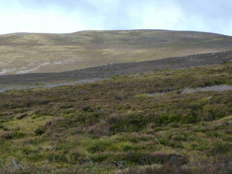
(1) Walk up the track for about 2 km through pleasant woodland to emerge on the open hillside. Continue on the track for about another 3 km, crossing a bridge en route, until it levels out a large cairn. About 100 m beyond this cairn is another cairn and a memorial. Just after the first cairn, take the obvious boggy path on the left, SW. Within about 50 m, this becomes a good path/track which easily be followed up gentle slopes, on a broad ridge, for about 1 km, to reach the summit trig point of Geal Charn Mor, 824 m.
(2) Retrace the outward route back to the start.
Notes
(a) This walk took place on 6th April, 2004, 11th September, 2010, 11th October, 2011, and 30th July, 2013.
(b) An alternative, but longer, descent goes down the broad grassy ridge to An Sguabach over a succession of gentle tops, most of which are cairned. There are frequent hints of paths down the ridge. When the ridge steepens, continue down the nose, roughly S, to reach two telecommunications masts. From here, an obvious, but rough, track leads E/NE and zig-zags down the hillside. (On the 1982 map, this is shown as a path). The track ends at a wood. Turn right, go through the gate into a grassy field and aim for the track on the far side. This goes to a ford over a river which can be avoided by going left for about 50 m to a “log bridge”. The A9 is now above you! Walk N along the noisy and dangerousA9 for about 3 km back to Lynwilg.
(c) An alternative to walking along the A9 is to turn left instead of right at the wood*. Walk along the edge of the wood on a path then follow a path just above a fence. A small lochan with strangely shaped islands will soon be reached then, just before Ballinluig, a burn will be crossed. On the other side is a faint path which leads down to the prominent track which has been running parallel to the path. Follow the track between the buildings at Ballinluig then take the tarmac road. Just before it goes right to join the A9, another track goes ahead, through a gate. Follow this track, which later turns to a tarmac road, back to Lynwilg.
Photos - Hover over photo for caption. Click on to enlarge. Click on again to reduce.