Get Lost Mountaineering
You are here: Scotland » 09 Glen Roy to the Monadh Liath and Strathspey » Monadhliath & Corrieyairack
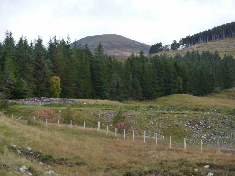
Geal Charn from Garva Bridge
Geal Charn from Garva Bridge
Start/Finish
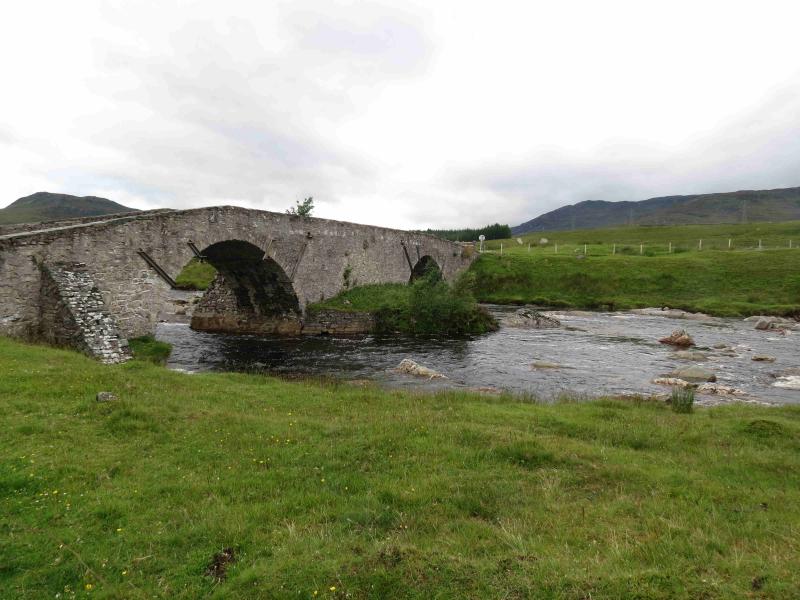
Garva Bridge which is an old multiarch stone bridge about 6 miles down the minor road which runs east from Laggan Bridge on the A86 Spean Bridge to Newtonmore road. There is plenty of parking available at Garva Bridge.
Distance/Time
13 km Approx 5 hours
Peaks
Geal Charn, 926 m, NN 561 988. OS sheet 35.
Introduction
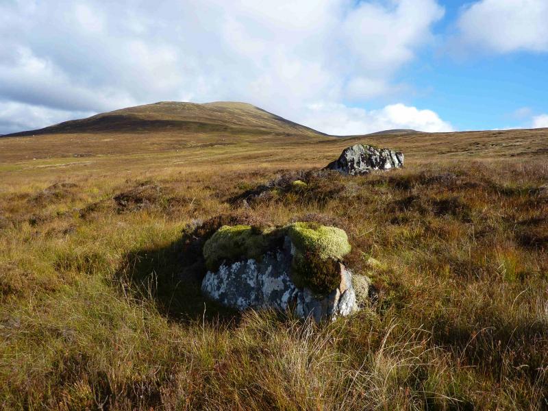
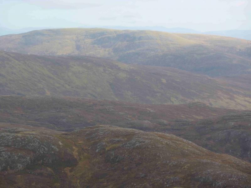
This is a high moorland hill which gives an easy day although the going can be very boggy on the approach and lower slopes. Unlike the alternative Glen Markie approach, there are no difficult stream crossings. In clear weather, there are good views towards neighbouring hills including the Creag Meagaidh range, the northern Monadh Liath and the Corrieyairack hills. The SMC guide refers to a footbridge at NN 525 959. This is a complete red herring; footbridges are irrelevant to this route.
Route
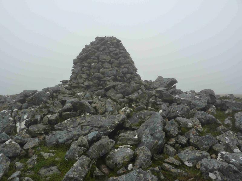
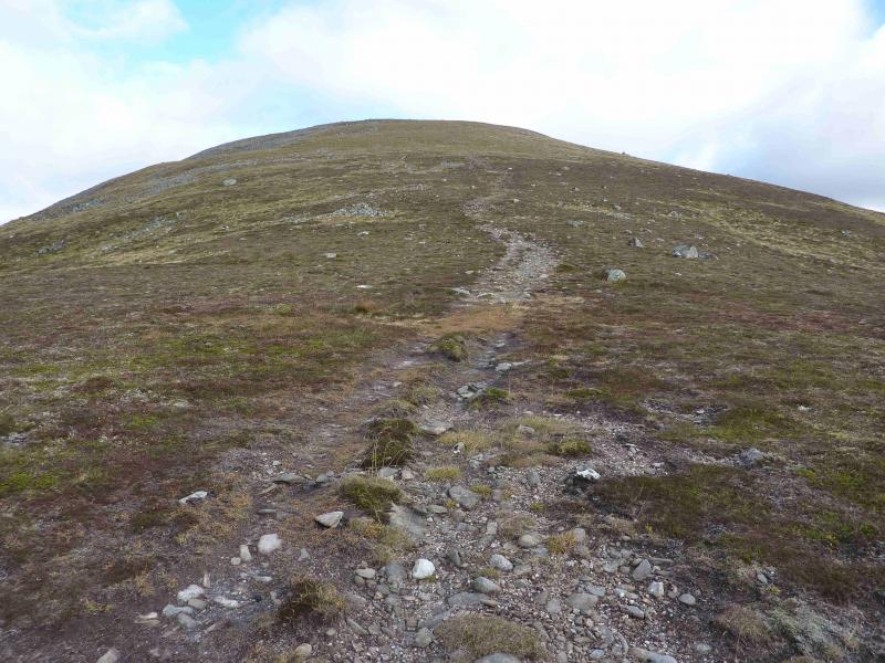
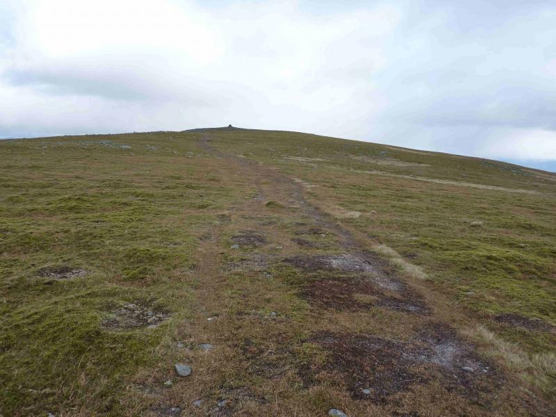
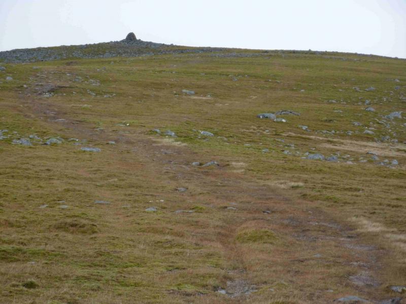
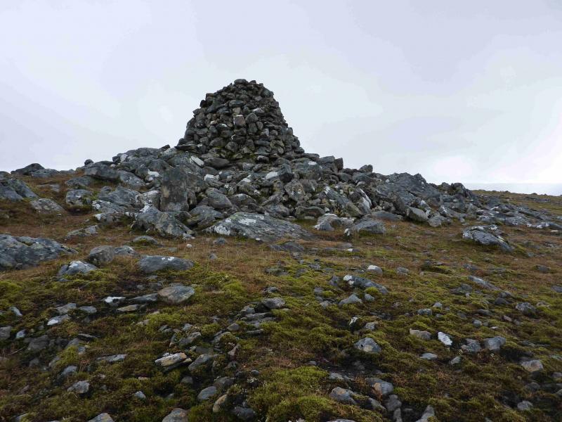
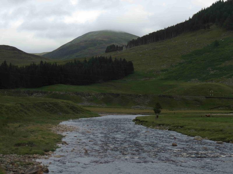
(1) Cross Garva Bridge and shortly after, take the track on the right which leads to a more modern steel bridge. Cross over this and follow the track north., left. Almost immediately, there is the option to leave the track and join the path which runs alongside the E bank of the stream/river. This path is very boggy. Follow the path to the foot of the Allt Coire nan Dearcag which is the first significant stream encountered after leaving the track. The best way from here is not to cross the stream and go straight up the SW ridge as this can be very wet and boggy lower down. Instead follow the path up the S side of the Allt Coire nan Dearcag. The path goes someway up and finally peters out just after a minor tributary joins the Allt Coire nan Dearcag. Cross the minor tributary then the Allt Coire nan Dearcag. A much better, and drier route, is to stay on the track, left, after the modern steel bridge. Follow this track past the wood until it turns right with a grassy scoop ahead. Two paths go ahead and slightly left here. Take the one going ahead which soon becomes a distinct ATV track. Follow this through two fences until it seems to peter out just before a shallow drainage ditch. From here, continue ahead on pathless, rough ground but much easier going than by the stream. If clear, simply head for Geal Charn aiming for the confluence described above at NN 548 969 then continue as already described. Once across, head upwards but slowly drifting left to converge with the path up the SW ridge. This small detour avoids much of the boggy ground. Continue up, passing an “L” shaped cairn before reaching a medium cairn at the start of the summit plateau. From here, paths seem to go in all directions so be careful in mist especially in descent. There are a few minor dips and tops on the plateau which, again, can be misleading in mist. Soon, a very large cairn, about 3 m high, is reached which marks the summit of Geal Charn, 926 m.
(2) Return by the same route, taking care in mist when leaving the summit plateau.
Notes
(a) This walk took place on 23rd July, 2012, and 6th October, 2012.
Photos - Hover over photo for caption. Click on to enlarge. Click on again to reduce.