Get Lost Mountaineering
You are here: Scotland » 09 Glen Roy to the Monadh Liath and Strathspey » Glen Roy & Creag Meagaidh
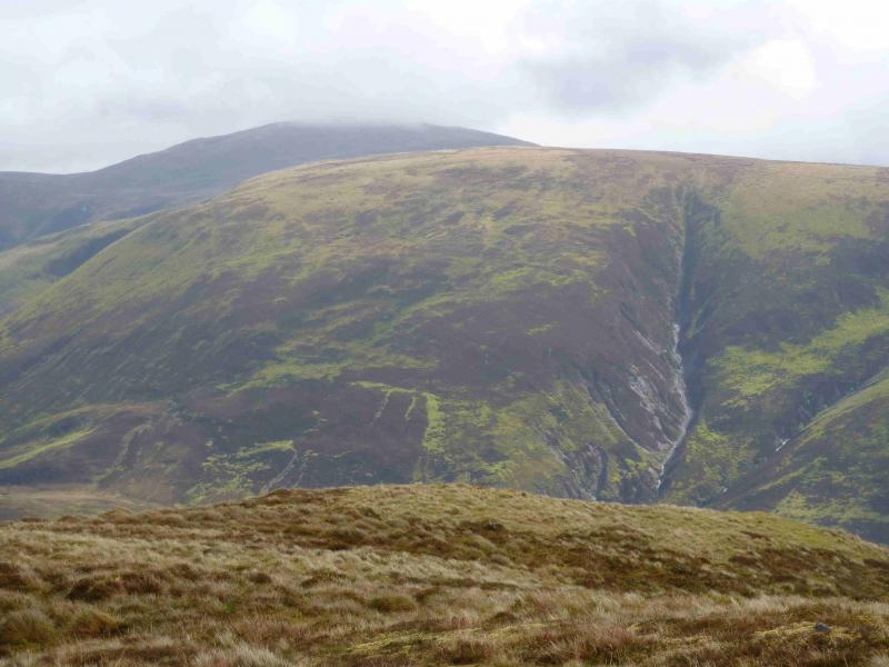
Leana Mhor, E of Glen Roy
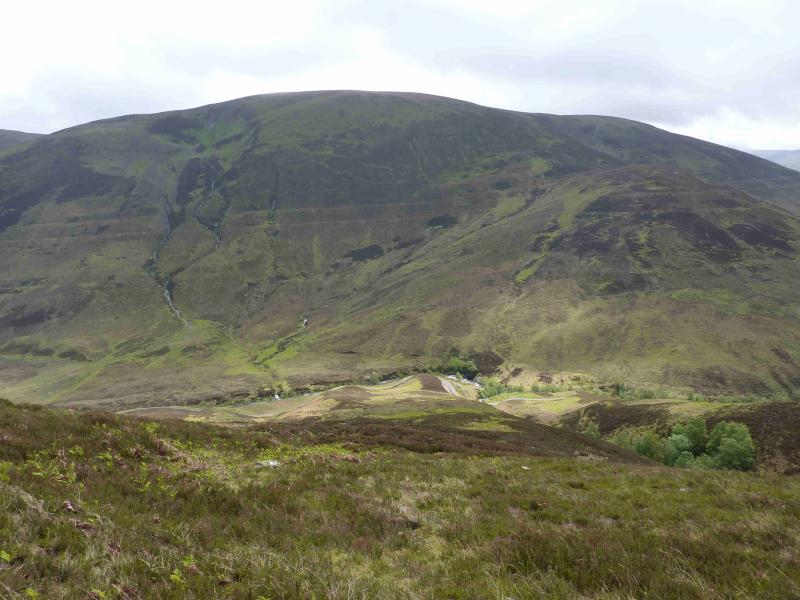
Leana Mhor, E of Glen Roy from Glen Roy
Start/Finish
By the bridge which is about 600 m before the wood at the end of the public road in Glen Roy at NN 330 909.
Distance/Time
8 km. Approx 4 hours.
Peaks
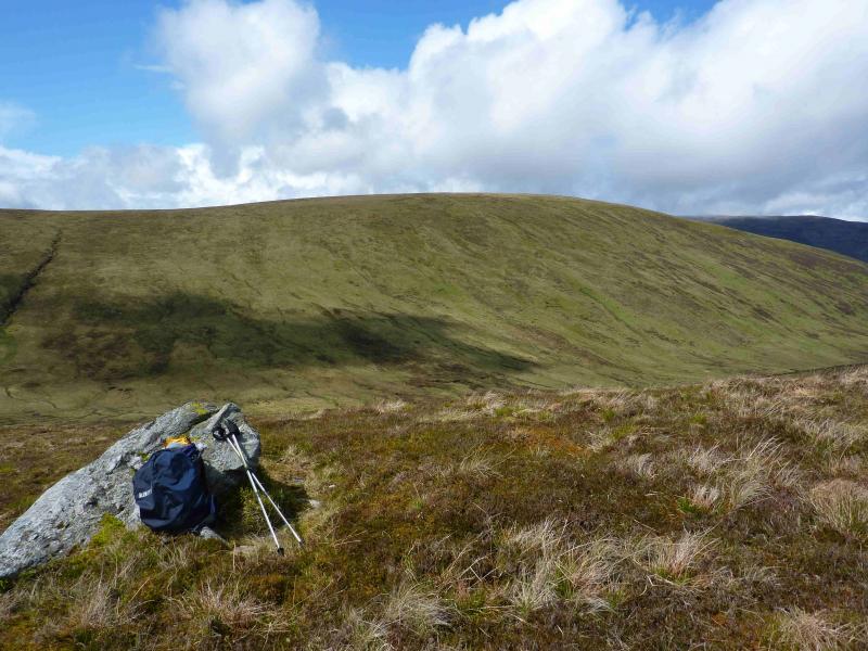
Leana Mhor, 676 m, NN 317 789. OS sheet 34.
Introduction
This walk used to start in W Glen Roy, about 3 miles up the glen, where a small rock on the right, E, of the road indicated the start of a track which zig- zagged down to a bridge across the River Roy. This bridge no longer exists so rendering this route obsolete as there is now no possibility of crossing the River Roy at this point – even in drought conditions! This obsolete bridge way was the route given in the 1997 edition of “The Grahams” by Andrew Dempster. Only two possible starting points remain to ascend Leana Mhor from. One is from Bohenie to the S which is reached by driving up the E side of Glen Roy from Roy Bridge but this involves a quite lengthy detour around Gleann Glas Choire: the other (the route described here) starts from the bridge about 600 m S of the end of the road on the W side of Glen Roy. This is more direct but, after rain, the lower ground can be quite boggy and there are two burns to be crossed which can be tricky, especially the one above Brunachan.
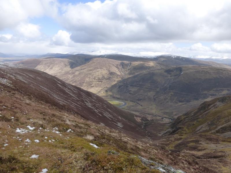
This walk gives good views of Creag Meagaigh, Beinn a' Chaorainn, Beinn Teallach, the Loch Lochy Munros and the mountains south of Glen Spean including Grey Corries and Aonach Mor. Most of the route is pathless on reasonably good terrain. Navigation will need care in mist. Glen Roy is well known for its “parallel roads” which are essentially “tide marks” left on the hills by retreating glaciers during the last ice age. These are shown on the 1989 OS 34 sheet as “tracks” but this is an over statement and they are often crossed unnoticed and should not be relied upon as paths or tracks.
Route
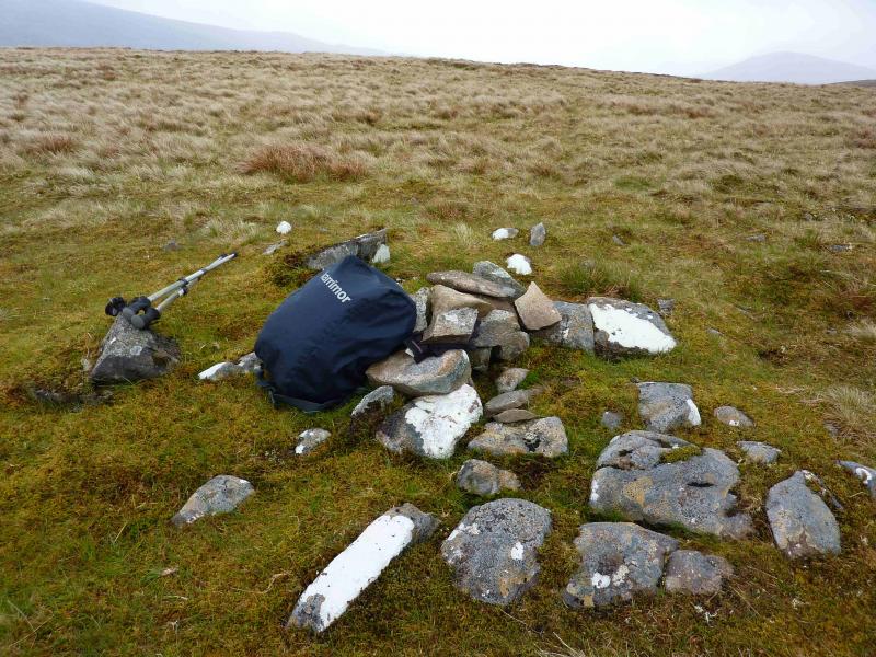
(1) Cross the River Roy by the bridge and cross the burn flowing out of Coire na Reinich which might be awkward in spate and necessitate a short detour upstream towards the corrie. Follow the E bank of the River Roy downstream, on an intermittent path, to reach Brunachan. Cross the burn, not easy after rain (see note below) and certainly more difficult than the first burn. Ascend SE then S up the reasonably well defined ridge where there is an intermittent path. A track appears “out of nothing” on the left side of the ridge about a quarter of the way up. This can be followed until it crosses the crest of the ascent ridge when it should be left and a way picked up the crest.When the angle eases, a large plateau is reached. After about another 300 m, a very small pile of stones is reached which is the summit cairn of Leana Mhor, 676 m.
(2) Descend by the route of ascent bearing in mind the state of the burns.
Notes
(a) This walk took place on 29th May, 2011.
(b) If the burn at Brunachan is too difficult to cross, then a lengthy, 2 km, detour upstream is the only option. Follow the N bank of the burn on an intermittent path. Cross the burn flowing out of Coire Dubh (not usually difficult) and continue S above a gorge. One may have to walk as far as the three tributaries coming from the E to find a crossing point. Once across, bear W up easy grassy slopes to reach the summit plateau.
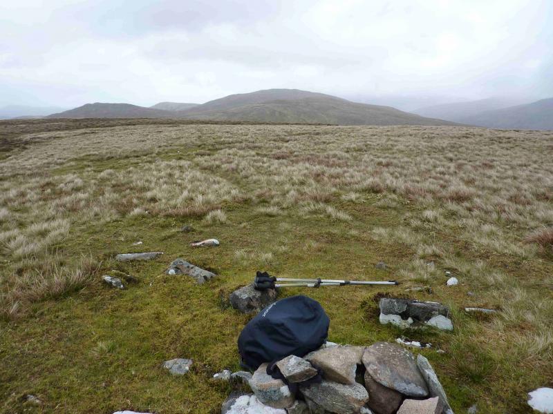
(c) This walk could easily be combined with an ascent of Carn Dearg to the E. From Leana Mhor, descend SE to the bealach (the burn flowing E from below the lochan on the plateau could be a useful guide in mist) then ascend NE then ENE up the long easy ridge of Carn Dearg.
Photos - Hover over photo for caption. Click on to enlarge. Click on again to reduce.
 from Carn Dearg W flank.jpg)
 from viewing car park in Glen Roy.jpg)