Get Lost Mountaineering
You are here: Scotland » 10a Morvern, Sunart, Ardgour and Moidart » Moidart & Ardnamurchan
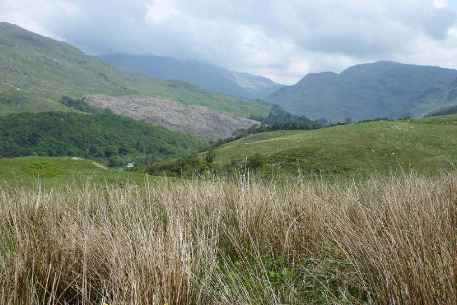
Beinn Gaire and Croit Bheinn
Beinn Gaire and Croit Bheinn from Glen Moidart
Start/Finish
Small car park at end of public road in Glen Moidart. Glen Moidart is signposted off the A861 road near Kinlochmoidart. The road up Glen Moidart is quite rough so drive slowly. It is about 40 miles from Fort William via Lochailort where one leaves the Mallaig road.
Distance/Time
22 km. About 8 – 9 hours.
Peaks
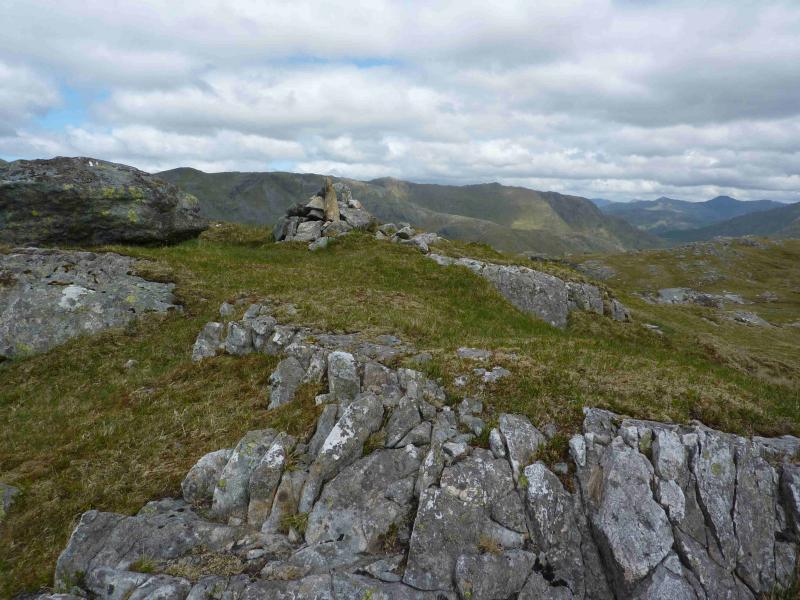
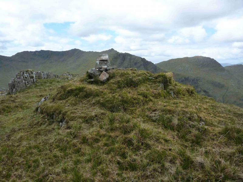
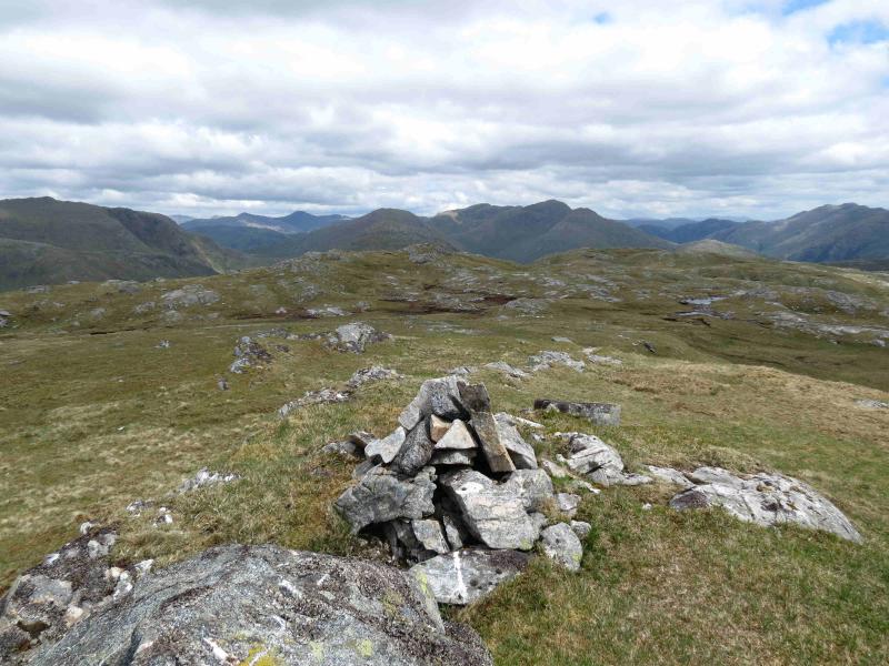
Beinn Gaire, 666 m, NM 781 748.
Croit Bheinn, 663 m, NM 810 773. OS sheet 40.
Introduction
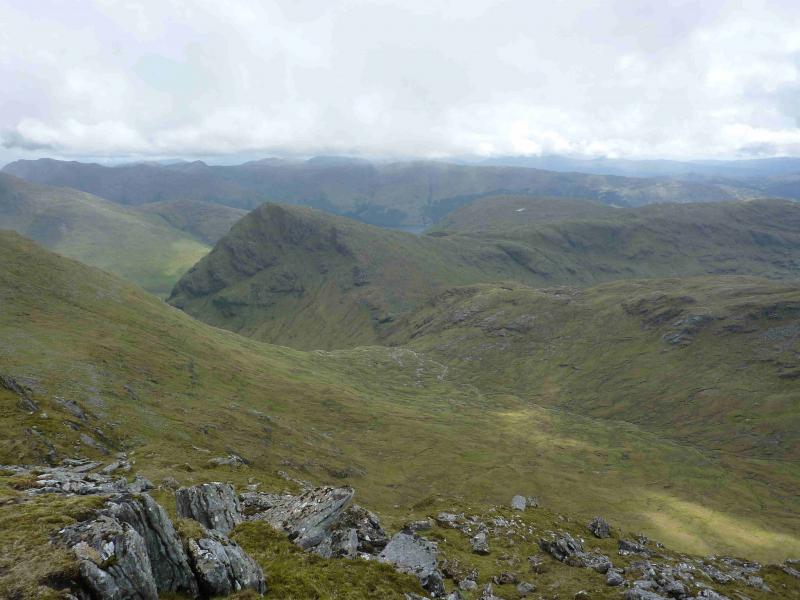
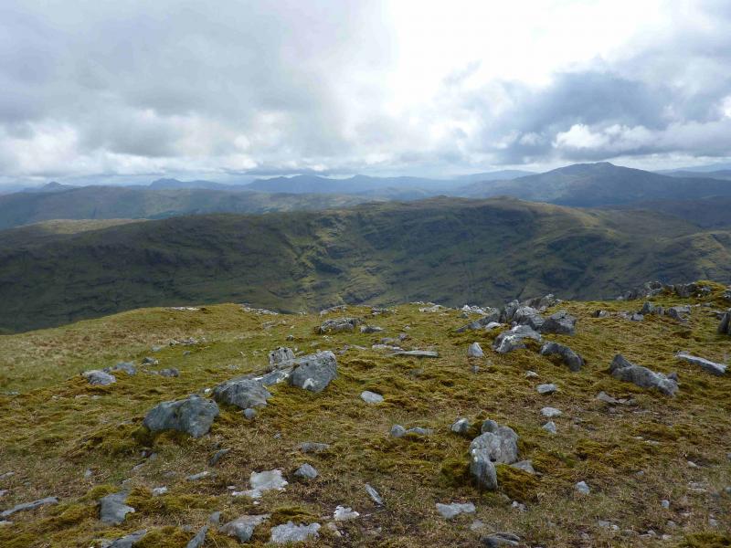
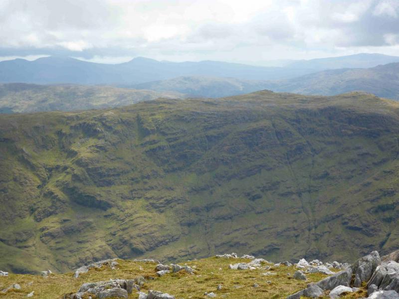
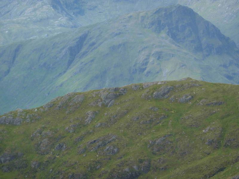
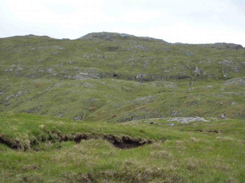
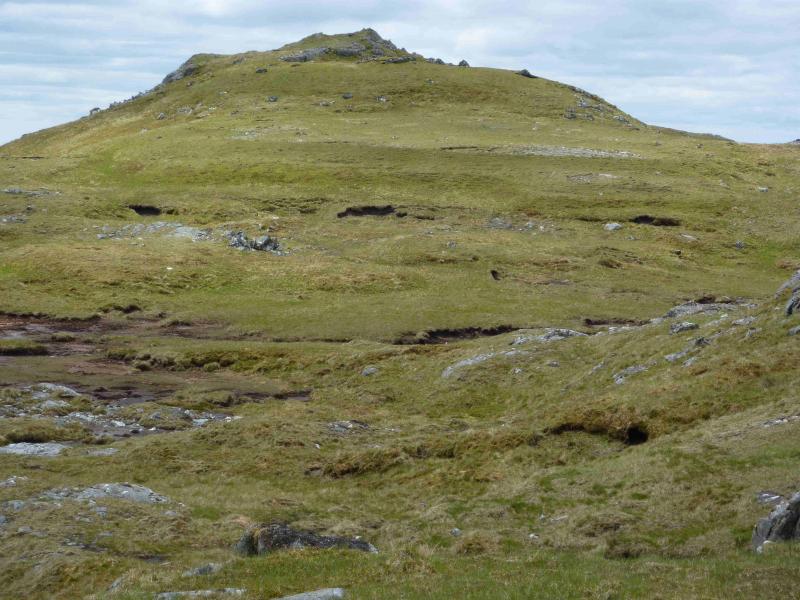
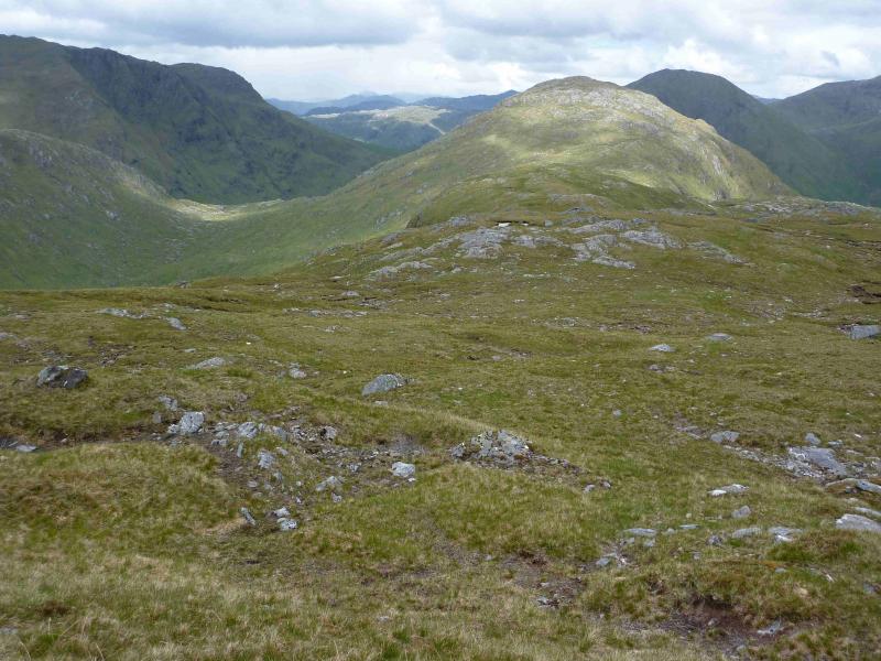
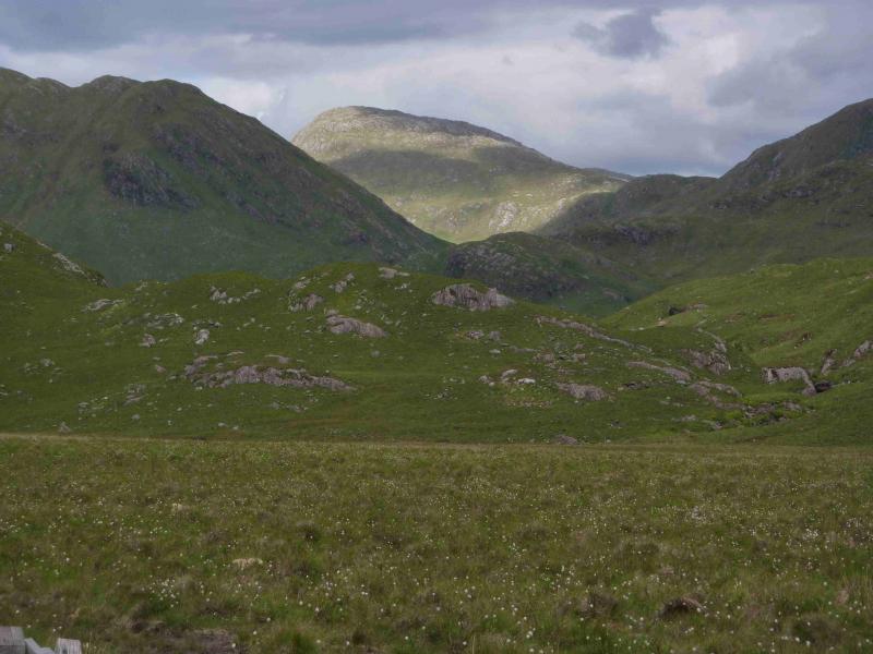
A tough and demanding walk over 2 Grahams, which gives excellent views of the surrounding mountains including Rois Bheinn, Beinn Odhar Bheag and Beinn Resipol and even Rum and Mull. It is worth saving these mountains for a good day in a dry spell as both Glen Gluitanen and Glen Moidart are normally very boggy. There is little in the way of paths on parts of this walk. The return from Croit Bheinn can take up to four hours – even longer in a wet spell. In mist, the navigation will be difficult because of the complex undulating terrain.
Route
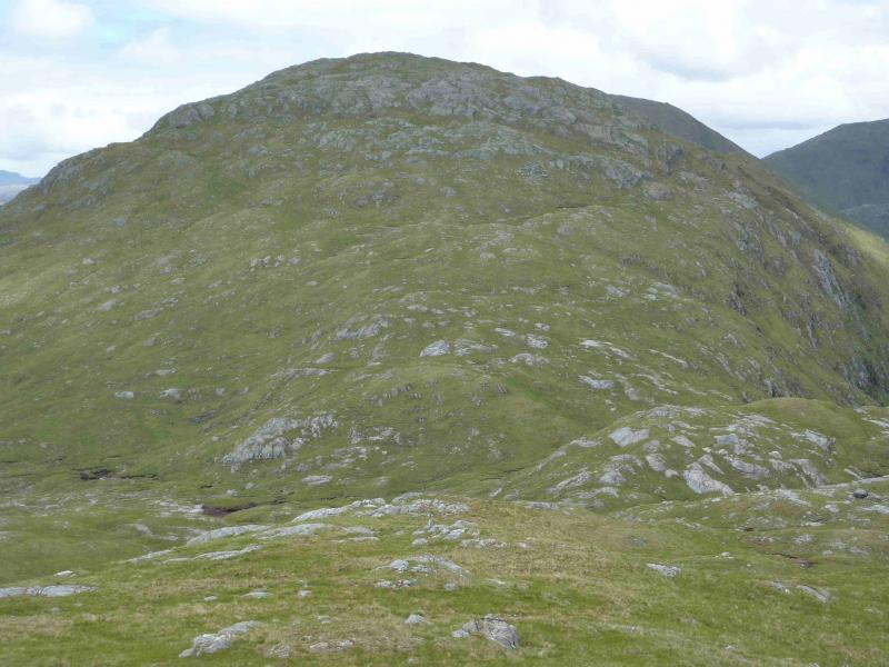
(1) From the car park, gain the track which forked right just before it and follow this past Loch nan Lochan. About where a road bridge crosses the river, fork right on to a new track (not shown on the 1989 map) which climbs to a dam at the unnamed lochan in Glen Forslan. From here, ascend the steep grassy slopes ahead keeping well to the left of the prominent gully until level with its top then head ENE across undulating complex terrain with no clearly defined ridges and many hollows. Eventually, reach the medium cairn which marks the summit of Beinn gaire, 666 m.
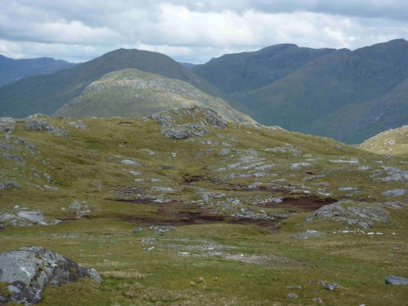
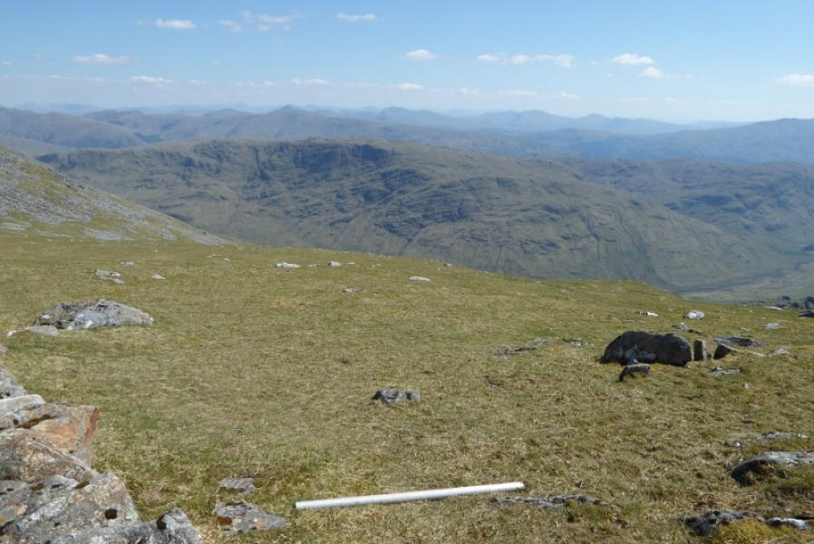
(2) Descend ENE, NE then N to reach Bealach a' Choire Mhor on equally complex terrain with many undulations to weave around but the going is generally easy on mainly grassy ground although there is the odd, but easily avoidable, boggy section From the bealach, ascend roughly NE to reach the small cairn which marks the summit of Croit Bheinn, 663 m.
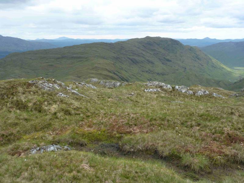
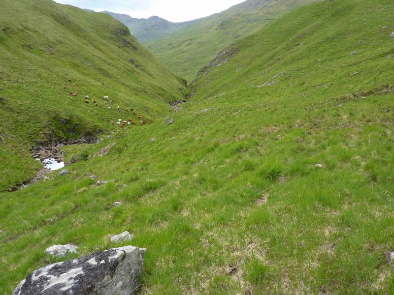
(3) From the summit, descend SW down easy slopes ro reach the floor of Glen Gluitanen. Follow the river, on its N side to the narrow and rocky Bealach nan Lice. Go through the bealach on the N side of the burn and follow the River Moidart, again on its N side. The higher one goes the less boggy it is. At Ulgarry, there are many ruins of what must have been a thriving community in the past. A rough track starts about here and can be followed past Assary where it starts to improve. Just after Glen Forslan ruins, a path goes across the road bridge (passed earlier) to rejoin the outward track.
Notes
(a) This walk took place on 27th May, 2003, and 3rd June, 2012.
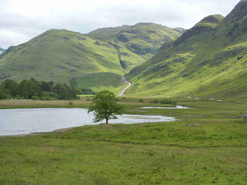
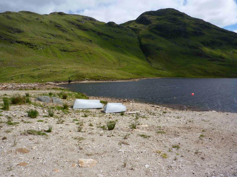
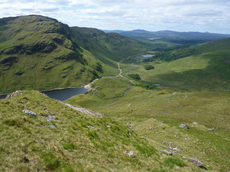
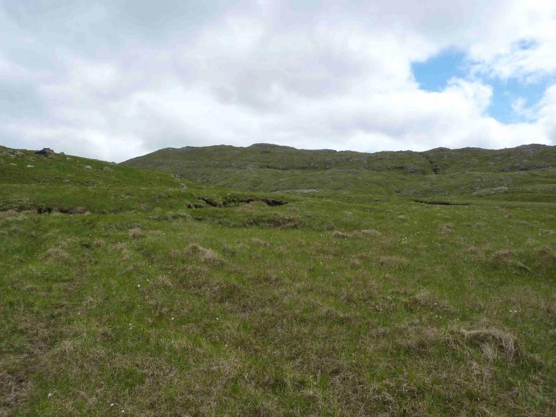
Photos - Hover over photo for caption. Click on to enlarge. Click on again to reduce.