Get Lost Mountaineering
You are here: Scotland » 10a Morvern, Sunart, Ardgour and Moidart » South of Glen Tarbert
Beinn Mheadhoin
Beinn Mheadhoin by W ridge from Kingairloch via Corran Ferry (Loch Linnhe)
Start/Finish
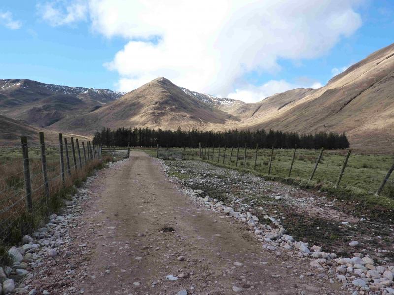
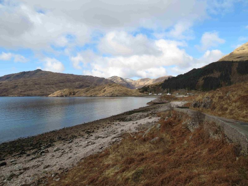
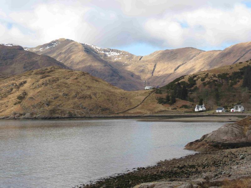
From the Ardgour side of the Corran ferry (between Ballachulish and Fort William on A82), drive south on A 861 for about 7 miles until the road leaves Loch Linnhe and swings inland towards Strontian. About here is a minor road, B9043, which heads towards Kingairloch. This road is narrow in places and a short section is below cliffs but it is very scenic. When this road swings west past Glengalmerdale then climbs up over the headland, look for the minor road on the left into Kingairloch. This is only a public road for some of its length so park (plenty of space) at the private road notice.
Distance/Time
9 km About 5 hours
Peaks
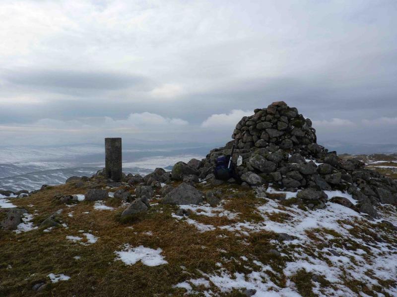
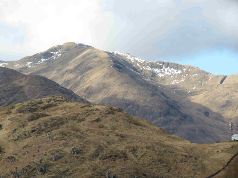
Beinn Mheadhoin, 739 m, NM 799 514. OS sheet 49.
Introduction
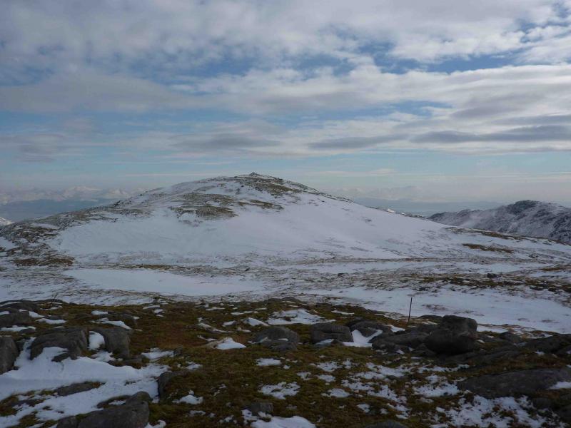
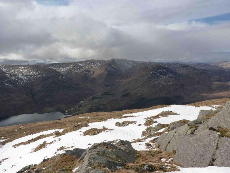
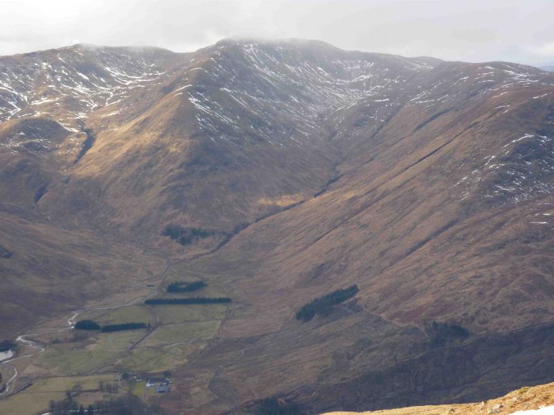
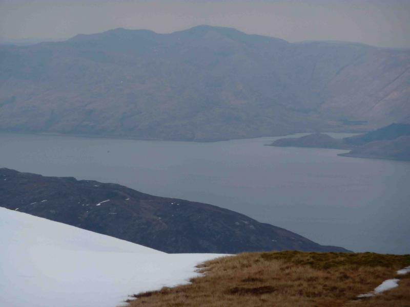
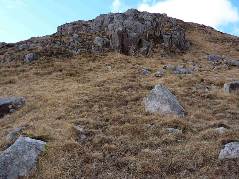
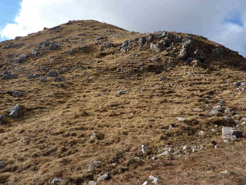
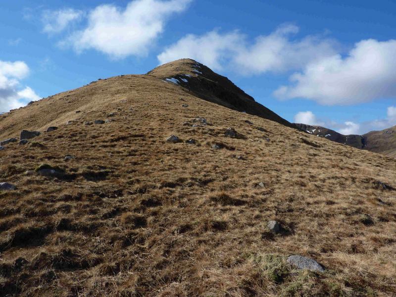
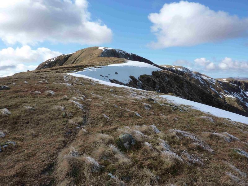
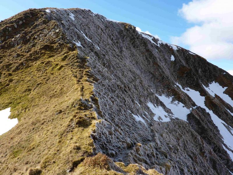
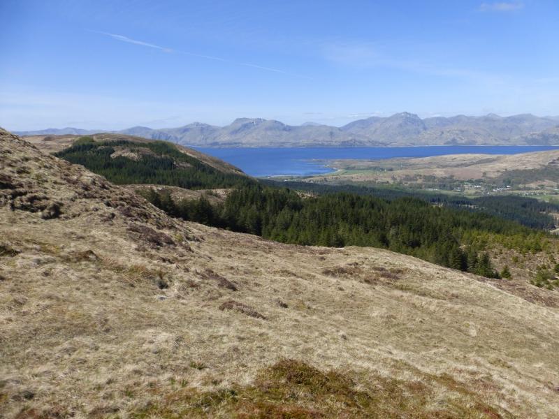
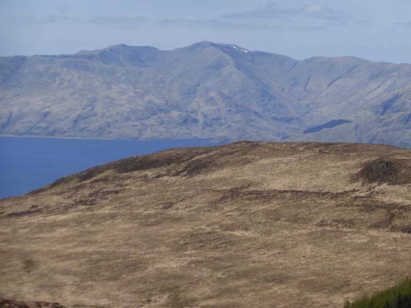
A fairly strenuous walk directly up the nose of the west ridge of Beinn Mheadhoin, mainly on grass with all rock easily avoidable, which gives excellent views of the surrounding mountains including Mull, Rum, the western seaboard from Ben Nevis to Ben Cruachan as well as all the Ardgour hills. There is more than a hint of a path most of the way. For views, this is one of the best walks in Scotland so it is well worth saving this mountain for a good clear day. This is a sensitive area for deer management so it is best to visit between March and June. It is an ideal walk for March when the snow only remains on the high tops and the sky is blue. The path on the final ascent to the summit plateau picks its way through some rocks on the north face which can be iced up after a frost. Of the two ascent routes given for Beinn Mheadhoin, this is by far the better. There is a river crossing which is normally a few inches deep but may be a problem after rain. On approach the nose looks very steep but it is actually fairly gentle. This is one of the few routes where retracing the route of ascent is strongly recommended for the views across Loch Linnhe.
Route
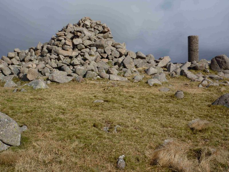
(1) Continue along the private road and follow it across the bridge towards North Corry. Just before the last house, there is a short signed path on the left which avoids disturbing the house and rejoins the track heading towards Beinn Mheadhoin. When a T junction is reached, gop right, still heading towards Beinn Mheadhoin. An old ruin is passed before the track crosses a shallow ford and ends below an obvious wood. The ground is quite rough so follow the fence on the right to a gate above the wood then head for the foot of the west ridge. Pick a way up the grassy slopes, trying to stay on the crest where there is often more than a hint of a path. The higher one goes, the more obvious the path becomes. There are a few shoulders on the ridge but no descending. The final section is steeper and has some rock at its foot but, if ice free, is straightforward walking. The summit plateau is soon reached where there is a large cairn and trig point marking the summit of Beinn Mheadhoin, 739 m. The ascent takes little more than 2 hours even stopping for lots of photos.
(2) Retrace the outward route down the west ridge.
Notes
(a) This walk took place on 13th March, 2013.
(b) An alternative descent is to use the ascent route given for the other approach to Beinn Mheadhoin which involves walking around the head of Coire Ban then over Meall na Greine and Sgurr Shalachain then SE to the track dropping to North Corry. This route involves a lot of up and down and is not as enjoyable as the west ridge.
Photos - Hover over photo for caption. Click on to enlarge. Click on again to reduce.