Get Lost Mountaineering
You are here: Scotland » 10a Morvern, Sunart, Ardgour and Moidart » Moidart & Ardnamurchan
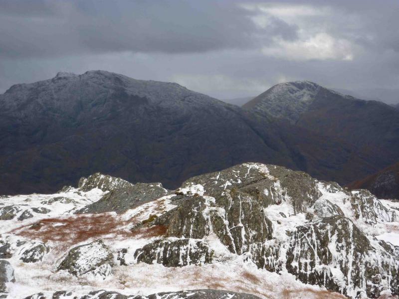
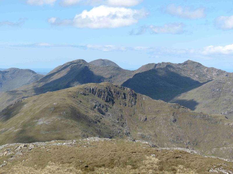
Beinn Odhar Bheag & Beinn Mhic Cedidh
Beinn Odhar Bheag & Beinn Mhic Cedidh from near Loch Eilt
Start/Finish
About 3 miles west of Glenfinnan on the A830 from Fort William. 3.1 miles west of the Glenfinnan Visitor Centre is a lay by. In good weather, one can see the notch where the NW ridge of Beinn Odhar Mhor is gained. However, it is nearer to park at the next lay by which is 3.4 miles from the Visitor Centre where there is a locked gate on to the railway and a railway tunnel just to the west.
Distance/Time
18 km . About 7 hours.
Peaks
Beinn Odhar Mhor, 870 m, NM 851 790.
Beinn Odhar Bheag, 882 m, NM 846 778.
Beinn Mhic Cedidh, 783 m, NM 828 788. OS sheet 40.
Introduction
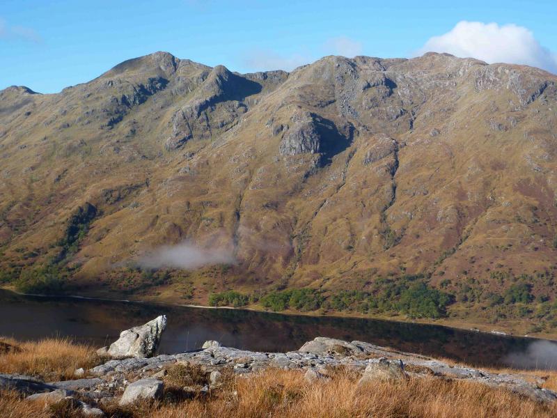
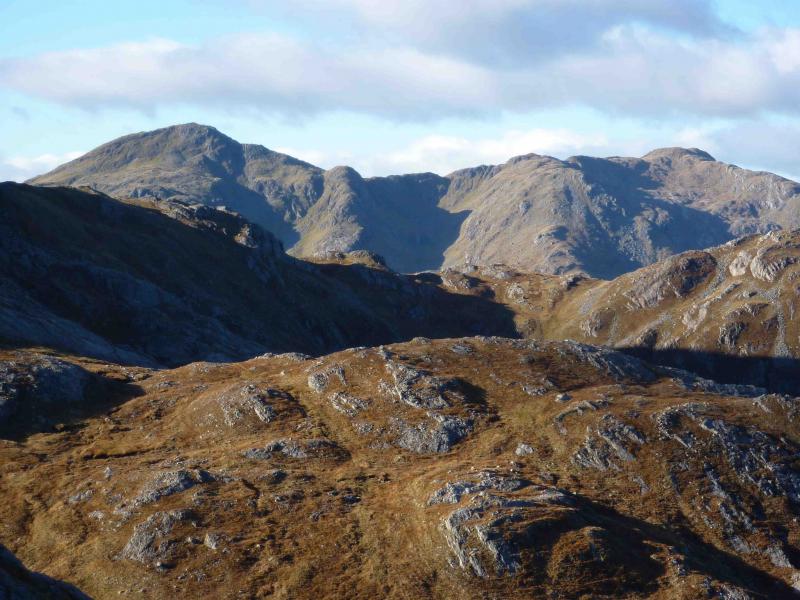
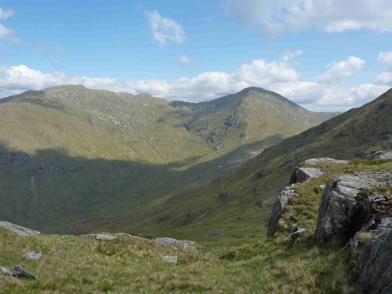
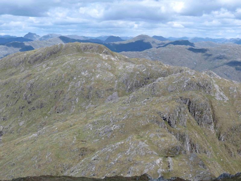
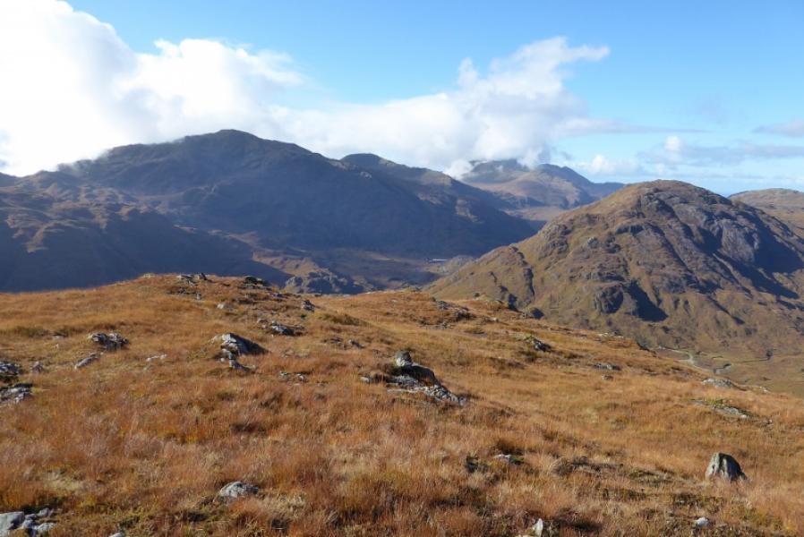
A fairly strenuous walk over 2 Corbetts, which gives excellent views of the surrounding mountains including Corryhully, Ardgour, Ben Nevis, and even Skye, Rum and Mull. It is worth saving these mountains for a good day not just because of the views but also because navigation would be quite demanding in mist. There is little in the way of paths on parts of this walk. The lower ground, particularly near Loch Eilt, is normally very boggy so this walk is much more pleasant in a dry spell.
Route
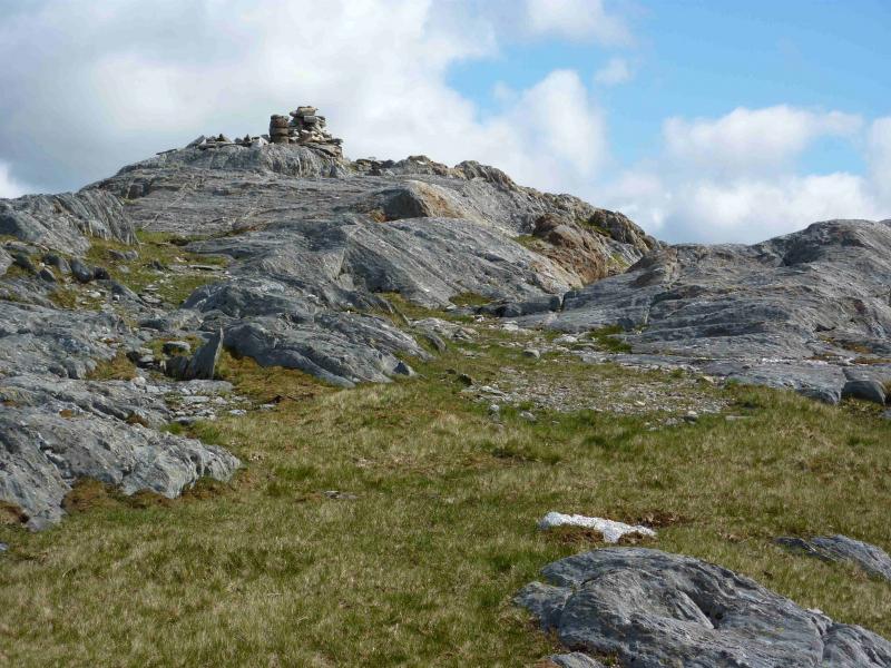
(1) From the lay by, climb over the gate and cross the railway which has planks laid in it suggesting a crossing point. There are no notices to the contrary. A faint path can be followed which gradually diverges to the left away from the railway and ascends roughly SW, on easy grassy slopes, to reach the notch in the NW ridge described above. From here, the straight forward NW ridge can be followed to the medium cairn and remains of a trig point which mark the summit of Beinn Odhar Mhor, 870 m.
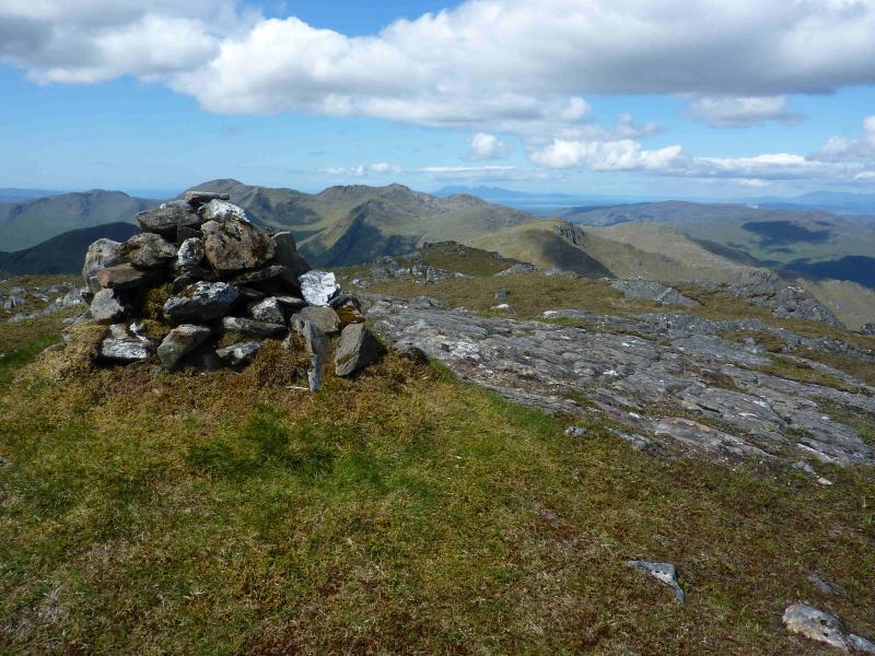
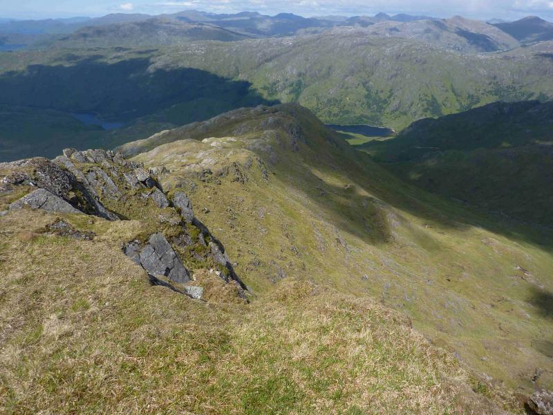
(2) Descend S, intially down steep ground, then follow the undulating ridge S to a minor top then SW to the bealach then SSW up a more defined ridge to the medium cairn which marks the summit of beinn Odhar Bheag, 882 m. Note that the connecting ridge between Beinn Odhar Mhor and Beinn Odhar Bheag is quite rocky in places with steep drops on the Loch Shiel side (E) but all difficulties are easily avoided.
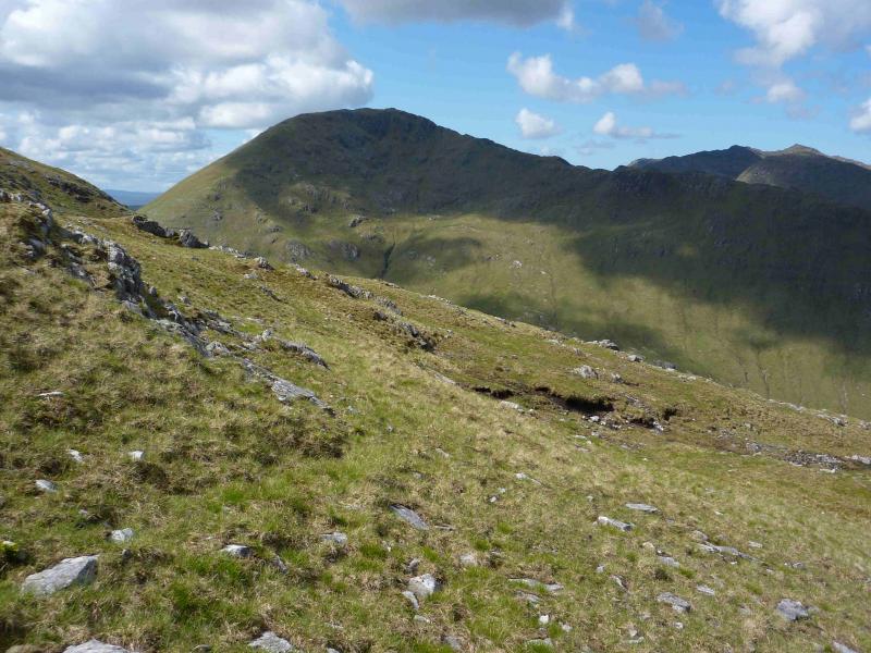
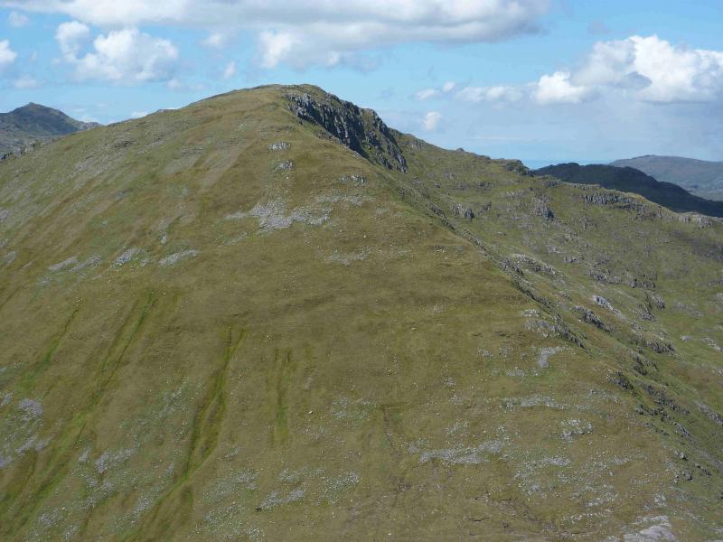
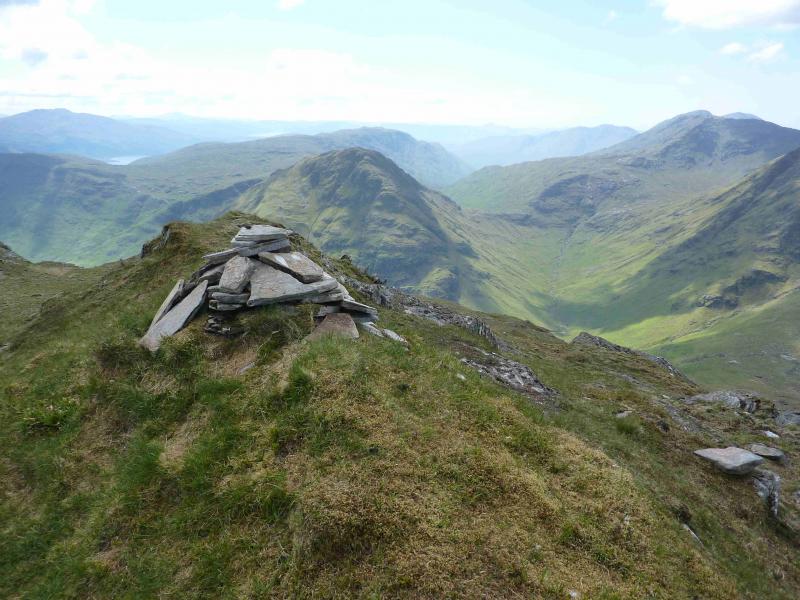
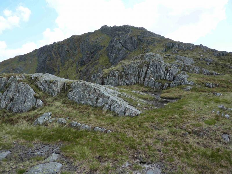
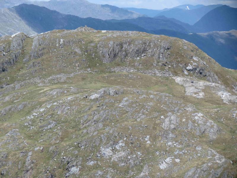
(3) From the summit, descend NW down a reasonably well defined, though broad in places, ridge to reach the deep and broad Bealach a' Choire Bhuidhe. Ascend roughly W up a well defined but steep and grassy ridge. When the angle finally eases, the small cairn which marks the summit of Beinn Mhic Cedidh, 783 m sits at the far end of the summit area.
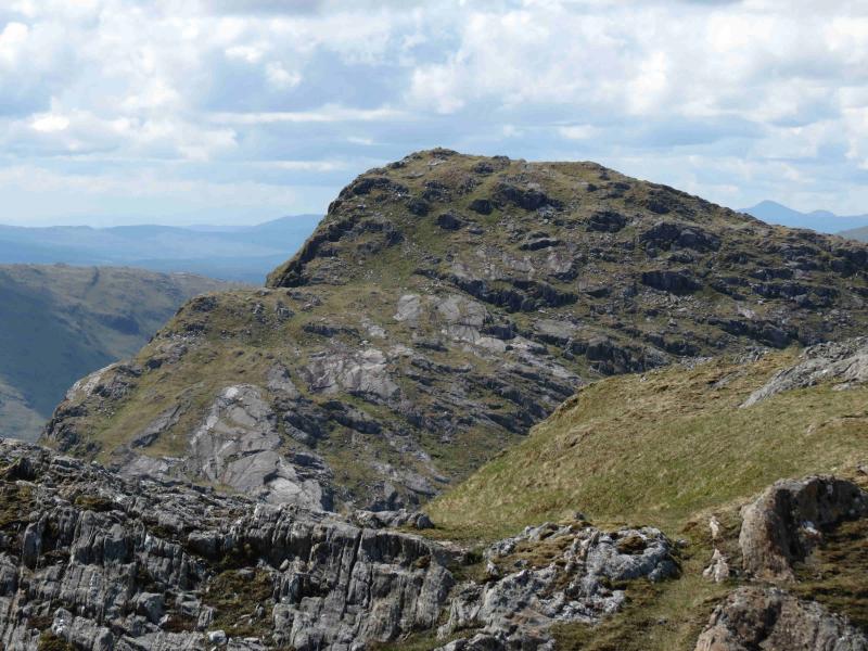
(4) Descend the N ridge of Beinn Mhic Cedidh. This is an undulating rocky ridge but there are no real difficulties. Lower down, there are crags to either side which one needs to be aware of. The easier route is to hold the crest, aiming for the bealach before Sgur na Pate. An ATV track goes through this bealach and crosses the Allt a' Choire Bhuidhe where it joins another track. Continue on the track which goes under the railway and eventually joins the road E of Loch Eilt. From here, walk back, unfortunately uphill, to the start. If one drifts to the right, E, when descending the N ridge of Beinn Mhic Cedidh, then more care will be needed lower down to avoid the crags but there are still no real difficulties and the ATV track is just joined a little nearer the Attl a' Choire Bhuidhe.
Notes
(a) This walk took place on 4th June, 2012 and a similar route in reverse on 29th May, 1997.
Photos - Hover over photo for caption. Click on to enlarge. Click on again to reduce.