Get Lost Mountaineering
You are here: Scotland » 10a Morvern, Sunart, Ardgour and Moidart » Loch Linnhe to Loch Shiel
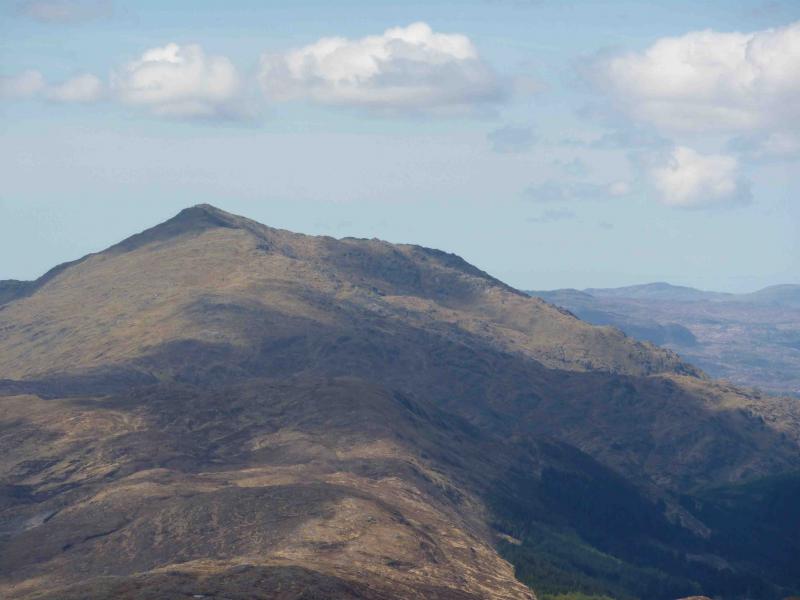
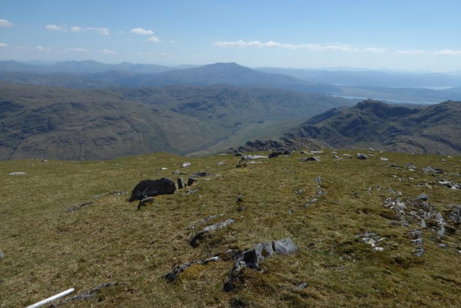
Beinn Resipol from the East
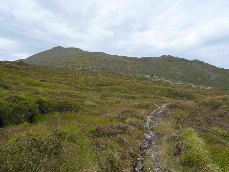
Beinn Resipol from Ben View Hotel near Strontian
Start/Finish
Ben View Hotel which is up a minor road about 1 mile W of Strontian on A 861. From Corran Ferry, drive south then west. Go just past centre of Strontian. Ask permission to park first.
Distance/Time
18 km. Approx 7 hours.
Peaks
Beinn Resipol, 845 m, NM 766 654. OS sheet 40.
Introduction
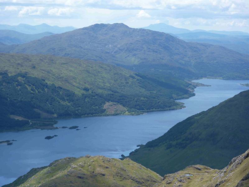
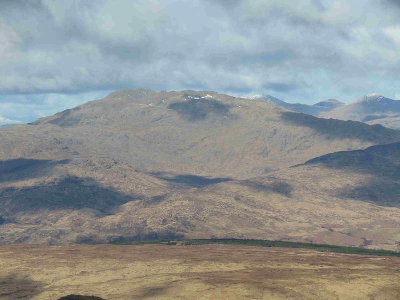
Beinn Resipol is a fine peak with excellent views in all directions on a clear day. Rum, Eigg, Mull and Skye dominate the seascape whilst the Loch Linnhe, Loch Shiel and Ardgour hills dominate the landscape. The usual route is from the west starting at Resipol caravan park but it is quite boggy in places whereas this route is from the east and is less boggy. This route is very straight forward on a clear day but much care is needed in mist, especially in descent where a minor navigational error could lead to one descending into the wrong glen.
Route
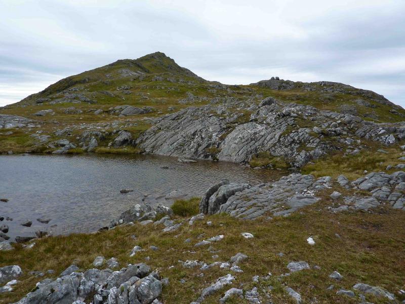
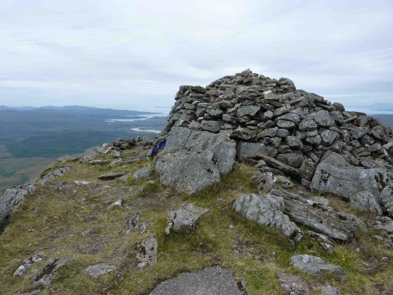
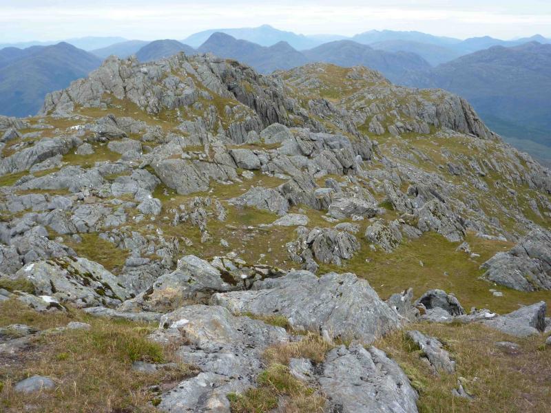
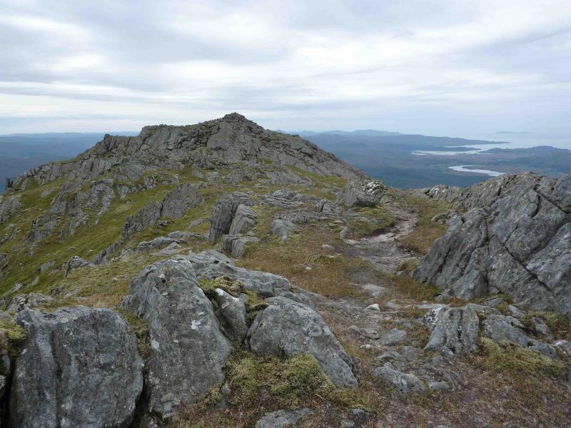
(1) Walk up the minor road which becomes a gravel track then a sandy dirt track after the plantation. Continue to the junction at NM 813 633 and fork left, signposted Polloch, up a path/track which can be quite boggy in its lower reaches. Follow the path/track, climbing gently, to its summit where there is a large cairn on the right with another cairn about 100 m further. Descend, on the path, for about 300 m towards Polloch until a small cairn is reached on the left which marks the start of a faint path. This point is also recognisable by there being two rusty old gate posts about 30 m along it which are clearly visible from the main path. Follow the faint path, not easy in places, towards the prominent E ridge of Beinn Resipol. The path hardly climbs and contours around any small hillock in its way. If followed correctly, another pair of rusty old gate posts should be met just before the ground steepens. Continue on the path, now climbing steadily, past a few more, very widely spaced, single fence posts gradually trending towards the well defined E ridge. The going underfoot is generally grassy. At a level section, a small lochan is passed before another climb leads to the start of the long summit ridge. The path now becomes more distinct and passes to the left of the first top then to the right of the next two with slight dips in between. It then passes between two lochans – a tiny one on the right and an even smaller one on the left before climbing towards the actual summit. About halfway along the summit ridge there is a short level section then a short, rocky ascent to the very large summit cairn of Beinn Resipol, 845 m, with the remains of an old circular trig point nearby.
(2) Return by the same route being especially careful in mist.
Notes
(a) This walk took place on 13th May, 2010 and 1st September,2010.
(b) The walk can be shortened slightly by starting at the other end of the track in Upper Scotstown but it is exceedingly difficult to park in this area.
Photos - Hover over photo for caption. Click on to enlarge. Click on again to reduce.