Get Lost Mountaineering
You are here: Scotland » 10a Morvern, Sunart, Ardgour and Moidart » Moidart & Ardnamurchan
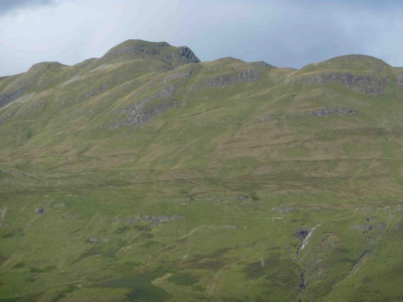
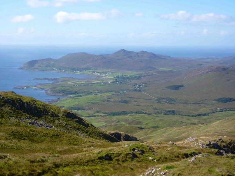
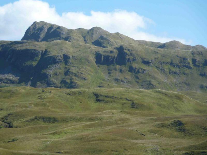
Ben Hiant
Ben Hiant, Ardnamurchan from the east.
Start/Finish
The highest point on the B8007 road at about NM 551 641. There is a track off to the right (N) at this point. About 30 m along this track is space to park a few cars.
Distance/Time
4 km. Approx 2½ hours.
Peaks
Ben Hiant, 528 m, NM 537 632. OS sheet 47.
Introduction
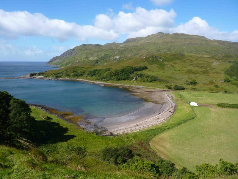
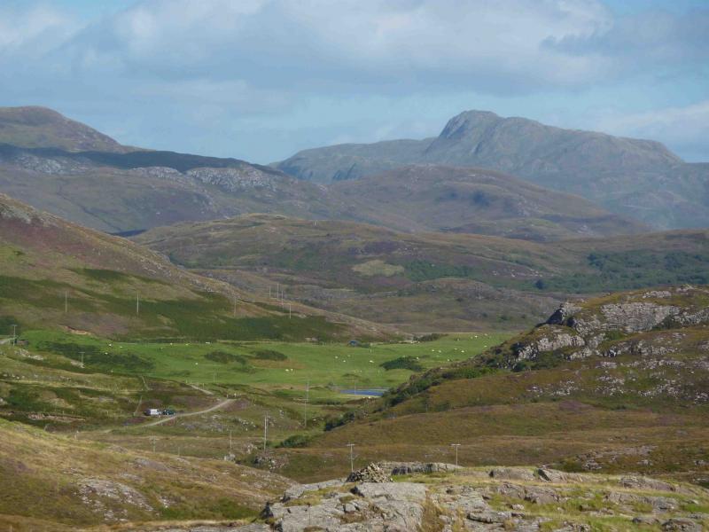
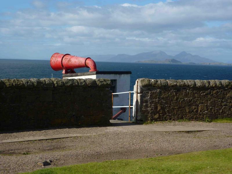
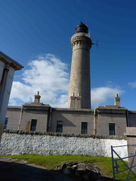
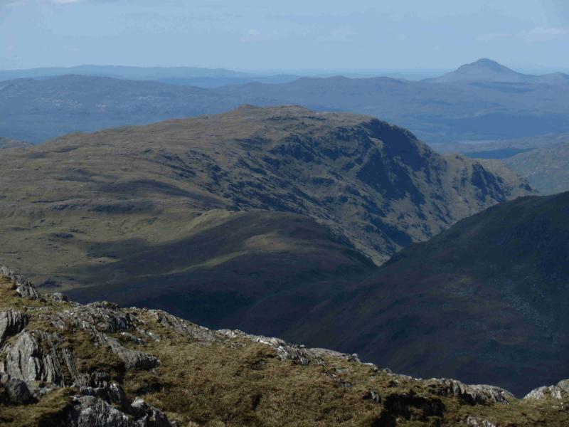
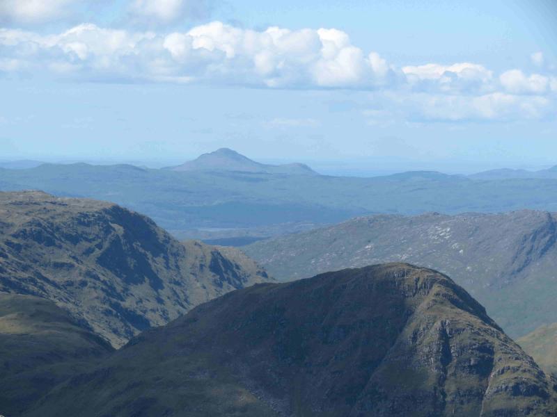
This hill dominates the Ardnamurchan peninsula so it is an excellent viewpoint, especially to Mull, Eigg and Rum. Its ascent can easily be combined with a visit to Ardnamurchan Point – the most westerly point on the UK mainland – to the beaches of Sanna Bay and to the Natural History Centre at Glenmore which is reached first on the drive from Salen. Save this walk for a good day although there are many days when it is in cloud despite its modest height. From April to October, it is possible to ascend to the top of the lighthouse at Ardnamurchan Point. There is also a museum and very good café and gift shop selling some excellent local souvenirs including paintings. This area is prime stalking country so local enquiries should be made during the stalking season (July to October). Ardnamurchan is very interesting to geologists as it contains the remains of a great volcanic ring complex. Good views of this ring can be had on the road to Sanna. On the road from Glenmore Natural History Centre, there is an excellent viewpoint for Ben Hiant just past Arslignish at NM 562 617 from where one can also see the remains of the cleared settlement of Bourblaige across the bay of Camas nan Geall. A path/track leads to this settlement further along the road at NM 553 629.
Route
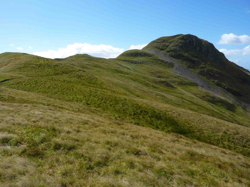
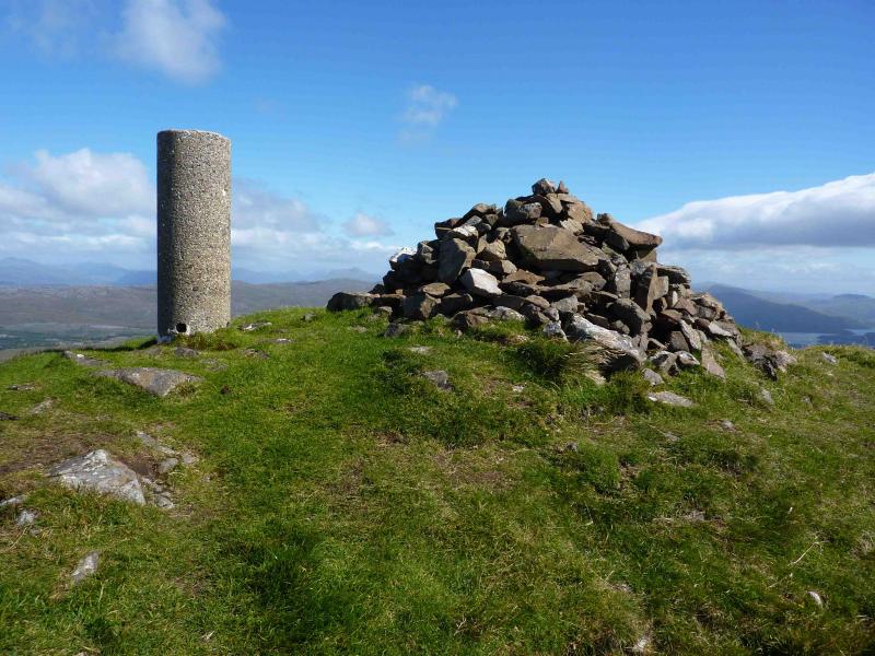
(1) Take the narrow gravel path directly opposite the track and follow it on to the NE ridge. After a short level, sometimes boggy section, this is the steepest section of the whole walk and is clearly seen from the road. The path soon becomes grassy but is easily followed as it climbs the NE ridge at a fairly gentle angle. The final rise to the summit is steeper and various routes are possible. The most obvious path goes around to the S side before ascending at an easy angle to the large cairn and trig point of Ben Hiant, 528 m.
(2) Descend by the same route.
Notes
(a) This walk took place on 28th August, 1998 , 14th March, 2010 and 25th August, 2010. Only the last date was a clear day!
Photos - Hover over photo for caption. Click on to enlarge. Click on again to reduce.