Get Lost Mountaineering
You are here: Scotland » 01 South of Oban to Stirling and Fife » Ben Lomond, Crianlarich, Balquidder and Trossachs
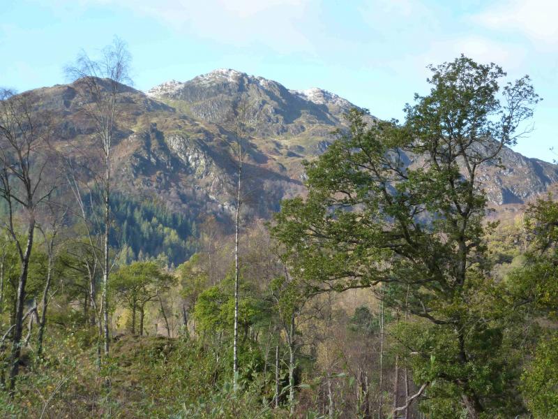
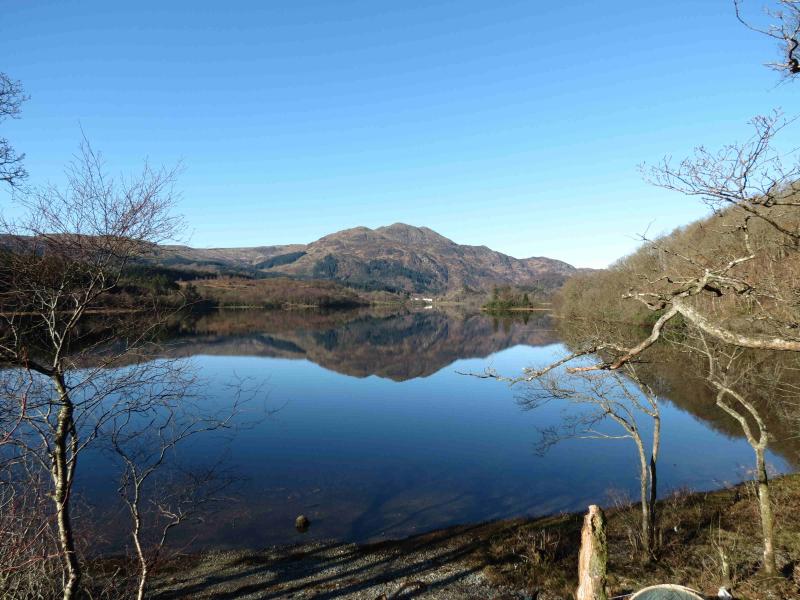
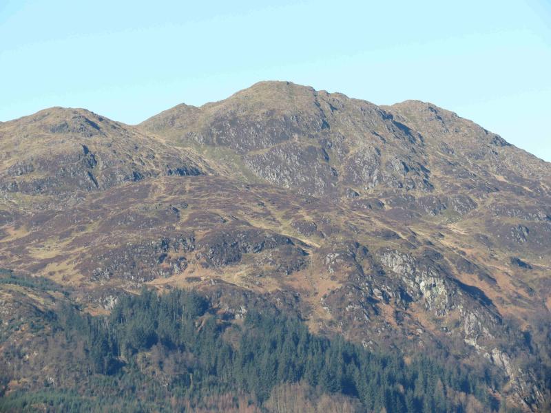
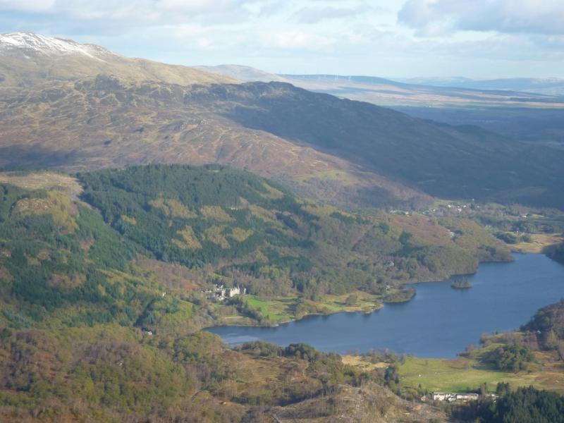
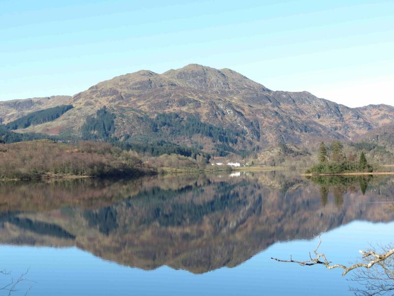
Ben Venue from Loch Achray
Ben Venue from Loch Achray
Start/Finish
Ben Venue Car Park” (actual sign) at W end of Loch Achray on A821 road from Kilmahog (Callender) to Aberfoyle road. The car park is well sign posted and, if coming from Kilmahog, is a few hundred metres after the car park for Ben An. On 19.10.11, the car park was free.
Distance/Time
12 km Approx 5 hours
Peaks
Ben Venue, 729 m, NN 474 063. OS sheet 57.
Introduction
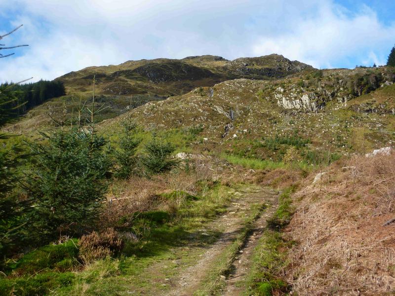
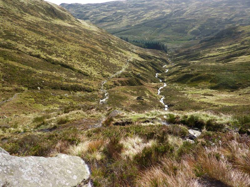
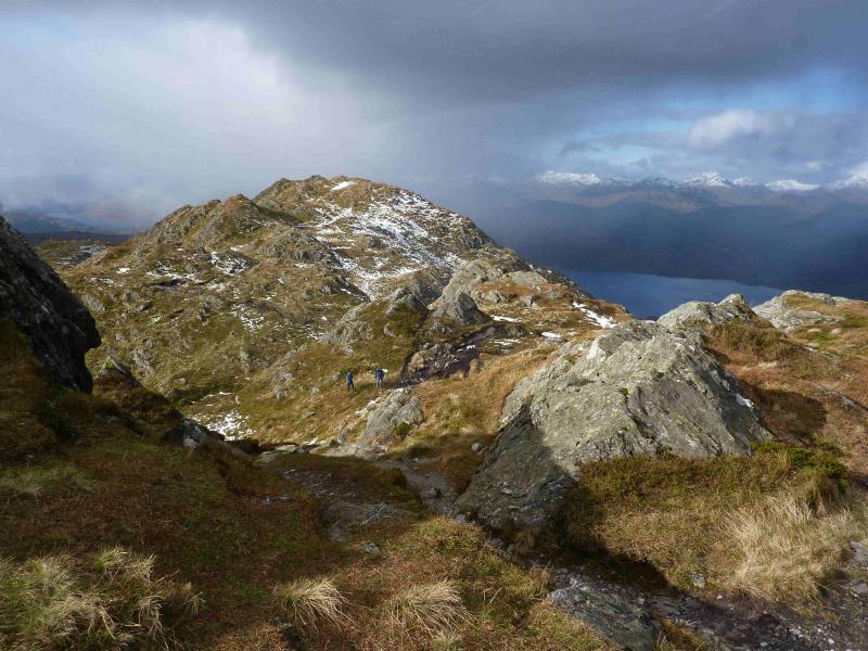
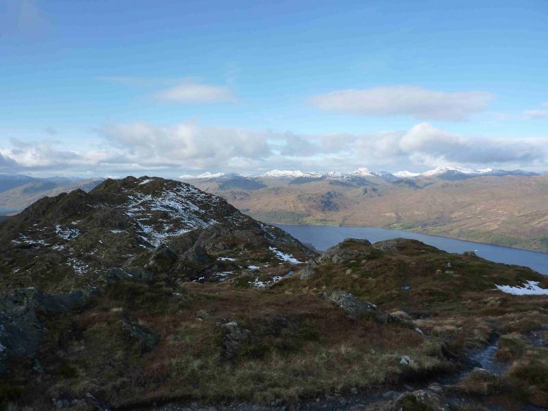
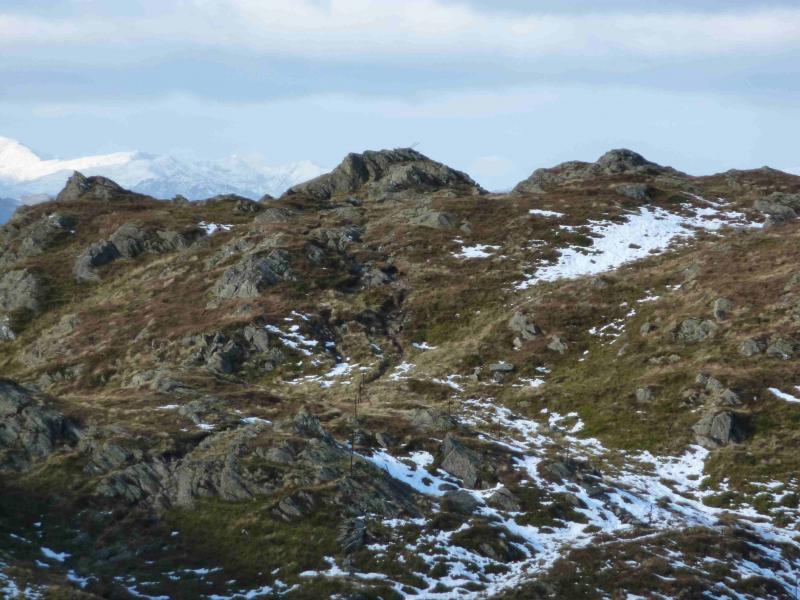
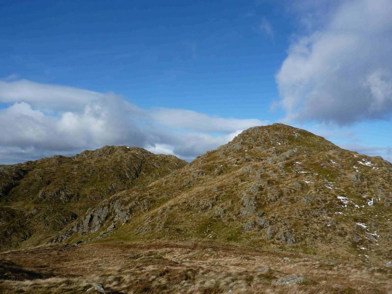
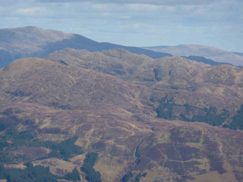
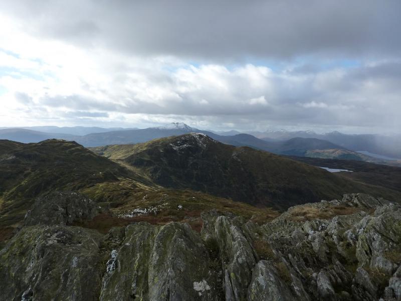
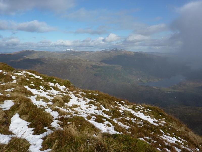
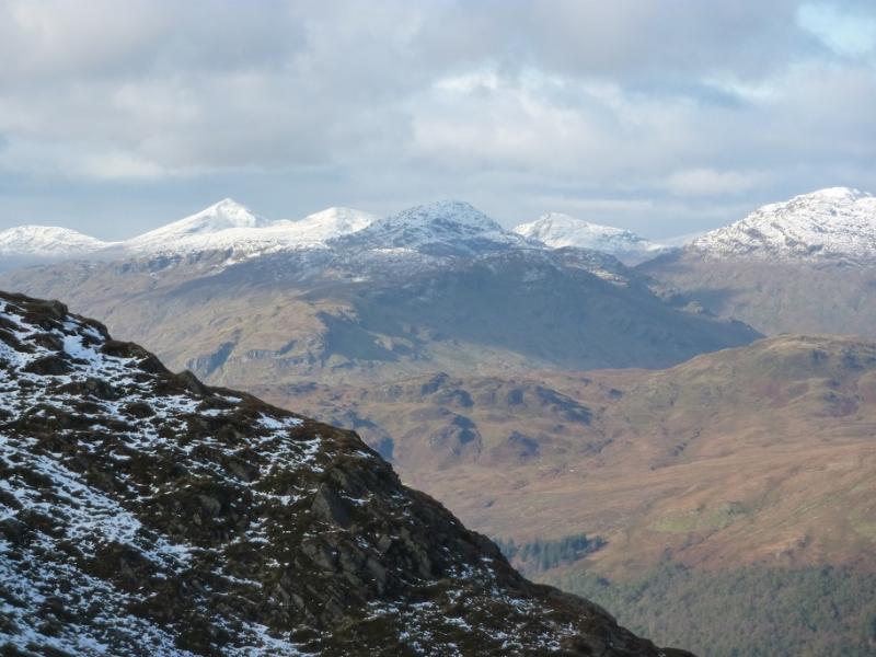
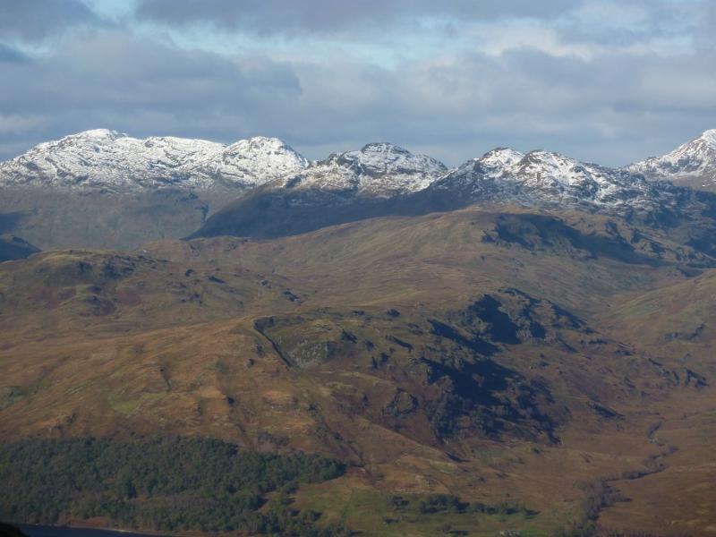
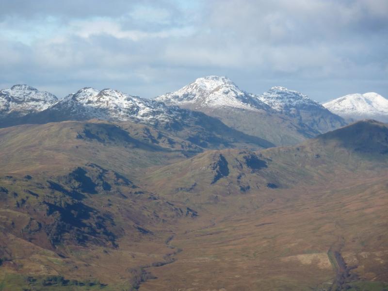
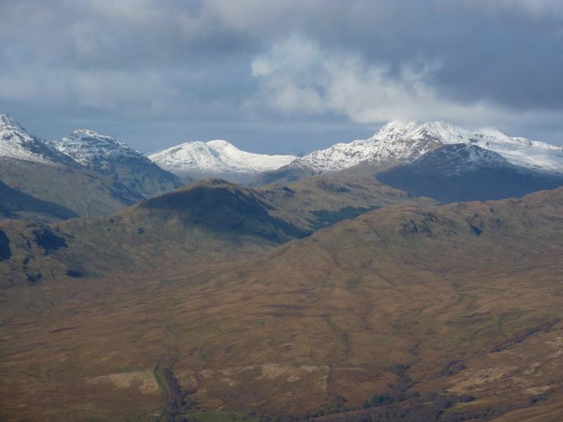
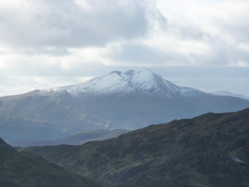
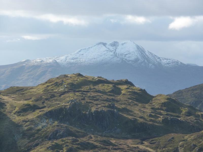
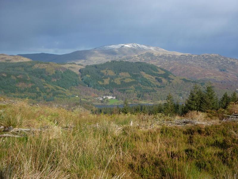
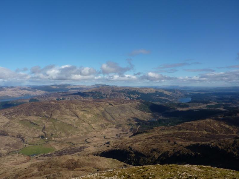
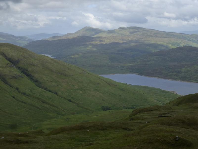
Ben Venue dominates the view when driving towards it past Loch Venachar and Loch Achray. It looks very rocky and rugged from this angle but it can be ascended quite easily. The route from Loch Achray uses forestry tracks and recently made paths which give quick and easy access, albeit in the forest so there isn't much to see, to the foot of its southern corrie at about NN 473 051. Unfortunately, from here until the final climb to the summit, there is about 1 km of horribly wet and boggy terrain – not what one would expect for such a popular mountain in such a popular area (the Trossachs). Having said that, the views from the summit are spectacular and include Ben Lomond, the Arrochar Alps, Ben Lui to the Crianlarich hills, Ben Ledi and Benvane. The car park has an information board which implies that a way marked path goes all the way to the summit. This is not the case and there are no way marks once the final section of forest is left.
Route
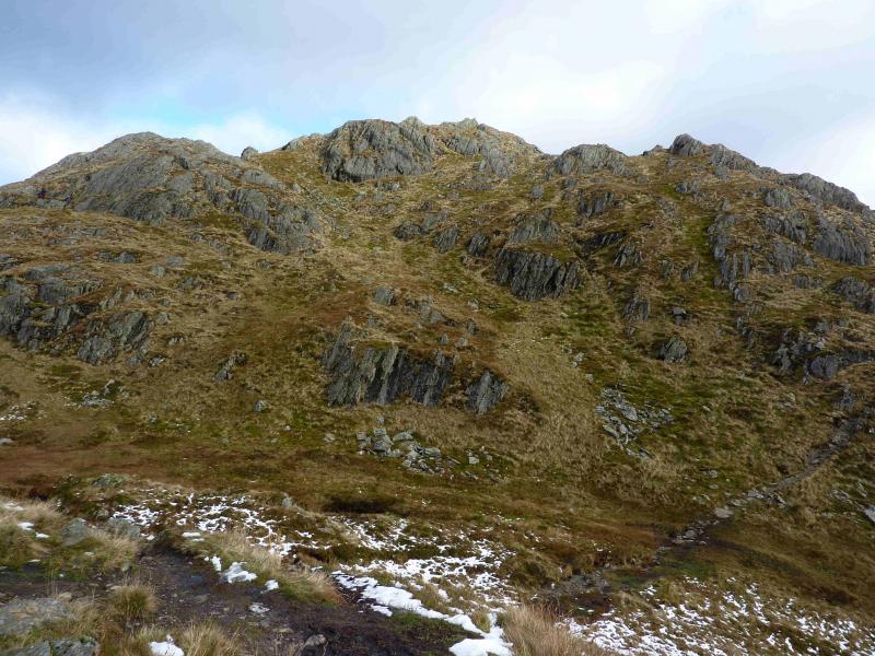
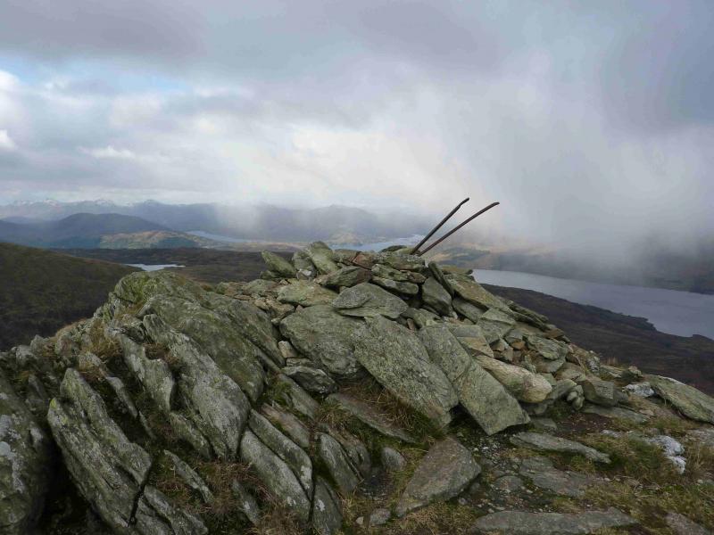
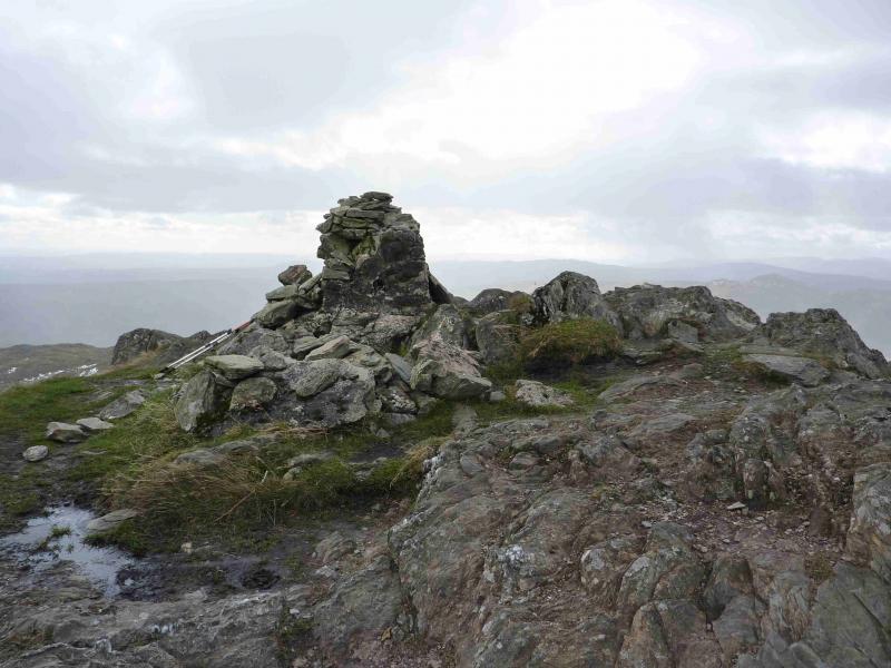
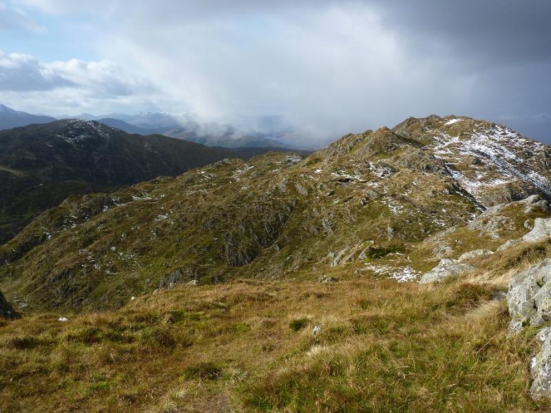
(1) The path leaves the top right corner of the car park – don't follow the one from the left hand corner! On 19.10.11, it was colour coded blue on the way marking posts. Follow this path, mainly dry, until it joins (go left) a tarmac road which heads towards Loch Katrine Dam. Walk along the road for some distance (no reassuring way marking posts, apart from where the road is joined) until a way marked path leads off left and crosses the river by a bridge. Continue following the way mark signs which take one along the river before turning left uphill through the forest. Other junctions follow which are well posted, one of them even has a proper finger board sign. After much forest walking, one temporarily emerges from the forest on a path which shadows the track it left for some distance. Not far along this “open” path there is a section of long cleared trees on the right. This is after some new planting and just before the final section of mature forest. Note this cleared section as it will be used in descent. Continue on the path to the end of the forest and emerge low down in an open corrie. The route from here to the SW ridge of Ben Venue is very wet and boggy and the ground shows extensive evidence of a multitude of avoidance routes. Even when the corrie floor is left, it is still boggy as one climbs towards the ridge. Eventually, a very large cairn is reached on the SW ridge. This is where the route from Ledard, Loch Ard, joins this route. Go right here, on the obvious path, steep in places and sometimes boggy, and climb the NW ridge. A large, but low cairn, on the top marks the summit of Ben Venue, 729 m.
(2) From the summit, a good path leads SE down into a bealach then up the other side to reach the SE top of Ben Venue, 727 m, where there are the remains of a trig point.
(3) From the top, a path leads roughly S down a, mainly, grassy ridge. This can be followed for some distance. It soon trends slightly towards SE before petering out. One can then descend good ground and, eventually, come out at the old cleared section of forest referred to earlier. The stream running through this section can be a useful guide. A low fence is easily crossed lower down just before reaching the cleared forest which can be walked through without any real difficulties as it was cleared years ago. The final section of mature forest on the ascent can be used as a guide in locating this cleared section as can the forestry track from which the “open path” branched off. The path itself is not easily seen until one is close to it but the track beyond the path is more obvious Once reached, one retraces the outward route..
Notes
(a) This walk took place on 19th October, 2011.
(b) In misty conditions, the descent described above would need careful navigation and some would prefer to retrace the outward route but perhaps drop down more directly from the SE top to avoid much of the boggy ground.
(c) The alternative ascent from Ledard was walked on 20th February, 2002. This follows a path on the E side of the Ledard Burn before crossing and turning NE, passing between Beinn Bhreac and Creag a' Bhealaich before reaching the very large cairn referred to above. This path can also be boggy in its higher reaches especially around the area where it crosses the burn.
(d) Other routes are outlined in The SMC “Corbetts” book but have not been checked out.
(e) Some additional archive photos were added in August, 2021.
Photos - Hover over photo for caption. Click on to enlarge. Click on again to reduce.