Get Lost Mountaineering
You are here: Scotland » 10a Morvern, Sunart, Ardgour and Moidart » South of Glen Tarbert
Beinn na Cille, Fuar Bheinn & Creach Bheinn (Glen Galmadale Horseshoe) Glen Galmadale Horseshoe
Beinn na Cille, Fuar Bheinn & Creach Bheinn (Glen Galmadale Horseshoe) from near Kingairloch via Corran Ferry (Loch Linnhe)
Start/Finish
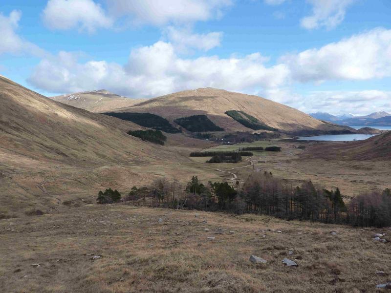
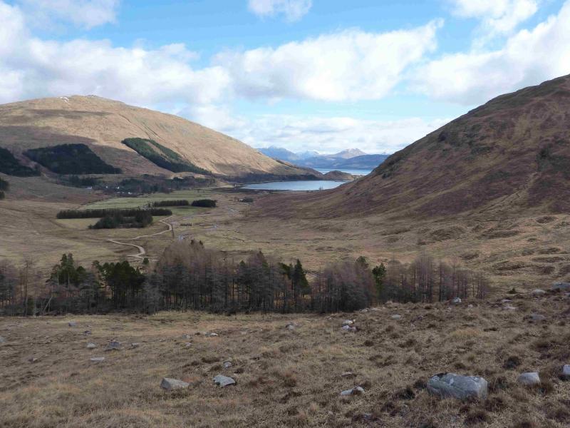
Back of the passing place at NM 863 529 just before the wood after crossing Glengalmadale bridge. From the Corran Ferry, drive S towards Strontian but turn off left, S, when the road leaves Loch Linnhe and follow the signs for Kingairloch. This walk starts just before Kingairloch is reached.
Distance/Time
16 km . Approx 8 hours.
Peaks
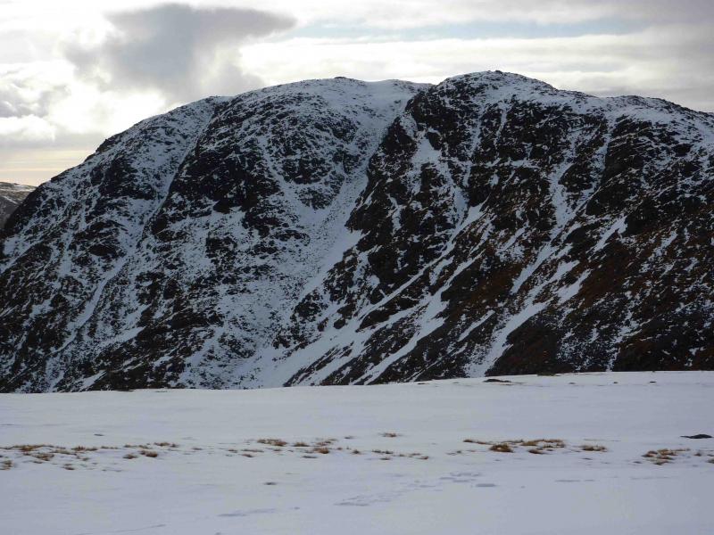
Beinn na Cille, 652 m, NM 854 542.
Fuar Bheinn, 766 m, NM 853 563.
Creach Bheinn, 853 m, NM 870 576. OS sheet 49.
Introduction
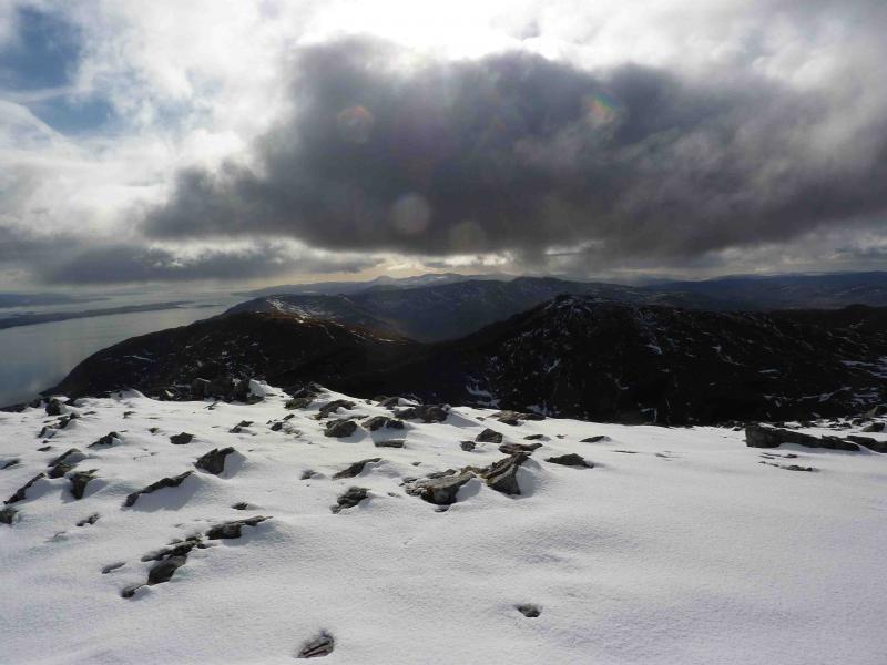
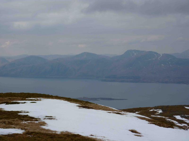
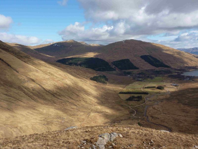
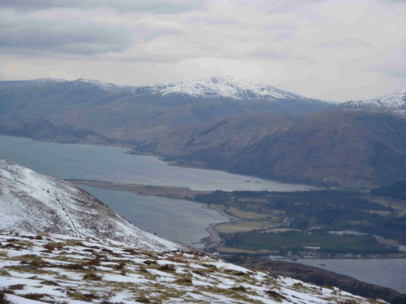
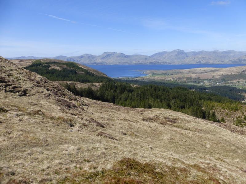
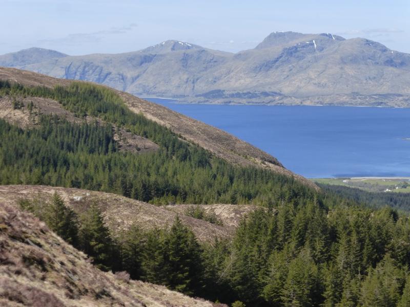
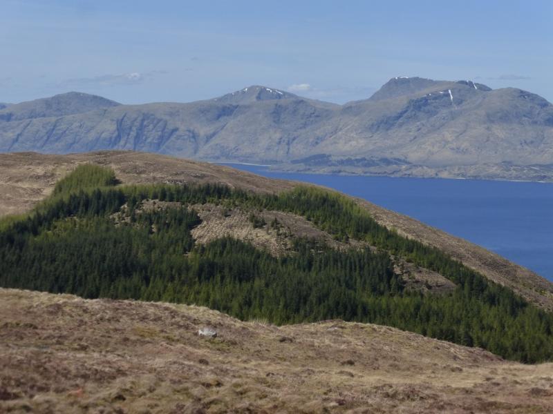
A very strenuous walk over 1 Graham and 2 Corbetts, mainly on grass, which gives excellent views of the surrounding mountains including Mull, across Loch Linnhe, where almost the entire western seaboard can be seen, and even the Paps of Jura. It is worth saving these mountains for a good day. There is little in the way of paths on this walk.
Route
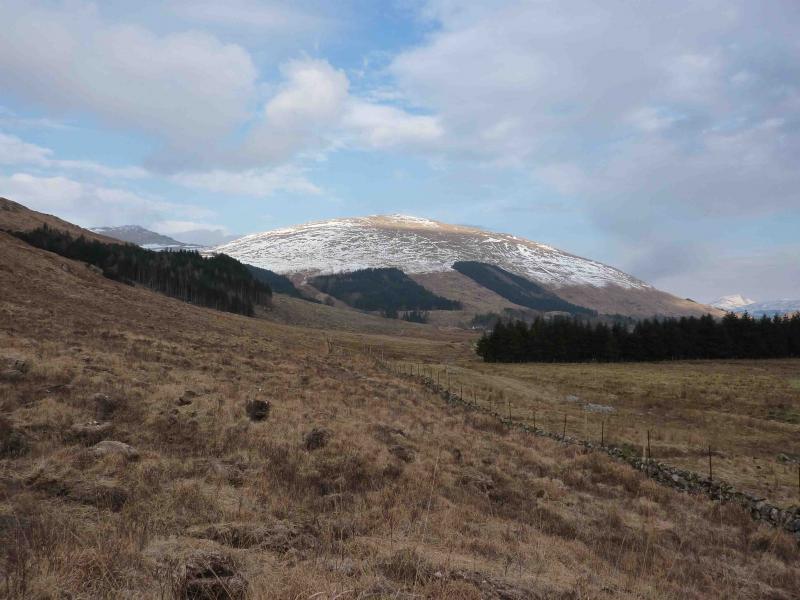
(1) Ascend steep grass between the forest and the burn. If this looks too steep, ascend the other side of the forest further up the road. At the top of the forest, trend left to join the grassy SE ridge to reach the large summit cairn of Beinn na Cille, 652 m.
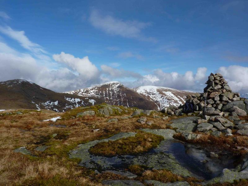
(2) Descend NNW then N to a wide grassy bealach. A burn in a wide gully running due N is a good pointer. Ascend N then NNW on easy grassy slopes to the large summit cairn of Fuar Bheinn, 766 m.
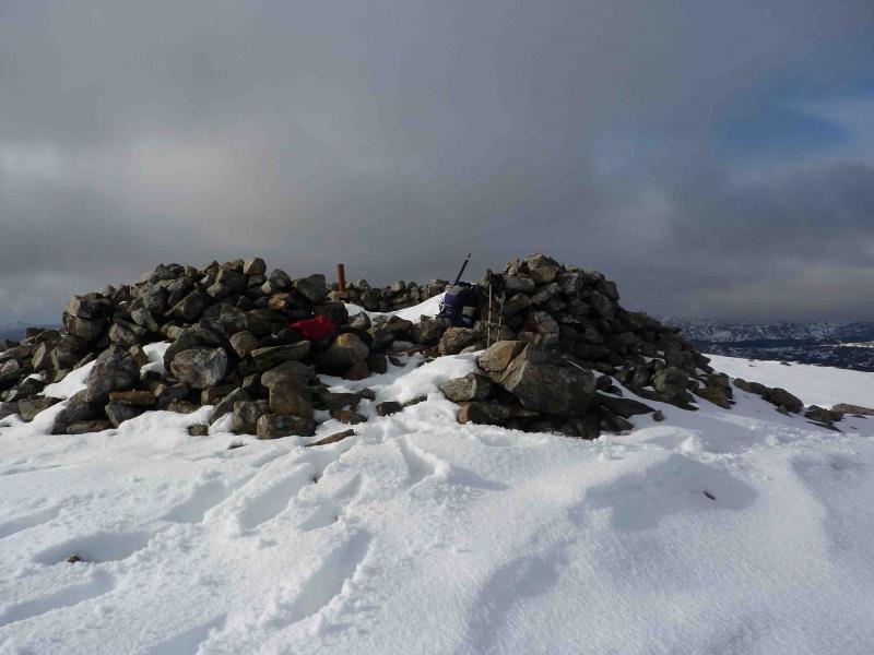
(3) Descend NW on a grassy ridge for about 600 m then go NE down easy grassy slopes to a very wide grassy bealach. Ascend easy grassy, then stony, slopes NE then E to the walled cairn of Creach Bheinn, 853 m.
(4) Descend a few metres NNE to a hollow with some old stony enclosures in it which is marked as “Camp” on the map. Ascend the other side then follow the easy ridge NE then E (becomes slightly rockier but no difficulties) down to a well defined bealach. Ascend the other side E then SE to the rounded top of Meall Odhar.
(5) Descend SSE then almost due S on easy slopes to an undulating grassy ridge which goes over Meall nan Each and a few other lower tops. Continue down the ridge to the telegraph poles then pick a way down to the road.
Notes
(a) This walk took place on 22nd July, 2000 and 6th March, 2010.
(b) An alternative descent is to descend almost due S from the summit of Meall Odhar then walk back down Glen Galmadale.
Photos - Hover over photo for caption. Click on to enlarge. Click on again to reduce.