Get Lost Mountaineering
You are here: Scotland » 10a Morvern, Sunart, Ardgour and Moidart » Loch Linnhe to Loch Shiel
Meall nan Damh and Glas Bheinn
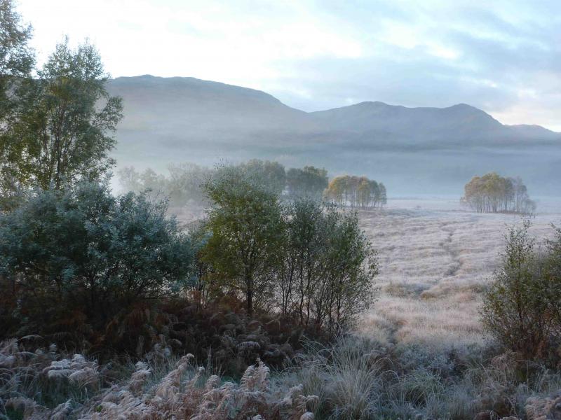
Meall nan Damh and Glas Bheinn from Callop
Start/Finish
Car park about 800 m N of Callop. Coming from the Fort William direction along the A 830 towards Mallaig, go under the railway bridge about 2 miles before Glenfinnan. About 300 m further, turn left along a gravel track and follow this round to a car park on the right.
Distance/Time
14 km . Approx 7 hours.
Peaks
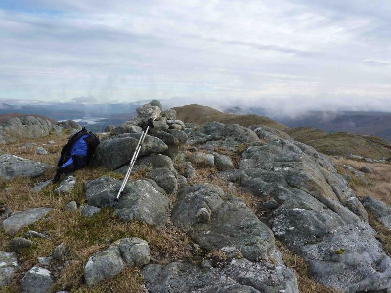
Meall nan Damh, 723 m, NM 919 745.
Glas Bheinn, 636 m, NM 938 758. OS sheet 40.
Introduction
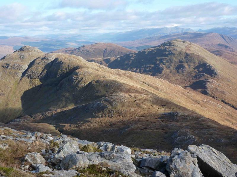
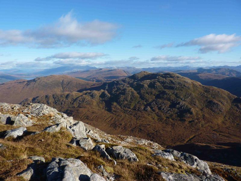
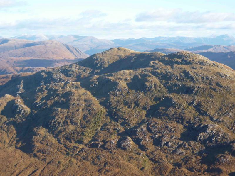
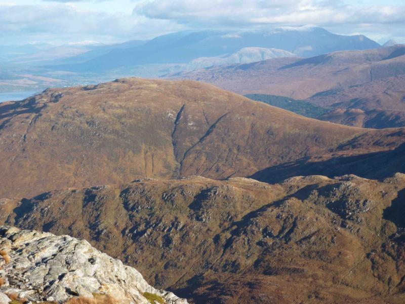
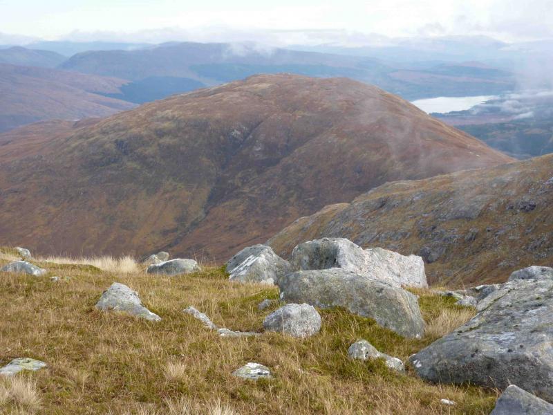
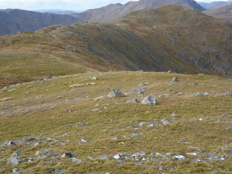
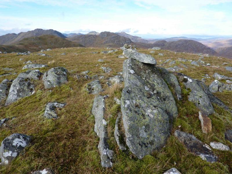
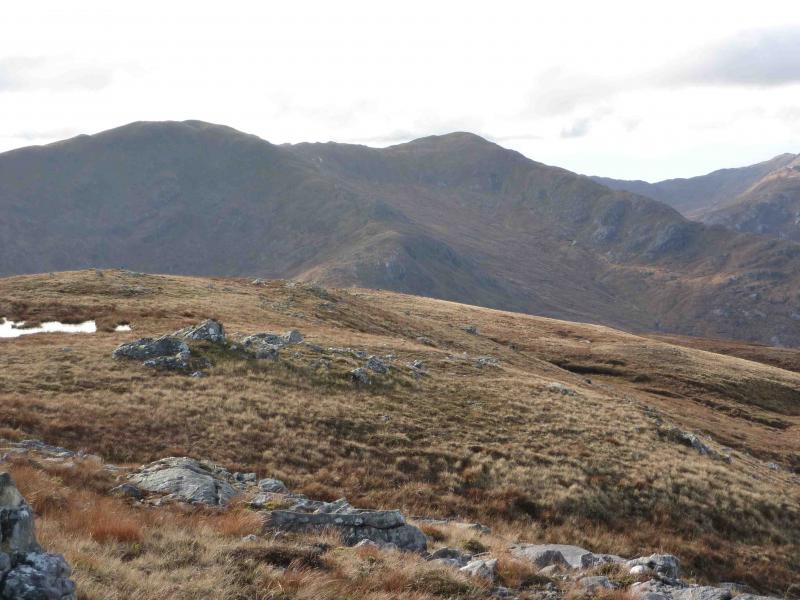
A pleasant walk over 2 Grahams, which gives excellent views of the surrounding mountains including Corryhully, Ardgour, Ben Nevis, Mamores and even Skye. It is worth saving these mountains for a good day. There is little in the way of paths on parts of this walk.
Route
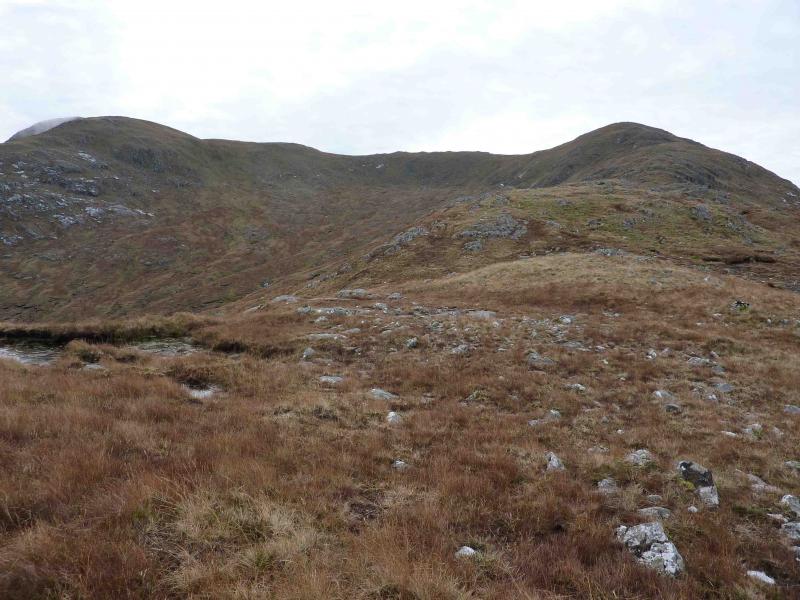
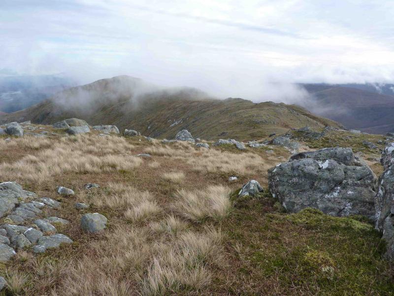
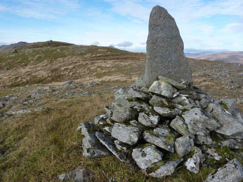
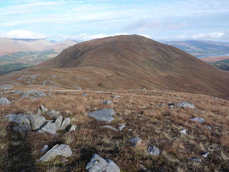
(1) From the car park, turn left and follow the track S for about 2 km past the buildings at Callop almost to its end where about 200 m before the small hydro dam is a rough track going downhill to a bridge with a gate beyond. Take this track, cross the bridge and go through the gate to reach a rough boggy track which skirts the edge of the conifers to end at a gate just before another small hydro dam. Go through the gate and ascend slightly to another gate in a deer fence which gives access to the open hill. Aim for the obvious ridge ahead and once on it, follow its crest easily SW to reach the small cairn which is the W top of Meall nan Damh. Descend slightly ESE and follow the pleasant undulating ridge to a very small cairn on a rock which is the summit of Meall nan Damh, 723 m. A lower, but larger, finger cairn sits about 100 m further on.
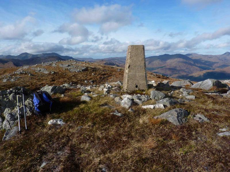
(2) Descend E then NE down gentle grassy slopes to reach a grassy bealach. Ascend NE up easy grassy slopes to reach the trig point. The actual top of Glas Bheinn, 636 m, is about 100 m to the NW and has no cairn.
(3) Descend NW down easy grassy slopes, heading for the SW corner of the conifer plantation and rejoin the outward boggy forestry track at the small hydro dam. A deer fence may have to be climbed to reach the dam. Follow the forestry track back to the main track and then, past Callop, back to the start.
Notes
(a) This walk took place on 25th October, 2010.
(b) On the outward leg, it is possible to cross the bridge and turn right to access the NE ridge more directly rather than following the boggy track.
(c) Resist the temptation to go through the forest in the descent of Glas Bheinn. Local information indicates that the fire breaks are very boggy, especially near the lochan.
Photos - Hover over photo for caption. Click on to enlarge. Click on again to reduce.