Get Lost Mountaineering
You are here: Scotland » 10a Morvern, Sunart, Ardgour and Moidart » Loch Linnhe to Loch Shiel
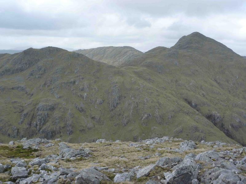
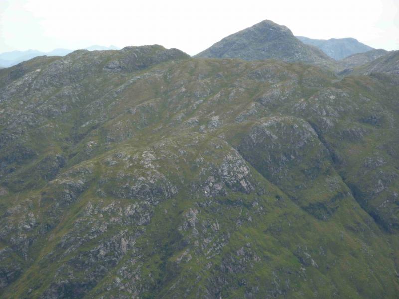
Sgurr Dhomhnuill
Sgurr Dhomhnuill from Ariundle Nature Reserve near Strontian
Start/Finish
Ariundle Nature Reserve car park, north of Strontian. From Corran Ferry, drive south then west. Go just past the centre of Strontian. Cross the old bridge then turn right for Polloch. The nature reserve is signposted at a fork after about a mile.
Distance/Time
19 km (8 km can be cycled). Approx 6 hours.
Peaks
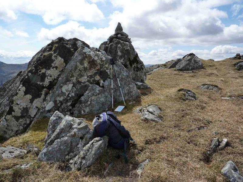
Sgurr na h-Ighinn, 766 m, NM 887 668.
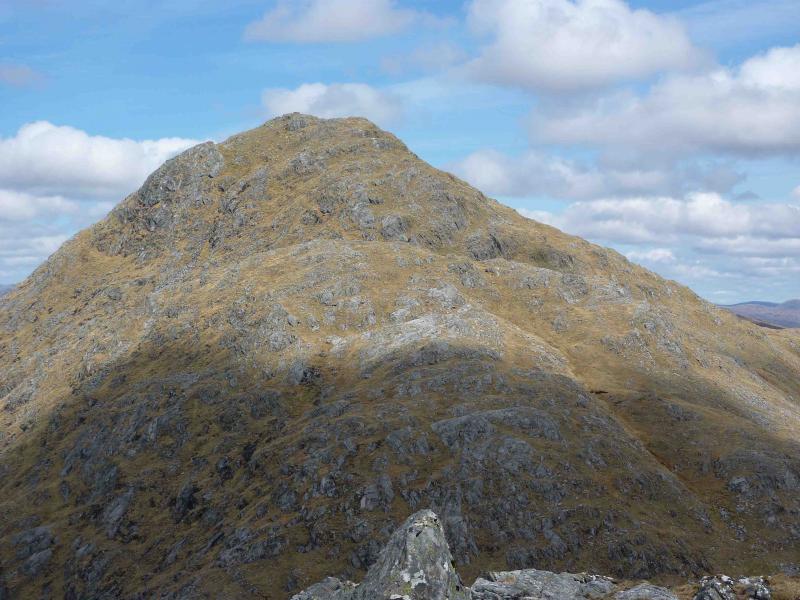
Sgurr Dhomhnuill, 888 m, NM 889 678. OS sheet 40.
Introduction
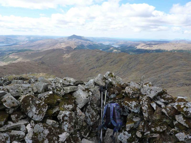
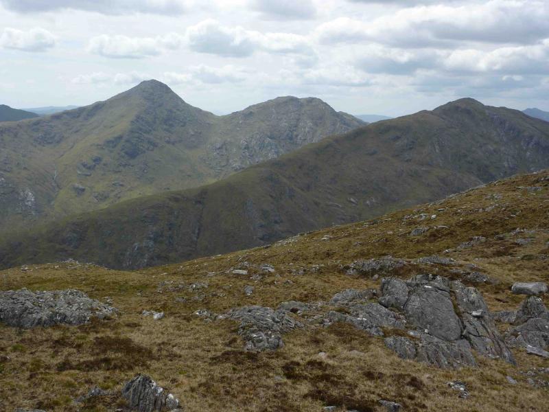
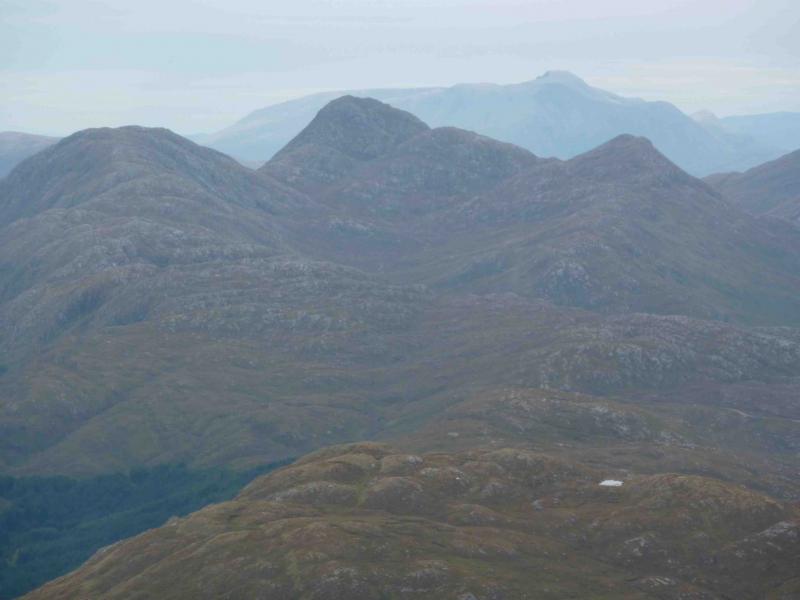
The height of Sgurr Dhomhnuill means that this could be called “the three fat ladies” walk! Sgurr Dhomhnuill is the highest peak in Argour and, indeed, there is no higher peak in the whole peninsula of Morven, Sunart, Ardgour and Moidart. Although high enough to be a Corbett, Sgurr na h-Ighinn does not have enough relative drop to qualify. Nevertheless, it is a fine rocky peak. Both peaks are very fine viewpoints, even to Skye and Rum.
Route
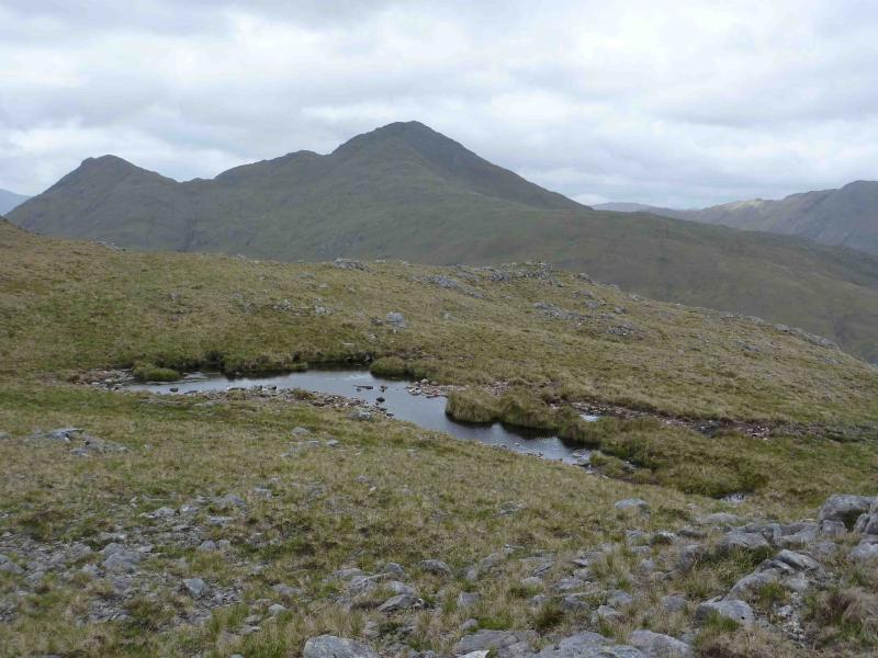
(1) Cycle or walk along the track beyond the car park. When it forks, after a gate, take the upper track. The track can be quite stony in places and do not be surprised to see the odd blown down tree across it. At the next gate, with a pedestrian gate on its right, leave the bicycle and walk about another 50 metres to a small gate before a bridge where the track ends. Cross the bridge and follow an obvious footpath for about a kilometre until some obvious old workings are reached. A path goes off right here, crosses the river on large stepping stones (should not be a problem in spate) and an obvious path climbs up the opposite bank. Follow this as it heads towards a traverse of the S side of Druim Leac a’ Sgiathain. Leave the path as soon as it passes the first nose to the N and ascend a grassy ridge with easy rocky outcrops. Here and there are signs of a path being formed and it is quite distinct in places. Generally, stay on the easy crest past a small lochan (shown on map) then ascend more steeply to Sgurr na h-Ighinn, 766 m, where there is a small cairn with another close by on a rock.
(2) Descend NE down easy grassy slopes keeping to the left of an obvious shallow grassy gully which soon appears to reach a stony bealach below Sgurr Dhomnhuill. Ascend N, climbing about 200 metres, on a mainly distinct path with plenty of opportunities for scrambling to the left, to reach the summit shelter cairn of Sgurr Dhomhnuill, 888 m.
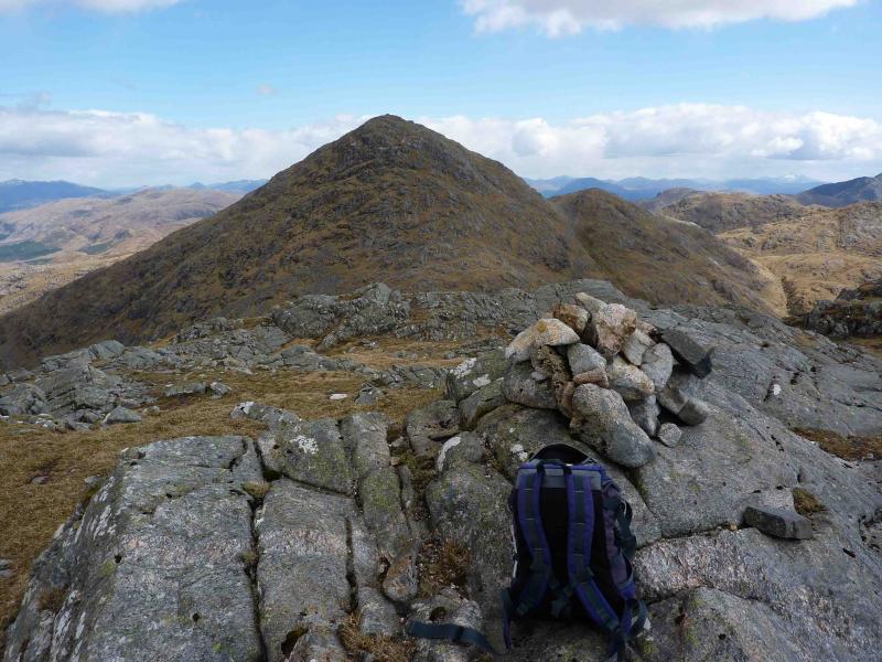
(3) Descend carefully NW down steepening grassy slopes with rocky/slabby outcrops to reach a bealach. Climb NW on a faint path to Pt. 803 where there is a small cairn.
(4) Descend WNW (towards Ben Resipol) on a faint intermittent path which undulates along a ridge with attractive outcrops and lochans. Descend any grassy gully to reach the glen which can be boggy. Walk back to the old workings then retrace back to the start.
Notes
(a) This walk took place on 31st August, 1998 and 12th May, 2010.
Photos - Hover over photo for caption. Click on to enlarge. Click on again to reduce.