Get Lost Mountaineering
You are here: Scotland » 10a Morvern, Sunart, Ardgour and Moidart » Loch Linnhe to Loch Shiel
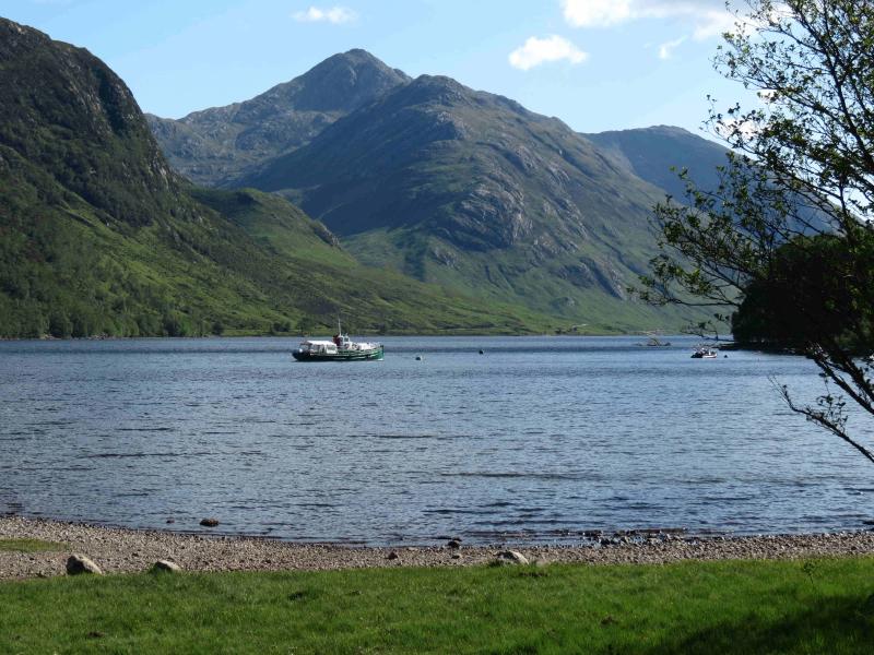
Sgurr Ghiubhsachain and Sgurr Craobh a' Chaorainn
Sgurr Ghiubhsachain and Sgurr Craobh a’ Chaorainn from Callop
Start/Finish
Car park about 800 m N of Callop. Coming from the Fort William direction along the A 830 towards Mallaig, go under the railway bridge about 2 miles before Glenfinnan. About 300 m further, turn left along a gravel track and follow this round to a car park on the right.
Distance/Time
16 km . Approx 8 hours.
Peaks
Meall a’ Choire Chruinn, 634 m, NM 879 762.
Sgurr Ghiubhsachain, 849 m, NM 875 571.
Sgurr Craobh a’ Chaorainn, 775 m, NM 895 758. OS sheet 40.
Introduction
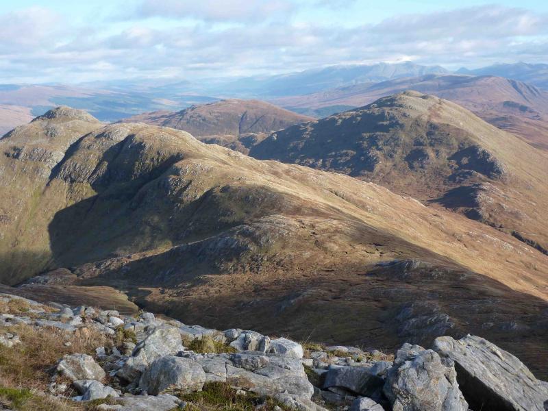
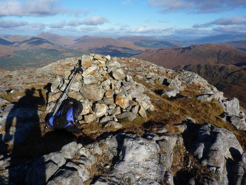
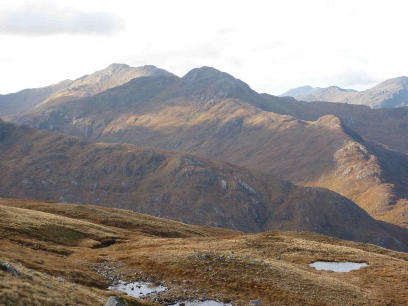
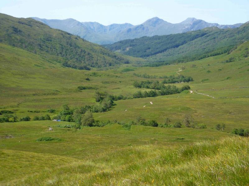
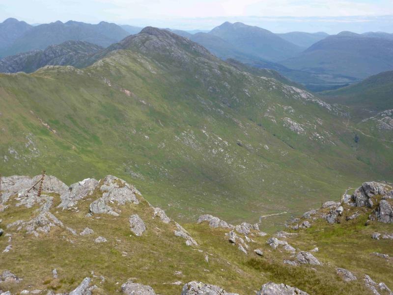
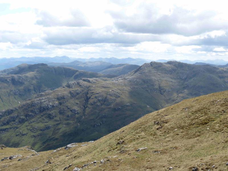
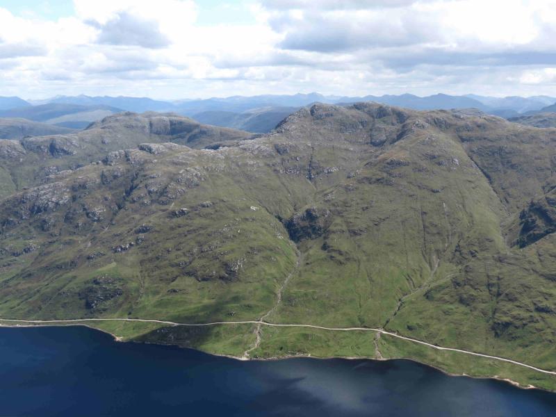
A fairly strenuous walk over 2 Corbetts, which gives excellent views of the surrounding mountains including Corryhully, Ardgour, Ben Nevis, Mamores and even Skye. It is worth saving these mountains for a good day not just because of the views but also because navigation would be quite demanding in mist. There is little in the way of paths on parts of this walk.
Route
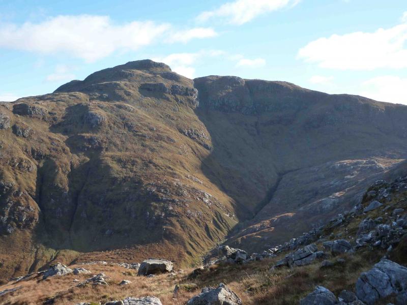
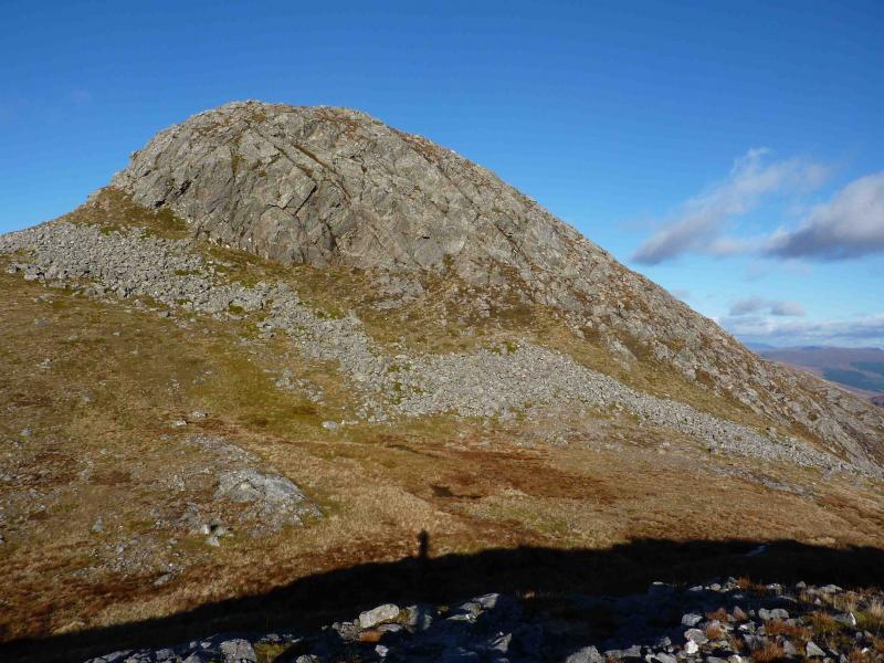
(1) From the car park, turn right, signposted Polloch (which is at the far end of Loch Shiel) and follow it initially NW towards Glenfinnan then SW along the E side of Loch Shiel until the old cottage at Guesachan is reached. Cross the bridge just past the cottage and follow a boggy ATV track up the side of the burn, for a short distance, until an obvious ridge going SSW can be gained. Follow this undulating ridge over Meall a’ Choire Chruinn, 634 m. There are a few significant descents on this ridge. Be wary of “paths” which seem to traverse the right, W, flank; it is better to stay on the crest as much as possible. The slopes are quite rocky but there are many grassy ramps which allow any difficulties to be avoided. A final steep climb leads to a short level ridge, at the end of which is the large, unmistakeable cairn of Sgurr Ghiubhsachain, 849 m.
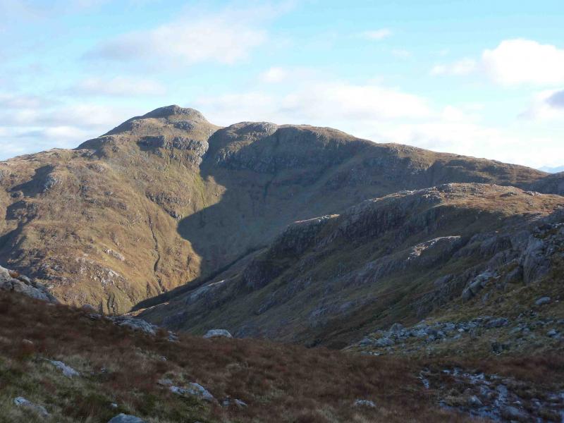
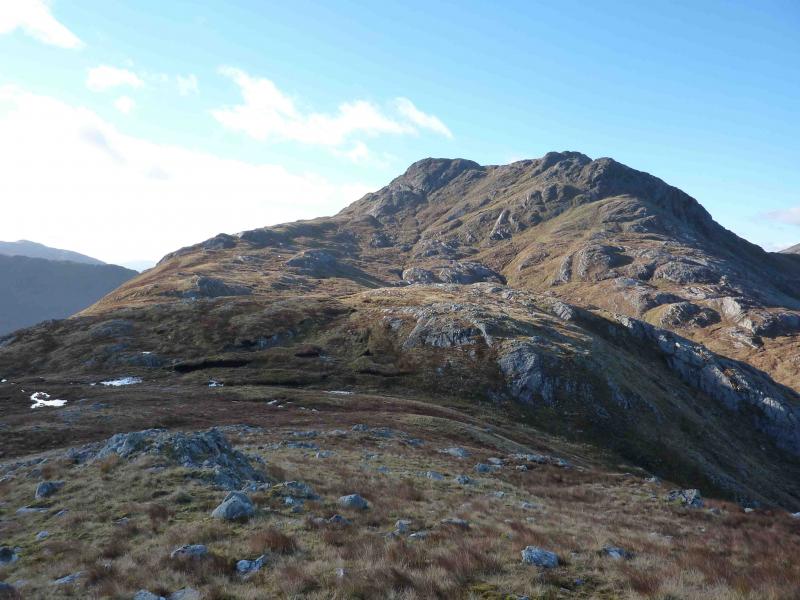
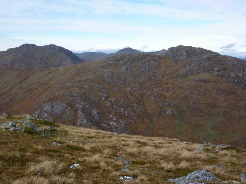
(2) Descend steeply ESE down grassy/rocky slopes with the odd awkward slab. Many different lines are possible to reach the wide grassy bealach. Ascend E then NE up a pleasant grassy ridge. The final climb has a steep rock face seemingly barring the way but it is not as difficult as it looks and many scrambling lines are possible. To avoid the rock, go around to the right, E, and carefully pick a way up. All routes lead to the medium summit cairn of Sgurr Craobh a’ Chaorainn, 775 m.
(3) Descend NE over the pleasant top of Meall na Cuartaige to eventually reach the path above the Allt na Cruaiche. Follow this path, now deteriorating badly and quite boggy in places, down the glen to where it meets a new track at a small hydro works. Follow the track past Callop back to the start.
Notes
(a) This walk took place on 24th October, 2010.
Photos - Hover over photo for caption. Click on to enlarge. Click on again to reduce.