Get Lost Mountaineering
You are here: Scotland » 10a Morvern, Sunart, Ardgour and Moidart » Loch Linnhe to Loch Shiel
Sgurr na h-Eanchainne & Druim na Sgriodain
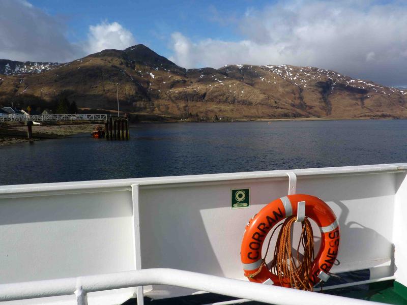
Sgurr na h-Eanchainne & Druim na Sgriodain from Corran Ferry, Ardgour.
Start/Finish
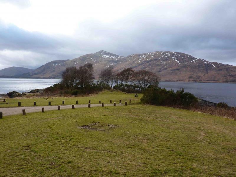
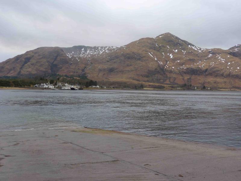
Corran Ferry on the Ardgour side of Loch Linnhe.
Distance/Time
7 km. Approx 6 hours.
Peaks
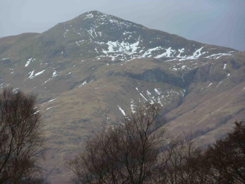
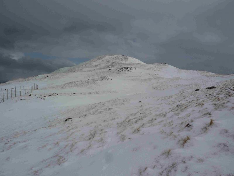
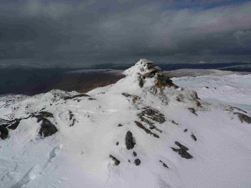
Sgurr na h-Eanchainne, 730 m, NN 996 658.
Druim na Sgriodain, 734 m, NN 978 656. OS sheets 40 & 41.
Introduction
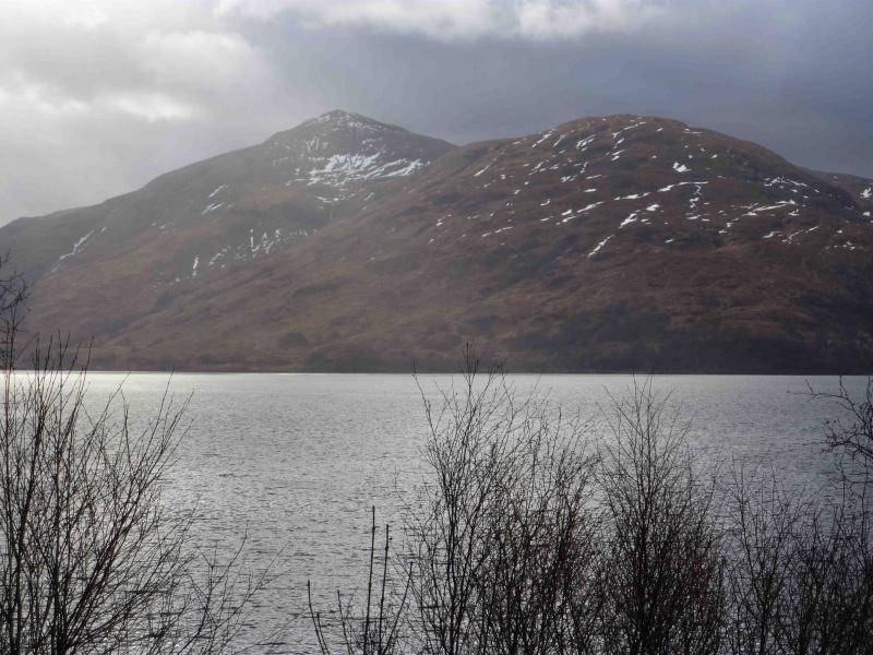
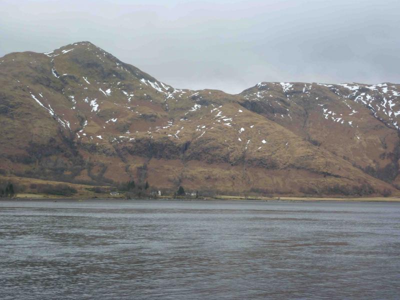
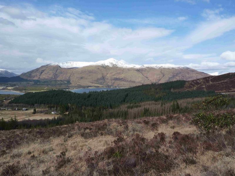
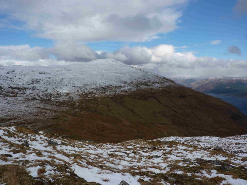
A steep ascent and descent of this pointed peak, Sgurr na h-Eanchainne, which dominates the Ardgour landscape above the Corran ferry. It is well worth saving this mountain for a good day. From these peaks, there are excellent views to Ballachulish, Glencoe, the Mamores, Ben Nevis, Garbh Bhein (Ardgour), the other hills across Loch Linnhe and Mull.
Route
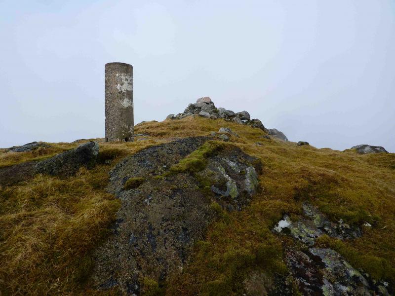
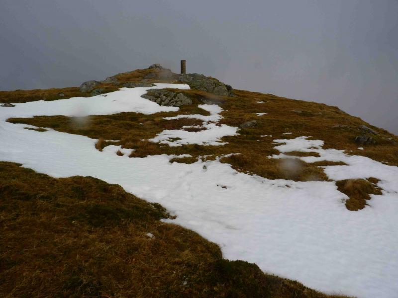
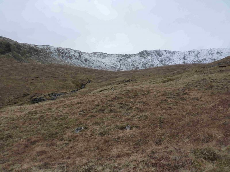
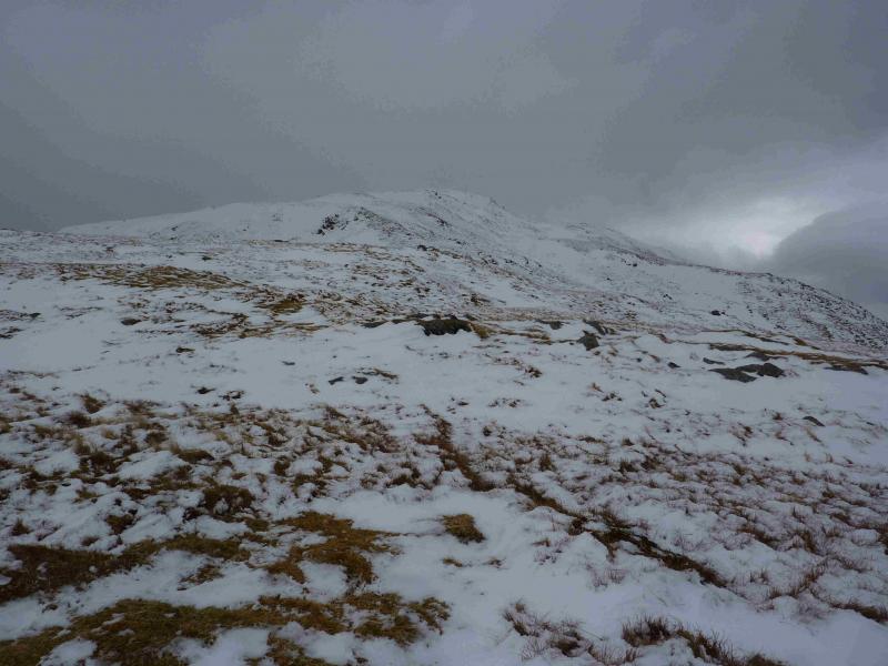
(1) From the Corran Ferry, walk N for about 2 km to the Clan Maclean burial site at about NN 012 657. Walk up the S side of the obvious burn just to the N of the burial ground. The path is distinct initially but becomes intermittent higher up. The going is mainly on steep grass with occasional gentler patches. When the ridge levels off to the E of the bealach between Sgurr na h-Eanchainne and Beinn na Cille, it is possible to cross to the SE ridge of Sgurr na h-Eanchainne by going W then S across flattish ground to outflank the very steep slopes on their SE. From there climb steep slopes to the summit. A direct assault on the NE face, even where it looks grassy, is not recommended as it is exceptionally steep. Alternatively, continue to the bealach then ascend S up easier slopes to the large cairn and summit trig point of Sgurr na h-Eanchainne, 730 m.
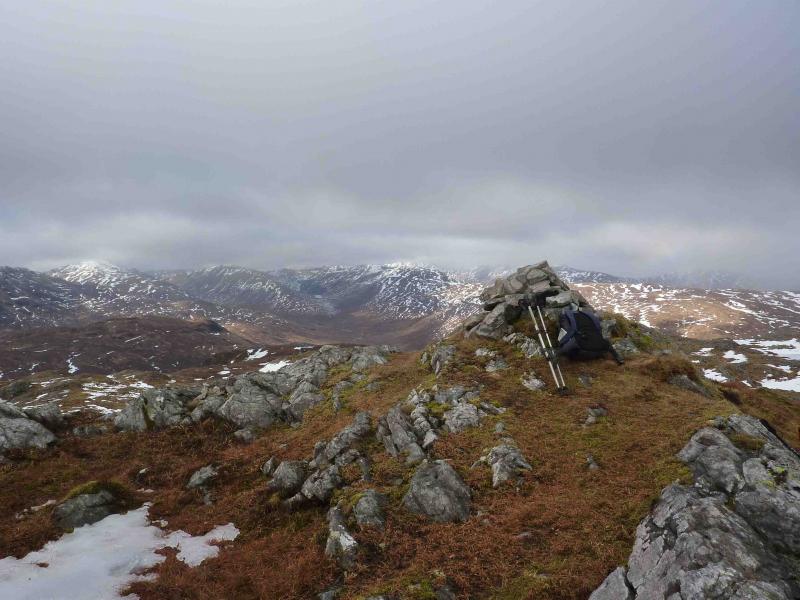
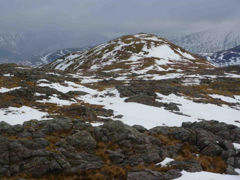
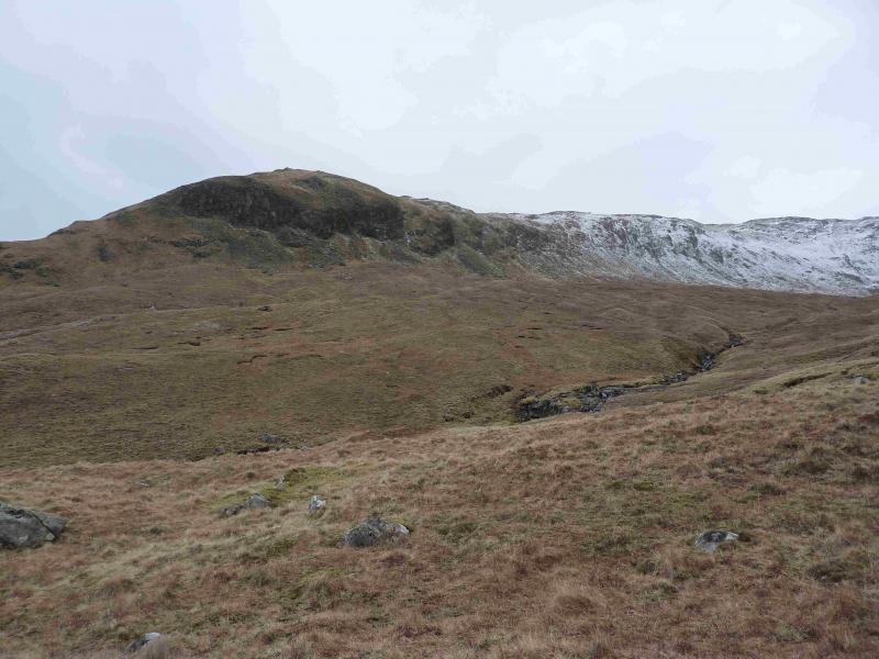
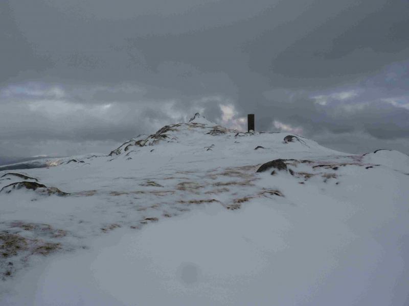
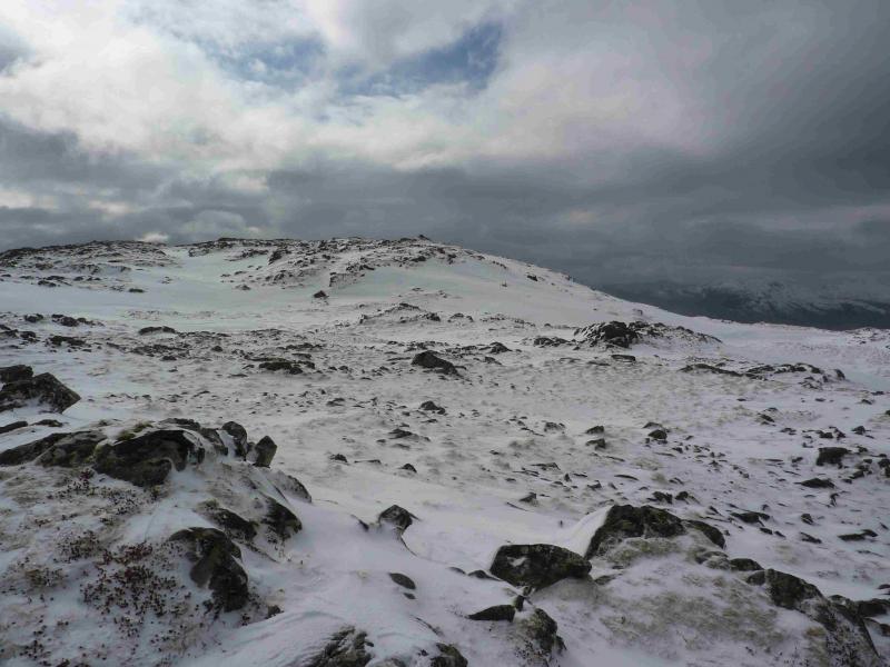
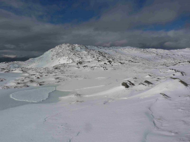
(2) Descend easy slopes W to a grassy bealach then ascend E over fairly featureless ground with many tops, via a minor top, to reach the large summit cairn of Druim na Sgriodain, 734 m, (not named on the map). This is about the furthest top from the bealach and sits at the back of 3 small lochans (at different heights) on the edge of a long ridge which looks down into Glen Gour. In mist, this top may be difficult to locate.
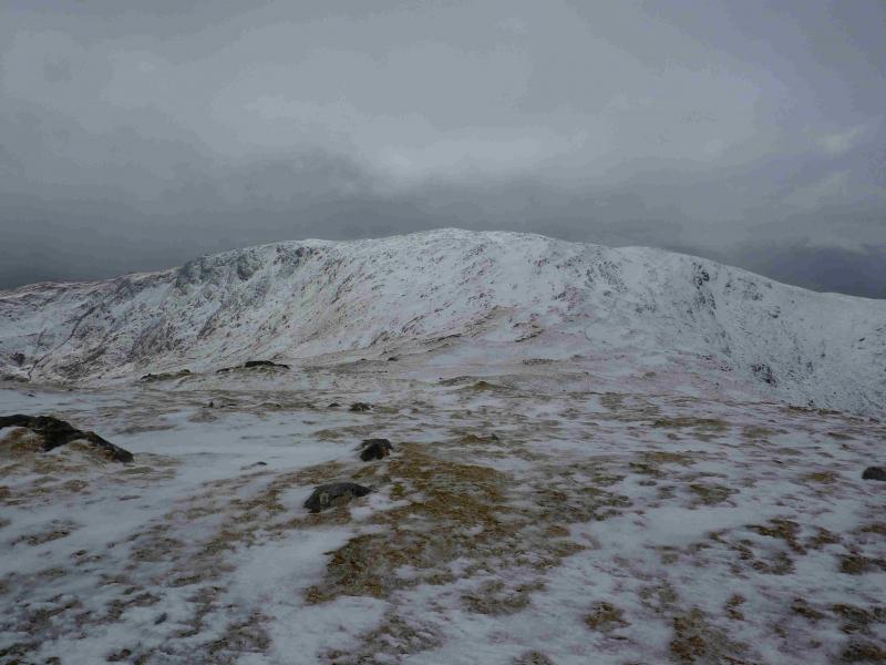
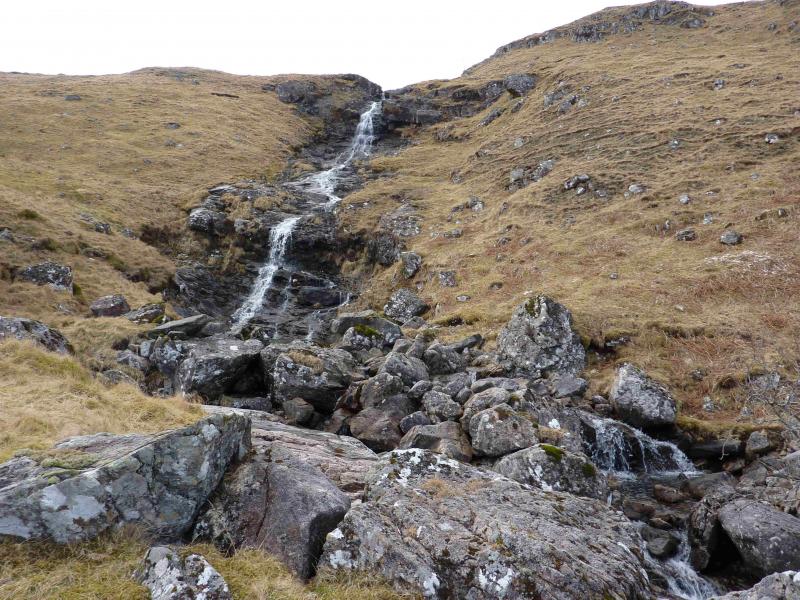
(3) Descend SW on a stony/grassy ridge, passing a cairned top to reach another cairn, above the lip of Coire Dubh, where the ridge starts to steepen considerably. There is a faint, intermittent path along this ridge. Descend to the lip of the grassy Coire Dubh making sure you are well above the water slide where the burn exits the corrie. Cross the burn to its N side and descend steep grassy slopes, taking care to avoid the occasional crag, to reach a telecommunications mast. From here, several routes are possible but the most direct is to pick a way towards the gap between Kiel House and the small lochan to its S and then rejoin the road.
Notes
(a) This walk took place on 28th October, 1999 and 13th March, 2010 with the alternative below on 20th March, 2013.
(b) It is also possible to ascend Sgurr na h-Eanchainne by reversing the above descent as far as the lip of Coire Dubh then ascend the ridge on the right hand side, N, of the corrie to reach the summit of Sgurr na h-Eanchainne. From there, continue as above.
Photos - Hover over photo for caption. Click on to enlarge. Click on again to reduce.