Get Lost Mountaineering
You are here: Scotland » 10a Morvern, Sunart, Ardgour and Moidart » Loch Linnhe to Loch Shiel
Stob Coire a' Chearcaill
Stob Coire a’ Chearcaill from Stronchreggan via Corran Ferry (Loch Linnhe)
Start/Finish
Stronchreggan on the A861 (across Loch Linnhe) about 14 km NE of Corran Ferry on the Ardgour side. There is limited parking along a fence by a large barn just to the S of the river.
Distance/Time
13 km . Approx 6 hours.
Peaks
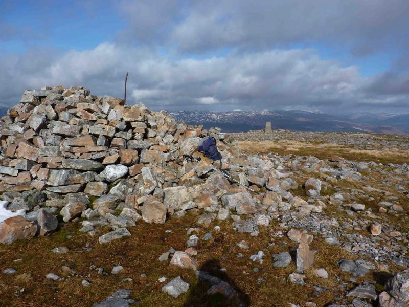
Stob Coire a’ Chearcaill, 770 m, NN 016 726. OS sheet 41.
Introduction
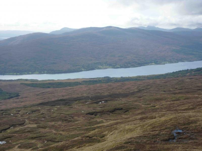
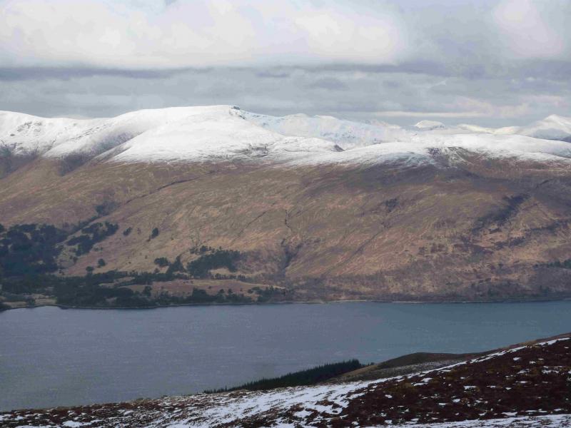
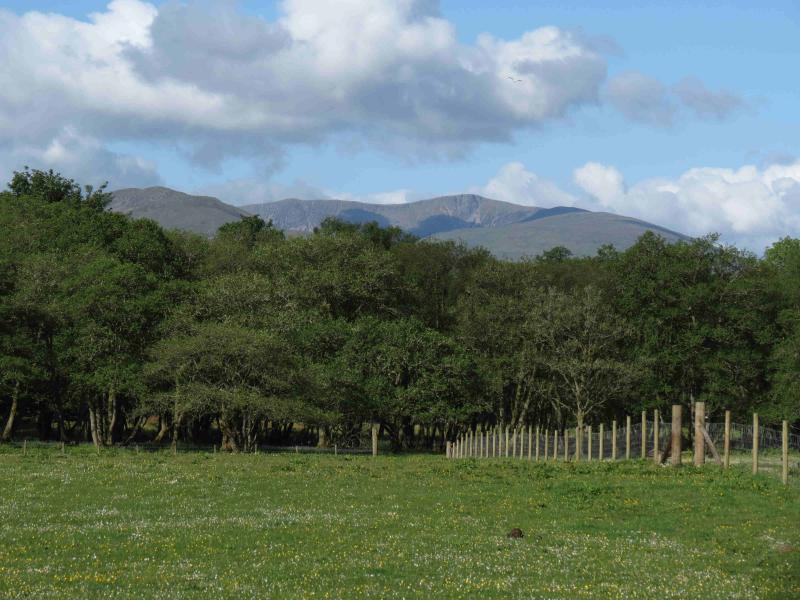
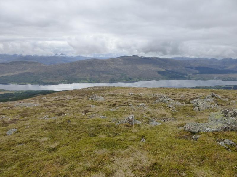
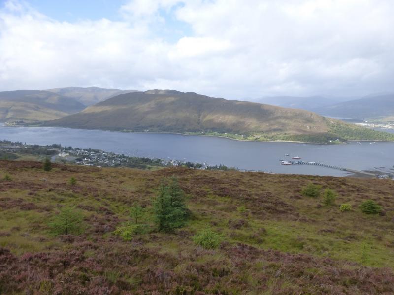
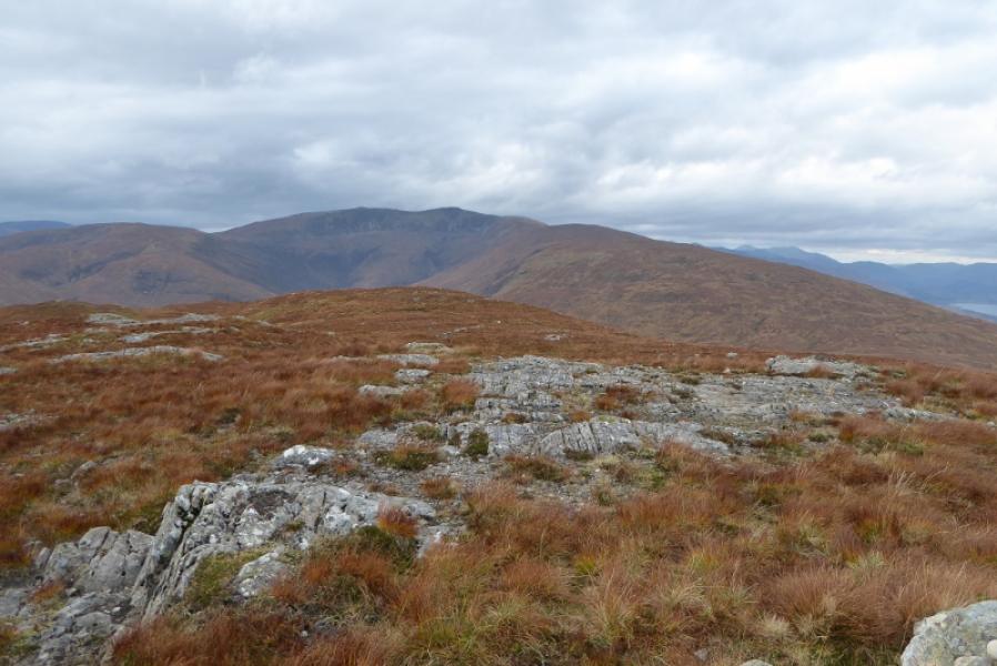
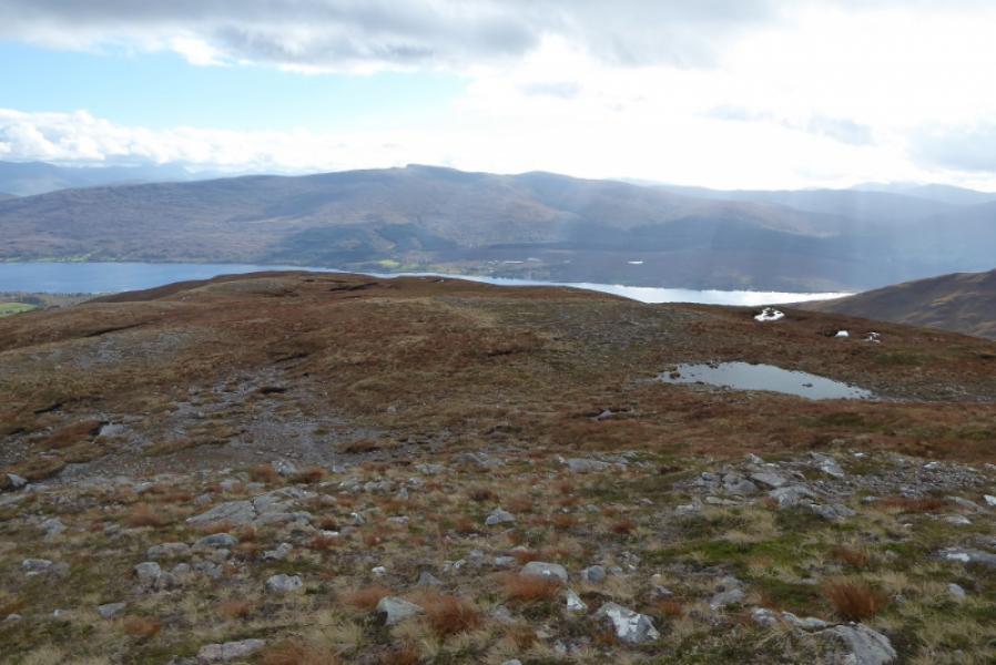
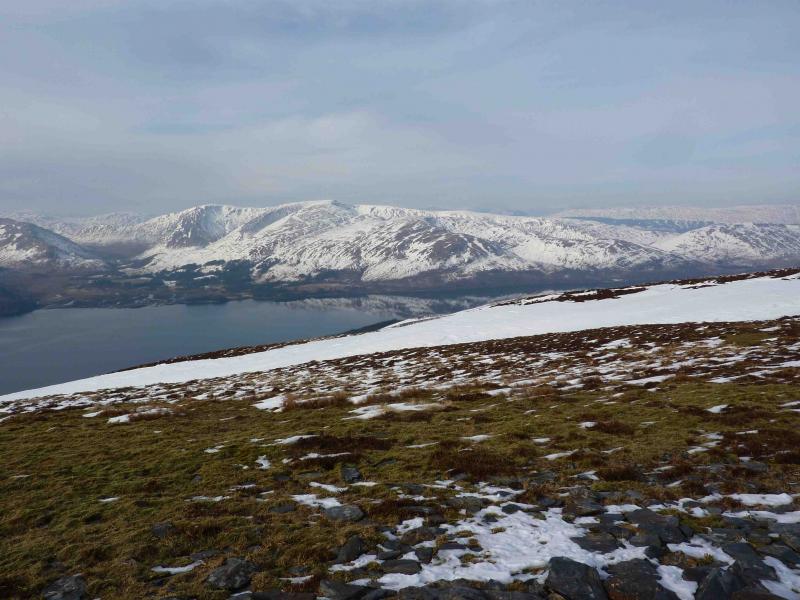
A fairly strenuous walk, mainly on pathless grass, which gives excellent views of the surrounding mountains and across Loch Linnhe especially to Ben Nevis. It is worth saving this mountain for a good day.
Route
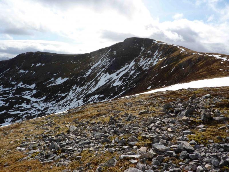
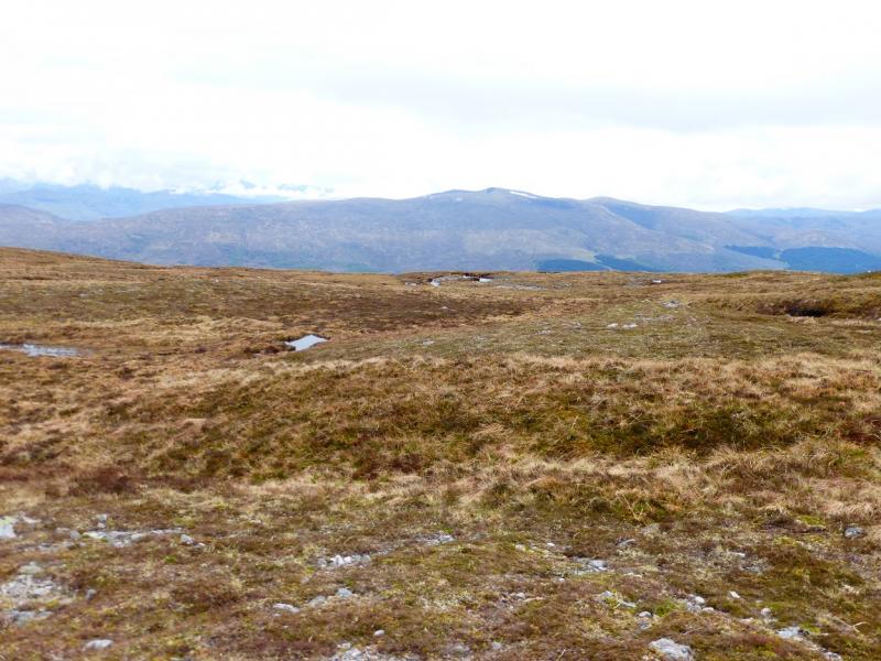
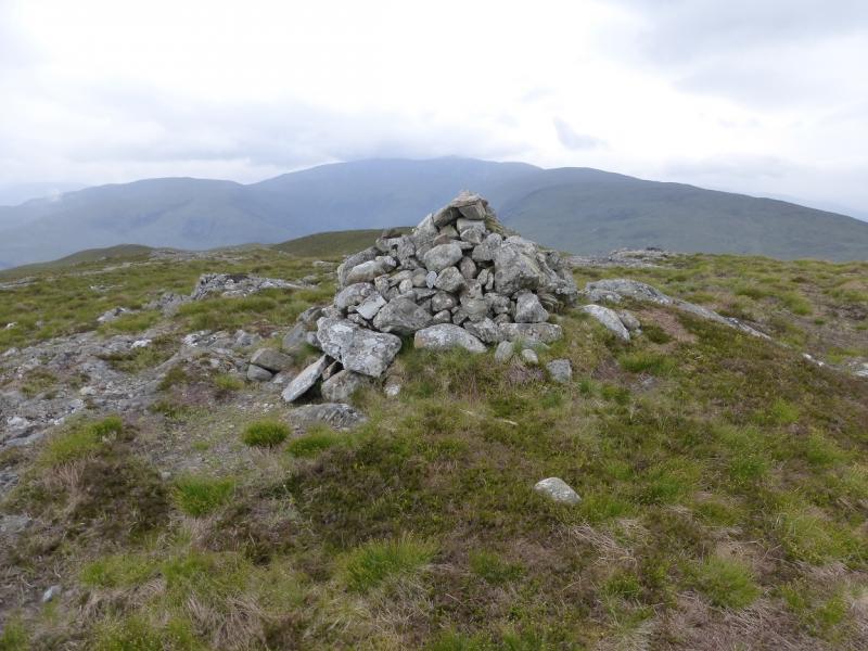
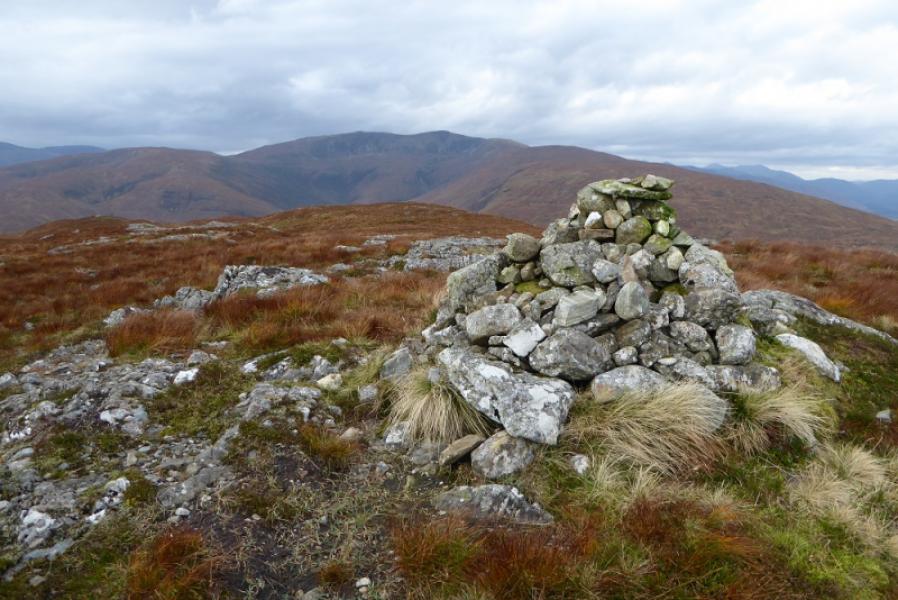
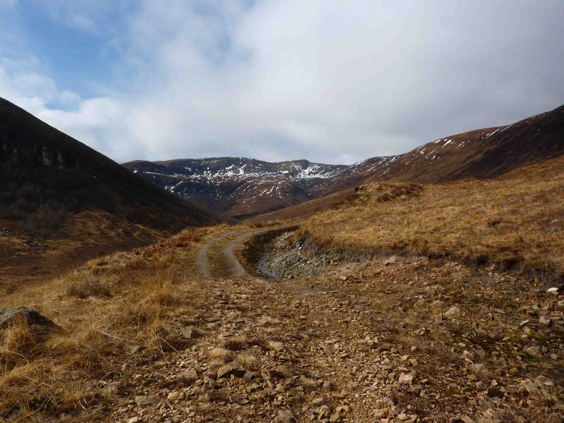
(1) Follow the obvious track on the Nsideof the river. A few streams run across this track but there should be no difficulties. After a bridge, the track climbs. Just before it disappears out of sight around a right hand bend, there should be a small cairn on the right of the track. Leave the track here and climb N to NW on pathless grass to reach the Ceann Caol, a flattish part of the ridge which leads eventually to the summit. Turn W and follow the broad grassy ridge WSW up to Braigh Bhlaich (609) where there is a cairn with a rusty fence post in it. Continue up the ridge to another minor top. Drop SW to a shallow dip then climb S up an easy grassy ridge to the trig point and large summit cairn of Stob Coire a’ Chearcaill, 770 m. The cairn is large enough to provide shelter from any wind direction.
(2) There are 3 possible descent routes. The first is to retrace the outward route.
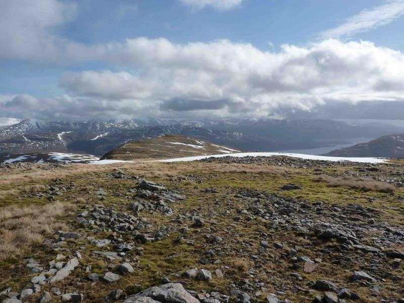
(3) The second descent route is to descend the SE ridge to a subsidiary top then E to a hollow with 3 lochans in it. Climb out the other side to continue down the undulating E ridge past some cairned tops. Reach Meall Ruadh then descend NE back to the start.
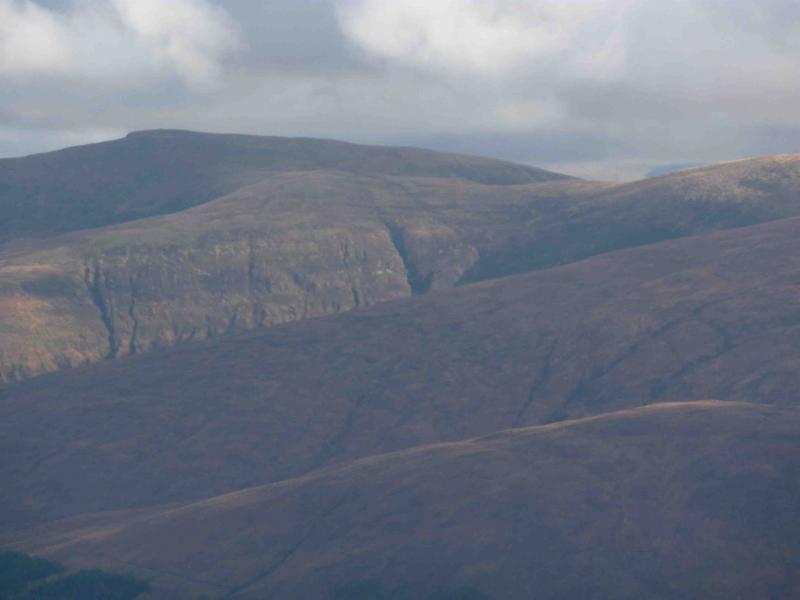
(4) The third descent route descends to the above hollow with the 3 lochans in it. From here, it is possible to leave the ridge and descend into Coire Chearcail. It is best to aim for the ridge between the 2 major gullies which should have been easy to spot on the ascent. The top of this ridge is at about NN 031 726. Be careful about reaching this point as many of the minor gullies are actually vertical quartzite waterfalls and cannot be crossed. There is also some dense heather around the sides of some of these minor gullies.
Notes
(a) This walk took place on 4th June, 1999 and 15th March, 2010.
(b) Be careful not to go too far down the SE ridge as you will end up in the Cona Glen with a long walk back to the car!
Photos - Hover over photo for caption. Click on to enlarge. Click on again to reduce.
 from where track is left.JPG)