Get Lost Mountaineering
You are here: Scotland » 10b Loch Eil to Glen Shiel » Loch Lochy to Loch Quoich & Glen Dessary
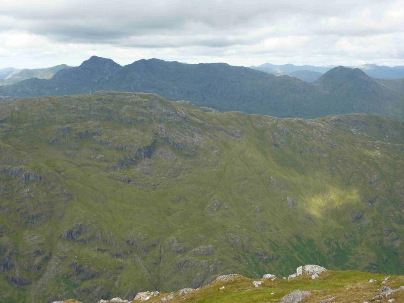
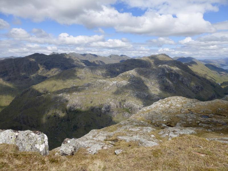
Carn Mor
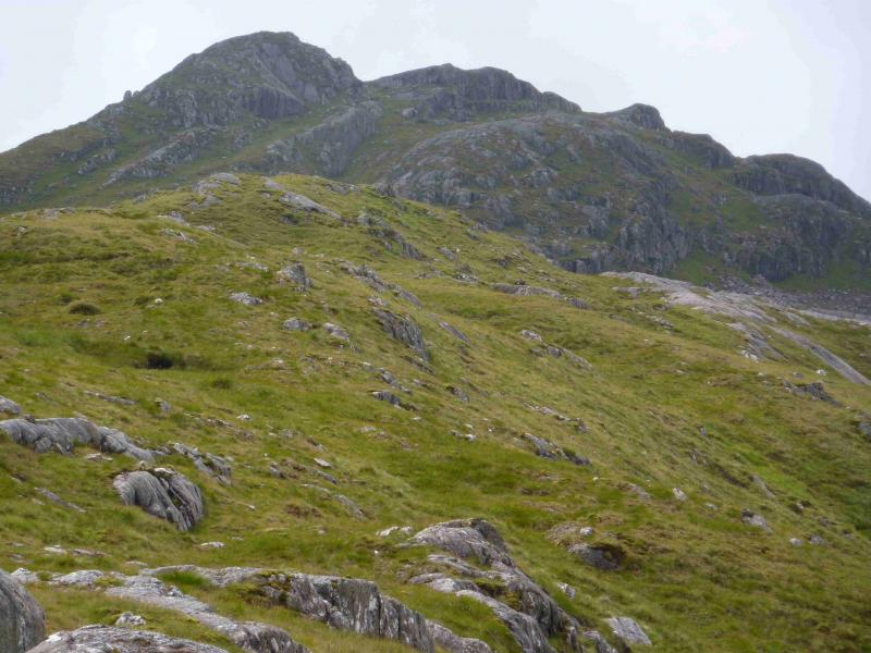
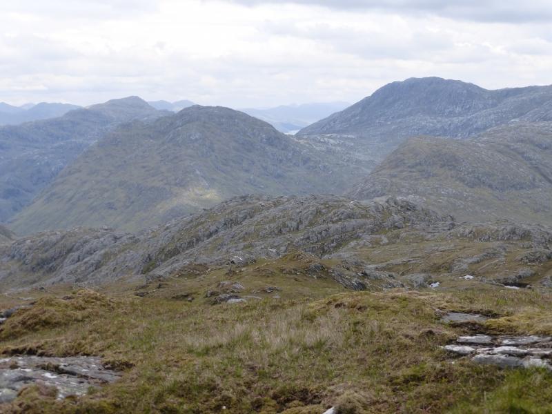
Carn Mor from far end of Loch Arkaig
Start/Finish
The end of the public road at the far end of Loch Arkaig. This is a long drive (40+ minutes) from Spean Bridge via Gairlochy. The road by the loch is single tracked and narrow with mainly blind bends and summits. Be prepared to reverse some distance if another vehicle is encountered. If pulling a trailer or caravan, make sure you can reverse with that as well. The parking space used to be quite limited but there is now a car park for 17 cars. You may still need to arrive early to be sure of a place though as the previous parking options on the verges have been blocked off. On 6/5/14, substantial timber clearing was taking place in Glen Pean which meant that long and very heavy timber wagons were driving the full length of this road and wrecking it. In places, half the road is missing. At the current rate of destruction, parts of the road may soon become impassable to cars. The Loch Arkaig road is bad enough when in good repair but is now awful. Taking one's car down Loch Arkaig is now probably the driving equivalent of self-flagellation!!!
Distance/Time
12 km walk + 10 km bike. About 7 hours.
Peaks
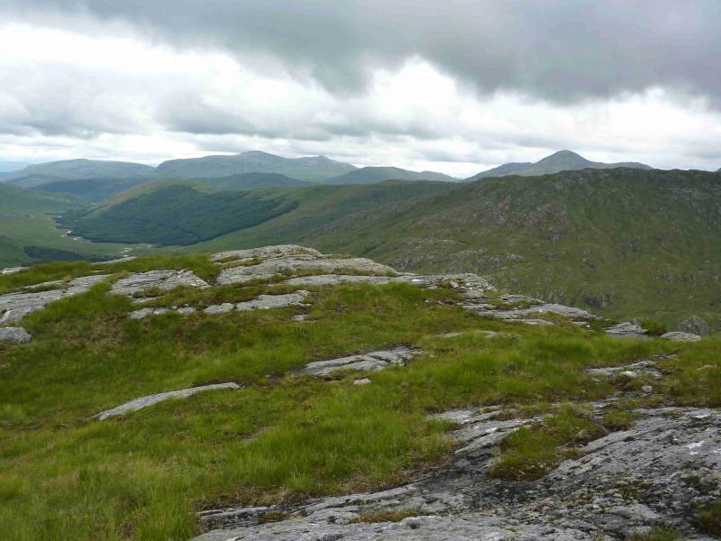
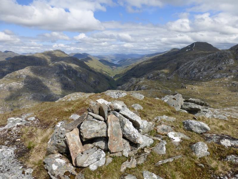
Carn Mor, 829 m, NM 903 909. OS sheet 40.
Introduction
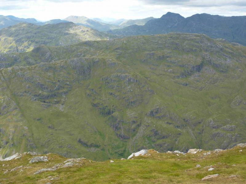
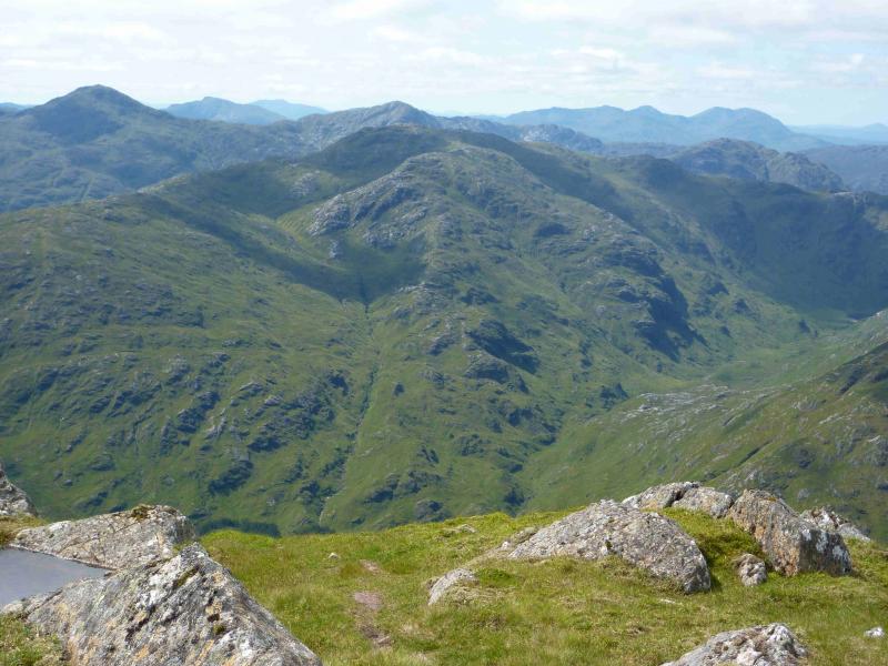
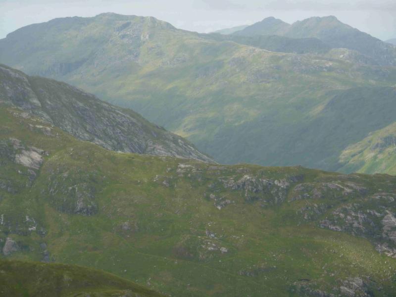
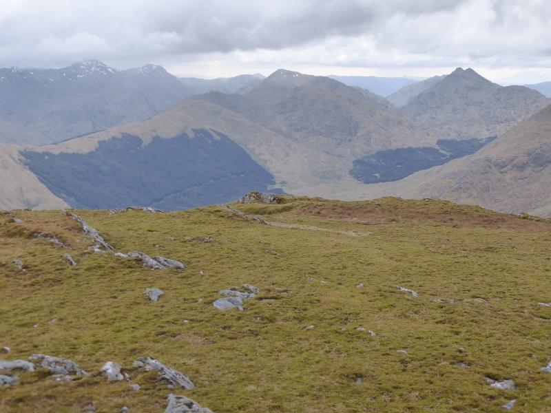
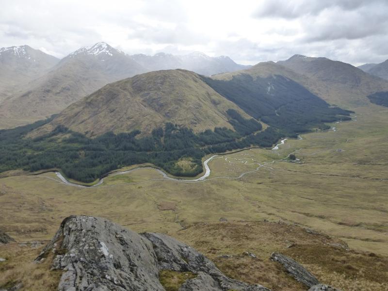
This is a very strenuous walk over much rough and overgrown ground especially lower down. Once the forestry track in Glen Dessary is left, most of the route is pathless. The views on a clear day are excellent especially to the Sgurr na Ciche range, Knoydart, the Corryhully range not to mention Loch Nevis and Loch Monar. More distant views extend to Rum and Ben Nevis. In misty conditions, navigation will be challenging. In winter conditions, the final ascent is only for the experienced.
Route
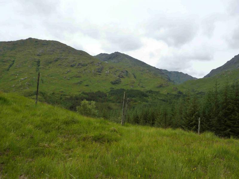
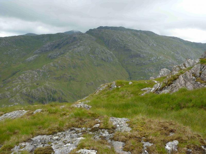
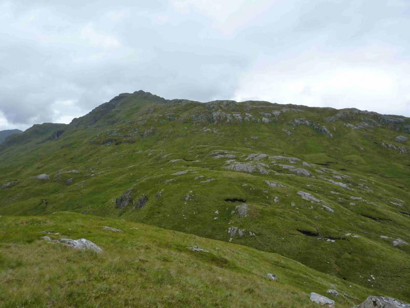
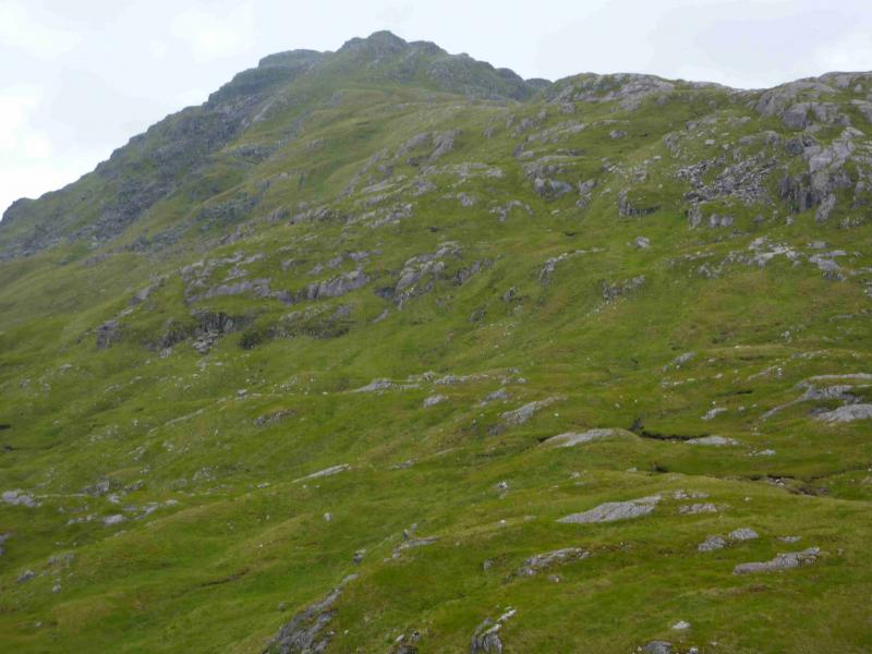
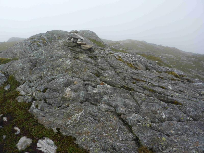
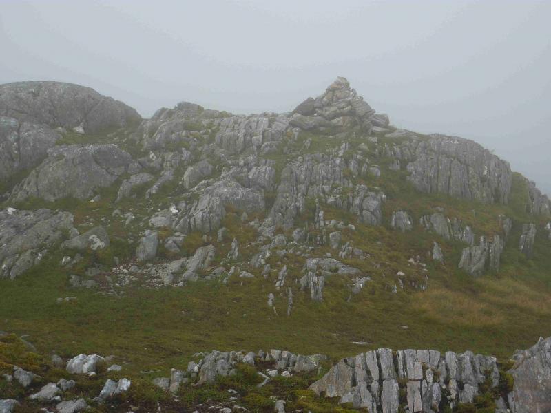
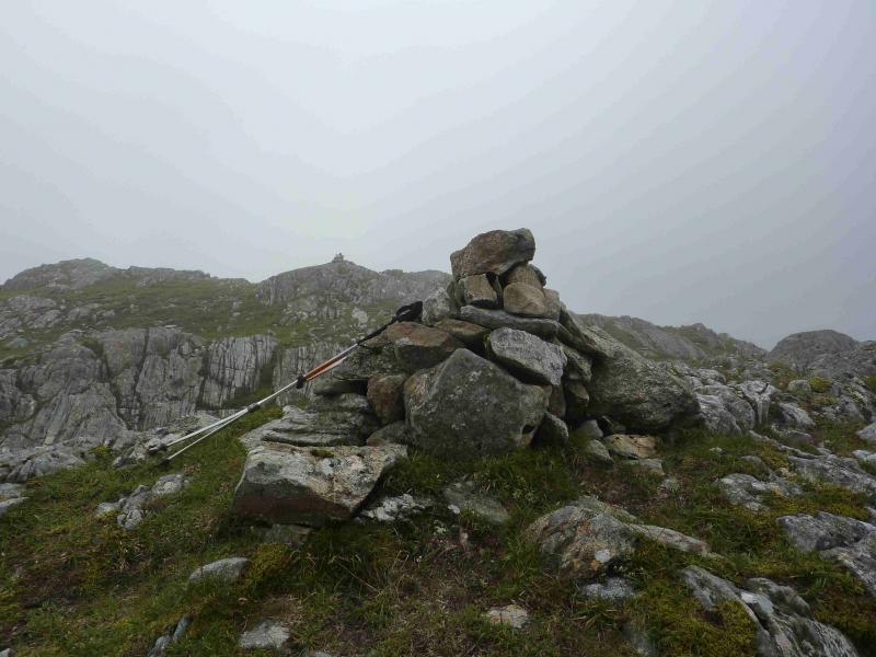
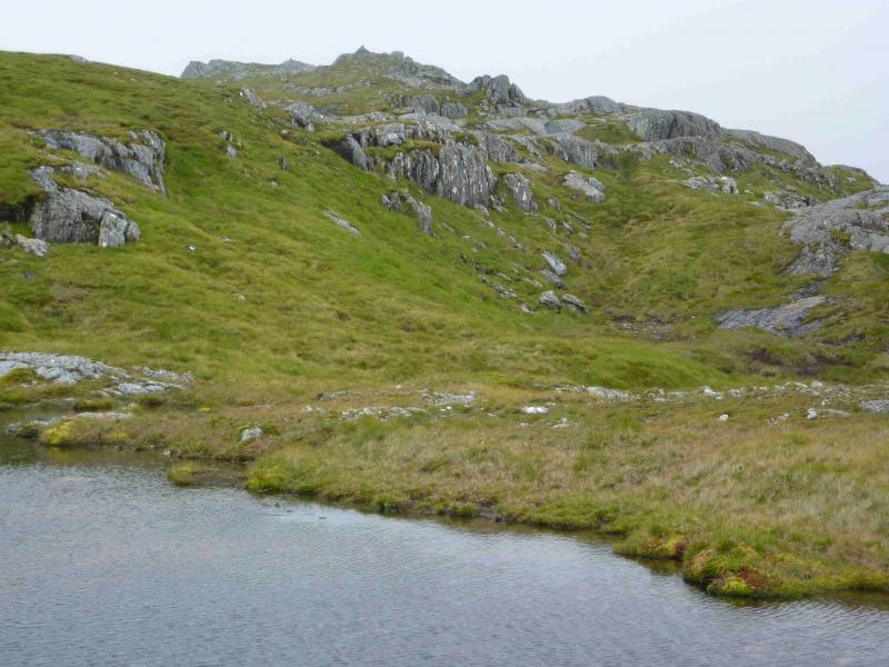
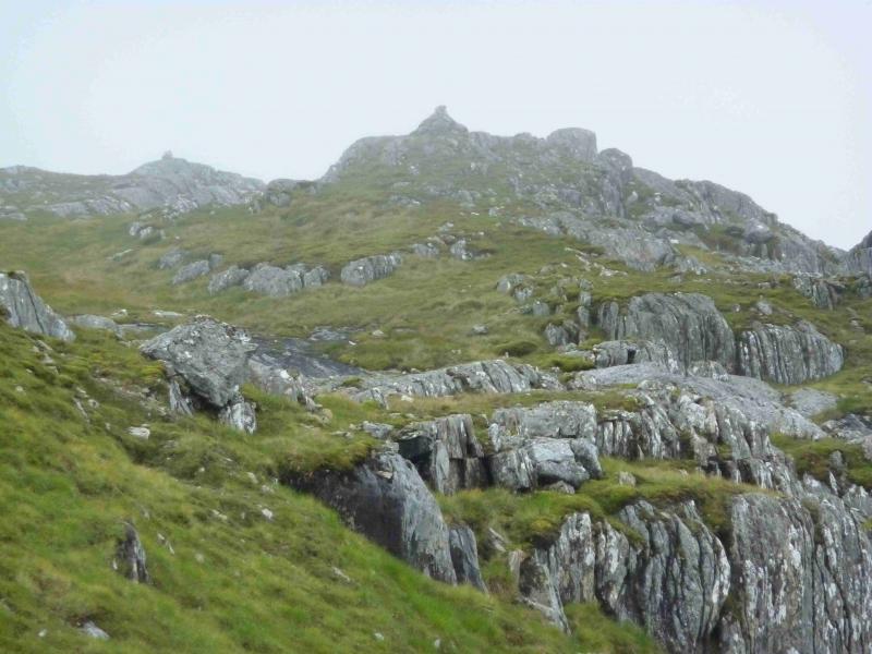
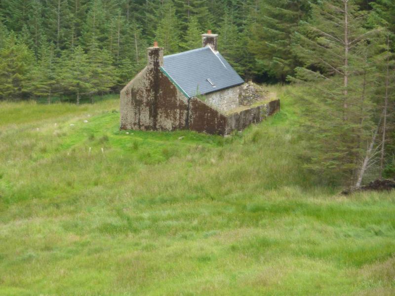
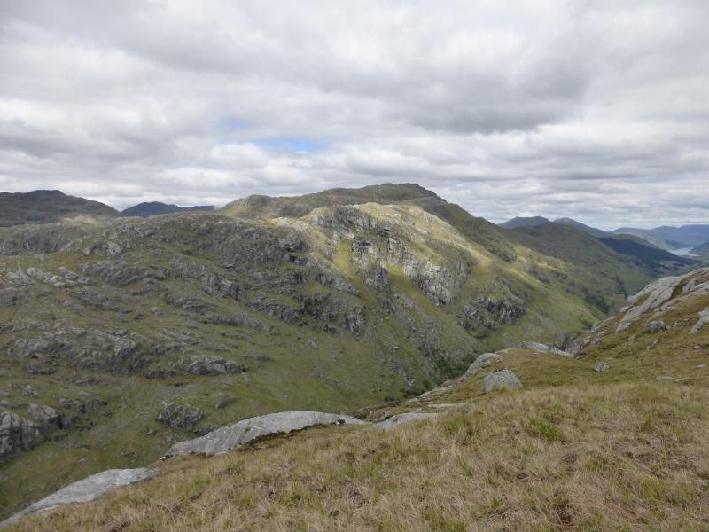
(1) From the end of Loch Arkaig, walk or cycle, for about 1 km, to where the track forks. Take the left fork and descend slightly to pass Strathan. Continue, crossing the bridge over the River Dessary. The track enters a plantation. In about 300 km, take the right fork which goes uphill. Follow this track, now deteriorating, for about 3.5 km to where it emerges from the forest. The bothy of A' Chuil, is just before the edge of the forest down a short path marked by a cairn. Leave bikes on the edge of the forest and start ascending SSW up steep, overgrown grassy slopes. When the crest is reached, follow it roughly W. There are many undulations, the largest being at the head of Coire an Eich which is easily crossed before climbing on to the E ridge of Carn Mor. Follow this undulating ridge roughly W. In clear weather, as one approaches, the summit appears to be a tower and the N ridge has several “tops”. The summit is actually well behind this “tower”. As one gets closer, some grassy ramps should be noticed below and to the sides of this tower. Look for the one which seems to start lowest down and higher up has a small perched boulder at its perceived top and a small rock wall high on the left. Most would say this is the second grassy ramp to the right, N, of the “tower” but the boulder is a good indicator. Ascend the ramp. The perched boulder turns out not to be the top but just where the gradient eases. Continue until the ground levels out near to a small lochan. Trend roughly S, gaining height gently, to another lochan then up a shallow grassy gully/ramp which finishes between two small outcrops both of which have cairns, one small and one medium, but both appear to be the same height. The cairns are only about 20 m apart and it is difficult to tell which marks the summit of Carn Mor, 829 m, so visit both.
(2) Return the same way, taking care to find the correct route down the side of the “tower” or descend Coir an Eich where there are occasional hints of paths which become more pronounced lower down especially on the left, W, side of the Allt Coire an Eich. The burn is crossed just before it enters the forest and might be difficult in spate conditions but the burn is easily monitored as one descend Coire an Eich and can be crossed higher up if necessary. Just before the forest, walk E to join the track back to Strathan.
Notes
(a) This walk took place on 31st May, 2005, and 24th July, 2012.
(b) Not using a bicycle would add about an hour to the time.
Photos - Hover over photo for caption. Click on to enlarge. Click on again to reduce.