Get Lost Mountaineering
You are here: Scotland » 10b Loch Eil to Glen Shiel » South of Loch Morar & Loch Arkaig
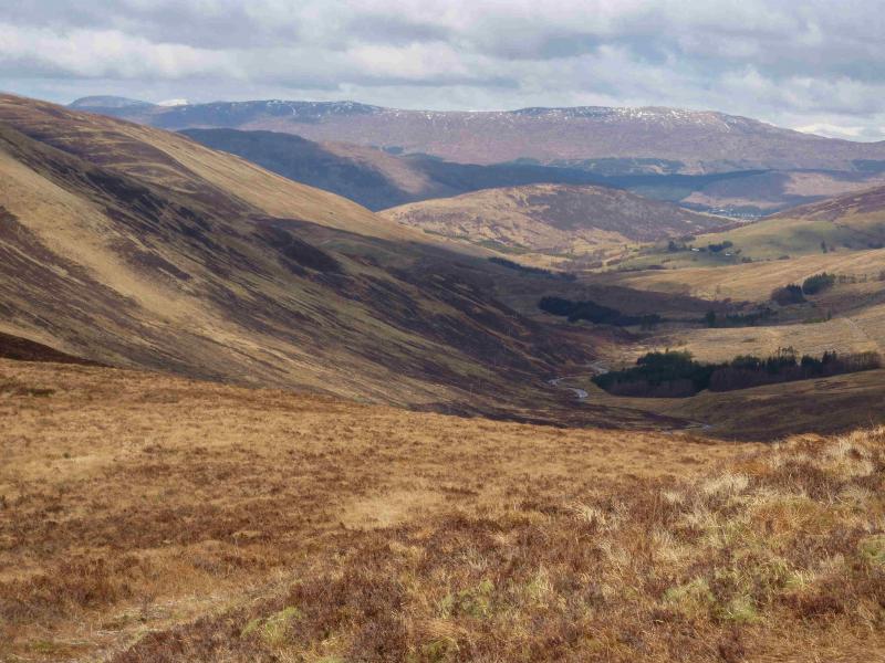
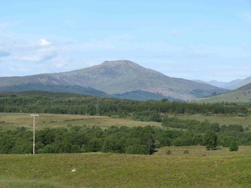
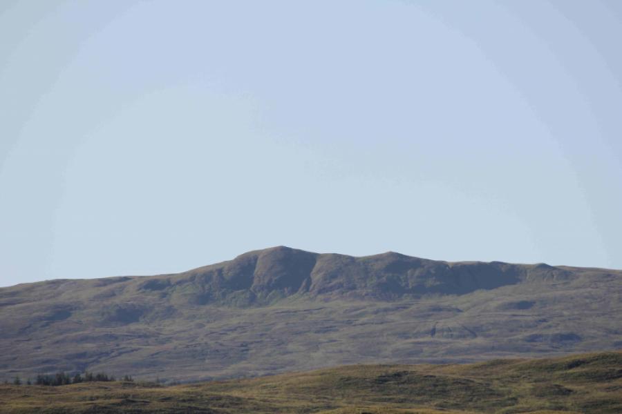
Druim Fada (Stob a' Ghrianain) from Glen Loy
Druim Fada (Stob a’ Ghrianain) from Glen Loy
Start/Finish
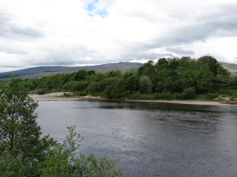
Inverskilavulin turning, just before the bridge over the River Loy, about 3 km up Glen Loy where there is just enough room for the careful parking of two cars. Glen Loy is about 6 km up the B8004 road from Banavie to Gairlochy. Banavie is about 2 km down the A830 Fort William to Mallaig road and is just after the swing bridge across the Caledonian Canal.
Distance/Time
12 km Approx 5 hours
Peaks
Druim Fada, Stob a’ Ghrianain, 744 m, NN 087 824. OS sheet 41.
Introduction
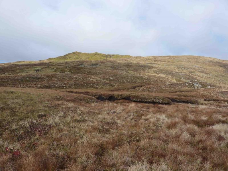
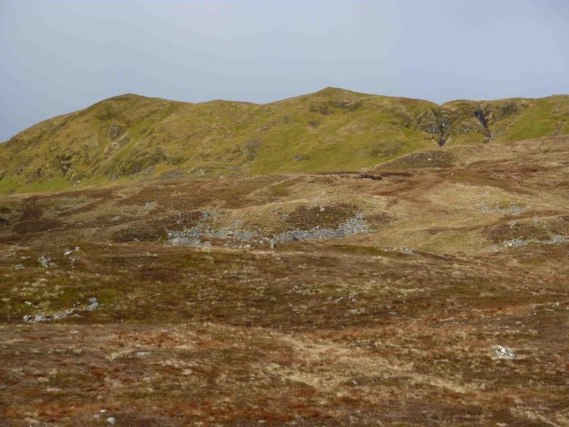
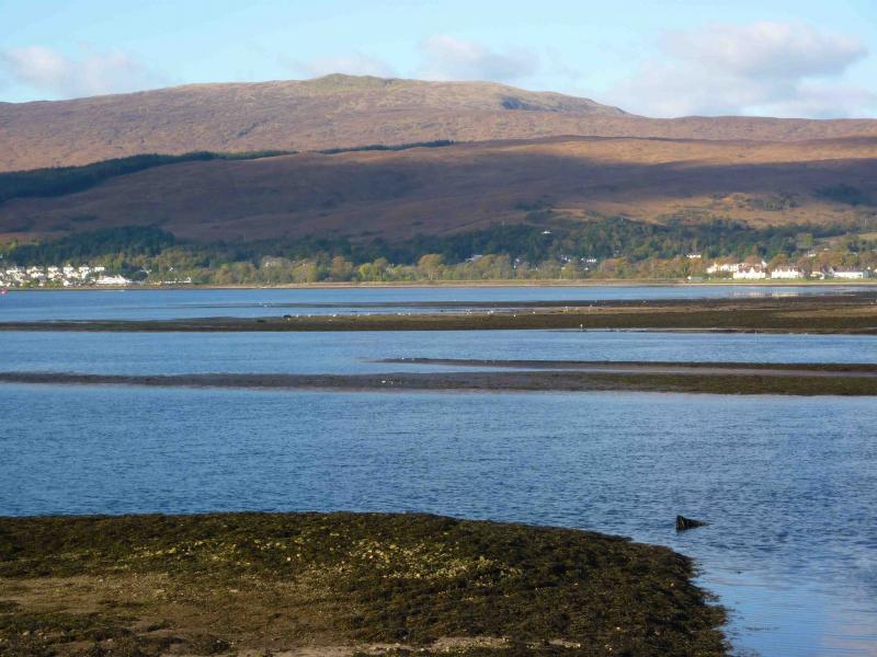
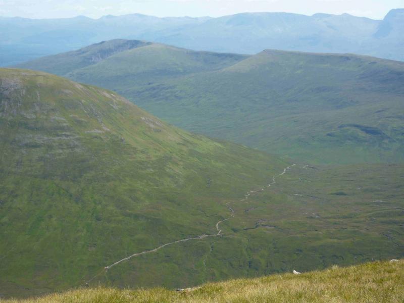
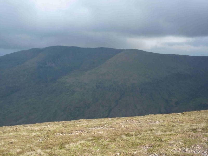
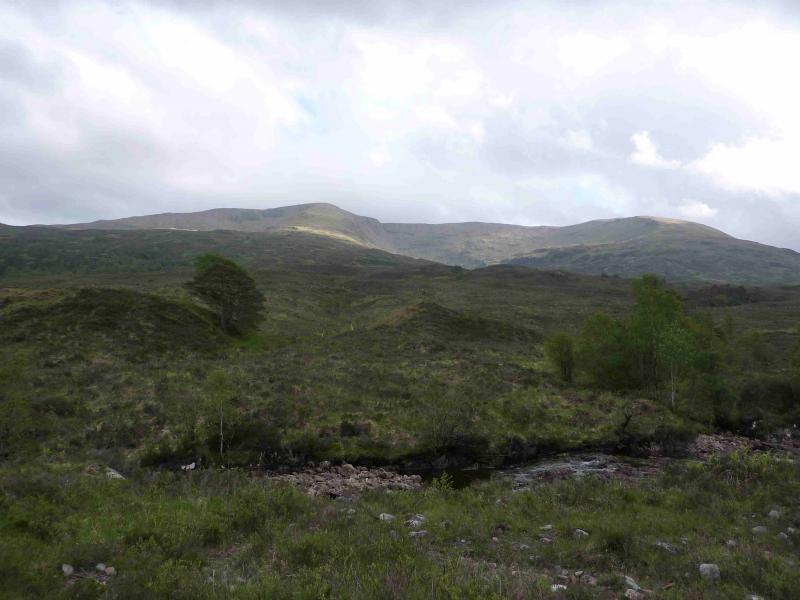
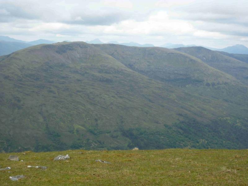
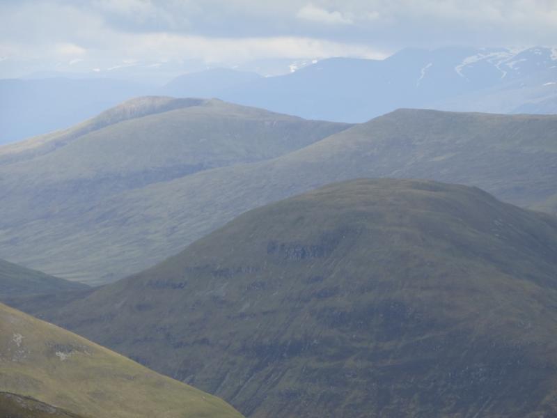
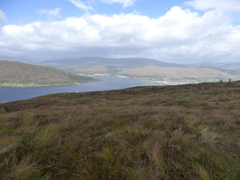
Druim Fada is a steep grassy hill with a long summit ridge which is well seen when looking NNW from Fort William. On a clear day, there are panoramic views in all directions including Ben Nevis, Grey Corries, the hills above the Mallaig road and the Loch Arkaig hills. Beinn Bhan, Meall a' Phubuill and Gulvain are the most prominent hills and all lie just to the north. An alternative approach to Druim Fada, from Fassfern on the Mallaig road, has also been uploaded. If two cars are available, it is worth traversing the whole of the ridge from Glen Loy to Fassfern.
Route
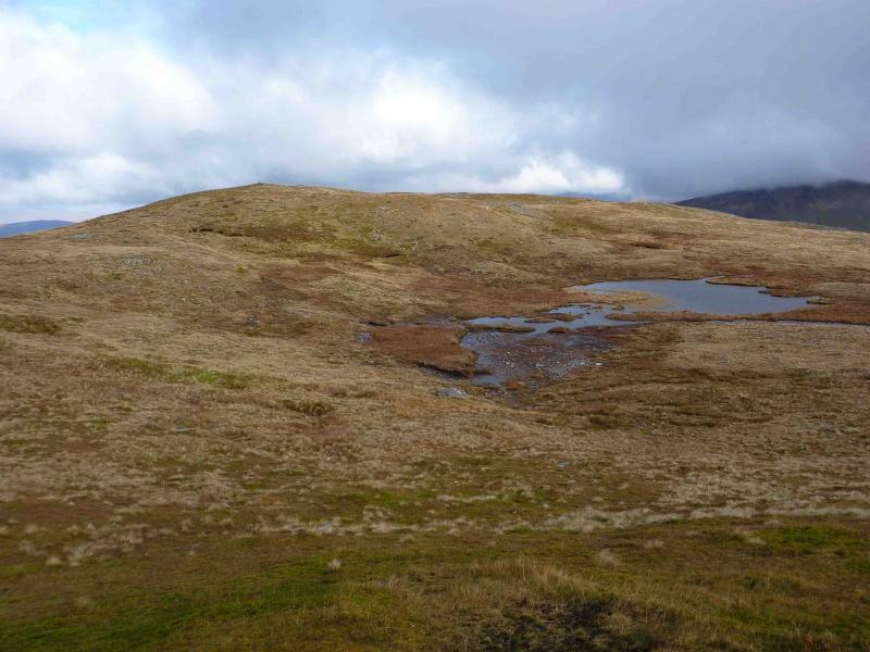
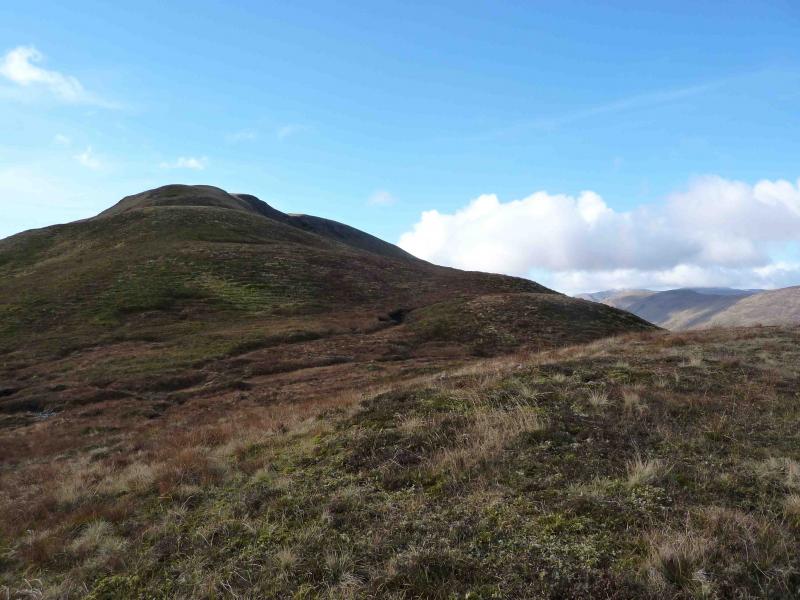
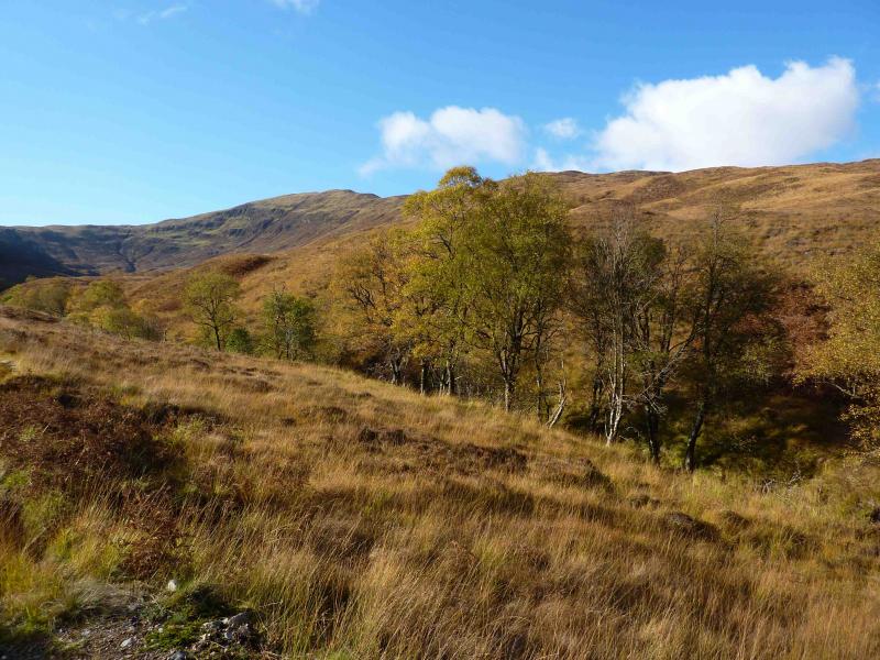
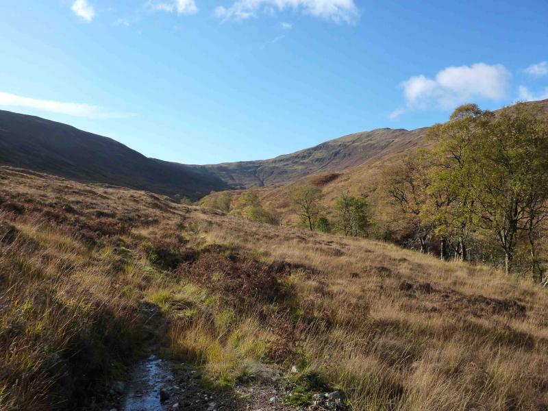
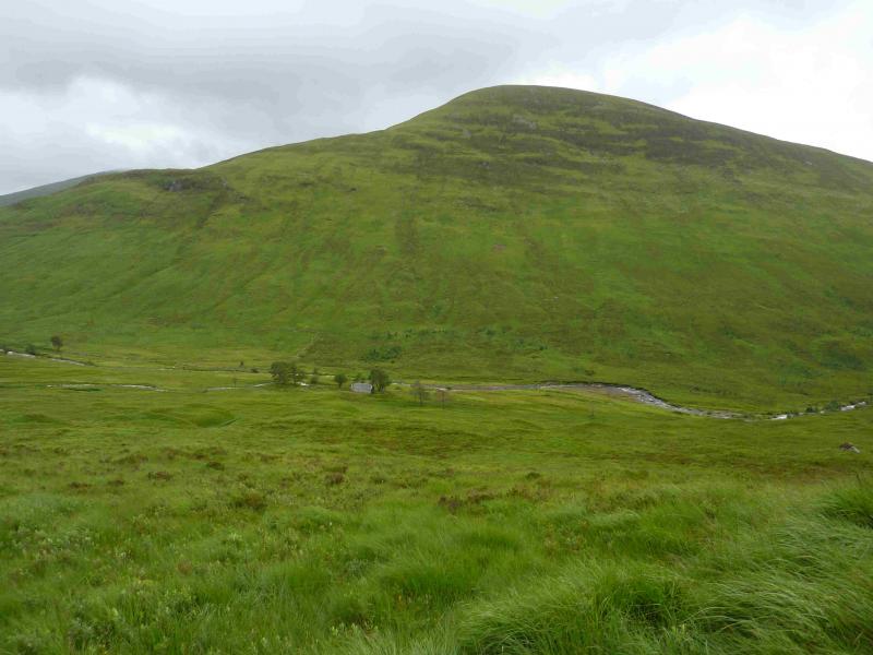
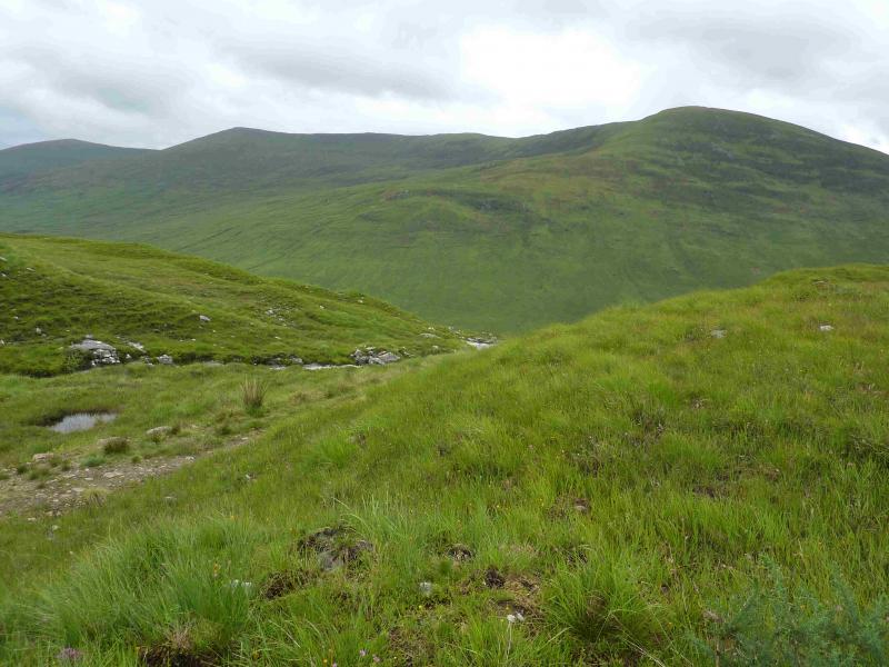
(1) Walk back across the bridge and head SW up the forestry track immediately on the right. Go through a gate near the start of the track and continue up the track. At the first track junction, go straight on, ignoring the left turn. At the next junction, where the main track bends right, go straight on, following a more grassy track. After about 150 m, look for an ATV track going into the trees on the right. If you reach a bridge, you have gone too far. Follow the ATV track which shadows the Allt Coire an Lightuinn although the burn is rarely seen because of the trees but may sometimes be heard. In places, the track is almost overgrown with heather but is still easy to follow. An old wall runs alongside the track for most of the way. As height is gained, the track becomes more distinct and eventually emerges from the forest at a gate in a fence with a stile. Continue a short distance and cross the bridge over the burn. Head upwards, N to NW, to the obvious ridge above on pathless but easy grassy slopes. Once on the ridge, follow it almost due W with a faint path appearing higher up. As height is gained, a high “obelisk” like cairn is clearly visible. This is not the actual summit but is quite close to it and is passed just before the summit. The actual summit of Druim Fada is a small cairn at the top of the ridge. A small lochan lies just below to the SE and there is a lower cairned top about 150 m away to the S along a short curving ridge.
(2) Descend by the same route.
Notes
(a) This walk took place on 23rd October, 2010.
(b) An alternative ascent which gives a round of Coire an Lightuinn by going up the Sron Liath ridge can be reached by ascending S once through the forest and following this ridge W then NW to the summit. There are no other easy routes through the forest. It used to be possible to ascend from the end of the public road in Glen Loy by Puiteachan but a new house has been built, making access much more difficult.
Photos - Hover over photo for caption. Click on to enlarge. Click on again to reduce.