Get Lost Mountaineering
You are here: Scotland » 10b Loch Eil to Glen Shiel » South of Loch Morar & Loch Arkaig
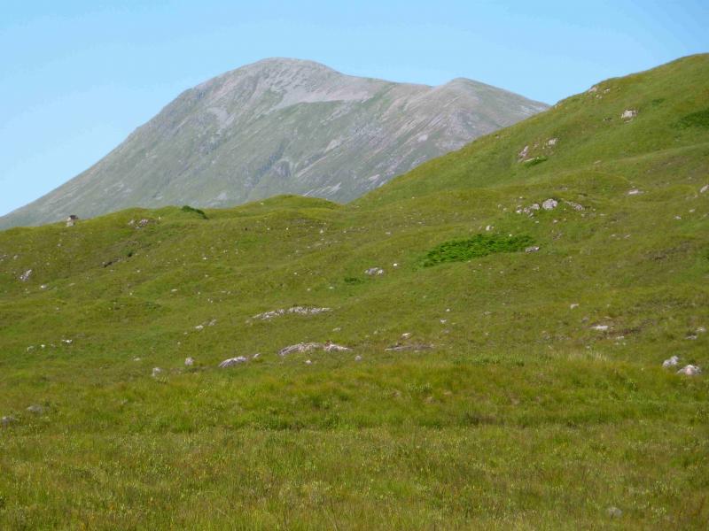
Gulvain
Gulvain from the Strontian (A861) turning on the A830 Fort William to Mallaig road
Start/Finish
Drive from Fort William towards Mallaig. Turn left for Strontian after about 10 miles and park almost immediately on the right before the railway bridge.
Distance/Time
11 km walk & 10 km bike. Approx 8 hours
Peaks
Gulvain, 987 m, NN 003 876.
Gulvain South Top, 962 m, NM 996 864. OS sheets 40 & 41.
Introduction
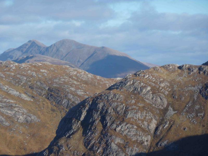
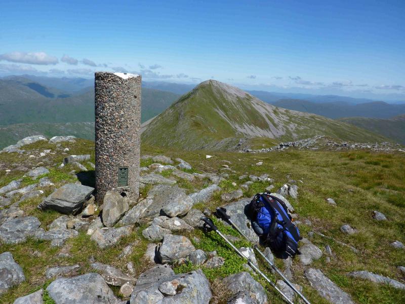
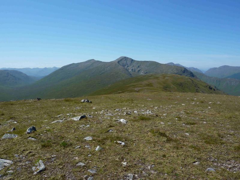
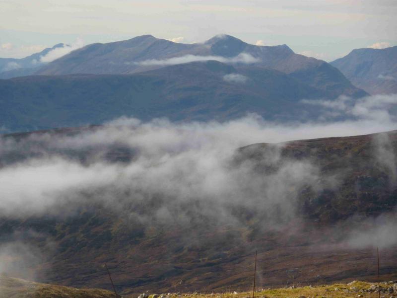
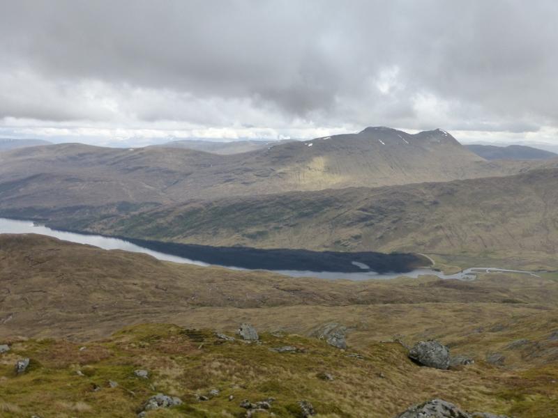
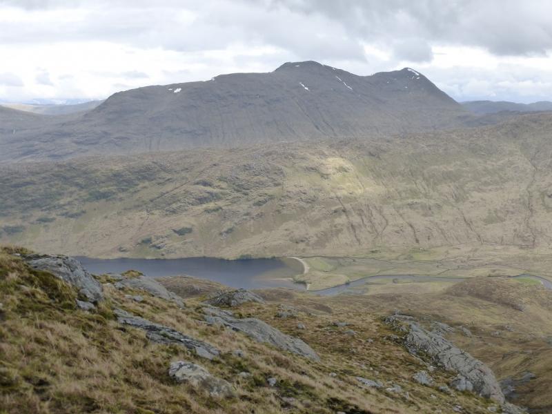
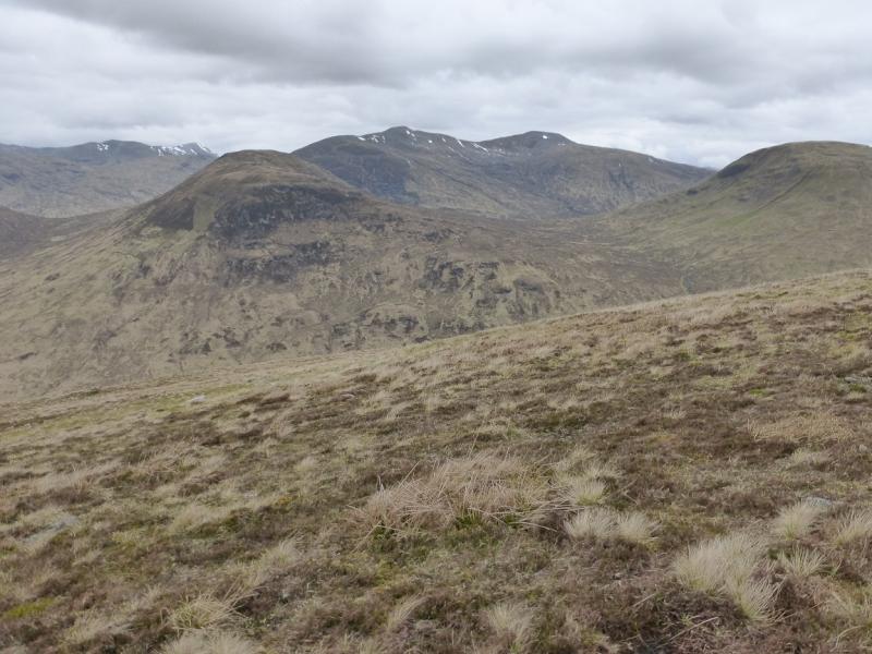
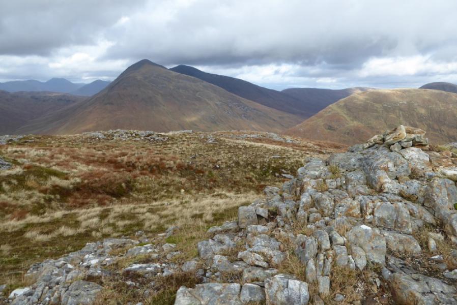
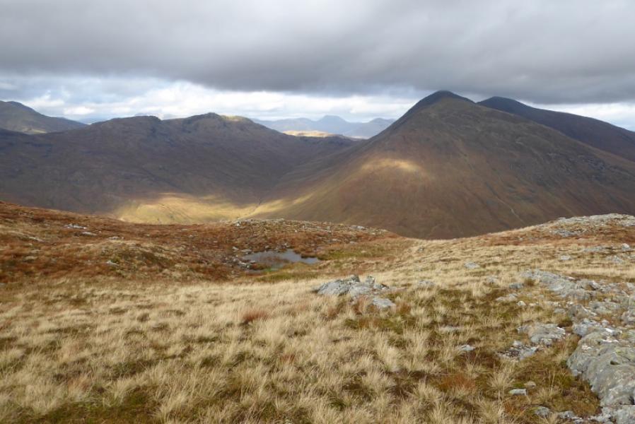
This is a strenuous walk with a steep ascent, mainly on grass. On a clear day, there are excellent views in all directions not just of the surrounding hills but also to Ben Nevis, Bidean nam Bian and Ben Cruachan. Unfortunately, the route has to be reversed – there is no other logical alternative. Interestingly, one starts on sheet 40 which includes the south top but the main summit is on sheet 41. In poor weather, it is easy to mistake the south top for the summit as it has a trig point on it. Be warned!
Route
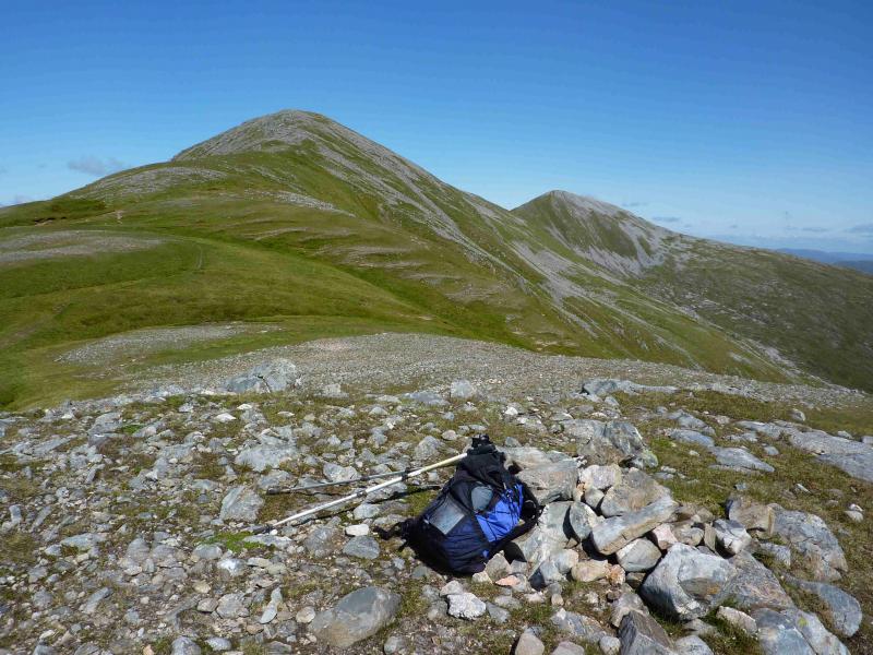
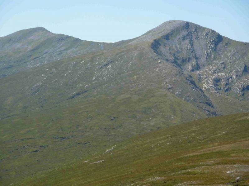
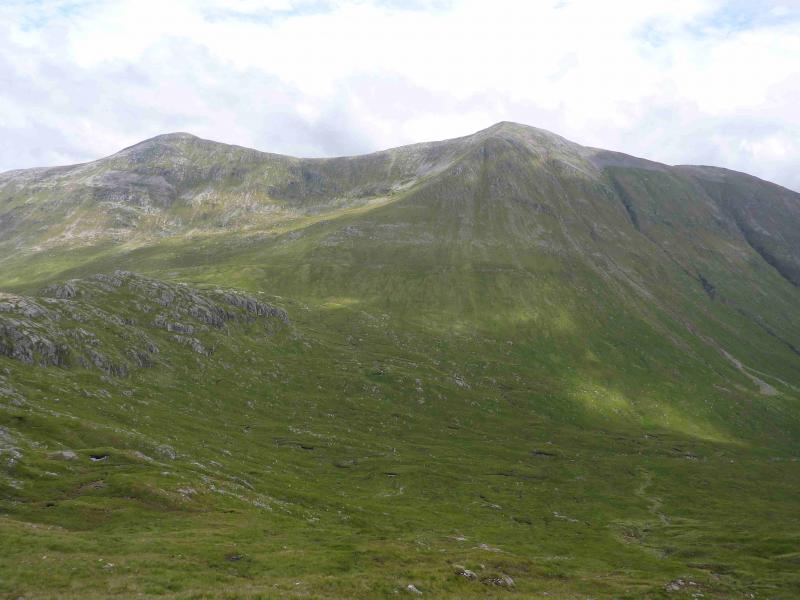
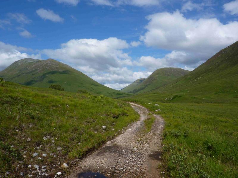
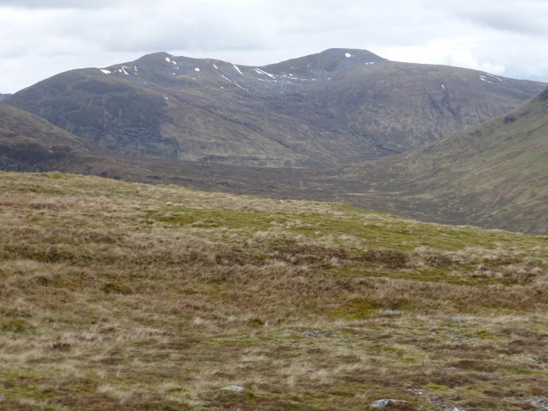
(1) Cross the A830 and walk about 50 m towards Fort William before turning left on a tarmac road which leads to some houses. In another 50 m, turn right and cross an old stone bridge. Just after this, on the left, there is the track leading up Gleann Fionnlighe. Follow this N over a slight rise then down to a bridge over the River Fionn Lighe. Continue on the left of the river. After a while, the track deteriorates and there are a few rough and boggy sections. It is difficult to cycle the last kilometre of the track so it is best to leave the bicycle before the point at which the track seems overgrown. Continue to a small cairn where the track forks left and a path forks right. Follow the path, mainly on grass but boggy in places, up the steep nose. It is quite a slog but eventually the gradient eases and a minor top with two cairns is reached. Continue N, still on the path, to reach the trig point and cairn which is the summit of Gulvain South Top, 962 m.
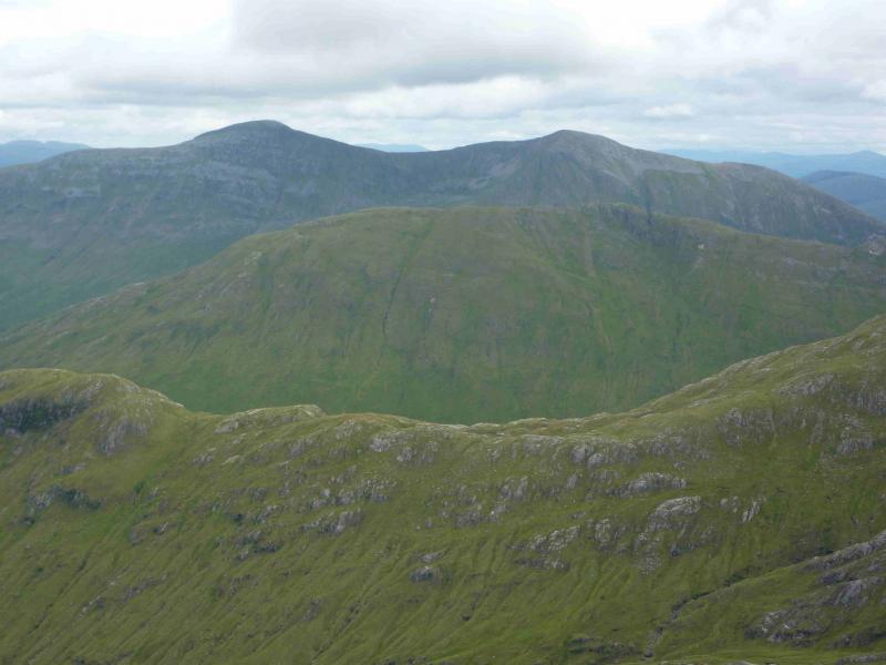
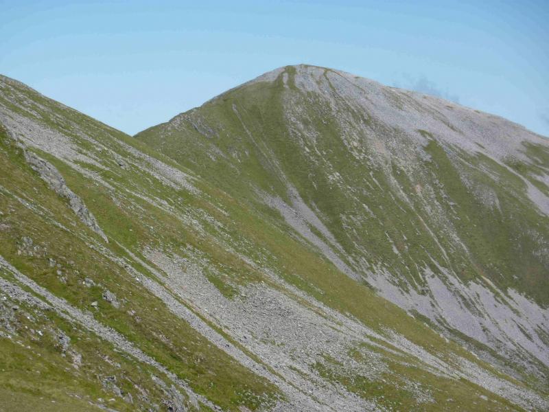
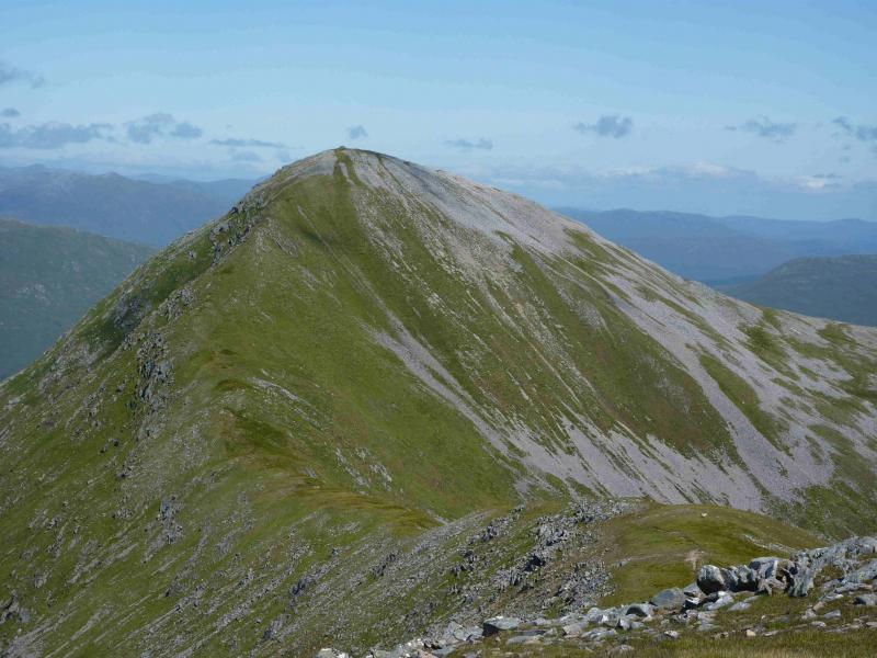
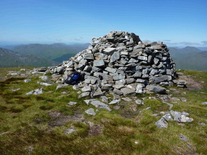
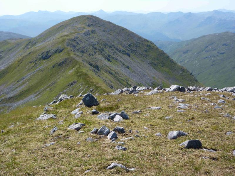
(2) Descend NNE, still on the path, losing about 60 m, before climbing a pleasant grassy ridge, with one narrow but easy section, to reach the very large summit cairn of Gulvain, 987 m. The cairn is large enough to shelter behind in bad weather.
(3) Descend by the route of ascent.
Notes
(a) This walk took place on 24th July, 2011.
(b) Not using a bicycle adds about an hour to the walk.
Photos - Hover over photo for caption. Click on to enlarge. Click on again to reduce.