Get Lost Mountaineering
You are here: Scotland » 10b Loch Eil to Glen Shiel » South of Loch Morar & Loch Arkaig
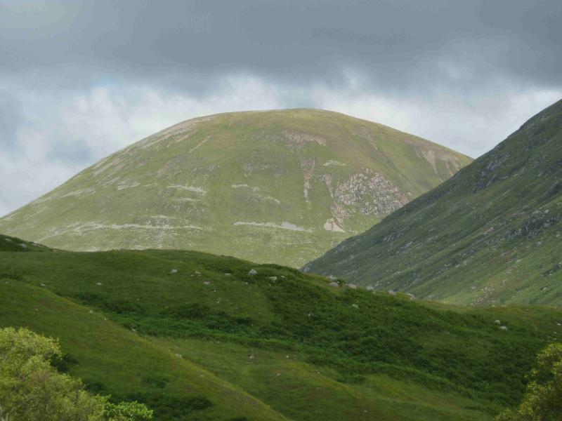
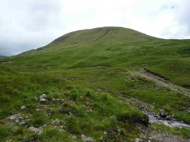
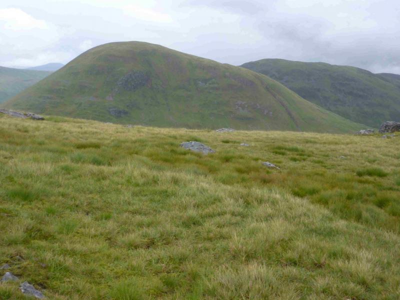
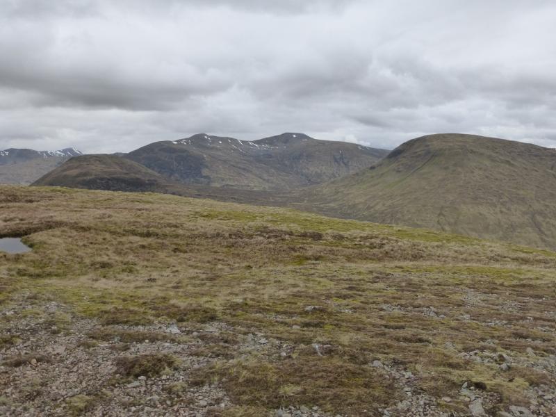
Meall a' Phubuill from Glen Loy
Meall a' Phubuill from Glen Loy
Start/Finish
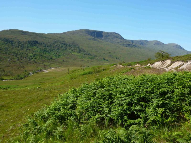
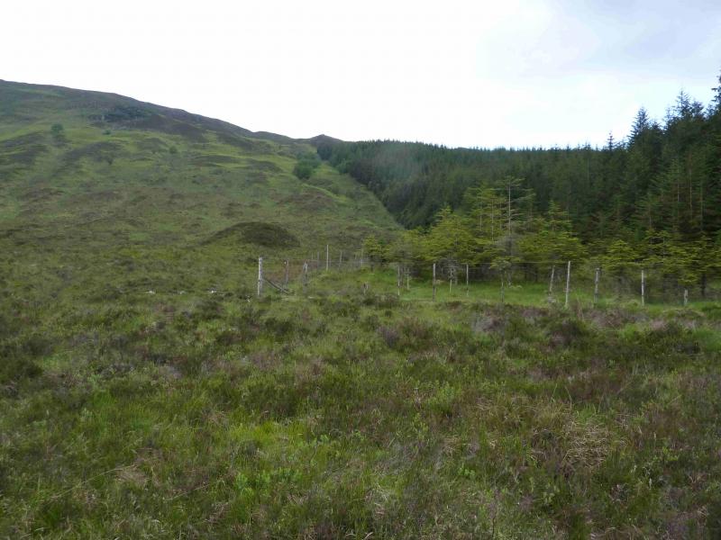
End of public road in Glen Loy just before gate at Achnanellan. Parking is very limited but there is one space near the gate and one space at the start of a forestry track, on the right, N, further back from the gate. Some verge parking may be found but this will only be suitable in very dry weather. Glen Loy is about 6 km up the B8004 road from Banavie to Gairlochy. Banavie is about 2 km down the A830 Fort William to Mallaig road and is just after the swing bridge across the Caledonian Canal.
Distance/Time
15 km Approx 6 hours
Peaks
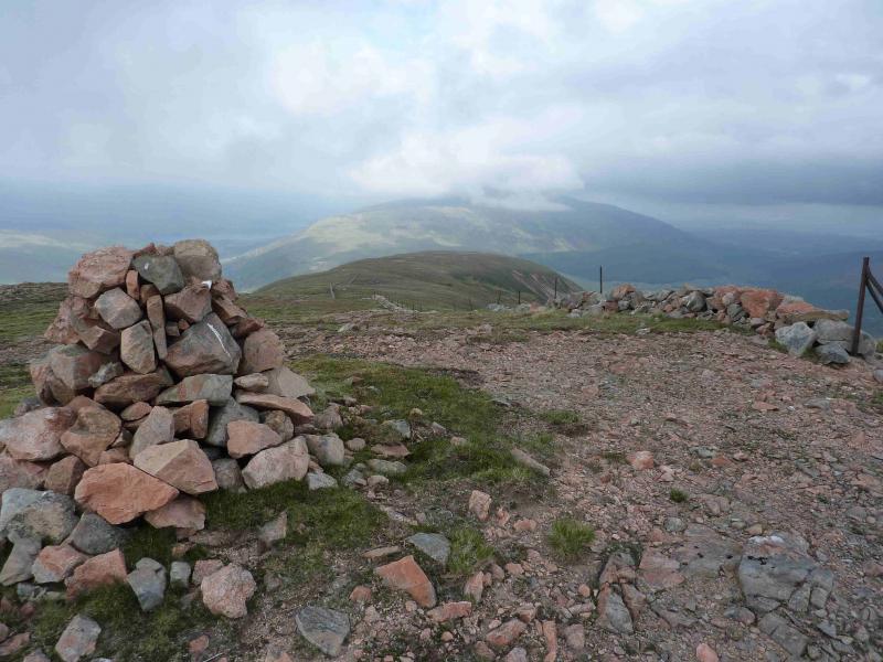
Meall a' Phubuill, 774 m, NN 029 854. OS sheet 41.
Introduction
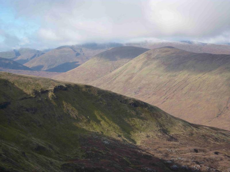
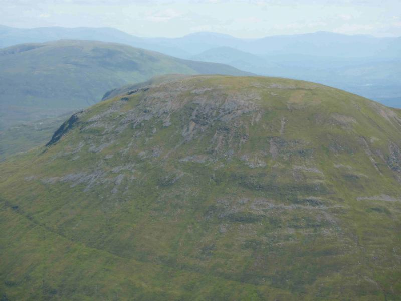
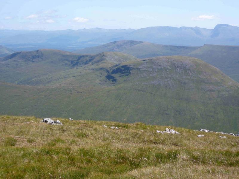
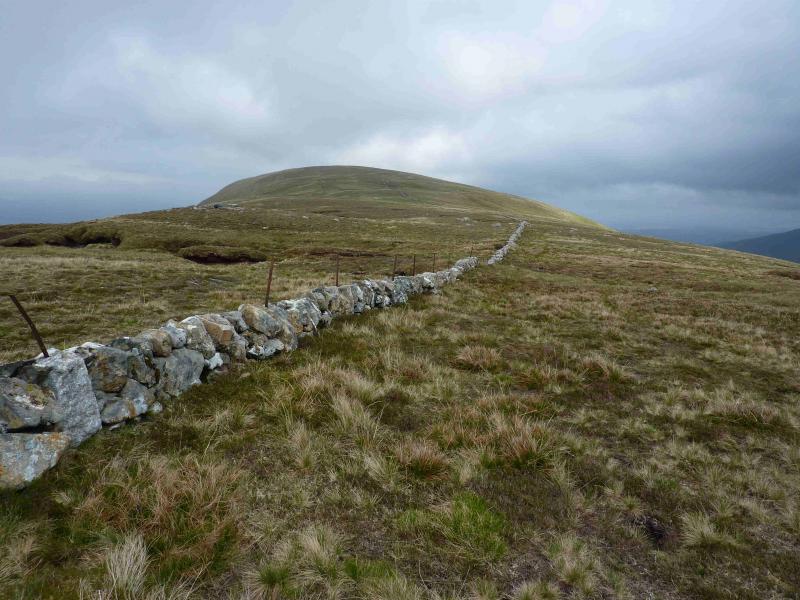
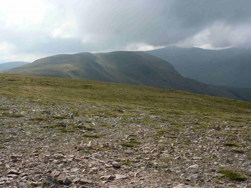
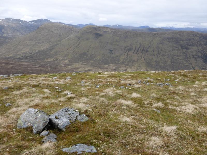
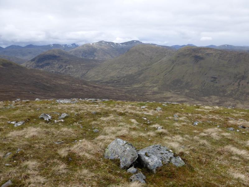
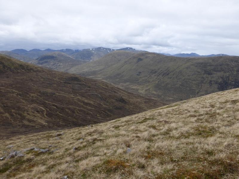
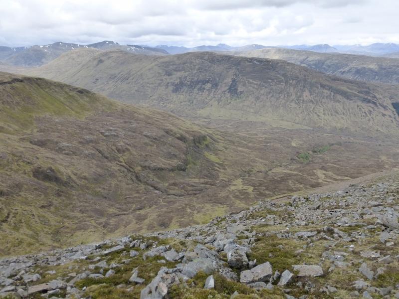
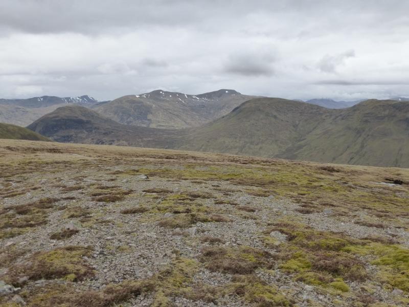
Meall a' Phubuill is a mainly grassy hill which throws out a long ridge to the E. On a clear day, there are panoramic views in all directions including Ben Nevis, Grey Corries, the hills above the Mallaig road and the Loch Arkaig hills but Druim Fada and Gulvain are most prominent. Navigation is fairly simple even in thick weather as a wall/fence goes most of the way along the E ridge.
Route
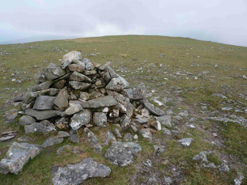
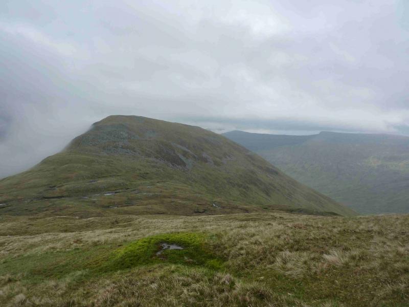
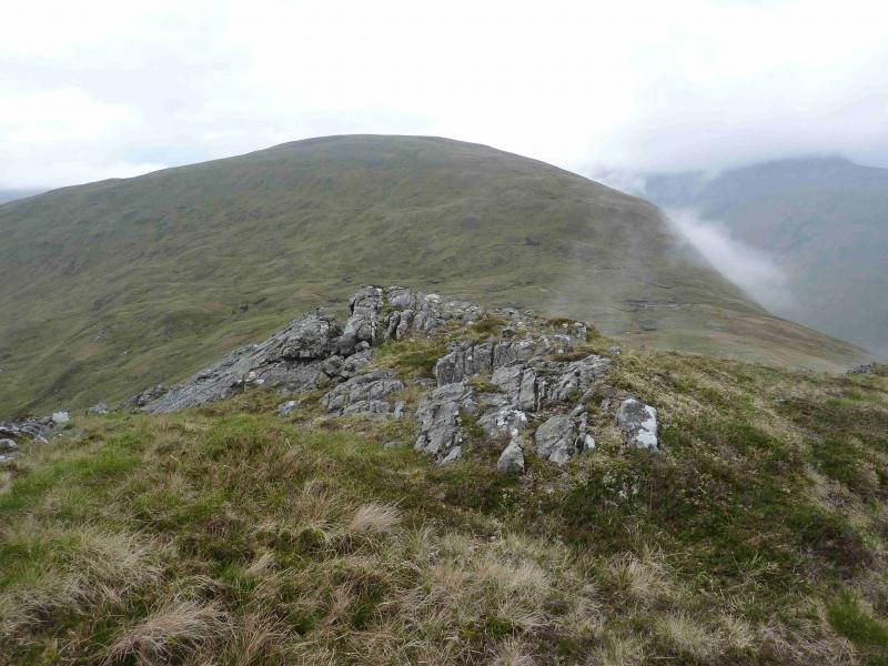
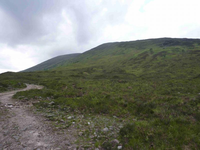
(1) From the end of the public road, go through the gate on to the private tarmac road (right of way) which passes through a very large landscaped garden. At the end, another gate gives access to the gravel track which continues up Glen Loy. Soon reach the end of the large plantation on the right, N. Walk up the W side of the plantation where there is a path and an ATV track which both reach the crest of the ridge where there is a wall. Some of the ascent may be populated by ferns in the Summer months. Once on the crest, follow the wall W. This wall goes almost all the way to the NE bealach of Meall a' Phubuill but there some sections of wall missing. Old metal fence posts fill the gaps but in places some have fallen over and may not be obvious. There is a medium cairn on the top of Druim Gleann Laoigh where one section of wall also ends. A descent W then longer ascent leads to the Pt 747 ridge where there are two small cairns which do not seem to serve any useful purpose. Continue to where the wall finally runs out then descend into the bealach on the most distinct path of the whole route. Once in the bealach, ascend easy grassy slopes W then SW (only faint path) to reach the medium cairn on a broad plateau which marks the summit of Meall a' Phubuill, 774 m. There are a few remaining old fence posts on the ascent but too few to navigate by and they pass about 200 m to the N of the cairn.
(2) Descend by the same route to enjoy the views E on the return.
Notes
(a) This walk took place on 30th May, 2012.
(b) It looks possible (not checked out) to descend to Glen Loy from the NE bealach of Meall a' Phubuill then walk back along the glen.
Photos - Hover over photo for caption. Click on to enlarge. Click on again to reduce.