Get Lost Mountaineering
You are here: Scotland » 10b Loch Eil to Glen Shiel » Loch Lochy to Loch Quoich & Glen Dessary
Meall na h-Eilde & Geal Charn
Meall na h-Eilde & Geal Charn from Chia-aig car park
Start/Finish
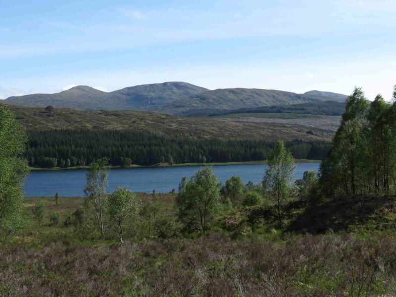
Car park at Eas Chia-aig waterfall which is near the east end of Loch Arkaig. The route to Loch Arkaig goes through Gairlochy which is usually reached by turning off the A82 about a mile north of Spean Bridge by the Commando Memorial.
Distance/Time
18 km About 7 hours.
Peaks
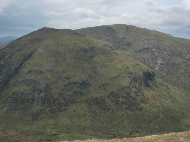
Meall na h-Eilde, 838 m, NN 185 946.
Meall Coire nan Saobhaidh, c 820 m, NN 174 951.
Geal Charn, 804 m, NN 156 942. OS sheet 34.
Introduction
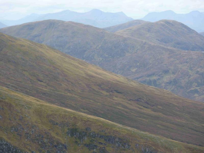
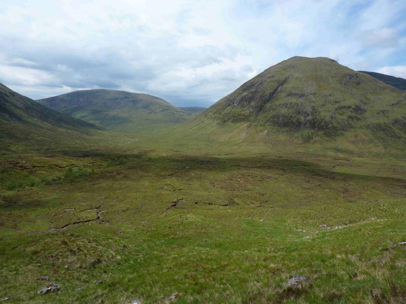
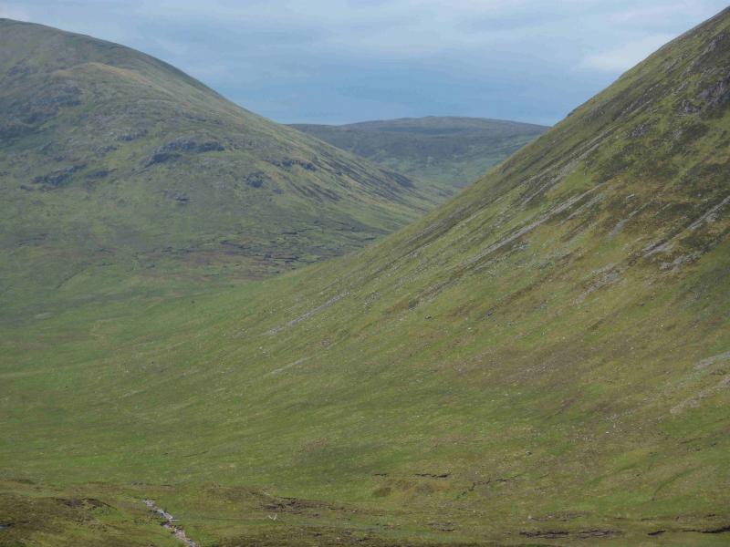
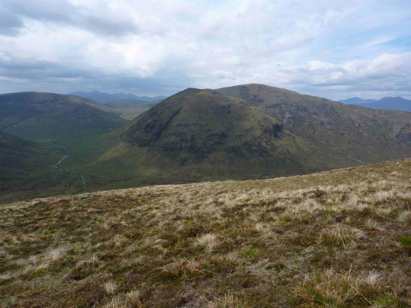
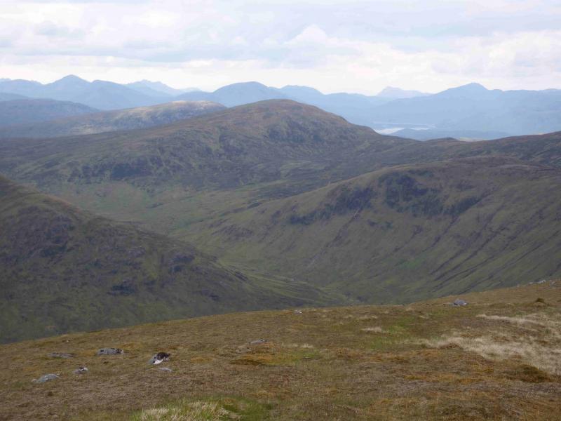
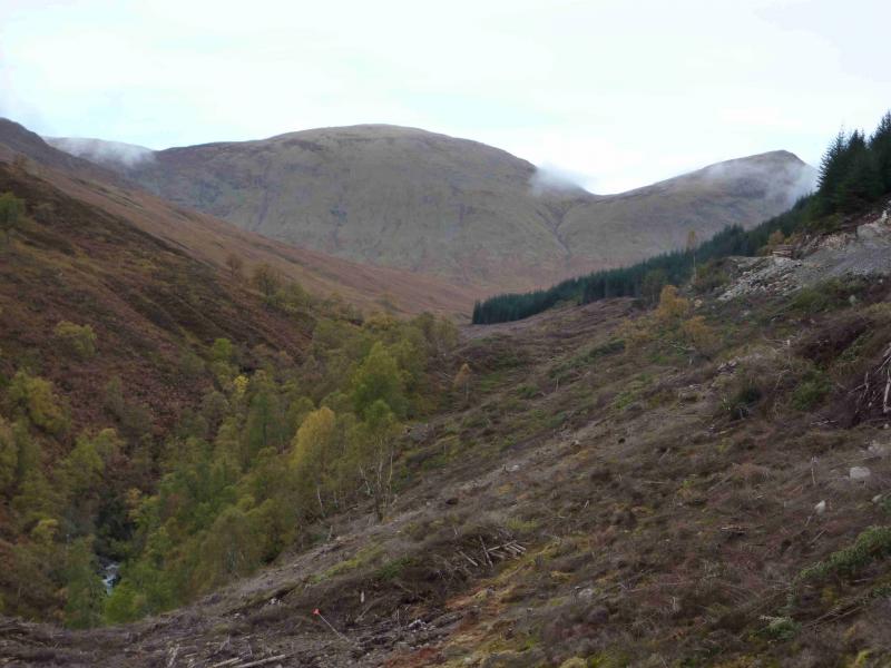
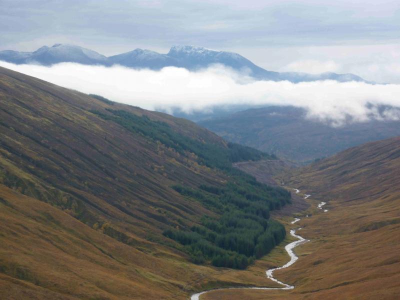
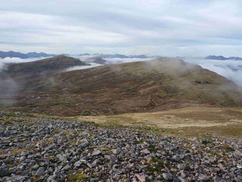
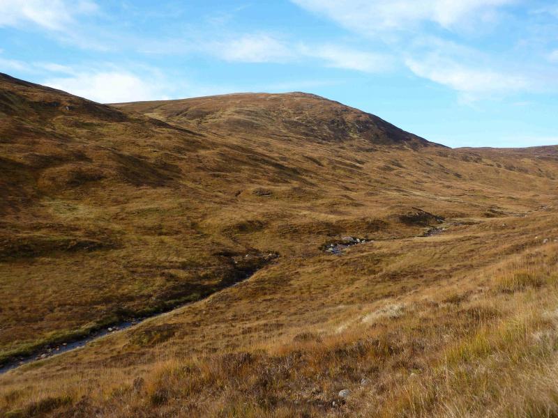
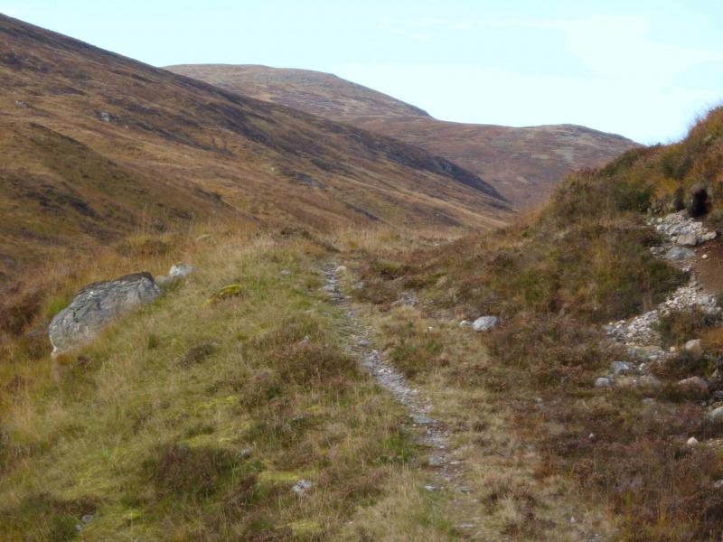
This is a fairly strenuous route to these two Corbetts. The terrain can be wet and boggy especially around upper Gleann Cia-aig and near the Allt Cam Bhealaich so tackling this route in a dry spell is recommended. On a clear day there are superb views in all directions including Ben Nevis, Grey Corries, the Loch Arkaig hills including Sgurr na Ciche, the Loch Quoich hills and hills further north. Most prominent however are the Loch Lochy hills especially the triangular peak of Ben Tee but there are also fine views of Sron a' Choire Gharbh and Meall na Teanga. The bealach between the two Munros is almost as impressive as that in Glen Etive between the Buachailles. One warning however, in June 2012, the forest near the start was being cleared and the path/track near the start was officially closed so it is worth checking with the Forestry Commision (Lochaber) before taking on this route. In June 2012, there was heavy felling machinery in operation and the old path was littered with felled trees which were very difficult to walk over. The notice at the time said the path would reopen in July 2012 but in October 2012, it was still closed and a new notice said the closure would be until Autumn 2013! Part of the tree clearing operation is to gradually remove the lovely old forest track in upper Gleann Cia-aig. All that is in its place so far are the caterpillar tracks of the machinery. One wonders if the old paths and tracks will ever be restored.
Route
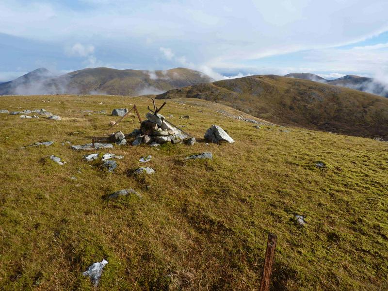
(1) From the car park, walk up the path above the waterfall and follow this until it joins a track heading N on the E side of the river. When the track finally leaves the forest, cross the stile and follow the path to the footbridge over the river. However, if the forestry work has not finished then the path above the waterfall is likely to be closed and/or blocked. An alternative is to walk back along the road for about 600 m to where a forestry track heads N. Follow this up. At the first junction go left (almost back on oneself). At the second junction, ignore the minor track going left and continue ahead. This track will now go past where the path would have joined. There may be lots of notices about access and dangers so ignoring them is at your own peril. On the forestry track approach, there is a sign for a cave which might be worth investigating. Once across the footbridge, there is a path which goes up Gleann Tarsuinn on the N side of the burn; this is not much use and it is better to strike N alongside the burn going to the bealach between Meall na h-Eilde and Meall an Tagraidh. There are hints of a path but the ground is not too bad anyway. A full frontal assault up S flank is quite steep and some would find it unnerving especially in winter conditions. A line of old fence posts ascend on the E side of the burn before crossing higher up and passing close to the summit of Meall na h-Eilde. A prominent medium sized cairn marks the summit of Meall na h-Eilde, 838 m.
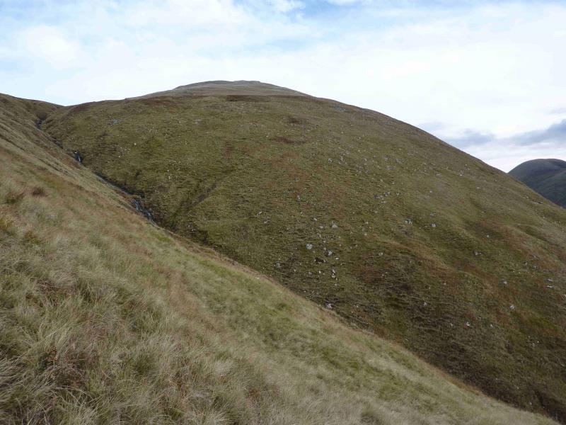
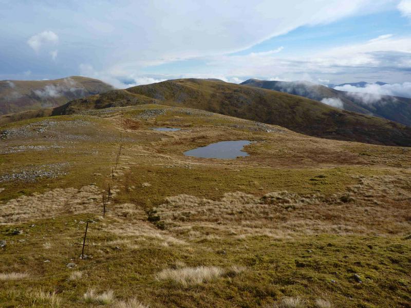
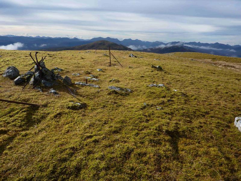
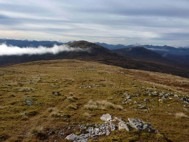
(2) Descend N then more NW, following the line of fence posts to the Bealach Choire a' Ghuirain then up W to the small cairn which marks the summit of Meall Coire nan Saobhaidh, c 820 m.
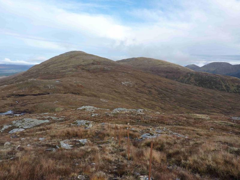
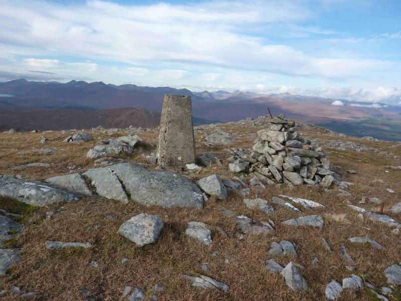
(3) Descend SW, still following the fence posts, into the Bealach Carn na h-Urchaine, then ascend steeper ground up to the medium cairn and trig point which mark the summit of Geal Charn, 804 m. Note that the route of the fence posts between Meall Coire nan Saobhaidh and Geal Charn goes through boggy ground in the bealach and up very steep ground after so it is best to detour away from the fence posts in places.
(4) Descend SE down easy grassy slopes, no fence posts, to the headwaters of the Allt Dubh. In spate conditions, cross the burn as high as possible but, normally, it is easy to cross. There is a path cum track down the glen but it is not in good condition and is quite boggy lower down where it passes an aerial before reaching the orad near Achnasaul. Walk for about 3 km back to the start along the road.
Notes
(a) This walk took place on 29th July, 2000, and 16th October, 2012.
Photos - Hover over photo for caption. Click on to enlarge. Click on again to reduce.