Get Lost Mountaineering
You are here: Scotland » 17 Islands » Raasay
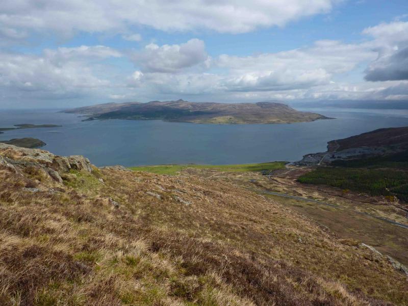
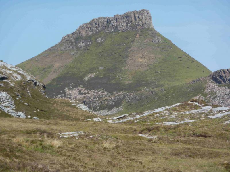
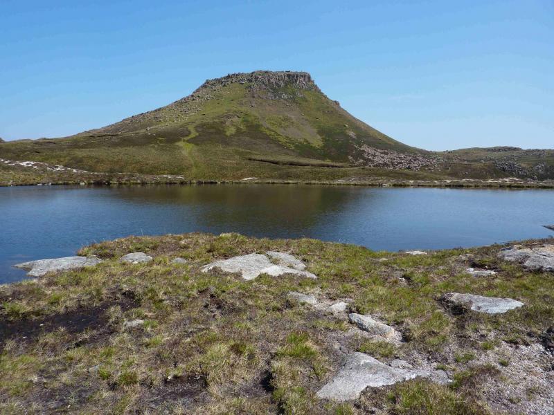
Dun Caan, Raasay
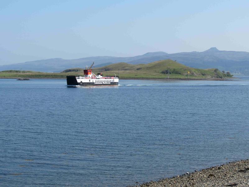
Dun Caan from Raasay ferry terminal
Start/Finish
Sconser Pier on A87, NE of Sligachan. Plenty parking is usually available.
Distance/Time
18 km. Approx 6 hours.
Peaks
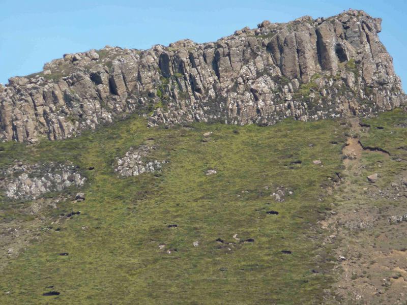
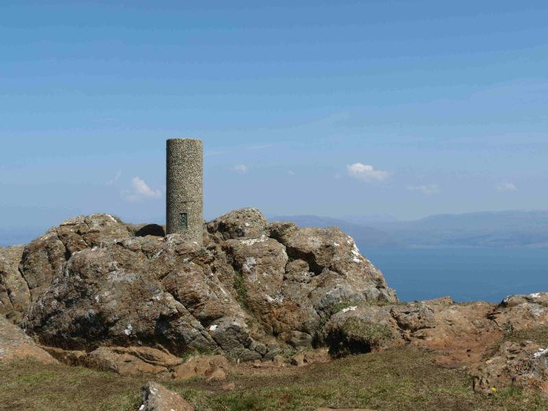
Dun Caan, 443 m, NG 579 395. OS sheet 24 or 32.
Introduction
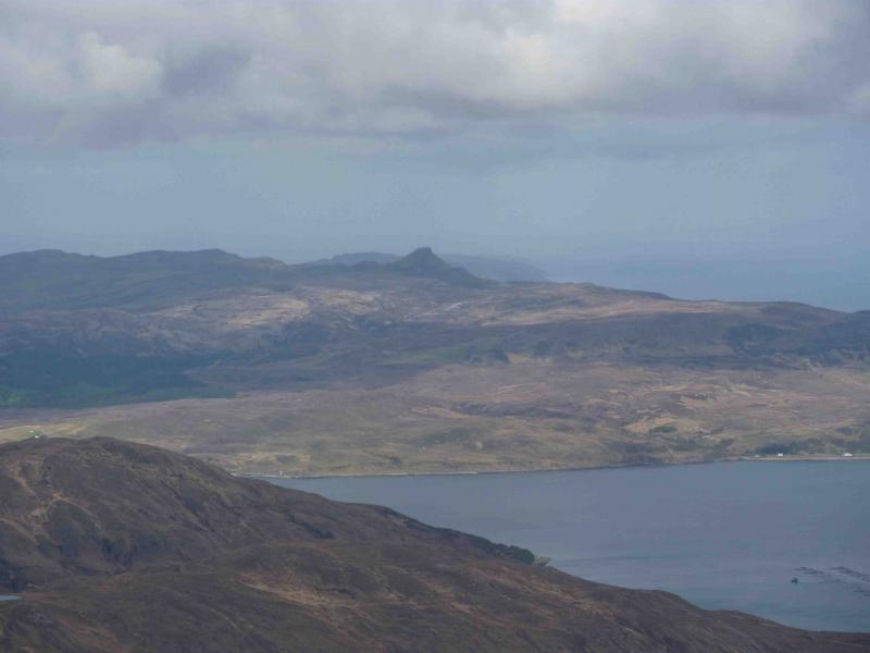
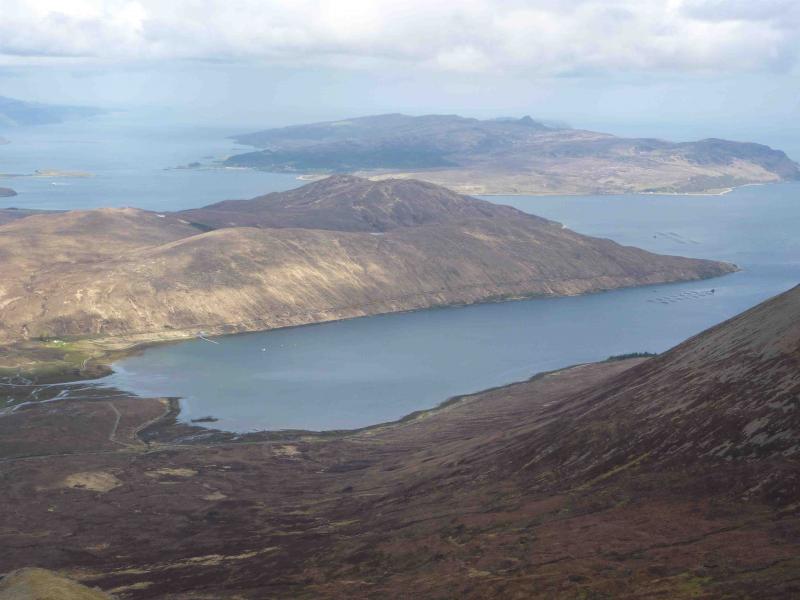
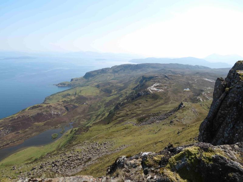
Those who drive between Broadford and Sligachan, on a clear day, cannot fail to notice Dun Caan, with its distinctive pyramidal cone with the top seemingly sliced off. It is the highest hill on Raasay and offers a good day when higher hills, especially the Black Cuillin, are in cloud but do save it for a good day when the views are tremendous. The ferries run about every 60 – 90 minutes from about 9 am to 6 pm but times can vary. The crossing takes about 20 minutes and, in 2012, the return fare was about £6 for a foot passenger. This route does not use the famous hand built “Calum's Road” which is further north but those planning an extended stay could easily visit it and other attractive parts of the island. The return route passes the isolated but well placed youth hostel. There are toilets at both terminals. Note that OS 24 inlcludes the whole of Raasay but that OS 34 only covers the southern end and part of this route goes off the map. This should not be a problem as one is on a good path which goes off the map to join a road which comes back on to the map.
Route
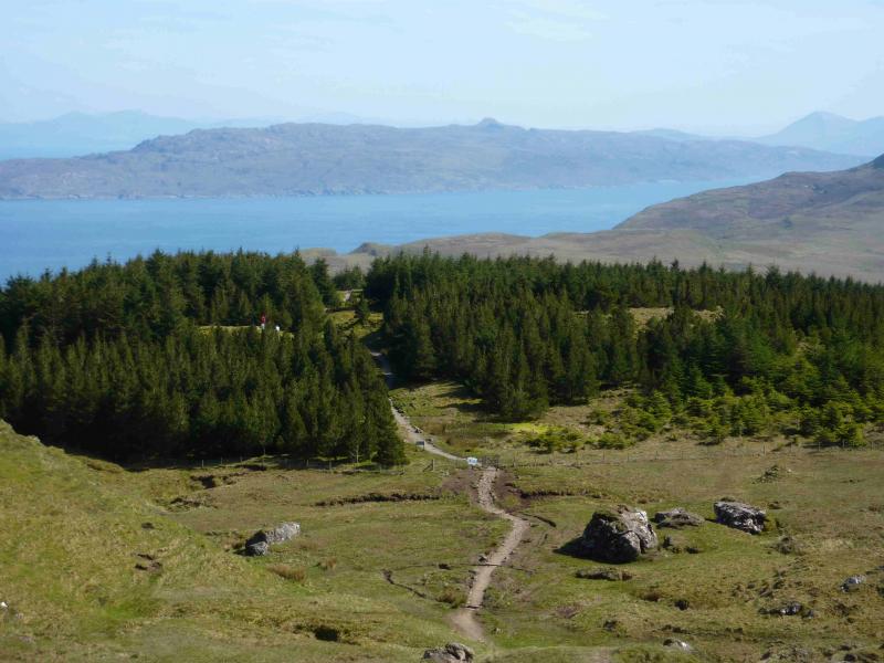
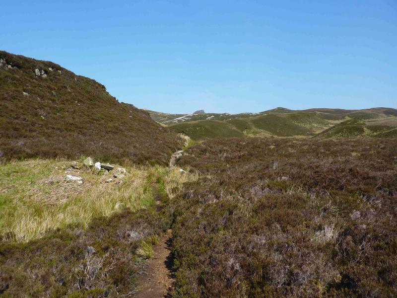
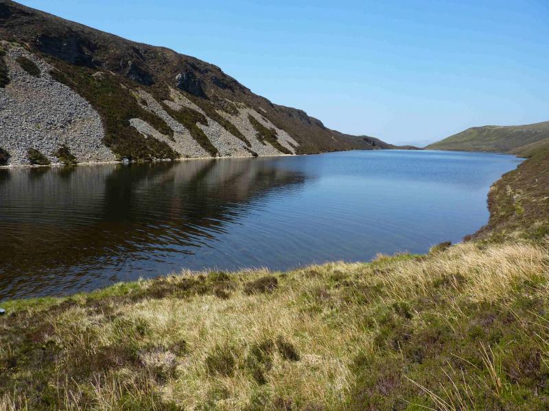
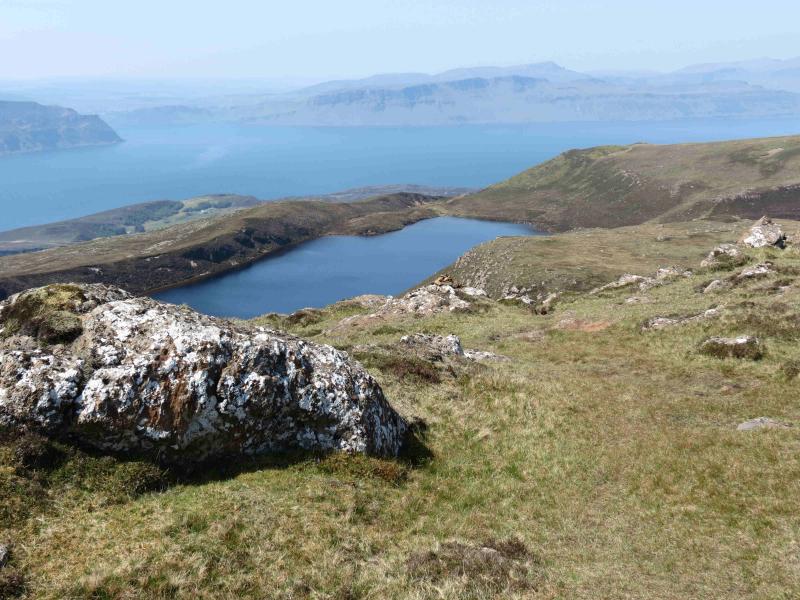
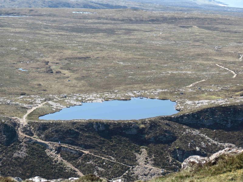
(1) From the Raasay ferry terminal, follow the obvious road around a left bend. At the junction, go right – this is the main road – and follow it S then E, ignoring the right turn which descends to Inverarish. Continue past a left turn* (for the youth hostel), over a bridge, past a right turn (Inverarish) then bend right uphill past Glen Lodge. When the road goes right, go straight on – signposted Dun Caan – and follow a track until another sign directs to a footpath. Follow the occasionally boggy footpath up the Inverarish Burn to Loch na Mna. About halfway up the loch, the path splits. Either follow the lower path by the loch and continue to the SSE end of Loch na Meilich or take the higher path along a crest to a small lochan from where one can descend to the lower path again. The advantage of the upper path is better photo opportunities but the return route described comes back to the small lochan anyway. From Loch na Meilich, an obvious path heads roughly N then E and climbs to the trig point which marks the summit of Dun Caan, 443 m, although an outcrop slightly to the N seems of similar height. Besides the main path, there are other ascents possible, some involving scrambling or climbing.
(2) Return to Loch na Meilich and ascend the path to the small lochan from where an obvious path goes W then NW. Follow the path all the way to the tarmac road. Do not be tempted to take a shortcut where some low concrete posts appear as they are not marking a footpath but a water pipe! At the road, turn left, S, and follow it back to the junction above*, passing the youth hostel en route. At the junction, turn right and follow the road back to the ferry terminal.
Notes
(a) This walk took place on 25th May, 2012.
(b) A much longer return is to descend carefully down steep slopes towards Loch a' Chadha charnaich and then join the path to Hallaig. From here, there are several alternatives of paths, tracks and roads shown on the map with the longest going all the way around the south end of the island. Make sure you have enough time to catch the last ferry! In places, one can walk along the rough shore line but progress will be slower.
Photos - Hover over photo for caption. Click on to enlarge. Click on again to reduce.