Get Lost Mountaineering
You are here: Scotland » 17 Islands » Skye
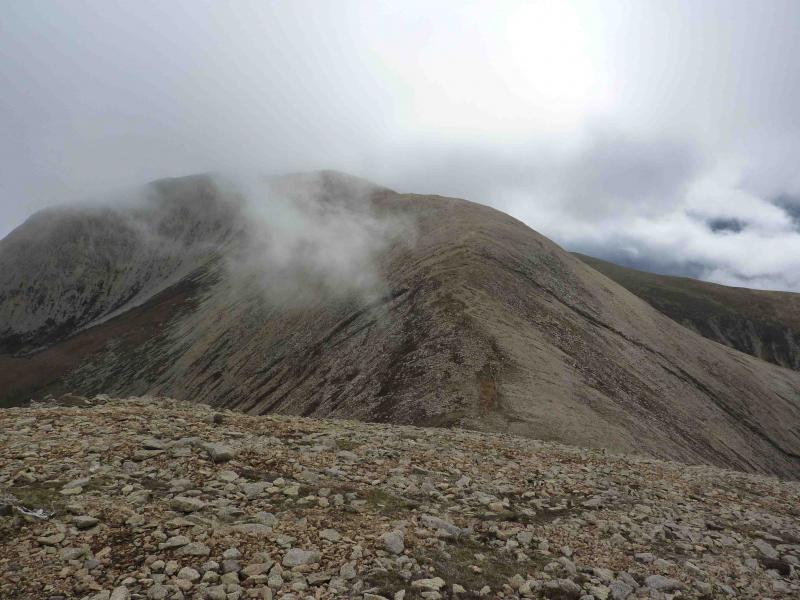
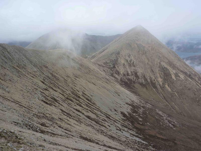
Beinn Dearg Mhor from Sligachan
Beinn Dearg Mhor from Sligachan
Start/Finish
Sligachan. Plenty parking is usually available.
Distance/Time
12 km Approx 6 hours
Peaks
Beinn Dearg Mhor, 731 m, NG 520 285.
Beinn Dearg Mheadhonach, 651 m, NG 514 271. OS sheet 32.
Introduction
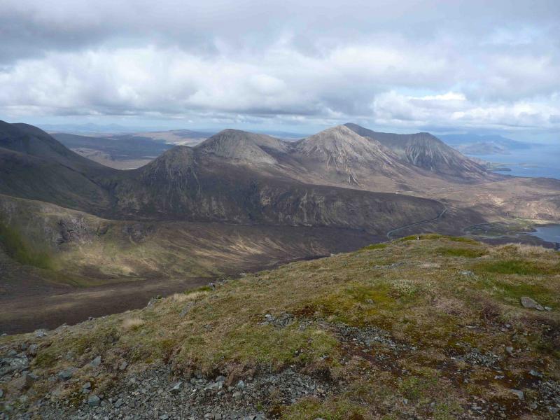
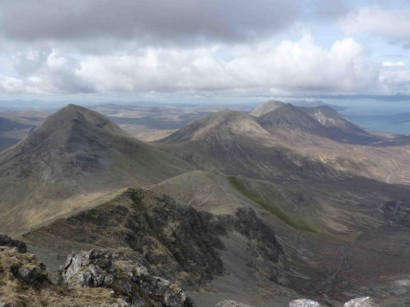
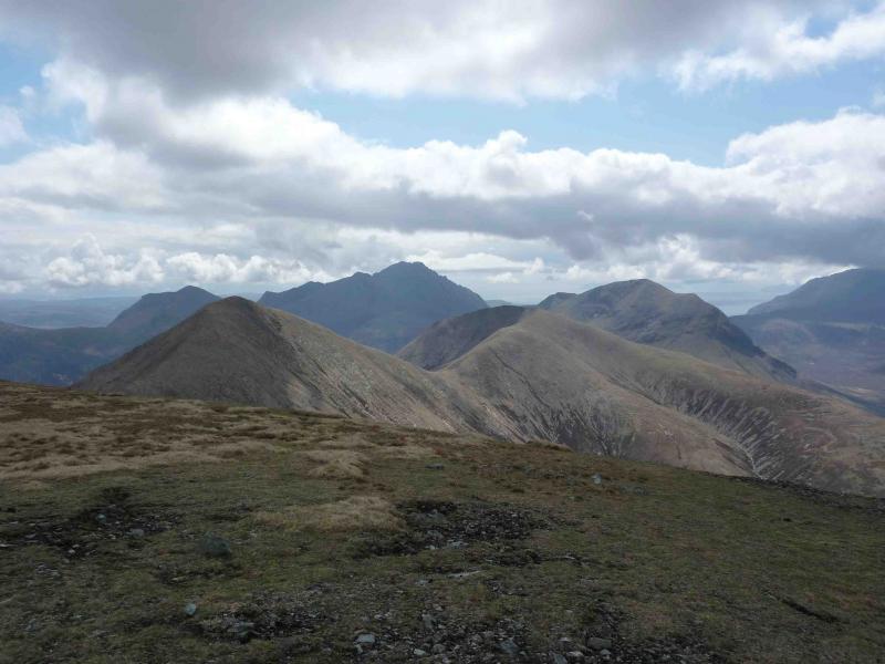
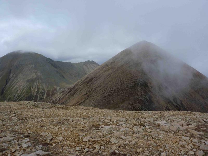
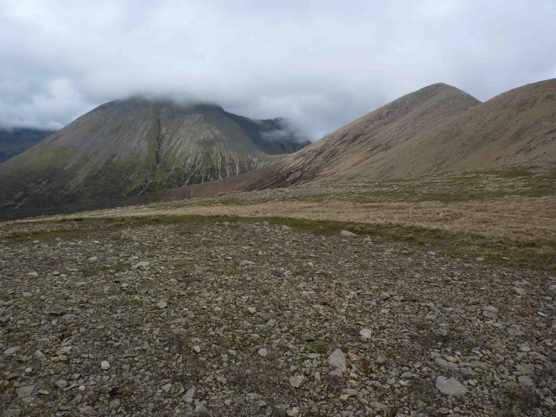
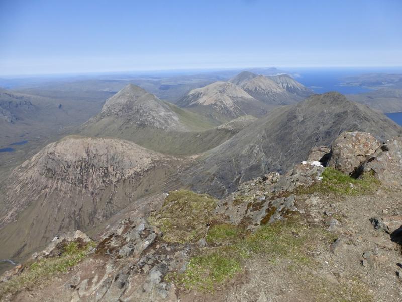
This hill offers a good day when higher hills, especially the Black Cuillin, are in cloud. It is part of the Red Cuillin and so is composed of red granite. There are excellent views to the whole of the Black Cuillin ridge as well as to Blaven, Clach Glas, Marsco, Belig and Garbh Bheinn. On a very clear day, Eigg and Rum are easily visible.
Route
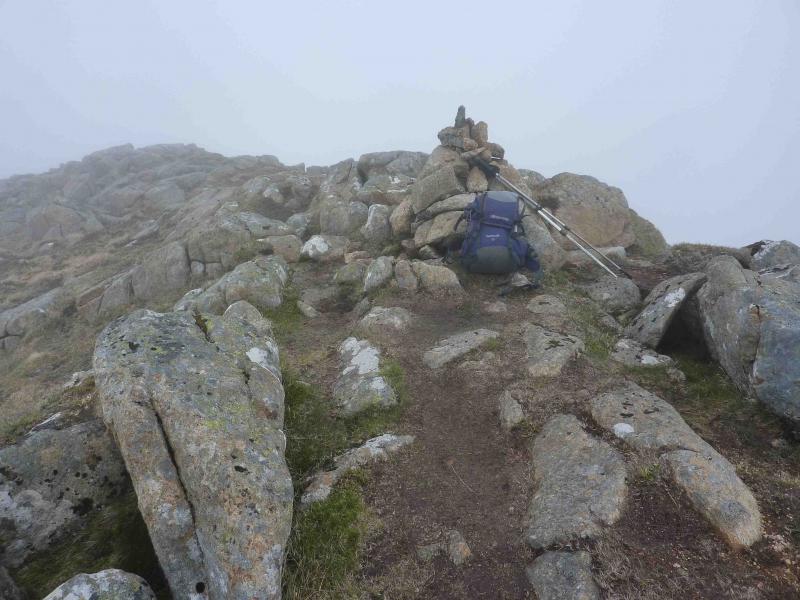
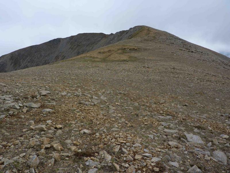
(1) Go out on to the main road towards Broadford and walk up the drive to Sligachan Lodge and the Bunkhouse. Walk past the bunkhouse and step over the low fence behind it to join a path on the left (N) bank of the All Daraich. This can be wet and boggy in places but not exceptionally so. Just before entering Coire Sgairde, there is a stream junction. Follow the minor burn left which leads up to the Bealach Sgairde between Glamaig and Beinn Dearg Mhor. The final steeper slope is a mixture of stony and grassy ground. There is a tiny lochan in the bealach which may disappear in a prolonged dry spell. From the bealach, ascend roughly S on a mixture of loose scree and grass with paths here and there to ease the ascent to a shoulder where the angle eases and the path becomes more distinct. Follow the path along a mainly grassy ridge at an easy angle to reach the large summit cairn of Beinn Dearg Mhor, 731 m.
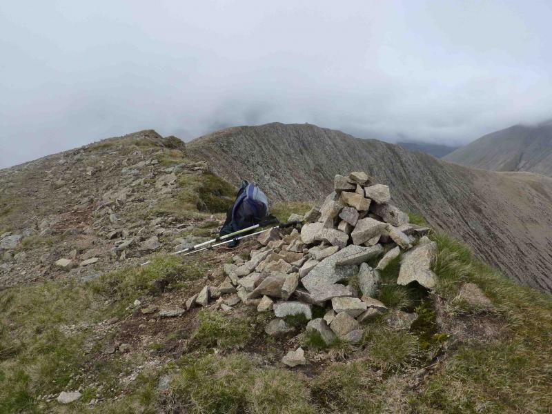
(2) Descend the SW ridge with a choice of paths through a mixture of scree and grass to reach the Bealach Mosgaradh. Ascend S on easy slopes with an obvious path to Beinn Dearg Mheadhonach, 651 m. There are two cairned tops on the summit ridge. The further, S, top is the higher.
(3) Return to the first top and immediately turn left at right angles to the ridge to follow a zig-zag path, with the odd cairn, down to the grassy ridge of Druim na Ruaige. There is an obvious path along the crest which drops NW off the nose down to wet and boggy ground just above Glen Sligachan then continues back to the start.
Notes
(a) This walk took place on 1st June, 2000 and 19th May, 2010.
Photos - Hover over photo for caption. Click on to enlarge. Click on again to reduce.