Get Lost Mountaineering
You are here: Scotland » 17 Islands » Skye
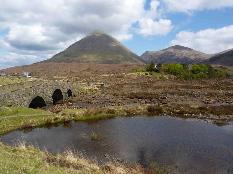
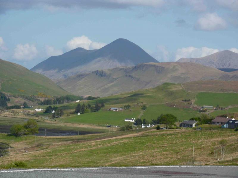
Glamaig
Glamaig from near Sconser
Start/Finish
Layby close to fence/gate at NG 537 315. If none available, park down Moll road just past the golf club. Sconser is on the road from Broadford to Sligachan.
Distance/Time
6 km. Approx 4 hours.
Peaks
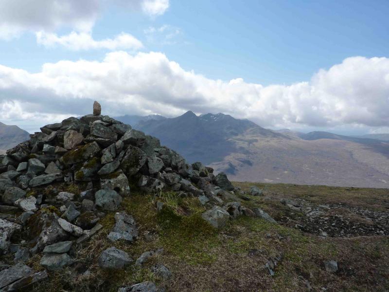
Glamaig, 775 m, NG 513 300.
An Coileach, 673 m, NG 524 305. OS sheet 32.
Introduction
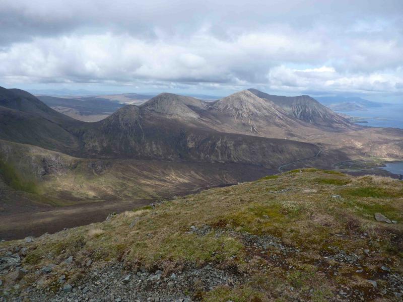
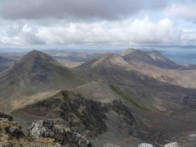
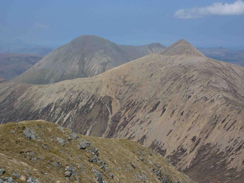
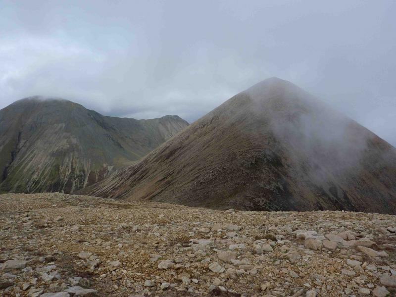
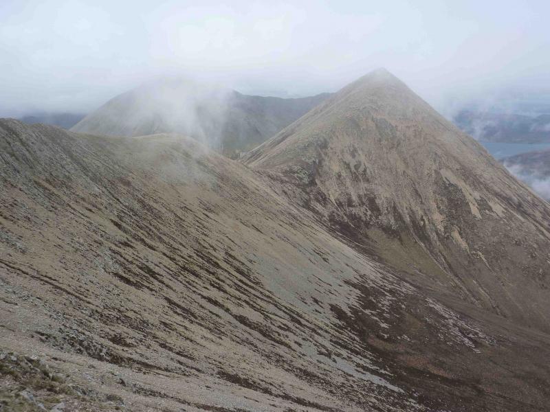
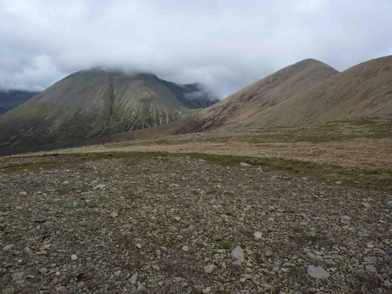
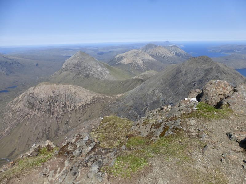
This hill offers a good day, short but strenuous, when higher hills, especially the Black Cuillin, are in cloud. It is part of the Red Cuillin and so is composed of red granite. There are excellent views to the whole of the Black Cuillin ridge as well as to Blaven, Marsco, Belig and Garbh Bheinn. On a very clear day, Eigg and Rum are easily visible.
Route
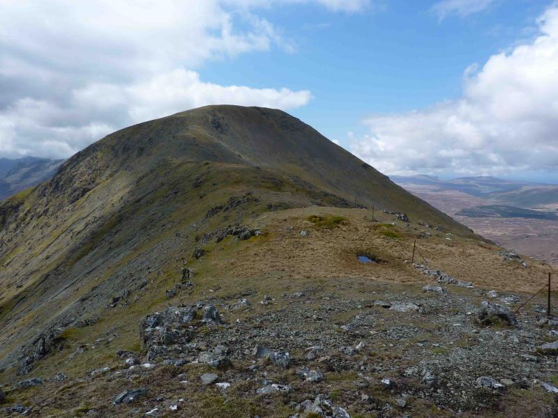
(1) Go through the gate and follow the path on the left of the fence which leads SW over initially boggy ground then climbs quite steeply to pass to the left of a prominent crag. Continue on steep grass with outcrops and crags with some opportunities for scrambling. The fence soon becomes a line of old fence posts and is a useful aid in poor visibility. After a long stiff pull, reach the small summit cairn of An Coileach, 673 m.
(2) Descend slightly SW, still following the line of old fence posts and a faint path before an easy ascent over a shoulder to the medium summit cairn of Glamaig, 775 m.
(3) Return by same route taking care on the steep descent from An Coileach.
Notes
(a) This walk took place on 31st May, 2000 and 17th May, 2010.
Photos - Hover over photo for caption. Click on to enlarge. Click on again to reduce.