Get Lost Mountaineering
You are here: England » Lake District » 6 North Western Fells
Grisedale Pike Horseshoe: Grisedale Pike, Hopegill Head, Sand Hill, Grasmoor, Crag Hill, Sail, Scar Crags, Causey Pike, Outerside & Barrow from Braithwaite
Grisedale Pike Horseshoe: Grisedale Pike, Hopegill Head, Sand Hill, Grasmoor, Crag Hill, Sail, Scar Crags, Causey Pike, Outerside & Barrow from Braithwaite
Start/Finish
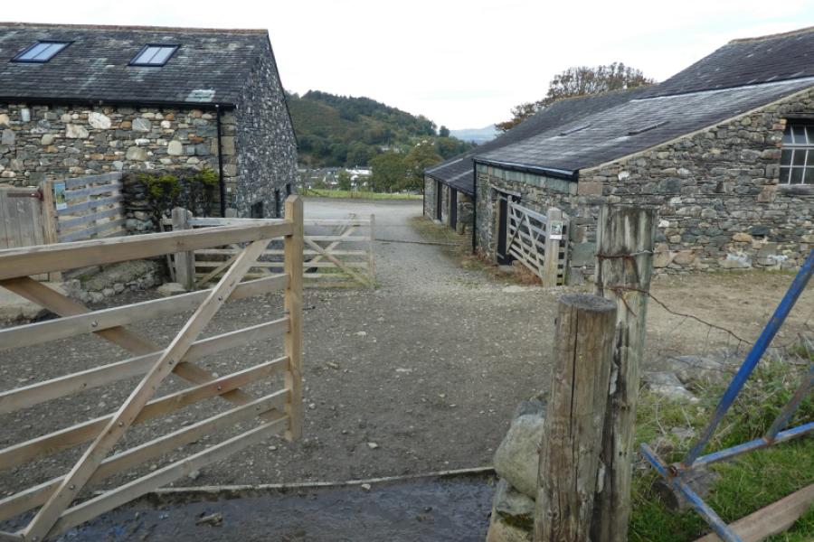
Braithwaite village about 3 miles W of Keswick. Park near the school if possible. The Royal Oak pub is at the top of this road and there is a time share complex opposite the school.
Distance/Time
18 km About 9 - 10 hours
Peaks
Grisedale Pike, 791 m, NY 198 226
Hopegill Head, 770 m, NY 186 222
Sand Hill, 756 m, NY 187 218
Grasmoor, 852 m, NY 174 204
Crag Hill, 839 m, NY 192 203
Sail, 773 m, NY 198 203
Scar Crags, 672 m, NY 208 207
Causey Pike, 637 m, NY 218 208.
Outerside, 568 m, NY 211 215.
Barrow, 455 m, NY 227 218. OL4 North Western Lakes
Introduction
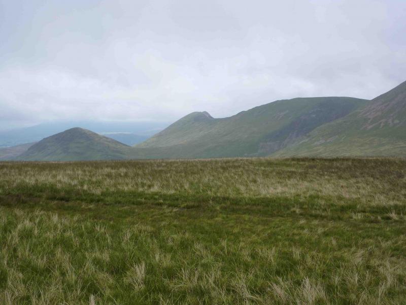
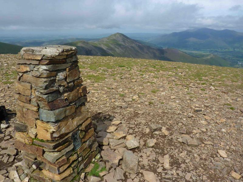
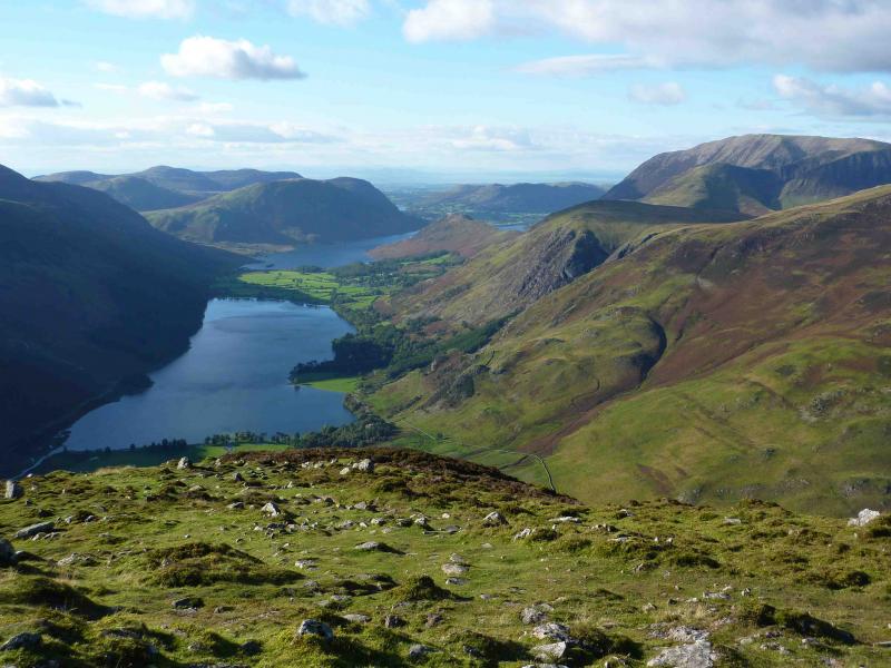
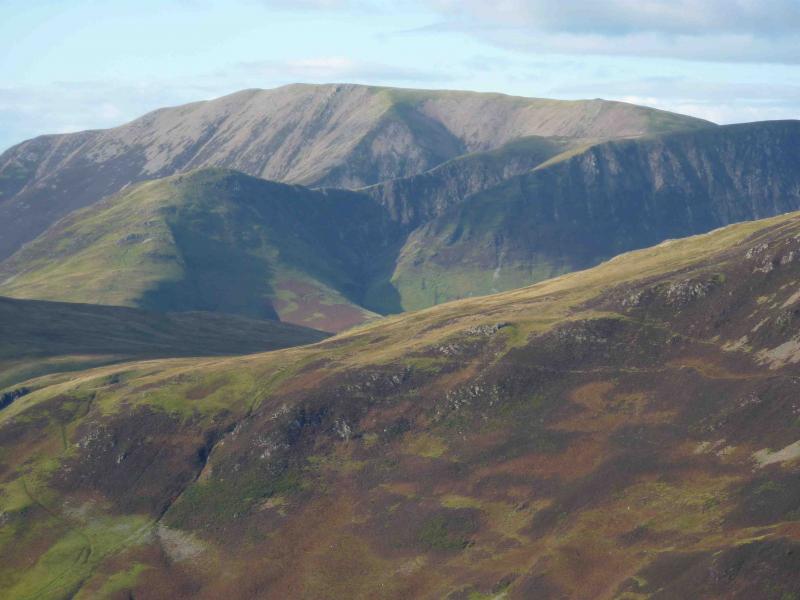
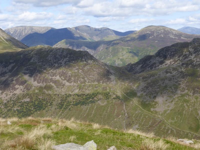
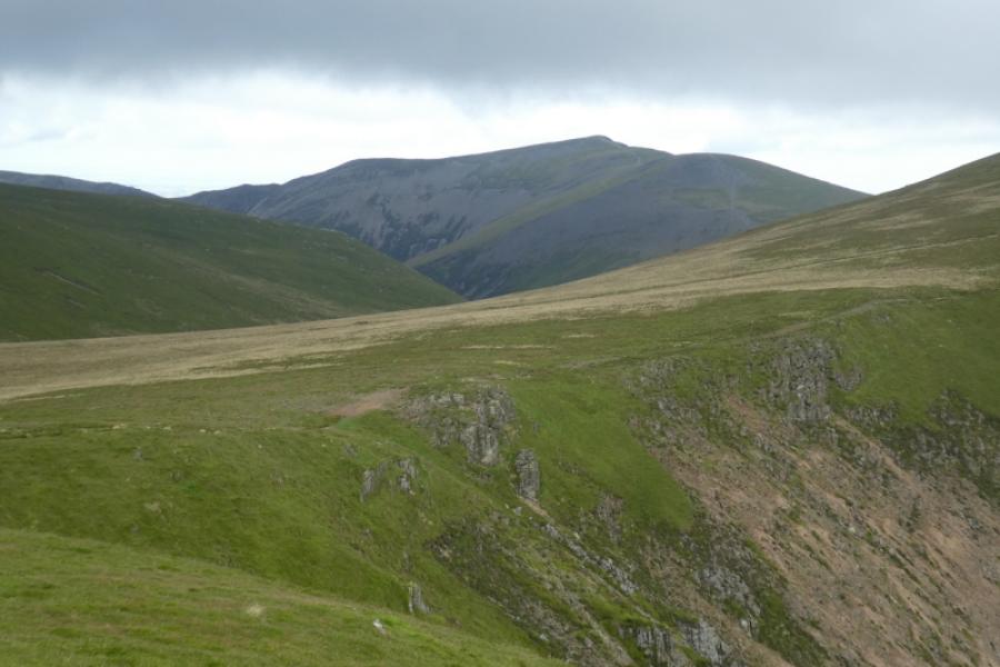
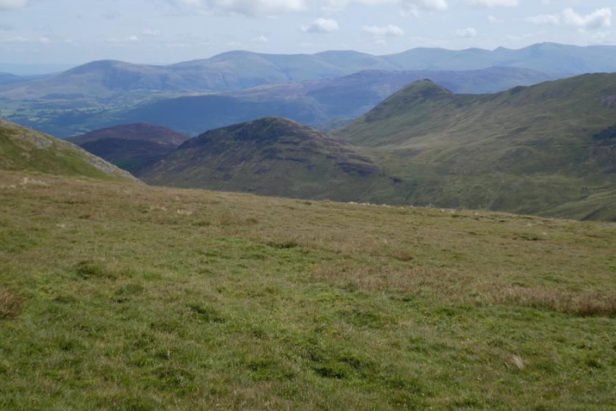
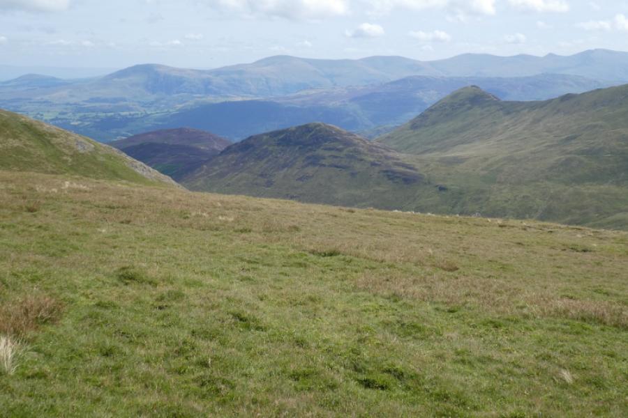
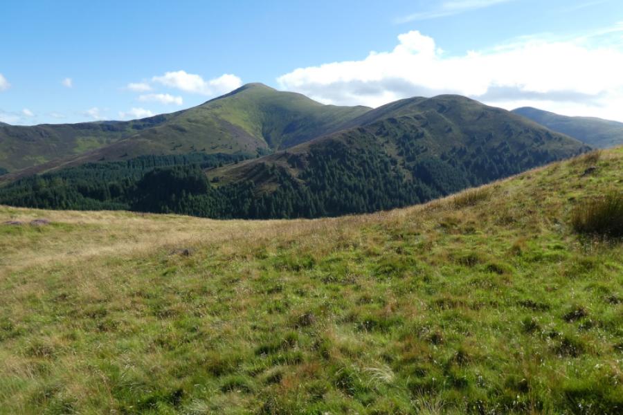
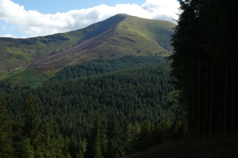
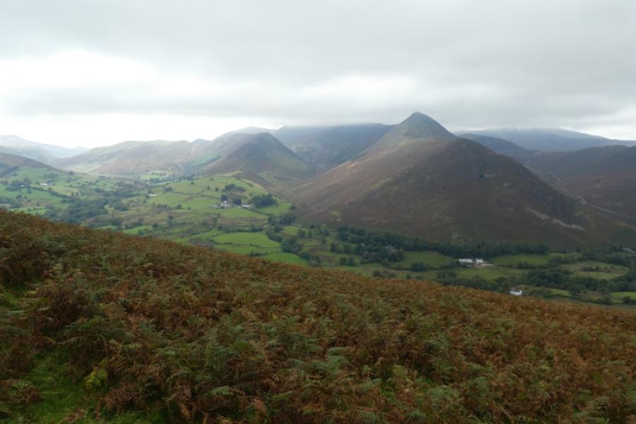
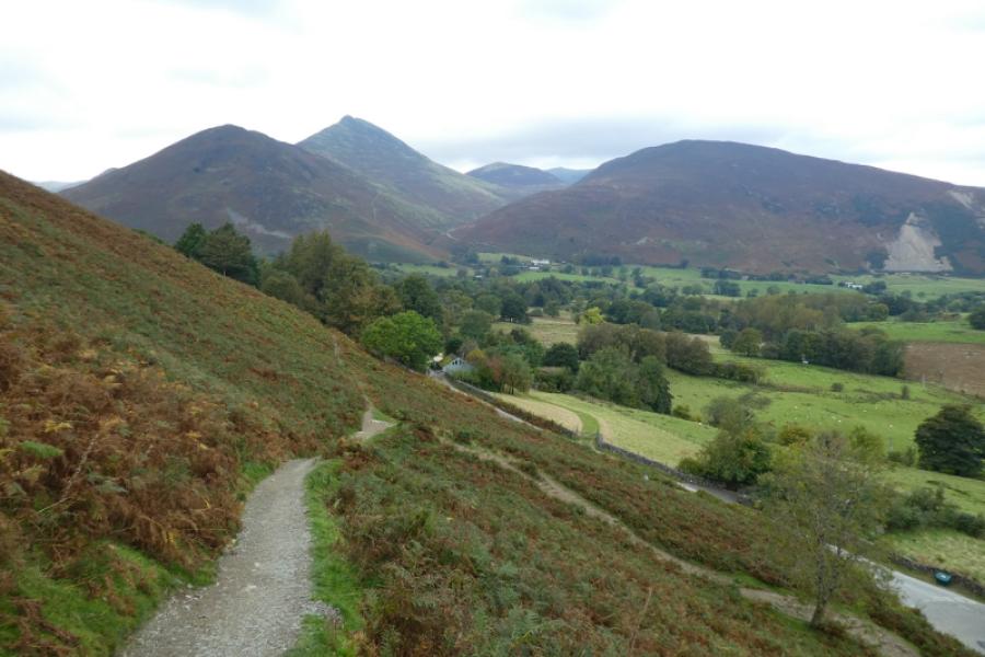
This is a very fine walk with excellent views on a clear day which is not unexpected from a walk which visits ten tops. Skiddaw, Blencathra, the Helvellyn Range, the Scafells and Great Gable can all be seen. In mist, navigation is relatively straightforward due to very good and distinctive paths. Grasmoor is, strictly, not part of the horseshoe but it is a simple extension and provides excellent views to the Buttermere Fells and beyond as well as Buttermere and Crummock Water. There is now a reasonably decent path from Causey Pike to the foot of Outerside which allows both Outerside and Barrow to be included making the horseshoe as complete as possible. Wandope could easily be added to the round, after Grasmoor and before Crag Hill.
Route
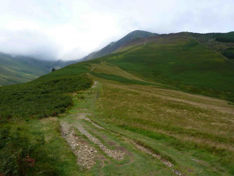
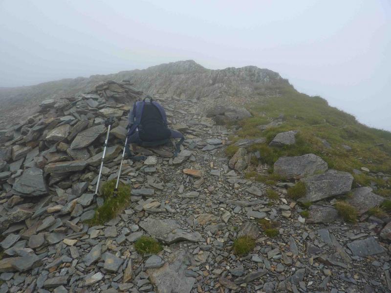
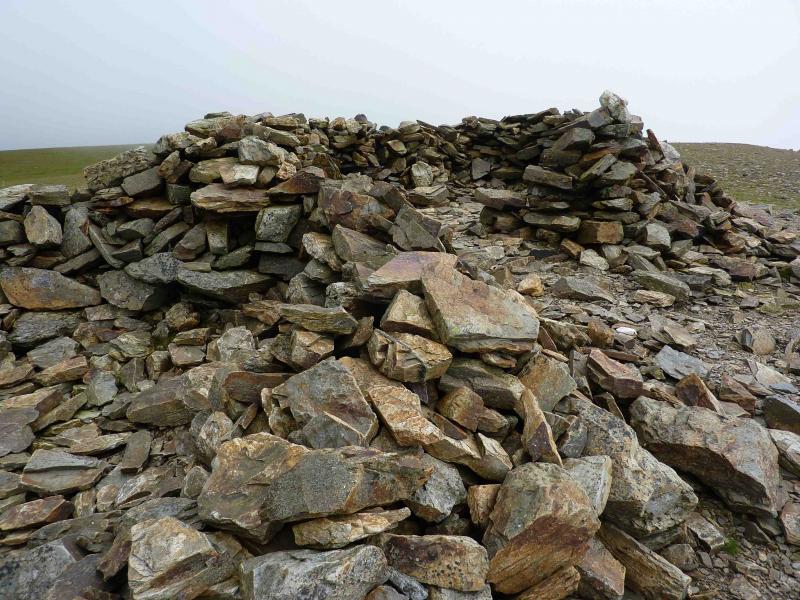
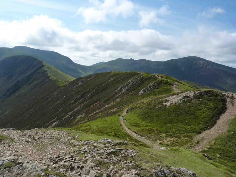
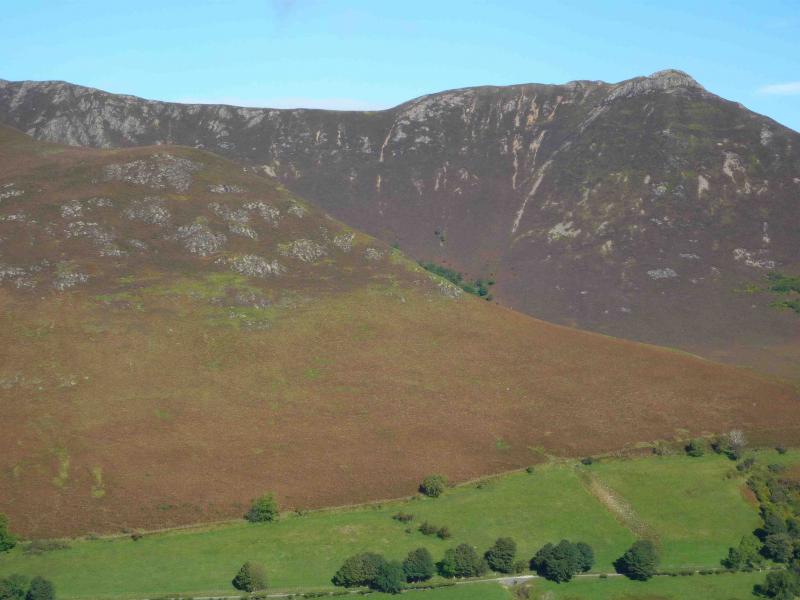
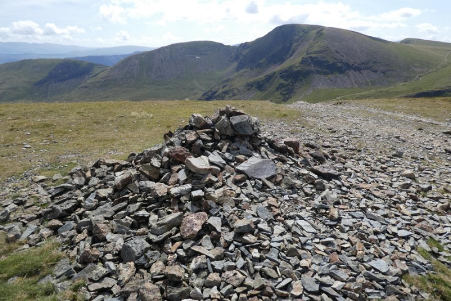
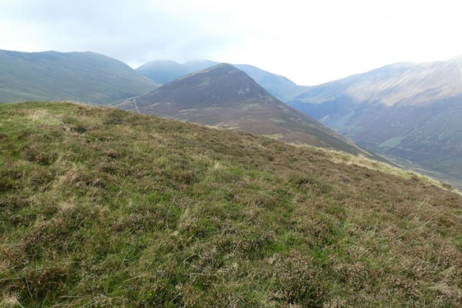
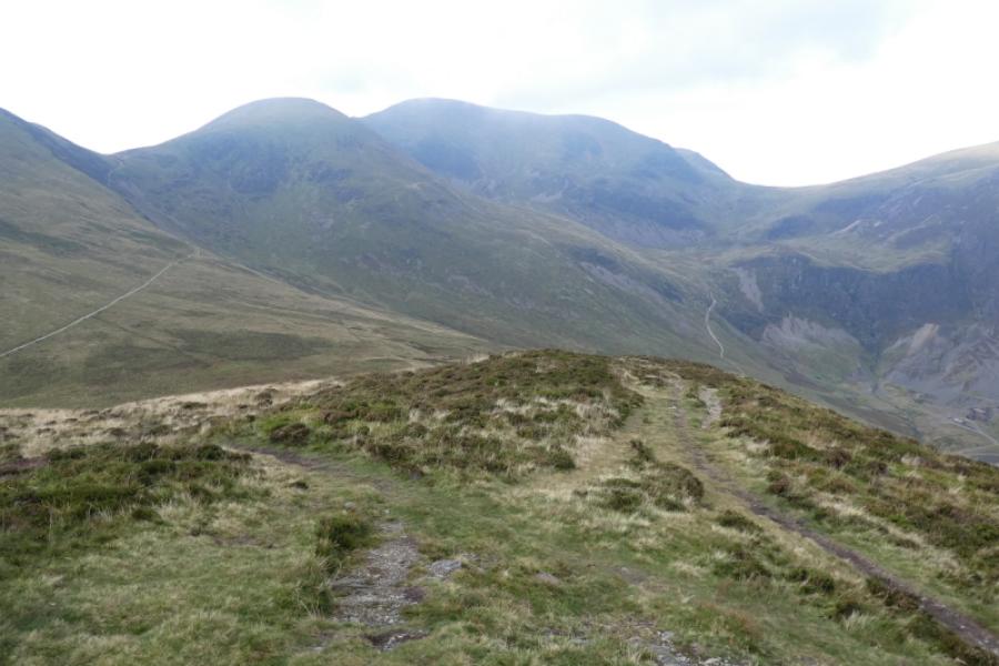
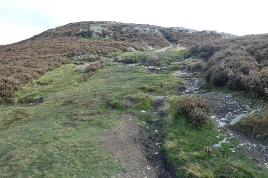
(1) From the Royal Oak, walk up the Whinlatter Pass road until past the Hope Memorial Camp (on the right) to reach a car park on the left up the hill. This car park has steps just inside it to the right with a level track coming out of the left side. Go up the steps which soon become a narrow but obvious and moderately steep path. Before too long the angle eases and the path follows the edge of a wood (on the right, N). After the path diverges from the wood, there is a reasonably level grassy section before the path begins to climb more steeply on Sleet How and the ground becomes increasingly stony and rocky. When the angle eases, the small summit cairn of Grisedale Pike, 791 m, is reached on a small plateau.
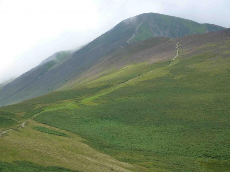
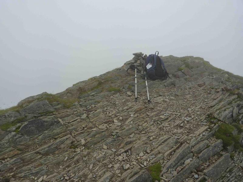
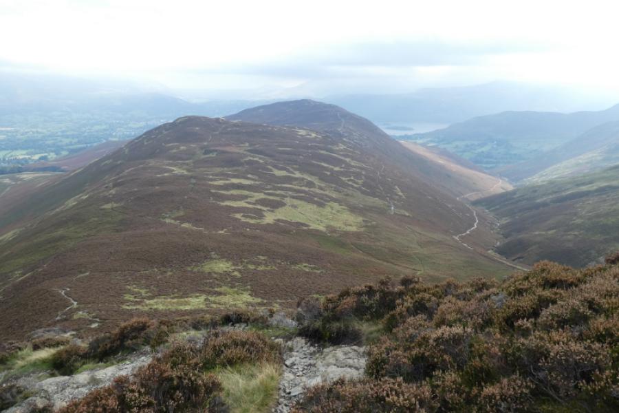
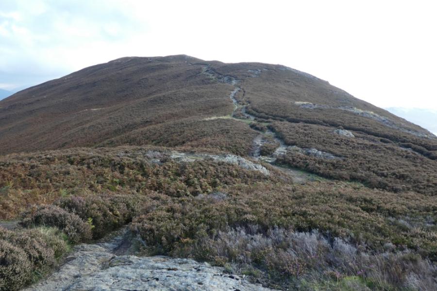
(2) Descend SW, still on a good obvious path which follows an old stone wall, before a short rise leads to a small cairn on an unnamed top at 739 m. Some people mistakenly take this to be Hopegill Head but this is still nearly a km away. Continue on the good path, descending slightly then climbing gradually on a good path keeping the edge on the right. Ignore the left fork (not on old maps) which cuts across Sand Hill towards Coledale Hause. The path turns W then WNW and ascends to a small rocky plateau with a small cairn which is Hopegill Head, 770 m. Note that, just before the summit, there is a reverse left fork, which is the descent route towards Sand Hill.
(3) Retrace to fork and go right on the obvious path to reach Sand Hill, 756 m, which has a small cairn.
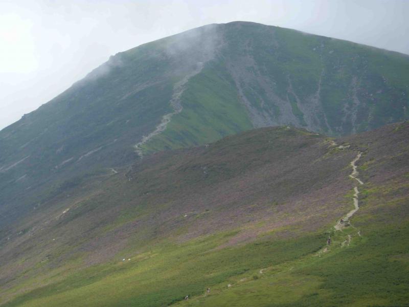
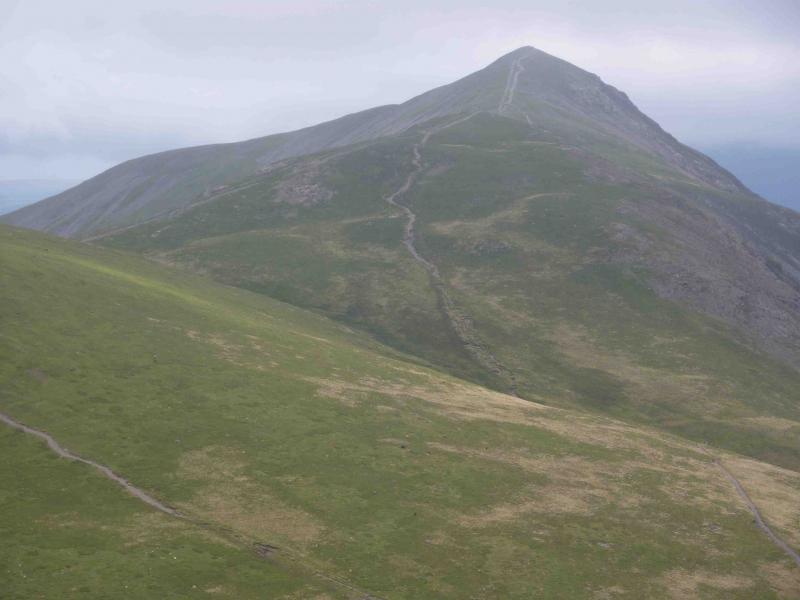
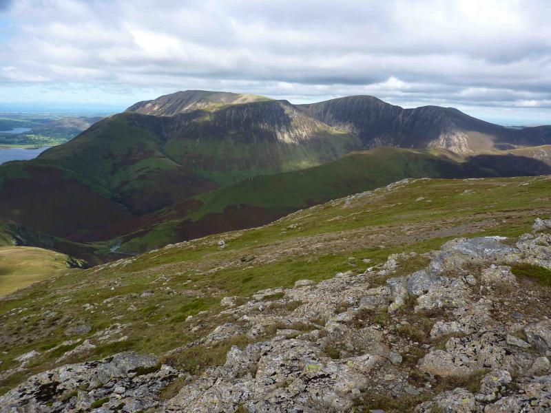
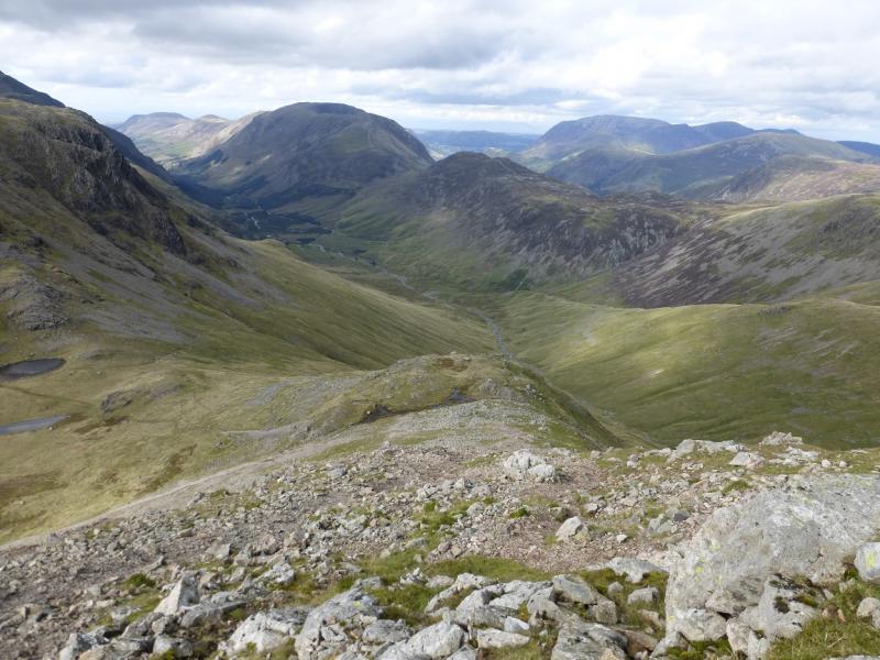
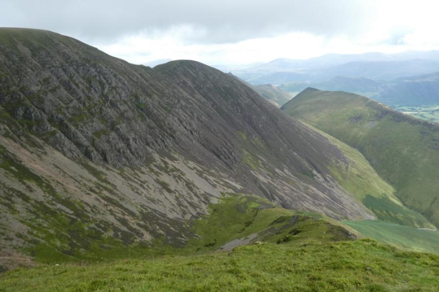
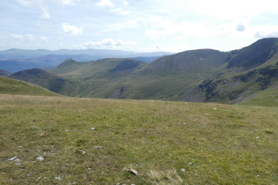
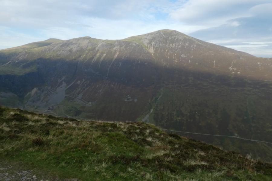
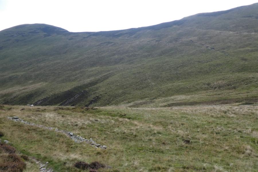
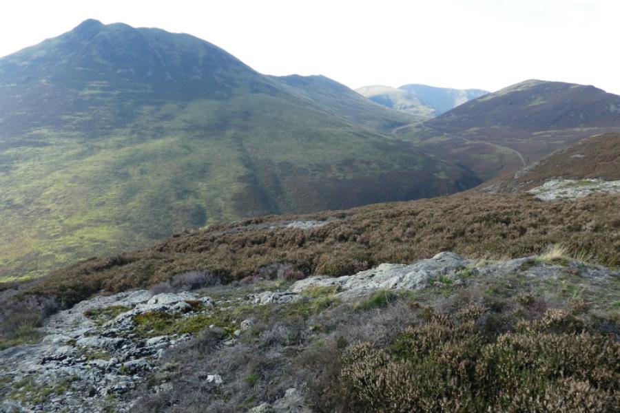
(4) Continue down Sand Hill, almost due S, still on an obvious path which splinters in the scree but is still easily followed. If in doubt, trend slightly left, E, to reach Coledale Hause. The main path goes up the E side of Gasgale Gill. Leave the main path and cross the gill as soon as possible and follow the obvious ridge on its other side going roughly W. The path is initially faint and wet but soon becomes more distinct. Follow the path easily as it goes along the edge overlooking lower Gasgale Gill. This edge is riven by attractive gullies and views both into Gasgale and across to Whiteside Edge. The edge swings S with the path and soon the main ascent path from the E is reached which can be followed across the grassy plateau for a short distance to reach the large shelter cairn of Grasmoor, 852 m.
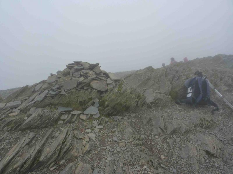
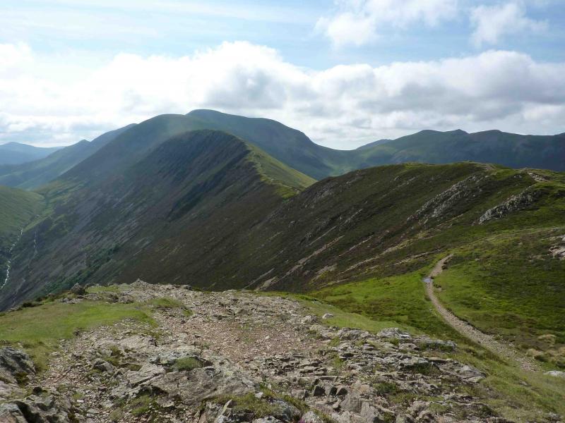
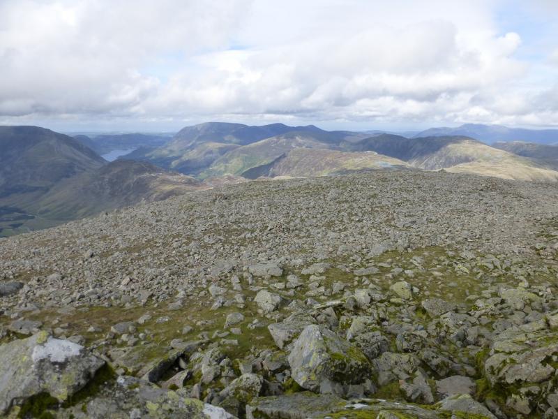
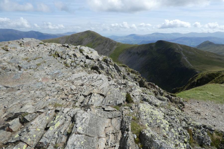
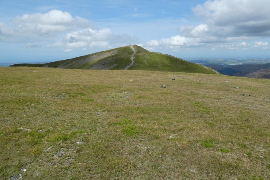
(5) Retrace the main path E which skirts the crest on the right, S, to reach the col between Grasmoor and Crag Hill. Continue ahead, still on an obvious path, ascending about 120 m, to reach the trig point on the summit of Crag Hill, 839 m.
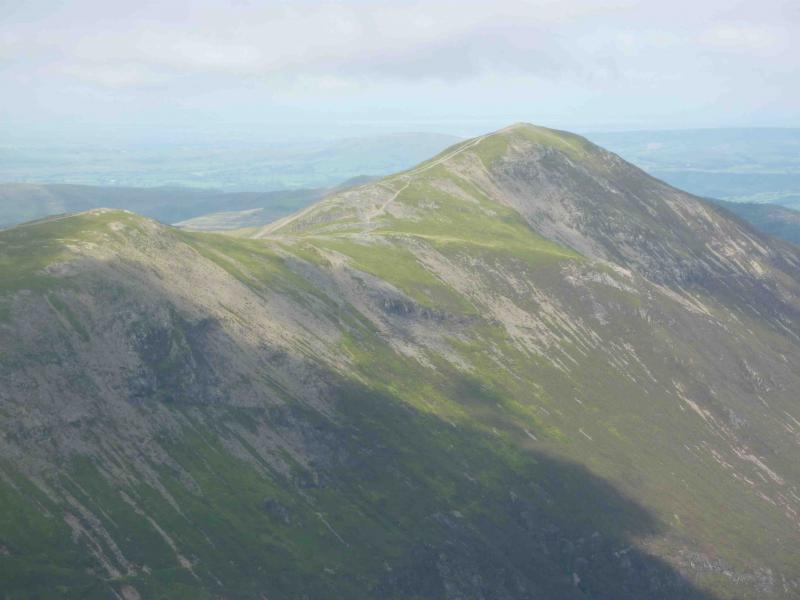
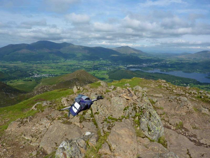
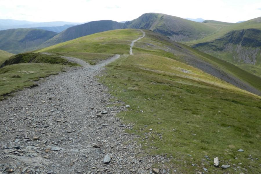
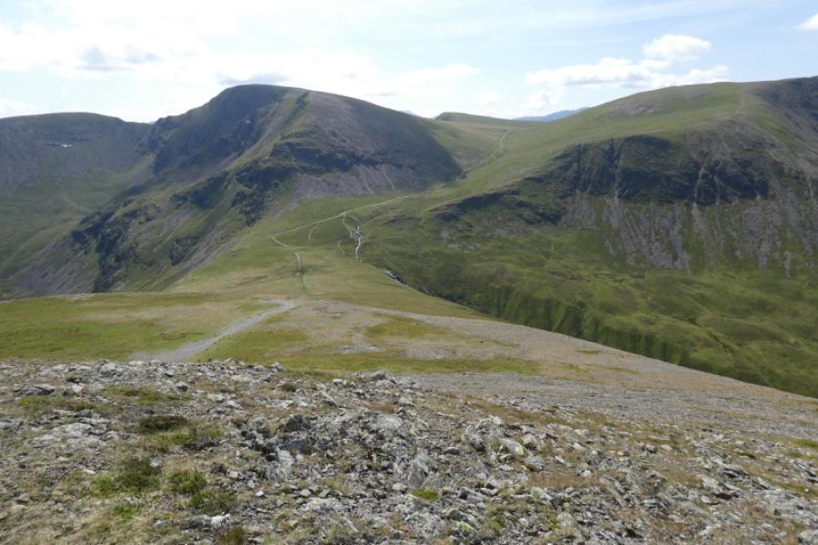
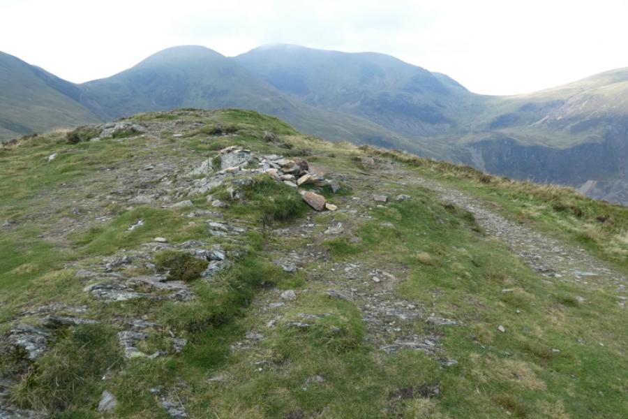
(6) Continue ahead on obvious path E, descending then ascending to Sail, 773 m, where there is a small cairn.
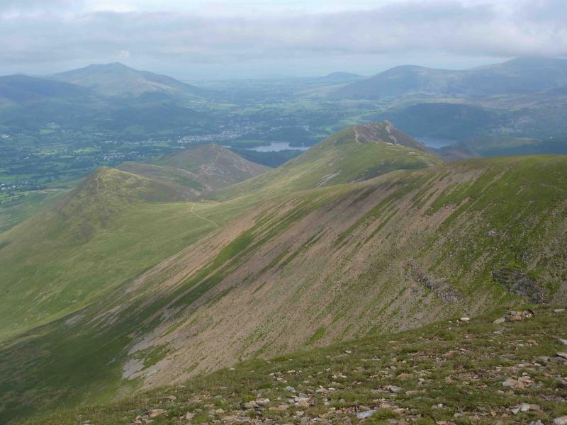
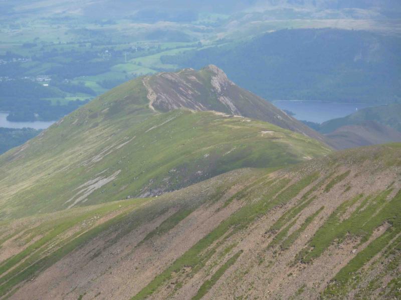
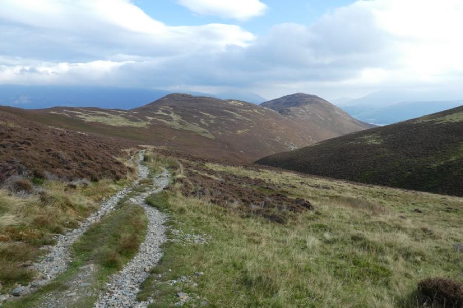
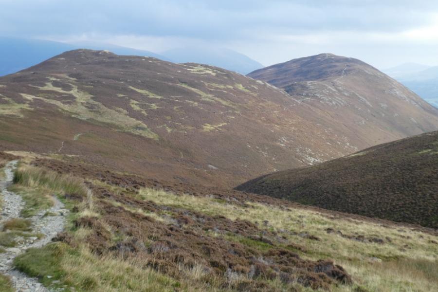
(7) Descend ahead, still on good path, to a grassy col then continue ahead to the to the top of Scar Crags, 672 m, then along the ridge to Causey Pike, 637 m. Note the path going off left, towards Outerside, before reaching the summit.
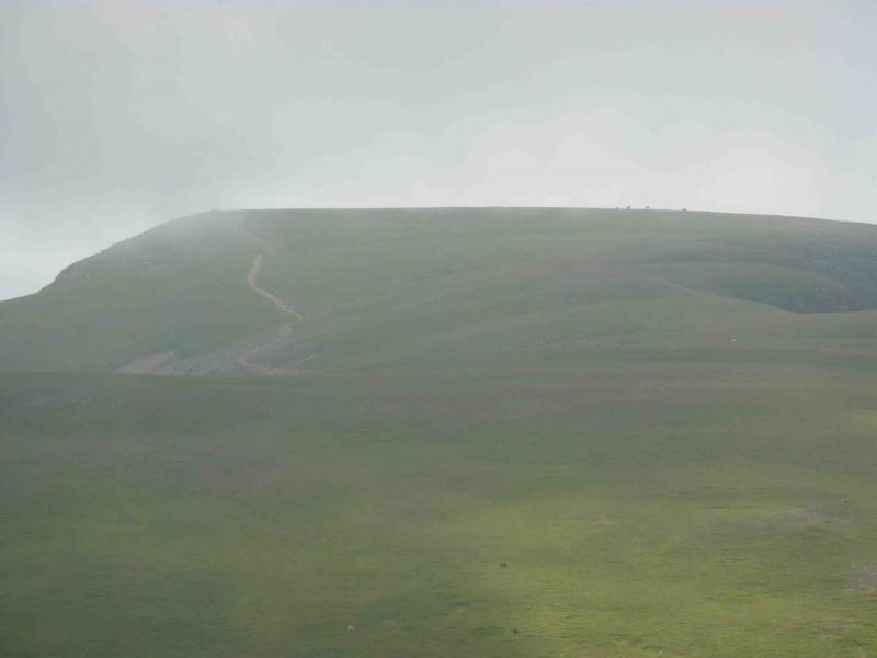
(8) Retrace to the path going towards Outerside and descend down it to reach the main track between Causey Pike and Outerside. The path up Outerside is close by so follow it up to raech a medium cairn which marks the summit of Outerside, 568 m.
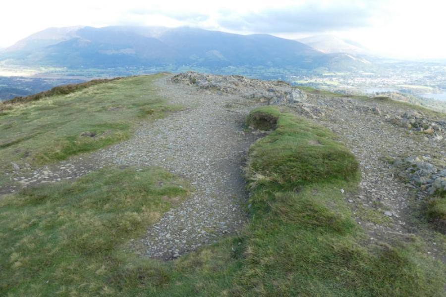
(9) The easiest way to reach Barrow is to retrace down Outerside to the main track and follow it, left and slightly downhill, forking left at a cairn, to reach Barrow Door, the col at the foot of Barrow. Alternatively, one could continue over Outerside but the descent is heathery and rocky in places. There is then a choice of joining the main path or continuing over Stile End then taking the path around its foot to Barrow Door. From Barrow Door, ascend by an obvious path to reach the highest point which is the summit of Barrow, 455 m. There is no cairn marking the summit.
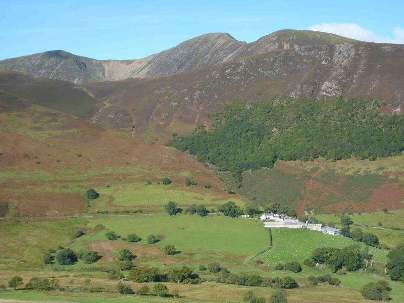
(10) Continue ahead on the obvious path down the NNE ridge of Barrow. Ignore all paths leading off the ridge and follow it all the way down to the farm at Little Braithwaite. Follow the farm track to the road then turn left to reach the junction with the Whinlatter road at the Royal Oak.
Notes
(a) This walk took place on 8th August, 2010. The inclusion of Outerside and Barrow was added on 5th October, 2024.
(b) To omit Outerside and Barrow, continue on the path off the E end of Causey Pike. This is steep and rocky and requires care, especially when wet. Reach a col known as Sleet Hause where an obvious path goes off left around the N side of Rowling End. The path leads down to Newlands Pass road at Stoneycroft stone bridge. Follow road back to Braithwaite or take path on left which starts about 200 m before the wood and goes through Braithwaite Lodge.
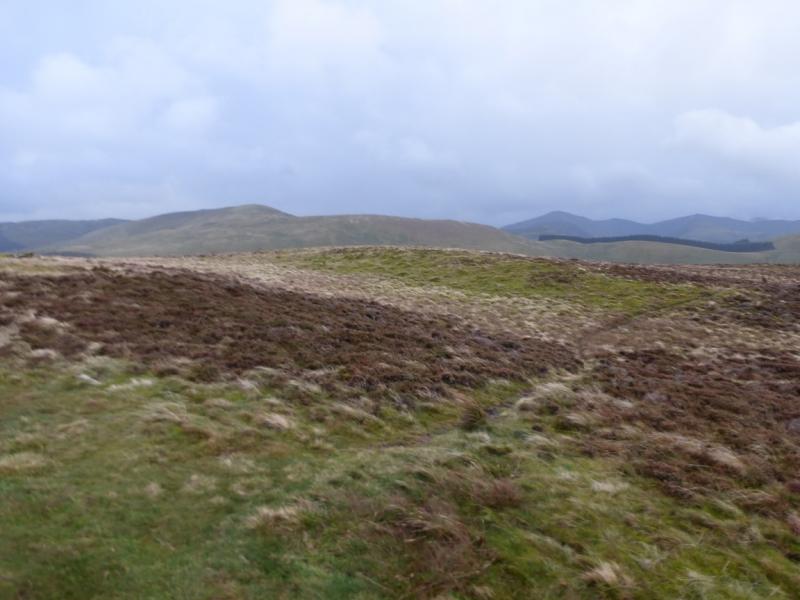
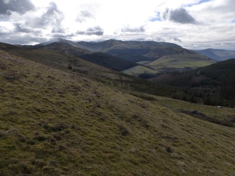
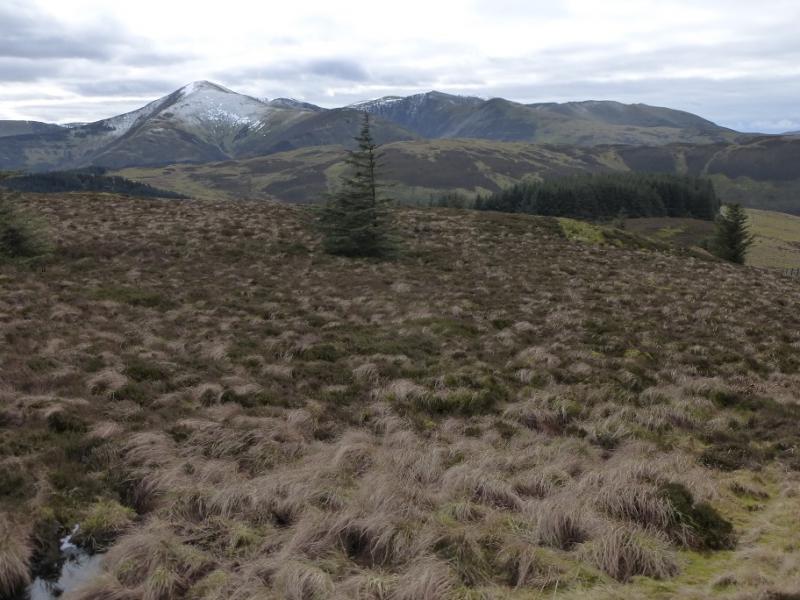
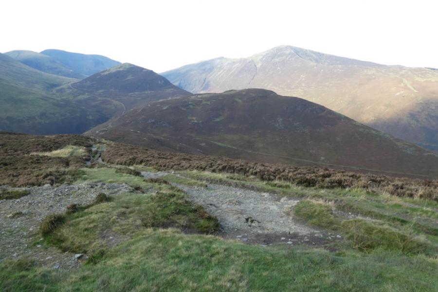
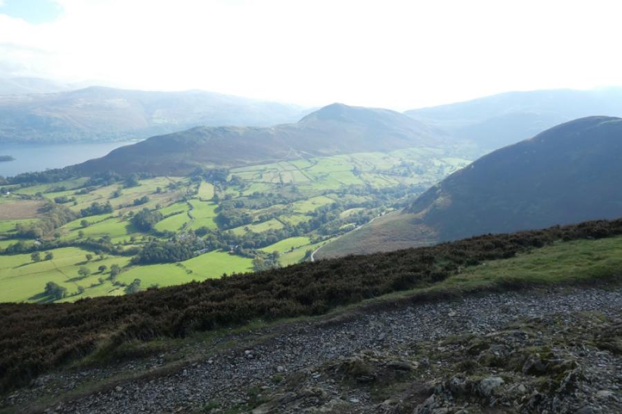
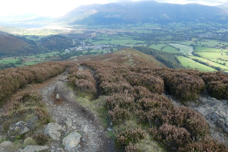
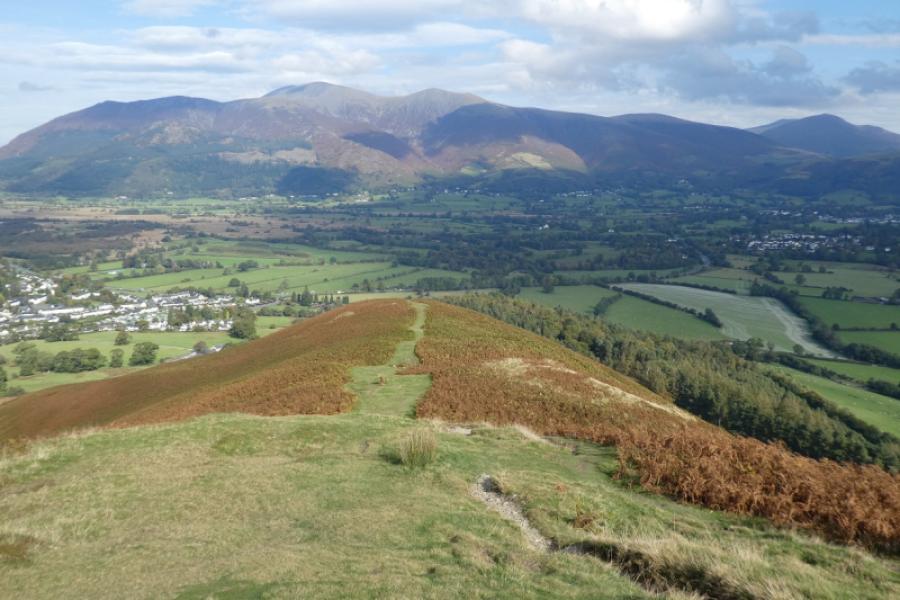
Photos - Hover over photo for caption. Click on to enlarge. Click on again to reduce.