Get Lost Mountaineering
You are here: England » Lake District » 5 Northern Fells
Blencathra via Sharp Edge
Blencathra via Sharp Edge & Scales Fell from Scales Farm
Start/Finish
Lay-by on A66 just before Scales Farm at about NY 340 267. There is a short layby just after (E) what is called Scales Green (it has a sign).
Distance/Time
8 km Approx 5 hours
Peaks
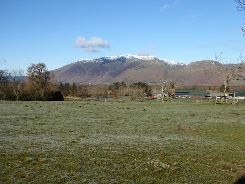
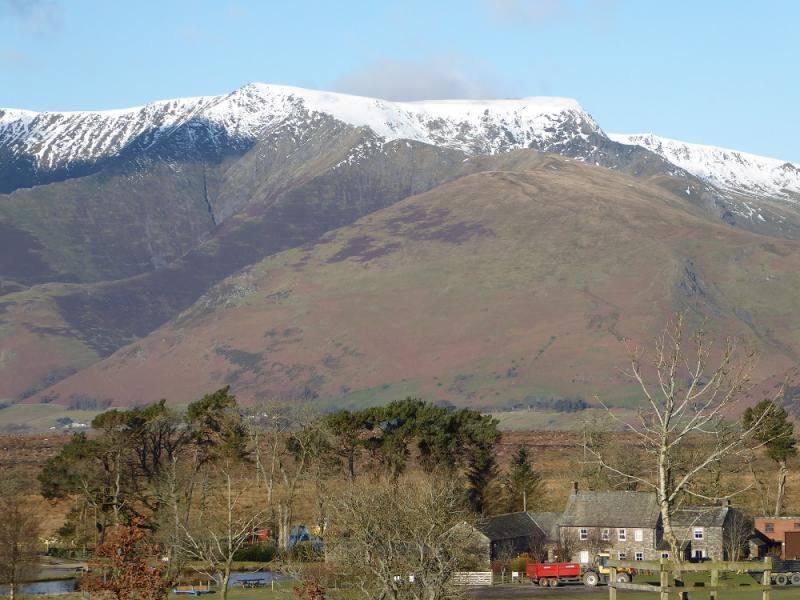
Blencathra, 868 m, NY 323 277. OL 5 The English Lakes North Eastern Area
Introduction
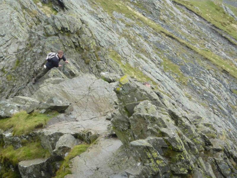
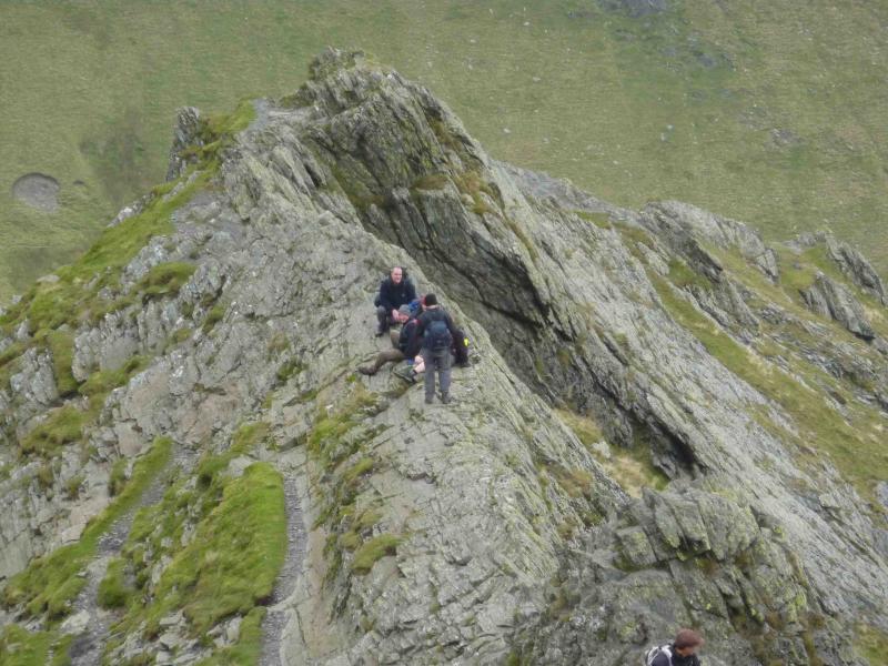
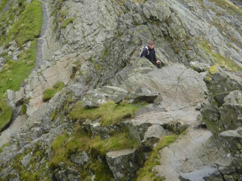
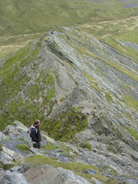
This walk includes the short sharp arête known as Sharp Edge followed by the steep and broken Foule Crag. On a clear dry day, these are very straightforward and are easy scrambles. On a wet day, the rock, much of it slabby, becomes very greasy and slippery, with considerable exposure so that any slip would probably result in broken bones or worse, and this route is only then suitable for those with considerable experience of rock in such conditions. There are avoiding paths to the right (N) of Sharp Edge but these are worse than the edge itself and more prone to accidents especially in the wet. Finding good footholds is the key to a safe and enjoyable traverse.
Route
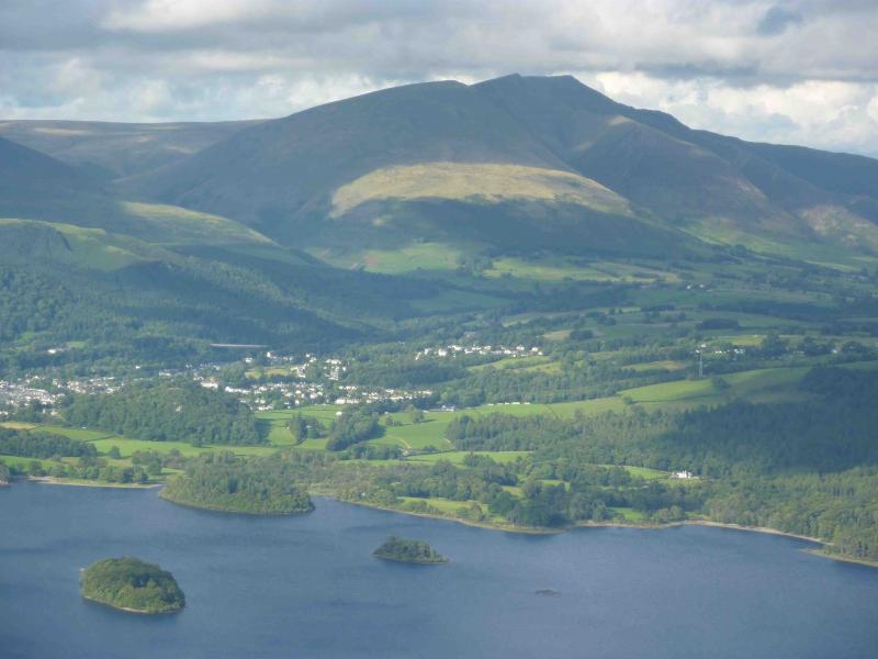
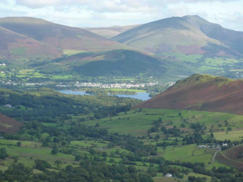
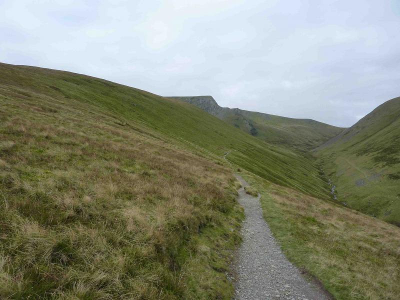
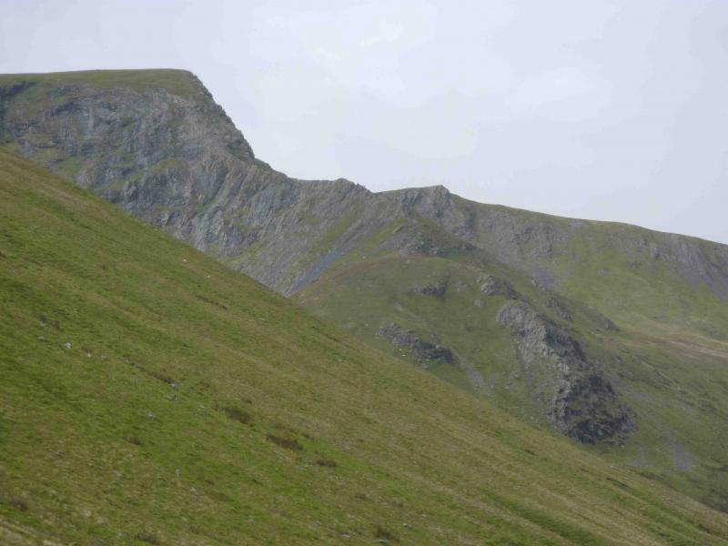
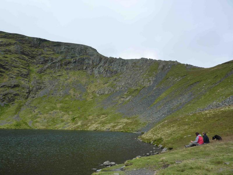
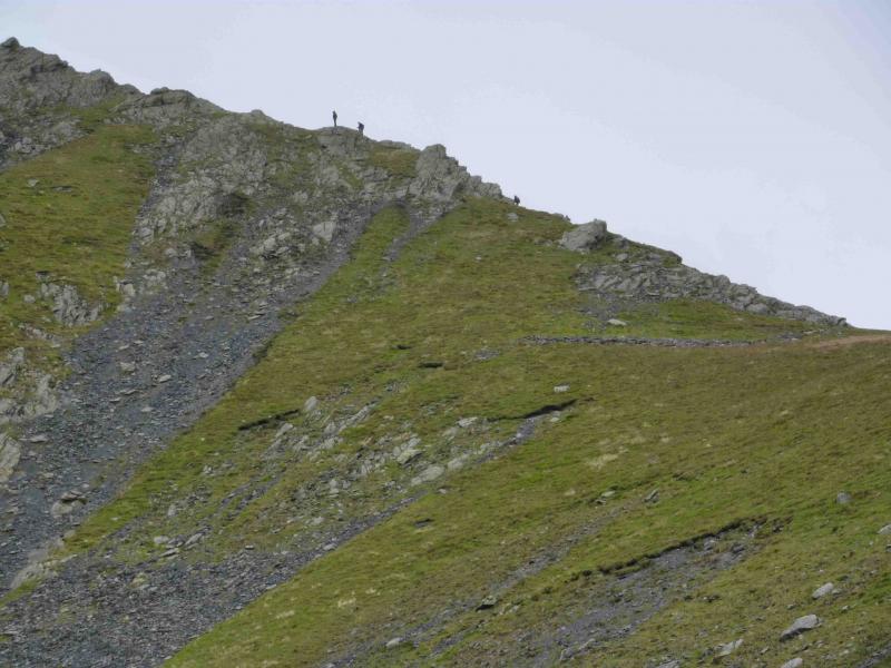
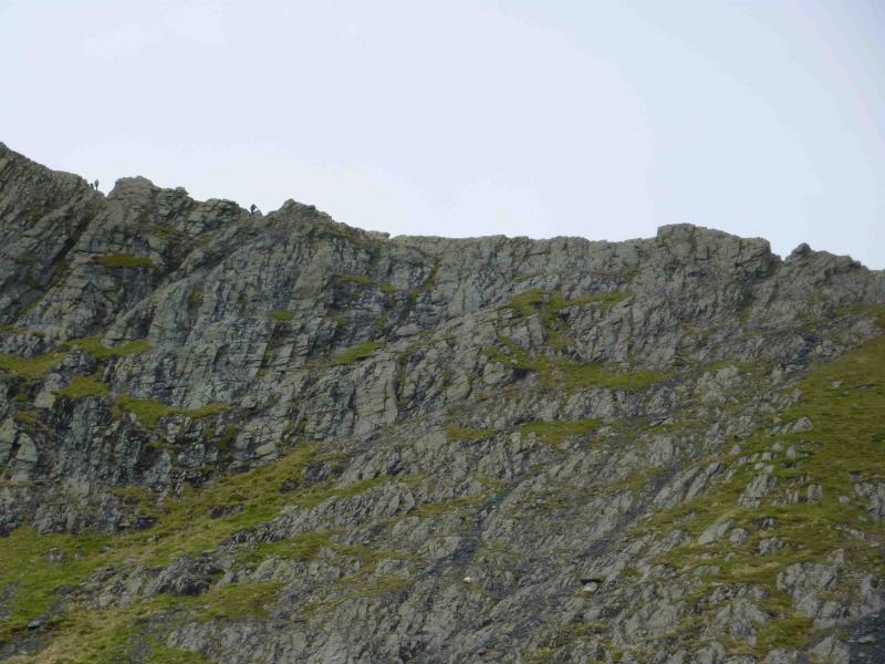
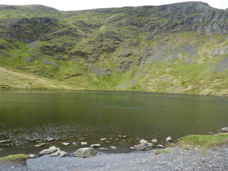
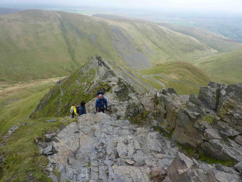
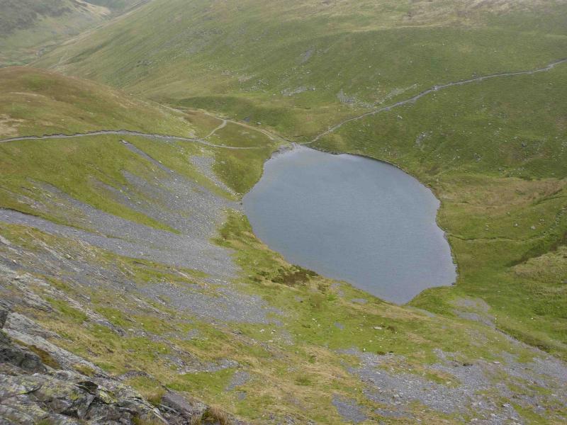
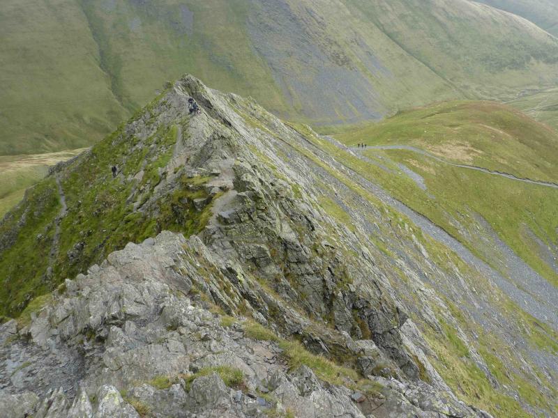
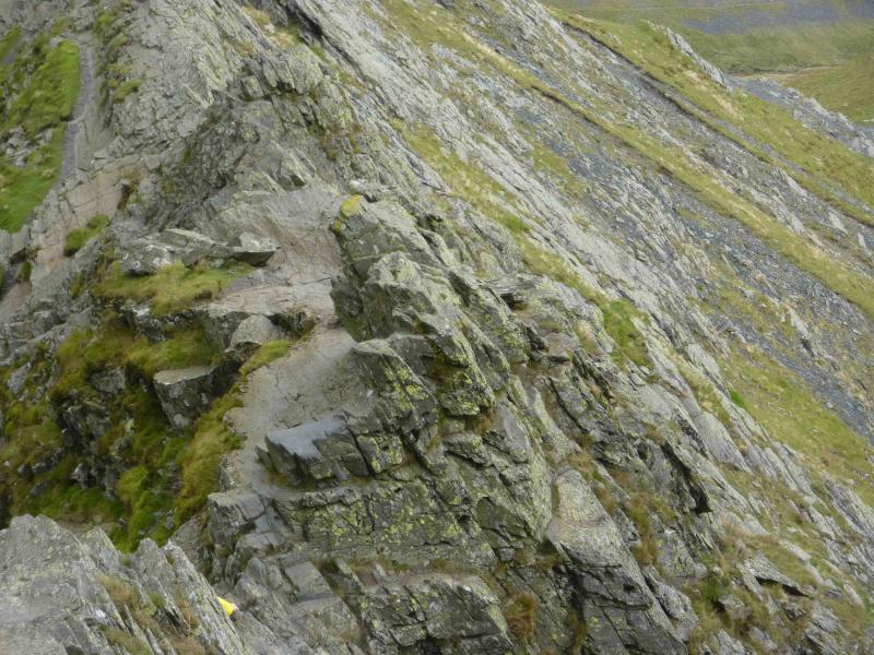
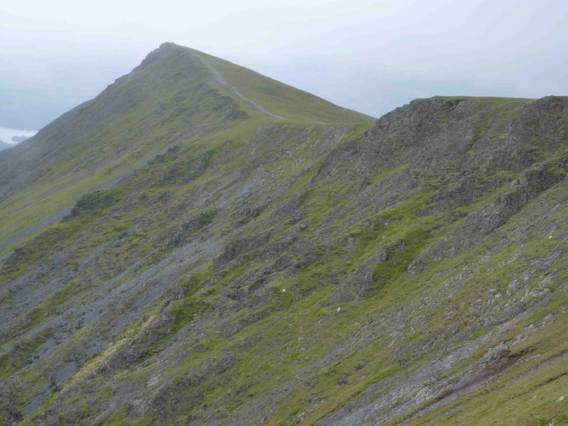
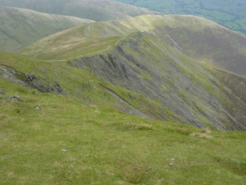
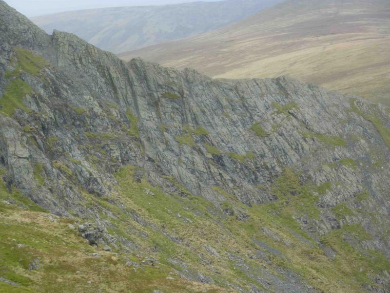
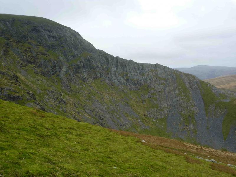
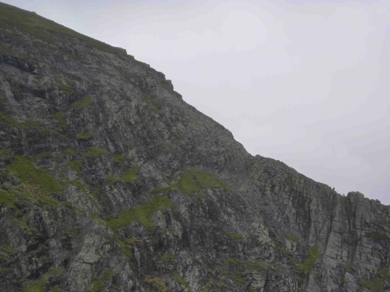
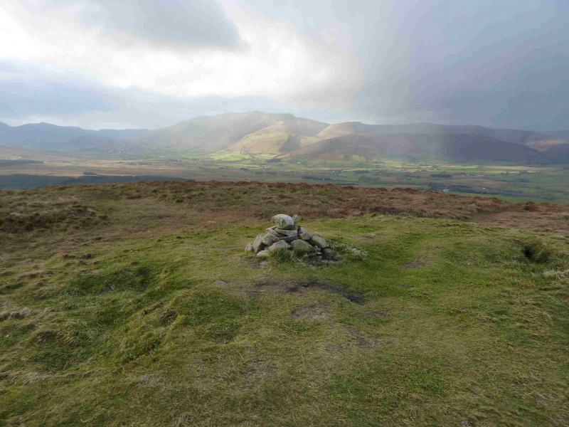
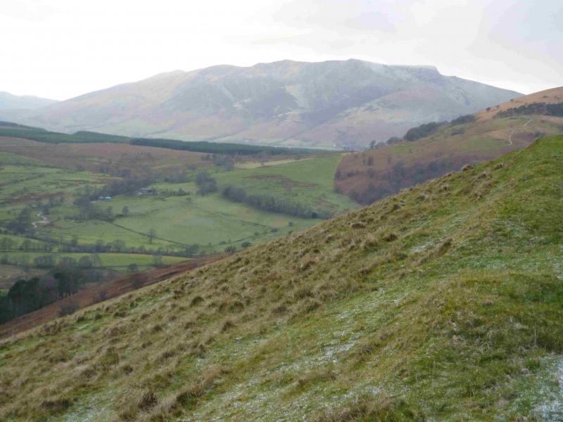
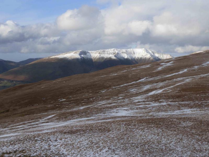
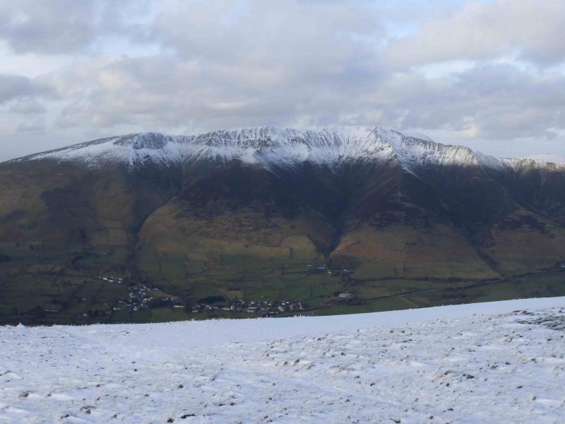
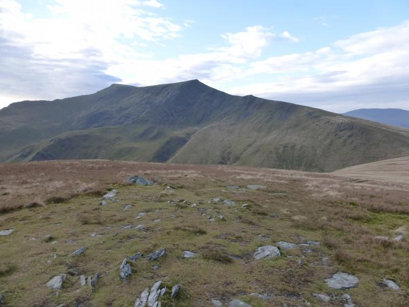
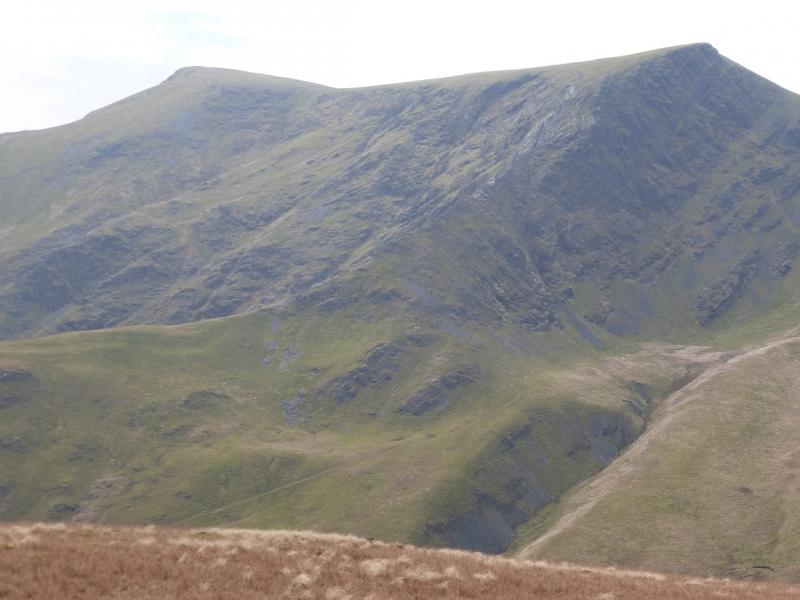
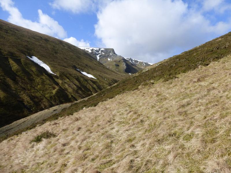
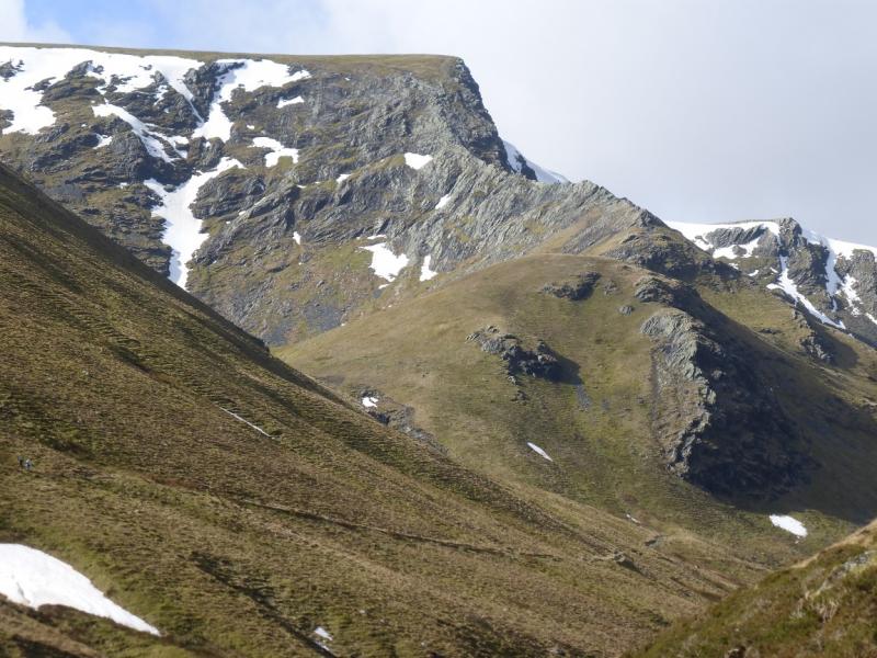
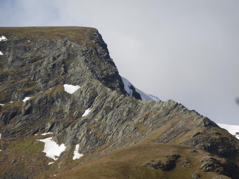
(1) From the lay-by, walk E for about 100 m to Scales Green where a public footpath sign points uphill. Follow this well defined path as it goes N for a short distance then heads E traversing the S flank of Scales Fell where it gradually trends N. Note a crossroads of paths which is crossed, the descent route comes from the left here. Ahead and to the right is a grassy ridge running SW – NE towards Souther Fell. This ridge looks like a huge earth dam from below but it isn’t. Continue up the distinctive path which soon starts to swing NW then crosses to the N side of Scales Beck. The path steepens for a while, alongside the beck, then levels out to reach Scales Tarn, a lovely place to sit and relax. Sharp Edge is high and to the right (NW) from here. From the tarn, follow the obvious path going off and up to the right (N) which soon curves around to reach the bottom of Sharp Edge. The first section is straightforward and can easily be scrambled over with an avoiding path just to the right. Higher up, the difficulties increase but on a clear dry day there should be little to trouble the experienced and competent scrambler. Some of the edge is composed of sloping and polished slabs which in the dry are easily crossed but in the wet can be lethal and there are few reassuring handholds when you want them. These slabs are quite exposed and a slip could result in a fall long enough to be very serious if not fatal. Do not be tempted further down to the right as this is likely to make things worse with steep slippery grass and loose gullies. Soon a small gap is reached then, quickly, another which signifies the end of Sharp Edge and the bottom of Foule Crag. Some people find the short descents into these gaps quite intimidating but there are plenty of foot and hand holds. In dry weather, Foule Crag can almost be walked up but, when wet, great care must be exercised as a slip could have very serious consequences. Lower down there are bits and pieces of a path but the usual route for the “timid” goes up an obvious narrow rocky gully. Near its top, paths become more common but there is still a little scrambling to do. Soon all difficulties end and an obvious wide level path goes off left. This leads easily, with a little gentle ascending, to the summit of Blencathra, 868 m, where there is a cairn and a small stone circle marked Ordnance Survey which is only about 5 cm high so it can be easily missed. On a clear day, the summit is obvious. En route from the top of Foule Crag, an obvious reverse fork path is passed on the left. Note this for the descent.
(2) Retrace to the fork and go right.. The very obvious path zig zags down initially before descending, mainly on the crest, of Scales Fell. Even in mist,t his path is very easy to locate and follow. The path goes down a fair way before trending left to eventually join the uphill path at a crossroads of paths. Turn right and follow the path back to the start.
Notes
(a) This walk took place on 9th August, 2010 and 26th September, 2010.
(b) On a clear day, it is worth while to descend either Hall’s Fell (SE from the summit) or Doddick Fell (branch off SSE from Scales Fell path after about 500 m).
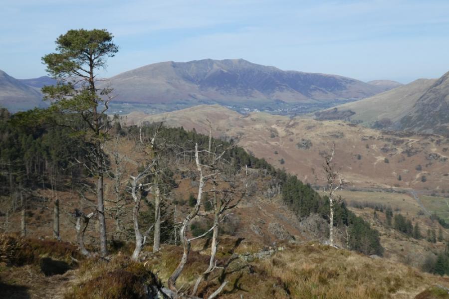
Photos - Hover over photo for caption. Click on to enlarge. Click on again to reduce.