Get Lost Mountaineering
You are here: England » Lake District » 7 Western Fells
Fleetwith Pike, Haystacks, High Crag, High Stile & Red Pike
Fleetwith Pike, Haystacks, High Crag, High Stile & Red Pike
from Birkness
Start/Finish
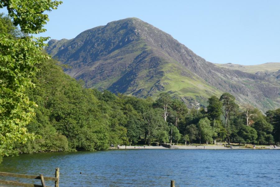
Birkness although Gatesgarth car park or Buttermere village could also be used.
Distance/Tim
14 km Approx 8 hours
Peaks
Fleetwith Pike, 648 m, NY 206 142
Haystacks, 597 m, NY 193 131
High Crag, 744 m, NY 180 140
High Stile, 807 m, NY 170 148
Red Pike, 755 m, NY 161 154 OL 4 The English Lakes North Western Area
Introduction
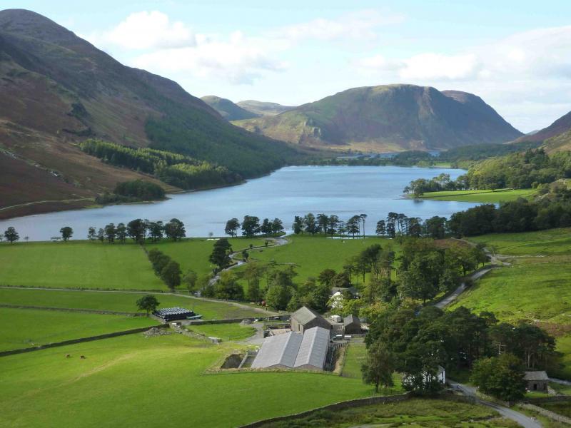
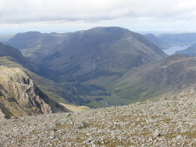
This is a very pleasant walk around the fells on the SE and SW sides of Buttermere. It is worth saving for a clear day as there are excellent views in all directions including the Scafells, Skiddaw and Blencathra. Despite the five summits, there are only two big ascents: up Fleetwith Pike then from Scarth Gap to High Crag. The walk can be started anywhere between Buttermere village and Gatesgarth car park.
Route
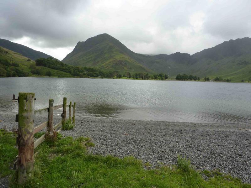
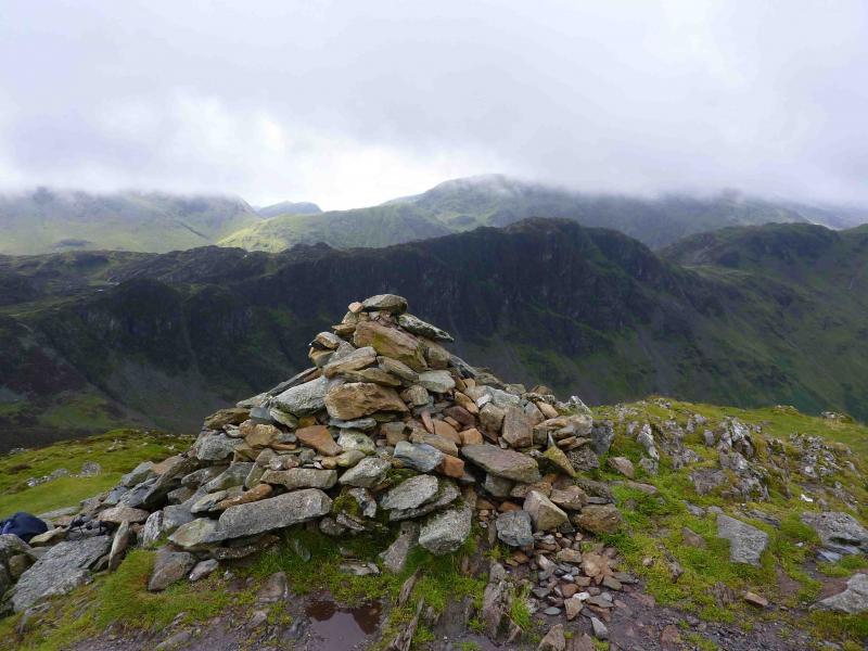
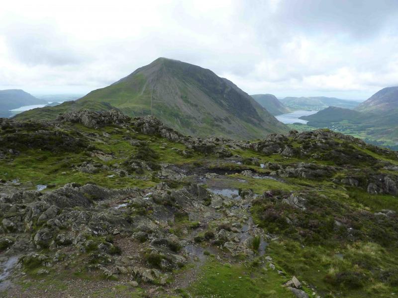
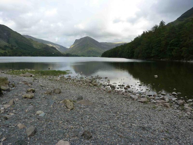
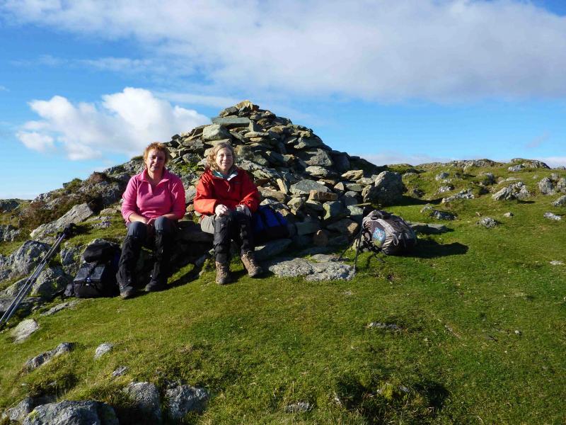
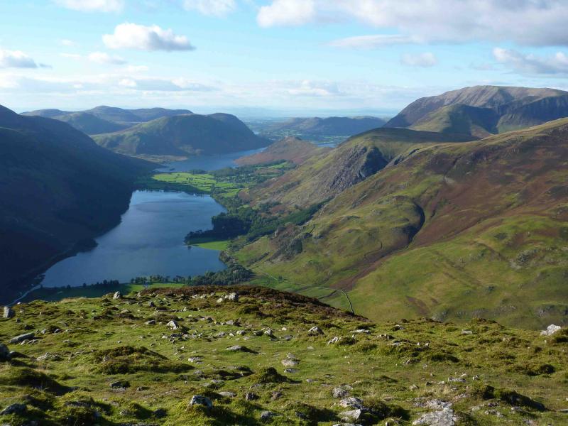
(1) Walk along the shore of Buttermere towards the head of the lake joining the road (to Honister Pass) for the last section. Pass Gatesgarth Farm and its car park to reach a path aiming for the obvious nose of Fleetwith Pike. The path is grassy and faint to start with but soon improves and passes to the left of the obvious white cross on the lower slopes. Beyond the cross the path gains the crest and the good path can be followed all the way, with a little very easy scrambling, to the large summit cairn of Fleetwith Pike, 648 m.
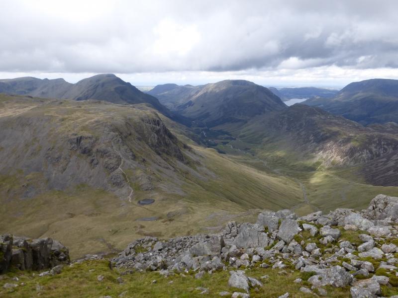
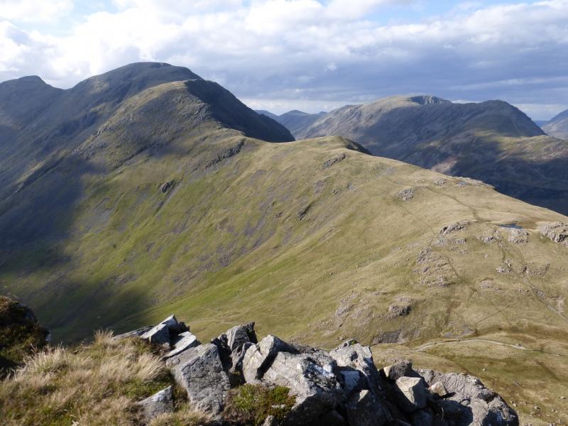
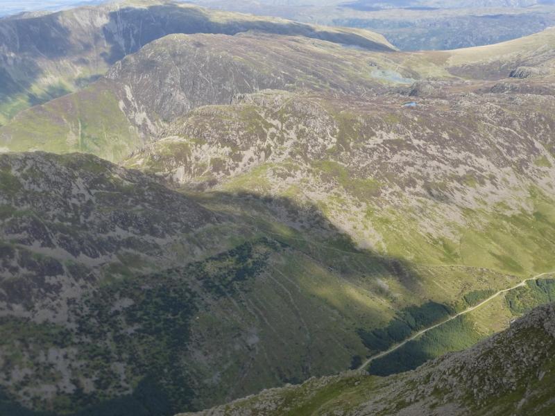
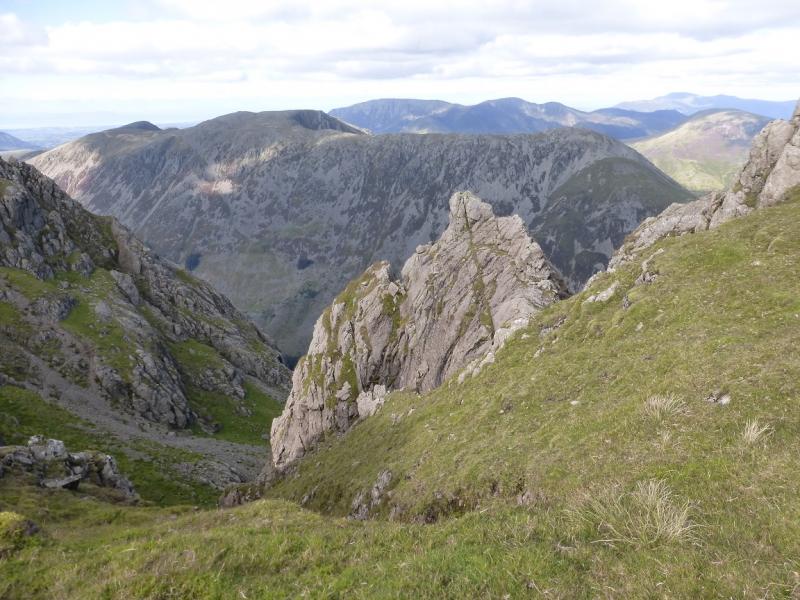
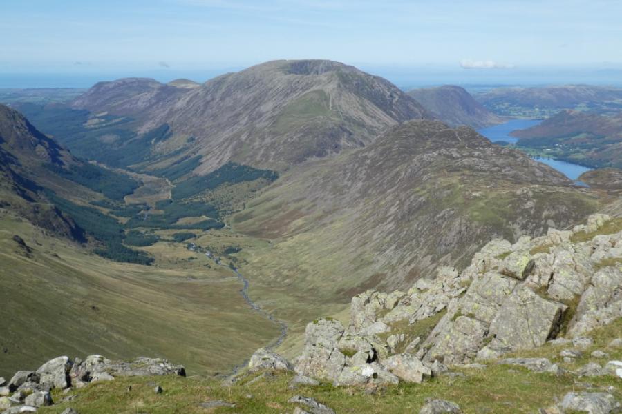
(2) Either descend roughly SE on a faint path to reach the old quarry workings or follow the crest ENE to the col where an old quarry track can be followed down to the workings. Cross Wanscale Beck and start ascending SW on a good path which goes past the end of Blackbeck Tarn before heading WNW to Innominate Tarn – an ideal place for a lunch stop with good views of Great Gable then ascending to the main summit of Haystacks, 597 m, which has a small cairn. There are other similarly cairned tops of roughly the same height close by. On the way to Haystacks main summit, there are opportunities to climb other tops.
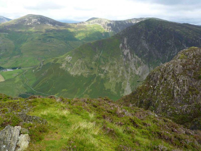
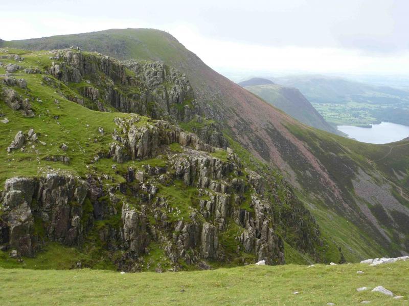
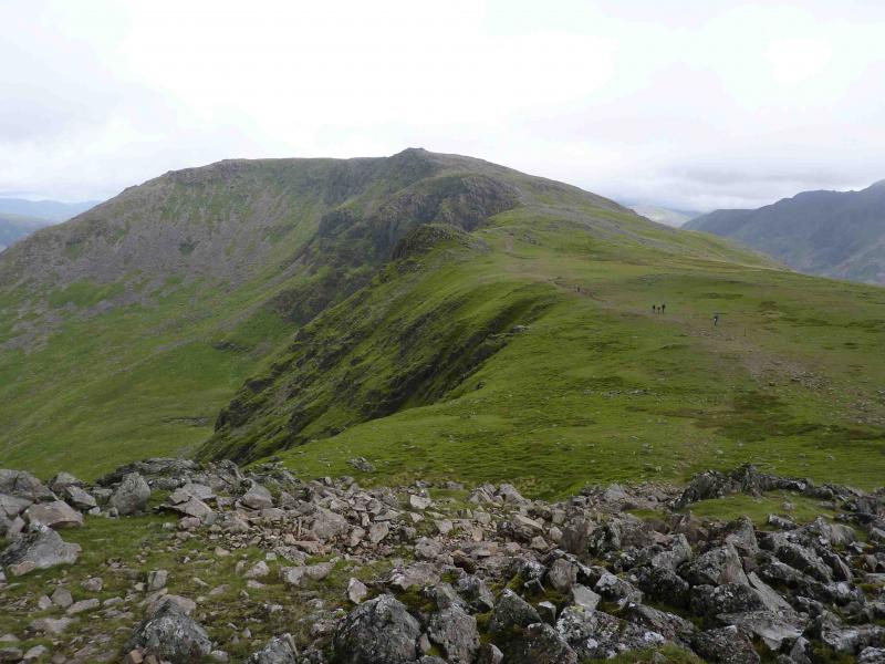
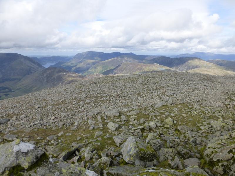
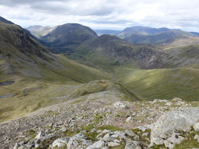
(3) Descend WNW on a reasonable path which is rocky and has some very easy scrambling to reach Scarth Gap. Ascend generally W then NW on a good path to reach the shoulder known as Seat. From here there is an excellent zig-zag path up the steep grassy slope ahead before finishing on scree to reach the large summit cairn of High Crag, 744 m.
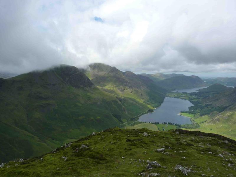
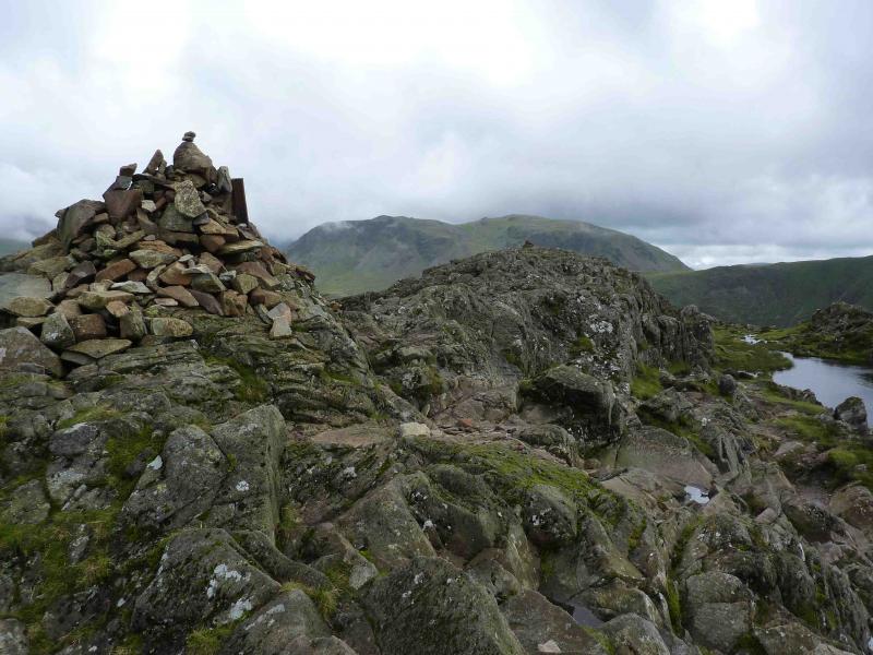
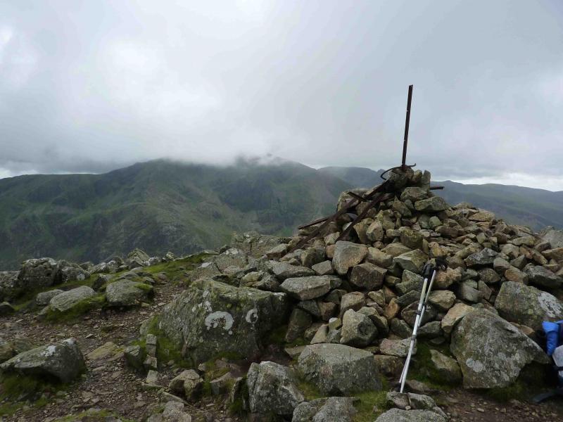
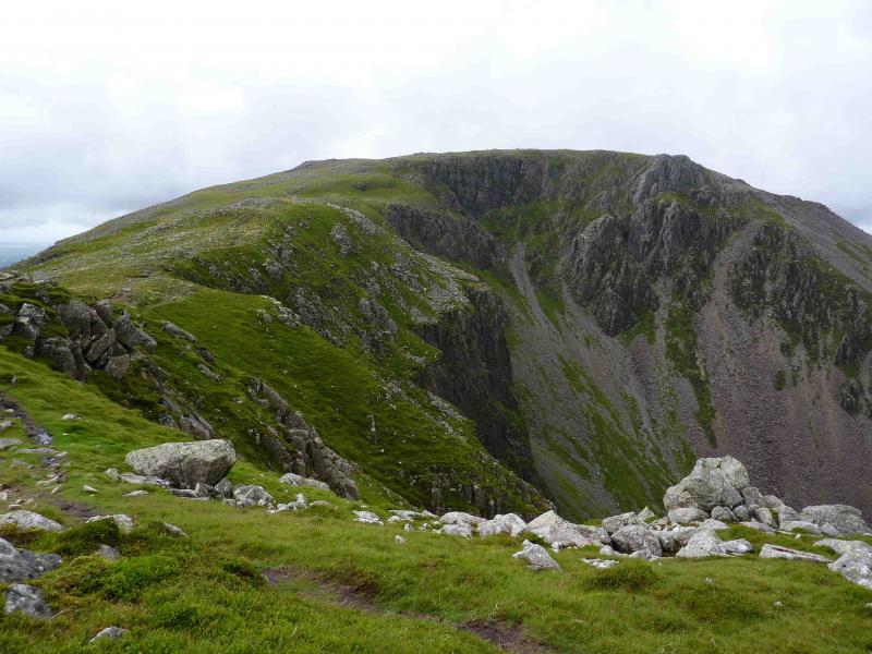
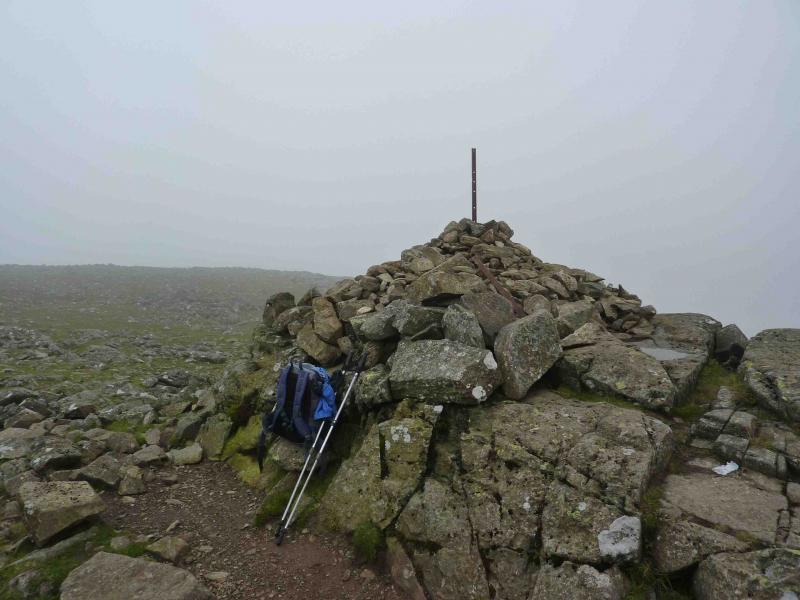
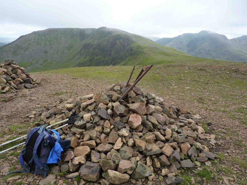
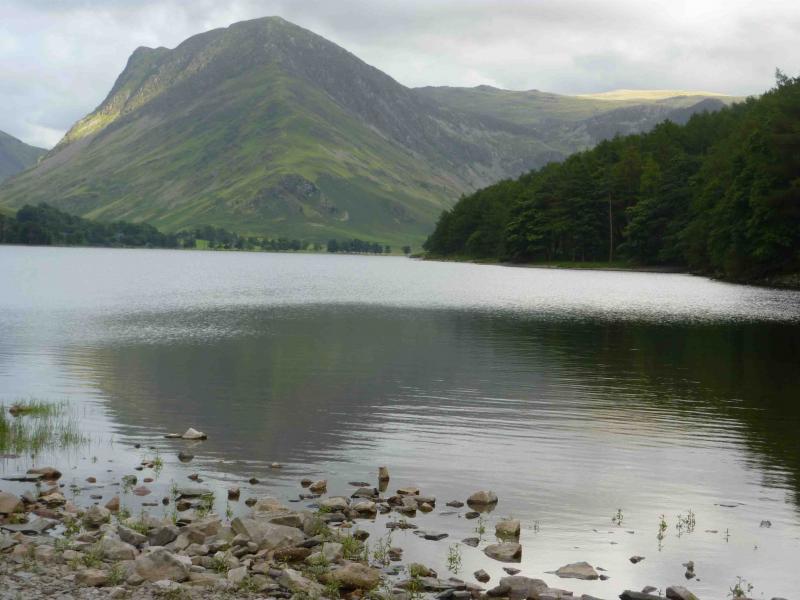
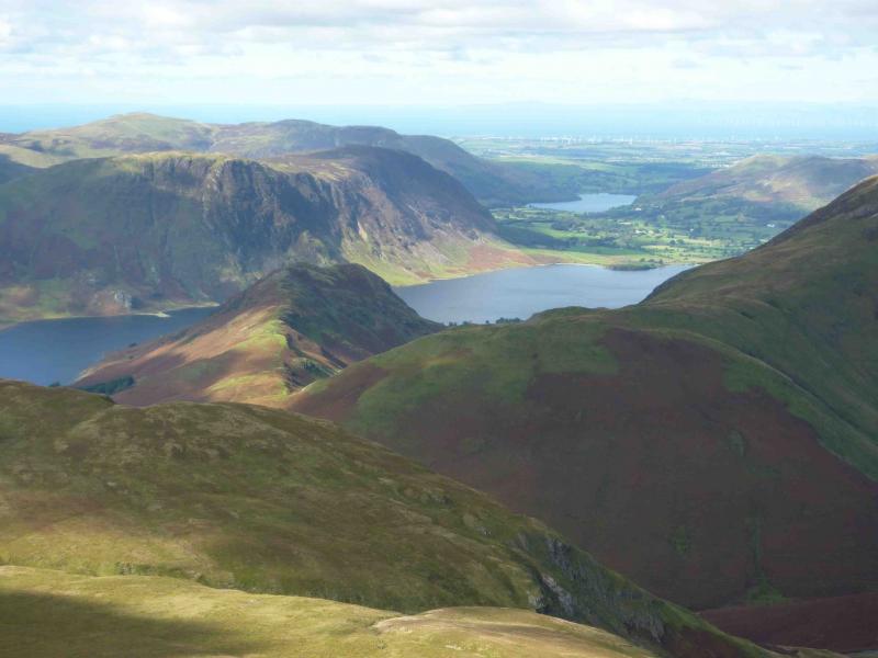
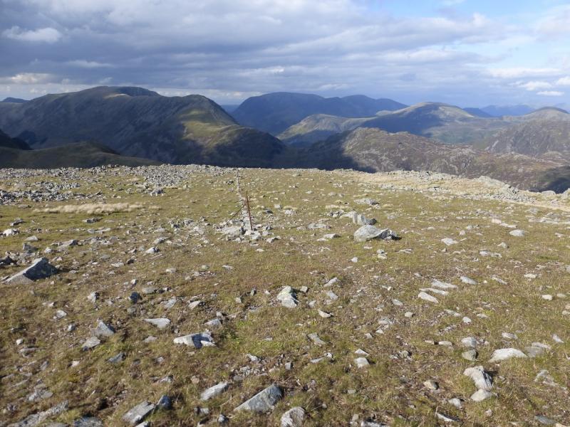
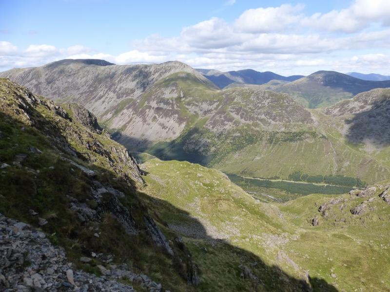
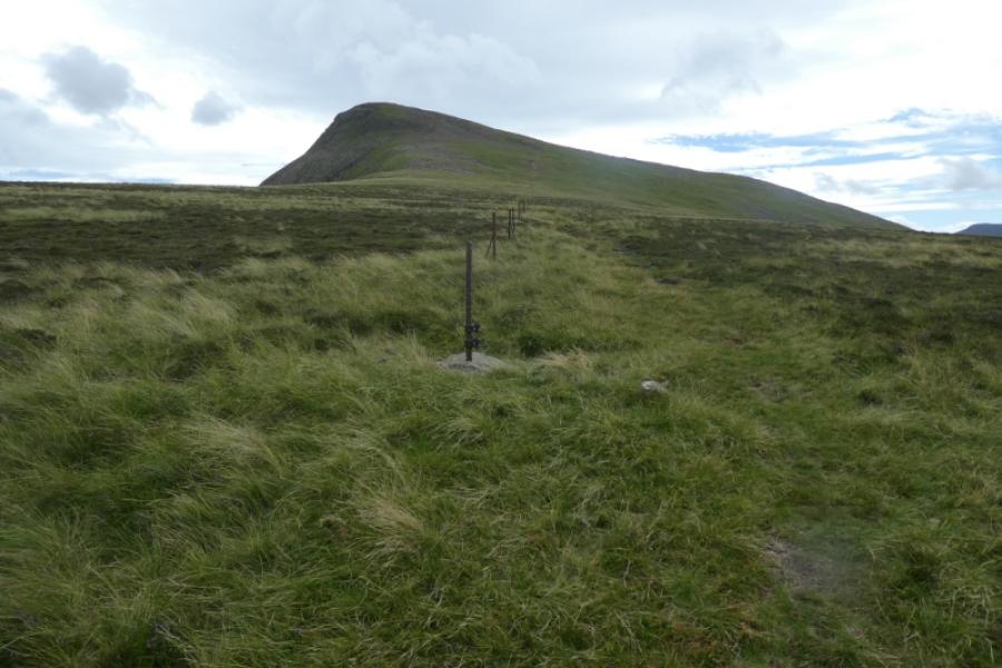
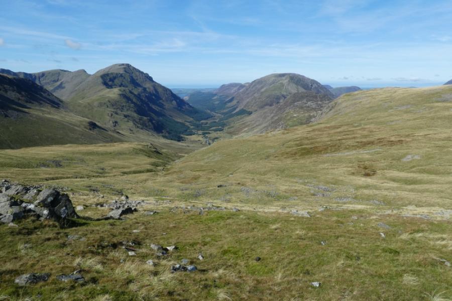
(4) From here it is essentially an undulating ridge walk all the way to Red Pike so continue generally WNW to reach the large cairn which is the summit of High Stile, 807 m. The summit area is generally a large plateau with many sizeable cairns. In thick mist, almost all of these could be mistaken for the real summit. A broken line of old fence posts can help locate the real summit. From here keep looking down and slightly right. In good weather, there is a lovely view of Red Pike and Bleaberry Tarn.
(5) Continue generally WNW then N to reach the large cairn which is the summit of Red Pike, 755 m.
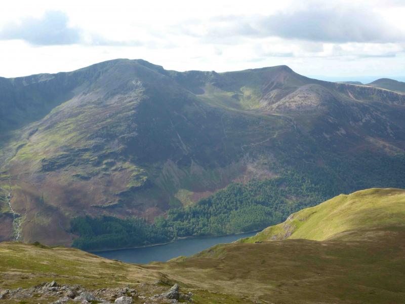
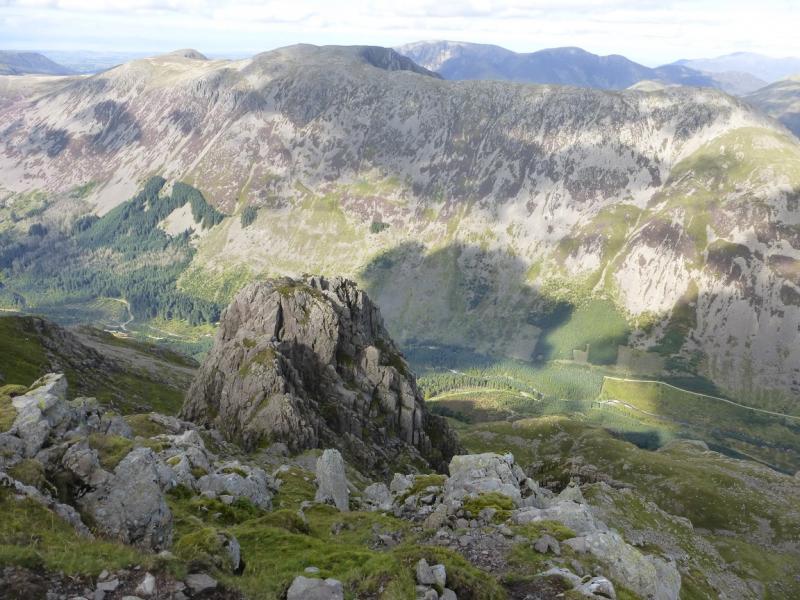
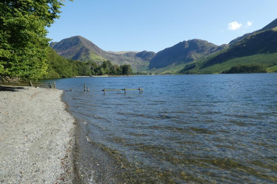
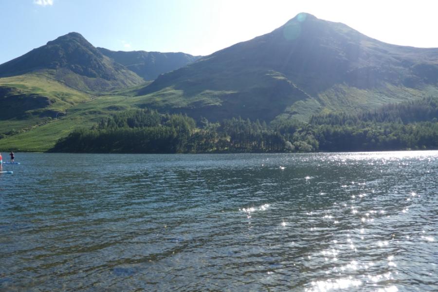
(6) Descend NE (a cairn points the way from the summit) down a loose scree path, steep in places, before a stepped path appears. At the saddle, before Dodd, turn right, ESE, and descend to Bleaberry Tarn, another delightful place to stop. Follow the path at its outflow, NNE then NE then N on an obvious path, stepped in places but hard on the feet and knees, to the edge of a wood. Continue, roughly N, through the wood to reach the NW corner of Buttermere. Cross the foot bridge and follow the path along the W then N shore to reach the start.
Notes
(a) This walk took place on 5th August, 2010.
(b) If starting at Gatesgarth, the walk back around Buttermere can be taken on its S side.
Photos - Hover over photo for caption. Click on to enlarge. Click on again to reduce.