Get Lost Mountaineering
You are here: Scotland » 01 South of Oban to Stirling and Fife » Loch Earn to Loch Tay
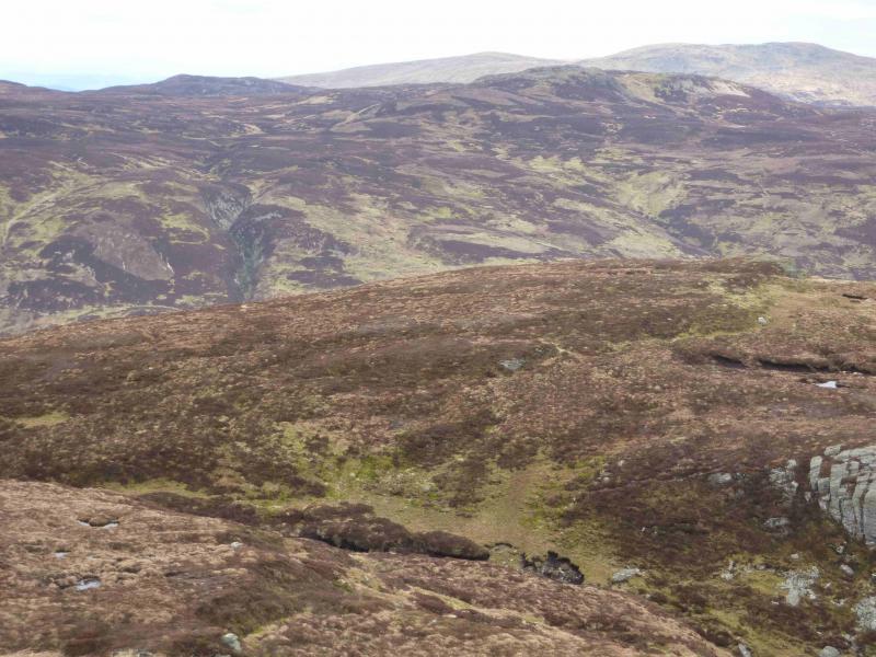
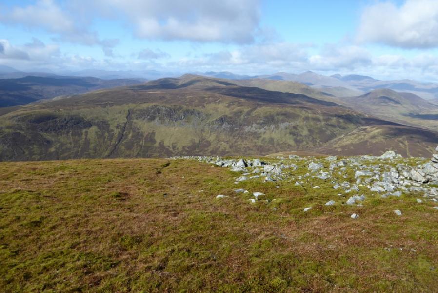
Creag Uchdag from south
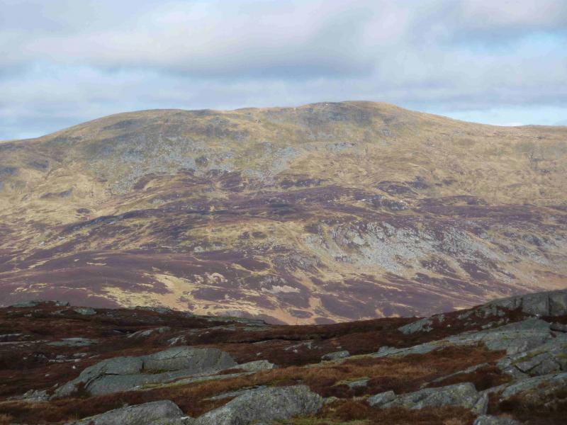
Creag Uchdag from Glen Lednock Dam
Start/Finish
Glen Lednock Dam, NN 729 289, up the minor road from Comrie on A85.
Distance/Time
12 km Approx 4 hours
Peaks
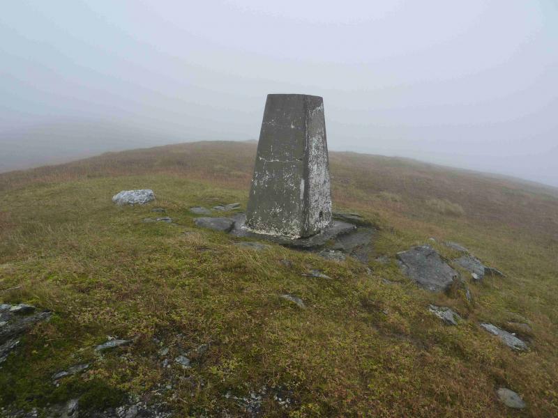
Creag Uchdag, 879 m, NN 708 323. OS sheet 51.
Introduction
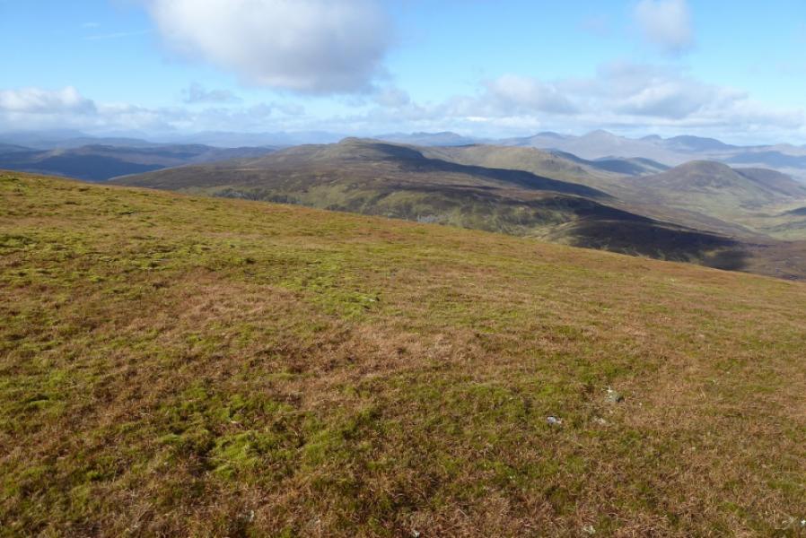
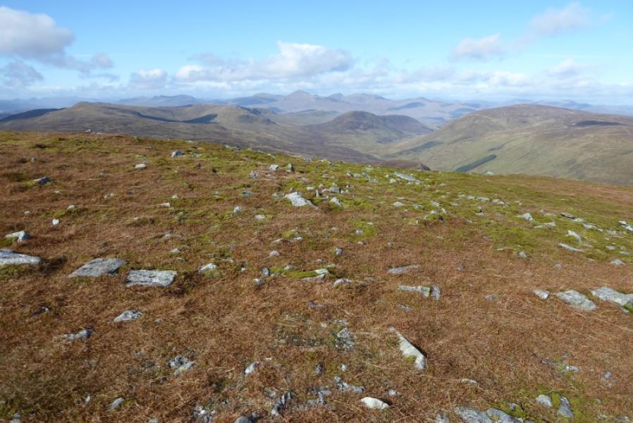
This is an excellent view point for the Ben Lawers range to the north across Loch Tay.
Route
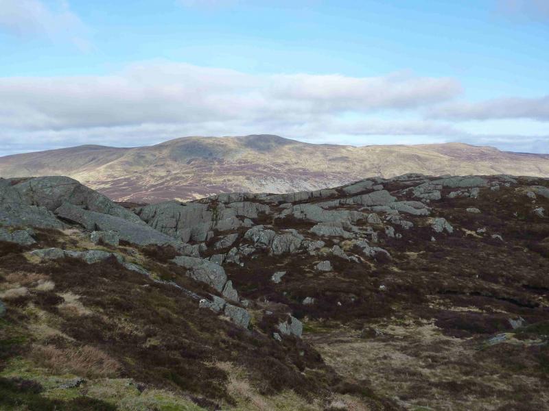
(1) Park at the end of the public road just before the dam. Walk along the N side of the loch, initially on a track then on a grassy path for about 2½ km to reach a circular sheep fold. From here ascend roughly NE, following a burn to the E of the obvious crags at around NN 702 312. Continue to the SE ridge of Creag Uchdag then turn NW along the ridge, with generally good going, to the trig point on the summit of Creag Uchdag, 879 m.
(2) Return by the same route or descend SE for further along some ill defined ridges to descend the W side of the plantation close to the dam.
Notes
(a) This walk took place on 3rd November, 2009.
(b) Creag Uchdag can also be ascended from the north from Ardeonaig on the minor road along the S side of Loch Tay by following the path SSE towards Loch Lednock which is left at the bealach to ascend roughly E to the summit. Allow an extra hour for this route.
Photos - Hover over photo for caption. Click on to enlarge. Click on again to reduce.