Get Lost Mountaineering
You are here: Wales » North Wales » Porthmadog to Betws-y-Coed
Cnicht & Moelwynnion
Cnicht & Moelwynnion from Croesor
Start/Finish
Car park in Croesor village. From Porthmadog, take A487 Dolgellau road past Minffordd, turning off on to A4085 Beddgelert road at Penrhyndeudraeth. Just past Garreg, fork right for narrow road to Croesor. There is space for about 25 cars.
Distance/Time
15 km Approx 7 hours
Peaks
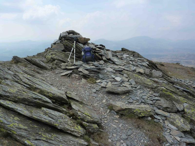
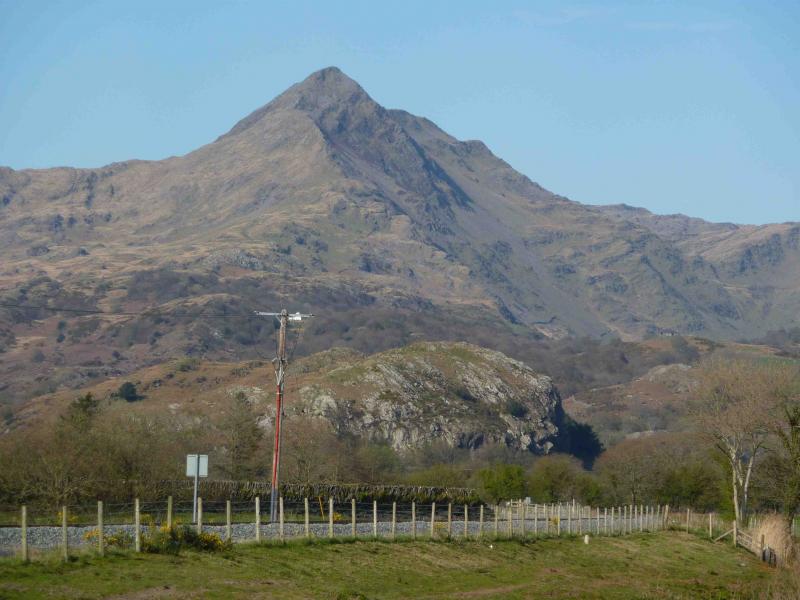
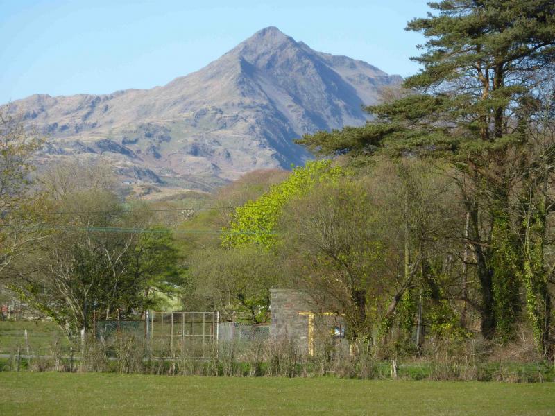
Cnicht, 689 m, SH 645 467.
Moelwyn Mawr, 720 m, SH 658 448.
Moelwyn Bach, 710 m, SH 660 437.
OL 17 Yr Wyddfa & Conwy Valley OL 18 Harlech, Porthmadog & Bala
Introduction
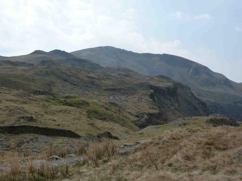
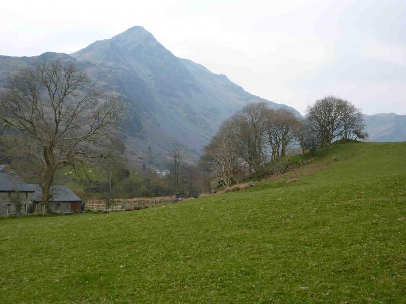
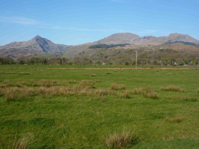
Cnicht is the pointed peak which dominates the early part of the drive from Porthmadog to Beddgelert. The section between Cnicht and Moelwyn Mawr goes through some interesting old mine ruins.
Route
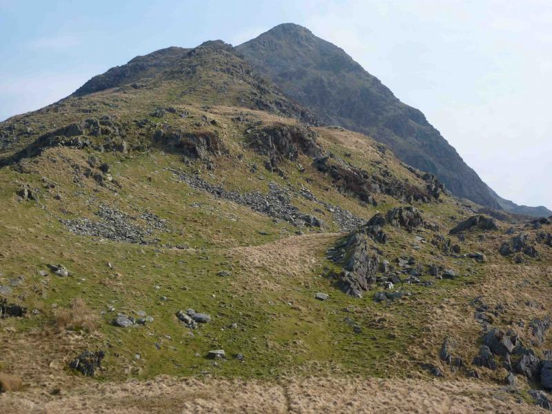
(1) Come out of the car park on to the road and turn right uphill past a chapel on the right. After about 1.5 km, the track forks. 50 m ahead is a stile over a wall. Ignore the ahead option and fork right on a track through a gate. The track soon becomes a good path. At a square walled enclosure (which could be an old ruin) the path goes right – way marked – then slightly left over a stile. The path now essentially follows the crest of a ridge to reach a flat grassy shoulder below Cnicht. There is a choice of scrambles, either on the crest or just to its right, or there is a path further right, all of which lead to the rocky summit of Cnicht, 689 m, where there is no cairn.
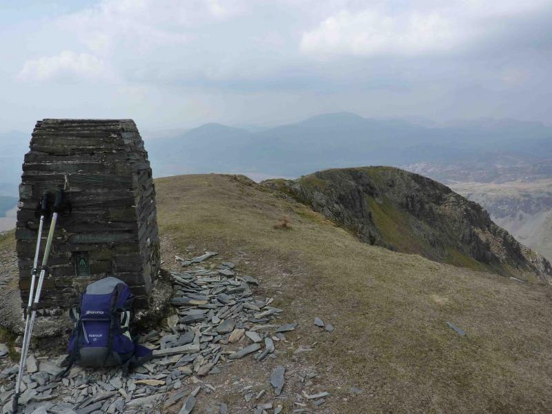
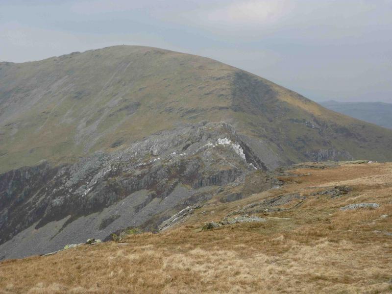
(2) Continue along the summit ridge where there are two lower tops, the second of which is cairned. Descend on a grassy path which is easy to follow and gradually drifts right heading for the head of Cwm Croesor. At an obvious cairn, take the right fork. The path now undulates and is faint in places but continues past Llynau Diffwys which is easily recognised by its single island. Pass the next small lake then go left, SE, and down to the old quarry road. Turn left towards the ruins, pass a large spoil heap and ascend a stony incline on its left. At the top, aim for the stile ahead and follow the obvious path S which climbs up on to the E ridge which leads to the summit trig point of Moelwyn Mawr, 720 m.
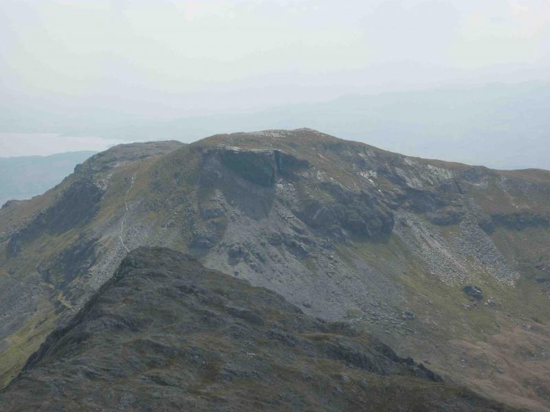
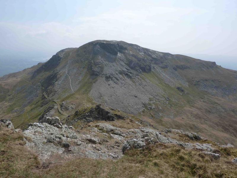
(3) Retrace about 100 m then take obvious path S over the two rocky tops of Craigysgain to descend to Bwlch Stwlan. Climb the obvious path which trends to the left of the crest then goes behind before eventually reaching the summit cairn of Moelwyn Bach, 710 m.
(4) Descend the W ridge, aiming for the right hand corner of the obvious conifer plantation ahead. On the last obvious shoulder, the path turns right then left down a shallow grassy gully. The path now seems to be heading for the left of the plantation so cross grassy moorland to reach the gate at the right hand corner. Go through the gate and along an improving path on the edge of the wood to emerge on a minor road. Turn right and descend to start.
Notes
(a) This walk took place on 18th April, 2010.
Photos - Hover over photo for caption. Click on to enlarge. Click on again to reduce.
.JPG)