Get Lost Mountaineering
You are here: Wales » North Wales » Glyderau
Elidir Fawr (only) from Nant Peris
Elidir Fawr (only) from Nant Peris
Start/Finish
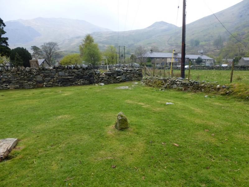
Large car park in Nant Peris on A4086 about 4 km SW of Llanberis. Coming from Llanberis, car park is on the right, almost past the village.
Distance/Time
10 km Approx 6 hours
Peaks
Elidir Fawr, 924 m, SH 612 613. OL 17 Yr Wyddfa & Conwy Valley
Introduction
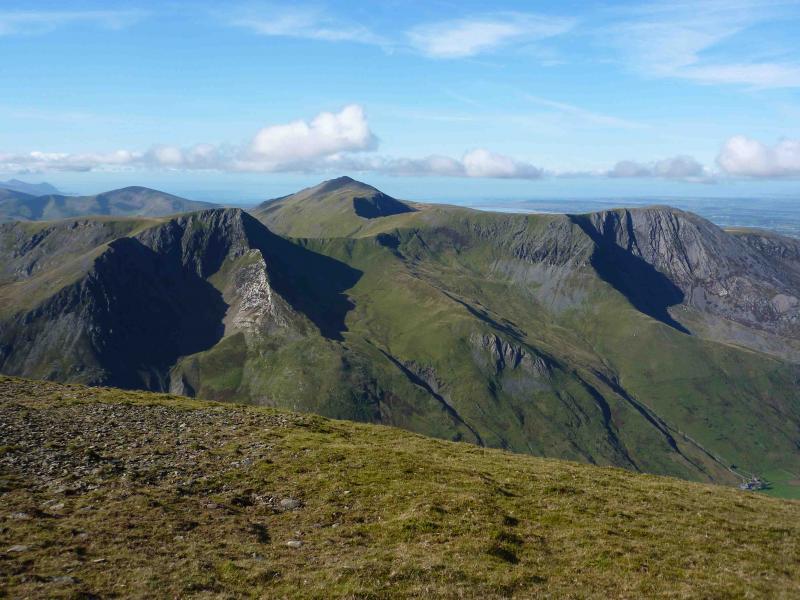
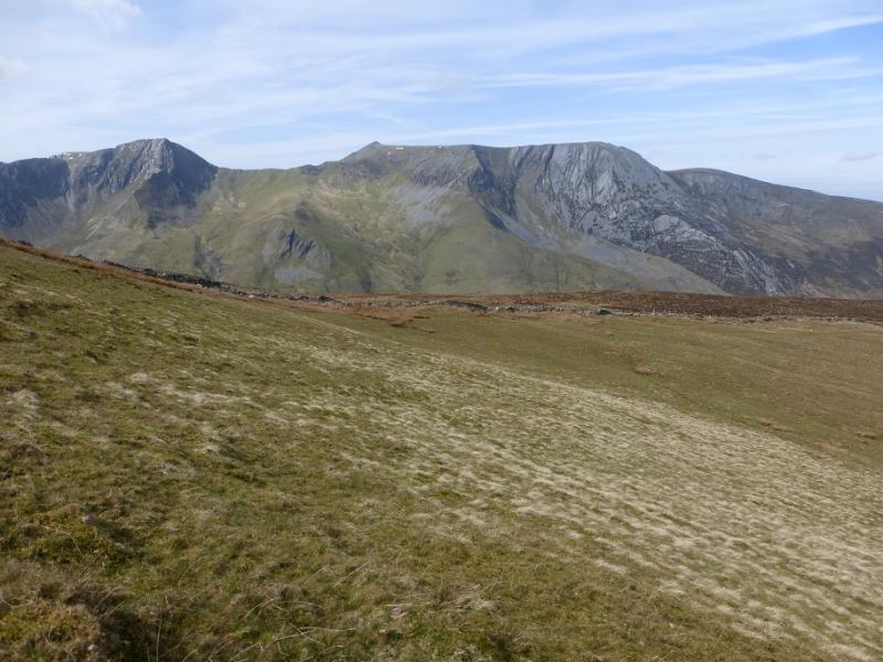
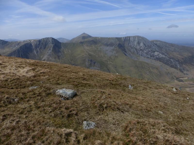
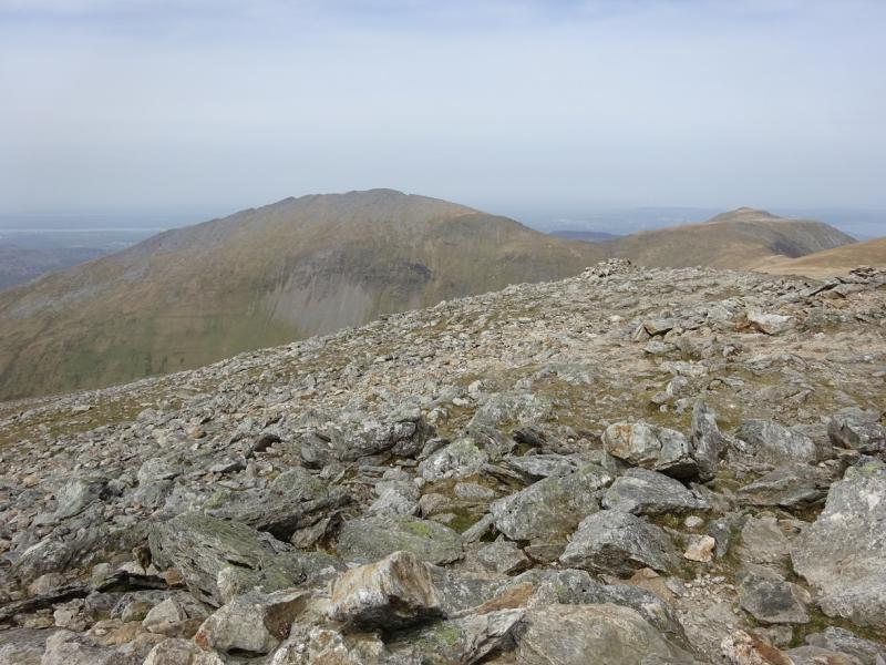
Elidir Fawr is difficult to incorporate into a circular walk which takes in all the other Glyderau but is possible if one starts at Ogwen Cottage. This route, however, ascends Elidir Fawr only using decent tracks and paths which avoid most of the boulder fields on this mountain. The summit offers views of Snowdon from the north whilst the Carneddau lie to the east across the Ogwen Valley. Interesting views of Tryfan from the west can also be enjoyed.
Route
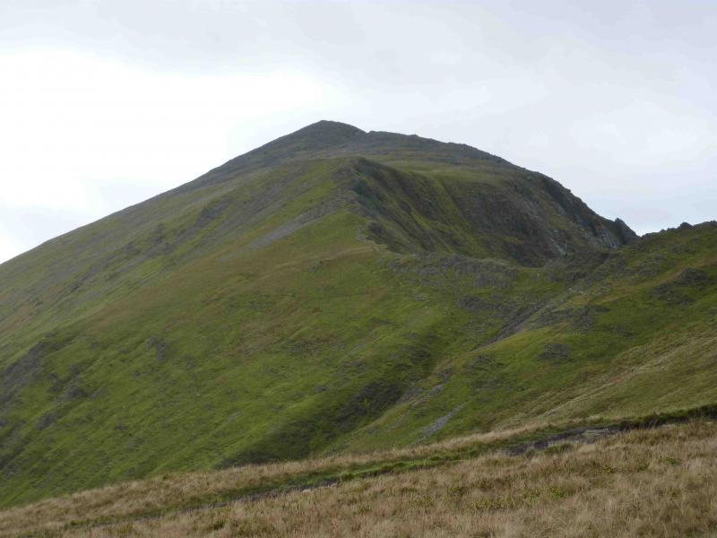
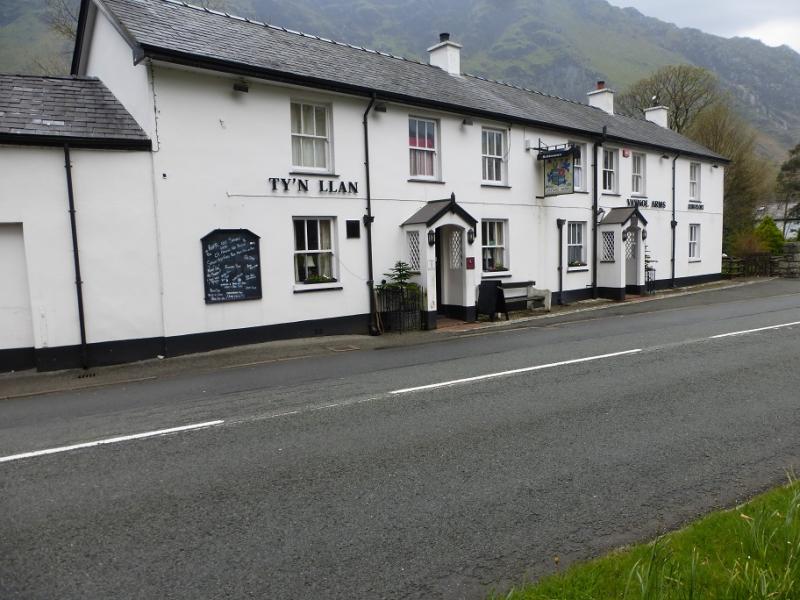
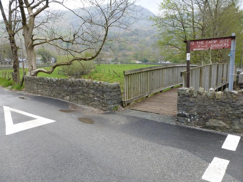
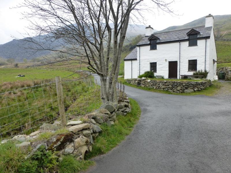
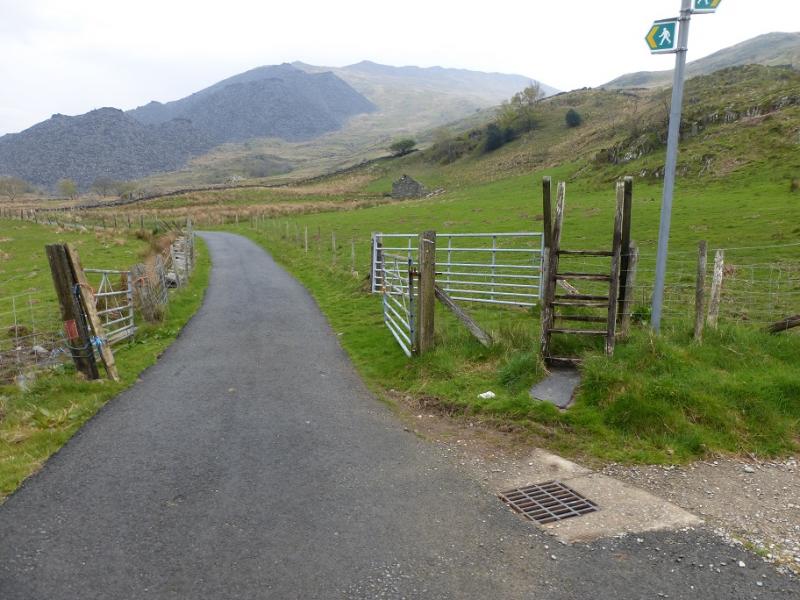
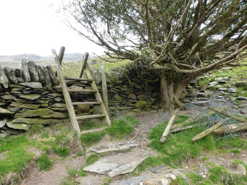
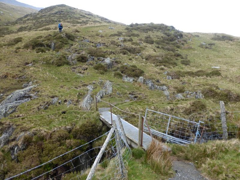
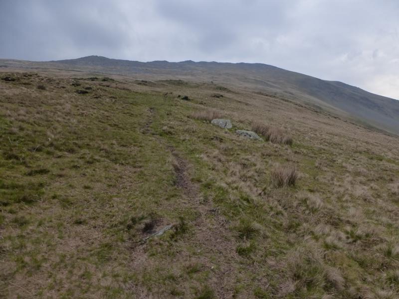
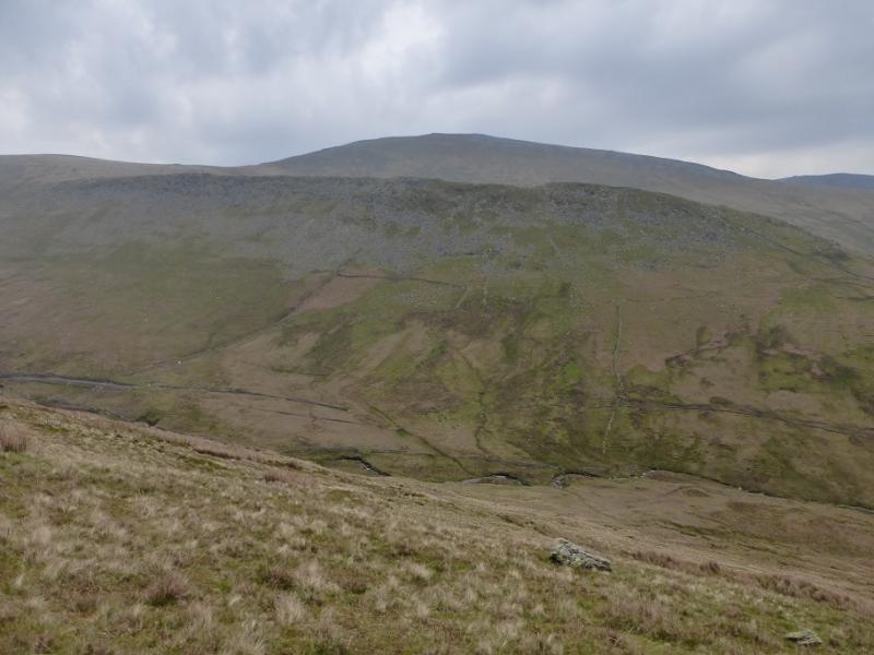
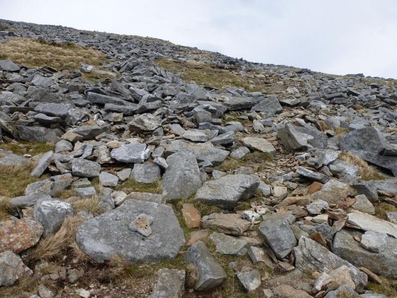
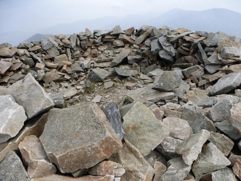
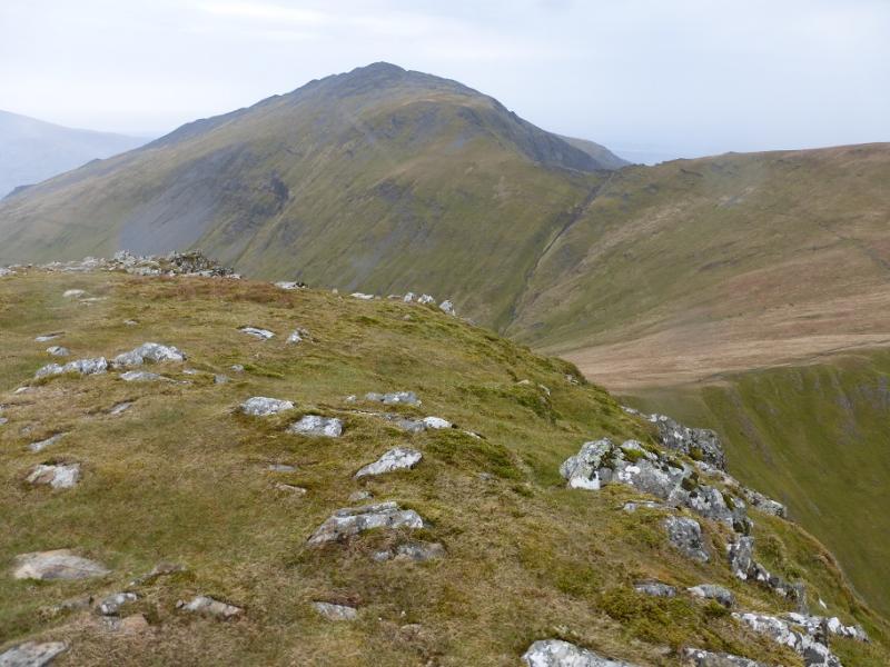
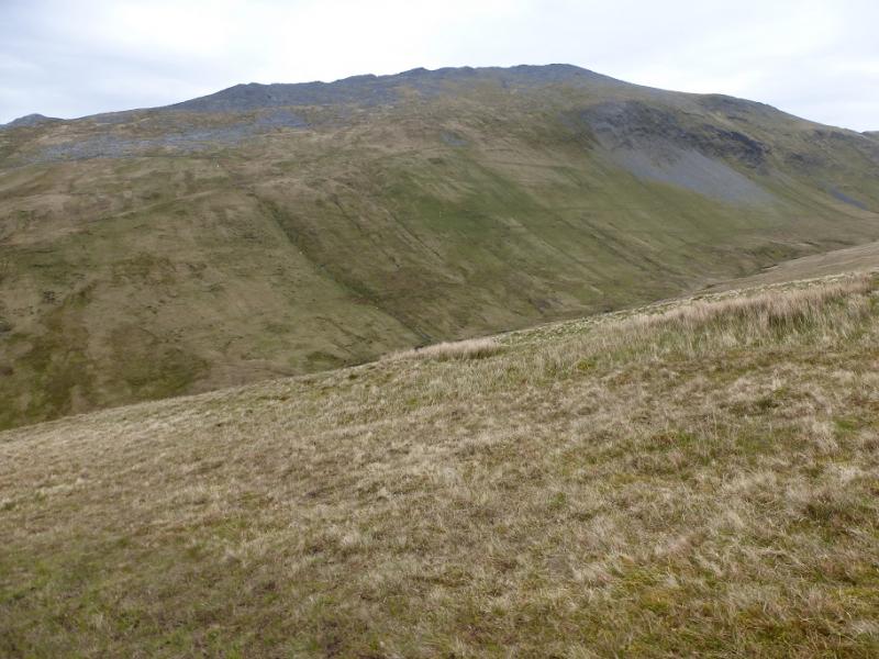
(1) From the car park, walk towards Llanberis along the main road, passing the Vaynol Arms pub, then take the first road on the right, NE, just before a chapel, and up the W (left) side of a campsite. Reach a white cottage then go left through a gate (stile) then right on a path following the stiles until the path/track is reached alongside the Afon Dudowyn. Follow the path until you reach the footbridge, with a handrail, and cross the stream. Follow the obvious path which heads roughly N traversing the side of Elidir Fawr and gradually moving away from the valley bottom. There are a few wet sections but the path is easy to follow and is generally following a straight course. Higher up, the path starts to zig-zag through a boulder field. The summit is now close. The path avoids the worst of the boulder field until it peters out about 50 m S of the summit leaving a short rough section to the large shelter cairn which is the summit of Elidir Fawr, 924 m.
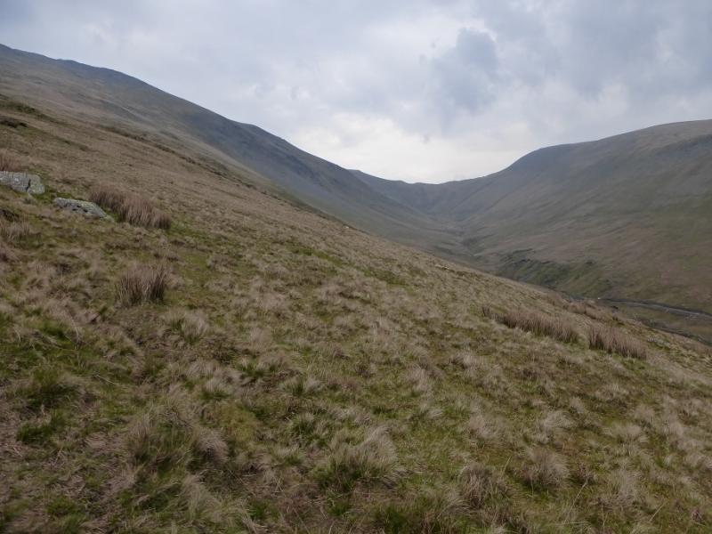
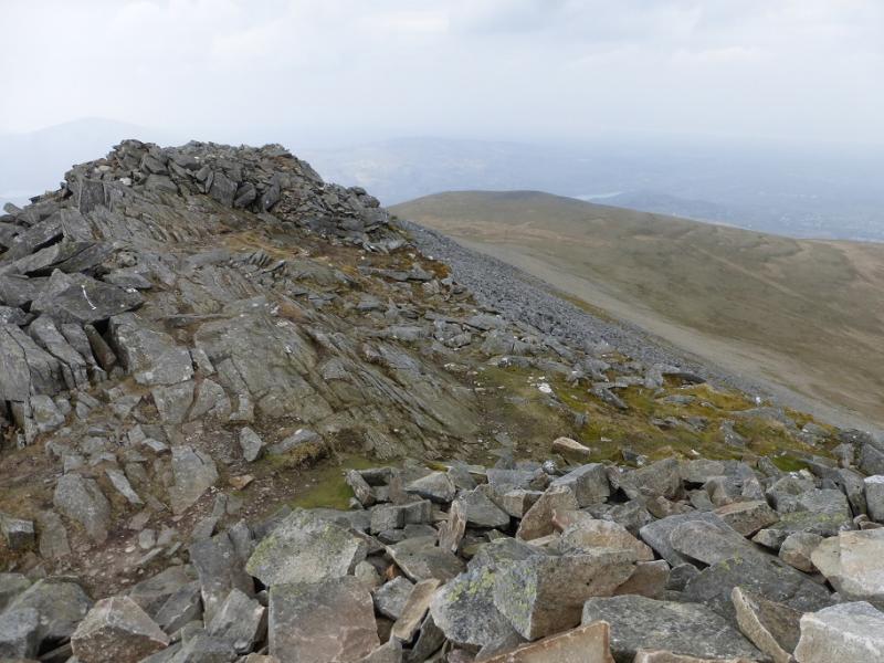
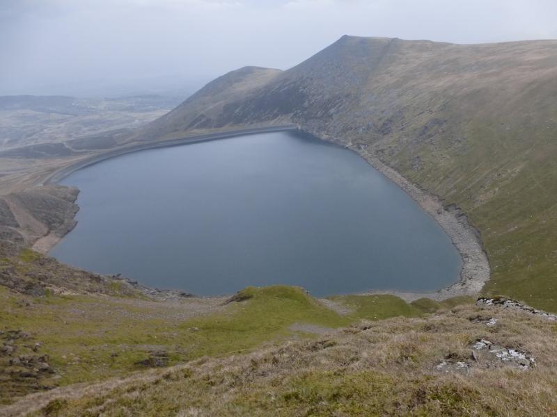
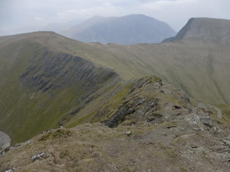
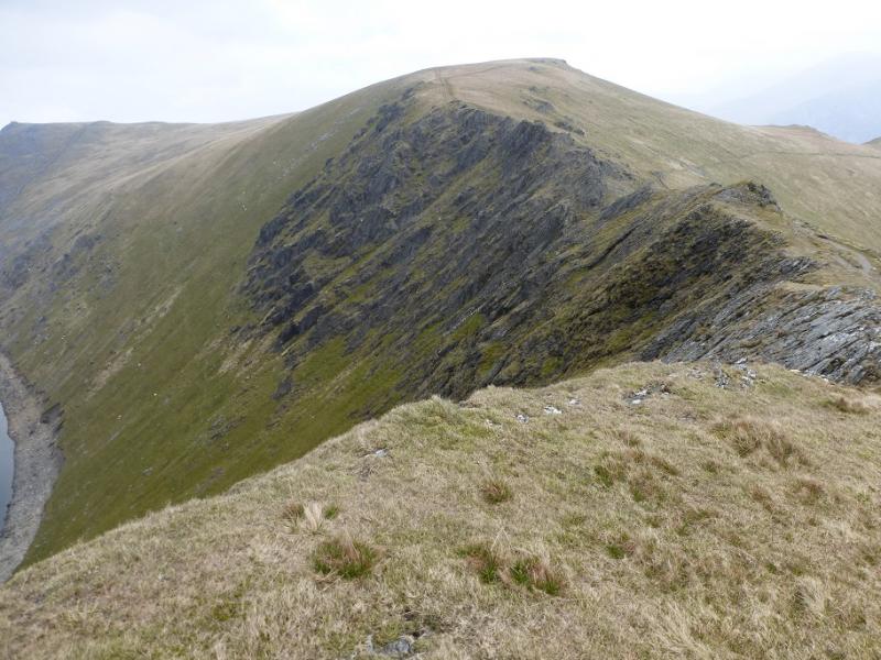
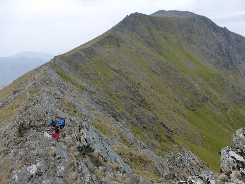
(2) From the summit, head ENE. As on the ascent, there is a good path once clear of the summit area which leads to the Bwlch y Marchlyn – a narrow rocky arête over looking the Marchlyn Mawr reservoir to the N. Continue to the grassy Bwlch y Brecan which curves round to the S, passing below Foel Goch and Bwlch y Cywion before turning SW to go down the Esgair y Ceunant ridge above the Cwm Dudodyn. Towards the lower end of this ridge, drop down into the Cwm Dudodyn to rejoin the outer path after the footbridge.
Notes
(a) This walk took place on 11th October, 2009.
Photos - Hover over photo for caption. Click on to enlarge. Click on again to reduce.