Get Lost Mountaineering
You are here: Wales » North Wales » Carneddau
Full Carneddau Traverse from Gerlan (Revised May 2016)
Full Carneddau Traverse from Gerlan (Revised May 2016)
Start/Finish
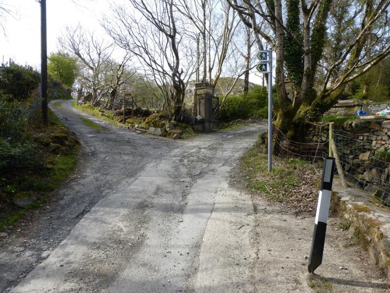
Gerlan, above Bethesda, where there is limited parking. If in doubt, park in one of the car parks in Bethesda and walk the short distance, uphill,to Gerlan. The ideal starting point would be near to the old post office.
Distance/Time
26 km. About 9 – 10 hours.
Peaks
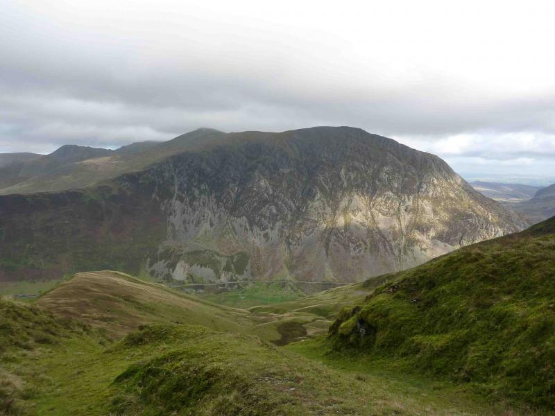
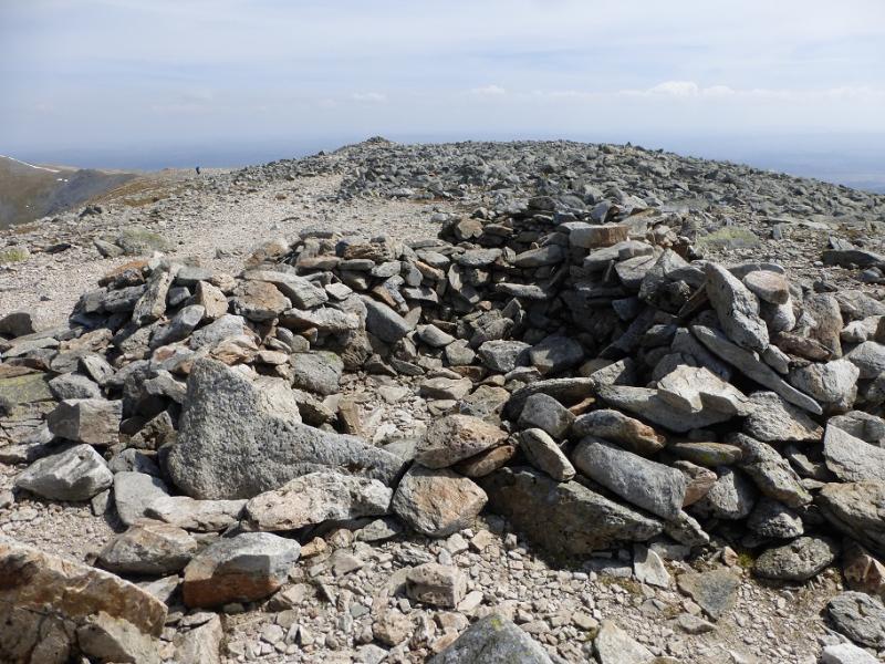
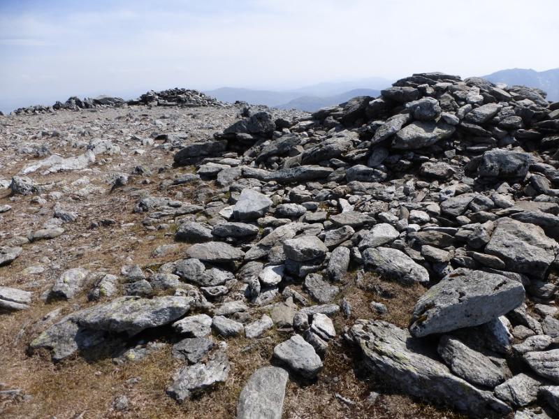
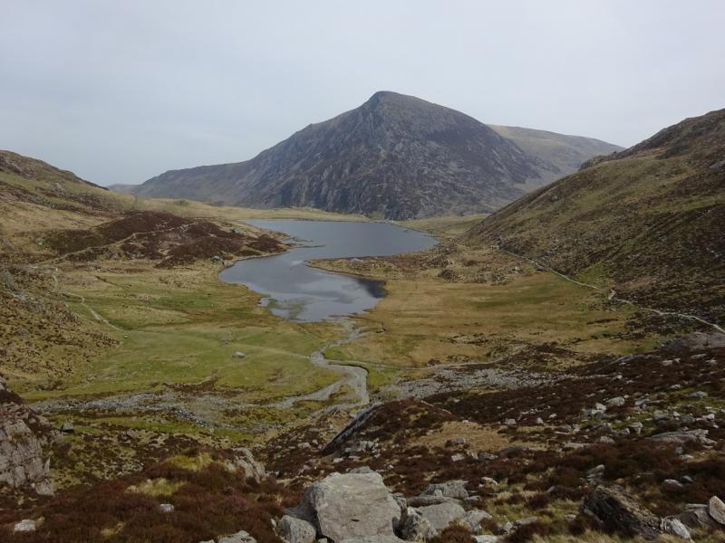
Pen yr Ole Wen, 978 m, SH 655 619.
Carnedd Dafydd, 1044 m, SH 663 630.
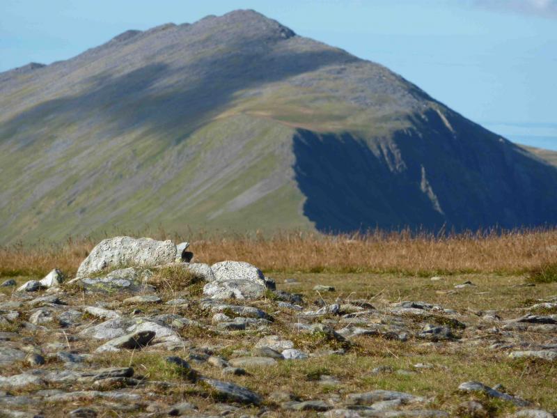
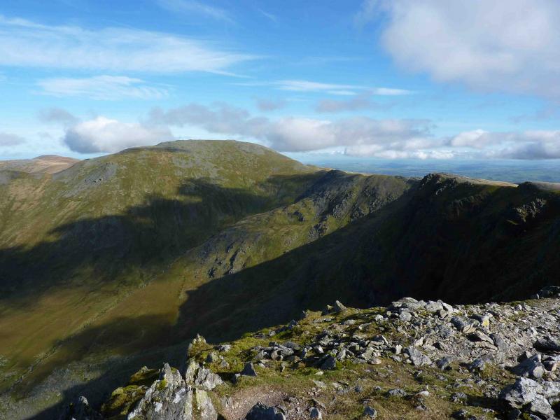
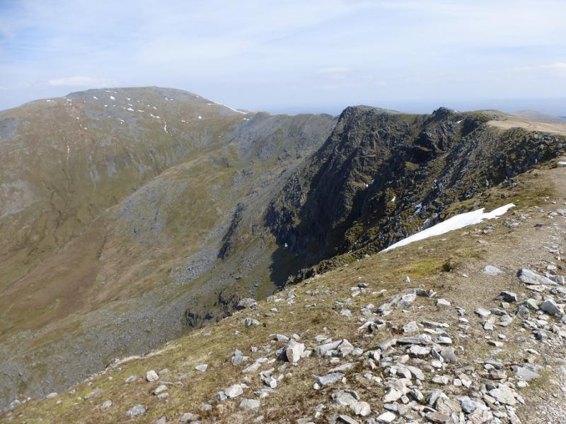
Yr Elenn, 947 m, SH 674 651.
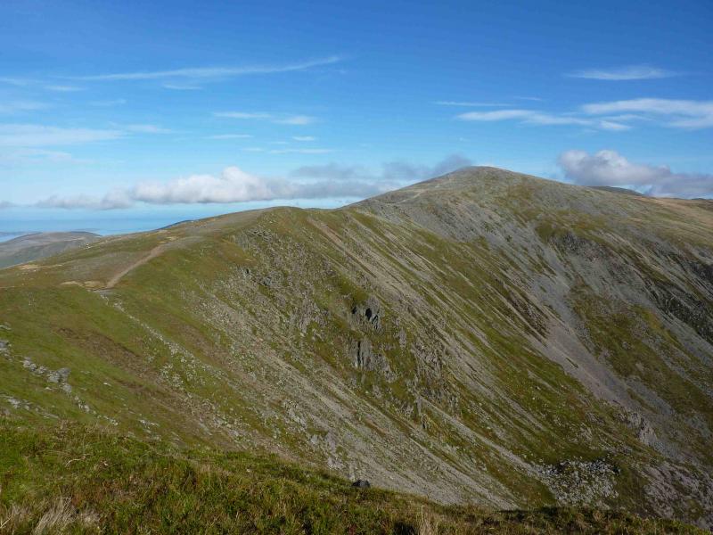
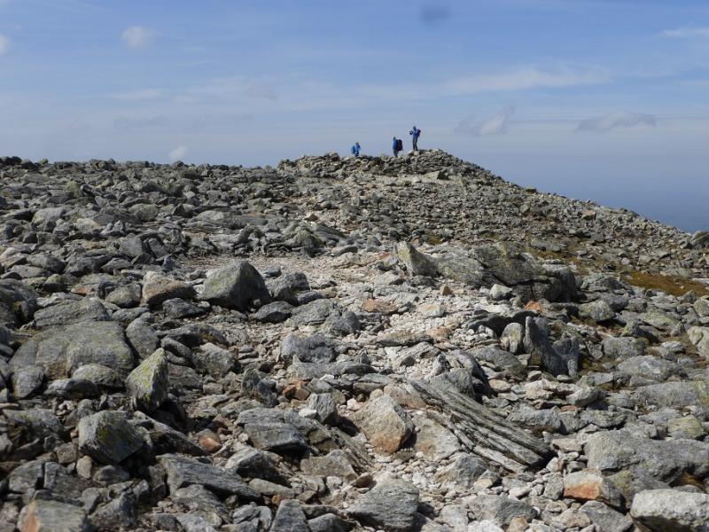
Carnedd Llewellyn, 1064 m, SH 683 644.
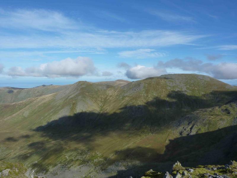
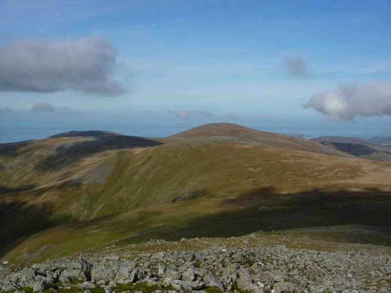
Foel Grach, 976 m, SH 688 658.
Foel Fras, 942 m, SH 696 681.
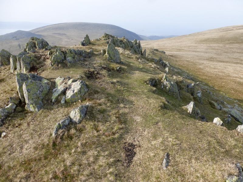
Garnedd Uchaf, 926 m, SH 687 669.
Introduction
The layout of the Carneddau makes a circular walk impossible without retracing some ground. This route cuts the retracing to a minimum but the “price” is a rougher, pathless ascent of Pen yr Ole Wen. Garnedd Uchaf is not universally accepted as a Welsh “Munro” as it has little drop on any of its sides. Note that the three streams draining the NW flank of Carnedd Dafydd are crossed on the way to Pen yr Ole Wen and may be awkward after rain.
Route
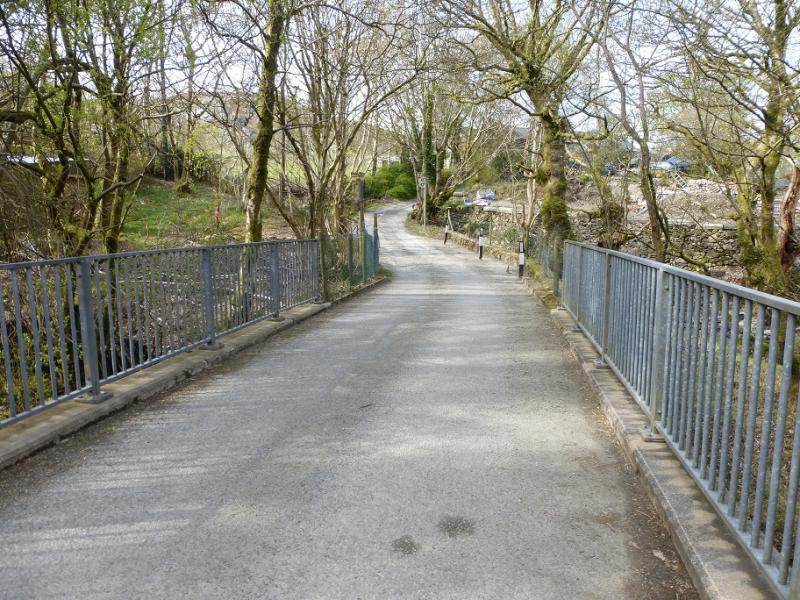
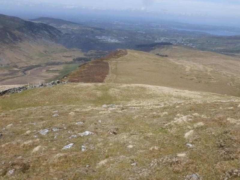
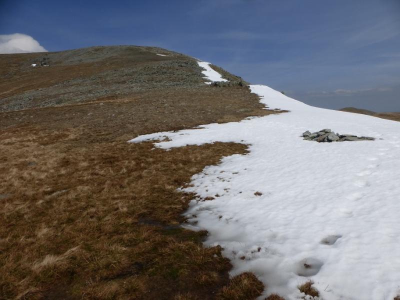
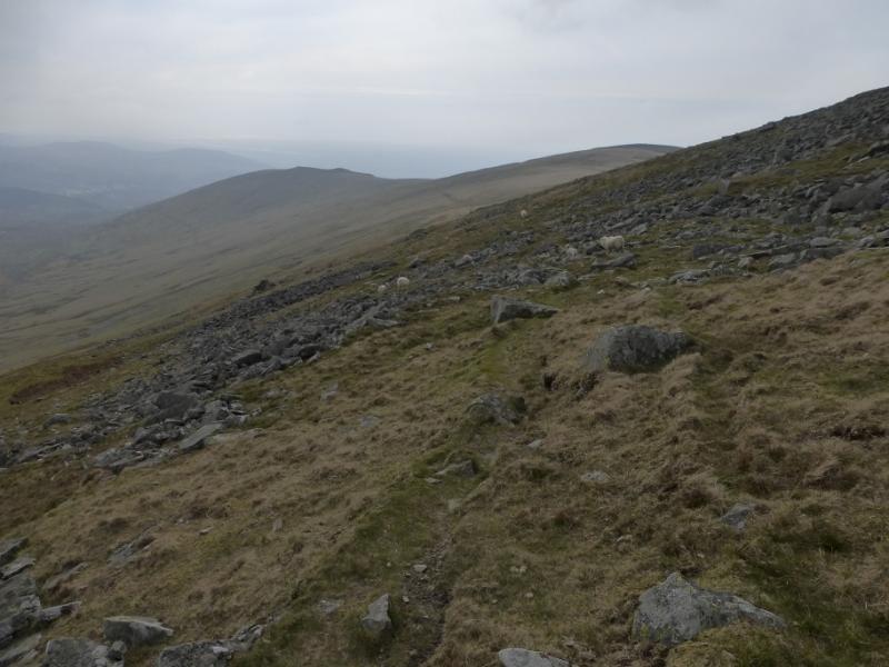
(1) From Gerlan, walk SE to the end of the road on the N side of the Afon Llafar, crossing the Afon Gaseg, before the road turns SW to cross the Afon Llafar and ends. Ignore what seems to be a path before the bridge and look for the track immediately after the bridge on the SW side of the river. From here follow the path which follows the Afon Llafar on its SW bank (set back somewhat from the river). When the start of the Mynydd Du ridge is reached, do not follow the path up and on to its crest. Instead, continue, roughly S, to reach the Braich Ty Du, the NW ridge of Pen yr Ole Wen. There is a fence/wall on the lower part of this ridge but it leaves the ridge higher up. Follow the ridge up, keeping the steep ground on the right until the Bwlch yr Ole Wen col (a narrow neck) is reached. From here walk SSE to the summit cairn of Pen yr Ole Wen, 978 m. Note that the summit has a small cairn whereas the cairn at the start of the plateau is much larger. The summit cairn is close to a precipitous edge to its N which looks into Cwm Lloer.
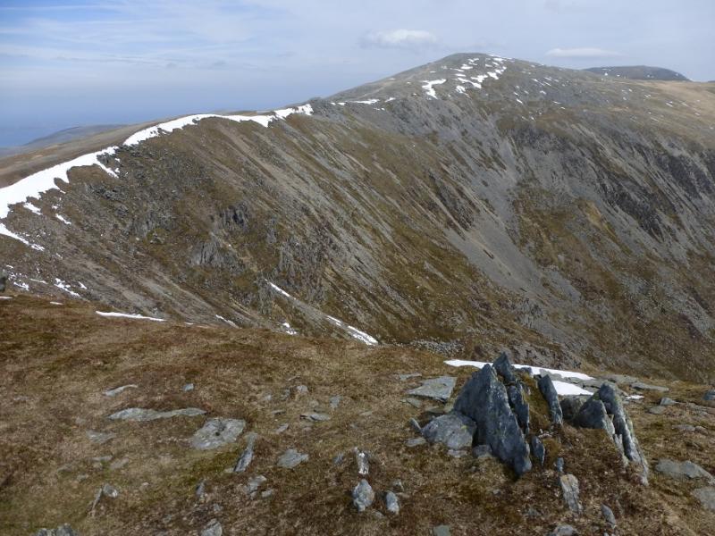
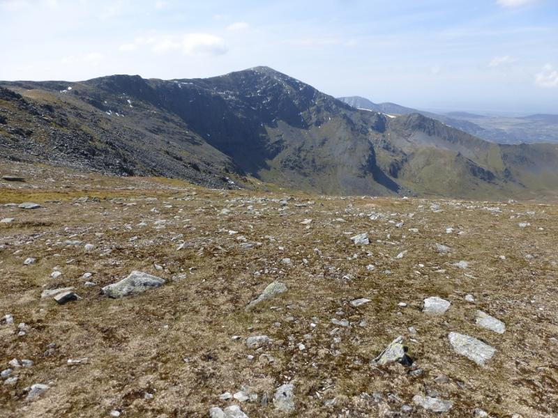
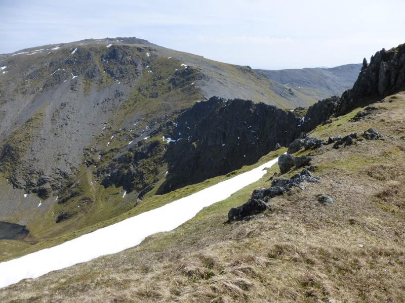
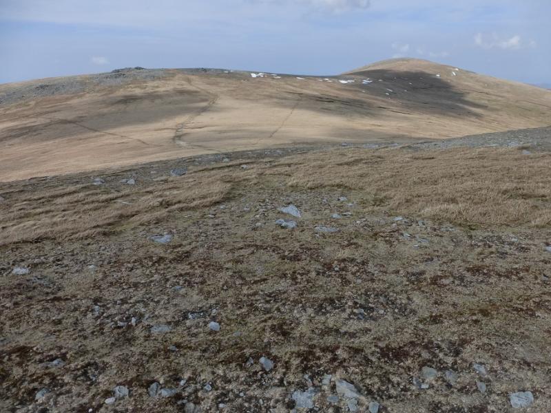
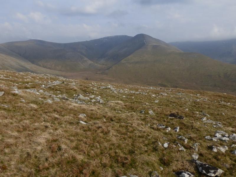
(2) Descend NNW to the Bwlch yr Ole Wen then follow the rim of Cwm Lloer NW, N then NE on a good path, over stony ground, to reach the large summit cairn of Carnedd Dafydd, 1044 m. There are other large cairns around which may be awkward in mist.
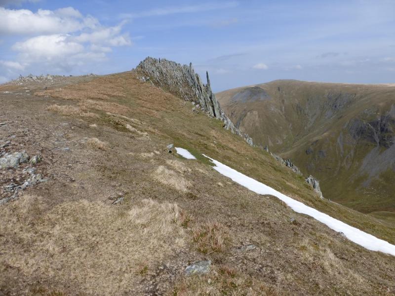
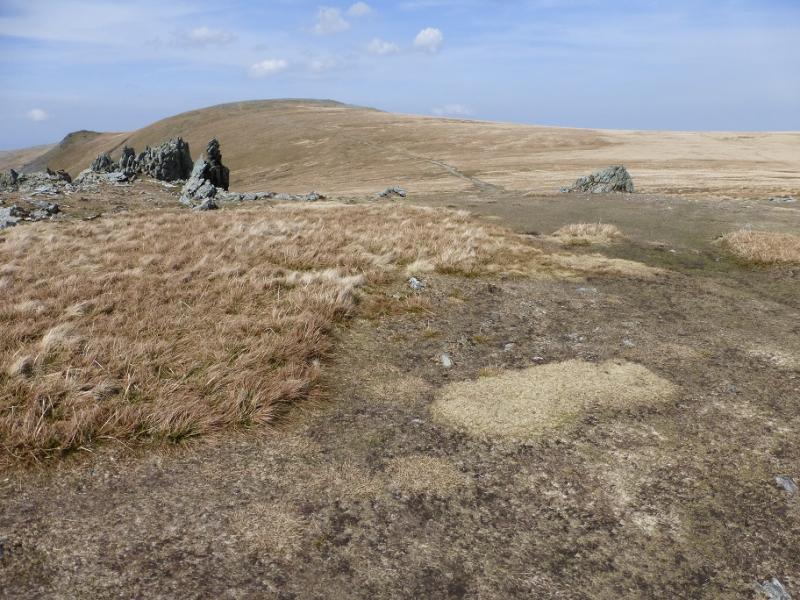
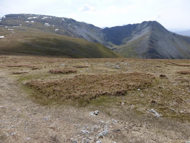
(3) Head E along Cefn Ysgolion Deon above the Black Ladders (the cliffs to the N) to reach Bwlch Cyfrgw-drum. When the path starts to ascend Carnedd Llewellyn, leave it and traverse NNW to reach the col between Carnedd Llewellyn and Yr Elen. There are hints of a path here and there, especially to begin with. Keep horizontal as the target col is lower than the Bwlch Cyfrgw-drum. The going is moderately steep grass with the odd outcrop. Once the col is reached, join the path coming from Carnedd Llewellyn and follow it to the small summit cairn of Yr Elen, 947 m, which is perched on the eastern side of a small plateau with a steep drop below. On 5/5/16, the only obvious cairn was on the W side of the plateau with two rocky tops on the E side. The E side tops seem higher but it is easy to visit all three.
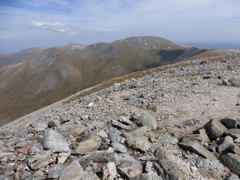
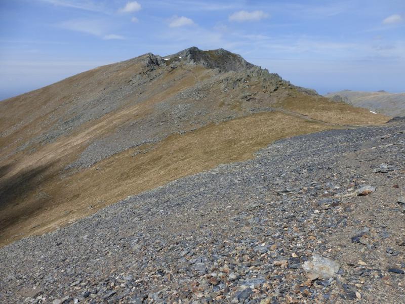
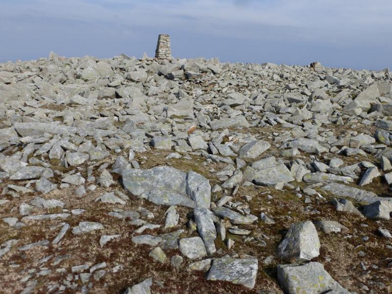
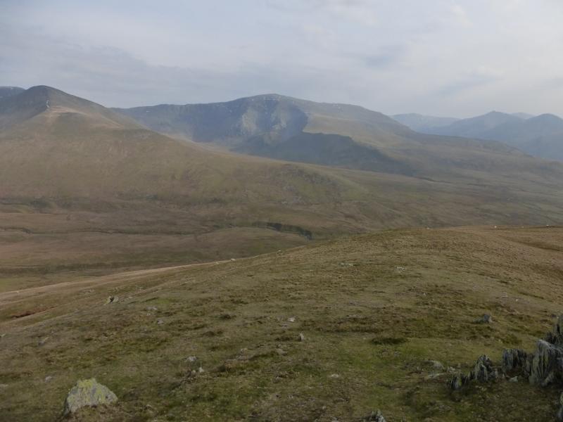
(4) Retrace to the SE col then ascend the obvious path to the large summit cairn of Carnedd Llewellyn, 1064 m, which is on the far side (E) of the summit plateau near a wall. This plateau can be very confusing in mist. If in doubt, go across the SW flank of Carnedd Llewellyn and pick up the path going directly to the summit from Bwlch Cyfrgw-drum.
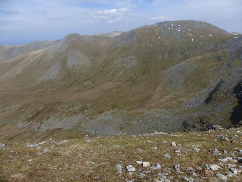
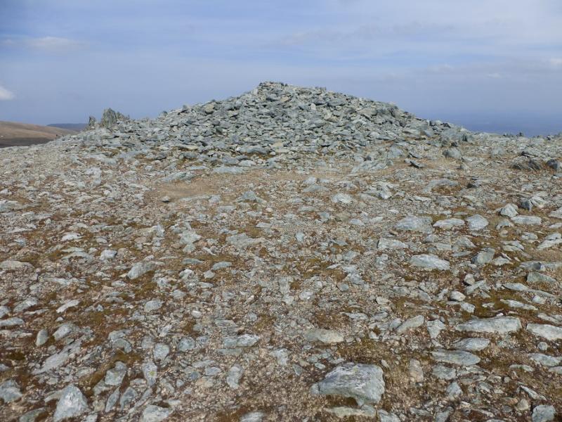
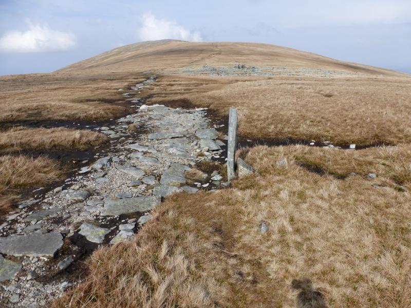
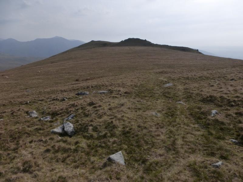
(5) Head NNE on a good path to the Gwaun y Garnedd before a short ascent, N, to the summit cairn of Foel Grach, 976 m. Just to the N of the summit, but lower, is a shelter with a hut although this was not obvious on 5/5/16 and may now have been removed.
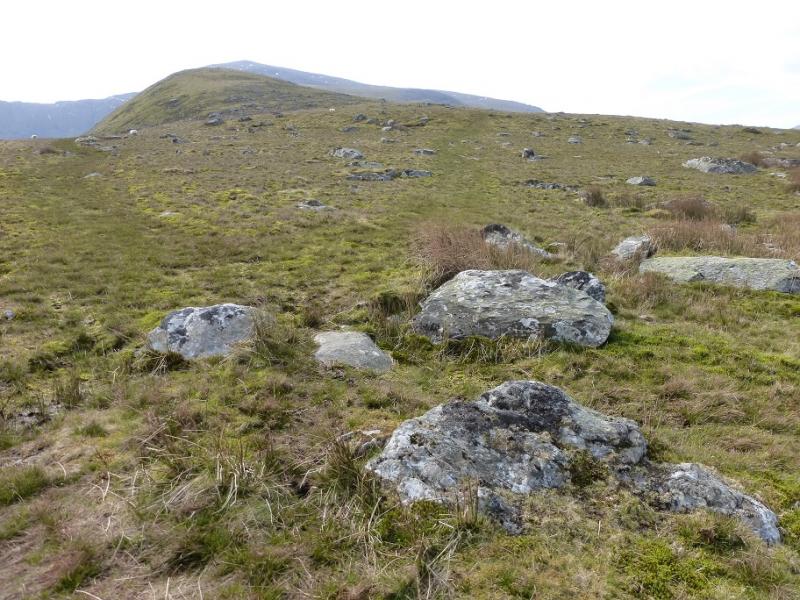
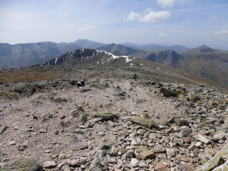
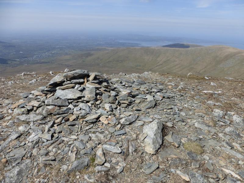
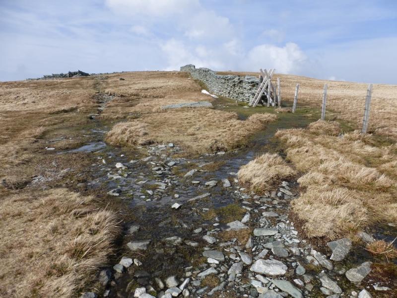
(6) Descend N, on the same path, to reach a shallow col below Garnedd Uchaf. From the col, a path makies a rising traverse to reach the broad crest between Garnedd Uchaf and Foel Fras. Higher up a fence/wall is joined and the path leads into an easy boulder field before reaching the summit trig point of Foel Fras, 942 m.
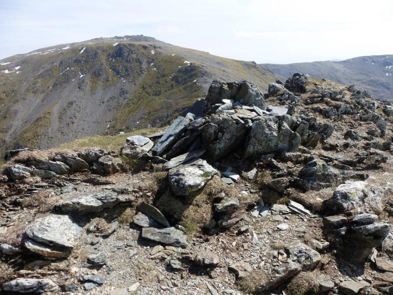
(7) Retrace back towards Garnedd Uchaf and follow the obvious path to its stony summit plateau then ascend easily to the rocky bouldery summit of Garnedd Uchaf, 926 m.
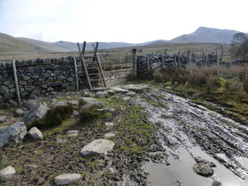
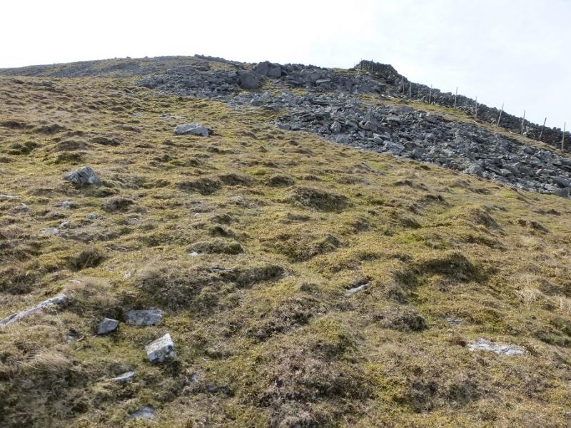
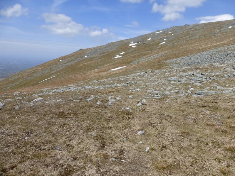
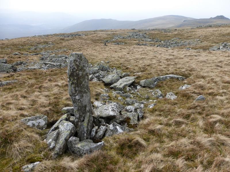
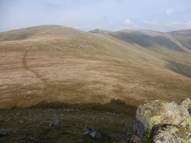
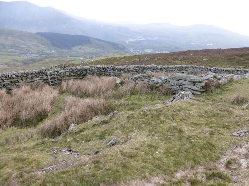
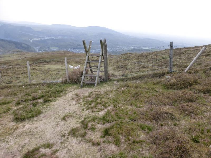
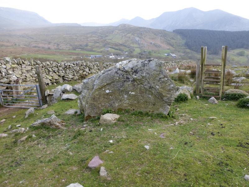
(8) From the summit, follow the broad ridge WNW bypassing (or climbing if you wish) Yr Aryg, Bera Bach and Drosgl, all on their S sides where there is a path with a few marker stones. Turn SW over Gyrn Wigau and drop down SW down its crest on a path which should be easy to follow. This crosses two stiles, slightly to the left of the crest, before descending down to a walled field and the end of a track. Go across the end of the track and over a stile. Follow a path which gradually curves around to the right. Before a building is reached, cross a metal stile on the left. Now walk straight down towards a row of houses. A gate is passed through. There is a road in front of the houses but it is hidden from view so don't be tempted to drift right. Reach the road and follow it down to the road out of Gerlan used earlier.
Notes
(a) This walk took place on 12th October, 2009, and was revised on 5th May, 2016.
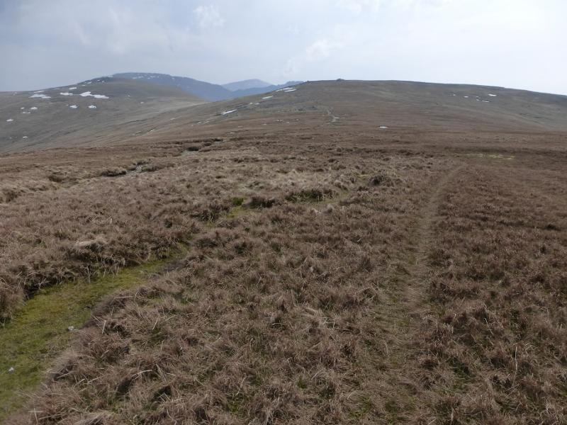
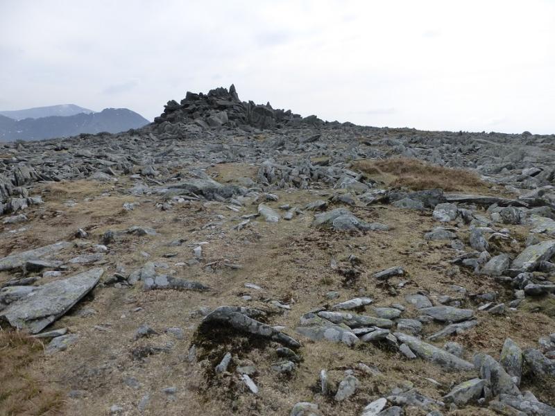
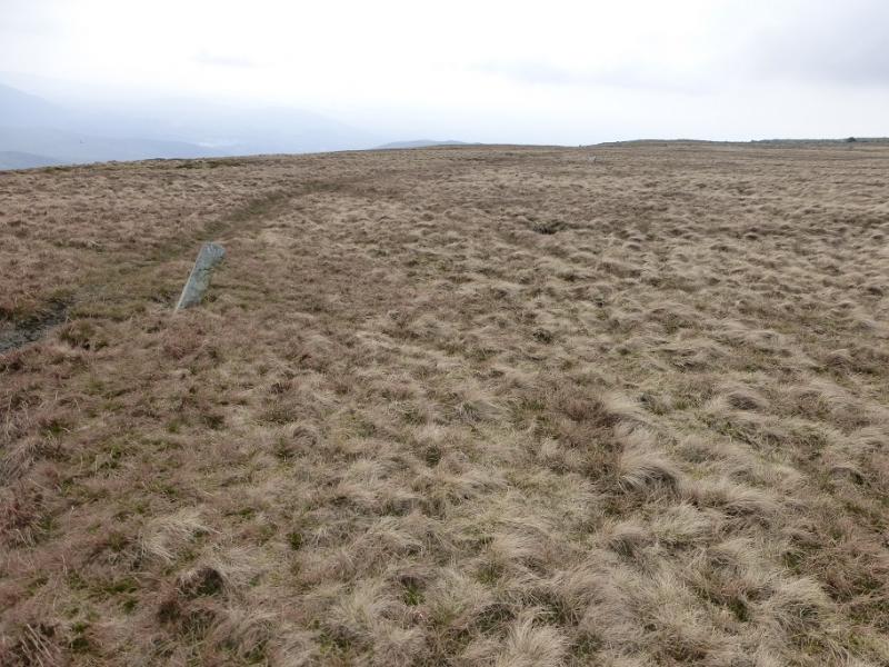
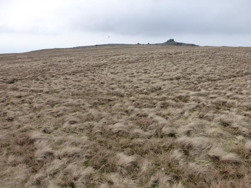
Photos - Hover over photo for caption. Click on to enlarge. Click on again to reduce.