Get Lost Mountaineering
You are here: Wales » North Wales » Porthmadog to Betws-y-Coed
Moel Siabod
Moel Siabod from Bryn Glo near Capel Curig
Start/Finish
Car park in Bryn Glo about 1.5 km E of Capel Curig on the A5.
Distance/Time
9 km Approx 5 hours
Peaks
Moel Siabod, 872 m, SH 705 546. OL 17 Yr Wyddfa & Conwy Valley
Introduction
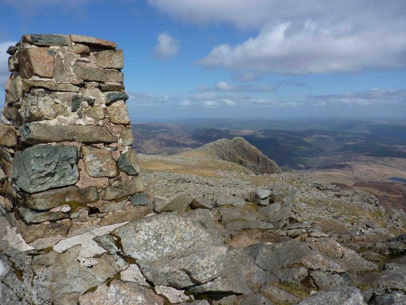
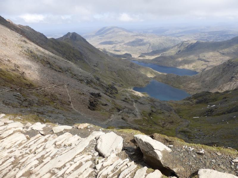
This is a very pleasant walk which starts and finishes on an easy track. The ascent ridge offers a lovely, and fairly safe, scramble. As an added bonus, the view from the summit looks directly into the Snowdon Horseshoe.
Route
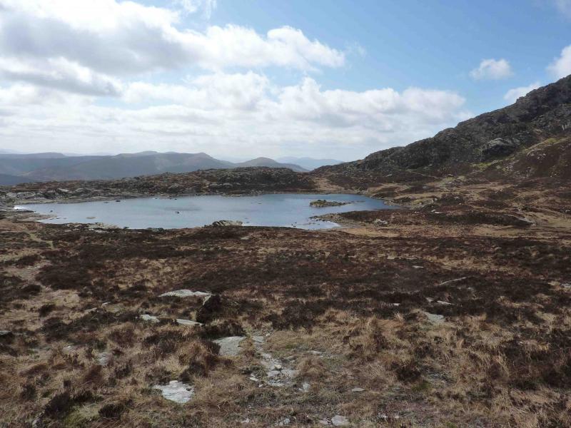
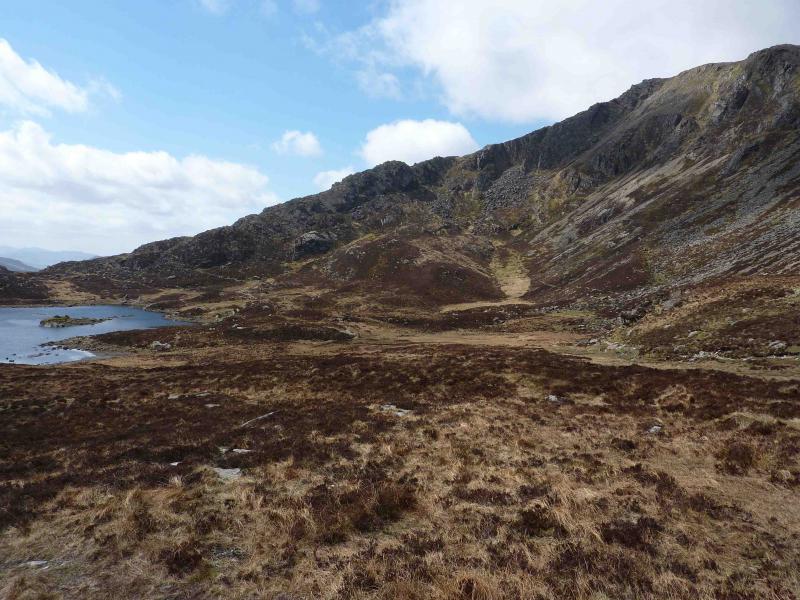
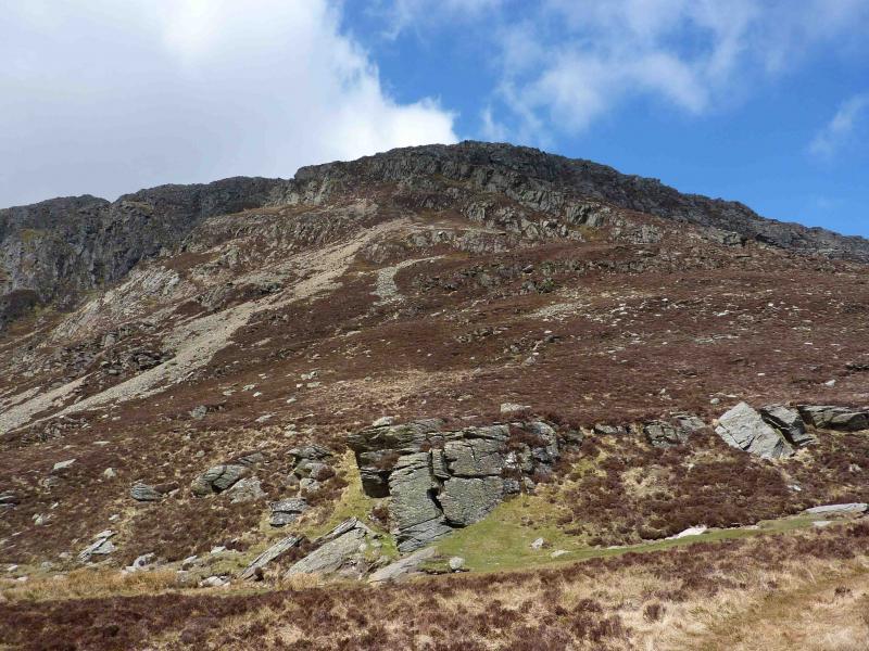
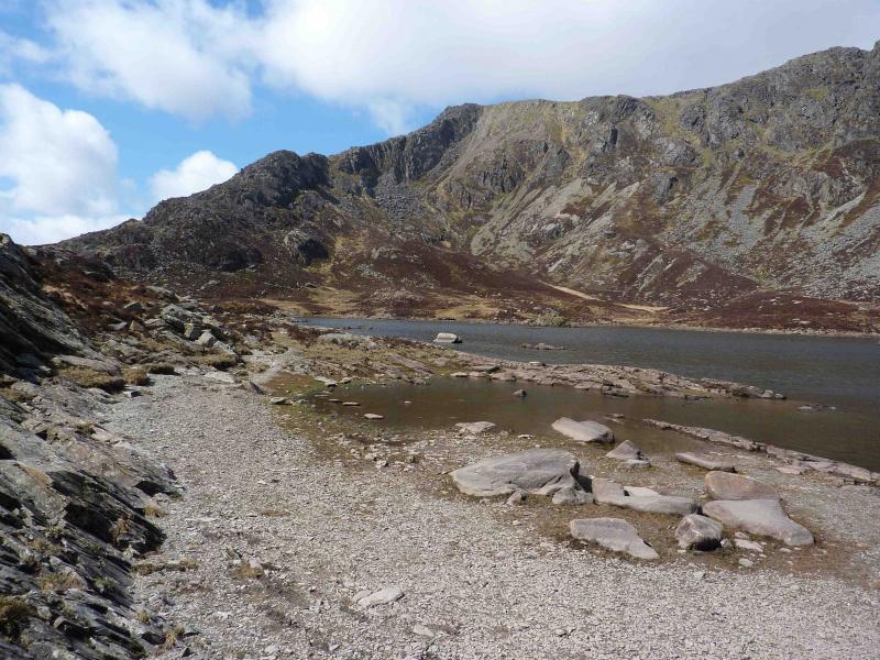
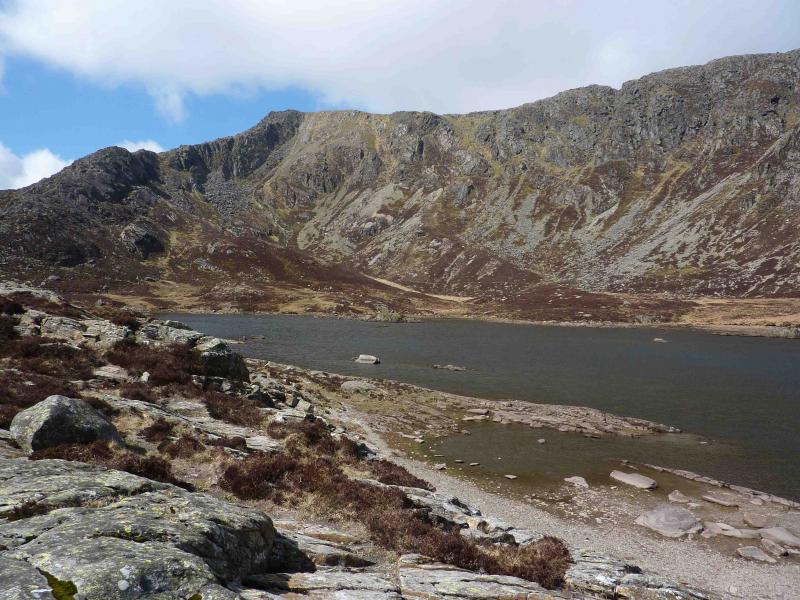
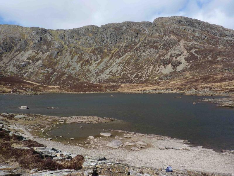
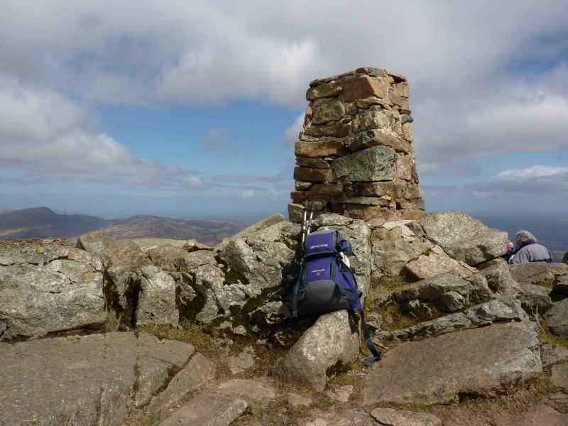
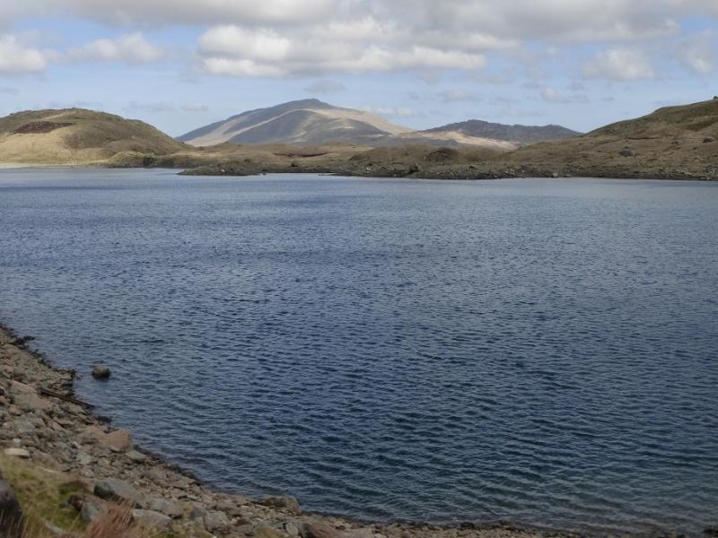
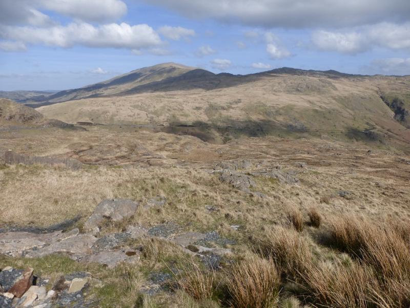
(1) From the car park, walk W for about 200 m and cross the old stone bridge high above the river. Ignore the right turn just after the bridge and walk about 100 m further to take a right fork which goes over a cattle grid and then quite steeply uphill. To avoid Rhos Farm, higher up, there is a well constructed diversion which rejoins the track above the farm. Continue on the track, over a stile past a building on the left, to reach open country. Ignore the left turn (which has a “Private” sign about 25 m down it) and stay on the main track. There is another stile as the track heads straight for the mountain before it swings left to go under the SE flank of the mountain. The track then passes an idyllic small lake before climbing and passing some spoil heaps and the ruins of miners’ cottages. The track is now a footpath at times but it is still easy to follow. A disused quarry is passed before reaching a broad grassy saddle with Moel Siabod on the right and Llyn y Foel ahead with the ascent route of the Daear Ddu ridge beyond. Two paths go around the right of the lake but it is better for views and photos to go around the left side and join the Daear Dhu ridge slightly lower down. Climb the ridge where there is intermittent but excellent scrambling on the crest. Any difficulties can be avoided on the left. The further left one goes, the easier it gets. The ridge continues to the trig point at the summit of Moel Siabod, 872 m. A large shelter cairn is about 30 m away across the summit plateau.
(2) Walk across the plateau NE to the rocky end of the summit ridge where there is a path. Descend off the end of the ridge on paths which are grassy or stony and somewhat eroded in places. As level ground is reached at the foot of the ridge, a stile is crossed and the outward track is reached in about another 50 m.
Notes
(a) This walk took place on 20th April, 2010
Photos - Hover over photo for caption. Click on to enlarge. Click on again to reduce.
on way to Moel Siabod.JPG)