Get Lost Mountaineering
You are here: Wales » North Wales » West of Porthmadog to Beddgelert to Caenarfon Road
Nantile Ridge
Nantile Ridge from Rhyd-Ddu
Start/Finish
Car park at Rhyd-Ddu just to S of village centre on A4085 road from Beddgelert to Caernarfon.
Distance/Time
15 km Approx 8 hours
Peaks
Y Garn, 633 m, SH 562 626.
Mynydd Drws-y-coed, 695 m, SH 549 517.
Trum y Ddysgyl, 709 m, SH 544 516.
Mynydd Tal-y-mignedd, 653 m, SH 514 535.
Craig Cwm Silyn, 734 m, SH 526 503. OL 17 Yr Wyddfa & Conwy Valley
Introduction
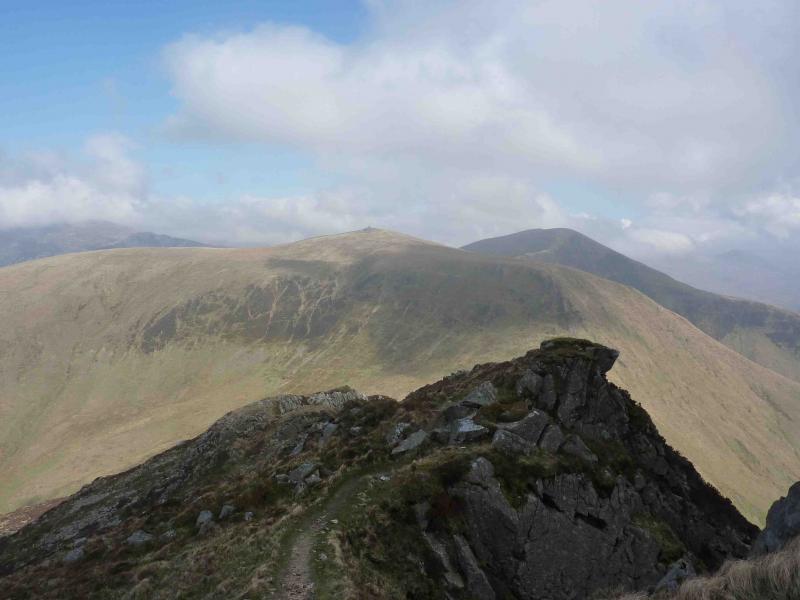
Despite its modest height, this is one of the best ridge walks in Wales with narrow ridges and several opportunities for scrambling. The walk is essentially linear so without two cars it is best retraced rather than drop down into the Beddgelert Forest.
Route
(1) Come out of the car park and cross the road and take the obvious path ahead which meets the road SW from Rhyd-Ddu at a right angle bend. Do not go on to the road but immediately take another path which heads towards Y Garn. The path soon climbs steeply before levelling off and crossing a wall just before the summit cairn of Y Garn, 633 m, which is perched on the edge of a cliff. Another very large cairn is close by.
(2) Head S on an obvious path on the right of a wall to reach the foot of a rocky crest which can either be climbed direct or go left to avoid most difficulties. A wall is crossed near the end of the rocky section after which it soon becomes an easy grassy walk to the highest point of Mynydd Drws-y-coed, 695 m, where there is no cairn. The highest point is just past a stile over a fence and slightly to the right.
(3) Descend down a grassy ridge which curves round to the right to reach a high col. There is a choice of paths. To keep to the crest, take the right fork to reach the E top of Trum y Ddysgyl, 709 m. There is no cairn. Walk W along the grassy plateau rejoining the main path just before the lower W top.
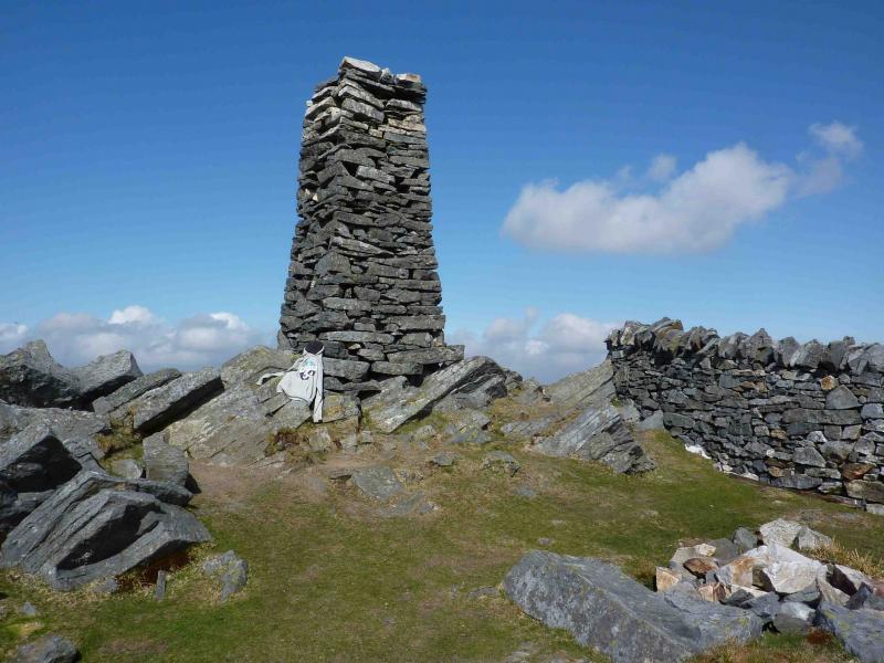
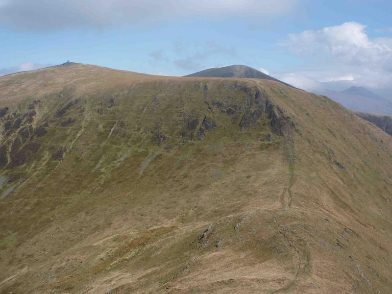
(4) Descend the obvious grassy path W on a narrowing grassy ridge which, at one point, has a “gap” in it which needs care to descend on the left before ascending the other side; it is almost a scramble. An obvious grassy path continues towards Minydd Tal-y-mignedd. The grassy path climbs through a hole in a wall then goes right, along a wall to the 4 m high obelisk summit of Minydd Tal-y-mignedd, 653 m.
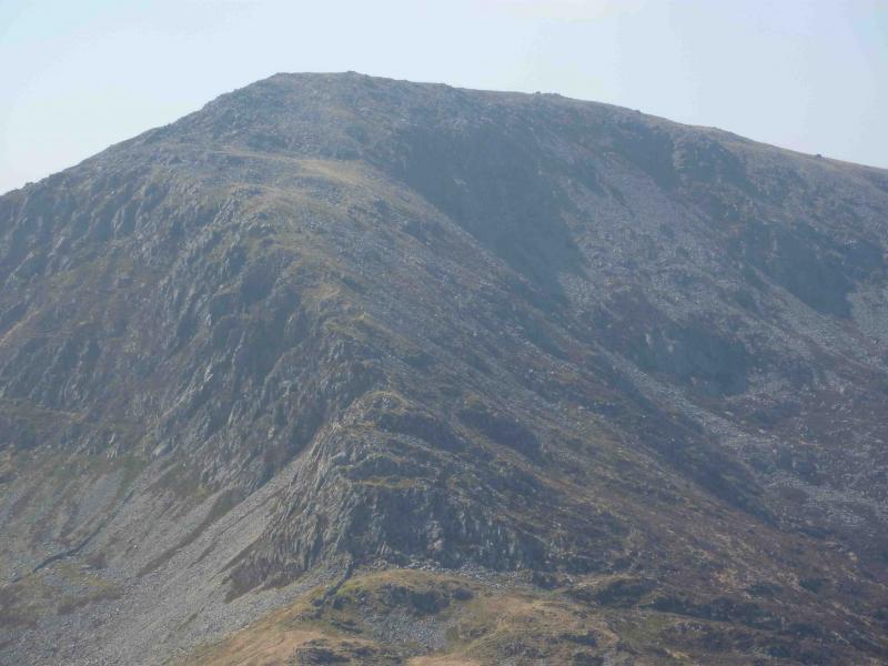
(5) Retrace to hole in wall then follow grassy path on right of fence SSW before dropping steeply to Bwlch Dros-bern. Ascend the obvious path from the col. The easiest path option is to go right at the first fork and pass below broken buttresses before cutting back on to the crest and then follow the obvious path, which avoids the worst of the boulder fields, to reach the large summit cairn of Craig Cwm Silyn, 734 m. There is a square slate cairn about 100 m further on which is slightly lower. Alternatively, a scambling route could be followed from the first fork.
(6) Retrace the ridge back to the col just before Y Garn then traverse across easy slopes to the ridge to the S and above the initial ascent path. Follow this grassy ridge down to rejoin the outward path lower down just before a stile.
Notes
(a) This walk took place on 15th April, 2010.
Photos - Hover over photo for caption. Click on to enlarge. Click on again to reduce.
 from Rhyd-ddu.JPG)
 summit.JPG)
.JPG)
.JPG)
.JPG)
.JPG)