Get Lost Mountaineering
You are here: Wales » North Wales » Rhinogs Area
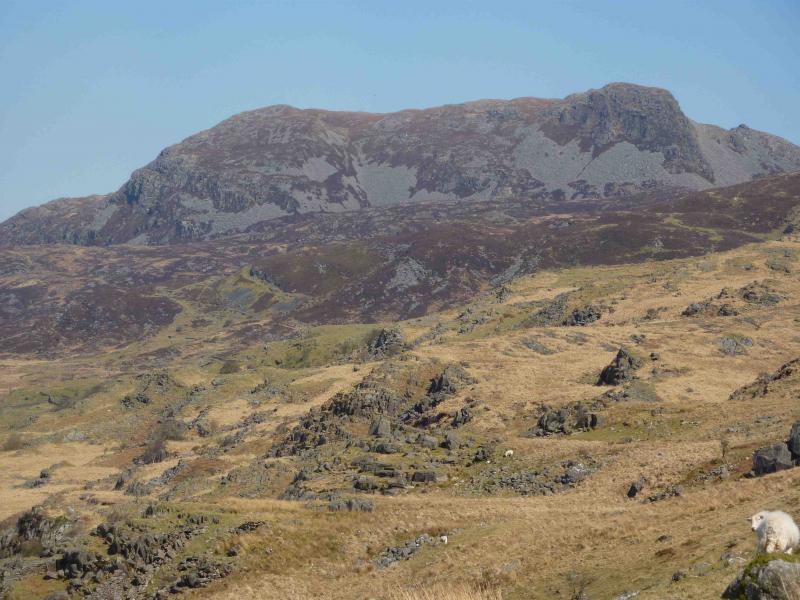
Rhinog Fach from Cwm Nantcol
Rhinog Fach from Cwm Nantcol
Start/Finish
Car park (£2) at Maes-y-garnedd farm at the head of Cwm Nantcol which is signposted off the centre of the village of Llanbedr which is on the coastal A496, a few miles S of Harlech. Once the Cwm Nantcol turning is taken at an old bridge, the road becomes very narrow. Follow the road to its tarmac end where it becomes a track and there is a turning into the farm. There are plenty of “rough” parking spaces near the turning.
Distance/Time
12 km Approx 6 hours
Peaks
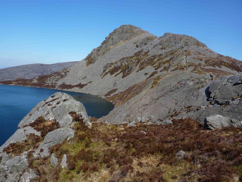
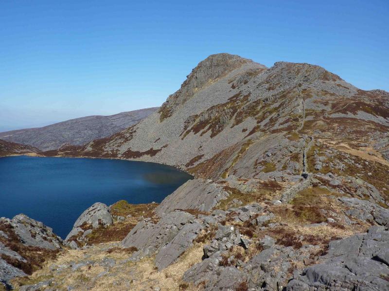
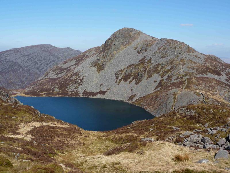
Rhinog Fach, 712 m, SH 664 270.
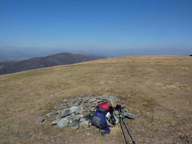
Y Llethr, 756 m, SH 661 258. OL 18 Harlech, Porthmadog & Bala
Introduction
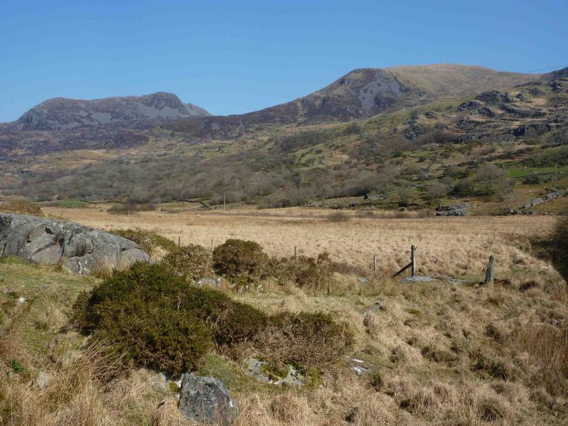
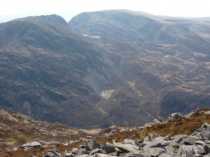
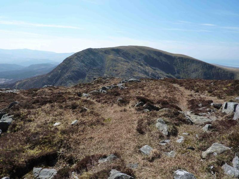
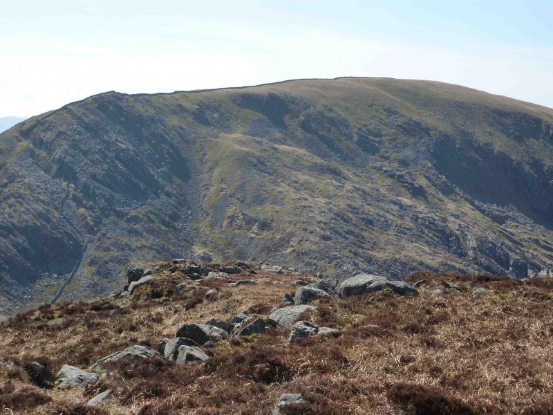
The Rhinogs are known for being quite rough and heathery hills but there are plenty of paths through the heather. The ascent and descent of Rhinog Fach are quite steep as is the ascent of Y Llethr. The views are quite stunning, especially from above Llyn Hywell looking towards Rhinog Fach.
Route
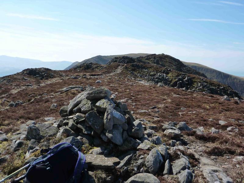
(1) Just after the turning into the farm, there are some stepping stones over a minor stream to the right of the track. These cannot be seen from the track. Cross the stepping stones and follow a path, along a wall at first, heading towards the col between Rhinog Fawr (left) and Rhinog Fach (right). The path has been improved in places but there can be muddy sections. The hills close in on the path then recede again. A stile on a wall to the right should be passed. A little further, but initially out of sight, and after a boggy section is a second stile with two piles of stones immediately before it. Cross this stile and climb a steep narrow path through the heather to reach tiny Llyn Cwnhosan – a lovely place to rest. Pass the lake on its right, climbing gently on a very stony path. Soon after, an obvious path joins from the right (this came from the first stile). The path almost levels out and there is a fainter path forking left across boggy grass. Take this path which soon swings left below a large scree slope which was visible even from the start.. The path steepens but mainly stays out of the scree. The gradient eases as the summit ridge is gained. Turn left to reach the N top in about 20 m then retrace and walk along the undulating ridge to the large summit cairn of Rhinog Fach, 712 m.
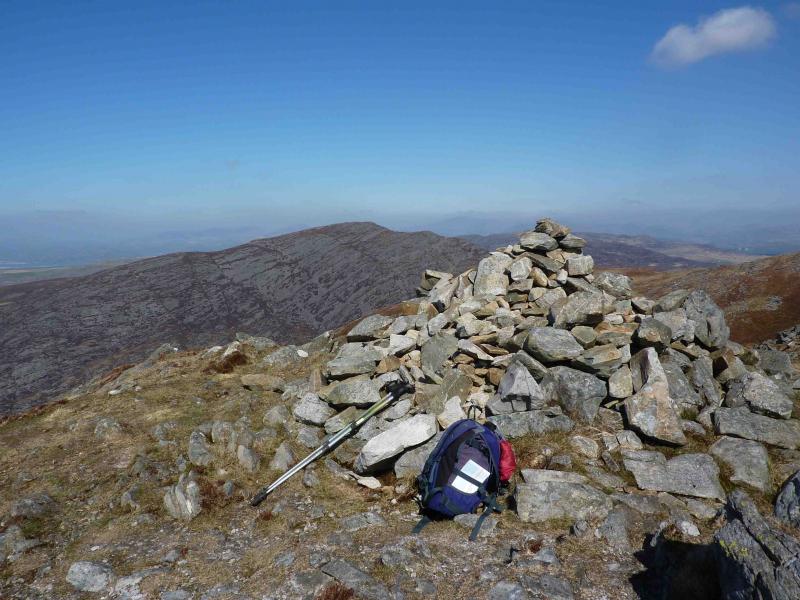
(2) An obvious wall starts a few metres from the summit. Follow the right side of this E down rough, stony and rocky ground – there are easier lines to the left – to reach a col above Llyn Hywell. Ascend initially by the side of a wall before the path swings right and zig-zags up to the summit plateau. Walk along the wall on the flattish summit plateau to a low cairn about 20 m to the right, W, of the wall and just after a wall junction. This is the summit of Y Llethr, 756 m.
(3) Follow the wall down to a junction of walls where there are two stiles. Cross the stile ahead and follow the wall to the right down grassy, sometimes wet, slopes for about 1.5 km until it turns right. Follow the wall for about 200 m and go through a “gate”. Traverse across right, NE, to cross a stream and reach a grassy track just beyond. Follow this track as it zig-zags down, becoming more stony, to its end near a farm. Turn left down a concrete road to reach the Cwm Nantcol road and follow this back to the start.
Notes
(a) This walk took place on 15th April, 2010.
Photos - Hover over photo for caption. Click on to enlarge. Click on again to reduce.
 & Rhinog Fach from W.JPG)