Get Lost Mountaineering
You are here: England » Peak District » Bleaklow, Alport, Derwent Edge & Howden Edge from Derwent Valley
Alport Ridge & Alport Castles
Alport Ridge & Alport Castles from Fairholmes Car Park, Derwent Dam
Start/Finish
Fairholmes car park just to the S of the Derwent Dam. This is about 2 miles up the minor road, from the A57 (Snake Pass), on the W side of the Ladybower Viaduct which crosses the northern arm of Ladybower Reservoir. In winter, this road is often untreated and it can be quite hazardous under snow and ice. The A57 is usually gritted but it does not take much wintry weather to close the Snake Pass at its highest point, beyond the Snake Inn.. It is expensive to park in this car park but there are good facilities, including toilets, snack bar, gift shop and ranger service. Free parking is available on the minor road, some within a few hundred metres of Fairholmes.
Distance/Time
12 km Approx 4 - 5 hours
Peaks
None. OS Outdoor Leisure 1: Dark Peak
Introduction
This is a fine ridge walk in the Dark Peak which, in good weather has good views of the Mam Tor ridge and Kinder, passes by Alport Castles, before descending to head of the large inlet to the N of the Howden Dam and returns alongside the Howden and Derwent Dams. Some of the going can be boggy, even in a dry spell, and gaiters are recommended.
Route
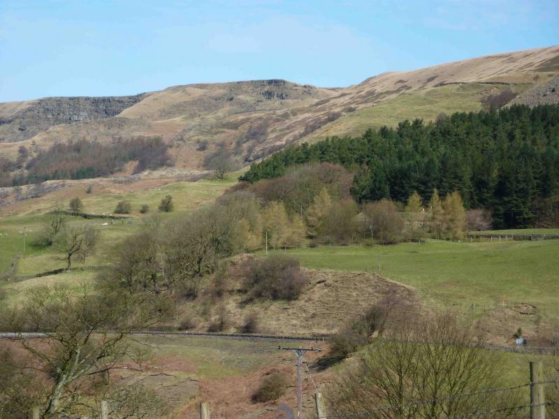
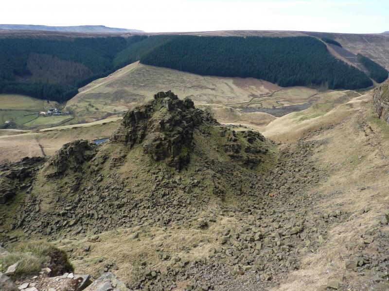
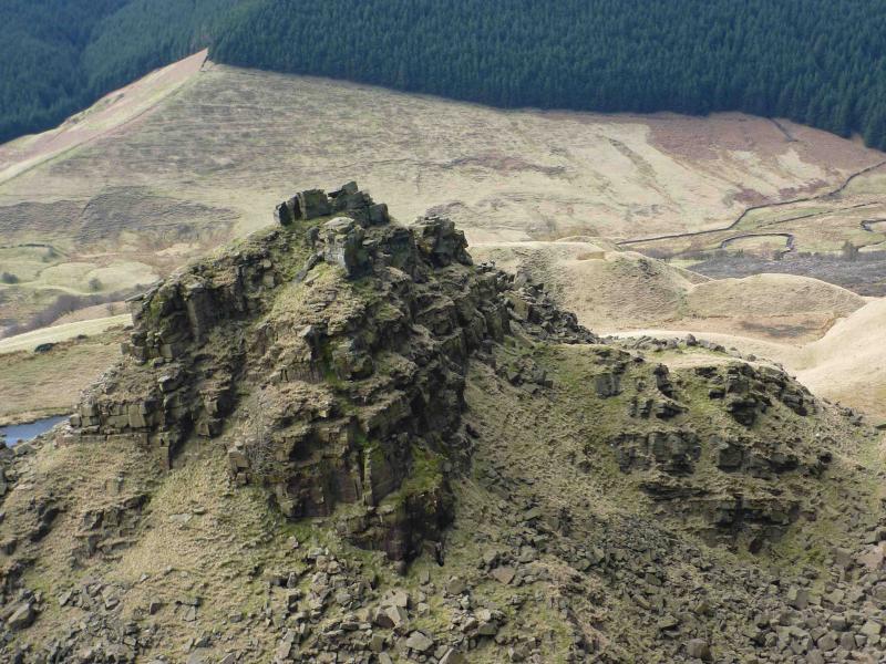
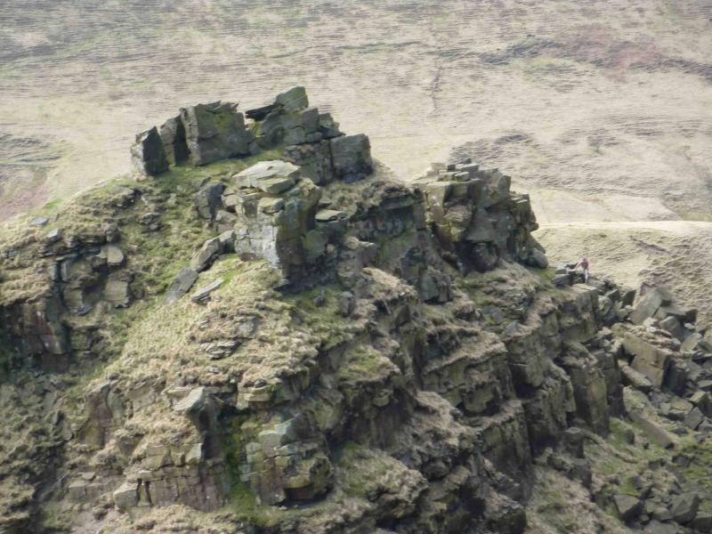
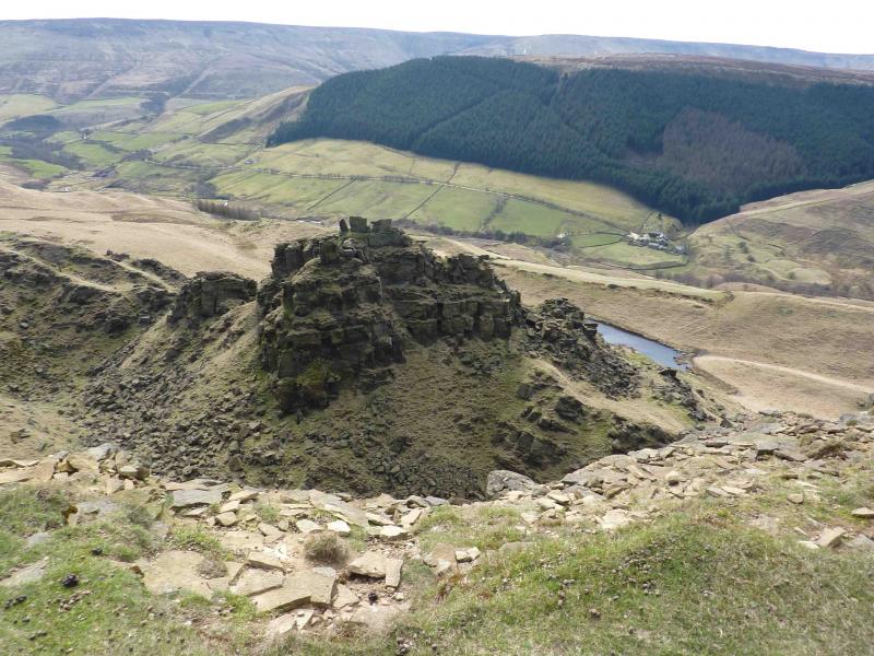
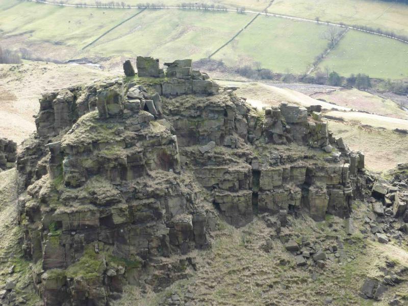
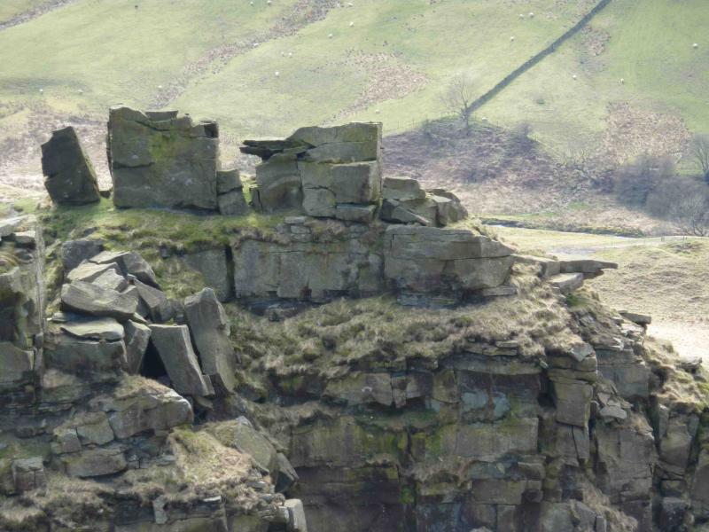
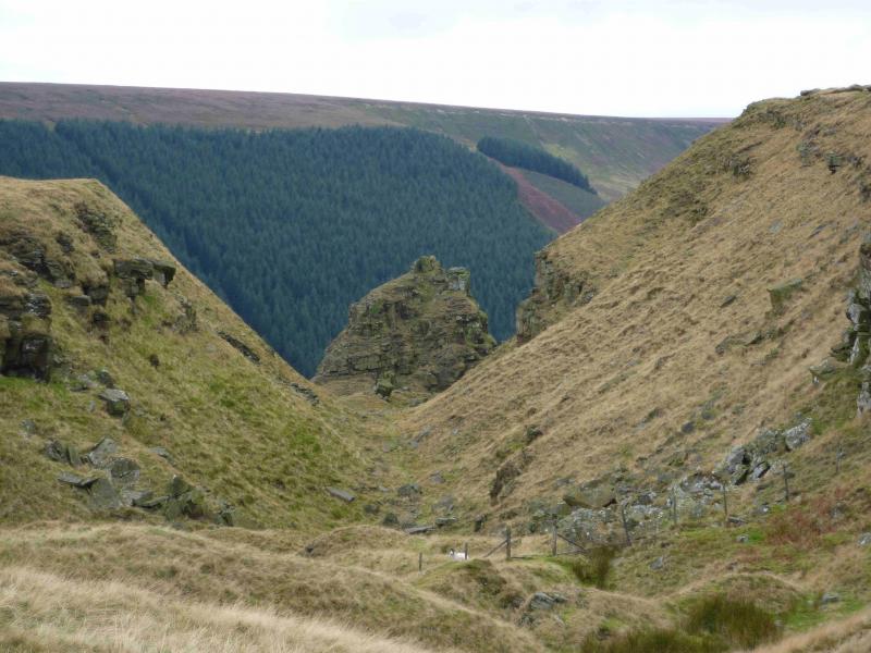
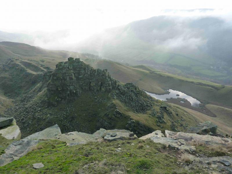
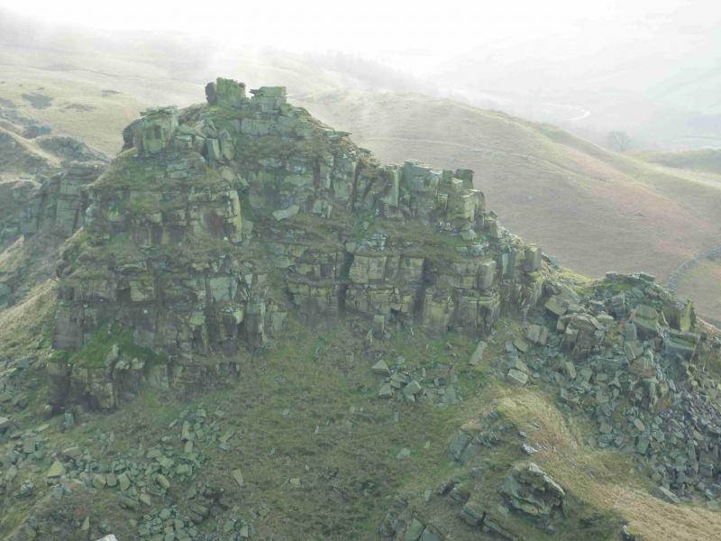
(1) From the bus stop at Fairholmes, cross the minor road and walk slightly back towards the A57. Within about 100 m, reach a waymarked path, signed for Lockerbrook and other places. The green arrows can be followed for Lockerbrook but it is wise to check with rangers first as these arrows can change. The path is easily followed up through a wood. It uses a track in places before leaving the wood and crossing short grass to join another track where one follows the green arrow left. This is a good, almost level, track and soon reaches Lockerbrook Farm where it becomes an even better track. From around here, there are good views towards Mam Tor and Kinder. Continue a short distance further until an obvious path goes off to the right and soon reaches a gate and stile at about SK 161 894, marked as an access point on the map. Beyond here, the obvious path goes roughly NW, ascending ever so gently. Look around to the left as a paved path appears after a while. After about 2 km, an old wall is crossed and the path runs alongside another wall on the edge of the ridge. Over the next kilometre, one is treated to the fine views of Alport Castles which were created by landslips over time. Continue until a wall comes in from the right, almost at the end of the Alport Castles cliffs.
(2) Turn right, NNE, and follow the path by the wall which soon becomes a track. Follow the track down and into a wood where it eventually joins another track. Turn right and soon reach the road. Turn right and follow the road back to the start passing the Howden and Derwent dams en route.
Notes
(a) This walk took place on numerous occasions!
Photos - Hover over photo for caption. Click on to enlarge. Click on again to reduce.