Get Lost Mountaineering
You are here: England » Peak District » Bleaklow, Alport, Derwent Edge & Howden Edge from Derwent Valley
Alport Ridge & Bleaklow Stones
Alport Ridge & Bleaklow Stones from Fairholmes Car Park, Derwent Dam
Start/Finish
Fairholmes car park just to the S of the Derwent Dam. This is about 2 miles up the minor road, from the A57 (Snake Pass), on the W side of the Ladybower Viaduct which crosses the northern arm of Ladybower Reservoir. In winter, this road is often untreated and it can be quite hazardous under snow and ice. The A57 is usually gritted but it does not take much wintry weather to close the Snake Pass at its highest point, beyond the Snake Inn.. It is expensive to park in this car park but there are good facilities, including toilets, snack bar, gift shop and ranger service. Free parking is available on the minor road, some within a few hundred metres of Fairholmes. On Sundays, the minor road is closed beyond Fairholmes but a regular bus service runs to the end of the road. Outwith Sundays, two cars could be used to avoid the road walking at the end of the day or a bicycle could be strategically placed.
Distance/Time
14 km (6 km extra if road walked at the end ) Approx 6 - 7 hours
Peaks
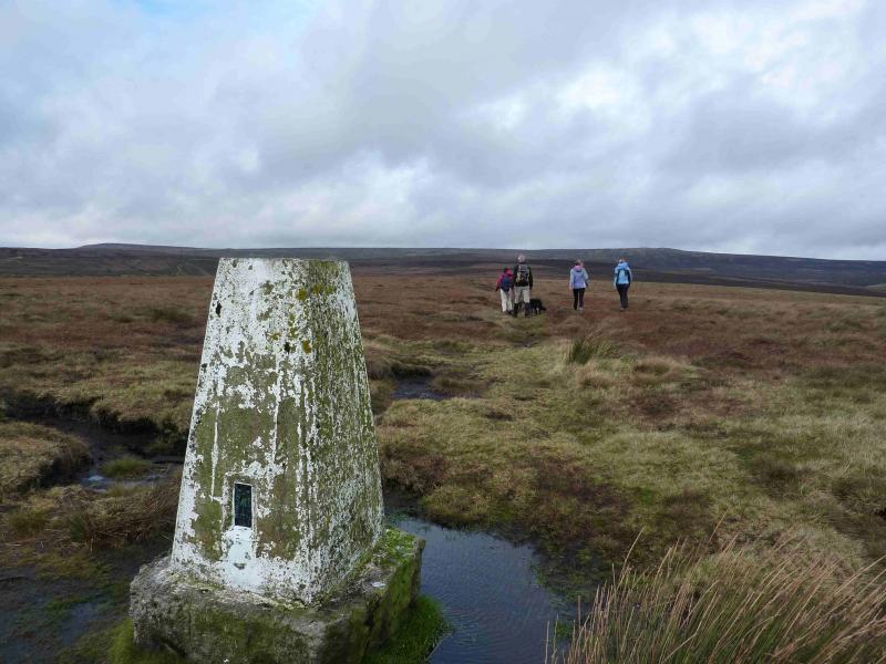
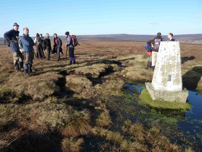
Westend Moor Trig Point, c500 m, SK 128 933.
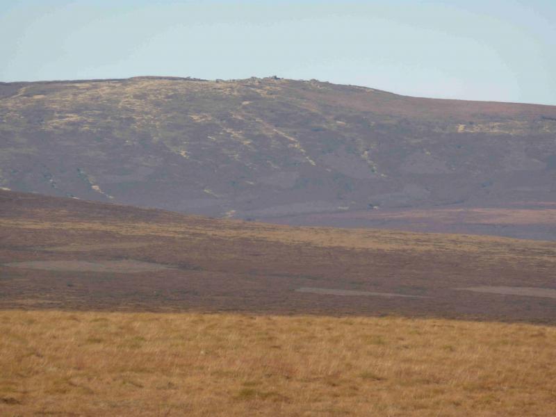
Bleaklow Stones, c620 m, SK 112 965.
Grinah Stones, c580 m, SK 130 961. OS Outdoor Leisure 1: Dark Peak
Introduction
This is a fine ridge walk in the Dark Peak which, in good weather has good views of the Mam Tor ridge, Kinder, passes by Alport Castles, visits Bleaklow Stones and Grinah Stones with good views N to Black Hill. Some of the going is boggy, even in a dry spell, and gaiters are recommended.
Route
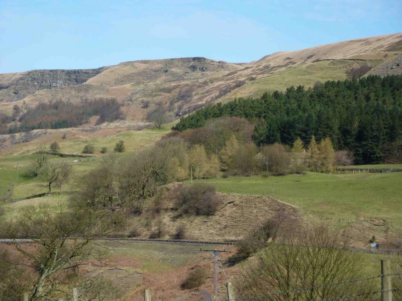
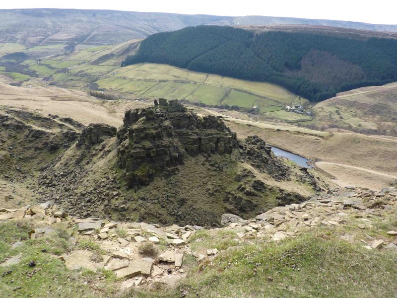
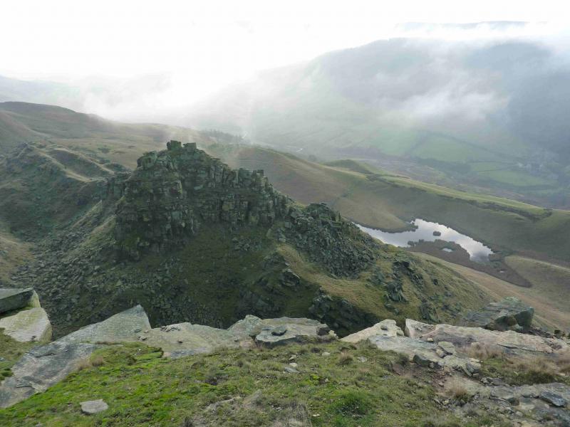
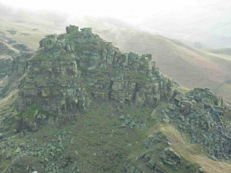
(1) From the bus stop at Fairholmes, cross the minor road and walk slightly back towards the A57. Within about 100 m, reach a waymarked path, signed for Lockerbrook and other places. The green arrows can be followed for Lockerbrook but it is wise to check with rangers first as these arrows can change. The path is easily followed up through a wood. It uses a track in places before leaving the wood and crossing short grass to join another track where one follows the green arrow left. This is a good, almost level, track and soon reaches Lockerbrook Farm where it becomes an even better track. From around here, there are good views towards Mam Tor and Kinder. Continue a short distance further until an obvious path goes off to the right and soon reaches a gate and stile at about SK 161 894, marked as an access point on the map. Beyond here, the obvious path goes roughly NW, ascending ever so gently. Look around to the left as a paved path appears after a while. After about 2 km, an old wall is crossed and the path runs alongside another wall on the edge of the ridge. Over the next kilometre, one is treated to the fine views of Alport Castles which were created by landslips over time. The path continues along the edge of the ridge and crosses two fords (shown on map). At the second ford, go N on a more boggy path which leads to the trig point on Westend Moor. From here, there are good views of the Bleaklow ridge.
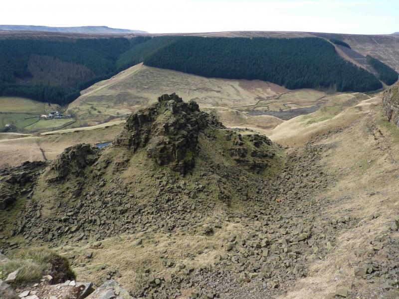
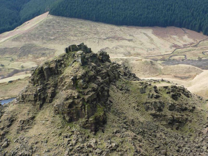
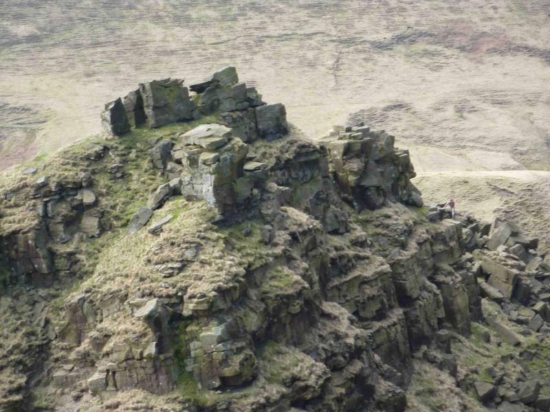
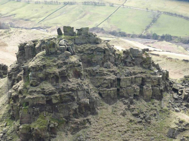
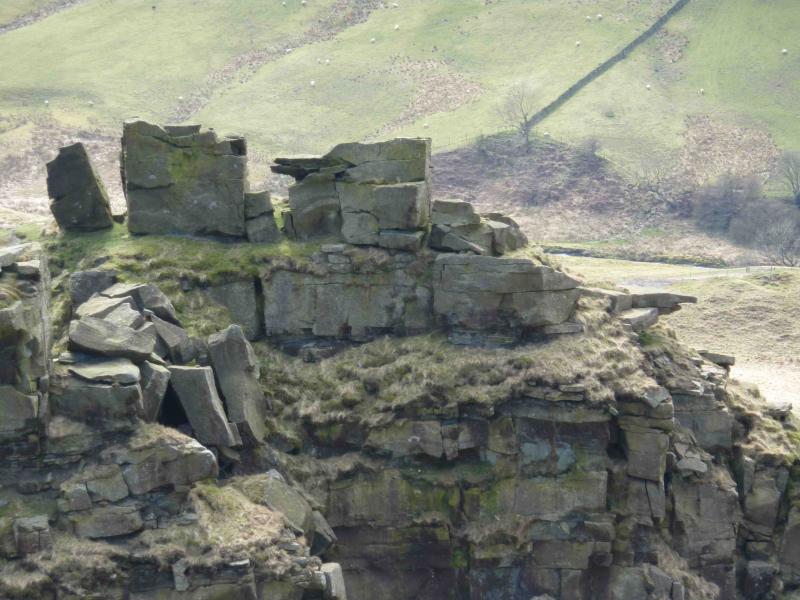
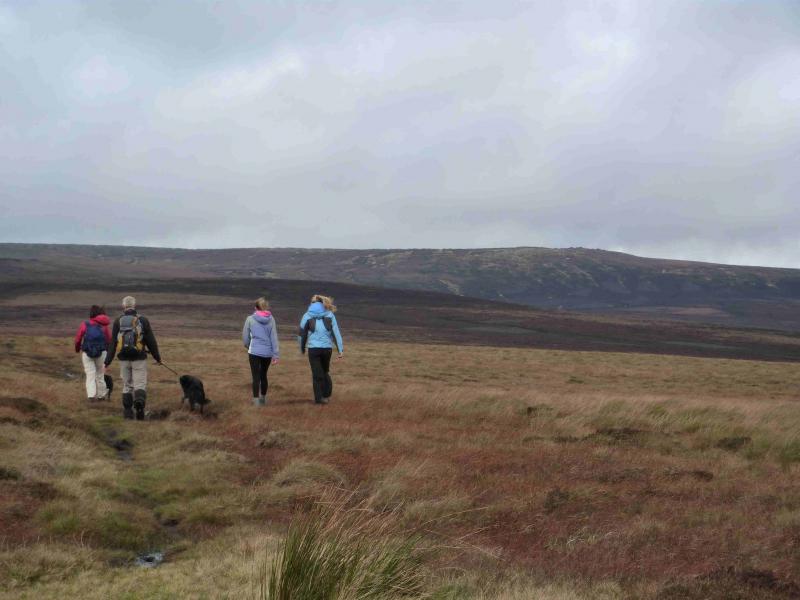
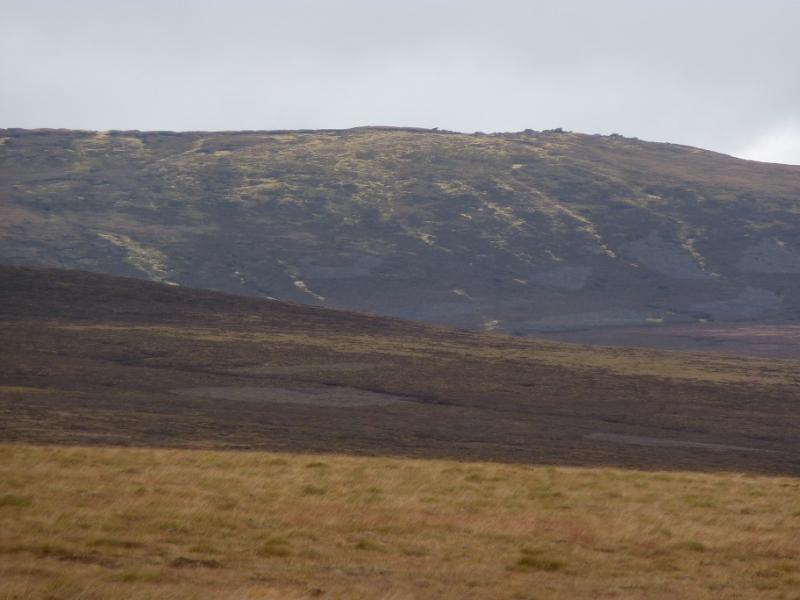
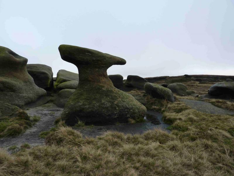
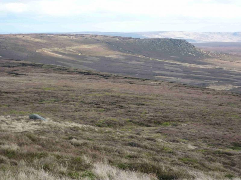
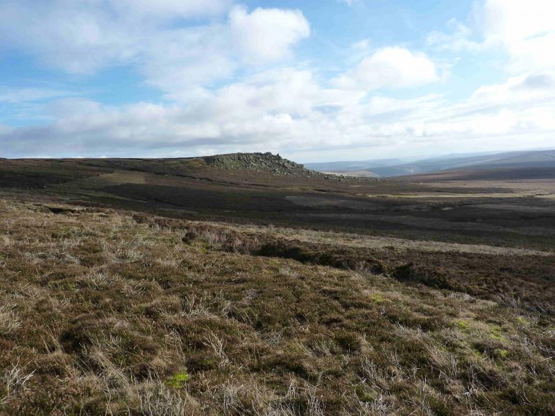
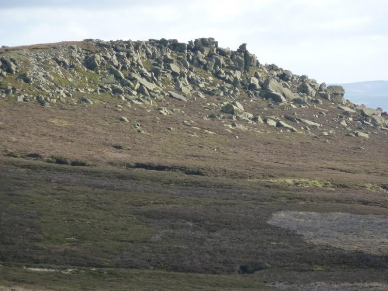
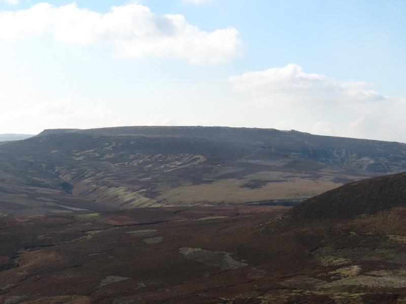
(2) Continue, descending roughly NNW, on more boggy ground with only hints of paths for about 700 m to the flattish hollow of Pt 499 at SK 124 938. Continue, ascending roughly NNW, for about 800 m the flattish top of Pt 535 at SK 119 945. Descend roughly W for about 500 m to reach a very broad col, c 500 m, at SK 115 945. There is more than a hint of a path on the N side of the Pt 535 mound which lead into the broad col. From the col, ascend, roughly N, for about 900 m, on to The Ridge which has a spot height at Pt 575, at SK 111 954. Continue ascending, still roughly N, for about 900 m to reach a cluster of large boulders and tors which is Bleaklow Stones, 620 m. Towards the northern end of these stones is a very distinctive one which resembles a blacksmith's anvil. There is plenty of shelter amongst the stones. Note that this section, from the trig point to Bleaklow Stones, is mainly pathless and none of the tops or hollows are marked by cairns. In thick weather, navigation is most difficult from the broad col to Bleaklow Stones.
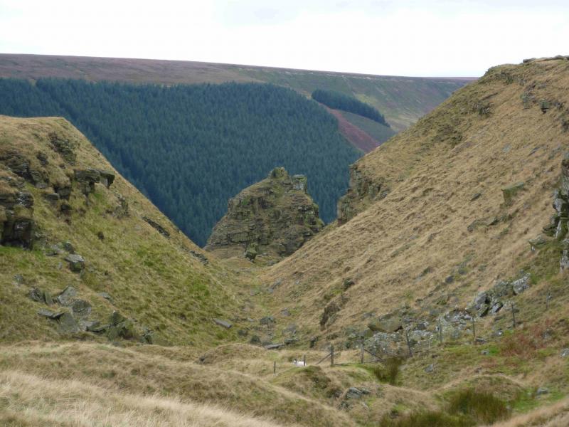
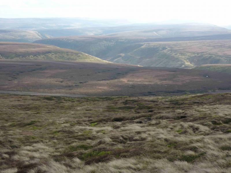
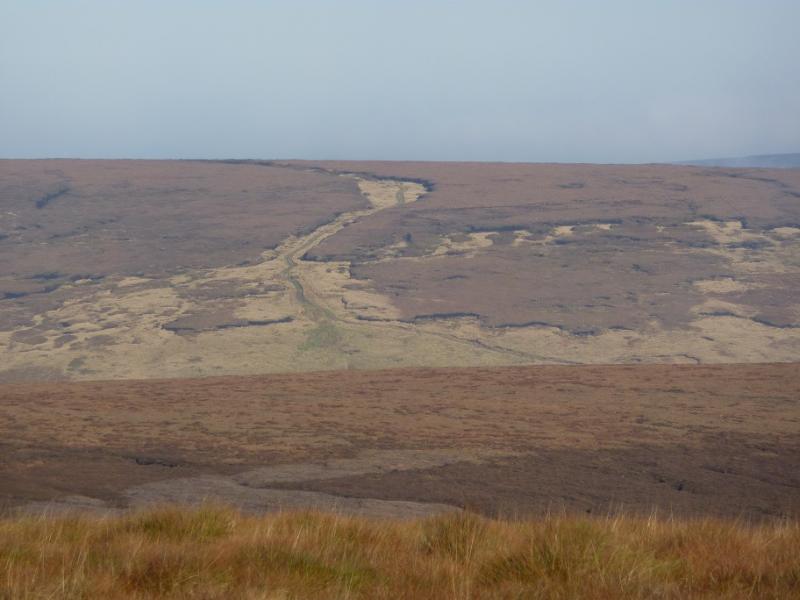
(3) Descend E to reach an obvious but boggy path which, in about 2 km, leads to Grinah Stones. In good weather, one should spot a track to the SE heading across Ridgewalk Moor. It is quite a rough heathery descent to reach this track and it is probably best to intercept at the obvious gate. Beyond the gate, the track ascends then flattens out and becomes quite wet and boggy. Follow the track until it meets a much better track (shown on the map) at about SK 140 965. Turn right on to the better track and follow it down for about 4 km until it reaches the minor road at the tip of the western inlet of the Howden Dam. From here, one can either walk back along the road or use the bus or bicycle options referred to earlier.
Notes
(a) This walk took place on 20th November, 2011 and many times previously.
(b) Those who just wish to visit Alport Castles can take the obvious descent path, along the wall, which goes roughly NE from the northermost viewpoint of Alport Castles. This path is clearly shown on the map and meets the minor road at the same point as the longer route. This shorter route is about 6 -7 km to the road and takes about 3 - 4 hours.
Photos - Hover over photo for caption. Click on to enlarge. Click on again to reduce.