Get Lost Mountaineering
You are here: England » Peak District » Buxton to Leek and Ashbourne
Butterton, Warslow & Manifold Valley
Butterton, Upper Elkstones, Warslow, Manifold Valley, Wetton Mill & Hoo Brook
from Butterton
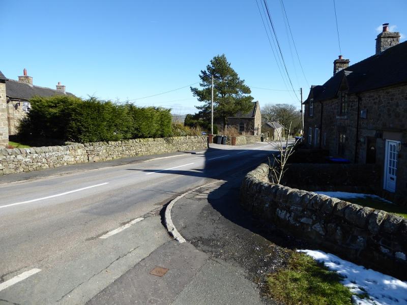
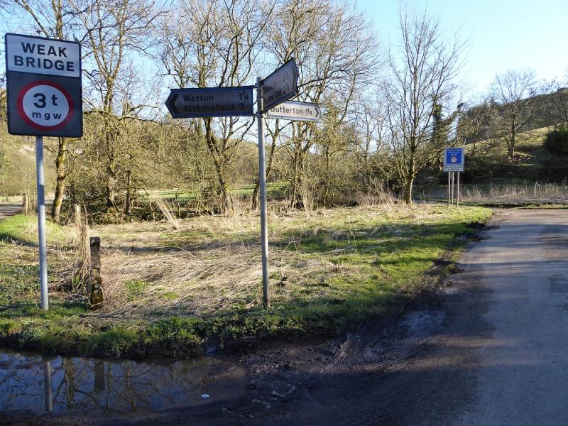
Park in Butterton Village as close to the Church as possible. Parking is very limited and there are no toilet facilities so use Hartington or Warslow en route. Butterton is reached by taking the road to Hartington which leaves the A515 road to Buxton about 12 miles north of Ashbourne. Follow the road through Hartington to Warslow then down and up a steep hollow before a left turning to Butterton. It is about 24 miles from Ashbourne. If using the Via Gellia from Cromford, drive to meet the A515 at Newhaven. Turn north. The Hartington road is about a mile up the A515.
Distance/Time
13 km About 5 - 6 hours
Peaks
None. OS Outdoor Leisure 24: White Peak
Introduction
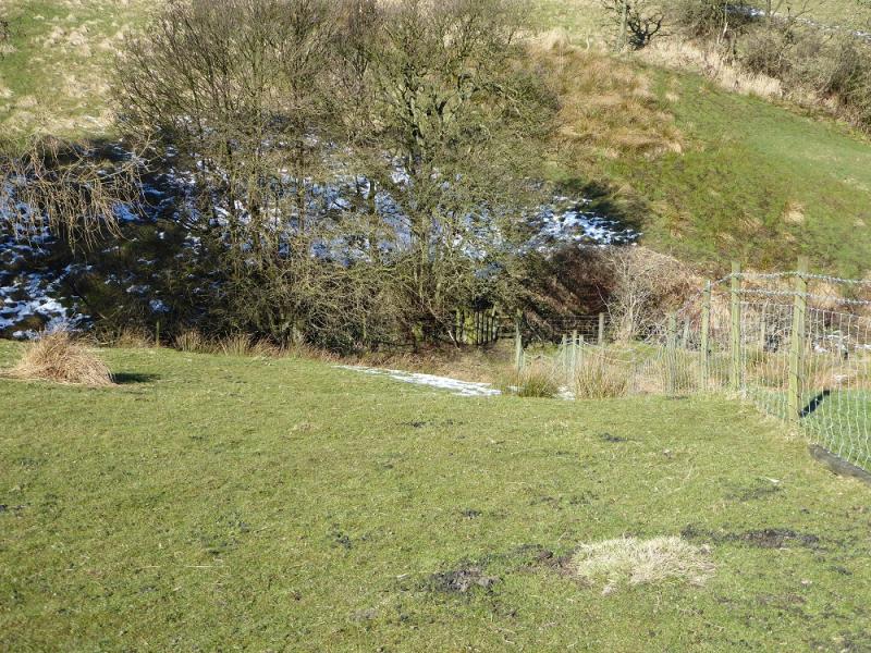
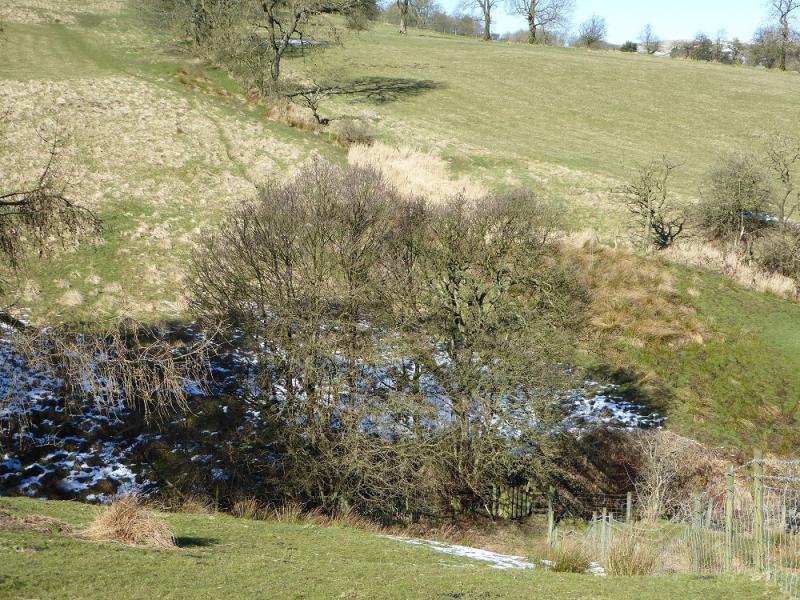
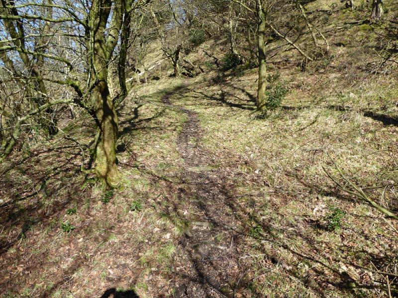
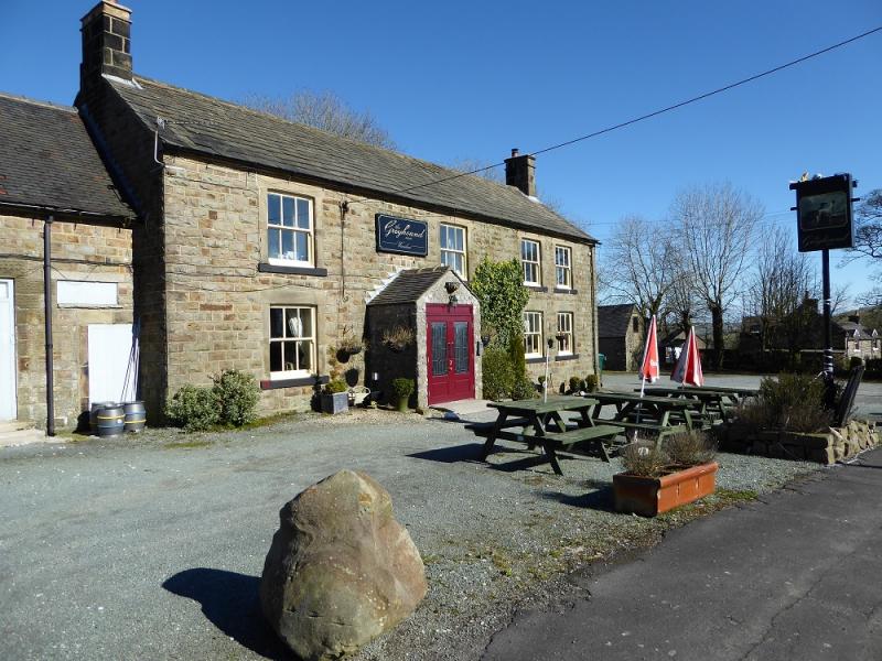
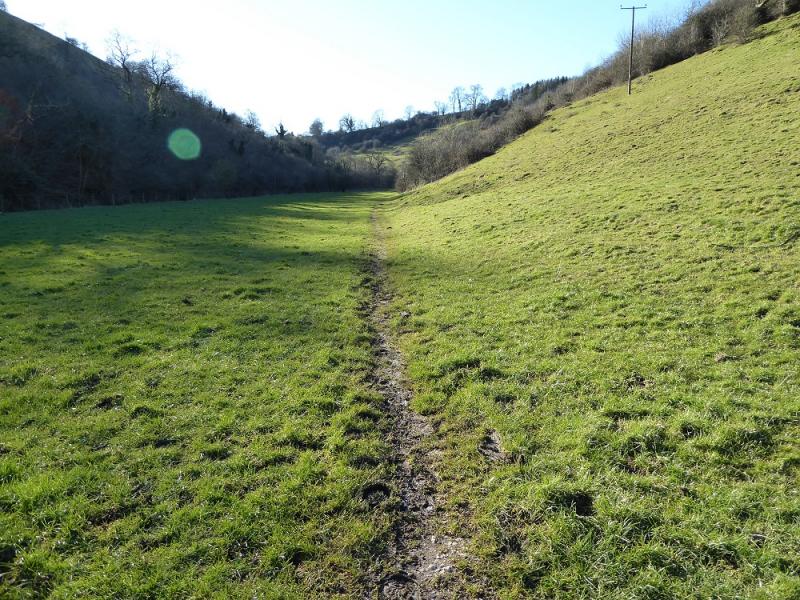
This is a nice walk in good weather in a dry spell but otherwise good boots and gaiters are needed. Poles will help as well as there can be some steep and slippery clay. The route takes us to Hill Farm, Hole, Ryecroft, Mount Pleasant Farm then Upper Elkstones. There is some up and down, mainly due to crossing small valleys. From Upper Elkstones, we descend into a wooded valley, climbing out, steeply, on the other side to reach rough pasture land which is followed, mainly on tracks, towards Cowhay then past the abandoned Moorside Farm before taking an almost direct line to Warslow where there are public toilets. We drop down to the Manifold Valley, cross the river, then follow the trail on the east side of the river to Wetton Mill where there is a cafe (not always open). Crossing back over the river, we follow the north bank of Hoo Brook where the slippery and sticky clay is at its worst for some distance, however, the ascent is not steep. We exit Hoo Brook at the bottom of Butterton village with a short, but steep, road walk back to the start. There is a lovely pub in Butterton at the end serving good food at very reasonable prices. The navigation on this walk can be very taxing; it is one of the most complicated in the area. If you can navigate here, you can probably navigate anywhere! The mixture of demanding navigation and rough boggy ground may encourage some people to see this as the walk from Hell!!!
Route
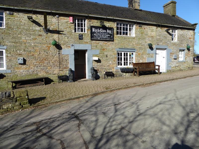
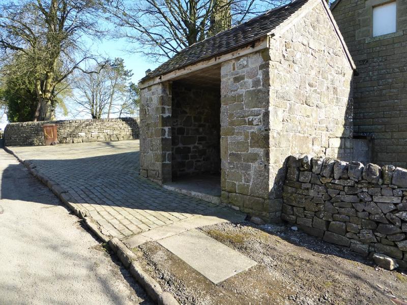
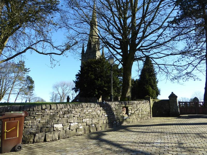
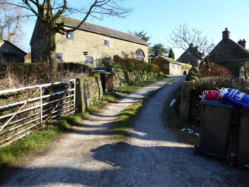
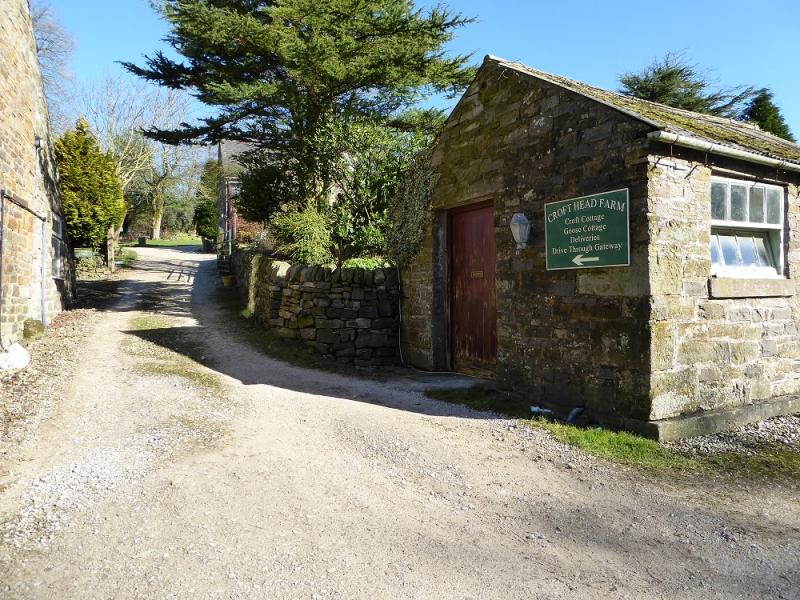
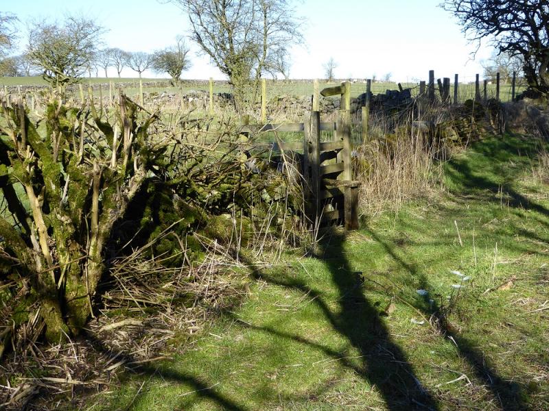
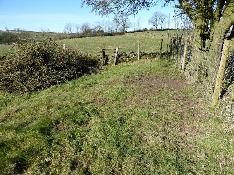
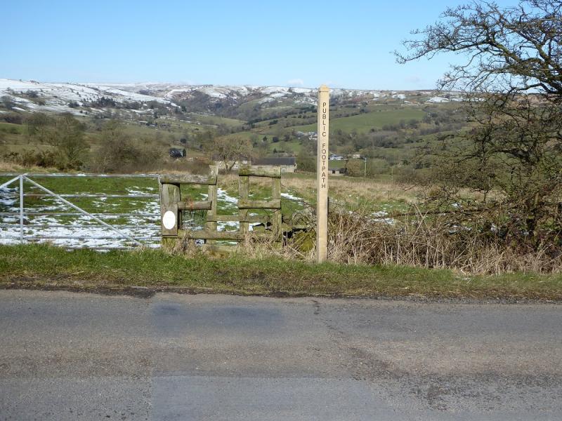
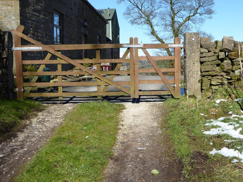
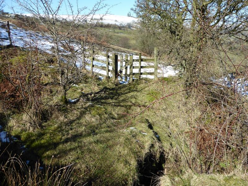
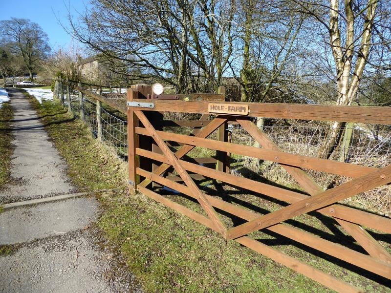
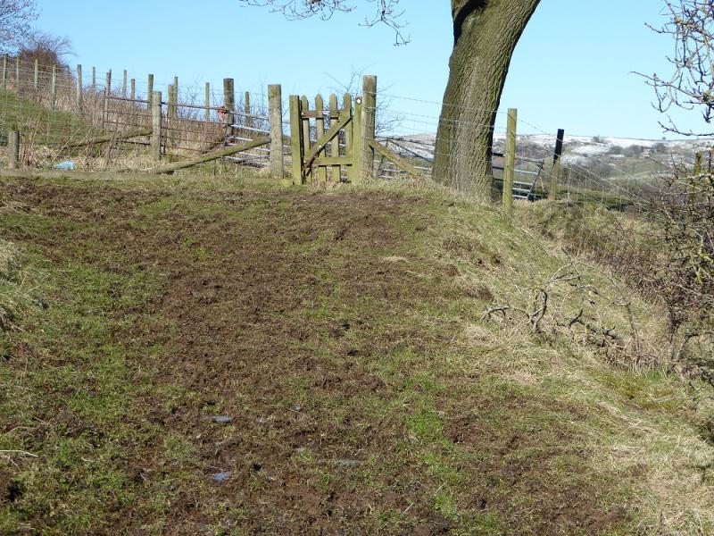
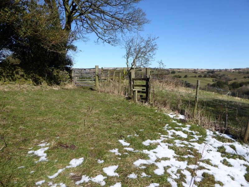
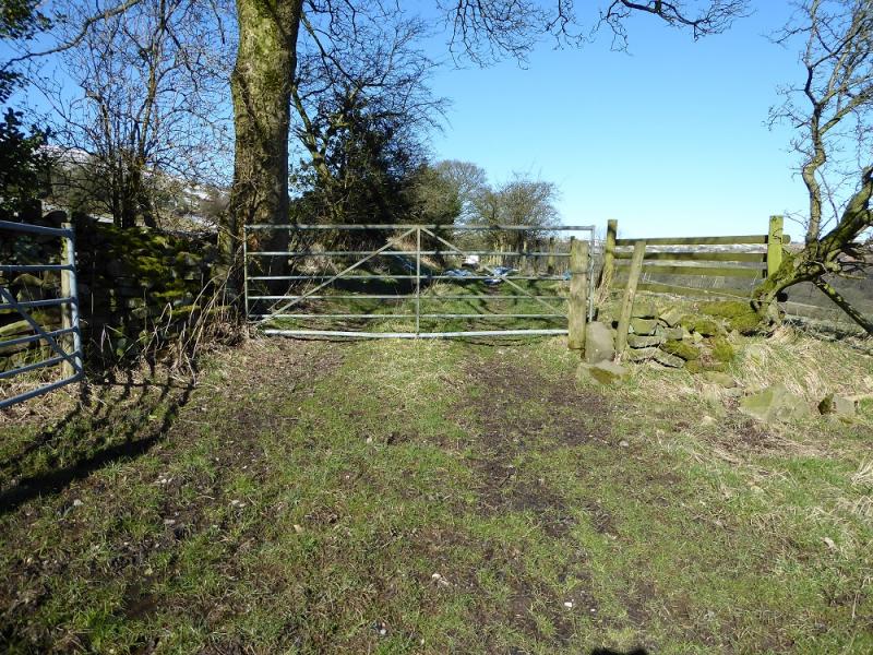
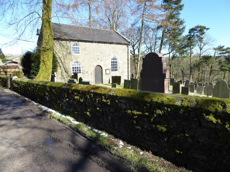
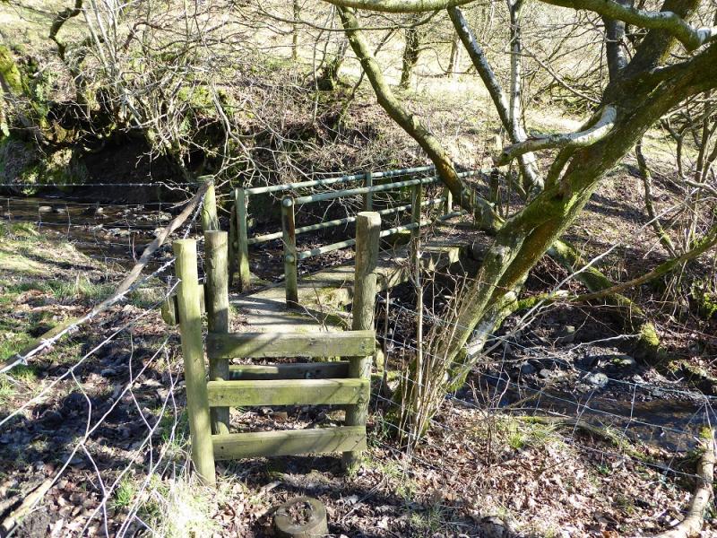
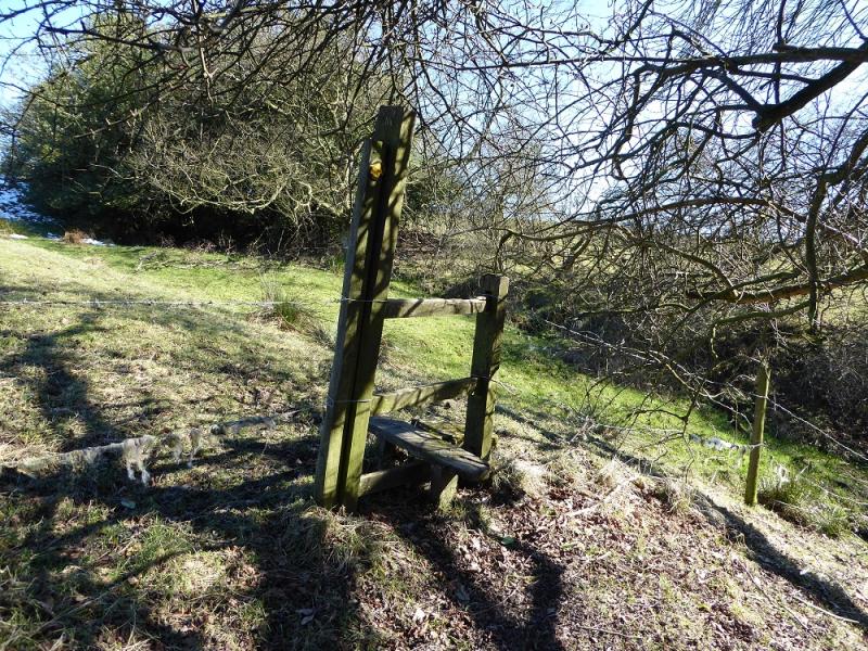
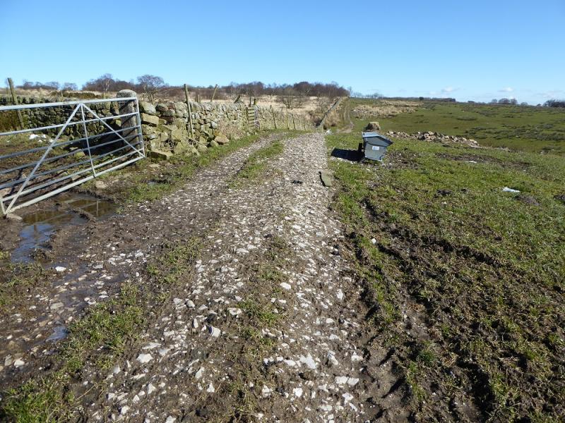
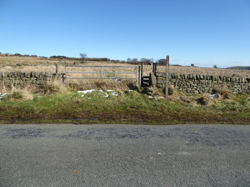
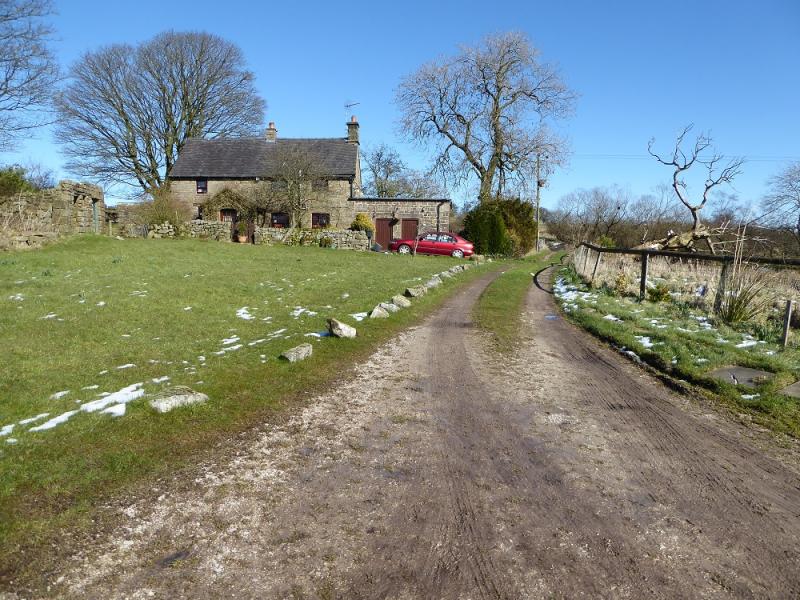
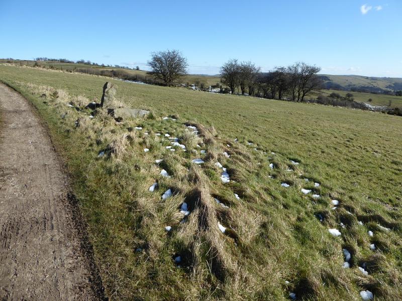
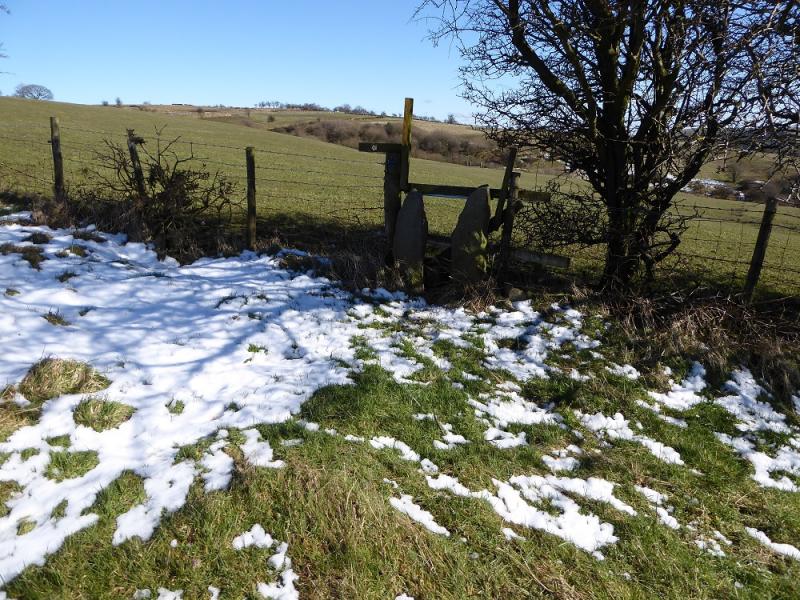
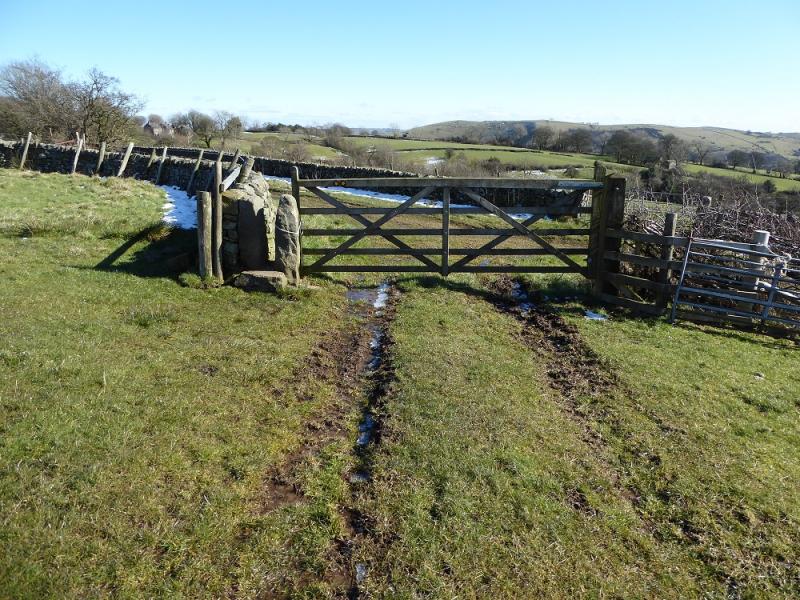
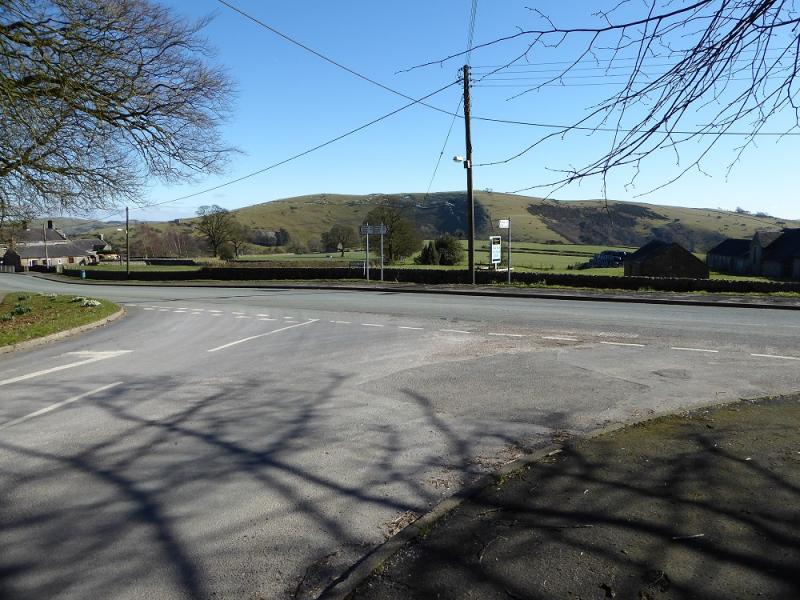
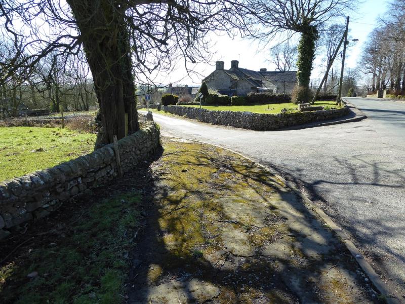
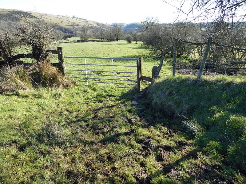
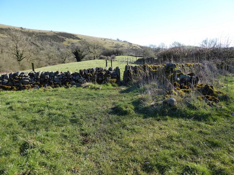
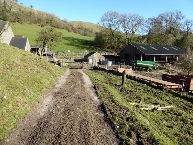
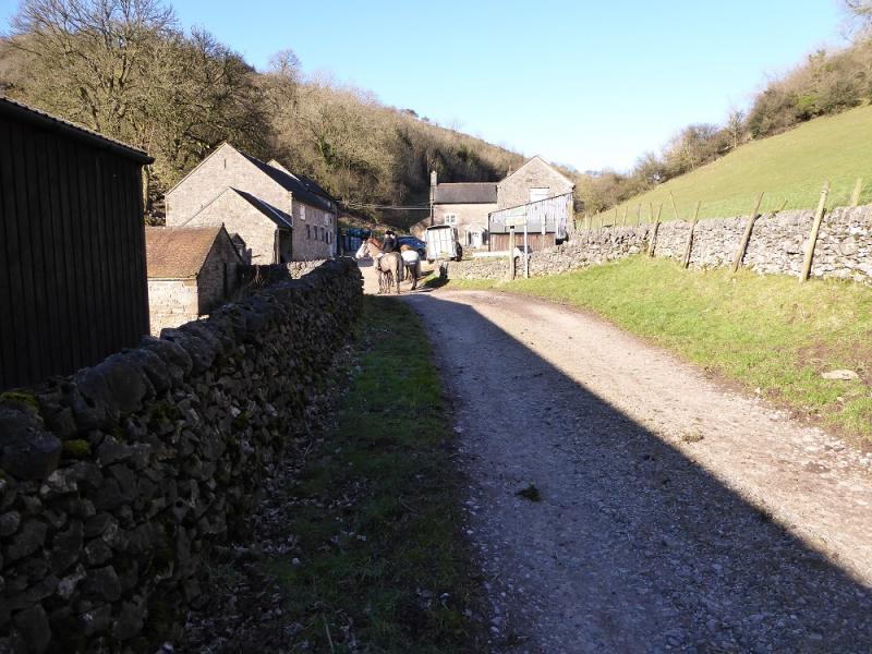
(1) Starting on the road between the pub and the church where there is a stone bus shelter, walk up the road (church on right) to the T junction. Turn left on the road which is signed for Warslow. Go past the entrance to a large “yard” where there is a butchers set well back. Not far past here, and before the post office, take the drive which cuts back on the right to some obvious holiday cottages. Go left off this drive, between the holiday cottages (for Croft Head farm) to pick up a rough grassy path track heading roughly N just to the right of a fence. Further on, this path can be badly overgrown with brambles although it was clear on 7/3/16. After about 200 m, the path goes left, W, crosses the fence being followed and another fence before emerging on the road called Dog Lane. If one wishes to avoid possible brambles, then stay on the road, going past the post office to reach the bottom of Dog Lane. Walk up the lane to reach where the above path emerges. From here, walk about 100 m to just past the crest of Dog Lane then take the signposted, but faint, path (by a large gate) on the left which heads NW, crossing some stiles to reach another road. Go straight across here, descending and keeping to the left of a wall, to reach a footbridge that then leads up to Hill Farm. Ignore left and right paths and go through the farm, via its large new gate, as indicated by a not very obvious sign then take a path/track on the right, still going ahead, which descends with a dog leg across a stream. When the path gets faint, contour, until a small gate is reached. Continue. Pass through another gate then over a kind of bridge before joining a tarmac track. Turn left and follow the track to the gate at Hole Farm. The path, goes through a small gate to the right of the main gate and passes the farm on the right. Reach a small gate into a rough field then reach a similar gate across the field. Go through the rough iron gate just after and walk along the left hand side of a barbed wire fence until it drops down and crosses a footbridge. The path then goes to the right of Ryecroft Farm. Look for the large gates on the far side of the farm where there is also a small gate at the start of a barbed wire fence and another not very obvious sign. Do not use the obvious track from Ryecroft. Follow the barbed wire fence into a hollow and cross the footbridge and follow a semi-obvious path keeping the fence on the right. Further along is a gate with an arrow on it which leads to a rough grassy track which soon joins a stony/concrete track and leads past Mount Pleasant Farm and a chapel to emerge on the road in Upper Elkstones. There used to be a telephone box here but not on 7/3/16. There is a fine tall house opposite with a post box in its wall.
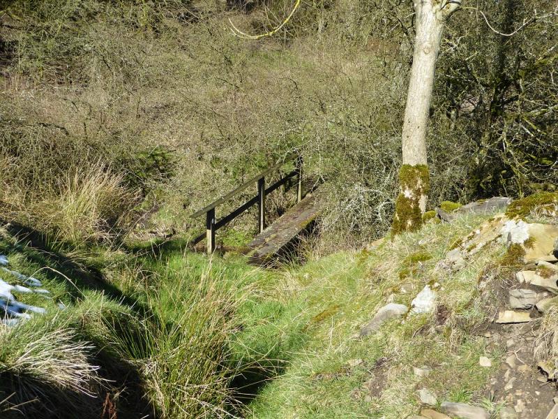
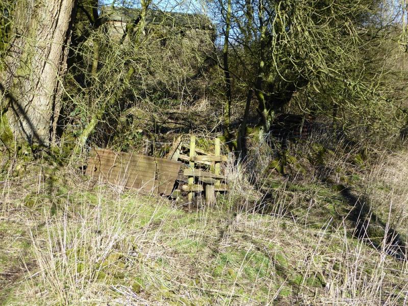
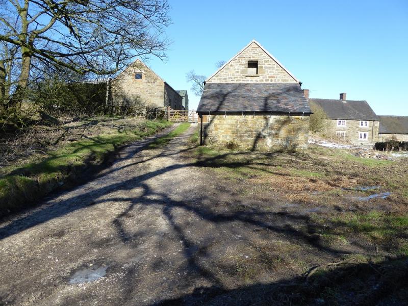
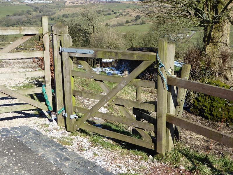
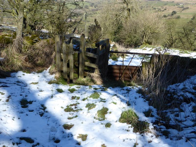
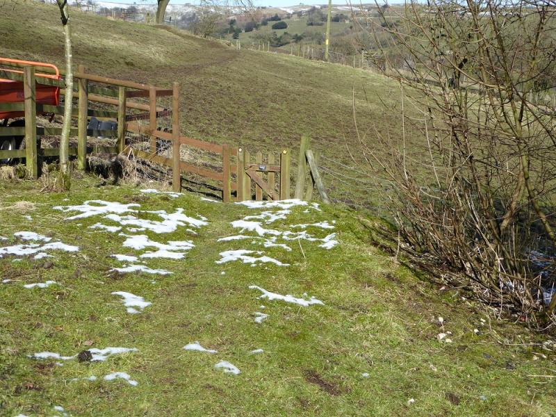
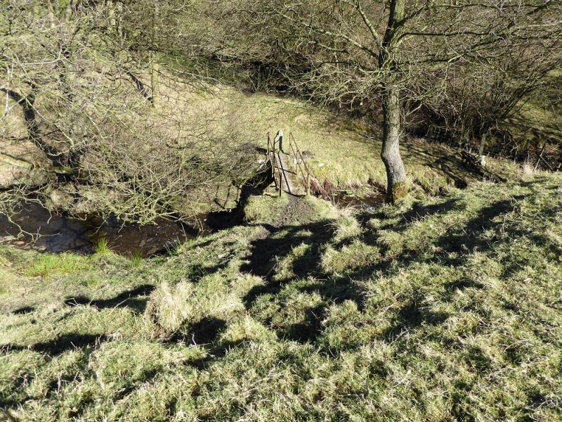
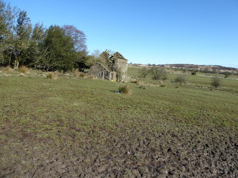
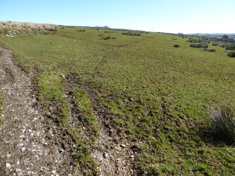
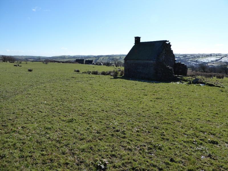
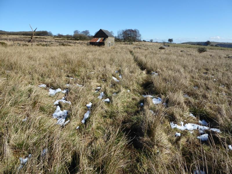
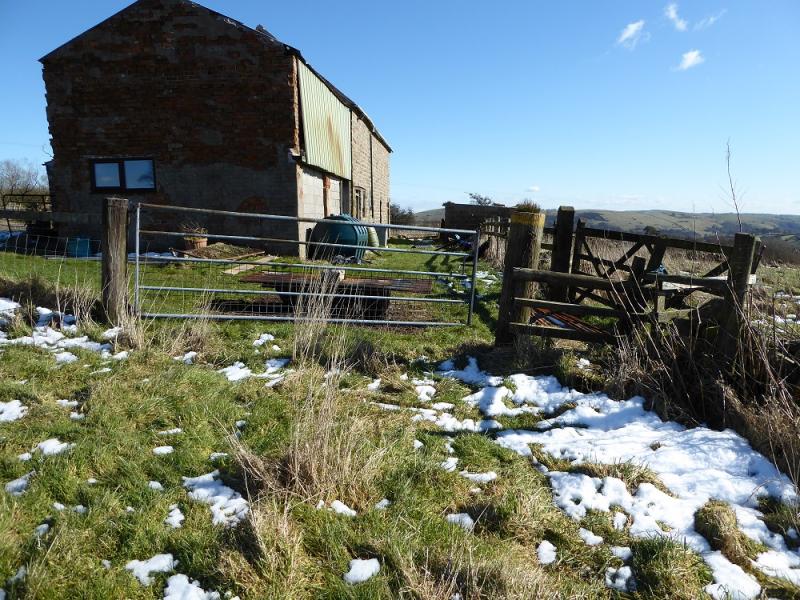
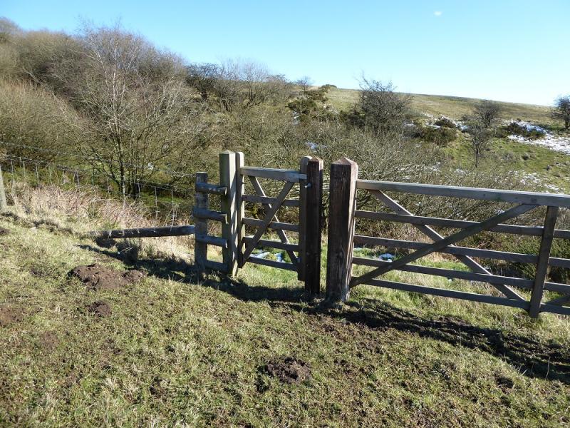
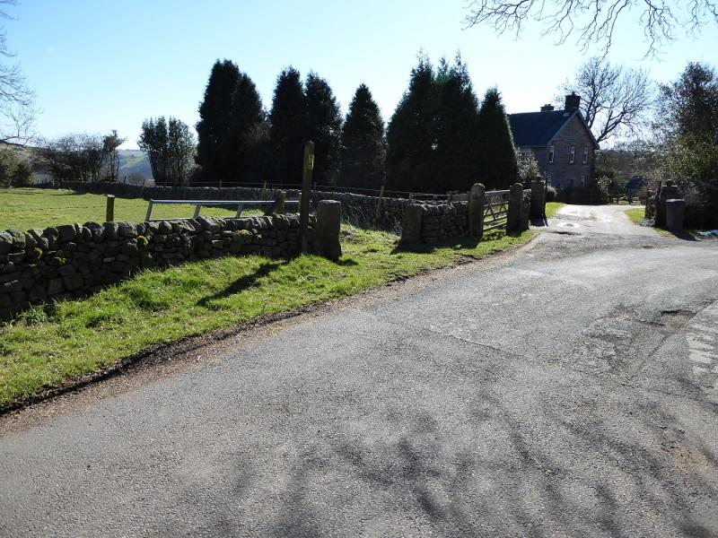
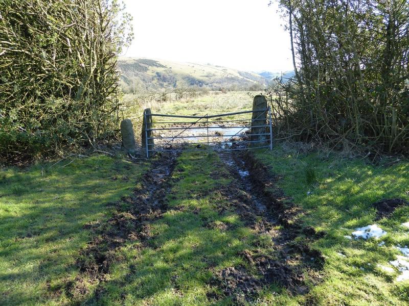
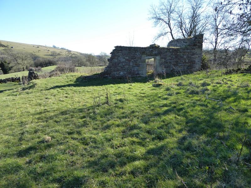
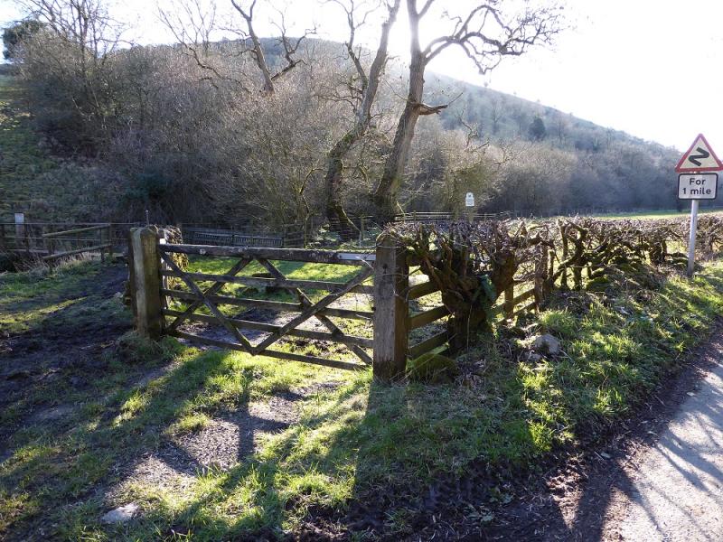
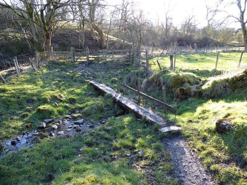
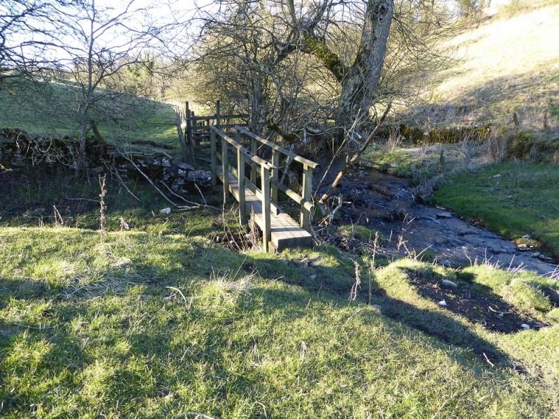
(2) Follow the road for about 20m, past the first house with its post box and take the path on the right between the houses. Follow this into an open field and descend drifting slightly left to cross a footbridge then another footbridge on the right. Turn left and follow a fairly obvious path which ascends, steeply and slippery in places, up through the wood, heading E, to emerge at a broken stile into an open field with a tree hedge on the right. Walk up, to the left of the hedge to reach a large gap in the hedge and go through the second gate on the right to pick up a rough track on the other side. Follow the track, noticing an old ruin off to the left, and descend into a boggy hollow. Climb out then leave the track and aim for the gate in the top left corner of the field to pick up a track heading roughly NE. Follow this track towards, on 7/3/16, an old caravan. After about 400 m, just beyond a wall corner on the left which may not be obvious, a grassy path goes off right, SE, heading towards the isolated barn at Moorside. Follow the path which passes to the left of the barn until an obvious gate is spotted on to the road. Cross the road and take the rough, and often wet, path which leads to the abandoned Moorside Farm. Go through the farm and follow the obvious track. When the track curves left, N, fork off right, soon crossing a stile. Continue to reach a gate before descending to the stream which is crossed by a not very obvious long footbridge; take care in the gorse! Ascend the bank after the bridge then contour SE to find a not very obvious path which leads to a gate on to a green lane on a bend. Turn left, ESE, and follow the green lane to the road then to the T junction in Warslow.
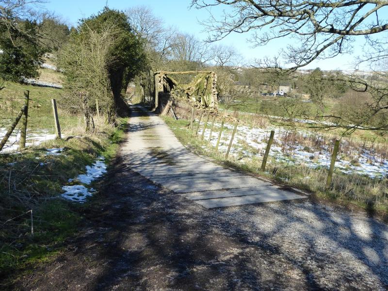
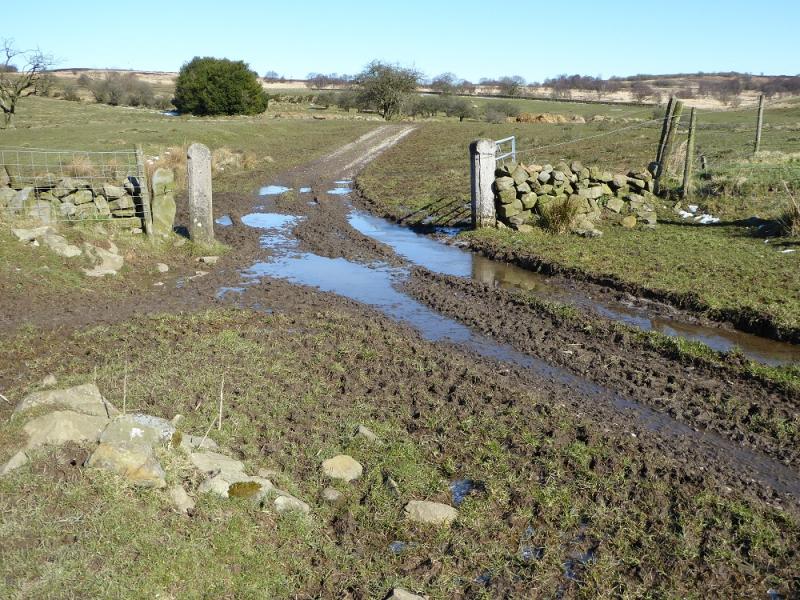
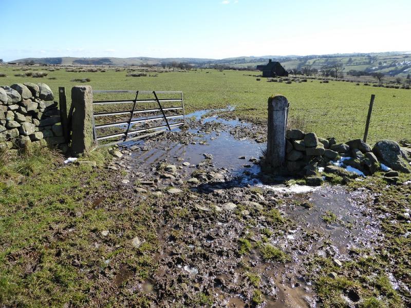
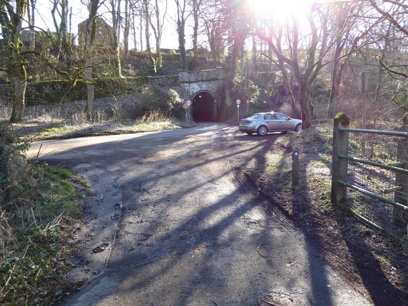
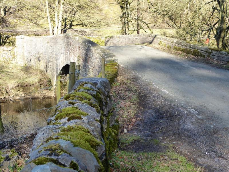
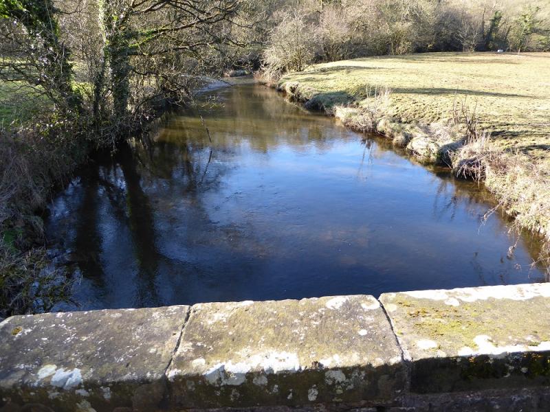
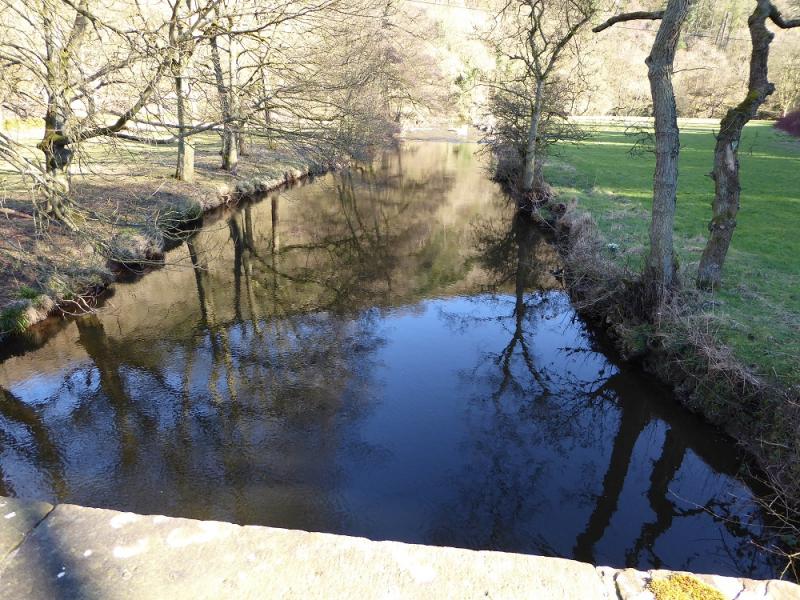
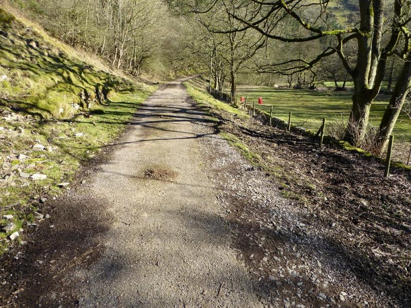
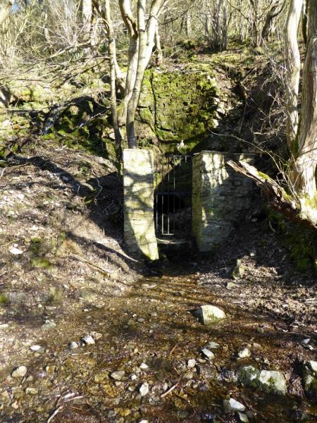
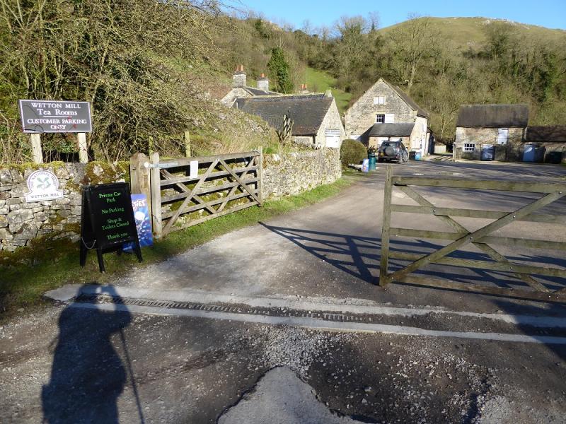
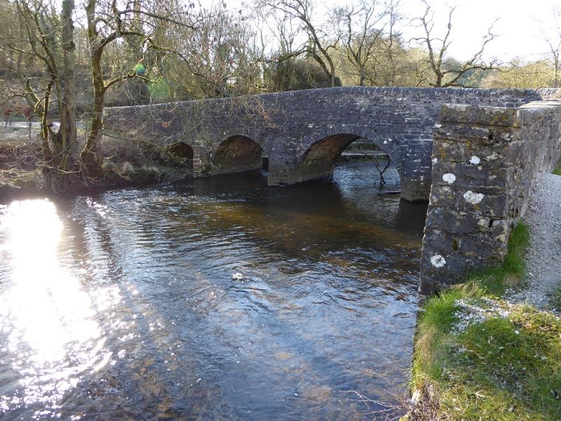
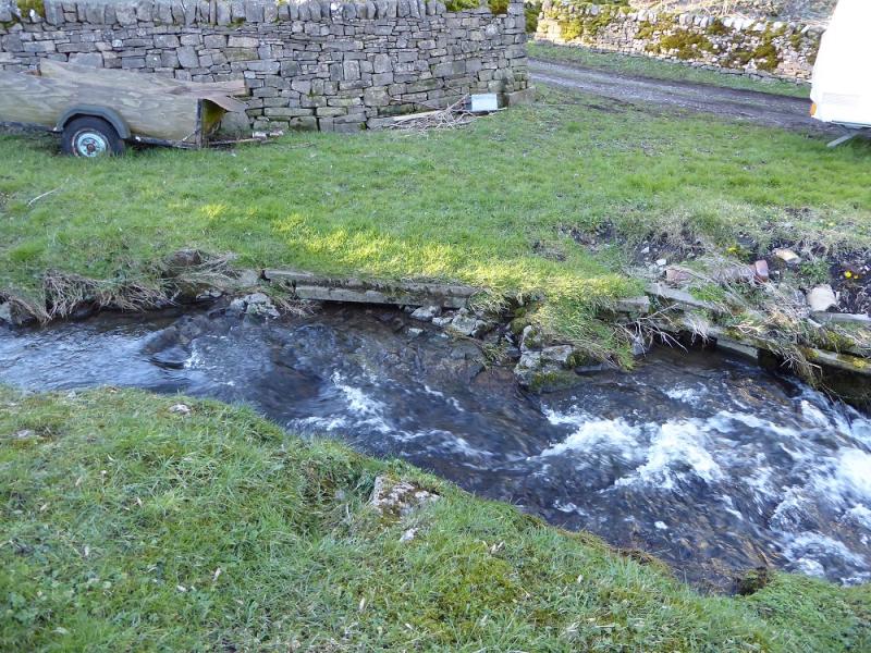
(3) Turn right on the road then take the first left fork. If toilets are needed, go past the fork for about 100 m. return to the fork after. Walk down the left fork road for about 100 m then take the signed path (on 7/3/16, the sign was missing, just the post remained; it starts just before a house) which descends SSE to the Manifold Valley. The path is not as obvious as it used to be owing to some drainage works so walk straight down. Lower down, the path passes to the left of an old ruin and, further down, there is a stream on its left. The path emerges on a tarmac track. Turn right and, after crossing a bridge, soon reach the road where a tunnel is opposite. Turn left on to the road and soon reach a Y junction. Go N, down the tail of the Y. Pass an entrance on the right then cross a bridge over the River Manifold. About 50 m further, a good track goes off to the right. This is the Manifold Trail. On 7/3/16, there were no signs to indicate this! Follow the track, with the river on your right, S for just over 2 km to reach Dale Farm then Wetton Mill where there is a cafe. This is usually closed in the winter, especially mid-week.
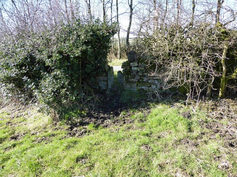
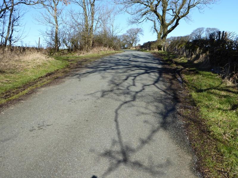
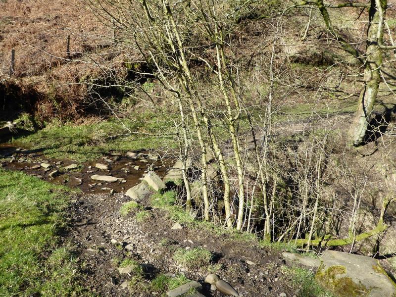
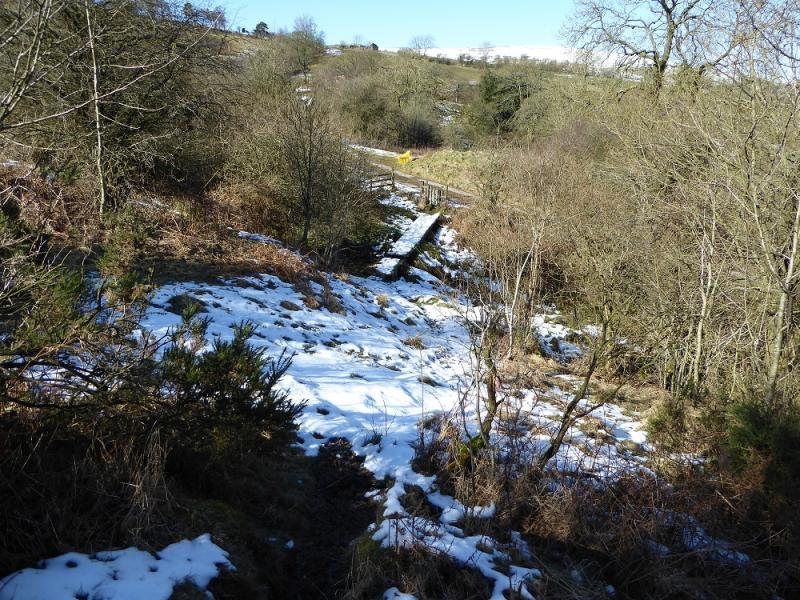
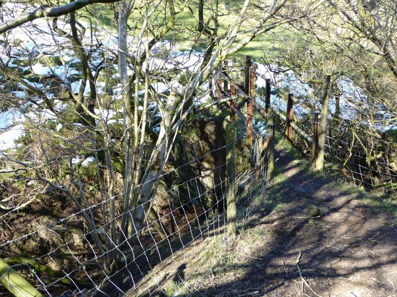
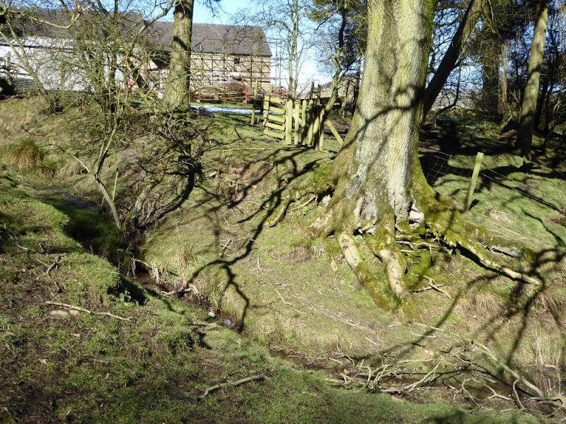
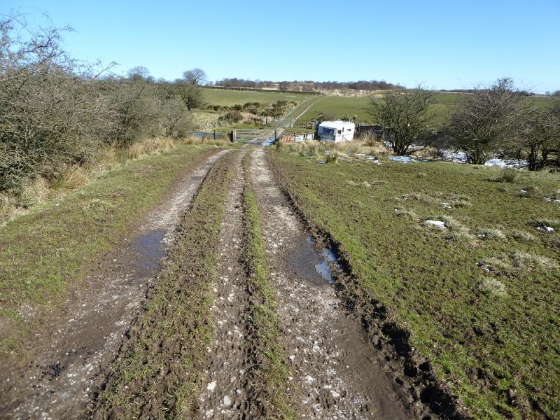
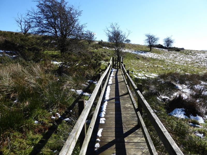
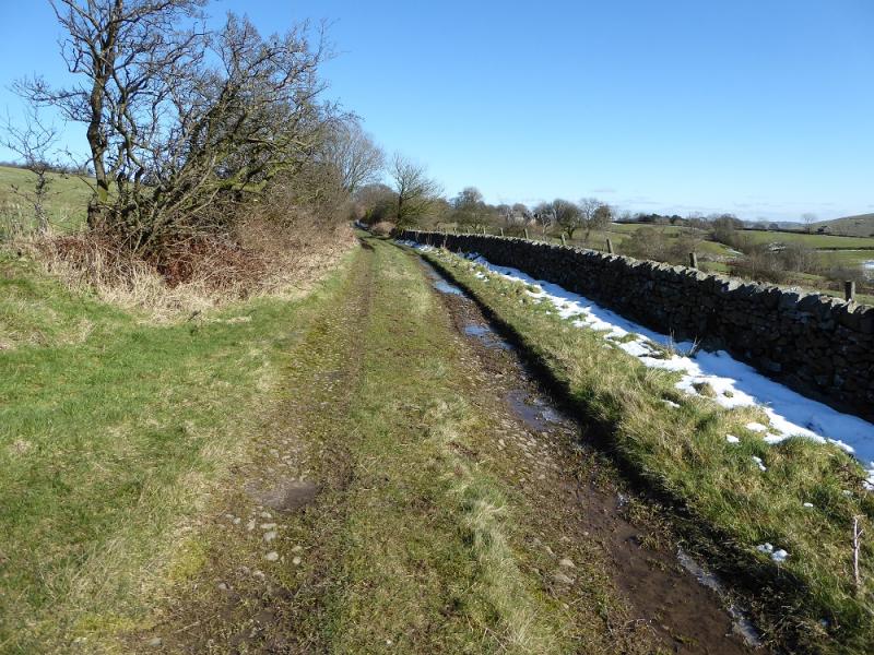
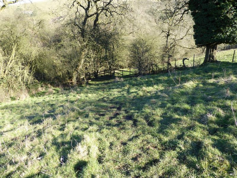
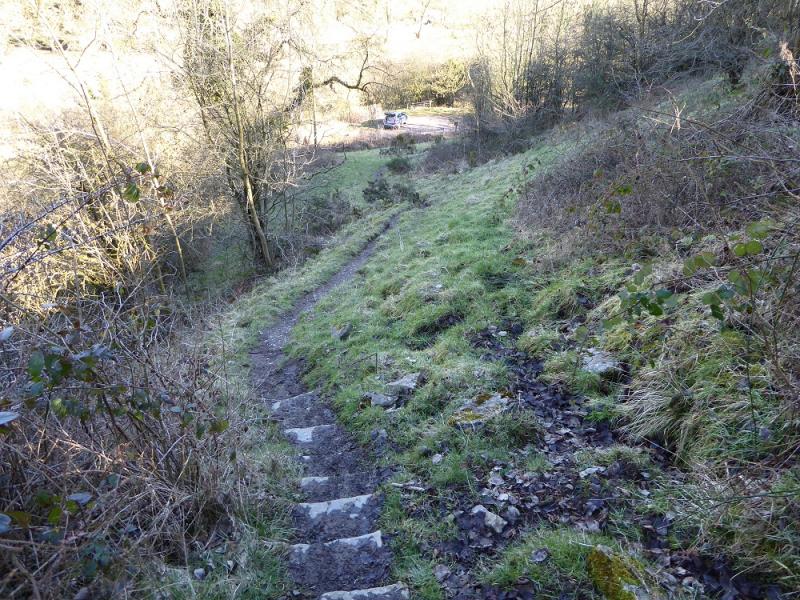
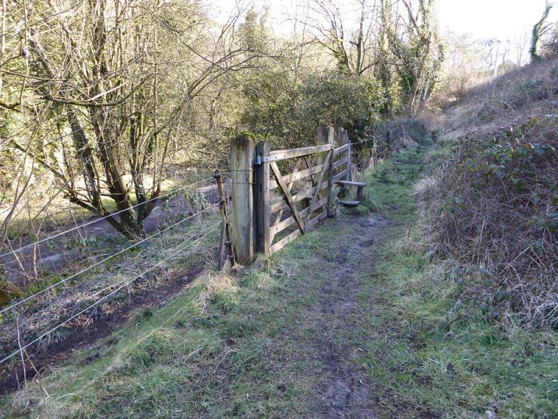
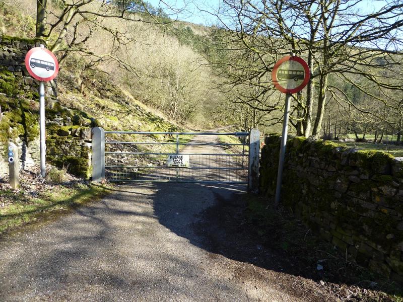
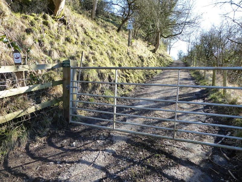
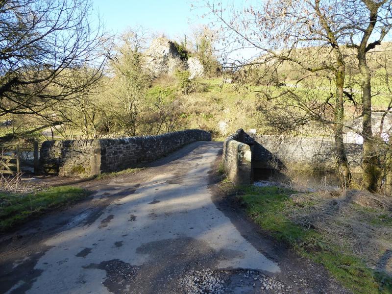
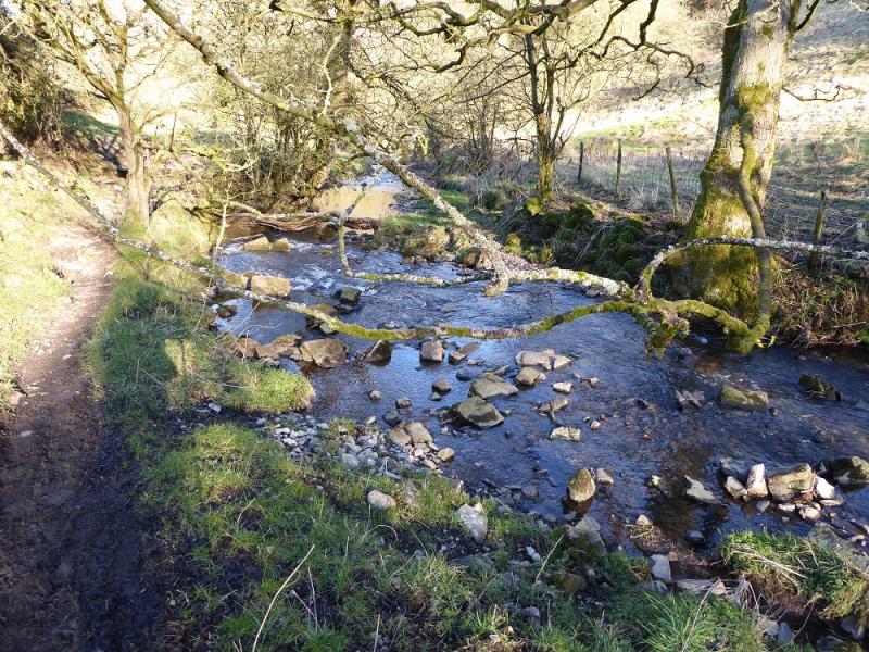
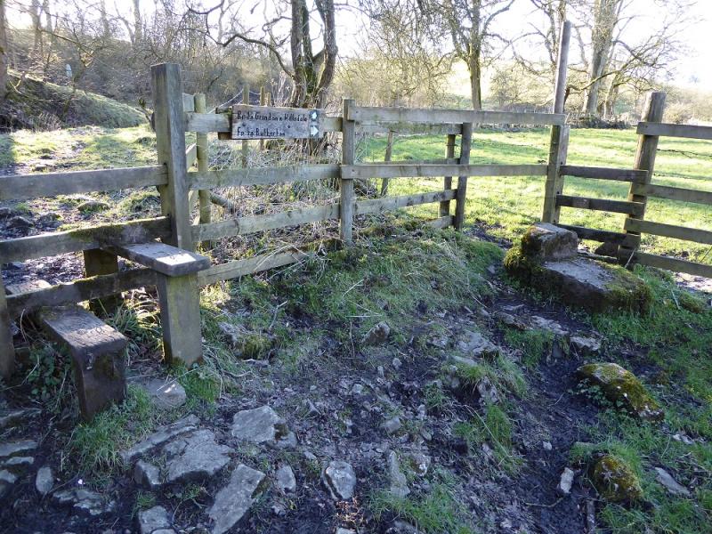
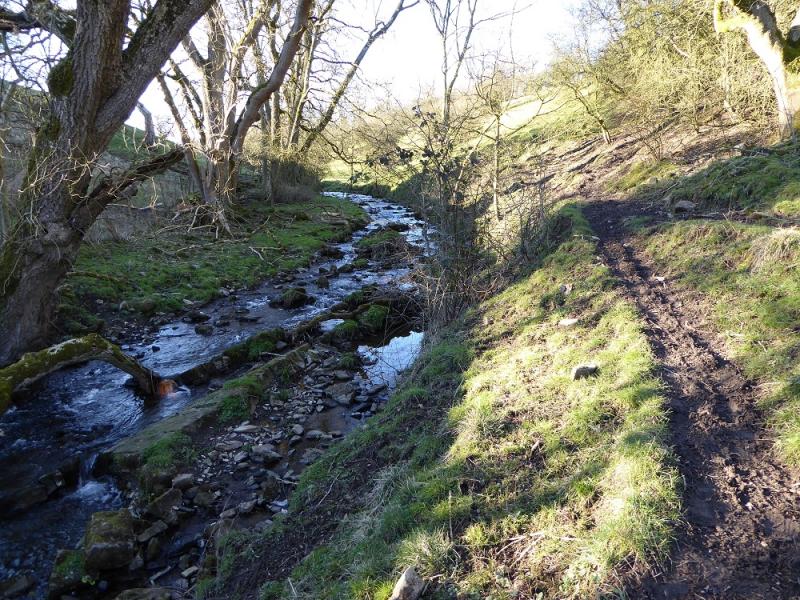
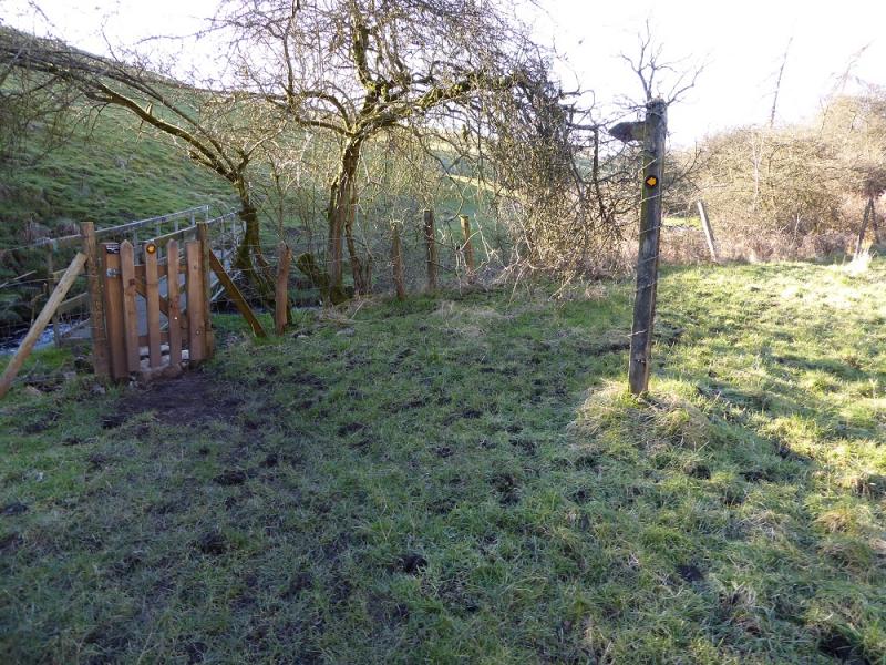
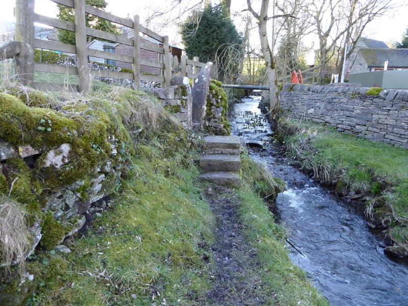
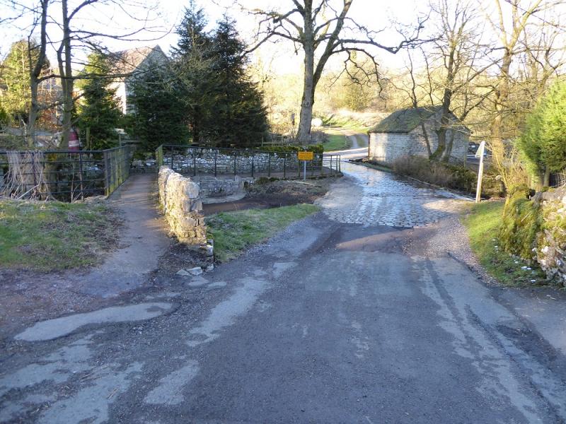
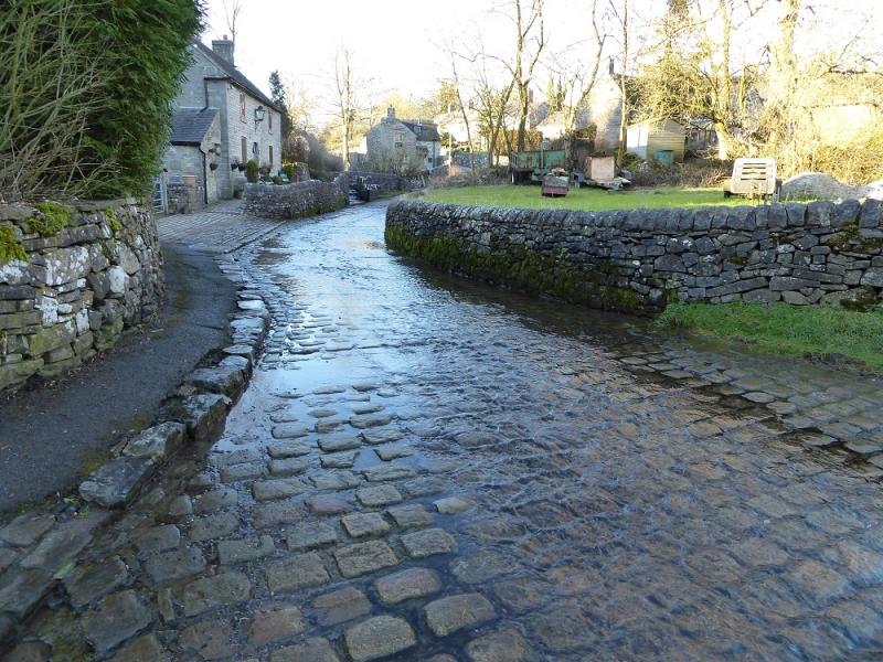
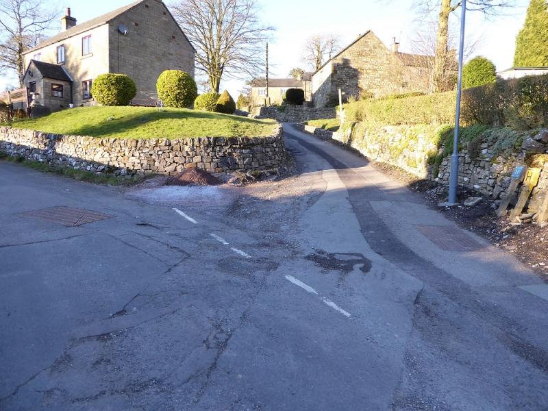
(4) Cross the river and follow the road W towards Butterton but, as soon as the road the road begins to climb, leave it and take the signed path (National Trust) on the E side of Hoo Brook. This path is almost due W initially and follows the stream upwards. The gradient is gentle but the going can be very boggy with glutinous clay. After about 500 m, the path turns S. After another 500m , it reaches a junction of several paths where there are signs. Take the path, signed for Butterton, alongside Hoo Brook, roughly, NW, for about 1.5 km until it reaches the first houses at the bottom of Butterton. The path goes closer to the stream here for a short distance before another stile takes one uphill through a field to the road. Turn right on to the road and descend to a shallow ford with a bridge if needed. Continue on the road then bear left up a road shared with stream for about 40 m. (An alternative is to cross the stream when the path gets close then follow the track up to the road/stream.) Follow the road up, steeply in places. Higher up take a right fork which soon leads to the church.
Notes
(a) This walk took place on 25th and 28th October, 2012, as well as on 7th March, 2016.
(b) To omit the boggy end to this walk, one can walk up the Butterton road, signposted, from Wetton Mill bridge.
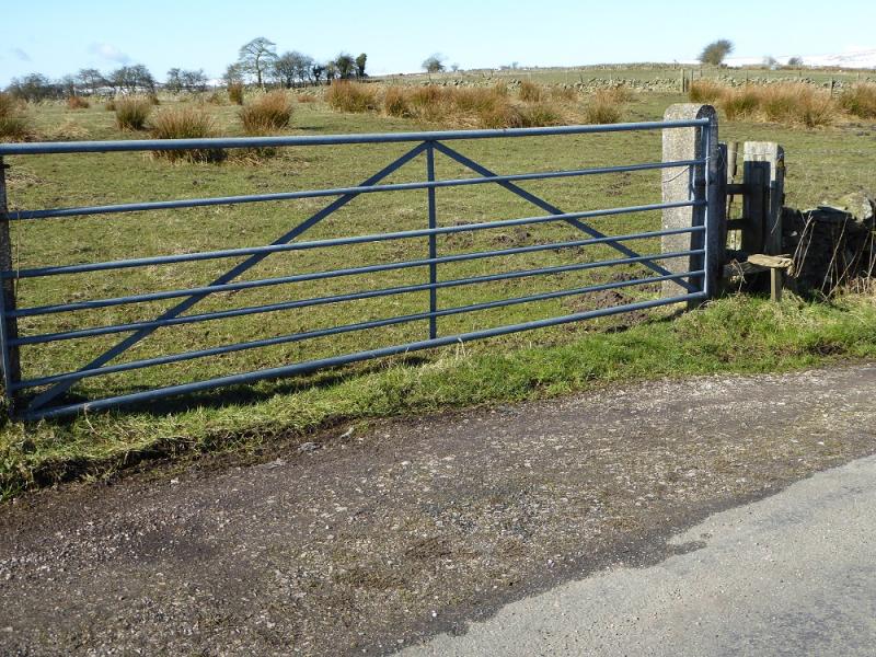
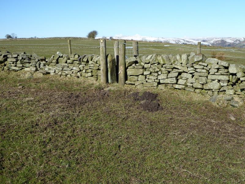
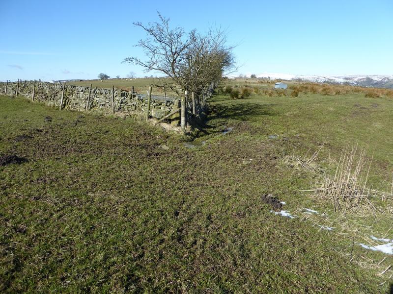
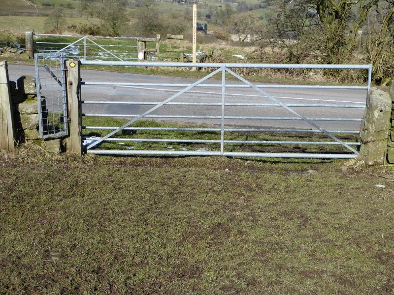
Photos - Hover over photo for caption. Click on to enlarge. Click on again to reduce.