Get Lost Mountaineering
You are here: England » Peak District » Kinder, Mam Tor ridge, Rushup Edge, Brown Knoll & Win Hill from Edale
Edale Horseshoe: Lose Hill to Grindslow Knoll from Edale Village
Edale Horseshoe: Lose Hill to Grindslow Knoll from Edale Village
Start/Finish
Edale village car park which, coming from Hope, is on the Edale road just before the turn off to Edaleage. The turn off for Edale from Hope, from The Hathersage to Castleton road, A625, is not that obvious and easy to miss. It is a right turn opposite a church on the left on the eastern end of Hope. The car park is expensive but there are toilet facilties.
Distance/Time
22 km Approx 7 - 8 hours
Peaks
Lose Hill, 476 m, SK 153 853.
Back Tor, c 430 m, SK 148 851.
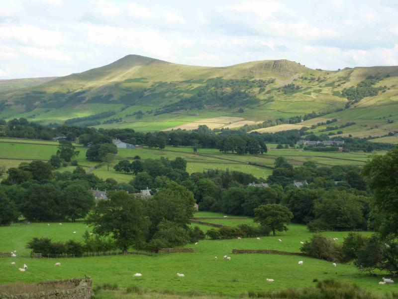
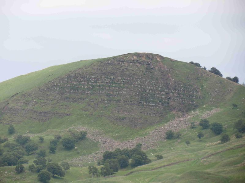
Mam Tor, 517 m, SK 127 836.
Rushup Edge, Lord's Seat, c 540 m, SK 112 835.
Brown Knoll, 569 m, SK 083 851.
Grindslow Knoll, 601 m, SK 109 867. OS Outdoor Leisure 1: Dark Peak
Introduction
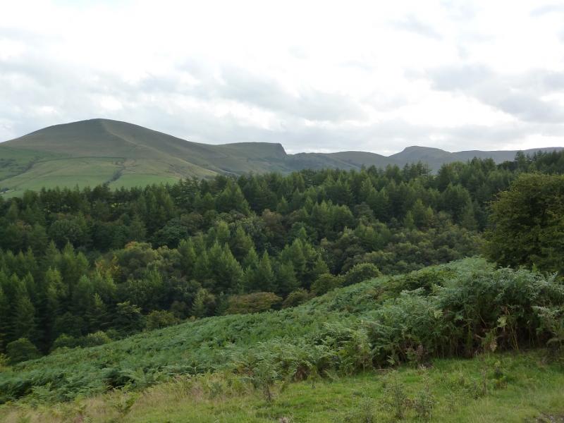
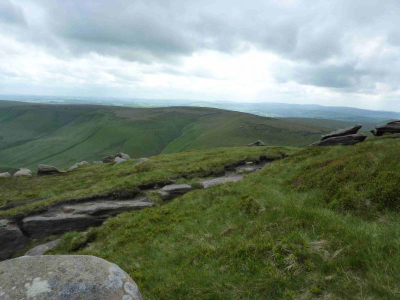
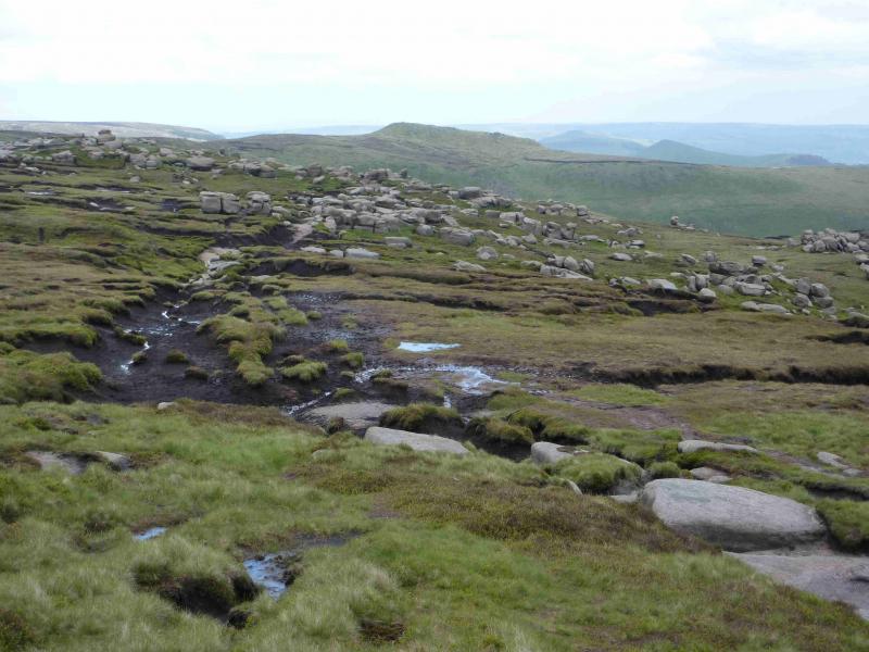
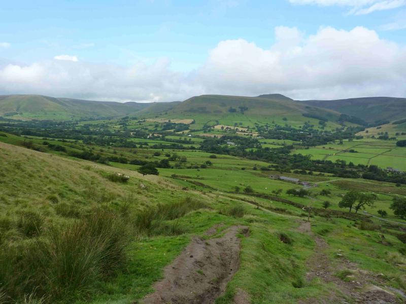
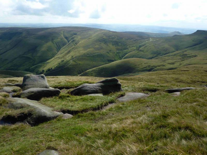
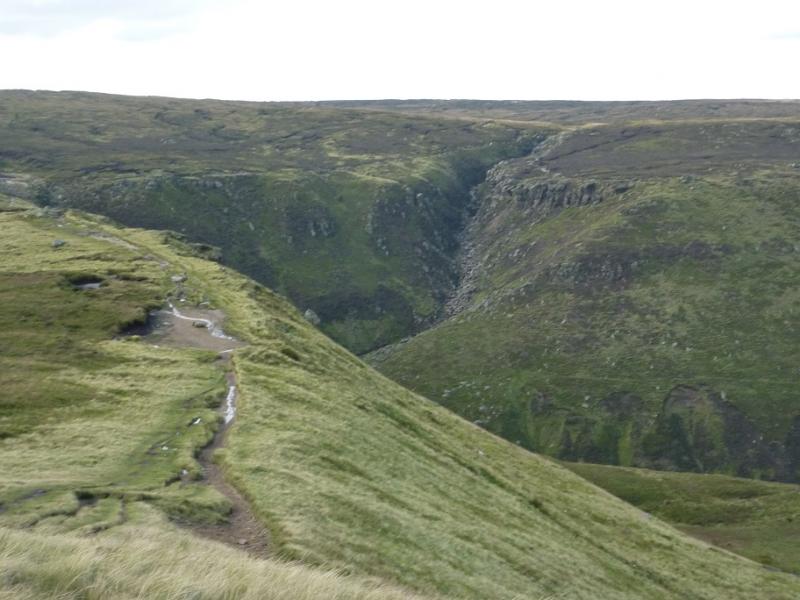
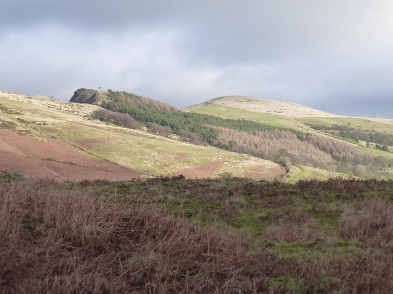
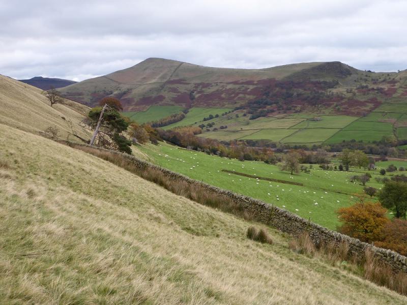
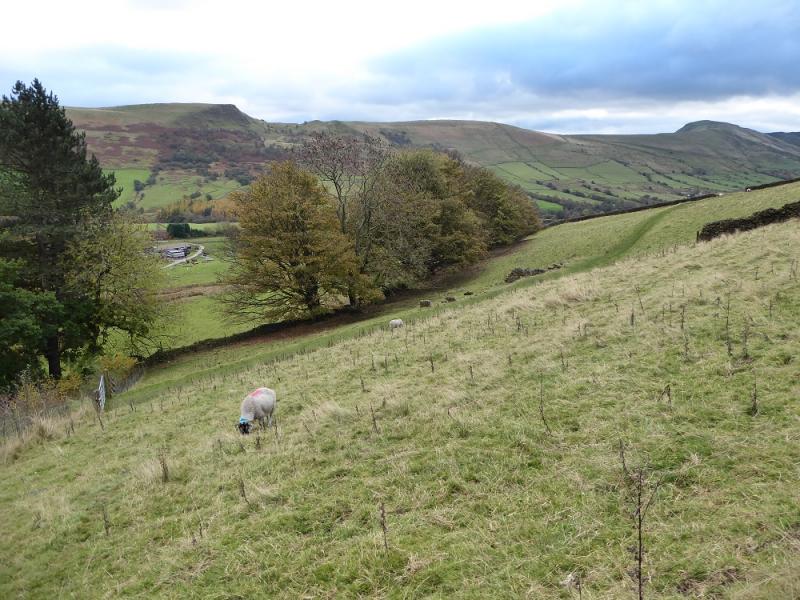
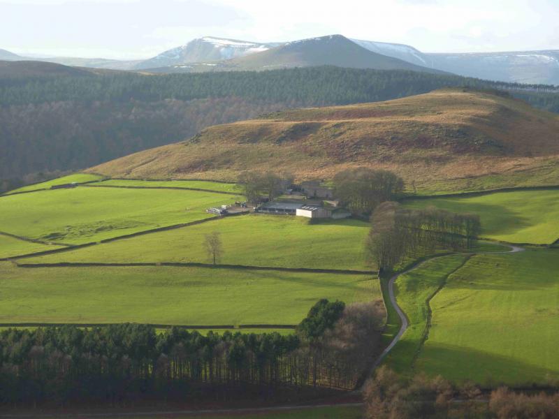
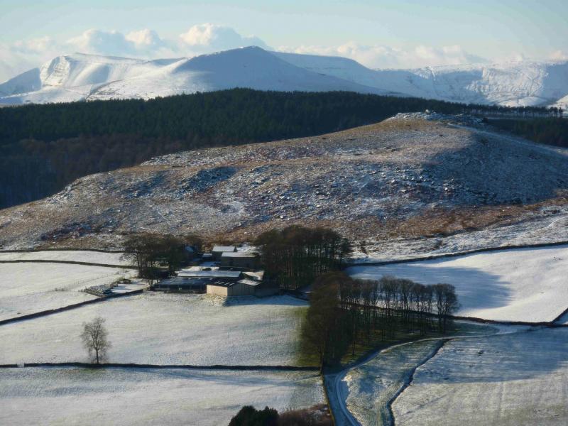
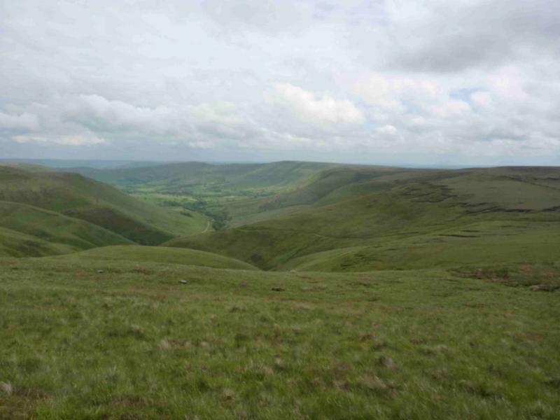
This is a very pleasant walk around the lip of the Edale Valley. There are good views across the valley and beyond. On the southern edge of the Kinder plateau are numerous rocky outcrops which add to the landscape. Between Lord's Seat and Brown Knoll, the paths are faint and often boggy so gaiters are recommended. Navigation will be tricky in mist on this section.
Route
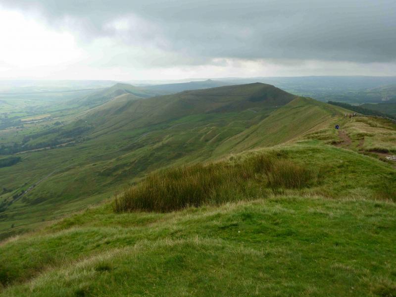
(1) From the car park, walk back along the road, towards Hope, for about 500 m, then take the path/bridleway (can be boggy lower down) which leads up to Hollins Cross, a splendid view point. From here, go left, ENE, to Back Tor then, almost without descending, continue to Lose Hill, 476 m,another splendid viewpoint.
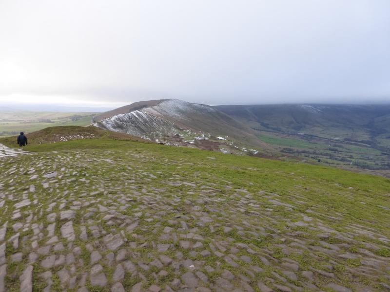
(2) Back track to Hollin's Cross then continue along the ridge, with a long gradual ascent, to Mam Tor, 517 m, where there is a trig point.
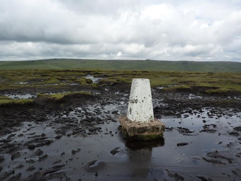
(3) Continue, descending the obvious path to the road. Cross at a suitable point and gain the crest on the other side which is Rushup Edge. Soon reach the highest point, known as Lord's Seat. From here, either follow the Edale edge, roughly W, before turning NW and ascending to the trig point of Brown Knoll, 569 m. Alternatively, stay more on the S side of Rushup Edge until a path goes NW to join the previously mentioned route. Brown Knoll trig point sits in the middle of a bog and it can take some doing to reach the trig point without incident.
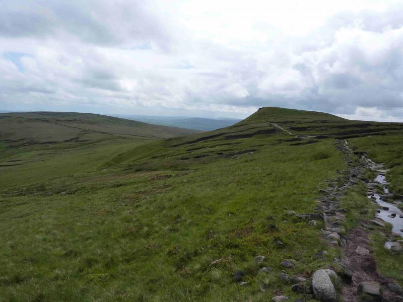
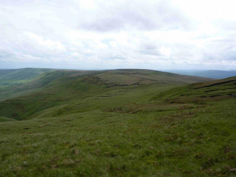
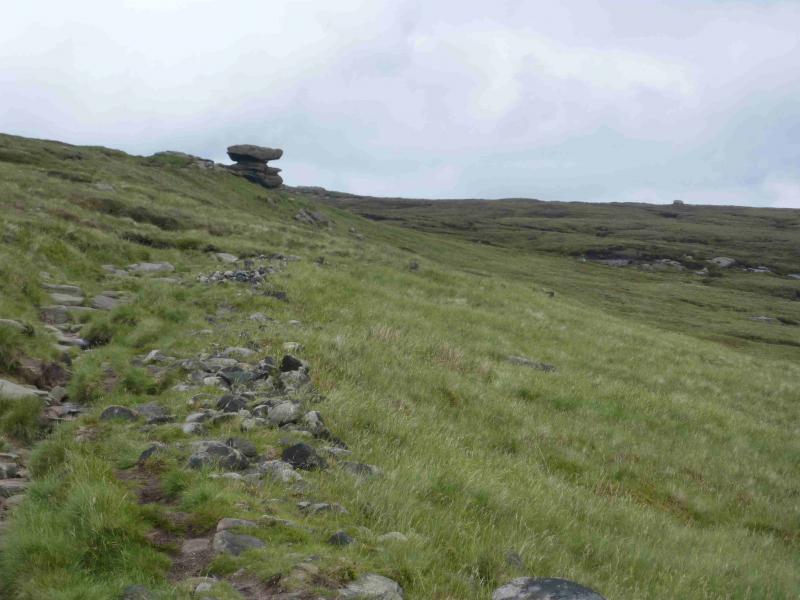
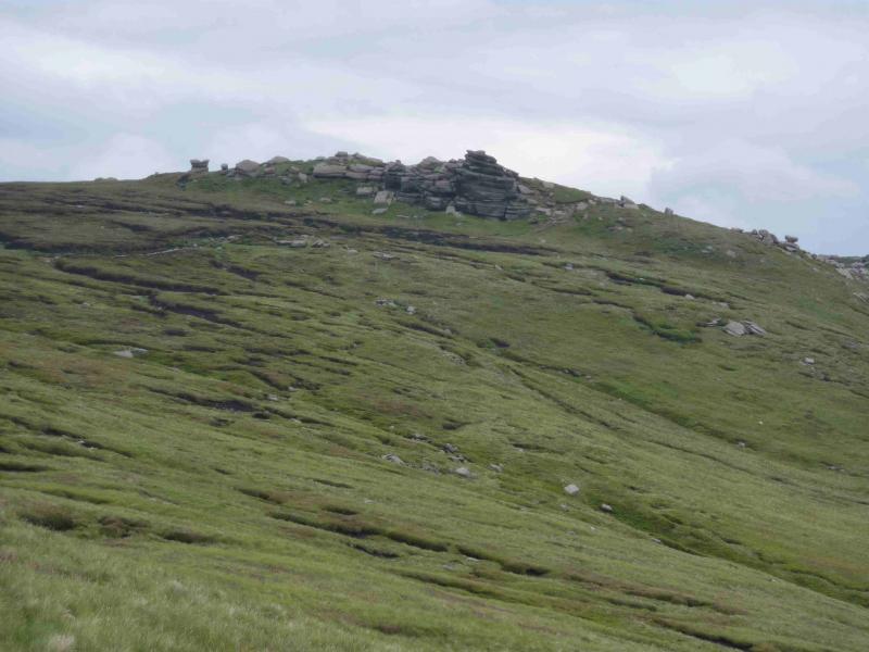
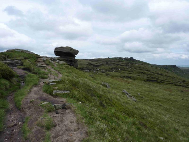
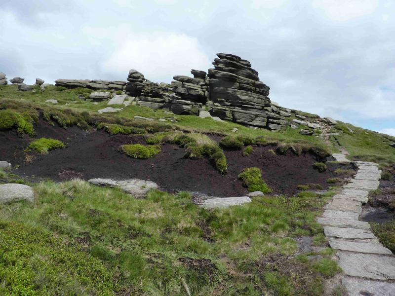
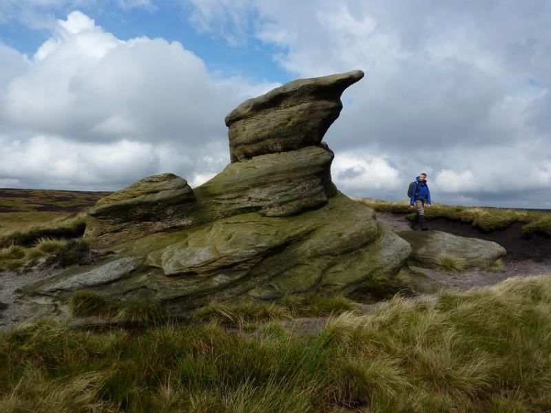
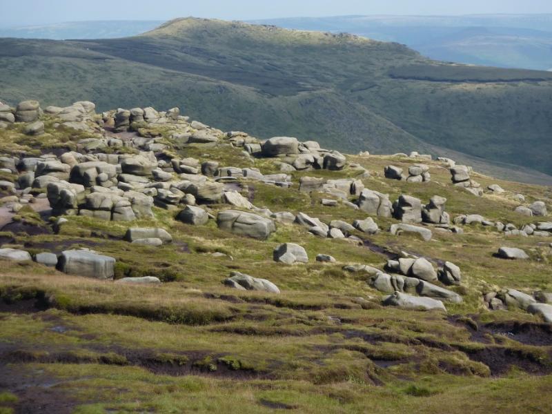
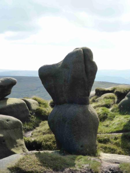
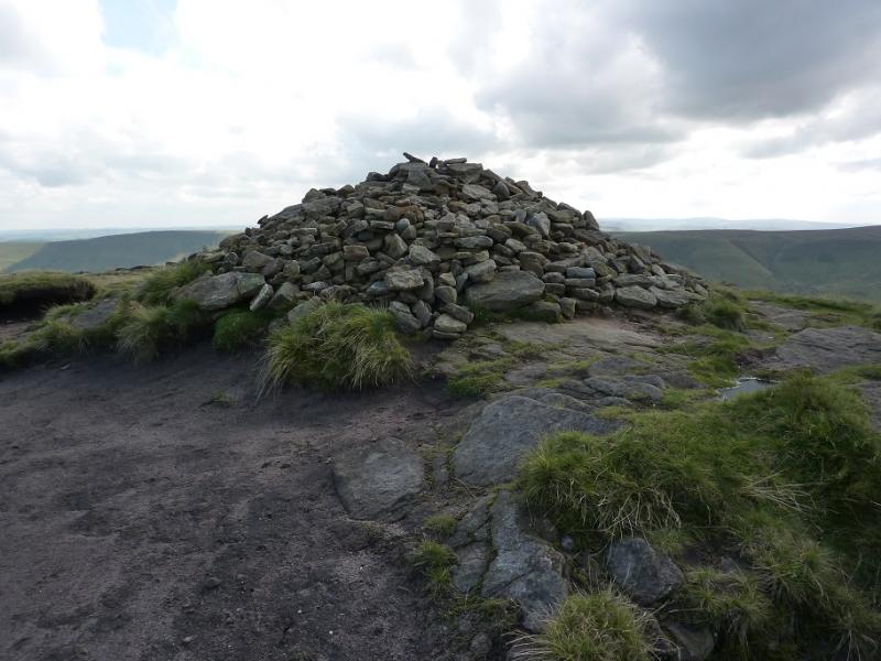
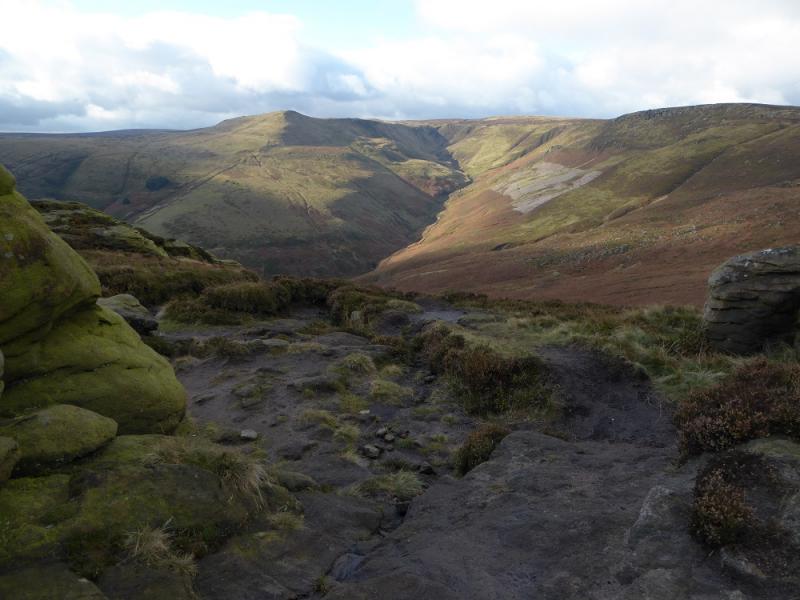
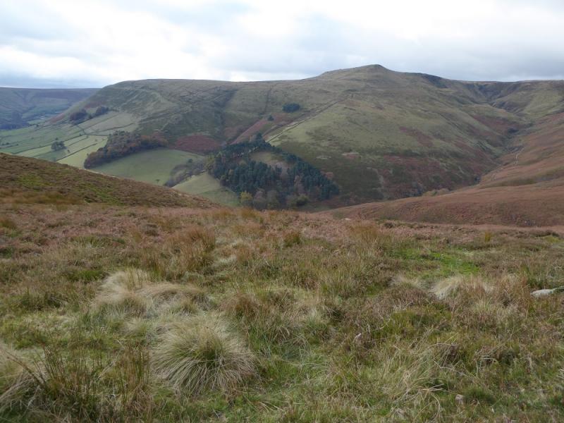
(4) From Brown Knoll, follow the crest, roughly N, on a boggy path. Soon the path goes between two walls and a new stone path appears (over a stile) which leads down to crossroads where Edale Cross is left and Jacob's Ladder is right. Go straight across, ascend about 40m, then take the first path which forks right which leads to Noe Stool, an irregular solitary boulder similar to the Salt Cellar on the Derwent Edge. Continue, now heading E, to an area of many outcrops including the distinctive Pym Chair just to the N. On the ground are many scattered small boulders known as the Woolpacks after which the path goes more NE to cross Crowden Brook. Continue, more like ESE now, and after a small rise, reach the top of Grindslow Knoll, 601 m, where there is a prominent cairn.
(5) The obvious path down actually descends before the cairn but, from the cairn, it is easy to descend E to intersect it then follow it down to Edale. Once on the road, turn right for the car park.
Notes
(a) This walk took place on 17th June, 2012 and many times previously.
(b) Omitting Back Tor and Lose Hill saves about 4 km (1 hour) of walking.
Photos - Hover over photo for caption. Click on to enlarge. Click on again to reduce.