Get Lost Mountaineering
You are here: Ireland » South West » Iveragh Peninsula
Coomnacarrea & Beenmore Horseshoe
Coomnacarrea & Beenmore Horseshoe from Coomsnaham Lake
Start/Finish
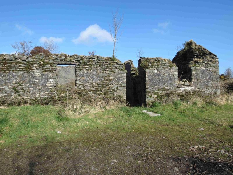
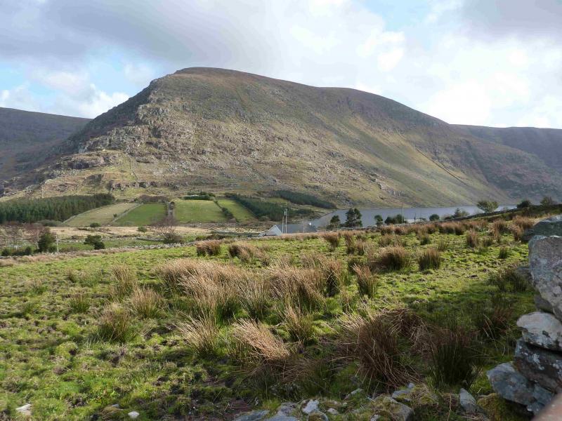
In front of a derelict stone cottage just before the right turn about 300 m before Coomnasham Lake, at V 636 852. There is parking for about 4 cars. Otherwise, park further back towards Glenbeigh. Coomnsaham Lake is reached by driving from Killorglin to Glenbeigh, along the Ring of Kerry coastal route, then forking left, in Glenbeigh, opposite the Post Office (green). This turning is about 200 m before the main road bends left. There is a prominent church at the start of this minor road. Follow the minor road from Glenbeigh for about 4 miles to the derelict cottage. The road is narrow with only a few passing places which are quite tight!
Distance/Time
20 km About 8 hours
Peaks
Meenteog, 715 m, V 638 827 (Irish National Grid System)
Coomnacarrea, 772 m, V 611 826.
Teermoyle Mountain, 760 m, V 604 833.
Mullaghnarakill, 665 m, V 601 850.
Been Hill, 651 m, V 589 854.
Beenmore, 660 m, V 596 868.
Drung Hill, 640 m, V 603 878. Irish OS Discovery Series Maps 78 & 83 (1:50000
Introduction
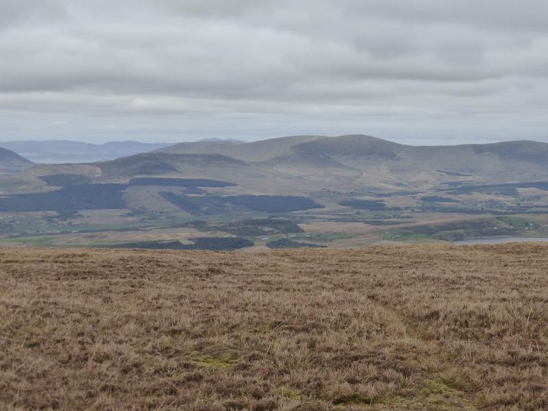
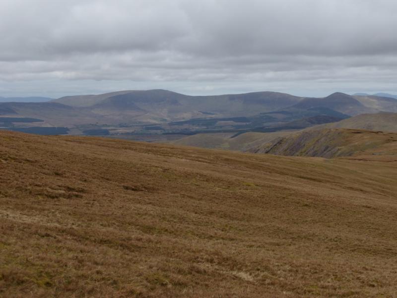
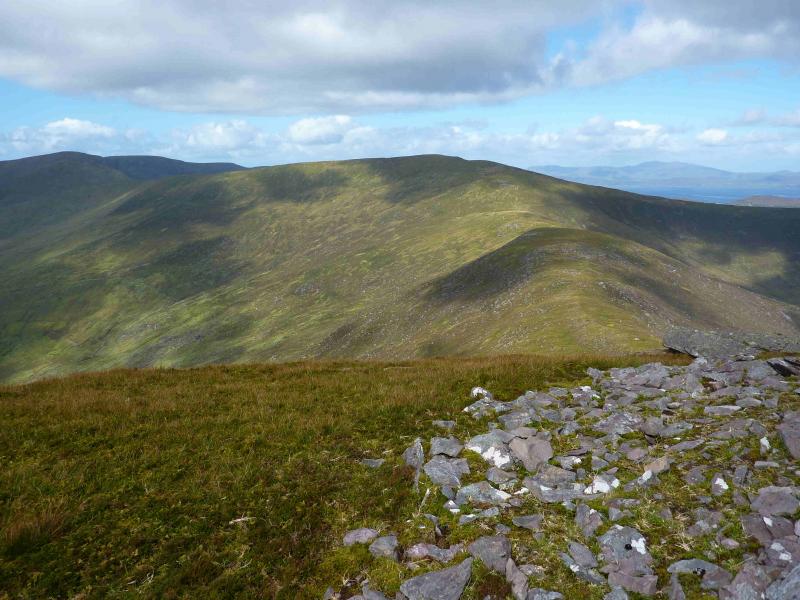
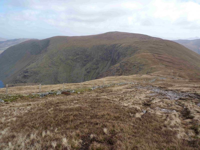
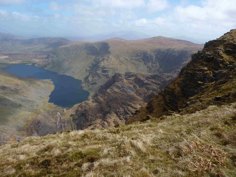
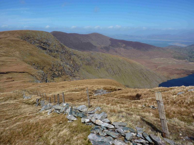
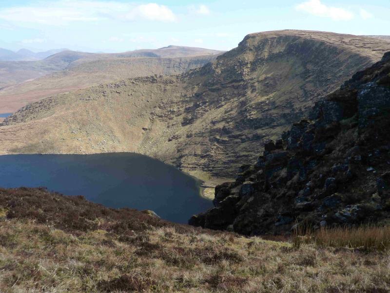
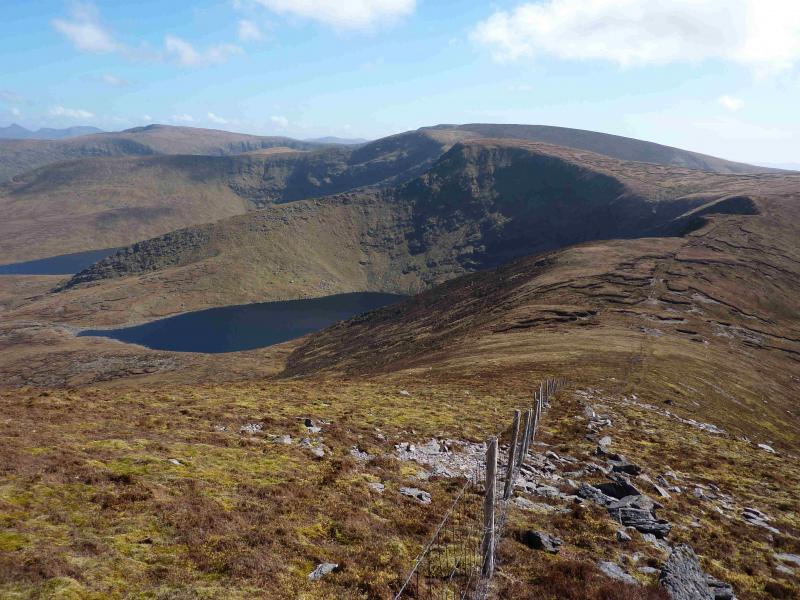
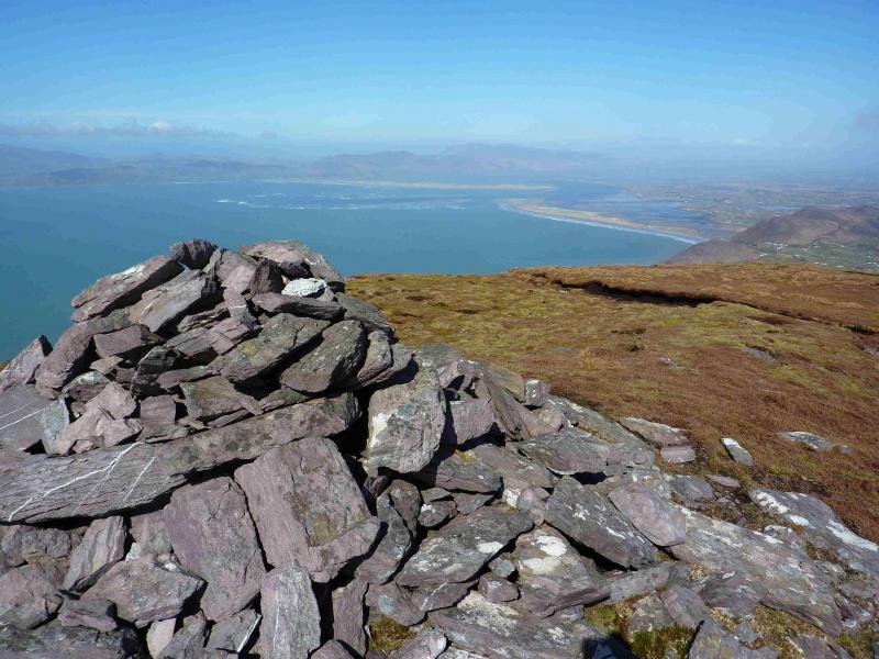
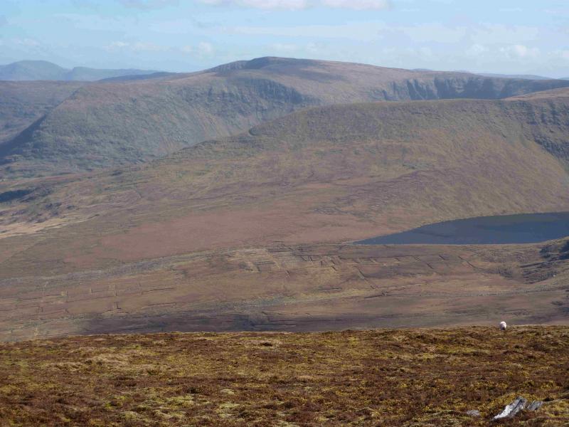
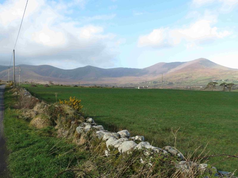
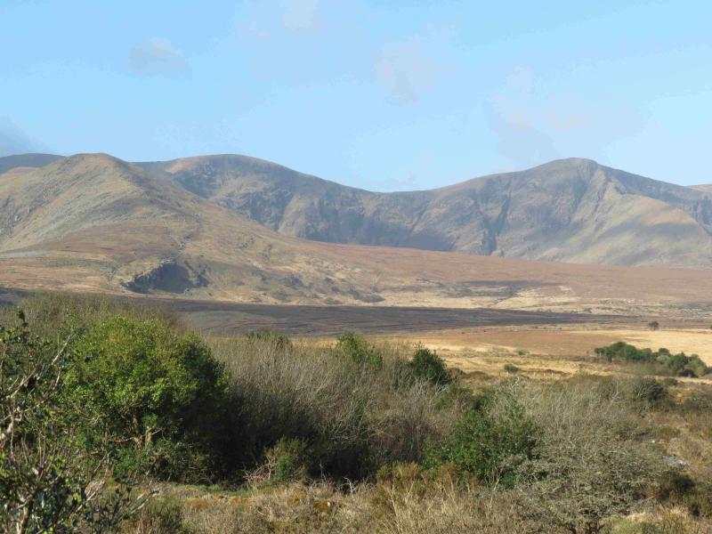
This is a scenic horseshoe over seven summits – five of them being typical Irish peaty moorland hills and the final two being less peaty and more heathery. There are numerous peat hags but they are not too boggy although waterproof boots and gaiters are essential. Fences and old walls abound and some help with the navigation. Many fences have to be crossed and there are no stiles – most are under a metre high but some are topped with barbed wire. Not all of the summits are marked by cairns and some are so small, they could “disappear”. The first five hills throw out magnificent ridges to their north with the views from the Eastern edge of the ridge from Coomnacarrea to Teermoyle Mountain down to Commsnaham Lake being quite spectacular – note the “perched” lochan. Views to surrounding hills are excellent. On a clear day, the distinctive profile of Beenkeragh, Carrauntoohil and Caher is clearly visible to the east. Colly, joined to Meentoeg by a high ridge, is the most obvious hill. Behind Colly is the distinctive pointed peak of Mullaghanatin. To the west is the coastal hill of Knocknadobar and there are good views across Dingle Bay to the mountains of the Dingle Peninsula. It goes without saying that this walk should be saved for a clear and fine day. In thick weather, navigation will be very taxing. The first hill, Meenteog, is ascended via Knocknaman which is the prominent rocky peak just beyond the start. Despite its rocky appearance, it is relatively easy to ascend without the need for any scrambling.
Route
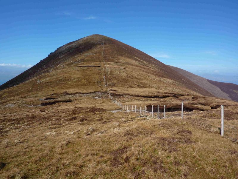
(1) Walk towards Coomsnaham Lake. At the corner where the road turns right, continue ahead on an old tarmac road/track. Follow this until it swings right into a farmyard. Ahead on the left is an old fashioned rusty iron gate with a fence on its left. Go through the gate and follow the fence uphill – there is a hint of a path. Follow the fence uphill and cross it somewhere after an obvious small dark dripping crag. Then gradually pick a way uphill, mainly on grass, weaving between the rocks. It is surprisingly easier than it looks from the start. Soon the rocks are left behind and only grassy slopes remain. Eventually, reach the crest. Knocknaman is techically the end of a shoulder and not a summit but there is a small rocky area which could be considered as its “top”. From here, walk SSW, S then SSE up gentle grassy slopes populated with peat hags. As one nears the summit of Meenteog, a fence appears which can be followed to the highest point. On 16/4/13, there was no obvious cairn to mark the summit of Meenteog, 715 m.
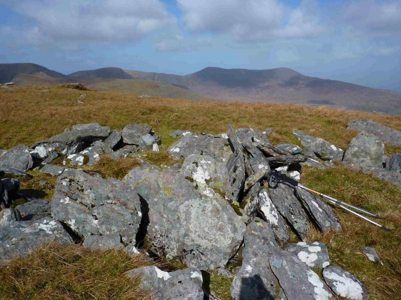
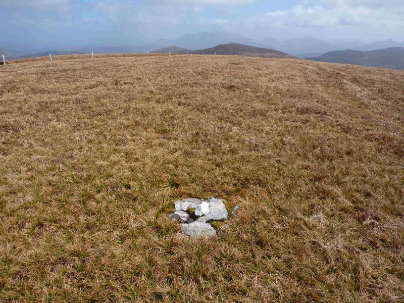
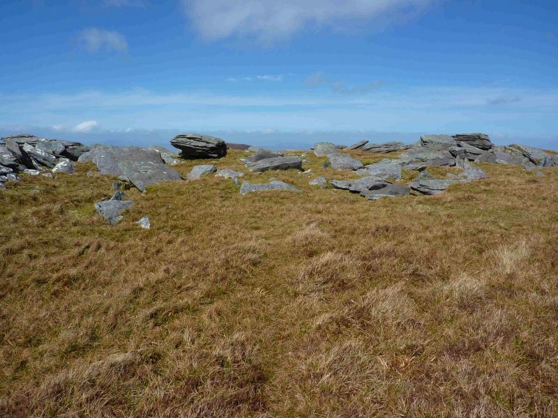
(2) Descend SW, W then NW down broad grassy slopes (more peat hags) to a broad col. There is a fence on the left which helps for a while but then goes off left so may not be much use in thick weather. Keeping more toward the edge of the N coom may be more reliable. From the col, a fence leads up the E ridge to a flat plateau. On 16/4/13, there was a tiny cairn which marked the summit of Coomnacarrea, 772 m.
(3) Descend NNW, following the fence, along the edge of the coom and enjoy some of the best views of the day including the “perched” lochan of Loughacummeen. The “path” is on the coom side of the fence and is exposed in a few places so tread carefully or walk on the other side of the fence. The fence passes to the east of the summit plateau so, at some point, leave it and go looking for the summit. Fortunately there is a small cairn but it would be difficult to locate in mist. It is situated on a gravel bed. Nearby are some slightly higher peat hags.
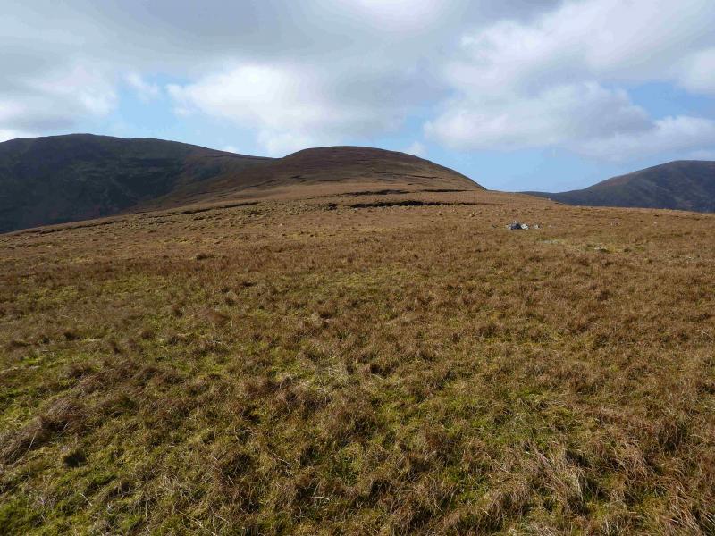
(4) Return to the fence and follow it down past the lower plateau holding top 702. Continue, more steeply to reach a well defined col. Follow the fence uphill but note that is goes off left well before the summit so leave the fence and continue on the same line to reach a short grassy ridge running roughly E – W with many low slabby rocks upon it. Surprisingly, despite much rock being nearby, there is no cairn to mark the summit of Mullagnarakill, 665 m.
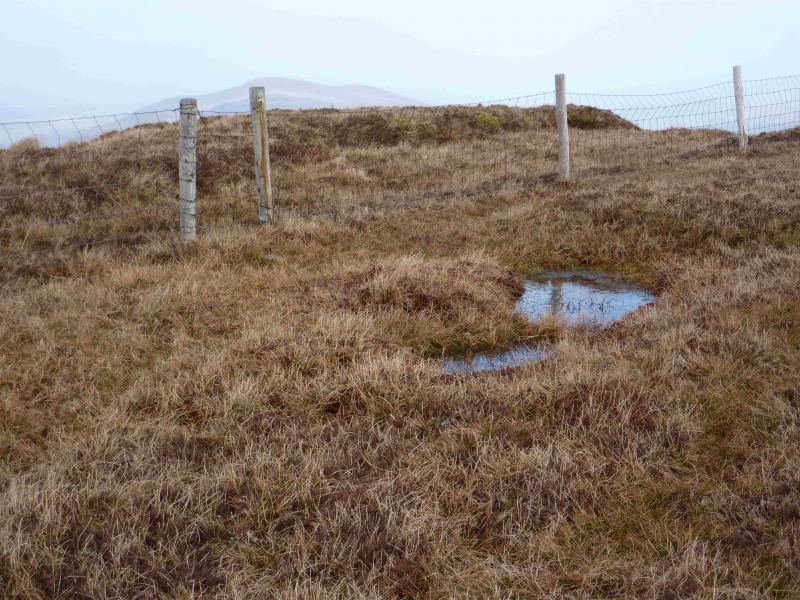
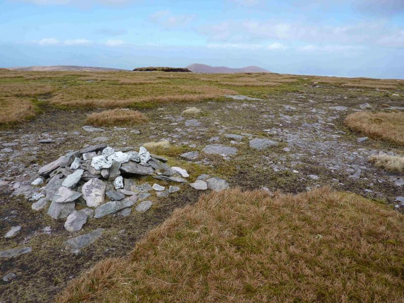
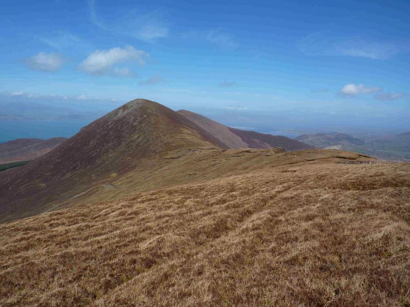
(5) The next section is mainly grassy but with many peat hags. Descend WSW down gentle slopes to reach a broad col then ascend NW weaving around the peaty areas so navigation will be tricky in thick weather. Fortunately, a fence crosses close to the summit running from about E to W. A small cairn marks the summit of Been Hill, 650 m.
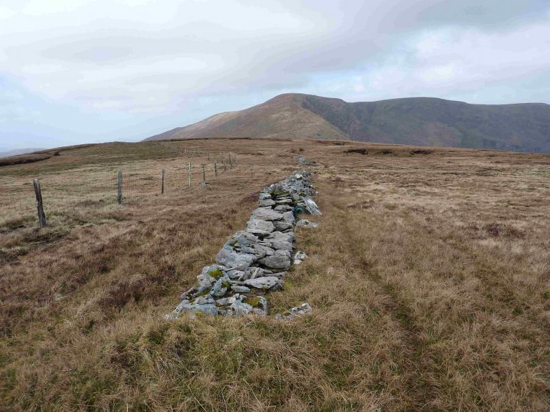
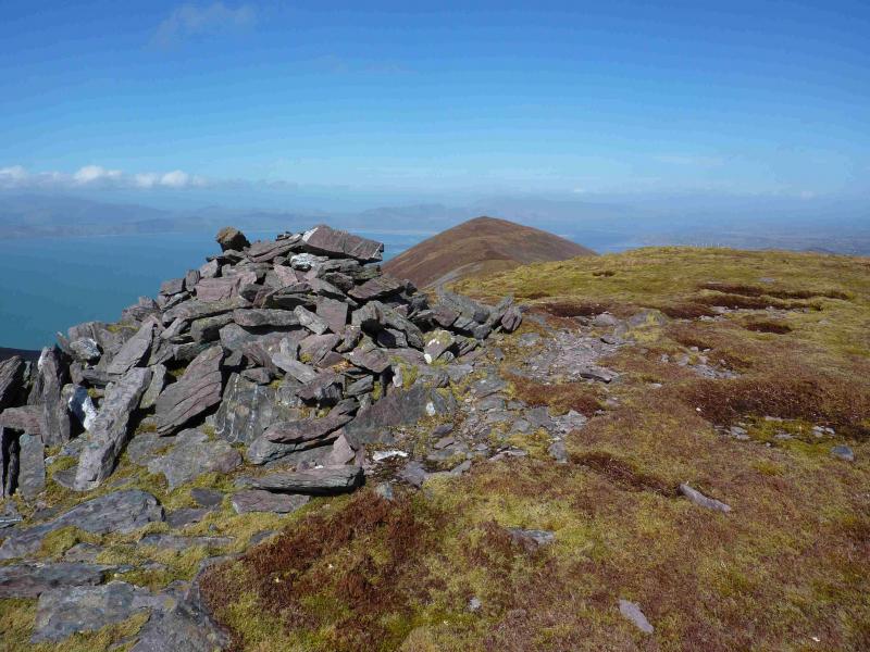
(6) Follow the fence E then NE. Be careful as other fences come and go so use the steep edge overlooking Coomnacronia Lake as a guide. The lower ridge down to the col is relatively well defined, turning N just above the col which is well defined with a fence on the right, E. A fairly obvious path leads up the S ridge, passing a simple stone shelter about two thirds of the way up. The path leads to a large cairn which marks the summit of Beenmore, 669 m.
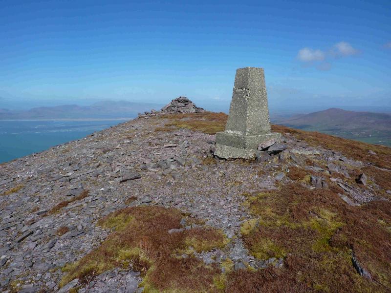
(7) The continuation descends NE, along a well defined crest with an obvious path most of the way. The col is about three quarters of the way along the crest from where a short and gentle ascent leads to the white trig point and a large cairn which marks the summit of Drung Hill, 640 m.
(8) The return to the start requires one to locate the old bog road which starts E of Kealduff. In clear weather, this can be seen, from Drung Hill, passing to the N of the small Lough Naparka. On 16/4/13, the E ridge of Drung Hill was descended until the gradient eased then a more direct route, through deepish heather at first, followed to reach lower ground near Letter West. Pass a ruined farm on its left then aim for a green shed. Neither of these are shown on the 1995 map but are obvious in clear weather. The lower ground is quite rough, boggy in places, crosses streams (not normally a problem) as well as walls and fences. Just before the green shed is a barbed wire enclosure. Go around this on the uphill side then make a direct line, through the scattered gorse to reach the bog road. Follow the bog road road until it goes through a gate and meets a track. Turn right, slightly uphill. At the first building, fork left and soon reach the tarmac road. Turn left and follow it back to the start.
Notes
(a) This walk took place on 16th April, 2013.
(b) It might be easier to stay on the E ridge of Drung Hill for longer before descending to the road then following this to Kealduff and the old bog road. This will be longer but may be quicker. This alternative has not been checked out.
(c) The Fossa camp and caravan site, at V 910 923 is very good and very well situated for the Killarney mountains, especially Macgillycuddy's Reeks and Purple Mountain as it is only about 3 miles from Kate Kearney's Cottage. At Fossa, there are camping and caravanning facilities as well as a hostel and static trailer vans can also be hired. For campers, there are excellent showers (small extra charge) and there is a good campers’ kitchen with tables, sinks and cooking area if you have your own cooker and pans. Gas rings are available (small extra charge). There is also a TV room. Reception is open quite late in the high season and the staff are very helpful. A computer is available for hire and there is a freezer in reception. There is a bus stop outside the site for Killarney. There is a 24 hour Tesco which is off the northern bypass (turn right at 4th roundabout then right at next). Out of high season, it can be better for 2 people to rent a trailer van than to camp separately
Photos - Hover over photo for caption. Click on to enlarge. Click on again to reduce.
 from ascent of Knocknaman.jpg)


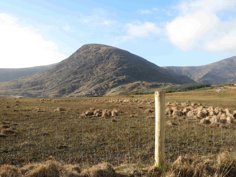
 from Glenbeigh to Coomsaham Lake road.jpg)