Get Lost Mountaineering
You are here: Ireland » South West » Iveragh Peninsula
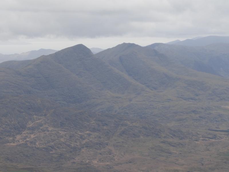
Mullaghanattin & Beann
Mullaghanattin & Beann from near Tooreennahone to S
Start/Finish
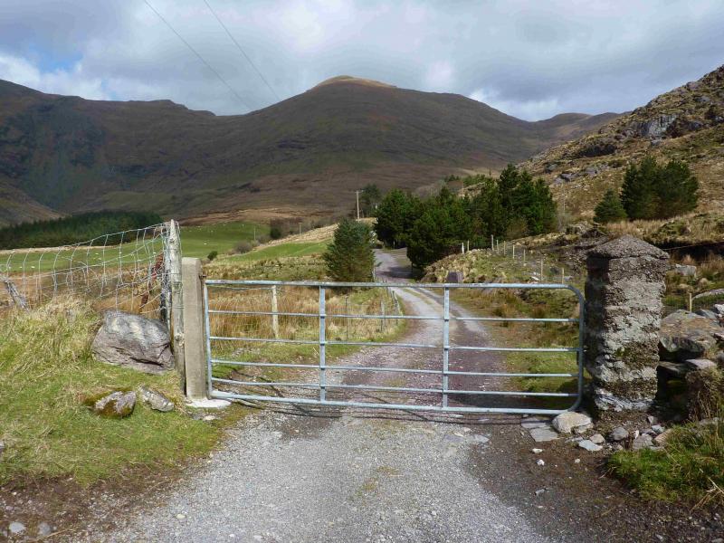
End of minor road, near Tooreennahone up the Blackwater Valley.. From Killarney, take N71 for Kenmare. At Moll's Gap, turn right on to Sneem road, R568. Follow this to the N of Boughil and Knocklomena to reach a crossroads after about 6 miles. Continue ahead but, within 400 m, fork right, signed Glencar. Follow this road. Just after a bridge where the road to Glencar goes right, continue ahead on a road which is not much more than a track. Follow this for about 2 miles. About 300 m after a turning on the left, the road is blocked by a gate before a small cluster of trees. There is room for one car on the left of the gate. Otherwise, park carefully at the turning 300 m back.
Distance/Time
13 km About 7 - 8 hours
Peaks
Mullaghanattin, 773 m, V 739 773. (Irish National Grid System)
Beann N Top, 692 m, V 731 771.
Beann, 752 m, V 726 764.
Beann W Top, 657 m, V 719 760.
Beann S Top, 639 m, V 728 756. Irish OS Discovery Series Map 78 (1:50000)
Introduction
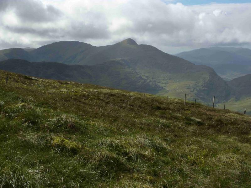
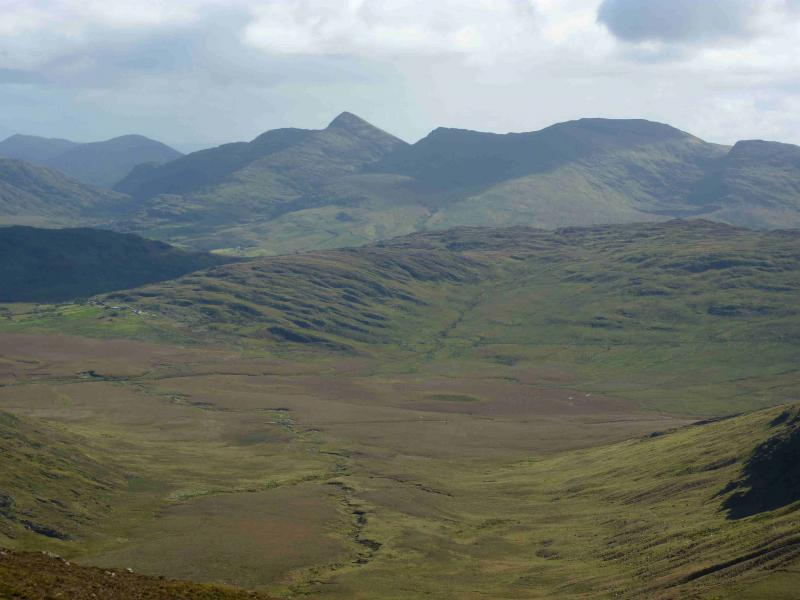
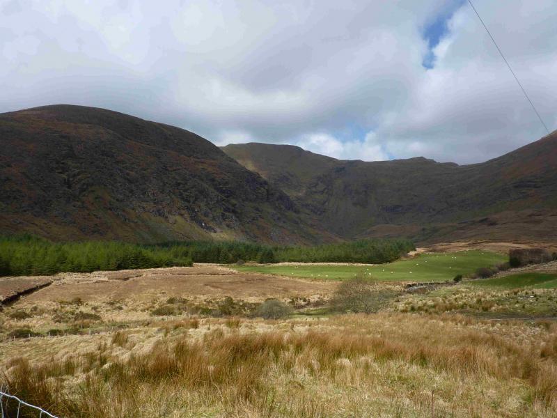
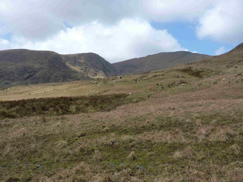
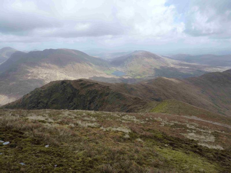
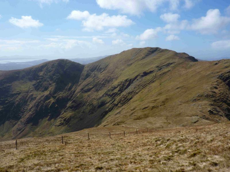
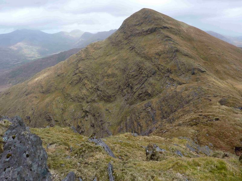
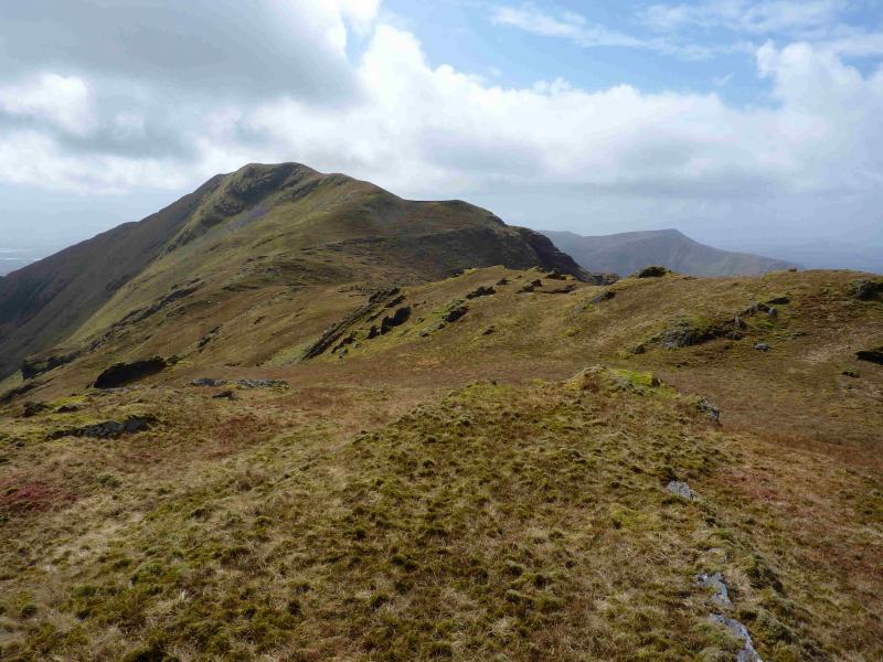
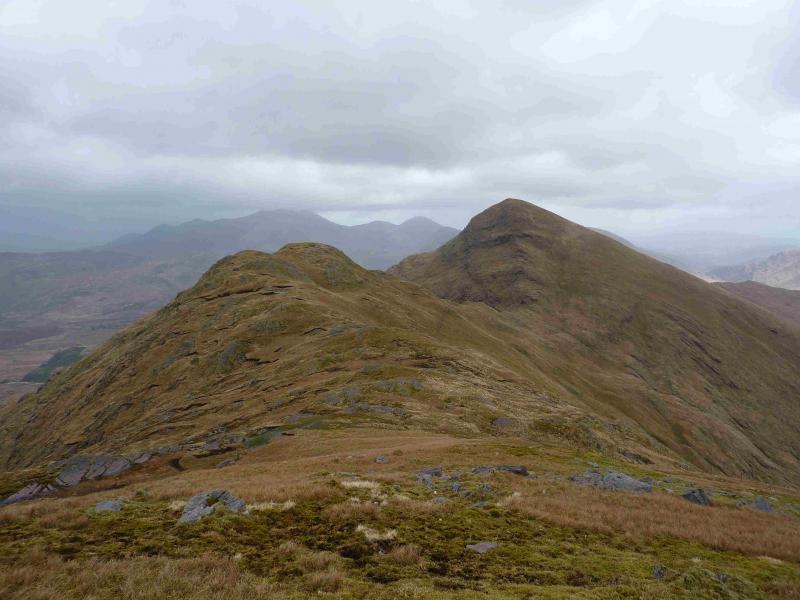
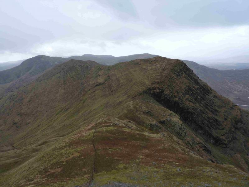
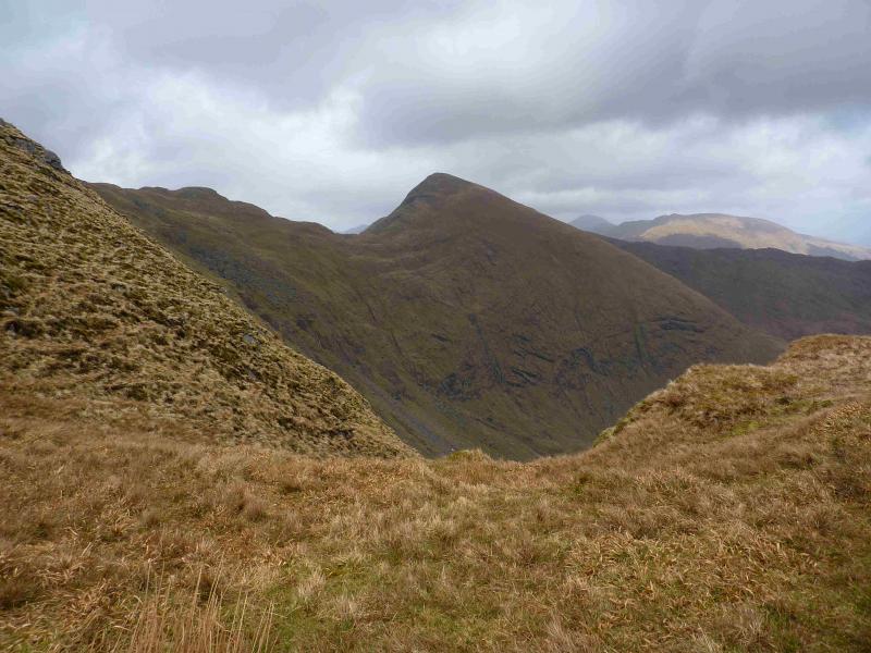
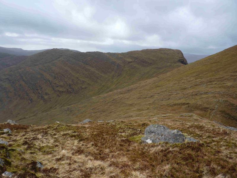
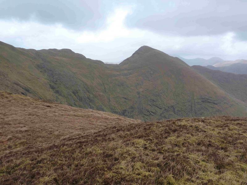
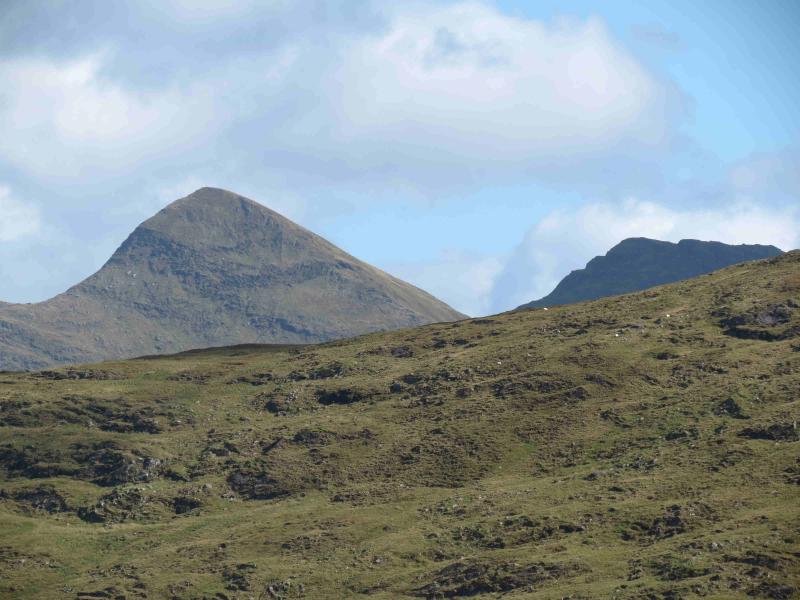
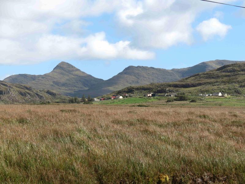
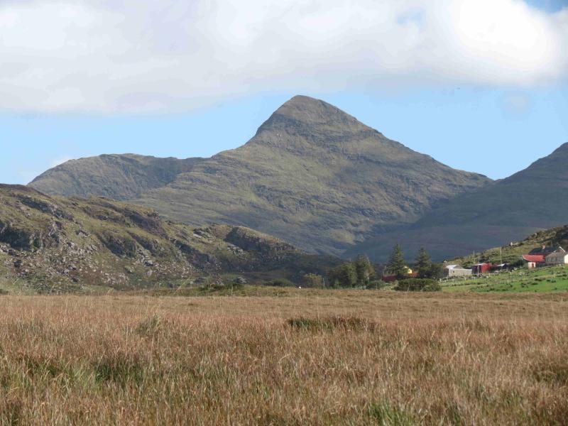
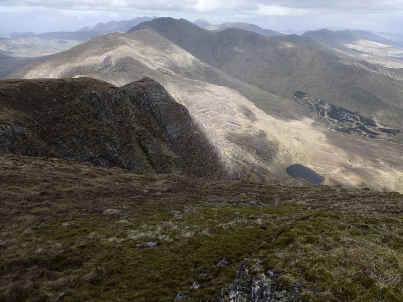
The pointed peak of Mullaghanattin is one of the most recognisable on the Iveragh Peninsula and is well seen from most other hills. This is a tough walk, more so when there are strong westerly winds from which there is little escape. The route, itself, is not particularly difficult but there are some exposed sections such as on the narrow summit ridge of Beann which falls precipitously into The Pocket, the name for the head of the Blackwater Valley.
Route
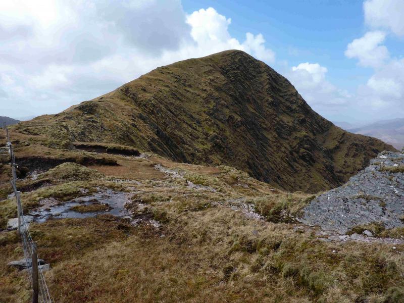
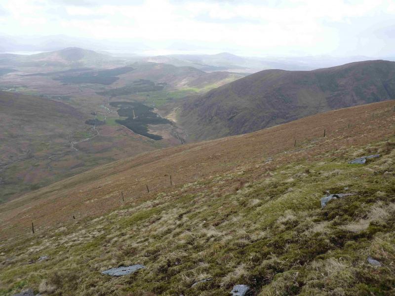
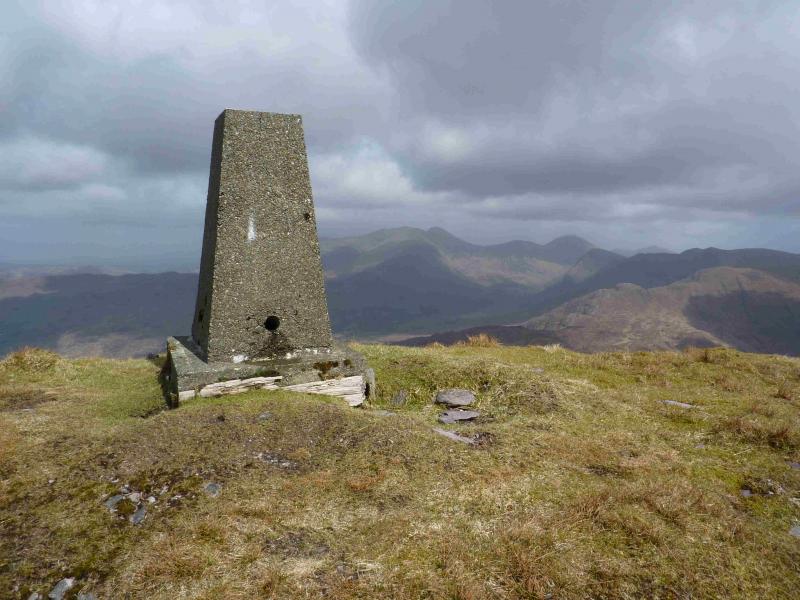
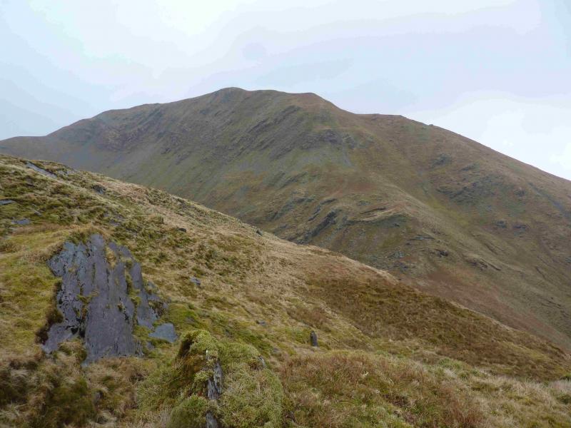
(1) From the gate, continue walking up the track. On a left bend, a new track goes to a new house. Just past this, a rough track shadows the river on its W side before petering out. Head NNE, across rough, sometimes wet, ground to intercept the N tributary of the river and follow it up to meet the E ridge of Mullaghanattin. A fence accompanies the river higher up. At the col, another fence goes W up the E ridge. Ascend the grassy, but steep, W ridge. The fence does not go to the summit but crosses the S flank, however, the ridge is so well defined that route finding should not be a problem. Soon the trig point is reached which marks the summit of Mullaghanattin, 773 m.
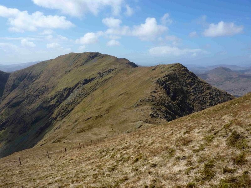
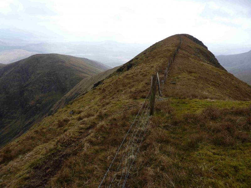
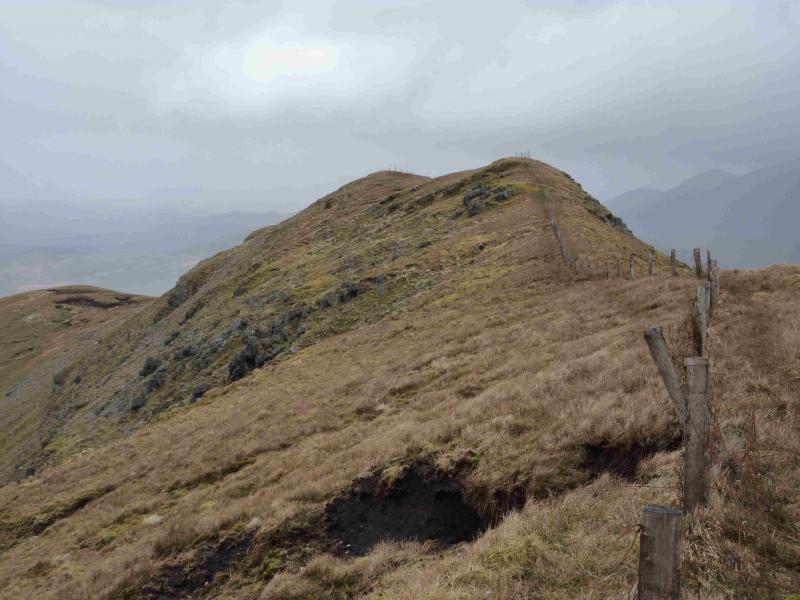
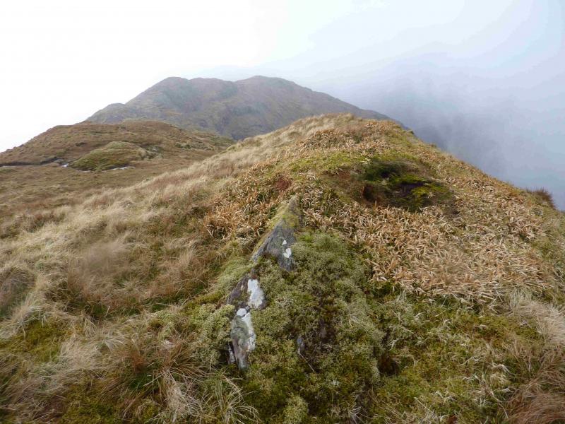
(2) Descend roughly SW to rejoin the fence and follow it down to a well defined col. Ascend the steep, sometimes rocky, slopes, intially following the fence until it stops ascending and traverses the S flank. Ascend to a small plateau where there is no cairn to mark the summit of Beann N Top, 692 m. Apparently, there is a memorial to a walker who had a fatal accident here which one may come across depending on the route of ascent.
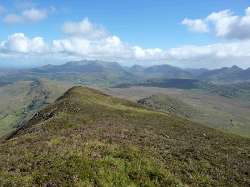
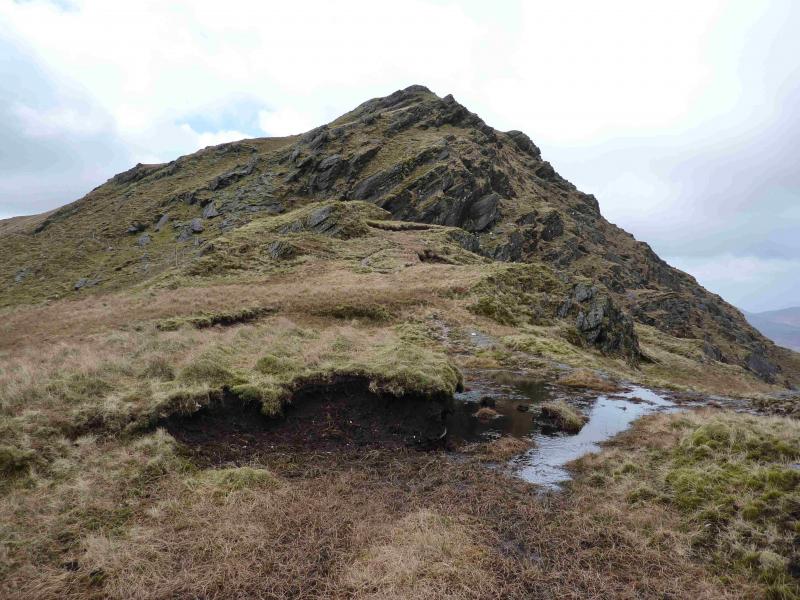
(3) Descend SE, losing little height, to rejoin the fence and follow it up on to the narrow, grassy crest with steep drops on both sides. There is no cairn to mark the summit of Beann, 752 m.
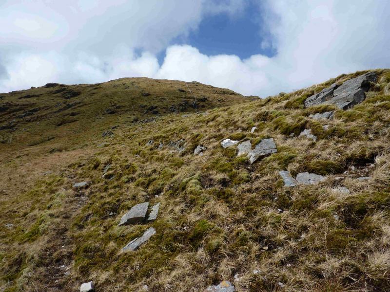
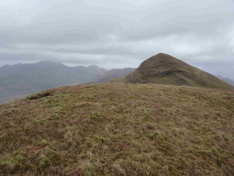
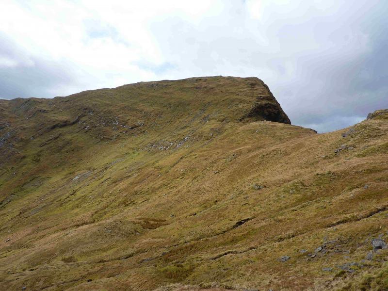
(4) Continue along the crest until a fence goes off right. Follow this down, steep in places, to reach an obvious col. Follow the fence up the other side, diverting to the left where the fence goes across an exposed crag then ascend easy grassy slopes to the flat top where there is no cairn to mark the summit of Beann W Top, 657 m.
(5) Retrace to the col then traverse ESE across the S flank of Beann to reach the S col of Beann. The line is obvious in clear weather. Ascend S/SE to reach the flat grassy top where there is noc airn to mark the summit of Beann S Top, 639 m.
(6) Descend S down a broad grassy ridge for nearly 2 km until a track can be gained which descends E down to Tooreennahone. This is not shown on the 1995 map. If in doubt, locate the stream flowing down from between the summit and Top 531 and walk down its W bank. This will intersect with track which leads down to the minor road. Turn left for about 300 m to reach the gate at the start.
Notes
(a) This walk took place on 18th April, 2013.
(b) The Fossa camp and caravan site, at V 910 923 is very good and very well situated for the Killarney mountains, especially Macgillycuddy's Reeks and Purple Mountain as it is only about 3 miles from Kate Kearney's Cottage. At Fossa, there are camping and caravanning facilities as well as a hostel and static trailer vans can also be hired. For campers, there are excellent showers (small extra charge) and there is a good campers’ kitchen with tables, sinks and cooking area if you have your own cooker and pans. Gas rings are available (small extra charge). There is also a TV room. Reception is open quite late in the high season and the staff are very helpful. A computer is available for hire and there is a freezer in reception. There is a bus stop outside the site for Killarney. There is a 24 hour Tesco which is off the northern bypass (turn right at 4th roundabout then right at next). Out of high season, it can be better for 2 people to rent a trailer van than to camp separately.
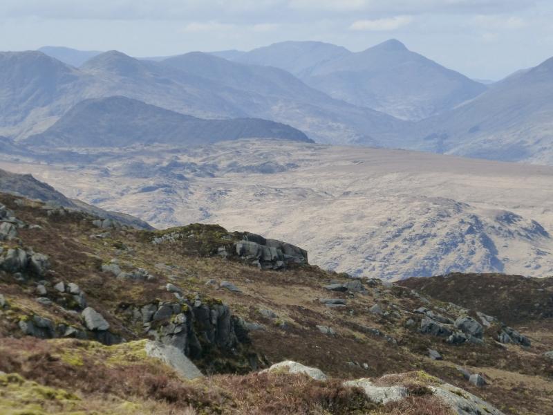
Photos - Hover over photo for caption. Click on to enlarge. Click on again to reduce.