Get Lost Mountaineering
You are here: Ireland » South West » Dingle Peninsula
Beenoskee & Stradbally Mountain
Beenoskee & Stradbally Mountain from Stradbally Village
Start/Finish
Stradbally Village on the coastal road from Tralee along the N side of the Dingle Peninsula. Stradbally is about 15 miles W of Tralee, after Camp and just after the first two Castlegregory turnings. Park somewhere sensible in the village where parking is limited.
Distance/Time
16 km About 7 hours
Peaks
Stradbally Mountain, 798 m, Q 587 092. (Irish National Grid System)
Beenoskee, 826 m, Q 581 089.
An Com Ban (Coumbaun), 610 m, Q 568 092.
Irish OS Discovery Series Maps 70 & 71 (1:50 000)
Introduction
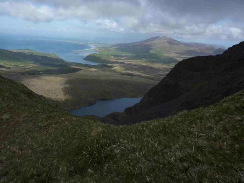
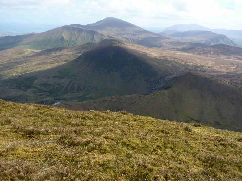
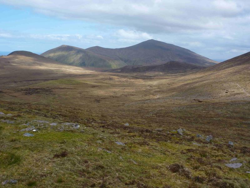
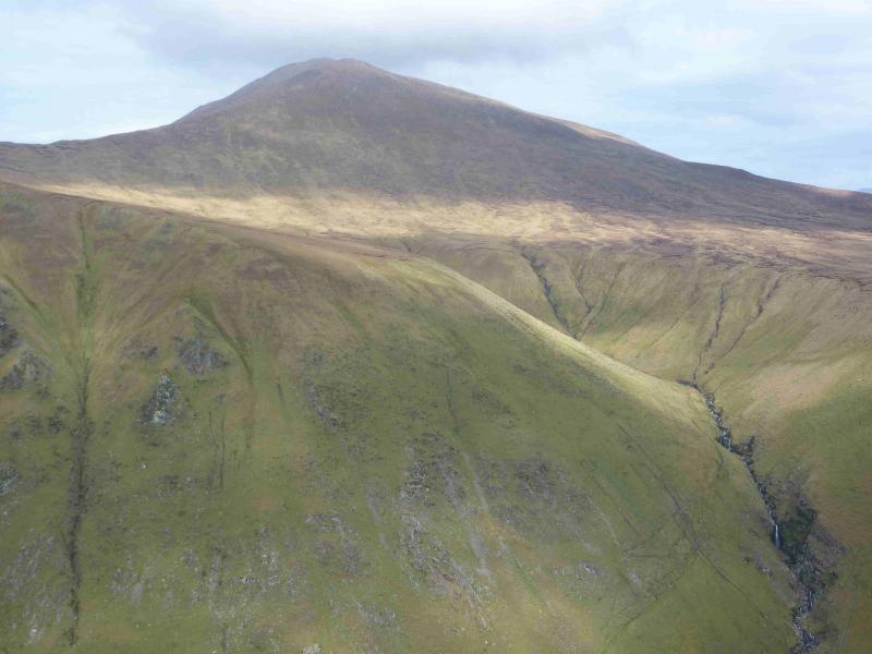
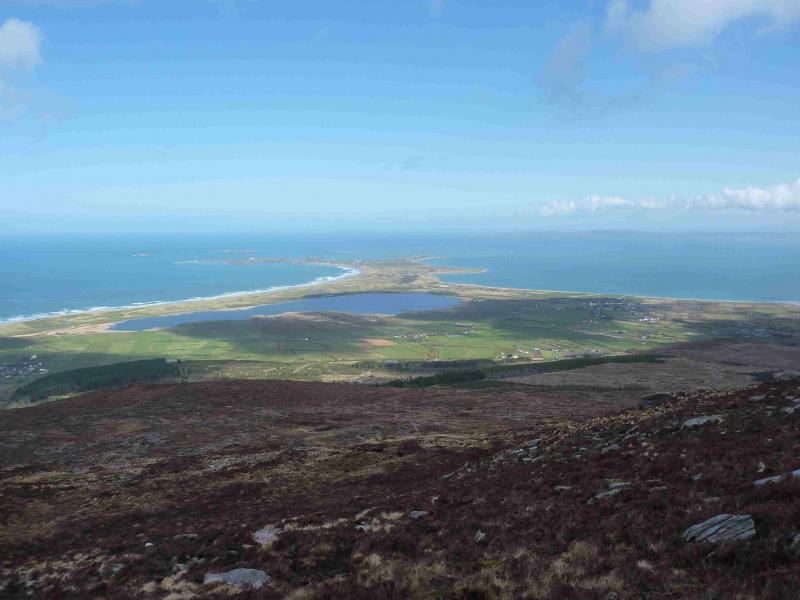
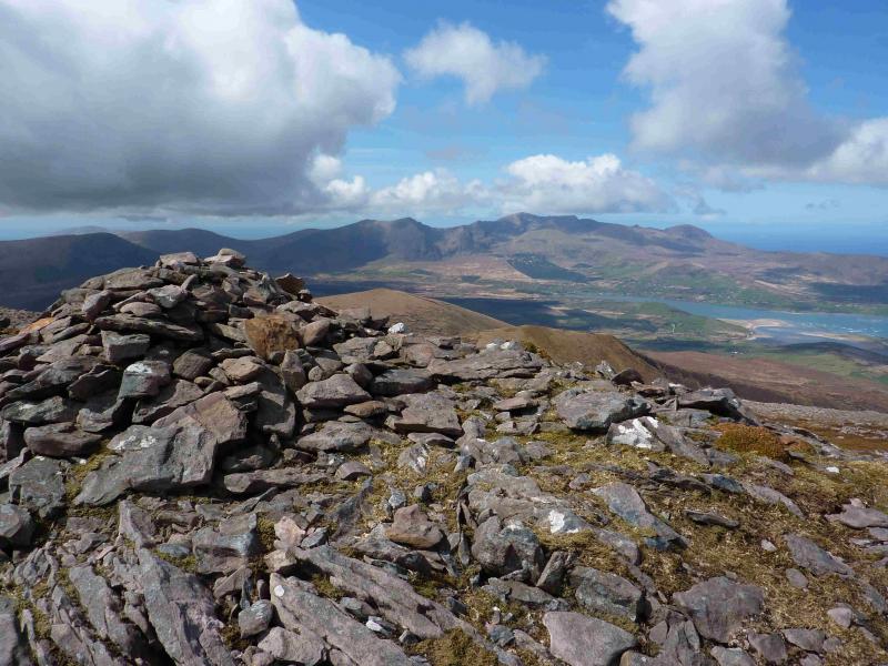
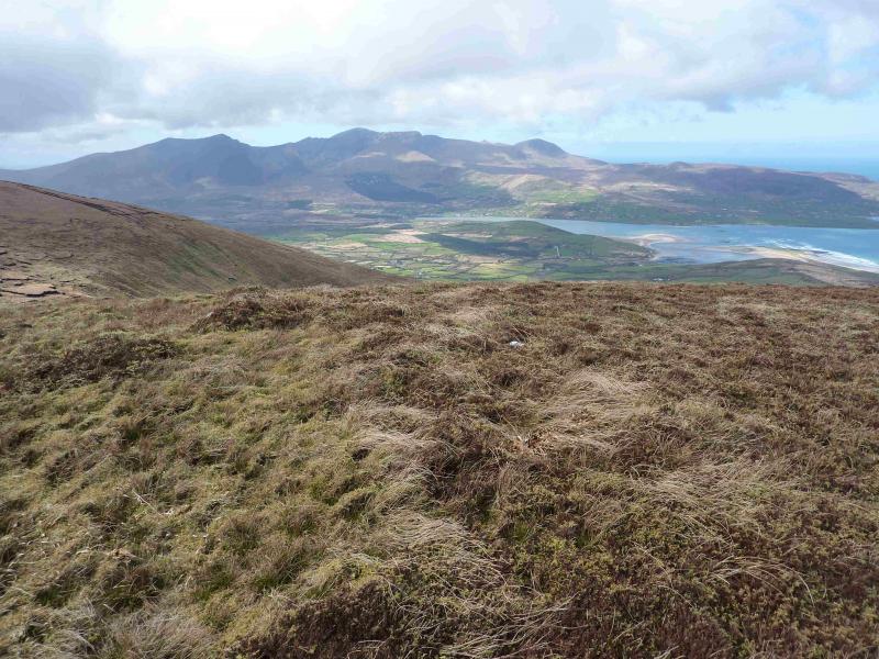
This is a tough but enjoyable walk over fine mountains which give excellent views to the surrounding hills especially Brandon Mountain and the coastal seascape including the Castlegregory Peninsula and the Magharee Islands.
Route
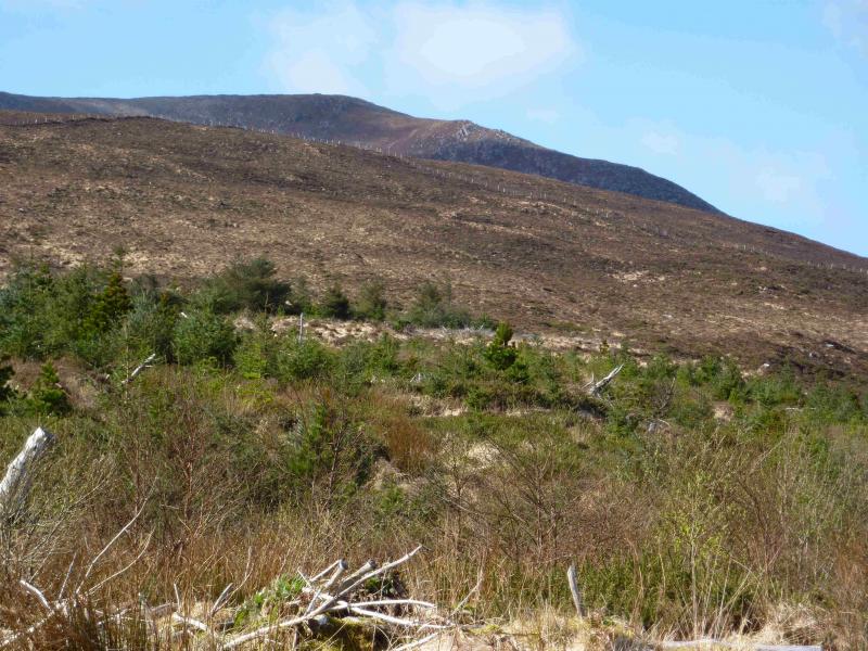
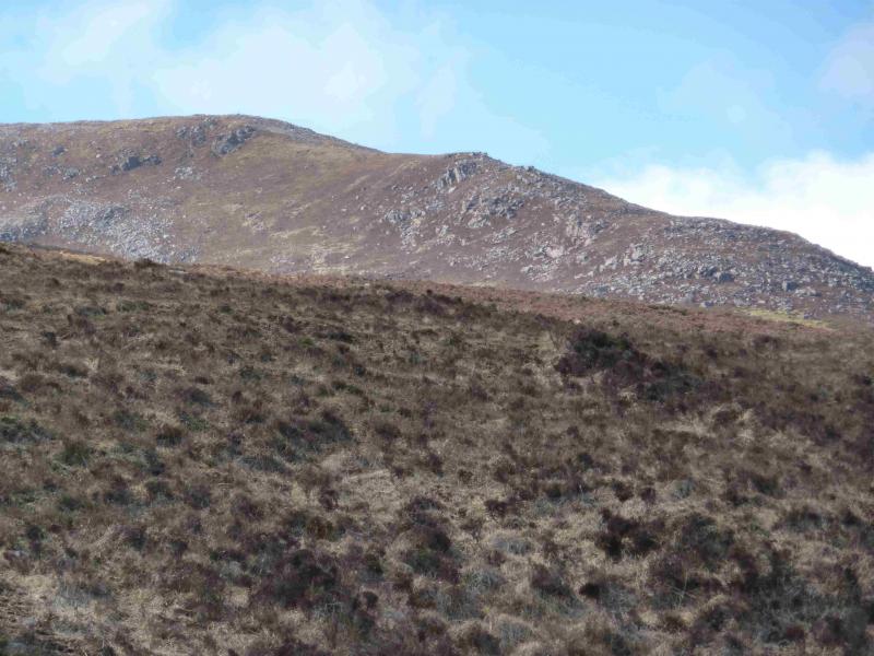
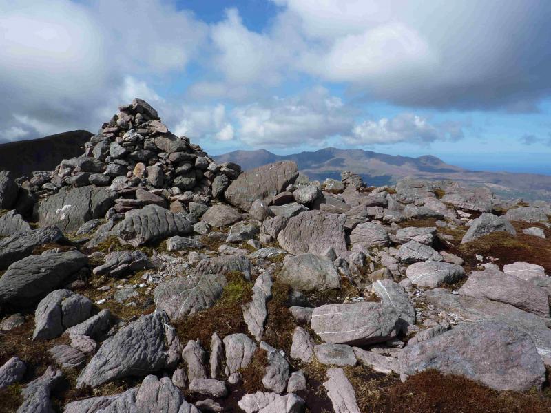
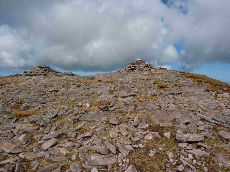
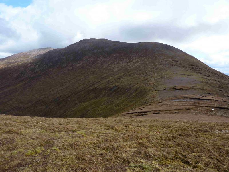
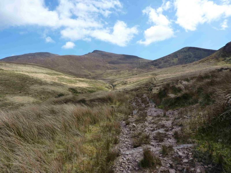
(1) From Stradbally, walk E for about 1 km to a road on the left for Castlegregory and a forest track on the right. Walk up the track, climbing over the entrance gate if it is locked. Stay on the main track ignoring any turnings. There is one point where it may not be obvious where the main track goes so go left here. The track ends at two large aerials. Continue ahead on a lesser track to an animal enclosure. An even rougher track continues from here which can be followed some distance. When it finally peters out, ascend N to reach the fence along the E ridge. Note that a prominent cairn seen from some distance is not the summit which lies about 200 m further back. Follow the fence until it goes left then continue ahead, over stony ground to reach a medium cairn which marks the summit of Stradbally Mountain, 798 m. To the immediate W of the cairn, steep slopes drop to Loch an Choimin.
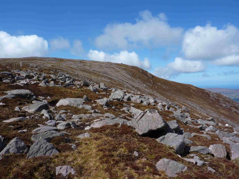
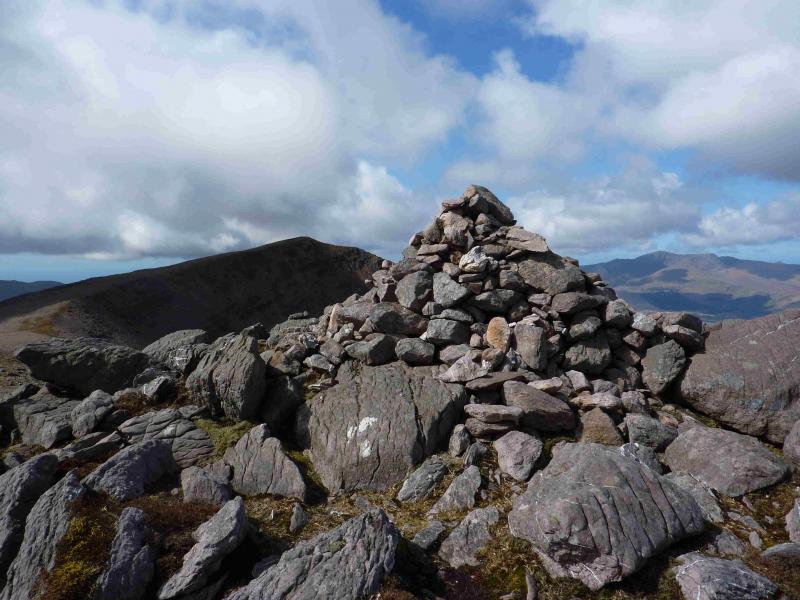
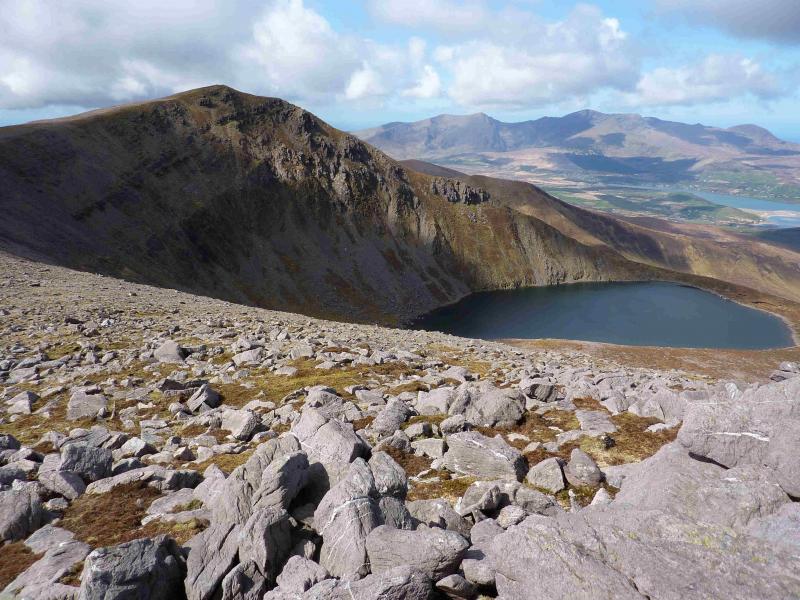
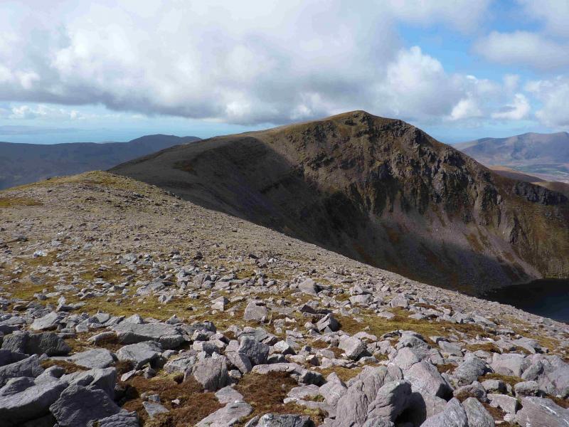
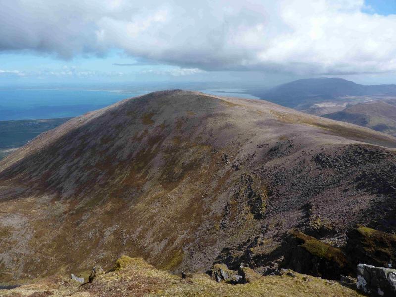
(2) From the summit, descend SW, losing only about 50 m of height, and follow the edge of the coom around and up to the two cairns about 10 m apart. The W cairn marks the summit of Beenoskee, 826 m. There is now no sign of the trig point mentioned in some guide books.
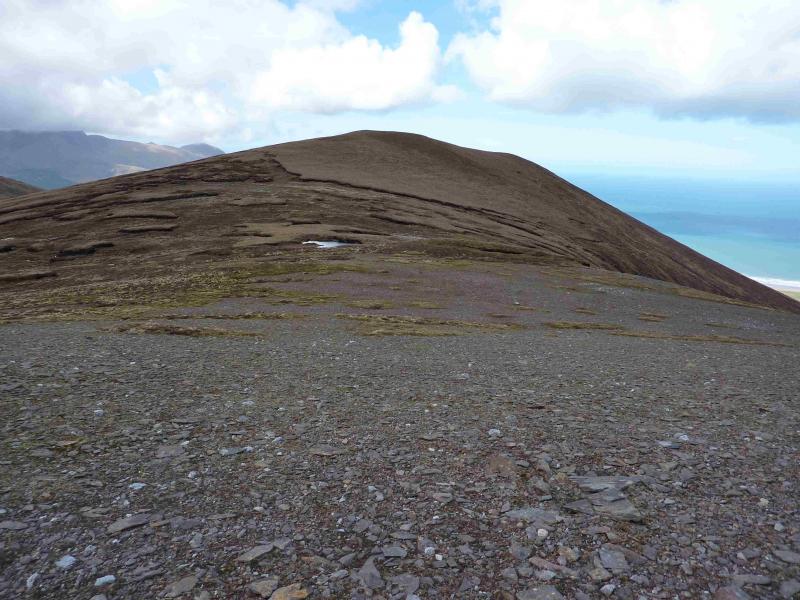
(3) Descend SW down gentle slopes to reach flat ground after which a short rise leads to a cairn at about Q 577 087. From here descend roughly WNW then NW to reach a broad col. Ascend NW to reach a fence about 1 m high with barbed wire on top which needs care to cross unscathed. Continue up to reach a flat grassy area where there is no cairn to mark the summit of An Com Ban, 610 m.
(4) From the summit, descend WNW initially then N down a reasonably well defined grassy ridge. Keep to the right hand edge where there is a shallow grassy “trough” for some distance. When a shallow col is reached, drift right and descend down to a rough track which is not shown on the map. Follow this, wet and boggy in places, until it becomes more defined and heads N on the W side of the river. When the track swings right at a wall, continue ahead through a metal gate and walk down to the next wall with a fence on the top. Enter the field beyond by either looking left for a gate (not checked out) or going right to a corner and climbing over. Walk down the right hand side of the field above the river taking care not to disturb any livestock especially at lambing time, going through gates to access the next field. In one field, it is necessary to follow a wall left to find the gate. Eventually, reach the road after a double gate. Turn right on to the road, E, and walk about 2 km back to Stradbally. A track shown on the map which meets the road at Q 573 119 is not visible from the road so, if aimed for, may be difficult to locate in descent.
Notes
(a) This walk took place on 19th April, 2013.
(b) There is a very good camp and caravan site, near the village of Castlegregory, called the Anchor Caravan Site.. It is very well laid out with good facilities for campers including hot showers for a small extra charge. There is a good campers’ kitchen with tables and sinks if you have your own cooking equipment and pans as well as a fridge and freezer. There is also a sitting room with a TV. Castlegregory is on the N side of the Dingle Peninsula. From Dingle, go over the Connor Pass, then follow the coast road towards Tralee, past Castlegregory (excellent Spar shop here) until signs appear. If you reach a large petrol station/stores on the right, you have gone too far. At the bottom of this site is a gate from where a short path goes over a sand dune to the beach and Atlantic Ocean. Well equipped trailer vans are also available for hire.
Photos - Hover over photo for caption. Click on to enlarge. Click on again to reduce.